Long walks in the North Cotswolds
The longest loop starts in Bourton-on-the-Water: a 10.2-mile day on the Wardens' Way through Lower and Upper Slaughter to Naunton, and home by the Windrush Way in four to five hours. It has stiles, 400m on the B4068 and two crossings of the Fosse Way.
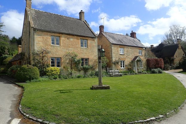
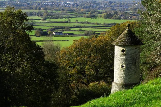
From Chipping Campden, the 9-mile loop to Blockley has 306m of climbing, five stiles and 200m of busy road. From Guiting Power, a 6.3-mile loop, which its leaflet subtitles from dovecotes to racehorses, takes three to three and a half hours. From Stanton, a 6.6-mile loop climbs the Cotswold Way and crosses to Snowshill and its manor, with a 2.5-mile short cut.
The Cotswold Edge
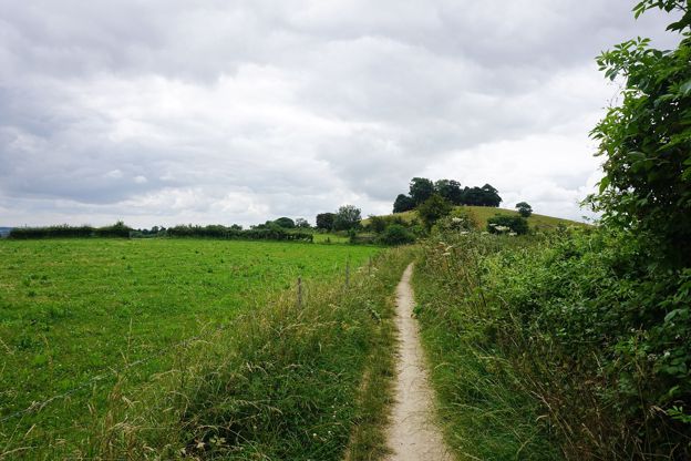
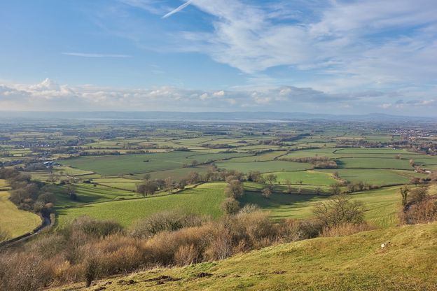
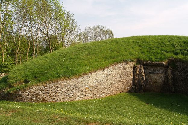
On the Cotswold Edge, the 9.2-mile loop from Winchcombe climbs to Belas Knap, the Neolithic long barrow, and the top of Cleeve Common, about 353m in all, in four to four and a half hours. The 8.5-mile loop from Wotton-under-Edge has the most climbing of our day loops, about 410m in three ascents.
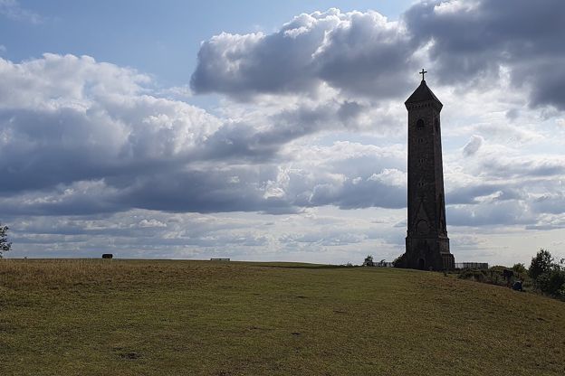
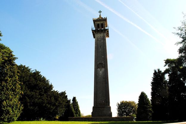
Walkers on the Wotton loop say take water for yourself and a dog, as there is none on the way. Between Nailsworth and Wotton, the 7.5-mile walk from Kingscote follows Ozleworth Brook along the wooded floor of Ozleworth Bottom, past a six-sided church tower and a castle mound. Above Stroud, the 6.5-mile figure of eight from Eastcombe runs through steep beech woods; in 2026 walkers found forestry work closing part of its northern loop, so check for notices.
Long walks in the east and south
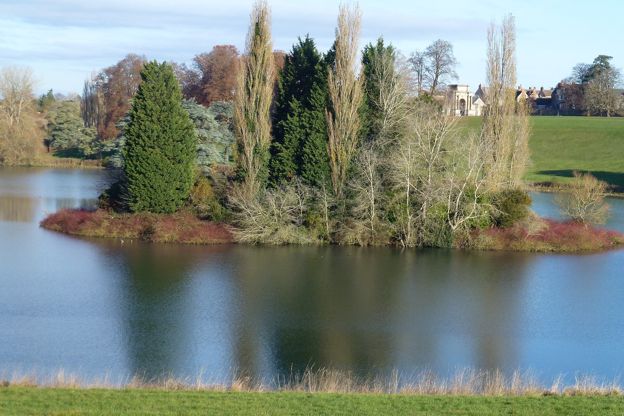
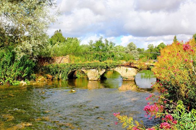
From Coln St Aldwyns, a 6.5-mile loop goes up the River Coln to Bibury and back over the high fields, with the pub and shop at both ends; take water, as there are no shops between the villages. Near Woodstock, the 6.7-mile walk from Combe crosses Blenheim's park mostly on public footpaths, which are free to walk; about 570m by Queen Pool follows an estate road that is not a right of way, so check the signs at the gates.
In the South Cotswolds, the heritage trail from Biddestone runs 6.6 miles to the paper mill at Slaughterford and the White Hart at Ford, and back down the By Brook. The 6.5-mile loop from Tetbury follows the old railway line to Ashley and its Norman church, and comes back on the Monarch's Way, aiming for the town's spire.
The Cotswold Way
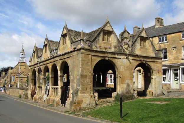
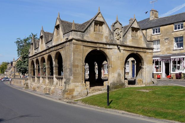
The Cotswold Way is a National Trail of 102 miles (164km) from the Market Hall in Chipping Campden to Bath Abbey, waymarked with the acorn, and the official guidebook suggests seven to ten days to walk it all. The National Trail divides it into 15 sections, two of which we cover as walks of their own.
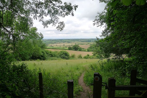
The second section, Broadway to Wood Stanway, is 6.6 miles one way, with a long climb to the top of the edge at Shenberrow and a steep descent into Stanton. Walkers say there are no toilets or cafés between Broadway and Wood Stanway, so take water and food, and plan the way back before you start.