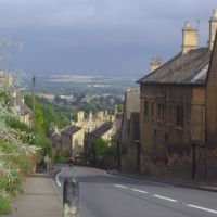
Colin Park, CC BY-SA 2.0, via Wikimedia Commons
Condicote
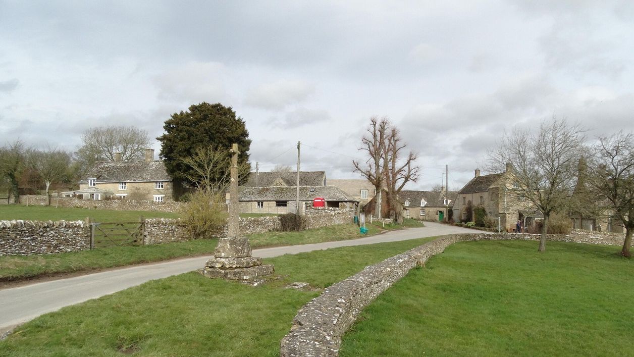
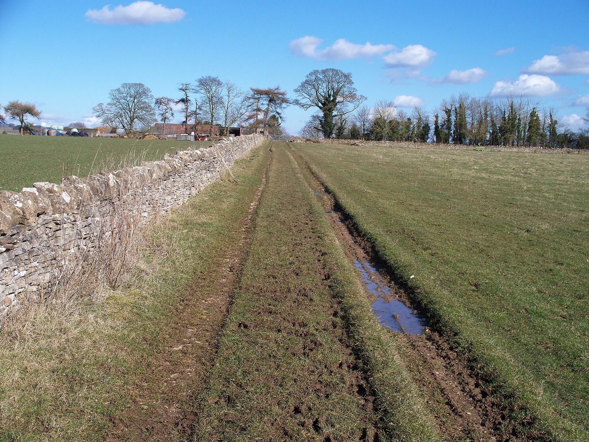
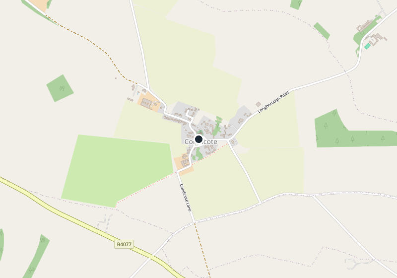
A hamlet round a green on the high wold north-west of Stow, with a twelfth-century church, a medieval cross over a spring, a Roman road for its western lane and a henge in the fields.
- Nearest station
- Moreton-in-Marsh, about 6 miles (10km) by road, then a taxi or the Robin minibus
- Parking
- No public car park. Park with care on the lanes round the green and never across a gateway
- Best time
- A clear day in spring or autumn, for the open wold and the church's carving
- When it's busy
- Never busy: there is no pub, shop or car park to draw visitors
- Toilets
- None in the hamlet; the nearest public toilets are on Stow-on-the-Wold's Market Square, 50p
- Dogs
- Keep dogs on leads on the field paths of the Gloucestershire Way
About Condicote
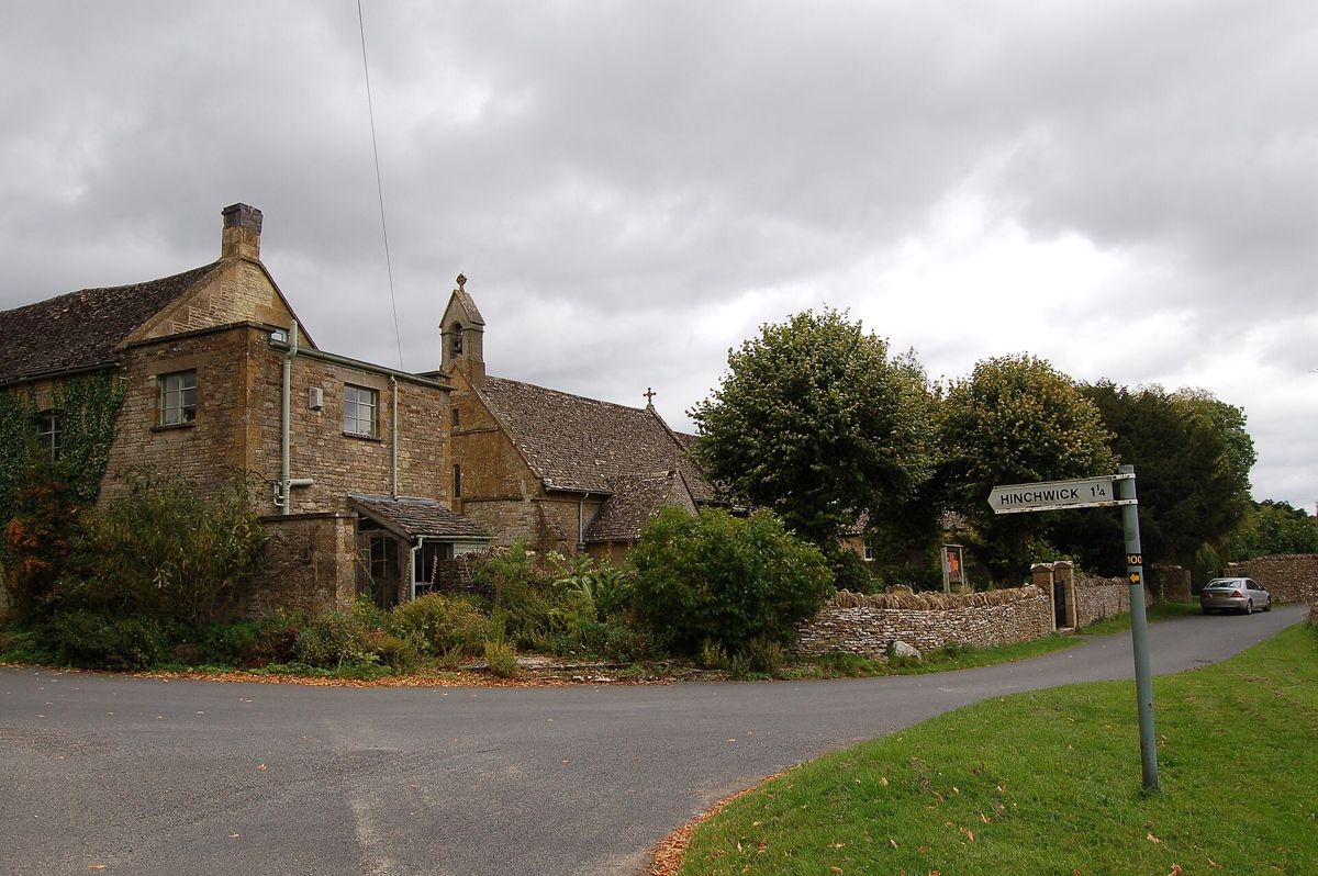
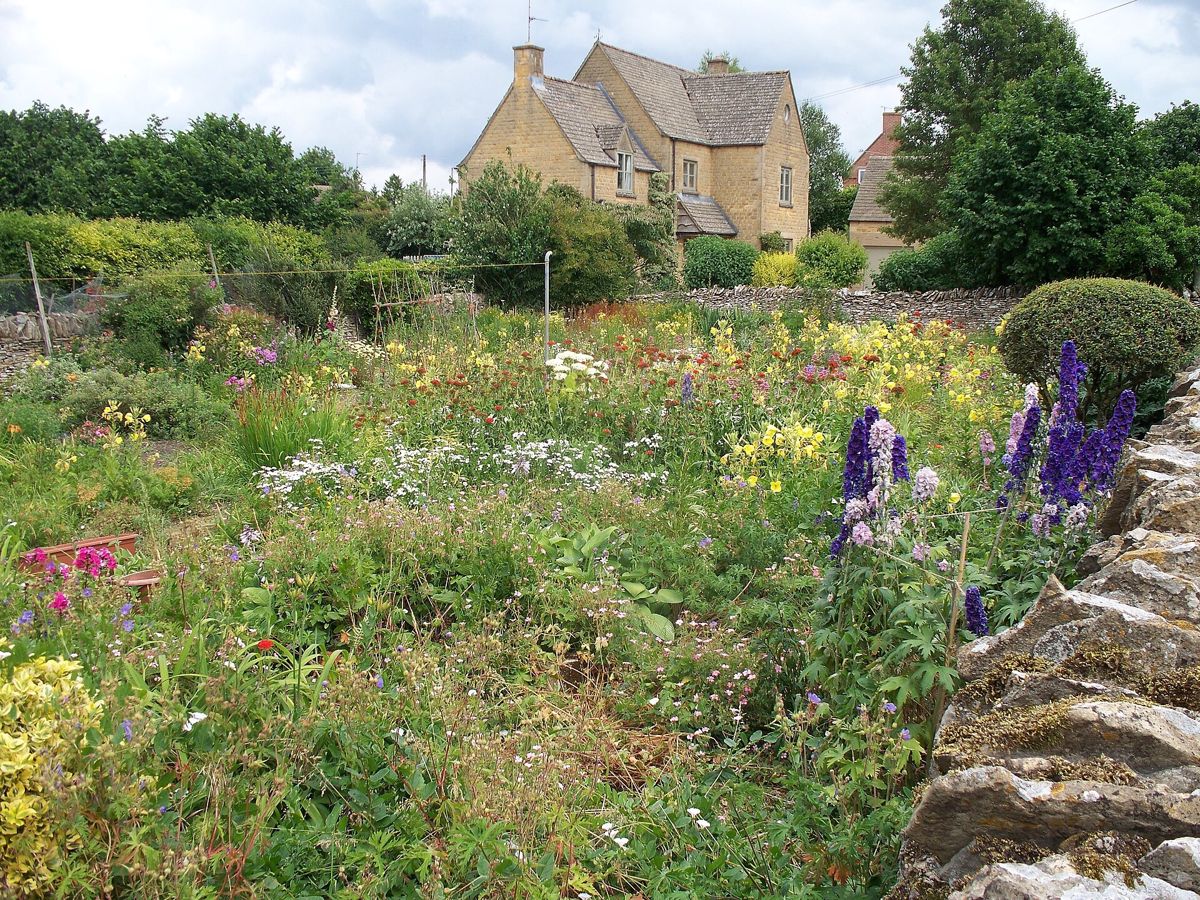
Condicote is a hamlet on the open wold about 3 miles north-west of Stow-on-the-Wold. Its houses stand round a green, the church on the north side and four farmhouses of the seventeenth and eighteenth centuries at the corners, much as the Victoria County History found them in the 1960s. There is no pub or shop; what brings people is a Roman road, a henge and a cross over a spring.
What to see
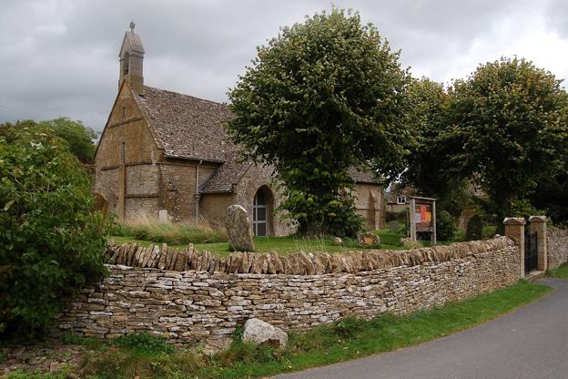
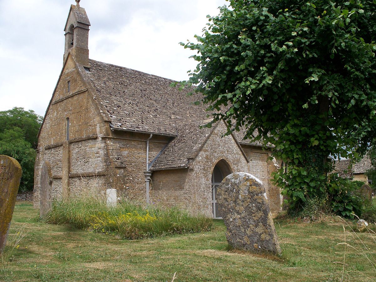
St Nicholas's church, on the north side of the green, is a small twelfth-century building of nave and chancel, listed Grade II*. Its south doorway has two orders of shafts, chevrons and a tympanum covered in chip-carved crosses. Mark Hookham of Stow restored it heavily in 1888, which the county history called more than usually disgraceful. Its own page lists Book of Common Prayer services at 9.15am, Matins on the second Sunday of the month and Holy Communion on the fourth, and gives no other opening times.
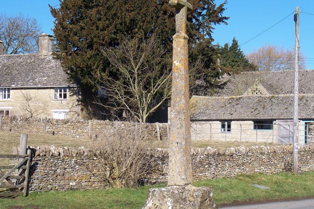
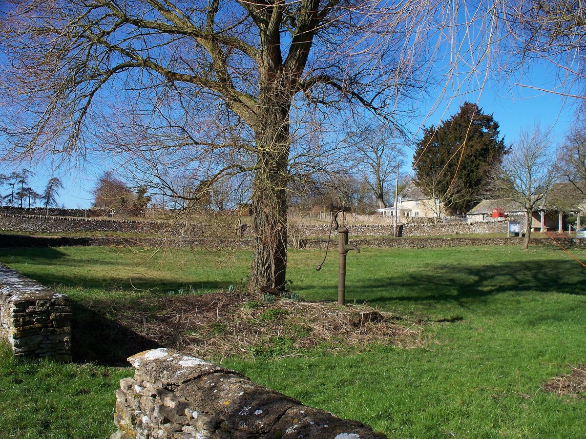
On the green, about 65m south-west of the church, is the village cross, listed Grade II and a scheduled monument: three worn steps and a base of the late fourteenth or early fifteenth century, a plain shaft of 1864, and a finial cross taken from the church's west gable in 1888. It marks a spring that tradition says is a holy well, which was the village's main water supply until mains water came in 1937.
About 180m east of the church is Condicote's henge. Historic England schedules it as Condicote earthwork. The Royal Commission's survey of 1976 describes a circular bank of about 3 acres (1.2 hectares) with a causewayed ditch inside it, much flattened, probably a Neolithic henge, and excavation later found pottery with Beaker affinities in the ditch. Little shows, and it is farmland with no public access that we know of.
Ryknild Street, the Roman road from the Fosse Way at Bourton-on-the-Water to Watling Street at Wall in Staffordshire, runs past the hamlet about 270m to the west, where it is the lane called Condicote Lane.
Half an hour here, and the walks
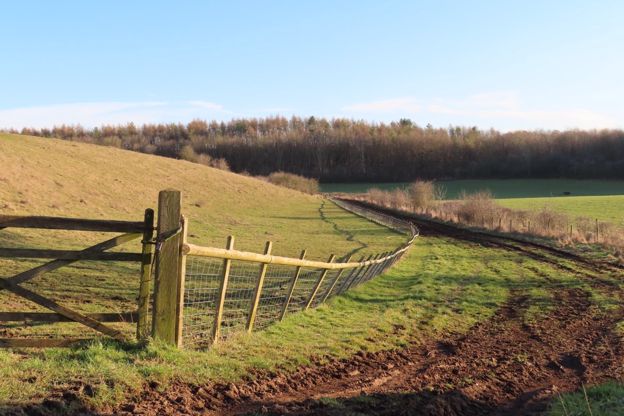
Half an hour sees the green, the cross and the church door. None of our walks starts here yet, but the Gloucestershire Way, a long-distance path across the county, passes through, OpenStreetMap shows.
Food and drink
There is none in Condicote. The nearest pubs are the Coach and Horses at Longborough and the Golden Ball at Lower Swell, in the Swells, both Donnington Brewery houses. The Coach and Horses opens every day but serves no food on Mondays, and the Golden Ball is closed on Mondays and Tuesdays, by their own websites.

The Cotswolds Info newsletter
Events, new places and the best of the season, about once a month. Unsubscribe at any time.
When to come
A low sun in spring or autumn picks out the carving on the south door. Condicote is quiet in every season; the busy days nearby are Stow's horse fairs in May and October, when the town, not the hamlet, fills.
Last verified 1 November 2026 by our editors
Part of
The North Cotswolds
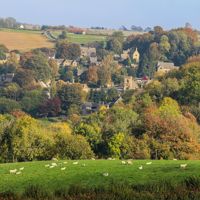
The high wolds between Chipping Campden and Bourton-on-the-Water: the Fosse Way towns, the Windrush villages, the Slaughters and the escarpment at Broadway.
Things to do in Condicote
Parks and gardens · Moreton-in-Marsh
Sezincote House and Garden
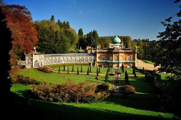
A Mughal-style house of 1805 and its water garden near Moreton-in-Marsh, privately owned, with the garden open from March to November, midweek.
-
Cotswold Farm Park
Family days out · Guiting Power
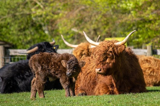
Adam Henson's farm near Guiting Power, opened by his father Joe in 1971 to show rare and native breeds, with play barns, a restaurant and a Changing Places toilet.
Family-friendly
Verified Oct 2026
-
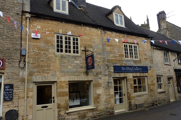
Red Rag Gallery
Museums and galleries · Stow-on-the-Wold
A gallery of contemporary British painting, sculpture and prints on Church Street, Stow-on-the-Wold, with more than 200 original works on two floors and changing exhibitions, open every day.
Rainy days
Verified Oct 2026
-
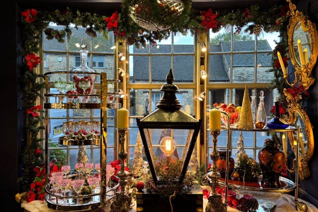
Durham House Antiques
Antiques and vintage · Stow-on-the-Wold
An antiques centre on Sheep Street, Stow-on-the-Wold, where about 30 dealers share four large showrooms of furniture, paintings, silver, glass, jewellery and books, open every day.
Rainy days
Verified Oct 2026
Where to stay in Condicote
-
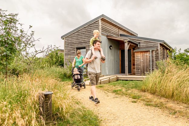
Cotswold Farm Park Holidays
Glamping · Guiting Power
Lodges, cabins, safari tents, glamping pods and camping pitches at Adam Henson's Cotswold Farm Park above Guiting Power, with entry to the farm included.
Dog-friendly · Family-friendly · Hot tubs
Verified Oct 2026
-
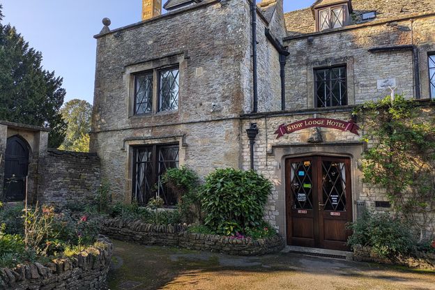
Stow Lodge Hotel
Hotel · Stow-on-the-Wold
A family-run hotel with 20 rooms in Stow's former rectory of 1763 on the Square, with a restaurant, a bar, gardens and a private car park; no pets.
Verified Oct 2026
-

The Old Stocks Inn
Inn · Stow-on-the-Wold
A seventeenth-century coaching inn on the Square at Stow-on-the-Wold, with 16 rooms and a restaurant with two AA Rosettes.
Dog-friendly
Verified Oct 2026
Where to eat and drink in Condicote
-
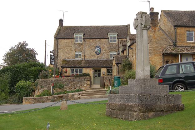
The Coach and Horses
Pubs · Longborough
A Donnington Brewery pub on a bank above the green and war memorial in Longborough, with a log fire, a garden, a changing menu of local produce and Sunday roasts.
Verified Nov 2026
-
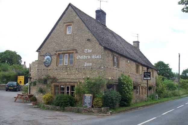
The Golden Ball
Pubs · Upper and Lower Swell
A Donnington Brewery pub in Lower Swell, about a mile west of Stow-on-the-Wold, run by a mother and daughter, Fiona and Becky, with homemade pub food, a beer garden and dogs allowed throughout.
Dog-friendly · Family-friendly
Verified Oct 2026
Walks in and around Condicote
-
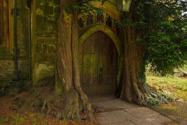
Stow-on-the-Wold and Maugersbury
Walk · Starts in Stow-on-the-Wold · 2 hrs · Circular
A 3.75-mile (5.5km) circular walk without stiles from the Cross in Stow-on-the-Wold, easy with 130m of ups and downs and about two hours: past the Porch House and Maugersbury Manor to the Fosse Way, down to Hyde Mill and back up through white gates by Nether Swell.
-
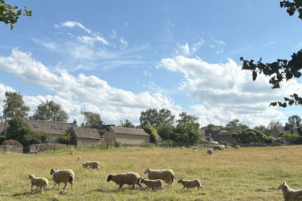
Stow and Lower Swell
Walk · Starts in Stow-on-the-Wold · 1 hr, 45 mins · Circular · Dog-friendly
A 3.6-mile (5.8km) moderate loop from Stow-on-the-Wold of about an hour and three quarters, down the fields by Nether Swell to the River Dikler at Hyde Mill, up Mill Lane to Lower Swell's Norman church and Lutyens war memorial, and back to Stow beside the B4068.
-
Harford Bridge and Naunton
Walk · Starts in Naunton · 1 hr, 15 mins · Circular
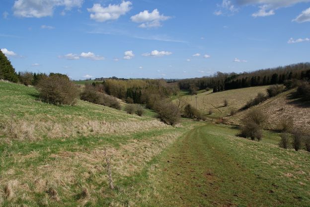
A 3-mile (4.8km) circular walk from Harford Bridge near Naunton, easy, stile-free and about an hour and a quarter: past the earthworks of the lost village of Lower Harford, along the Windrush Way, then into Naunton by its church, its rector's bridge and the Black Horse.
Sights in and around Condicote
-
St Mary's Church, Lower Swell
Sight · Church · Stow-on-the-Wold
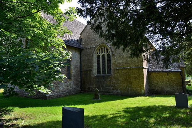
St Mary's at Lower Swell, a mile west of Stow, is two churches in one: a twelfth-century nave and chancel, now the south aisle and chapel, beside a larger church of 1852. Its Norman doorway has a Tree of Life tympanum and its old chancel arch rare carvings. Grade II*.
-
Lower Swell war memorial
Sight · Monument · Stow-on-the-Wold
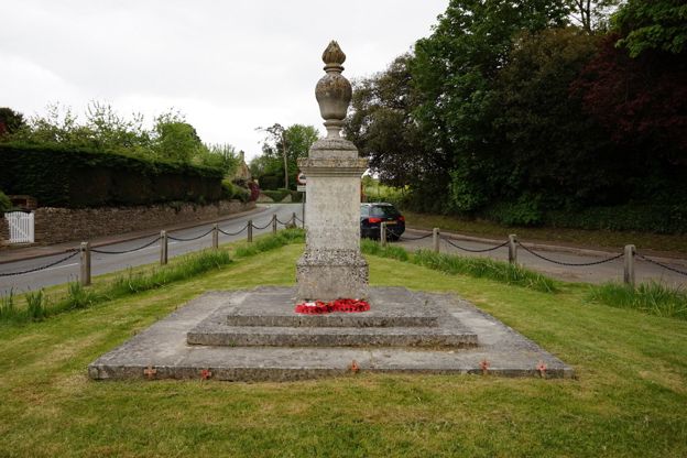
Lower Swell's war memorial is a flaming urn on a stone pedestal on the village green, designed by Sir Edwin Lutyens and unveiled in 1921. Lutyens had worked at Abbotswood nearby for Mark Fenwick. It is on the Stow and Lower Swell walk, open at all times. Grade II.
-
Pineapple Spa, Lower Swell
Sight · Historic building · Stow-on-the-Wold
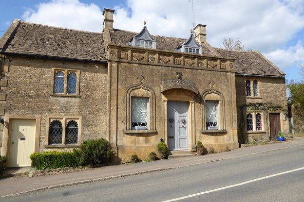
The Pineapple Spa is a row of cottages beside the B4068 between Lower Swell and Stow-on-the-Wold that began as a spa over a mineral spring found in 1807, with a front in the Indian style of Sezincote and a stone door hood crowned by a pineapple. Grade II*; private.
Getting to Condicote
- By car
- By the lanes north-west from Stow-on-the-Wold, about 3.5 miles, or from Longborough. The lanes are narrow and cross the open wold.
- By bus
- No timetabled bus. The Robin, Gloucestershire's bookable minibus, stops at St Nicholas's church and the village hall; £3 an adult single on the council’s fares page, free with a concessionary pass.
- By train
- Moreton-in-Marsh, on GWR's Cotswold Line from London Paddington, is about 6 miles (10km) by road; then a taxi or the Robin.
Access
The green is reached from the lanes. Inside St Nicholas's there are two steps down, its listing records.
| Longborough | 3.1 mi |
|---|---|
| Lower Swell | 3.1 mi |
| Stow-on-the-Wold | 3.7 mi |
| Moreton-in-Marsh station | 6.2 mi |
| Bourton-on-the-Water | 7.5 mi |
Places near Condicote
-
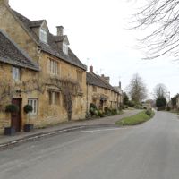 LongboroughA hillside village above the Evenlode valley between Stow and Moreton, with a 500-seat opera house in a garden, a Grade I church of knights and Cockerells, a Donnington pub on the green and a community shop.
-
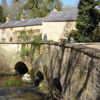 Upper and Lower SwellTwo villages on the River Dikler a mile west of Stow: Lower Swell with its Norman church, Lutyens war memorial, pineapple-topped spa and Donnington pub, and Upper Swell with a Grade I church and a mill beside the road.
-
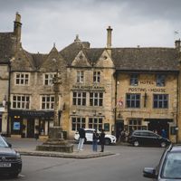 Stow-on-the-WoldA hilltop market town on the Fosse Way, more than 230m up, with a broad Square, a church that held 1,600 prisoners after the last battle of the Civil War, and a horse fair.
-
 Bourton-on-the-HillThe village that climbs the A44 west of Moreton-in-Marsh, with a Grade I church open every day, Bourton House Garden and its tithe barn of 1570, the Horse and Groom, and Sezincote and Batsford at the foot of the hill.