August Schwerdfeger, CC BY 4.0, via Wikimedia Commons
Stow-on-the-Wold and Maugersbury
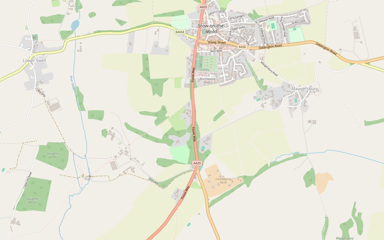
A 3.75-mile (5.5km) circular walk without stiles from the Cross in Stow-on-the-Wold, easy with 130m of ups and downs and about two hours: past the Porch House and Maugersbury Manor to the Fosse Way, down to Hyde Mill and back up through white gates by Nether Swell.
- Distance
- 5.5 km (3.4 mi)
- Difficulty
- Easy
- Time
- 2 hrs
- Ascent
- 130 m
- Circular
- Circular
The route
Starts at Stow Cross in the Market Square, Stow-on-the-Wold Road walking Download GPX
Step by step
-
Step 1: Down to Maugersbury Manor
From the Cross, walk down Digbeth Street to the Porch House. Cross Well Lane, then use the pedestrian crossing to reach the far side of Park Street. Follow Park Street downhill and bear right at the junction. Cross Lower Park Street and walk down the unmade road to Maugersbury Manor.
-
Step 2: The tree-lined road to South Hill
With the manor on your left, follow the road downhill to a minor crossroads. Turn right along the tree-lined road for 800m to the Fosse Way. Turn left down South Hill, past St Edward's Well hidden in the trees on your left, to the junction with the Burford Road (A424).
-
Step 3: Across the Fosse Way to Hyde Mill
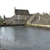
Cross the Fosse Way with great care, using the first traffic island. Turn left down the verge past the gate lodge of Nether Swell Manor, then follow the bridleway down the lower of two surfaced roads, signed as a private drive to Hyde Mill, for 850m, passing Hyde Mill Farm. As you approach the tree-lined avenue to the mill, turn right and follow the track round the field to come out near the mill.
-
Step 4: Up through Nether Swell
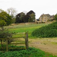
Turn right through two white gates and head for the left-hand corner of the large equestrian training centre. Go through a white gate and up the steps, with the equestrian building on your right, and walk uphill through Nether Swell Manor Farm. Go through the series of white gates ahead and uphill through the white gate at the edge of a strip of trees, then bear right through the trees to the next gate at the edge of the wood.
-
Step 5: South Hill Farm and back into Stow
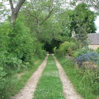
Leaving the wood, go through a gate and straight along a clear path on the left side of the field, with the hedge on your right. Go through another gate and on past South Hill Farm on your right to the Fosse Way. Turn left along the pavement towards Stow, cross by the traffic island and turn left, with a graveyard and yew trees on your right. Cross Back Walls and walk along the front of Wragg's Row to the traffic lights on Sheep Street. Cross Sheep Street, turn right in front of the Unicorn, then left down Church Street, and follow it round past St Edward's Church to the Market Square opposite the Cross.
Sights on the way
The sights this walk passes, numbered as on the map.
-
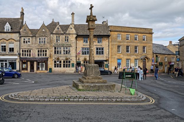
Market cross, Stow-on-the-Wold
Sight · Monument · Stow-on-the-Wold
Stow's market cross stands in the southern half of the Market Square: a medieval calvary and socket stone, probably of the fourteenth century, carrying a shaft and lantern head restored in 1878 and again in 1995, when its four carved panels were restored. Grade II and scheduled.
-
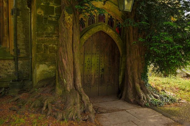
St Edward's Church, Stow-on-the-Wold
Sight · Church · Stow-on-the-Wold
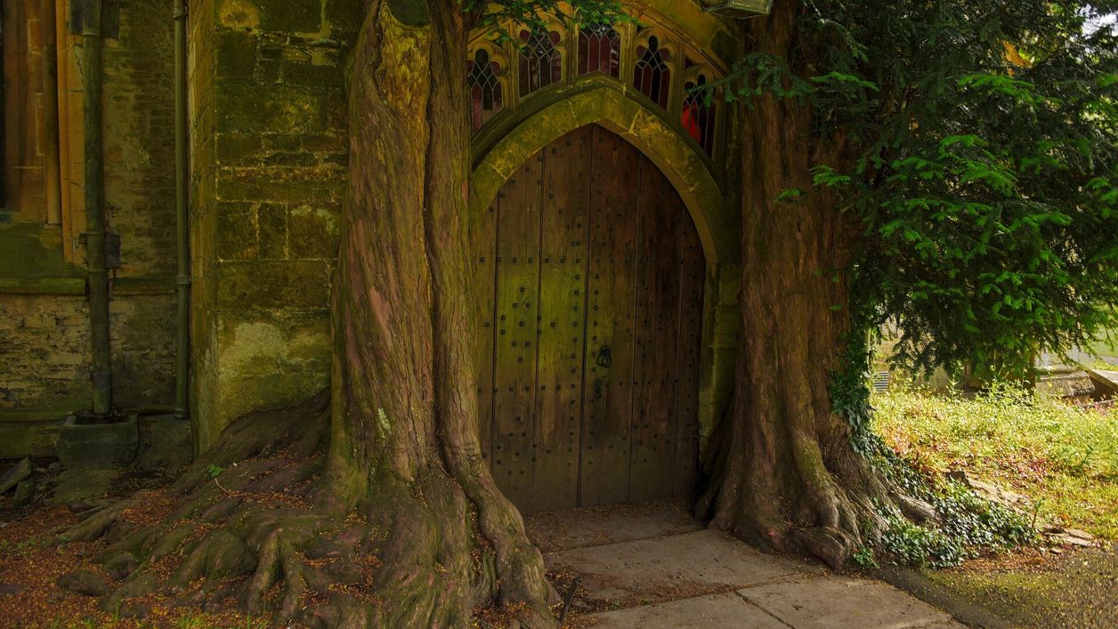
St Edward's is Stow-on-the-Wold's Grade I parish church, beside the Market Square, with a fifteenth-century tower seen across the wold and a north door framed by two yews. Royalist prisoners were held inside after the battle of 1646. Open daily.
The walk in detail
The Stow-on-the-Wold and Maugersbury walk is a 3.75-mile (5.5km) circular walk without stiles from the Cross in the Market Square of Stow-on-the-Wold. It takes about two hours, with 130m of ups and downs, dropping to Hyde Mill in the valley and climbing back. The Porch House, a Jacobean town house with a datestone of 1615 and now an inn, is a few steps from the start.
The walk is one of the Cotswolds National Landscape's Miles Without Stiles routes. Its leaflet gives the distance as 3.75 miles and 5.5km and its route page as 6km, which do not quite agree; our line along the paths comes to about 5.9km. The leaflet was last checked by its authors in December 2023.
The Square and Digbeth Street
The walk starts at the Cross in the southern half of Stow's Market Square and leaves down Digbeth Street, past the Porch House. The town grew round its market square, and the Cross is late medieval, restored in 1878, with carved figures in its gabled head; it is both listed and a scheduled monument.
A few steps down Digbeth Street, the Porch House is a Brakspear inn with rooms that calls itself England's oldest inn, a claim we have not been able to confirm. What its listing does say is that it is a good Jacobean town house, possibly sixteenth century, remodelled in the early seventeenth with a datestone of 1615, and said to stand on the site of a medieval hospice. It is listed Grade II*, under its old name of the Royalist Hotel. In Fountain Court off Digbeth Street, the Old Bakery Tearoom makes all its food on the premises and lets dogs in.
Maugersbury and the Fosse Way
The first mile takes you down Park Street out of the town to Maugersbury Manor, then west along a tree-lined road to the Fosse Way. The Victoria County History takes Maugersbury to be the parish's first settlement, older than the market town of Stow, which was anciently called Stow St Edward. From the crossroads below the manor, the tree-lined road runs 800m to the Fosse Way, and the walk turns down South Hill past St Edward's Well, hidden in the trees.
The Fosse Way is the A429 here, and the leaflet asks you to cross it with extreme caution, using the first traffic island. On the far side is the gate lodge of Nether Swell Manor, built around 1903 by E Guy Dawber at the entrance to a half-mile drive, with tall gatepiers topped by stone balls.
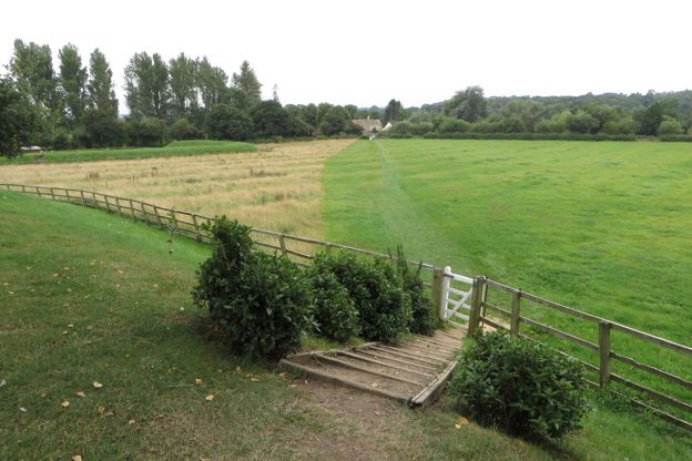
Hyde Mill and Nether Swell
Hyde Mill, at the bottom of the valley, is the walk's lowest point and its turning point. The bridleway follows a private drive down for 850m towards the mill, past Hyde Mill Farm, and a track round a field brings you out near it. The way back up starts by a large equestrian training centre, with a run of white gates and some steps, then climbs through Nether Swell Manor Farm. Our loop from Stow to Lower Swell also passes Hyde Mill.
Nether Swell Manor itself was built in 1903, 1906 and 1909 by Dawber for Sir John Scott, a country house in a free Jacobean style, with plasterwork by Marcel Boulenger in the wing of 1909. Higher up, past a strip of trees and a wood, the path passes South Hill Farm, whose listed farmhouse is early nineteenth century in the Gothick style, with ogee-headed windows.
Wragg's Row, the Unicorn and St Edward's
The last half mile brings you back into Stow along Wragg's Row and past the Unicorn to St Edward's Church. Number 4 Wragg's Row is a seventeenth-century cottage of one and a half storeys under a Cotswold stone roof, and numbers 3, 5, 7, 8 and 9 are listed as well. The Unicorn, on the corner of Sheep Street and the Fosse Way, is mid eighteenth century in its present form, with an angled bay added in the early nineteenth and a nineteenth-century extension along the Fosse Way with two arched coachways.
Church Street leads round past St Edward's, Stow's parish church, listed Grade I. It has Saxon origins and Norman work in the nave, was extended in the thirteenth and fourteenth centuries and has a fifteenth-century tower. After the Battle of Stow on 21 March 1646, the last battle of the first Civil War, the Victoria County History records that more than 1,600 prisoners were held in the church. It is open every day.

The Cotswolds Info newsletter
Events, new places and the best of the season, about once a month. Unsubscribe at any time.
Food, parking and toilets
The food on this walk is all in Stow, where the leaflet points you to the cafés and pubs. Besides the Porch House and the tearoom, the Old Butchers on Park Street is a restaurant in a former butcher's shop, in the Michelin Guide and closed on Sundays and Mondays, and the Bell at Stow, also on Park Street, is a Young's pub with rooms. For a night in the town, see our places to stay in Stow-on-the-Wold.
The leaflet suggests parking at Tesco's public car park or the Oddington Road car park. The council's car park by Tesco, the Fosseway car park (GL54 1BX), is free. There are public toilets on the Market Square, costing 50p.
Paths, gates and roads
There are no stiles on the walk, but there are steps, gates and two crossings of the Fosse Way. The route uses pavements, an unmade road, a surfaced private drive, a bridleway and field paths, with steps by the equestrian centre and a run of white gates below Nether Swell Manor Farm. The National Landscape rates it for unsurfaced paths and basic fitness.
Both crossings of the Fosse Way are by traffic islands, and there is a stretch along its pavement on the way back into town. The leaflet says nothing about dogs or livestock, but the route passes an equestrian centre and farm fields, so keep a dog close there.
More walks nearby
The longest walk from here is the loop from Bourton to Stow and back by Lower Slaughter, at more than 9 miles. From Moreton-in-Marsh, the walk to Batsford and Dorn is another of the National Landscape's routes without stiles, 4 miles with less climbing, and it starts at the war memorial on the High Street. Our guide to Cotswold pubs has more on the Porch House's claim and others like it.
Places on the way
-
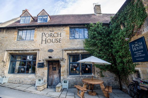
The Porch House
Inn · Stow-on-the-Wold
An inn with 13 rooms on Digbeth Street, Stow-on-the-Wold, serving breakfast, lunch and dinner every day, which calls itself England's oldest inn.
Dog-friendly
Verified Oct 2026
-
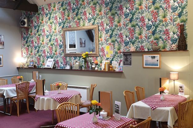
The Old Bakery Tearoom
Cafes and tearooms · Stow-on-the-Wold
A tearoom in Fountain Court off Digbeth Street, Stow-on-the-Wold, run by Jackie and Alan since 2005, where all the food is made on the premises and dogs come in.
Dog-friendly
Verified Oct 2026
-

The Old Butchers
Restaurants · Stow-on-the-Wold
A restaurant in a former butcher's shop on Park Street, Stow-on-the-Wold, run by Pete and Louise Robinson since 2005 and listed by Michelin.
Family-friendly
Verified Oct 2026
-
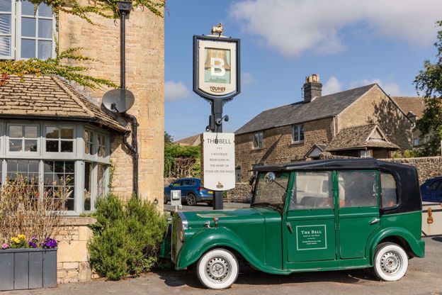
The Bell at Stow
Inn · Stow-on-the-Wold
A Young's pub with 14 rooms on Park Street, Stow-on-the-Wold, with dogs welcome in dog-friendly rooms.
Dog-friendly · Family-friendly
Verified Nov 2026
-

The Old Stocks Inn
Inn · Stow-on-the-Wold
A seventeenth-century coaching inn on the Square at Stow-on-the-Wold, with 16 rooms and a restaurant with two AA Rosettes.
Dog-friendly
Verified Oct 2026
-
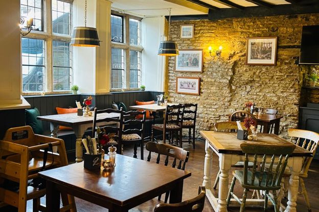
The Kings Arms, Stow
Inn · Stow-on-the-Wold
A former coaching inn on Stow's Market Square with ten rooms, three of them split-level stable rooms, a restaurant and its own parking.
Dog-friendly
Verified Oct 2026
Stay near the start
Inns, cottages and hotels within a short drive of where the walk begins, so you can set off early.
Where to stay in Stow-on-the-Wold-
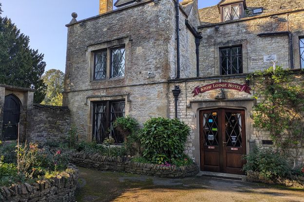
Stow Lodge Hotel
Hotel · Stow-on-the-Wold
A family-run hotel with 20 rooms in Stow's former rectory of 1763 on the Square, with a restaurant, a bar, gardens and a private car park; no pets.
Verified Oct 2026
-
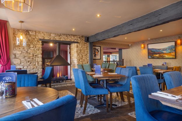
The Sheep on Sheep Street
Inn · Stow-on-the-Wold
An inn with 22 rooms and a restaurant on Sheep Street, Stow-on-the-Wold, open from breakfast to late every day, with some rooms for dogs.
Dog-friendly
Verified Nov 2026
-
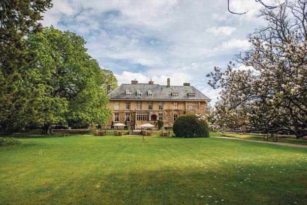
The Slaughters Manor House
Hotel · Lower Slaughter
A 17th-century manor house hotel with 19 bedrooms on Copsehill Road, Lower Slaughter, home of the Whitmore family until 1964, with dog rooms booked by phone.
Dog-friendly · Family-friendly · Wedding venues
Verified Oct 2026
More like this
Stories on this walk
-
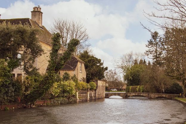
The accessible Cotswolds
Story · Guides · 12 minute read
The honest picture of access in the Cotswolds: which villages are level and which are cobbles and hills, the step-free days out, every Changing Places toilet we can confirm, Blue Badge parking, stile-free walks, accessible stays and getting about by train, bus and taxi.
-
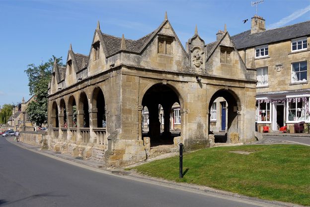
The best towns in the Cotswolds
Story · Guides · 12 minute read
The best market towns in the Cotswolds, from Chipping Campden, Stow and Burford to Cirencester, Tetbury, Winchcombe and Stroud: what each town is like, who it suits, and how to get there.
-
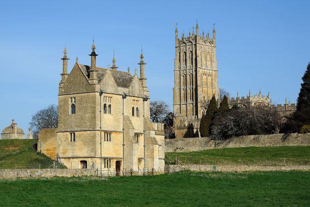
The Civil War in the Cotswolds
Story · History · 9 minute read
The storming of Cirencester and the battle of Lansdown in 1643, Sudeley Castle besieged and slighted, Campden House burned, the last battle of the first war at Stow in 1646, the Levellers at Burford and Chastleton's hidden Royalist, with where to see each.
More walks to try
-
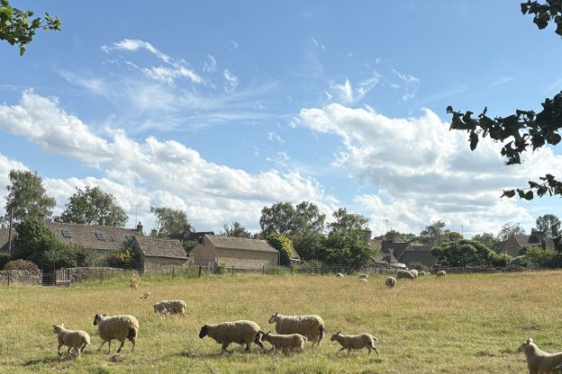
Stow and Lower Swell
Walk · Starts in Stow-on-the-Wold · 1 hr, 45 mins · Circular · Dog-friendly
A 3.6-mile (5.8km) moderate loop from Stow-on-the-Wold of about an hour and three quarters, down the fields by Nether Swell to the River Dikler at Hyde Mill, up Mill Lane to Lower Swell's Norman church and Lutyens war memorial, and back to Stow beside the B4068.
-
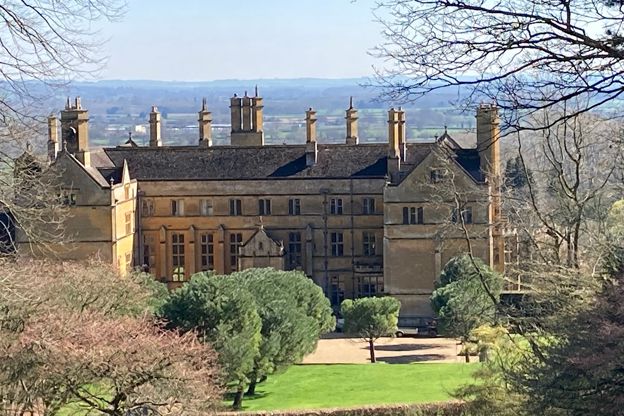
Moreton-in-Marsh and Batsford
Walk · Starts in Moreton-in-Marsh · 2 hrs · Circular
A 4-mile (6.4km) circular walk from Moreton-in-Marsh's war memorial, easy, stile-free and about two hours: west through field gates to Batsford, along the deer park below Batsford House, east on the watershed lane to Dorn and back past the mound of a Roman fort.
-
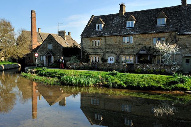
Lower Slaughter to Upper Slaughter
Walk · Starts in Lower Slaughter · 45 mins · Circular · Dog-friendly
A 2-mile (3.1km) there-and-back from Lower Slaughter, easy and almost level, in 45 minutes to an hour: on the Wardens' Way from Lower Slaughter's mill up the River Eye through riverside fields to Upper Slaughter's ford, church and manor, and back the same way.