Rodw, CC BY-SA 4.0, via Wikimedia Commons
Moreton-in-Marsh and Batsford
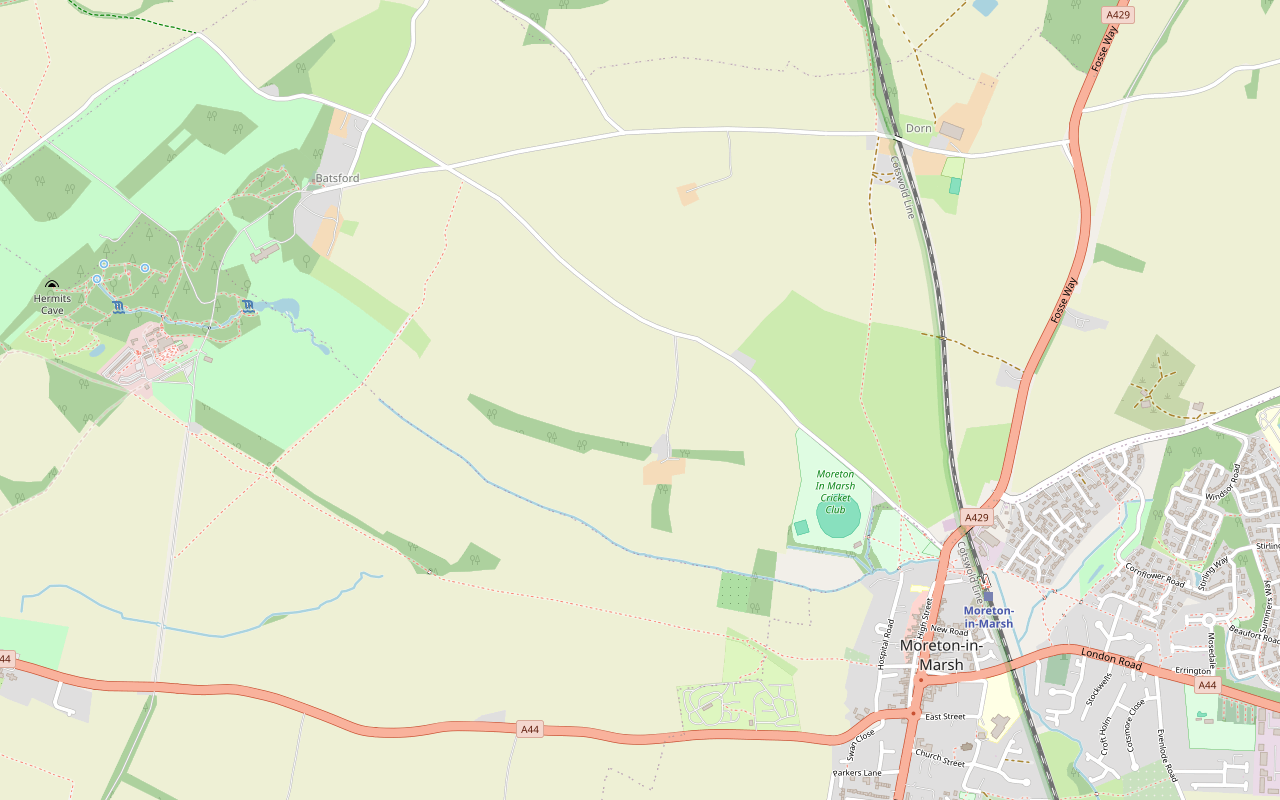
A 4-mile (6.4km) circular walk from Moreton-in-Marsh's war memorial, easy, stile-free and about two hours: west through field gates to Batsford, along the deer park below Batsford House, east on the watershed lane to Dorn and back past the mound of a Roman fort.
- Distance
- 6.4 km (4.0 mi)
- Difficulty
- Easy
- Time
- 2 hrs
- Ascent
- 45 m
- Circular
- Circular
The route
Starts at The war memorial, High Street, Moreton-in-Marsh Road walking Download GPX
Step by step
-
Step 1: Corders' Lane to the stone bridge
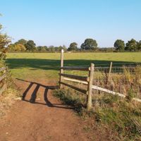
From the war memorial, walk south along the High Street towards Redesdale Hall and turn right into Corders' Lane. At its end, cross the road, pass the allotments and go through the first of seven gates into a field. Keep straight on, with a glimpse of Batsford House, and look for a gate in the hedge on your left. Go through five more gates. At the fifth, keep straight on to a gap in the hedge, then bear half right to a sixth gate and a stone bridge over a stream.
-
Step 2: Beside Batsford deer park
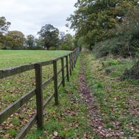
With a small wood on your right, go through two more gates and look for a long wall on your right. Turn right through a gate here and follow the track beside Batsford deer park. After about half a mile Batsford House comes into view. After a gate, where a track bears left towards farm buildings, keep straight on through a metal gate to a gate beside the road.
-
Step 3: The watershed lane to Dorn
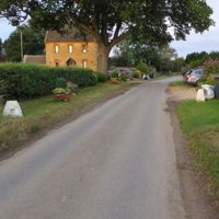
Turn left and walk 50m along the road on the right-hand side, facing the traffic. At the crossroads, turn right into a quieter lane; Batsford church is a short detour from here. Follow the lane along the watershed to the hamlet of Dorn.
-
Step 4: Back across the fields
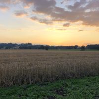
After the first house in Dorn, turn right on a track that becomes a footpath across the fields to Moreton. At the gate into the last field, Moreton Showground, bear half left past two mature trees framing a distant house. Before the road, look for a low mound on your right, the remains of a Roman fort.
-
Step 5: Into Moreton
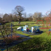
Cross into the recreation ground, bear left beside the playground and climb the steps to the road. Turn right for the High Street and the war memorial.
Sights on the way
The sights this walk passes, numbered as on the map.
-
Redesdale Hall, Moreton-in-Marsh
Sight · Historic building · Moreton-in-Marsh
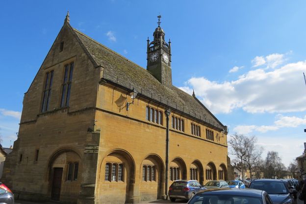
Redesdale Hall is Moreton-in-Marsh's market hall of 1887, standing in the middle of the High Street: designed by Sir Ernest George for Bertie Mitford of Batsford, later Lord Redesdale, with an arched ground floor, a clock turret and a tall chimney. Listed Grade II.
-
Curfew Tower, Moreton-in-Marsh
Sight · Historic building · Moreton-in-Marsh
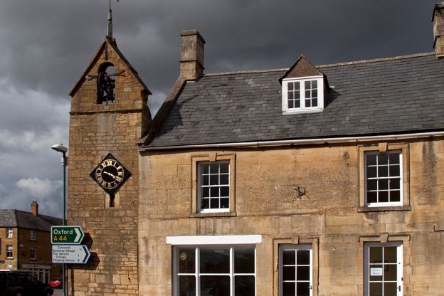
The Curfew Tower is a small sixteenth-century stone bell tower on the corner of Moreton-in-Marsh's High Street and Oxford Street, perhaps the town's oldest public building, with a bell of 1633, a clock of 1648 and a past as the town lock-up.
The walk in detail
The Moreton-in-Marsh and Batsford walk is a 4-mile (6.4km) circular walk from the war memorial on the High Street in Moreton-in-Marsh, one of the Cotswolds National Landscape's Miles Without Stiles routes. It is easy, with about 45m of ups and downs, and takes about two hours, past Batsford House and its deer park. The Redesdale pub is at the start.
The route goes west across the fields to Batsford, north beside the deer park, east along a lane on the watershed between the Severn and the Thames, and back past the mound of a Roman fort. The leaflet was last checked by its authors in October 2025.
The High Street and the Fosse Way
The war memorial at the start is listed: an octagonal sandstone shaft of about 1920 with St George and the Dragon on top, on a panelled base carrying the names and four wide steps. Its listing calls it an important feature of the High Street. As you walk south from it, the leaflet points out that the Roman Fosse Way is a metre below your feet.
Redesdale Hall, in the middle of the street, was built in 1887 to designs by Sir Ernest George for Bertie Mitford of Batsford Park, later Lord Redesdale. Its listing calls it an early example of the free Tudor style, with a clock turret on the ridge and a sundial on the east front under a tall crenellated chimney. The town itself was laid out along the Fosse Way by the abbot of Westminster between 1222 and 1246, and our guide to the Roman Cotswolds follows the road further.
Batsford House and the deer park
Corders' Lane takes you out past the allotments to the first of the field gates, and you get your first glimpse of Batsford House across the fields. At the stone bridge, the leaflet notes that the stream below you flows to the Thames. Remember it for later.
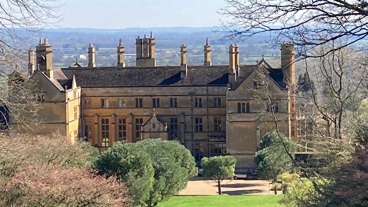
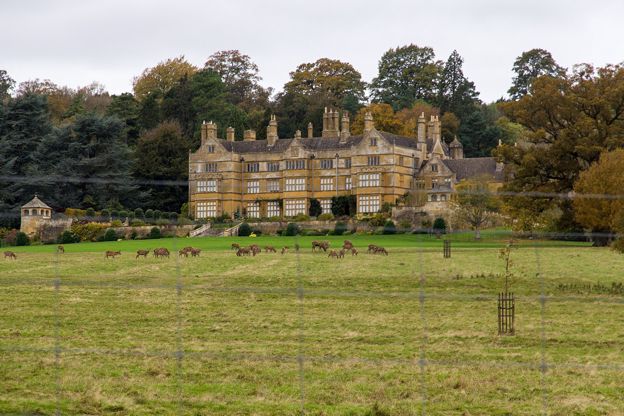
The track beside Batsford deer park is the heart of the walk. The leaflet says you might see a bird of prey being exercised from the falconry, and after about half a mile Batsford House comes into view, a Victorian house in the Elizabethan style where the Mitford girls grew up. Its listing dates it to 1888 to 1892, by Sir Ernest George and Peto for Bertie Mitford, later Lord Redesdale, the same architect and patron as the hall in Moreton, and records that King Edward VII stayed there. It is listed Grade II*. The falconry centre closes for the winter from mid-November to mid-February, so the birds are a summer and autumn sight.
Batsford Arboretum is on the same estate, with a café, garden centre and shop in a visitor centre that is free to enter. It opens every day, and dogs are welcome on a short fixed lead. It is a visit of its own rather than part of the walk.
Batsford church and the watershed
At the crossroads past the deer park, the leaflet suggests a detour to Batsford church, which it calls a Victorian Norman church. St Mary's was rebuilt in 1861 and 1862 by Poulton and Woodman of Reading in a neo-Norman style, with a spire on its south-west tower. Its listing records stained glass by Kempe from 1888 to 1898 and, among the monuments, a marble tablet with an angel by Boehm to John Freeman-Mitford. It is listed Grade II*.
Back on the lane, the leaflet admits it may look like nothing, but this is the watershed. Rain falling to your left heads for the Bristol Channel by the Stour, the Avon and the Severn; rain to your right goes by the Evenlode and the Thames to the North Sea. The stream you crossed at the stone bridge was on the Thames side.
Dorn, the showground and the Roman fort
The lane brings you to Dorn, a hamlet where Old Farm is a working regenerative farm with a holiday let in its shearing shed, a studio and a ten-pitch campsite. From the first house the way home is a track, then a footpath across the fields.
The last field is Moreton Showground. Before you reach the road, the low mound on your right is what the leaflet calls the remains of a Roman fort, the second time on this walk that the Romans are just under the surface. The recreation ground and a flight of steps bring you back into town.

The Cotswolds Info newsletter
Events, new places and the best of the season, about once a month. Unsubscribe at any time.
Food, trains and buses
The leaflet's refreshments are all in Moreton, where the route page says there is plenty of choice, and there are public toilets on the High Street. The Redesdale, a Brakspear pub on the High Street, opens at 8am every day, serves Sunday roasts and has a terrace and dog-friendly tables you can book. The White Hart Royal, also on the High Street, is an inn whose listing dates it to the sixteenth century, remodelled in the seventeenth and again in the eighteenth, with a datestone of 1782.
Moreton has a railway station, and buses come from Cheltenham, Bourton-on-the-Water, Chipping Campden and Stratford-upon-Avon, so the whole walk works without a car. Trains from London Paddington take about an hour and a half, and our guide to the Cotswolds without a car has the buses that meet them.
Parking and dogs
The leaflet gives no parking, but Moreton has two public car parks. Cotswold District Council's Old Market Way car park (GL56 0JY) charges £2.40 for 2 hours or £3.40 for 10, cashless, and the station car park has 128 spaces. For a night in the town, our pick of places to stay in Moreton-in-Marsh has where to spend a night in the town.
The leaflet gives no dog rules either. The route passes the deer park and the falconry and crosses fields through gates, so keep a dog close there; Batsford Arboretum welcomes dogs on a short fixed lead, and the Redesdale has dog-friendly tables. Our guide to the Cotswolds with a dog has the rules near livestock.
Paths, gates and the road
There are no stiles. The leaflet counts the field gates as you go, seven on the way out towards Batsford and more beside the deer park, finishing with a metal gate and a gate beside the road. The paths are unsurfaced, and the National Landscape rates the walk as needing basic fitness.
The road walking is short: 50m on a road where you keep to the right, facing the traffic, then the quieter lane to Dorn. At the end there are steps up from the recreation ground to the road.
More walks nearby
Two longer walks start a few miles away, and one joins this walk's ground at Batsford. The loop from Blockley by Batsford Park passes Batsford Arboretum, and walkers have joined it from Moreton by the Monarch's Way. Blockley and Norcombe Wood climbs into the woods above the same village.
The walk from Stow-on-the-Wold to Maugersbury is another of the National Landscape's routes without stiles, about 3.75 miles from the cross in Stow's Market Square, with more climbing than this one and a careful crossing of the Fosse Way.
Places on the way
-
The Redesdale
Pubs · Moreton-in-Marsh
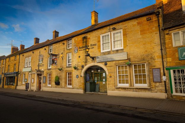
A Brakspear pub with rooms on the High Street in Moreton-in-Marsh, open from 8am, with local produce and ales, a terrace and Sunday roasts.
Dog-friendly
Verified Nov 2026
-
Batsford Arboretum
Parks and gardens · Moreton-in-Marsh
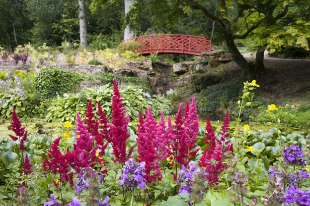
A 60-acre arboretum on the Batsford estate near Moreton-in-Marsh, with a free visitor centre, café and garden centre, open every day and best in spring and autumn.
Dog-friendly · Walker-friendly · Car-free
Verified Oct 2026
-
Old Farm, Dorn
Self-catering · Moreton-in-Marsh
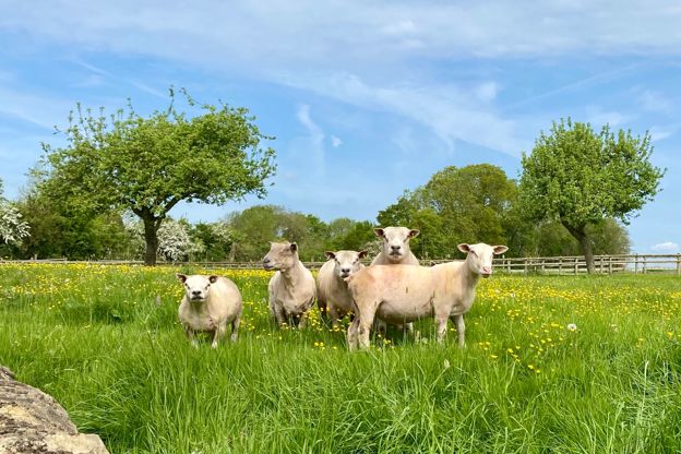
A working regenerative farm at Dorn, about a mile from Moreton-in-Marsh, with a holiday let in its shearing shed, a studio and a ten-pitch campsite.
Verified Oct 2026
-
The White Hart Royal Hotel
Inn · Moreton-in-Marsh
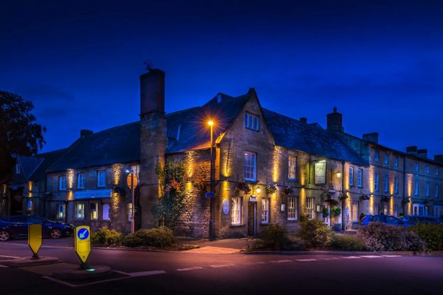
An old coaching inn on Moreton-in-Marsh's High Street, where tradition says Charles I stayed, with a courtyard restaurant and accessible rooms.
Dog-friendly · Car-free · Wedding venues
Verified Oct 2026
-
The Manor House
Hotel · Moreton-in-Marsh
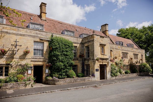
A Grade II listed hotel on Moreton-in-Marsh's High Street with 34 bedrooms, a walled garden and a two-Rosette restaurant, dogs welcome.
Dog-friendly · Car-free · Wedding venues
Verified Nov 2026
-
The Swan Inn, Moreton
Inn · Moreton-in-Marsh
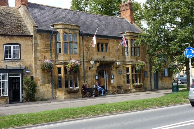
An inn with eight rooms in a Grade II listed nineteenth-century building on Moreton-in-Marsh's High Street, with pub food five days a week.
Verified Oct 2026
Stay near the start
Inns, cottages and hotels within a short drive of where the walk begins, so you can set off early.
Where to stay in Moreton-in-Marsh-
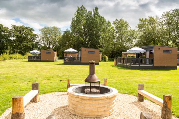
Moreton-in-Marsh Club Campsite
Camping · Moreton-in-Marsh
The Caravan and Motorhome Club's site on Bourton Road, Moreton-in-Marsh, open all year, with 184 touring pitches, ten pods and a dog walk.
Dog-friendly · Family-friendly · Walker-friendly
Verified Nov 2026
-

The Old Stocks Inn
Inn · Stow-on-the-Wold
A seventeenth-century coaching inn on the Square at Stow-on-the-Wold, with 16 rooms and a restaurant with two AA Rosettes.
Dog-friendly
Verified Oct 2026
-
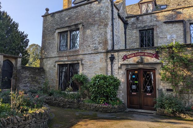
Stow Lodge Hotel
Hotel · Stow-on-the-Wold
A family-run hotel with 20 rooms in Stow's former rectory of 1763 on the Square, with a restaurant, a bar, gardens and a private car park; no pets.
Verified Oct 2026
More like this
Stories on this walk
-
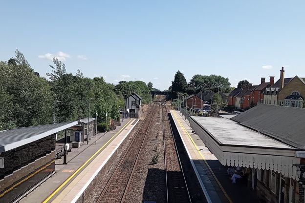
Day trips from London to the Cotswolds
Story · Guides · 10 minute read
How to do the Cotswolds as a day trip from London: by train from Paddington to Moreton-in-Marsh for Stow and Bourton, to Kingham for the Evenlode villages, to Kemble for Cirencester and Bibury or to Bath for Lacock, with worked plans, the car and parking, and tours compared.
-
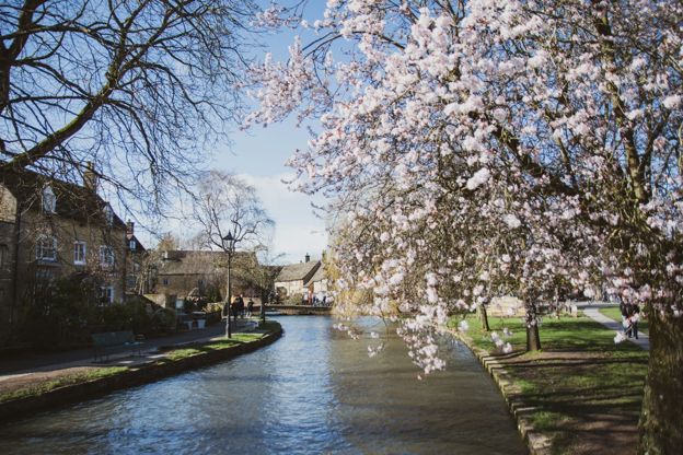
Getting to the Cotswolds without a car
Story · Guides · 12 minute read
You can see the Cotswolds without a car: trains from London Paddington reach Moreton-in-Marsh, Kingham, Charlbury, Kemble and Stroud in 70 to 90 minutes, and buses go on to Stow, Bourton, Bibury and Chipping Campden. Every station, its bus, the fares and the limits.
-
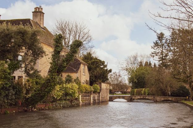
The accessible Cotswolds
Story · Guides · 12 minute read
The honest picture of access in the Cotswolds: which villages are level and which are cobbles and hills, the step-free days out, every Changing Places toilet we can confirm, Blue Badge parking, stile-free walks, accessible stays and getting about by train, bus and taxi.
More walks to try
-
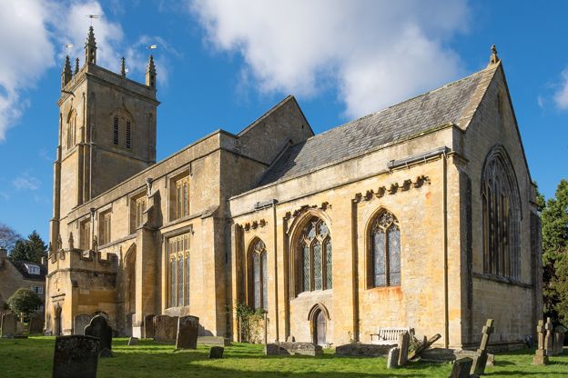
Blockley and Batsford Park
Walk · Starts in Blockley · 2 hrs, 15 mins · Circular · Dog-friendly
A 4.9-mile (7.9km) circular walk from Bell Lane in Blockley, about two and a quarter hours of moderate walking with two climbs and deep mud in winter. It goes up Pasture Lane, down to Batsford's church, through Batsford Park past the arboretum, and back over the hill.
-
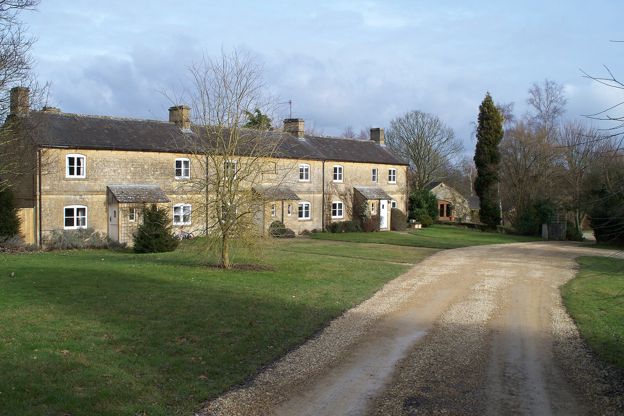
Blockley and Norcombe Wood
Walk · Starts in Blockley · 1 hr, 15 mins · Circular
A 3-mile (5km) circular walk from Park Road at the top of Blockley, about an hour and a quarter, moderate with one longer climb and muddy woods. It goes up beside Northwick Park into Norcombe Wood, then down the brook valley and back through the old silk-mill village.
-
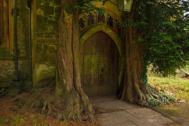
Stow-on-the-Wold and Maugersbury
Walk · Starts in Stow-on-the-Wold · 2 hrs · Circular
A 3.75-mile (5.5km) circular walk without stiles from the Cross in Stow-on-the-Wold, easy with 130m of ups and downs and about two hours: past the Porch House and Maugersbury Manor to the Fosse Way, down to Hyde Mill and back up through white gates by Nether Swell.