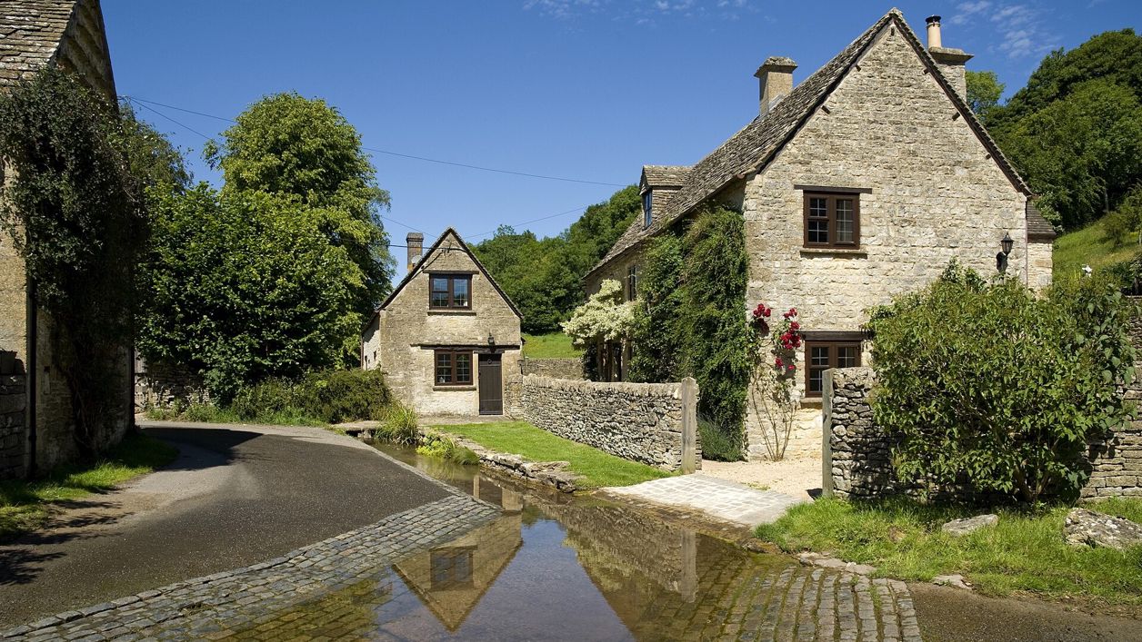
Saffron Blaze, CC BY 3.0, via Wikimedia Commons
The Duntisbournes
Four hamlets along 2 miles of the Dunt, a brook north-west of Cirencester: Duntisbourne Abbots on its hill, Duntisbourne Leer where the lane fords the stream, Middle Duntisbourne and Duntisbourne Rouse, whose tiny church has a crypt and misericords. No pub, no shop, no visitors.
- Nearest station
- Kemble, 12 miles by road; a taxi, or the 882 bus via Cirencester, only one a day each way runs through the hamlets
- Parking
- No car park; a little roadside space by each church, taken with care on single-track lanes
- Best time
- After rain in winter or spring, when the Dunt is running and the ford is a ford
- When it's busy
- Never
- Toilets
- None; the nearest public toilets are in Cirencester, Forum car park (50p)
- Dogs
- On leads: the lanes are shared with farm traffic and the fields have livestock
About the Duntisbournes
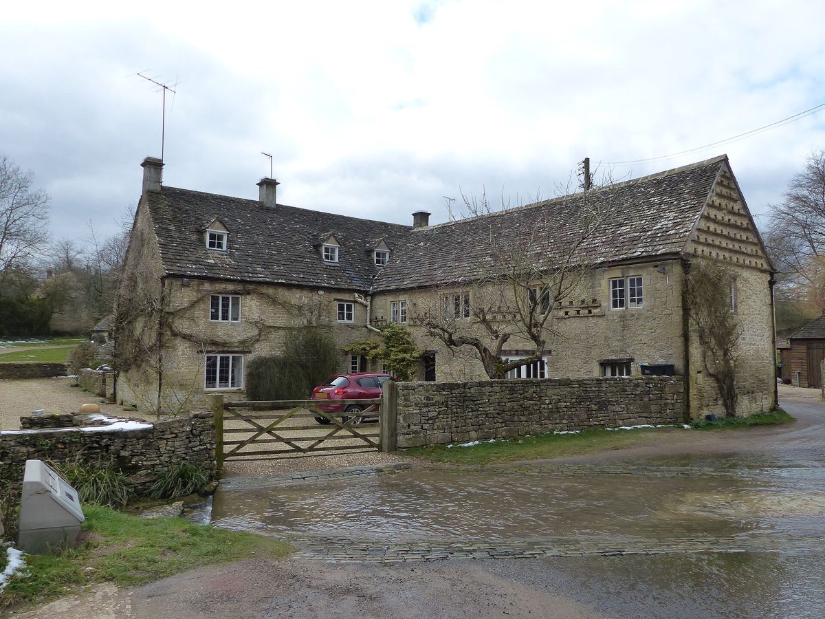
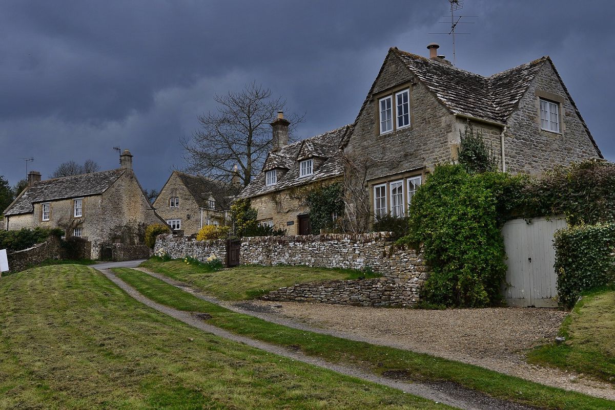
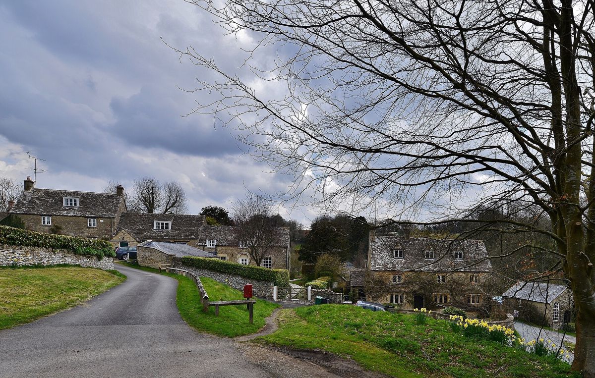
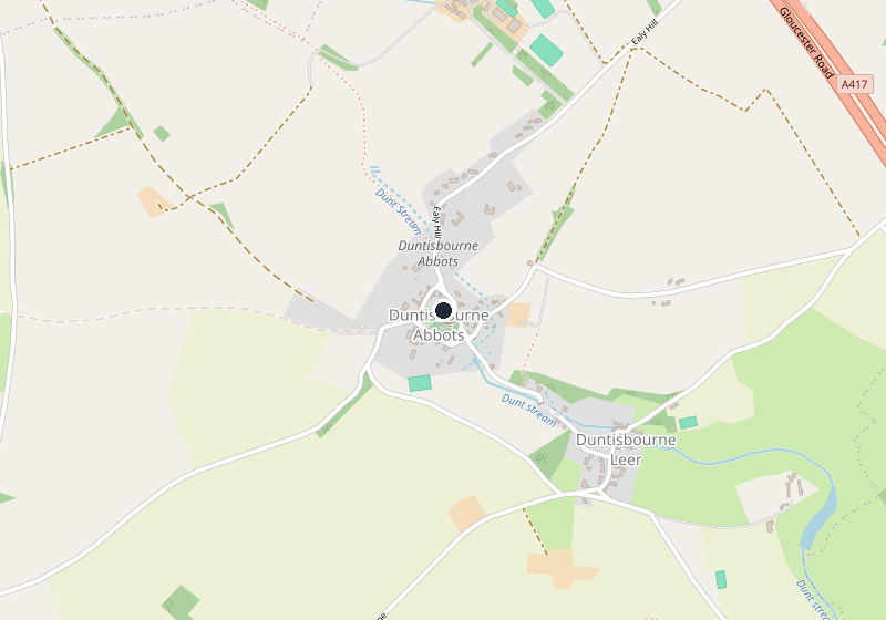
The Duntisbournes are four hamlets strung along the Dunt, a brook in a narrow valley about 5 miles (9km) by road north-west of Cirencester: Duntisbourne Abbots on the hill at the top, Duntisbourne Leer and Middle Duntisbourne by the water, and Duntisbourne Rouse at the bottom. The lanes are single track, the brook crosses them twice, and there is nothing to buy in any of the four. It is the Cotswolds as they were before anyone came to look at them.
What to see
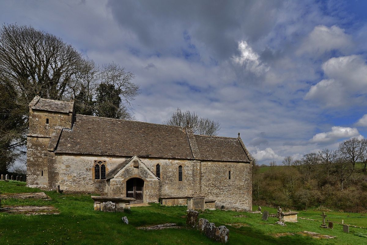
St Michael's at Duntisbourne Rouse (opens in a new tab) is the reason to come. It is a church the size of a cottage on a bank above the lane, with a nave of the late eleventh or early twelfth century built in herringbone courses, a Norman chancel arch of three orders, and a saddleback tower whose inscription names the wardens who built it in 1587. Because of the slope, the chancel stands over a small tunnel-vaulted crypt, reached by a doorway at its west end. Inside are late Norman painting on the north wall, fifteenth-century misericords with grotesque heads and vine leaves in the choir stalls, a Jacobean pulpit and eighteenth-century box pews with their doors. It is Grade I, with a churchyard cross listed beside it.
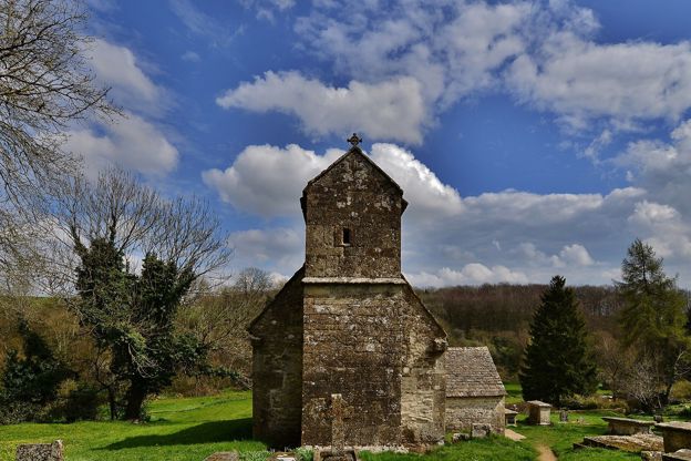
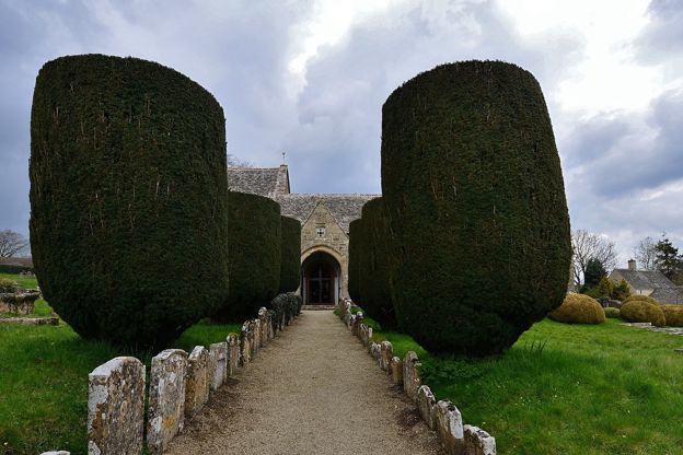
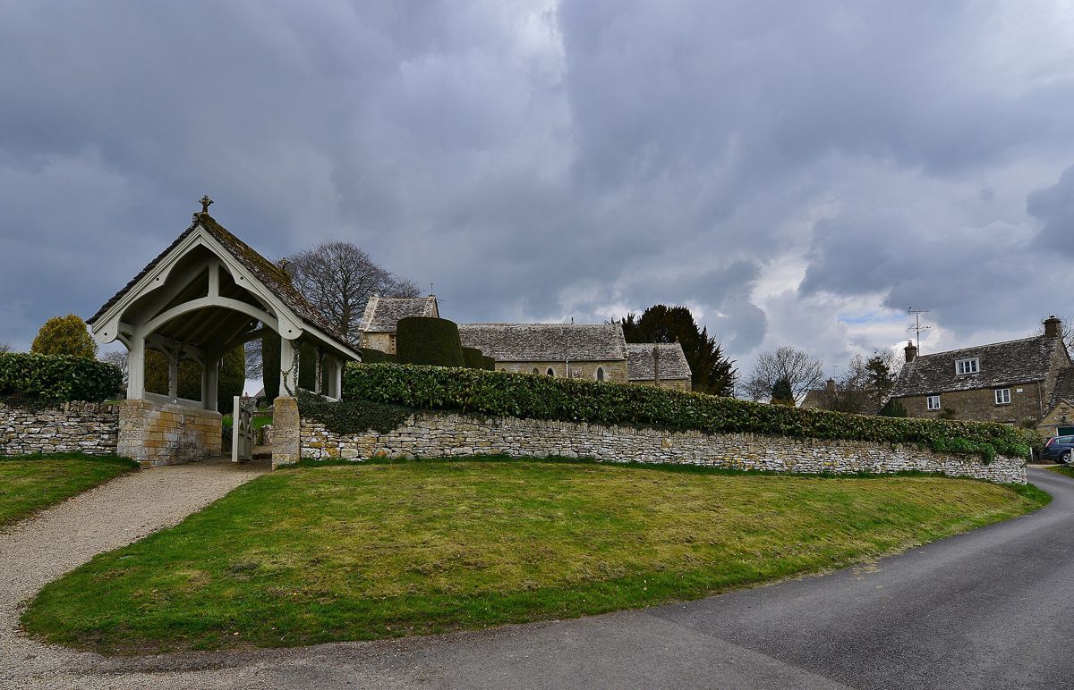
St Peter's at Duntisbourne Abbots (opens in a new tab), 2 miles up the valley, is bigger and plainer: a twelfth-century nave, a thirteenth-century chancel, a fifteenth-century saddleback tower with quatrefoil grilles in its bell openings, and a round Norman font. Waller & Son restored it in 1872 and scraped the interior, which is why it looks so clean; the glass is of 1878. The lych gate to the churchyard is listed on its own, as are several of the monuments in the churchyard and many of the cottages round it.
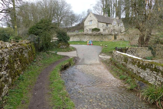
Between the two churches the Dunt is the sight. At Duntisbourne Leer, by the seventeenth-century farmhouse, the lane meets the brook, and for a short stretch the lane and the stream are the same thing; the story goes that this was how carts got their wheels washed. At Middle Duntisbourne there is a second ford with a footbridge (opens in a new tab) of 1844, a single stone arch with a depth gauge in front of it, which tells you how high the water gets.
A morning up the valley
Park near St Michael's at Duntisbourne Rouse, see the crypt and the misericords, then walk up the lane with the brook on your left: Middle Duntisbourne and its footbridge in ten minutes, the ford at Leer in another ten, and the climb to Duntisbourne Abbots and St Peter's at the top, about 2 miles in all. Come back the same way. It is a two-hour morning with no coffee in it, so bring a flask.
Walks
The valley lane is the walk, and we have not yet written it up as a route. The nearer long walks are in Cirencester Park, a few miles south of Duntisbourne Rouse, and on the Cotswold Way above Painswick, 14 miles west by road. Pinbury Park, a listed house in Duntisbourne Rouse parish, is private.

The Cotswolds Info newsletter
Events, new places and the best of the season, about once a month. Unsubscribe at any time.
Food and drink
None in the four hamlets. The Five Mile House on the old Gloucester road at the top of the parish was a pub, but CAMRA records it closed since 2016, with permission granted to turn it into a house, and Google Maps also marks it closed. Cirencester is 12 minutes by car and has the pubs, cafés and the Friday market.
When to come
Winter and spring after rain, when the Dunt is up and the ford and the footbridge make sense; in a dry summer the brook can be a trickle. The churches are open in daylight as far as we know, but a weekday is safer than a Sunday service time. The Duntisbournes are in our guide to the Cotswolds without the crowds because nothing here is built for visitors: no car park, no pub, no signs. Drive slowly, park out of the way of tractors, and leave the ford to the people who use it.
Last verified 1 November 2026 by our editors
Part of
Cirencester and the Coln Valley
Cirencester, the Roman town of Corinium, and the River Coln running past Bibury, Coln St Aldwyns and Fairford to meet the Thames by Lechlade.
Things to do in the Duntisbournes
Parks and gardens · Bisley
Miserden Garden
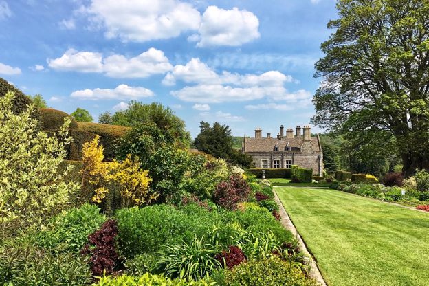
The seventeenth-century garden of Miserden Park, between Stroud and Cirencester, with some of the longest mixed borders in private hands, a yew walk and a loggia by Lutyens. Closed for winter until April 2027.
-
Cerney House Gardens
Parks and gardens · Cirencester
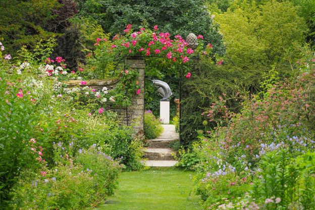
A family garden at North Cerney, near Cirencester: a Victorian walled garden with borders and an organic kitchen garden, 40 acres of woodland walks and a self-service tea room, open almost every day of the year.
Dog-friendly
Verified Nov 2026
-
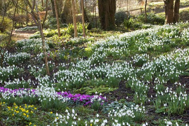
Colesbourne Park
Parks and gardens · Withington
The Elwes family's snowdrop garden on the A435 between Cheltenham and Cirencester, with over 300 varieties round the house and lake, open on eight weekend days in late January and February by advance ticket only.
Dog-friendly
Verified Oct 2026
-
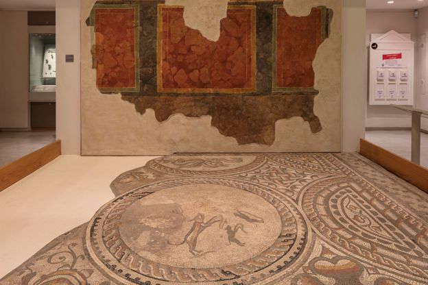
Corinium Museum
Museums and galleries · Cirencester
Cirencester's museum of Roman Corinium, with the Hare, Four Seasons and Orpheus mosaics, Anglo-Saxon grave goods and medieval sculpture.
Family-friendly · Rainy days · Car-free
Verified Oct 2026
Where to stay in the Duntisbournes
-
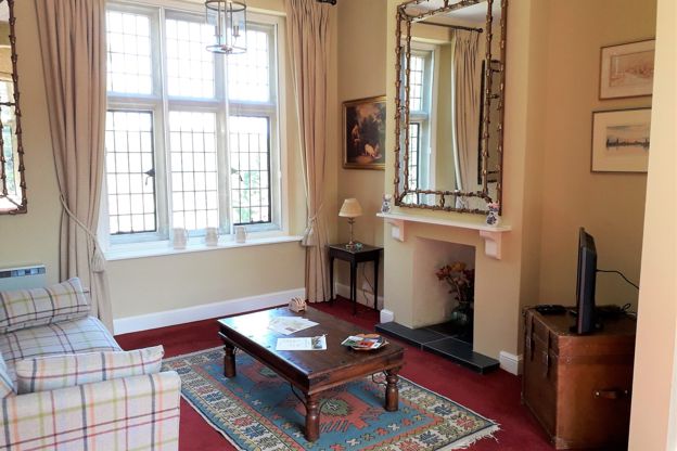
Miserden Estate holiday lets
Self-catering · Miserden
Two holiday lets on the Miserden estate: a one-bedroom flat in the Grade II* house at Miserden Park, with free entry to the garden, and the Old Rectory in the village, sleeping 13.
Walker-friendly
Verified Oct 2026
-
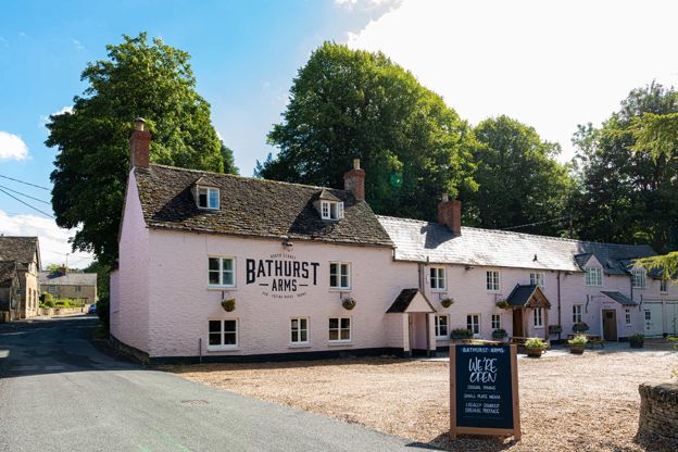
The Bathurst Arms
Inn · Cirencester
A pub with five rooms on the River Churn at North Cerney, about five miles north of Cirencester, with a beer garden, food every day and roasts on Sundays.
Verified Nov 2026
-
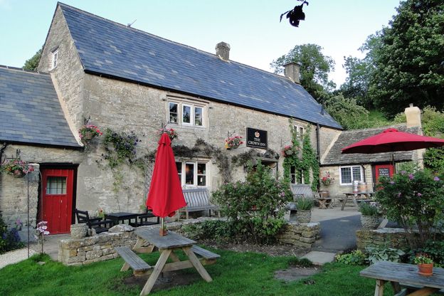
The Crown Inn, Frampton Mansell
Pubs · Sapperton and Frampton Mansell
An old village inn at Frampton Mansell, by its own account a seventeenth-century cider house, with log fires, local ales, a big garden and views over the Golden Valley, open every day.
Dog-friendly · Family-friendly
Verified Nov 2026
Where to eat and drink in the Duntisbournes
-
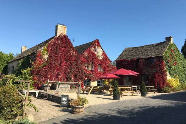
The Bell at Sapperton
Pubs · Sapperton and Frampton Mansell
A village inn at Sapperton, above the Golden Valley, known for its food and its Wine Wall of bottles at shop prices, with rooms, horse parking and dogs welcome.
Dog-friendly · Family-friendly · EV charging
Verified Oct 2026
-
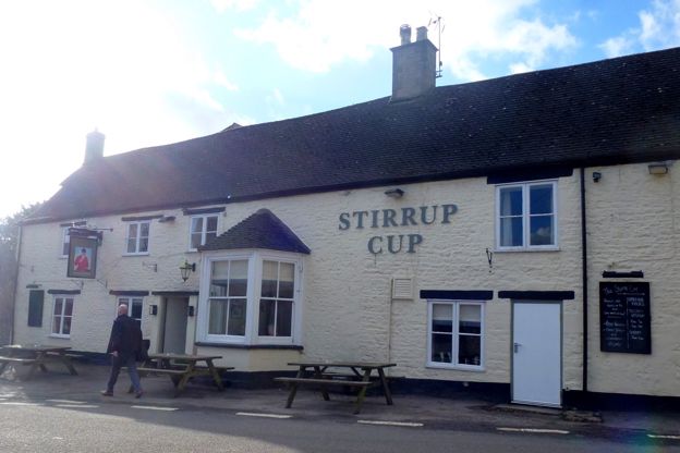
The Stirrup Cup, Bisley
Pubs · Bisley
A village pub on Cheltenham Road, Bisley, the old New Inn, reopened under new hands with a grill menu, Cornish oysters and Sunday roasts; open Wednesday to Sunday.
Verified Nov 2026
-
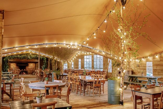
Jolly Nice
Farm shops and delis · Sapperton and Frampton Mansell
A family-run farm shop, café, bar and drive-through in an old filling station on the A419 at Frampton Mansell, open every day but Christmas Day, with produce from more than 70 small local suppliers.
Dog-friendly · Family-friendly
Verified Nov 2026
Walks in and around the Duntisbournes
-
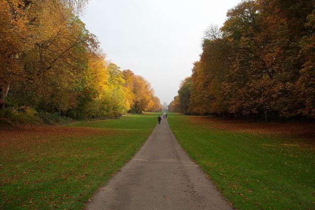
Cirencester Park, Pope's Seat and Stratton
Walk · Starts in Cirencester · 2 hrs · Circular
A 5-mile (8km) circular walk from Cirencester's parish church, easy and taking one and a half to two hours: up Cecily Hill and a mile along the Broad Ride to Pope's Seat, past the polo grounds to Stratton, and back by the streams past the open-air pool.
Getting to the Duntisbournes
- By bus
- Stagecoach West 882 (Gloucester, Cirencester, Kemble), Monday to Saturday. In October 2026 one bus each way ran through the hamlets; a few more stop at the Duntisbourne turn on the A417.
- By train
- Kemble is the nearest station, 12 miles by road. The 882 bus runs from the station to Cirencester in about 25 minutes, but a taxi is simpler for the hamlets.
- By car
- Off the A417 between Cirencester and Birdlip for Duntisbourne Abbots, or by lanes from Daglingworth for Duntisbourne Rouse. The lane between them is single track with fords: no low cars after rain.
Access
Lanes without pavements and a wet ford; St Michael's at Duntisbourne Rouse stands on a bank above the lane, and its crypt is reached down a flight of stone steps
| Duntisbourne Rouse | 1.9 mi |
|---|---|
| Cirencester | 5.6 mi |
| Cheltenham | 11.2 mi |
| Kemble station | 11.8 mi |
| Bibury | 12.4 mi |
| Painswick | 14 mi |
Places near the Duntisbournes
-
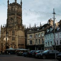 CirencesterThe Roman town of Corinium and the market town of the southern Cotswolds, with a museum of its mosaics, a great wool church, an amphitheatre and Earl Bathurst's park.
-
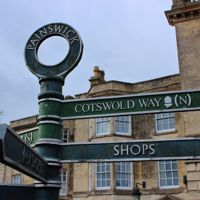 PainswickA former cloth town above the Stroud valleys, with a churchyard of clipped yews and carved tombs, a church clipping every September, and the Rococo Garden.
-
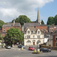 StroudThe cloth town where five valleys meet, with a Saturday farmers' market, a free museum in Stratford Park, a canal coming back to life and Laurie Lee's Slad next door.
-
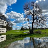 KembleThe village with the station for Cirencester and the south Cotswolds, about a mile and a half from the source of the Thames where the Thames Path begins, with a church spire of 1824, the old RAF airfield and the Thames Head Inn on the A433.