Rwendland, CC BY-SA 3.0, via Wikimedia Commons
Dyrham
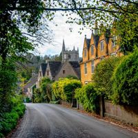
A hamlet under the Cotswold edge north of Bath, at the gates of Dyrham Park, with a Grade I church beside the house, the Cotswold Way through its lane and the battle of 577 somewhere in the fields.
- Nearest station
- Bath Spa, about 8 miles, or Yate, about 7; then a taxi, as no bus runs to Dyrham
- Parking
- No public car park in the hamlet. Dyrham Park's car park is off the A46 (SN14 8HY): £4 a day or £2 for two hours for non-members (2026)
- Best time
- Spring and autumn, for the deer park and the Cotswold Way
- When it's busy
- Dyrham Park at weekends and in the school holidays; a weekday in term time is quietest. The hamlet's lane is quiet at any time.
- Toilets
- None in the hamlet; at Dyrham Park for its visitors
- Dogs
- Only assistance dogs anywhere at Dyrham Park, which is a deer park. On a lead on the Cotswold Way, as the National Trail asks.
About Dyrham
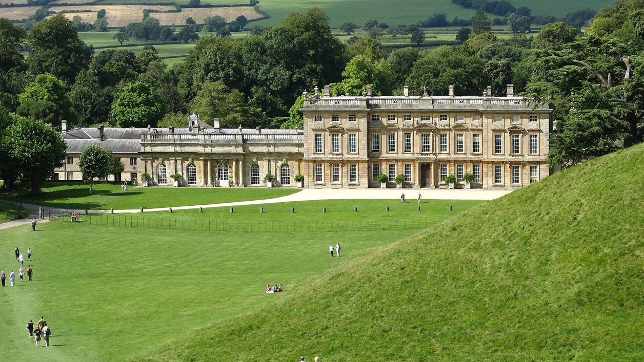
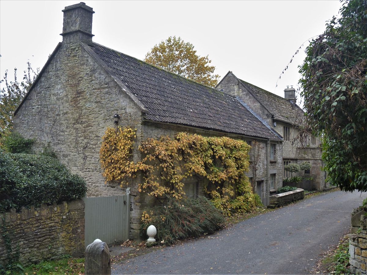
Dyrham is a hamlet of stone houses on a lane below the Cotswold edge, about 8 miles north of Bath and just off the A46. Most people come for Dyrham Park, the National Trust's house and deer park whose wall runs along the hill above, and drive in by the car park on the main road without seeing the hamlet at all. Walkers on the Cotswold Way see it properly, because the path comes down through it.
What to see
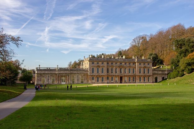
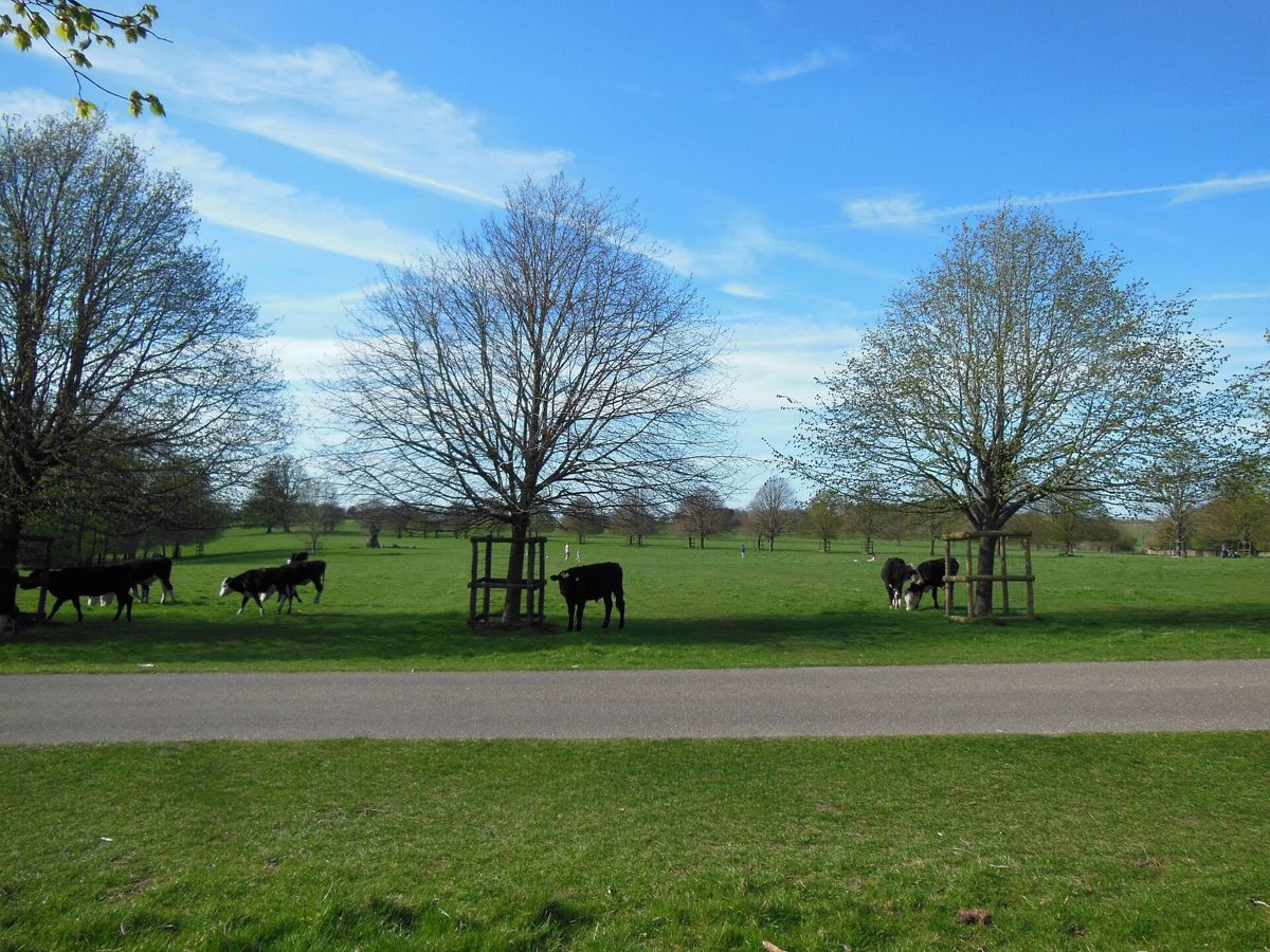
Dyrham Park is the big sight: the house William Blathwayt rebuilt in the 1690s, with a west front begun in 1692 and an east front by William Talman about a decade later, filled with Dutch paintings and Delftware, in 270 acres of steep deer park with views to the Bristol Channel. It opens every day but 24 and 25 December; an adult pays £23, or £25.30 with Gift Aid (prices from 1 March 2026), members and under-5s go free, and there is no need to book. Allow half a day.
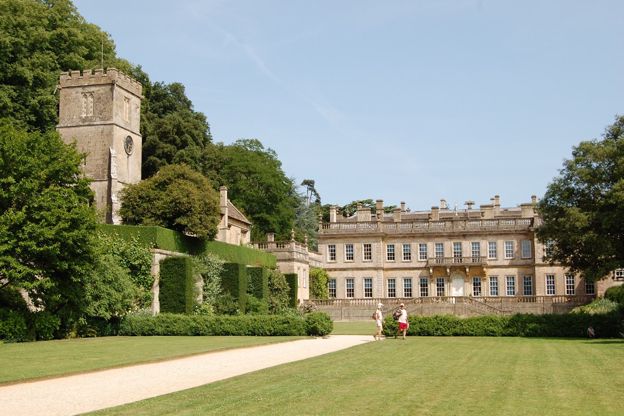
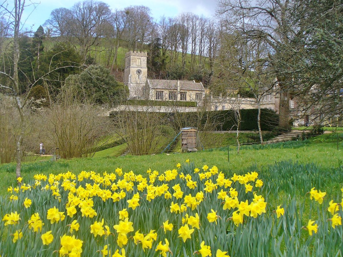
St Peter's church stands beside the house at the foot of the park, and is listed Grade I. It dates from the thirteenth century, and its south aisle was restored after 1688 for Blathwayt when the house was rebuilt. Inside are brasses to Sir Maurice Russell and his wife Isobel, with canopies and Latin verses, a canopied tomb with the effigies of George Wynter, who invested in Drake's voyage round the world, and his wife, and tablets to the Blathwayts. The parish says the church welcomes many of the house's visitors; we have not confirmed its opening hours.
Walks
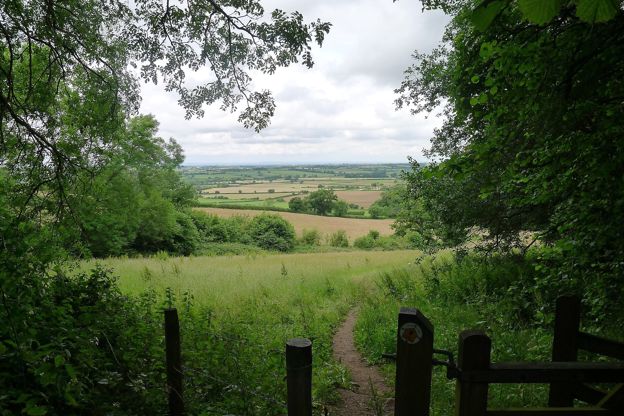
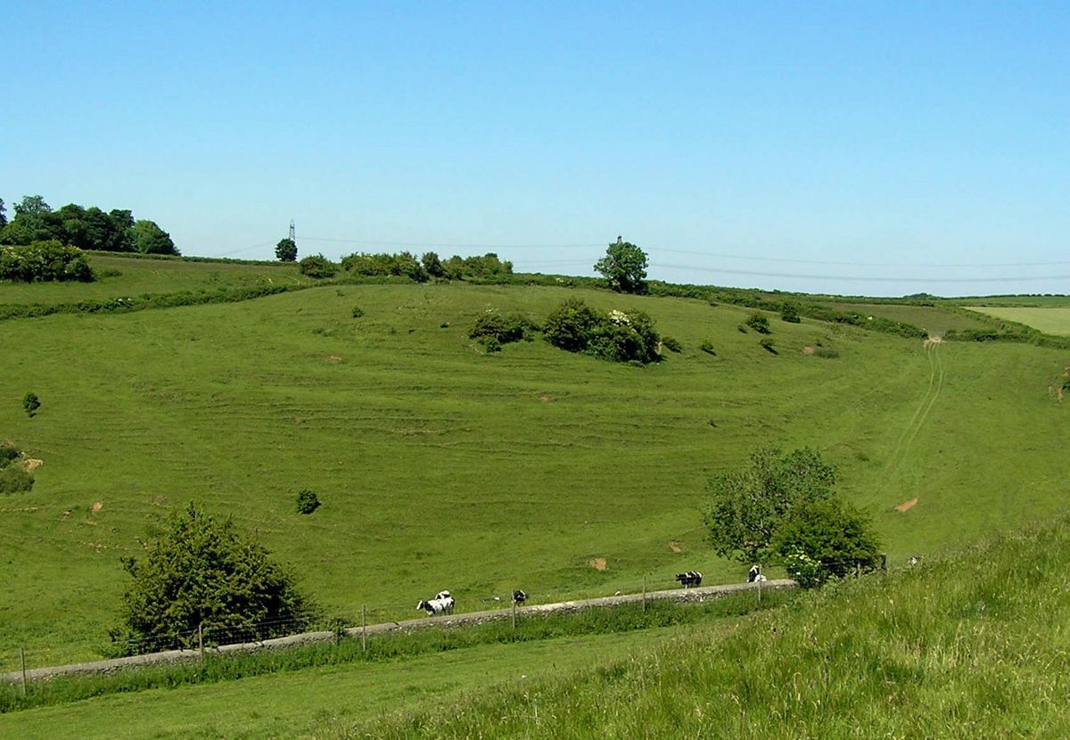
The Cotswold Way is Dyrham's walk. Its section from Tormarton to Cold Ashton, 6.6 miles (10.6km) one way, follows the park wall, drops into the hamlet and climbs through Dyrham Woods beyond; it is moderate, with one stile and two crossings of the fast A46. From Cold Ashton the last section runs on to Bath. Inside the paid entry, the Trust's waymarked Prospect Walk is a 3-mile (4.8km) loop of the deer park, steep and uneven in places, with the Black Mountains in Wales in view on a clear day. Buses at either end of the Tormarton section are few, so check the walk's page for times or plan two cars or a taxi.
Food and drink
We found no pub or shop in the hamlet. Dyrham Park has a tea room by the house, and a café at Old Lodge in the park that opens only at weekends in winter term time. For a meal, the Catherine Wheel in Marshfield, about 6 miles away, is a seventeenth-century coaching inn with rooms.

The Cotswolds Info newsletter
Events, new places and the best of the season, about once a month. Unsubscribe at any time.
When to come
Spring and autumn suit the deer park and the woods; the Cotswold Way through Dyrham Woods can be muddy in winter. Dyrham Park opens all year but 24 and 25 December, with shorter hours from late October: last entry is at 3pm from 25 October until mid-February, and 4pm the rest of the year. For a quieter visit, come on a weekday in term time. Badminton, 8 miles north, fills the lanes for its horse trials in early May (5 to 9 May in 2027, dates the organisers call provisional).
Last verified 28 October 2026 by our editors
Part of
The South Cotswolds
The southern wolds as they fall towards Bath and Wiltshire: Tetbury's Market House, Castle Combe's street by the By Brook, Malmesbury's abbey and Lacock beyond the edge.
Where to stay in Dyrham
-
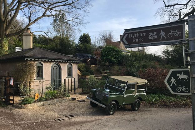
Gatekeepers Lodge
Self-catering · Dyrham
A former toll house on Upper Street, Dyrham, let as a holiday cottage for two, beside Dyrham Park and on the Cotswold Way.
Walker-friendly
Verified Oct 2026
Where to eat and drink in Dyrham
-
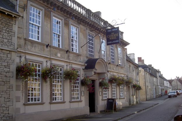
The Catherine Wheel, Marshfield
Pubs · Marshfield
A Grade II* listed seventeenth-century inn on Marshfield's High Street, about 8 miles north of Bath by road, with real ales, three bed and breakfast rooms, a private dining room and dogs welcome in the pub.
Dog-friendly
Verified Oct 2026
Walks in and around Dyrham
-
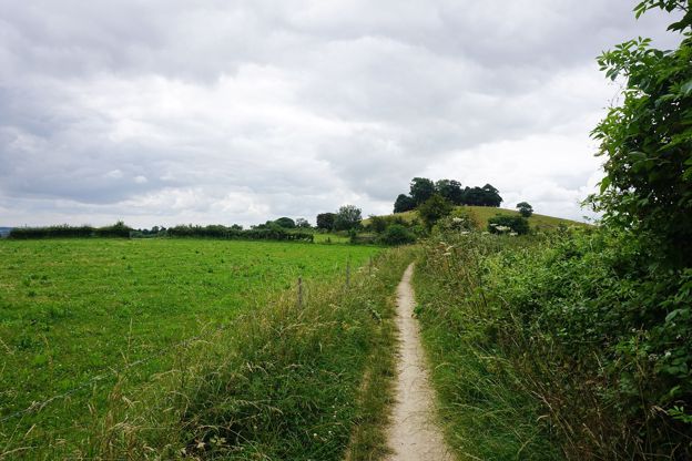
Cotswold Way: Cold Ashton to Bath
Walk · Starts in Marshfield · 6 hrs · Dog-friendly
A 10.2-mile (16.5km) one-way walk on the last section of the Cotswold Way, hard and about six hours: from Cold Ashton down to Lower Hamswell, up to the Lansdown battlefield, along the top past Bath Racecourse, and down through Weston to the stone disc at Bath Abbey.
-
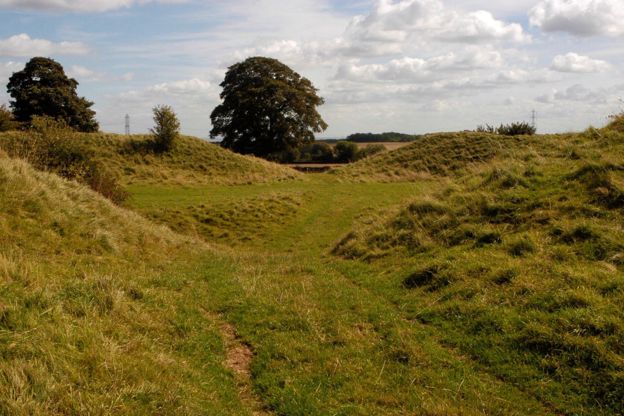
Old Sodbury, the hill fort and the church
Walk · Starts in Chipping Sodbury · 2 hrs · Circular
A 2.5-mile (4km) circular walk from Old Sodbury, easy and stile-free with moderate slopes, in one and a half to two hours: up the Cotswold Way to the Norman church on the hill, over the double ramparts of Sodbury Camp, and back across the fields past medieval fish ponds.
Getting to Dyrham
- By car
- Off the A46 between Bath and the M4: the National Trust puts Dyrham Park 2 miles south of junction 18. Dyrham Park's entrance is on the A46; the hamlet is reached by the lane below it.
- Parking
- No public car park in the hamlet. Dyrham Park's car park (SN14 8HY) is free to National Trust members, £4 a day for others (2026), and closes at 4.30pm in winter.
- By train
- Bath Spa is about 8 miles away and Yate about 7, each 15 to 20 minutes by taxi. No bus runs to Dyrham Park.
Access
Dyrham Park's parkland is steep and uneven; two shuttle vehicles with a ramp or lift run from the car park down to the house, whose ground floor, garden and tea room have level access. The National Trust has 12 Blue Badge spaces.
| Tormarton | 3.7 mi |
|---|---|
| Marshfield | 6.2 mi |
| Chipping Sodbury | 7.5 mi |
| Badminton | 8.1 mi |
| Bath | 8.7 mi |
| Castle Combe | 9.9 mi |
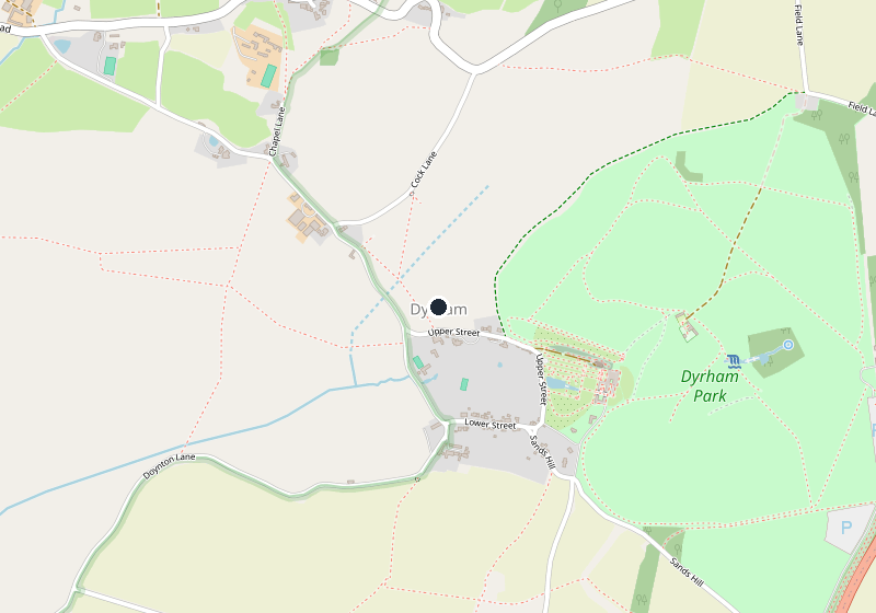
Places near Dyrham
-
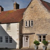 MarshfieldA former malting town at the Cotswolds' southern tip, 9 miles from Bath, one long street of seventeenth- and eighteenth-century fronts, with a Grade I church, almshouses of 1612, a coaching inn of 1680 and the Paper Boys' mummers' play on Boxing Day. Dyrham Park is 6 miles off.
-
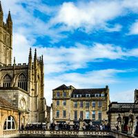 BathThe city where the Cotswold Way ends, at a stone disc outside the abbey door: Bath Spa station, the park and ride on Lansdown, the buses on to Tetbury, and the trains to Chippenham for Castle Combe and Lacock.
-
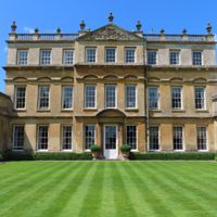 BadmintonThe estate village of the Dukes of Beaufort on the southern edge of the Cotswolds: a private house you glimpse from the park, a Grade I church of ducal monuments, a three-mile avenue to a Kent lodge, three garden days a year and the horse trials each May.
-
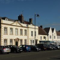 Chipping SodburyA planned medieval market town below the southern Cotswold edge, with a long, wide market street, a Grade I church and a mop fair twice a year, near Bristol.