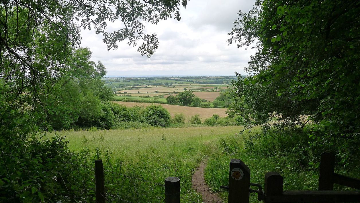
Tim Heaton, CC BY-SA 2.0, via Wikimedia Commons
Cotswold Way: Tormarton to Cold Ashton
A 6.6-mile (10.6km) one-way walk on the fourteenth section of the Cotswold Way, moderate and about three and three quarter hours: from Tormarton over the M4, round the wall of Dyrham Park, through Dyrham village and up through Dyrham Woods to Cold Ashton.
- Distance
- 10.6 km (6.6 mi)
- Difficulty
- Moderate
- Time
- 3 hrs, 45 mins
- Ascent
- 170 m
- Circular
- One way
The route
Starts at St Mary Magdalene's Church, Tormarton follows the Cotswold Way for a while Road walkingLivestock in fieldsDogs on lead near sheepSteep sectionMuddy in winterStiles Download GPX
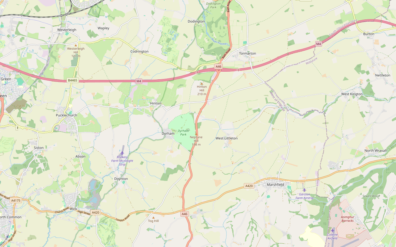
Step by step
-
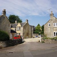
Step 1: Tormarton over the M4
From the church follow Church Road and the High Street through Tormarton past Manor Farm, cross Marshfield Road and walk south along it. The road crosses the M4 on a bridge at about 700m; watch for traffic. Beyond the motorway turn right along Lapdown Lane for about 400m.
-
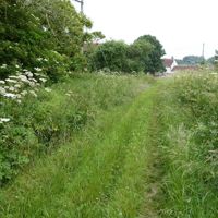
Step 2: Lapdown and Beacon Lane
Where the lane bends, take the bridleway past Lower Lapdown Farm and follow it across the open fields for about 1.1km to Beacon Lane, an old bridleway between hedges. Here the National Trail offers two routes of equal length. The original line runs west along Beacon Lane past Beacon Lane Plantation; the signed diversion goes south down Wallsend Lane and west along Dunsdown Lane to Field Lane. The Trail set up the diversion because the old line is isolated and there were incidents of public indecency there between 2018 and 2023; it knows of none since, though antisocial behaviour continues, and it leaves the choice to you. On the diversion, at Field Lane cross the A46 with great care, a fast, busy main road. The Trail calls this a difficult crossing where you may wait a few minutes for a gap in the traffic. The line on our map follows the original route along Beacon Lane and the park wall.
- Muddy in winter
-
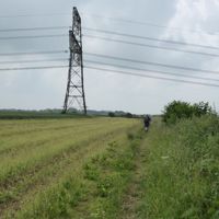
Step 3: Round the wall of Dyrham Park
The diversion leaves out this stretch of the original line, which the Trail's map shows joining Field Lane from the north. On the original line, beyond the A46 follow the old Bath Road, a lane and then a bridleway, for about 200m, then take the bridleway south-west beside the boundary wall of Dyrham Park. Keep to it for about 1.6km through the fields, go through the gate at the end and cross the road at about 4.7km.
- Dogs on lead
-
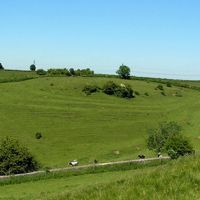
Step 4: Field Lane and down into Dyrham
Where the diversion meets Field Lane by Badminton Plantation, go through the gate on to the bridleway (on the original line, Field Lane runs about 350m to it). Follow it along the top past Hinton Hill, then down the slope, steep in places, through two gates to Upper Street in Dyrham. Walk down through the village and along Sands Hill for about 400m.
- Steep section
-
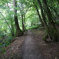
Step 5: Up through Dyrham Woods
Leave Sands Hill on the footpath that climbs through Dyrham Woods. It runs for about 2km and climbs about 90m, the steepest part near the top, and can be muddy after rain. Go through the kissing gate to Gorse Lane, cross it, and go through the two kissing gates beyond.
- Steep section
- Muddy in winter
-
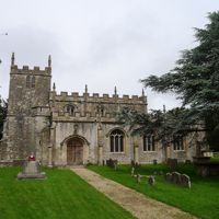
Step 6: Pennsylvania to Cold Ashton
Follow the bridleway for about 500m and the track to the hamlet of Pennsylvania. Cross the A46 with great care and go over the stile. Follow the field paths for about 600m to the A420 at The Folly, and walk beside it for about 100m. Go through the kissing gate on the left and follow the footpath across the fields, through two more kissing gates, past the war memorial to Hyde's Lane in Cold Ashton, where the section ends.
- Stiles
The walk in detail
The Cotswold Way from Tormarton to Cold Ashton is a one-way walk of 6.6 miles (10.6km) from St Mary Magdalene's Church in Tormarton over the M4, round the wall of Dyrham Park, through Dyrham and up through Dyrham Woods to Cold Ashton. It is moderate, climbs about 170m by the National Trail's figure and takes about three and three quarter hours. There is no pub or café at either end, so carry food.
It is the fourteenth of the fifteen sections of the Cotswold Way, in the South Cotswolds, and the National Trail's 6.6 miles matches our line. It crosses over the M4 and twice crosses the A46. It follows Hawkesbury Upton to Tormarton, and from Cold Ashton the last section runs on to Bath Abbey.
What the walk is like
The first half is open, rolling arable land on the top of the wolds, mostly on bridleways and an old green lane, Beacon Lane. The second half is the best of it: the long wall of Dyrham Park, the drop into Dyrham village, and the climb through the woods on the far side of the valley. There is only one stile on the line as mapped, by the A46 at Pennsylvania, and many gates and kissing gates.
Road crossings need care. Marshfield Road carries traffic to and from the M4 bridge, the A46 is a fast trunk road at both crossings, and at The Folly you walk about 100m beside the A420. By Beacon Lane Plantation the National Trail offers its original line or a diversion of equal length by Wallsend Lane and Dunsdown Lane, which crosses the A46 at Field Lane. The diversion avoids an isolated stretch where there were incidents of public indecency; the Trail warns that its A46 crossing is difficult and may be best avoided by large groups, and asks you to weigh both before choosing.
Dyrham Park and Dyrham
Dyrham Park is the National Trust's William and Mary house in an old deer park, and the trail follows its boundary wall for about 1.5km before dropping into the village below the house. William Blathwayt rebuilt it from 1692, with a west front by Samuel Hauduroy finished by 1694 and an east front by William Talman by 1703; the house is listed Grade I. It opens through the winter: from late October to mid-February the park and garden open from 10am to 4pm and the house from 11am to 3pm, with last entry at 3pm, and an adult pays £25.30 with Gift Aid (prices from 1 March 2026). Because it is a deer park, only assistance dogs are allowed inside, so walkers with dogs stay on the trail.
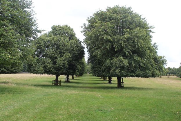
Cold Ashton
Cold Ashton is a small village on the top of the wolds at the junction of the A46 and the A420, where the section ends. The White Hart there is a seventeenth-century inn listed Grade II, but CAMRA records it as closed since 2008 and converted to offices, so do not plan on a drink. Marshfield, about 2 miles east and on the 35 bus, has the Catherine Wheel, a seventeenth-century pub that was a coaching inn by 1740, with rooms and dogs welcome in the pub, and is the nearest place for food. Badminton, the Duke of Beaufort's estate village, is about 3 miles north-east of Tormarton.

The Cotswolds Info newsletter
Events, new places and the best of the season, about once a month. Unsubscribe at any time.
Getting back to the start
Plan this one before you set out, because the two ends have no useful bus link. The Coachstyle 41 serves Tormarton three or four times a day and the Faresaver 35 runs from Cold Ashton to Wick and Kingswood on the edge of Bristol, both Monday to Saturday only, and neither connects with the other in a sensible time. Two cars or a taxi is the realistic answer, or walk it as part of a longer day from Old Sodbury, where the Stagecoach 620 runs to Bath.
Where to eat and sleep
There is nowhere to buy food on the line, so carry it. Tormarton's pub, the Major's Retreat, has been closed since January 2022; CAMRA still listed it as closed long term in April 2025. For a bed, look in Marshfield or Chipping Sodbury, or walk on to Bath the next day.
When to go
Late spring and summer, when the bridleways across the open fields are dry; in winter expect mud on the bridleways and the path through Dyrham Woods. The woods are at their best in autumn colour in October.
Places on the way
-
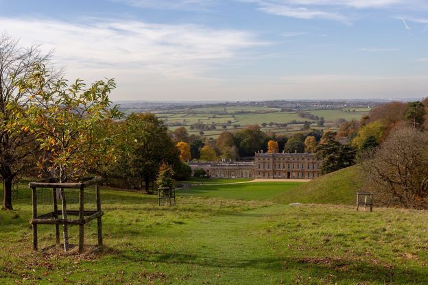
Dyrham Park
Historic houses and heritage · Marshfield
William Blathwayt's baroque house of the 1690s below the Cotswold edge north of Bath, with a 270-acre deer park, a West Garden and Delftware, cared for by the National Trust and open through the winter as well as the summer.
Family-friendly
Verified Oct 2026
-
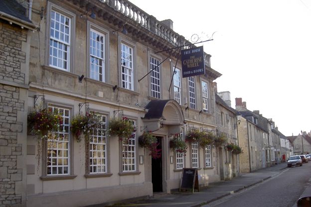
The Catherine Wheel, Marshfield
Pubs · Marshfield
A Grade II* listed seventeenth-century inn on Marshfield's High Street, about 8 miles north of Bath by road, with real ales, three bed and breakfast rooms, a private dining room and dogs welcome in the pub.
Dog-friendly
Verified Oct 2026
Stay near the start
Inns, cottages and hotels within a short drive of where the walk begins, so you can set off early.
Where to stay in the South Cotswolds-
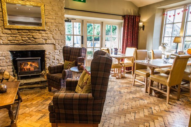
The Bell at Old Sodbury
Inn · Chipping Sodbury
A family-run 18th-century pub with four B&B rooms on Badminton Road, Old Sodbury, near Chipping Sodbury, on the edge of the Cotswold Way.
Dog-friendly · Family-friendly
Verified Nov 2026
-
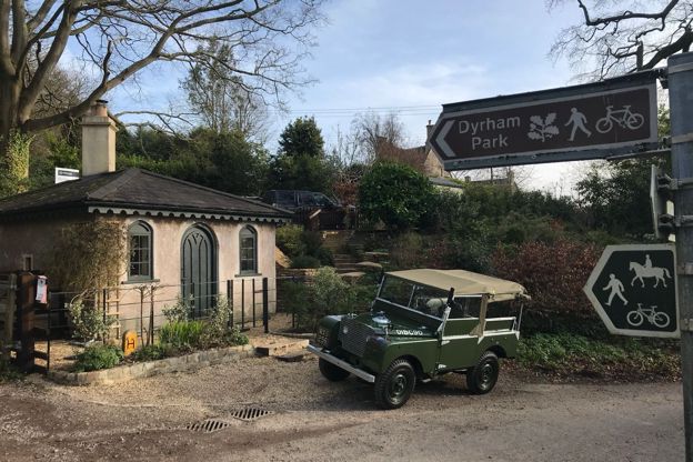
Gatekeepers Lodge
Self-catering · Dyrham
A former toll house on Upper Street, Dyrham, let as a holiday cottage for two, beside Dyrham Park and on the Cotswold Way.
Walker-friendly
Verified Oct 2026
-
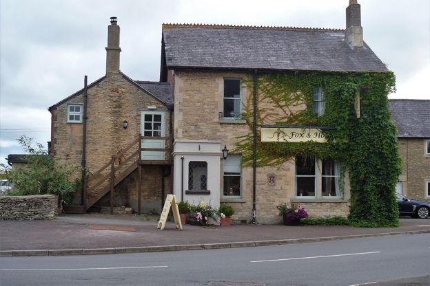
The Fox and Hounds, Acton Turville
Pubs · Badminton
A former coaching house at Acton Turville, the next village south of Badminton, open every day from 8am with breakfast, lunch and evening food, a courtyard garden, four rooms and dogs welcome.
Dog-friendly
Verified Oct 2026
More like this
More walks to try
-
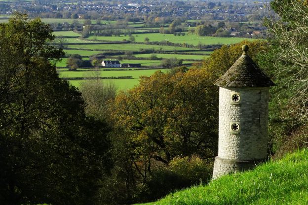
Cotswold Way: Hawkesbury Upton to Tormarton
Walk · Starts in the South Cotswolds · 4 hrs, 15 mins · Dog-friendly
A 7.2-mile (11.6km) one-way walk on the thirteenth section of the Cotswold Way, moderate and about four and a quarter hours: from Hawkesbury Upton down Bath Lane, over two Iron Age hill forts, through Old Sodbury and across Dodington Park to Tormarton.
-
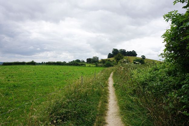
Cotswold Way: Cold Ashton to Bath
Walk · Starts in Marshfield · 6 hrs · Dog-friendly
A 10.2-mile (16.5km) one-way walk on the last section of the Cotswold Way, hard and about six hours: from Cold Ashton down to Lower Hamswell, up to the Lansdown battlefield, along the top past Bath Racecourse, and down through Weston to the stone disc at Bath Abbey.
-

The Cotswold Way
Walk · Dog-friendly
The Cotswold Way is a 102-mile (164km) National Trail walk from Chipping Campden to Bath along the escarpment, in 15 sections; the official guidebook suggests seven to ten days, and its frequent steep climbs make it hard going.