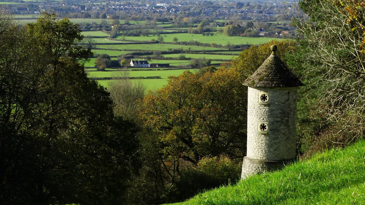
Colin Park, CC BY-SA 2.0, via Wikimedia Commons
Cotswold Way: Hawkesbury Upton to Tormarton
A 7.2-mile (11.6km) one-way walk on the thirteenth section of the Cotswold Way, moderate and about four and a quarter hours: from Hawkesbury Upton down Bath Lane, over two Iron Age hill forts, through Old Sodbury and across Dodington Park to Tormarton.
- Distance
- 11.6 km (7.2 mi)
- Difficulty
- Moderate
- Time
- 4 hrs, 15 mins
- Ascent
- 198 m
- Circular
- One way
The route
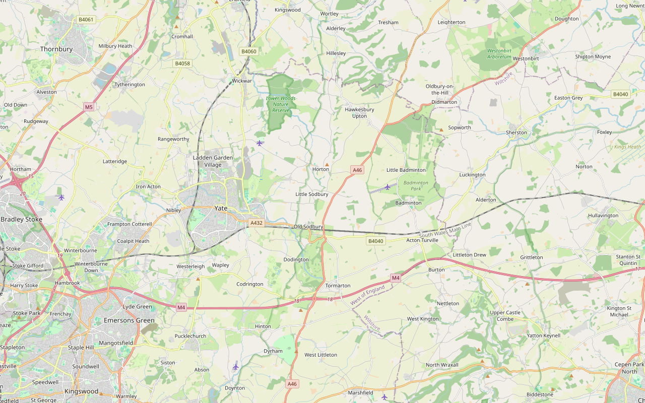
Starts at Bath Lane, Hawkesbury Upton follows the Cotswold Way for a while Livestock in fieldsDogs on lead near sheepStilesRoad walkingMuddy in winter Download GPX
Step by step
-
Step 1: Bath Lane south
Follow Bath Lane, a bridleway track between hedges, south from Hawkesbury Upton for about 1.2km. Where it ends keep straight on along the footpath, cross Highfield Lane at about 1.4km, and follow the field path on south.
- Muddy in winter
-
Step 2: By Walk Wood to Horton Camp
Follow the footpath along the edge of the escarpment by Walk Wood, with Horton Court below to the right, and go through a gate on to Horton Camp. Cross the hill fort past its rampart and its highest point, then go through two gates and down the field path to the lane at about 3.7km.
- Dogs on lead
-
Step 3: Horton to Little Sodbury
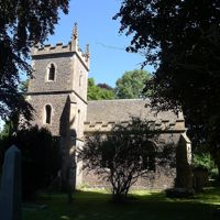
Cross the lane, go over the stile and through the gate, and walk a few metres along Horton Hill past the primary school. Take the footpath south across the fields past Windenhill Farm, over a stile and the streams, to the lanes at Little Sodbury. Walk through the village past St Adeline's Church, through a kissing gate, and along the lane to Portway Lane at about 5.5km.
- Stiles
-
Step 4: Sodbury Camp and down to Old Sodbury
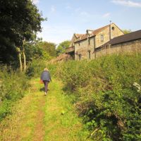
Cross Portway Lane and go through two gates on to the bridleway past Cross Hands Farm, then through the kissing gate on to Sodbury Camp. Cross the double ramparts of the hill fort, go through the kissing gates at the far side and down through Little Sodbury Wood. Follow the footpath down through kissing gates and a gate past the school, cross Church Lane and walk through the churchyard of St John the Baptist.
Go through the kissing gate by the bench and down the fields through three gates to The Green. Cross the A432, a busy main road, with care by the Dog Inn.
- Dogs on lead
-
Step 5: Old Sodbury to Dodington Park
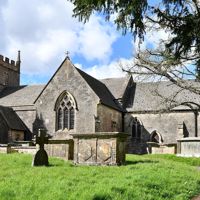
Follow Chapel Lane south over the railway, with the field path beside it through two kissing gates, for about 1km to a gate and Catchpot Lane. Walk along the lane to Coomb's End, go through the gate and the kissing gates, and over the cattle grid into Dodington Park. Follow the footpath south-east across the park for about 1.3km, past Frenchpiece Wood and Well Clump, and through the gates over the River Frome.
- Dogs on lead
-
Step 6: Across the A46 to Tormarton
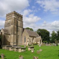
At the edge of the park cross the stile and cross the A46 with great care: it is a fast, busy main road. Over the stile opposite, follow the footpath across Acton Turville Road, over a stile to Old Hundred Lane and another stile, then through three kissing gates to a lane. Cross the field paths over two stiles and through a gate to Church Road by St Mary Magdalene's Church in Tormarton, where the section ends.
- Stiles
Sights on the way
The sights this walk passes, numbered as on the map.
-
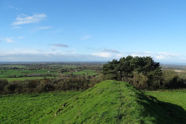
Horton Camp hill fort
Sight · Hill fort or barrow · Chipping Sodbury
A small Iron Age hill fort on a spur of the Cotswold edge above Horton, north of Old Sodbury: one rampart 3m high on the plateau side and steep natural slopes on the rest, never excavated. A scheduled monument beside the Cotswold Way.
-
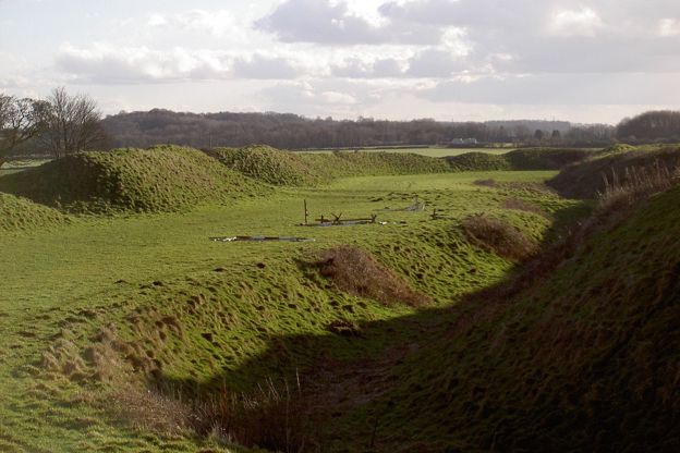
Sodbury Camp hill fort
Sight · Hill fort or barrow · Chipping Sodbury
An Iron Age hill fort with two wide-spaced ramparts on the Cotswold edge above Old Sodbury, where Edward IV camped on his way to the battle of Tewkesbury in 1471. A scheduled monument, crossed by the Cotswold Way and our stile-free circuit from the village.
-
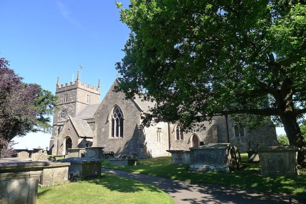
St John the Baptist, Old Sodbury
Sight · Church · Chipping Sodbury
Old Sodbury's hilltop church of Norman origin, on the Cotswold Way above the village, with a fifteenth-century tower and two rare knights' effigies: one carved in wood in the fourteenth century, one in stone about 1240. Grade II*.
The walk in detail
The Cotswold Way from Hawkesbury Upton to Tormarton is a one-way walk of 7.2 miles (11.6km) down Bath Lane, over the hill forts of Horton Camp and Sodbury Camp, through Old Sodbury and across Dodington Park to the church in Tormarton. It is moderate, with about 200m of climbing in short pulls, and takes about four and a quarter hours. The Dog Inn at Old Sodbury is on the way.
It is the thirteenth of the fifteen sections of the Cotswold Way, in the South Cotswolds. The National Trail gives it as 7.7 miles (12.4km); the line we follow is about 0.8km shorter because it starts on Bath Lane, beyond the village pond, where the previous section's line ends.
What the walk is like
It is one of the gentler southern sections: the edge here is lower, and most of the walking is on tracks, field paths and quiet lanes along the top of the escarpment and down its foot. The climbs are short, on to Horton Camp, up from Little Sodbury to Sodbury Camp, and into Dodington Park. There are about eight stiles, six of them in the last 1km before Tormarton, and two busy roads to cross: the A432 at Old Sodbury and the A46 just before Tormarton.
Horton Camp and Horton Court
Horton Camp is a small hill fort on a spur of the edge, scheduled by Historic England as a promontory fort, with a single rampart on the plateau side and steep natural slopes on the others. The Atlas of Hillforts of Britain and Ireland gives the rampart as about 3m high and records no known excavation. Horton Court, below it to the west, is the building the National Trail calls probably the oldest vicarage in England; Historic England dates its north wing to about 1140 and the rest of the house to about 1521. The National Trust now lets it as a holiday cottage and opened it on Heritage Open Days in September 2025, so do not expect to go in.
Sodbury Camp and Old Sodbury
Sodbury Camp is bigger, scheduled as a large hill fort with more than one rampart, and the trail crosses its double ramparts. The Cotswolds National Landscape's walk leaflet says it sheltered Edward IV before the battle of Tewkesbury. Below it, St John the Baptist at Old Sodbury is of Norman origin with a fifteenth-century tower and two medieval knights' effigies, one in wood and one in stone, and listed Grade II*: Historic England dates the stone knight to about 1240 and the wooden one to the fourteenth century. There is a bench by the churchyard for the view, and the walk leaflet records the path down to the village as an old coffin trail.
Our stile-free loop from Old Sodbury climbs this same stretch of the trail to the church and the fort and comes back across the fields, 2.5 miles in all. Chipping Sodbury, the market town, is about a mile and a half west.
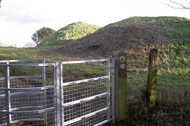
Dodington Park and Tormarton
From Old Sodbury the trail crosses the railway and the fields to Dodington Park, which the National Trail describes as Capability Brown parkland. The house, by James Wyatt and built between 1796 and 1816 for Christopher Bethell Codrington, is listed Grade I and private; the trail crosses the park on a public footpath, so keep to it and to the gates. Tormarton is a small village round St Mary Magdalene's Church on the far side of the A46.

The Cotswolds Info newsletter
Events, new places and the best of the season, about once a month. Unsubscribe at any time.
Where to eat and sleep
The Dog Inn, by the A432 at Old Sodbury, is the pub on the route, in a building listed Grade II. CAMRA's listing, last updated in August 2025, has it open daily from 11am (noon on Sundays), serving lunch and evening meals, with rooms, and dog friendly; we could not confirm its kitchen hours with the pub, so ring ahead (01454 312006) if you are counting on food.The Bell at Old Sodbury, about 1km off the trail on Badminton Road, is a pub with bed and breakfast rooms. Its own site gives food Tuesday to Thursday noon to 2pm and 5.30pm to 8.30pm, Friday and Saturday 9am to 9pm and Sunday 9am to 8pm, and it is closed on Mondays. Tormarton's pub, the Major's Retreat, is shown by CAMRA as closed long term, so there is nothing to eat at the end; the Squire Inn in Chipping Sodbury is about 10 minutes away on the 41.
Getting back to the start
Take the Coachstyle 41 from Tormarton to Chipping Sodbury, about 10 minutes, then the Eurocoaches Y8 from the clock tower to Hawkesbury Upton, about 25 minutes. Both run Monday to Saturday only, and the 41 leaves Tormarton for Chipping Sodbury just three times a day; in the autumn 2026 timetable the last is at 2.30pm, so on a weekday you need an early start. One way is to leave the car in Chipping Sodbury, take an early Y8 out to Hawkesbury Upton (7.23am from the clock tower when we checked) and walk to catch the 41 back. The Stagecoach 620 from Bath also stops at Old Sodbury, which splits the walk.
When to go
Late spring and summer, when the hill forts are dry and the views west are long. Expect mud on the field paths round Horton and in Dodington Park in winter.
Places on the way
-
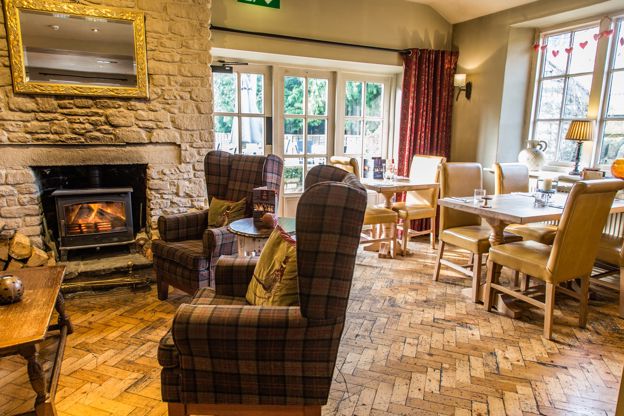
The Bell at Old Sodbury
Inn · Chipping Sodbury
A family-run 18th-century pub with four B&B rooms on Badminton Road, Old Sodbury, near Chipping Sodbury, on the edge of the Cotswold Way.
Dog-friendly · Family-friendly
Verified Nov 2026
-
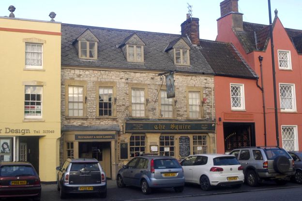
The Squire
Pubs · Chipping Sodbury
The Squire Inn, home of the Sodbury Steakhouse, a pub on Broad Street, Chipping Sodbury, serving food every day from midday.
Verified Nov 2026
Stay near the start
Inns, cottages and hotels within a short drive of where the walk begins, so you can set off early.
Where to stay in the South Cotswolds-
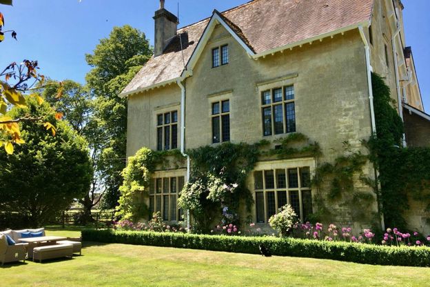
Parsonage House
B&B · Badminton
A bed and breakfast in Badminton's Edwardian former vicarage on Hayes Lane, with three king-size rooms over the garden and a continental breakfast.
Verified Nov 2026
-
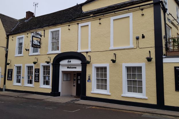
The Swan Hotel
Hotel · Wotton-under-Edge
A Grade II listed coaching inn on Market Street in the middle of Wotton-under-Edge, with 18 en-suite rooms, a restaurant and bar, and dogs welcome.
Dog-friendly · Walker-friendly
Verified Nov 2026
-
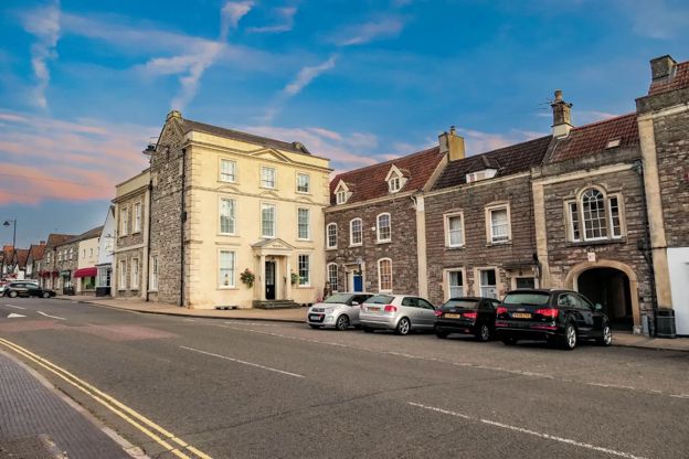
The Moda House
B&B · Chipping Sodbury
A bed and breakfast in a Grade II* listed house of the late seventeenth century that closes the top of Chipping Sodbury's High Street, with eight en-suite rooms and breakfast cooked on the Aga.
Verified Oct 2026
More like this
More walks to try
-
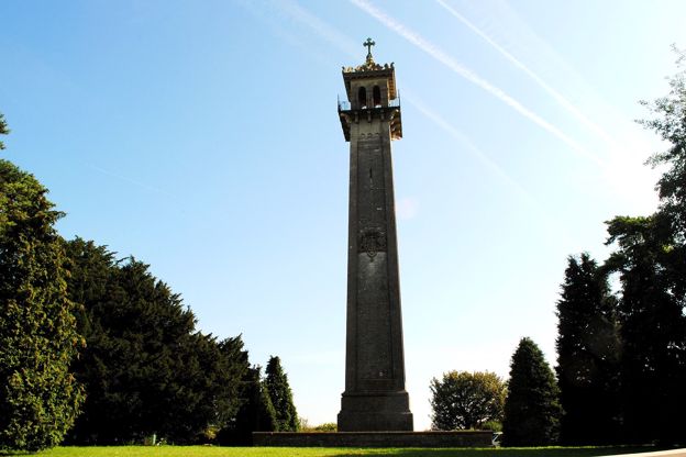
Cotswold Way: Wotton-under-Edge to Hawkesbury Upton
Walk · Starts in Wotton-under-Edge · 4 hrs, 45 mins · Dog-friendly
A 7.8-mile (12.6km) one-way walk on the twelfth section of the Cotswold Way, moderate and about four and three quarter hours: from Wotton-under-Edge up past Newark Park, along Wortley Hill, through Alderley and Lower Kilcott to the Somerset Monument and Hawkesbury Upton.
-
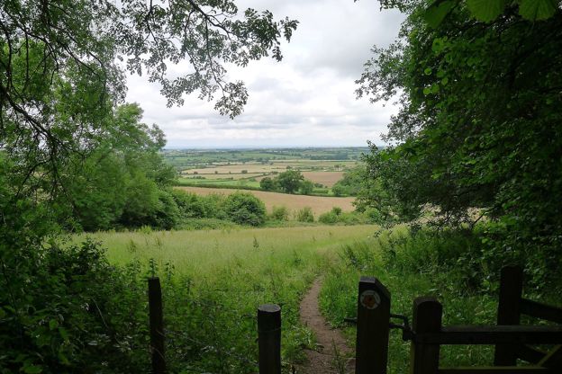
Cotswold Way: Tormarton to Cold Ashton
Walk · Starts in the South Cotswolds · 3 hrs, 45 mins · Dog-friendly
A 6.6-mile (10.6km) one-way walk on the fourteenth section of the Cotswold Way, moderate and about three and three quarter hours: from Tormarton over the M4, round the wall of Dyrham Park, through Dyrham village and up through Dyrham Woods to Cold Ashton.
-
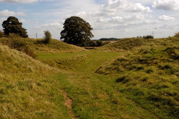
Old Sodbury, the hill fort and the church
Walk · Starts in Chipping Sodbury · 2 hrs · Circular
A 2.5-mile (4km) circular walk from Old Sodbury, easy and stile-free with moderate slopes, in one and a half to two hours: up the Cotswold Way to the Norman church on the hill, over the double ramparts of Sodbury Camp, and back across the fields past medieval fish ponds.