Colin Park, CC BY-SA 2.0, via Wikimedia Commons
Horton Camp hill fort
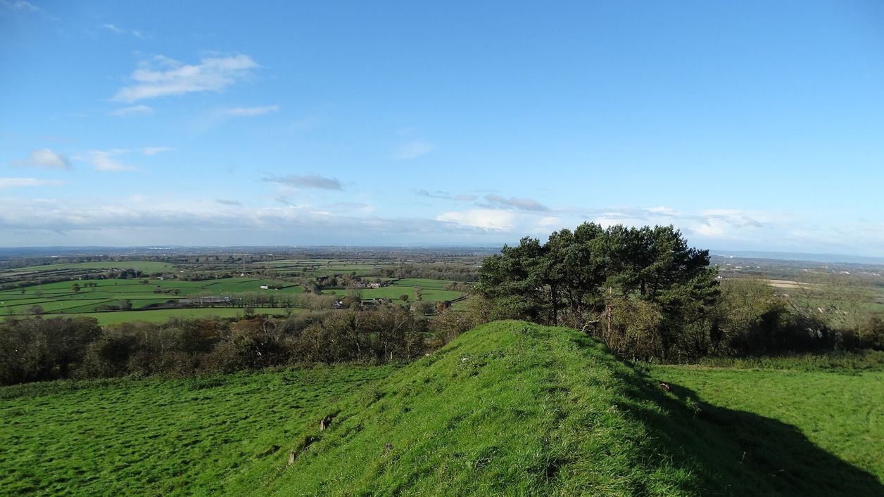
A small Iron Age hill fort on a spur of the Cotswold edge above Horton, north of Old Sodbury: one rampart 3m high on the plateau side and steep natural slopes on the rest, never excavated. A scheduled monument beside the Cotswold Way.
Hill fort or barrow
Chipping SodburyHorton Camp is a small Iron Age hill fort on a spur of the Cotswold escarpment, about half a mile east of the village of Horton and a mile north of Sodbury Camp. It lies about 3 miles north-east of Chipping Sodbury, at about 205m, and the Cotswold Way passes it. It is a scheduled monument.
History
Horton Camp is a single-rampart fort of the Iron Age that has never been excavated, so its story has to be read from its earthworks. The Atlas of Hillforts records a geophysical survey for the National Trust in 1998 that helped trace the line of its buried ditch. It encloses just under 2 hectares, less than half the size of Sodbury Camp to the south. The antiquary Samuel Rudder, writing his history of Gloucestershire in 1779, called it The Castles.
Later farming has left its mark. The slopes below the fort carry strip lynchets, the terraces left by later ploughing, and they have partly wiped out a sunken way that may have led to a second entrance. The outer ditch survives only as a band of dark, stoneless soil about 8m wide.
What to look for
The defences are strongest where the fort meets the level plateau. The Royal Commission's survey of 1976 describes:
- A rampart about 12m wide and 3m high along the north and east sides
- Fire-reddened limestone showing in the face of the rampart
- The probable main entrance at the south-east corner, from the plateau
- A slight bank, about 30m long, on the scarp edge west of that corner
- A second way in, about 90m to the west, that came up from lower ground, perhaps along the sunken way
Elsewhere the steep natural slopes of the spur did the work, and from the edge you look west over Horton and the low country towards the Severn.
Visiting
Horton Camp is free and open at all times, on farmland; the Cotswold Way climbs onto the fort, and the National Trail notes the wide views over the Severn Vale from it. Keep to the paths, close gates, and leave the earthworks as you find them: as a scheduled monument the fort is protected by law. The ground is steep, and muddy after rain.
Getting there
There is no car park at the fort. Walkers come up the public footpath from Horton village, or along the Cotswold Way. On foot, the Cotswold Way passes the hill fort above Horton on its section from Hawkesbury Upton to Tormarton, going on south past Sodbury Camp and down into Old Sodbury. The Stagecoach 620 bus between Bath and Tetbury stops in Old Sodbury, about 3km south.
Nearby
Sodbury Camp, the larger double-ramparted fort, is the next one south along the edge, and St John the Baptist's Church, Old Sodbury is below it, at the end of our Old Sodbury walk. For food, the Bell at Old Sodbury is a pub with rooms, and the Squire is in Chipping Sodbury, where the parish church is St John the Baptist's.
Walks past Horton Camp hill fort
-
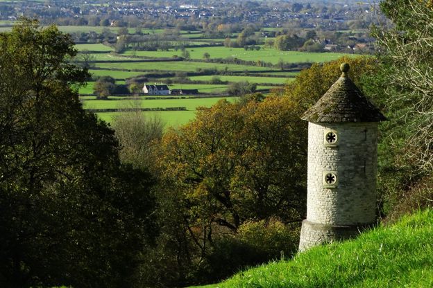
Cotswold Way: Hawkesbury Upton to Tormarton
Walk · Starts in the South Cotswolds · 4 hrs, 15 mins · Dog-friendly
A 7.2-mile (11.6km) one-way walk on the thirteenth section of the Cotswold Way, moderate and about four and a quarter hours: from Hawkesbury Upton down Bath Lane, over two Iron Age hill forts, through Old Sodbury and across Dodington Park to Tormarton.
Stay and eat near Horton Camp hill fort
-
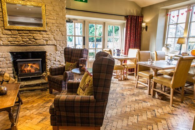
The Bell at Old Sodbury
Inn · Chipping Sodbury
A family-run 18th-century pub with four B&B rooms on Badminton Road, Old Sodbury, near Chipping Sodbury, on the edge of the Cotswold Way.
Dog-friendly · Family-friendly
Verified Nov 2026
-
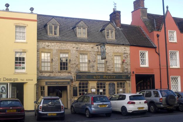
The Squire
Pubs · Chipping Sodbury
The Squire Inn, home of the Sodbury Steakhouse, a pub on Broad Street, Chipping Sodbury, serving food every day from midday.
Verified Nov 2026
-
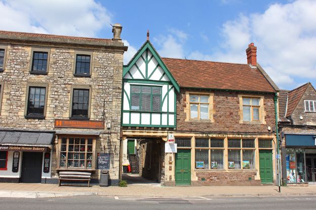
Hobbs House Bakery, Chipping Sodbury
Farm shops and delis · Chipping Sodbury
The Chipping Sodbury shop of Hobbs House, the fifth-generation family bakery whose story runs through the town, on the High Street, selling bread, cakes and Extract coffee from Monday to Saturday.
Verified Oct 2026
More sights to see
-
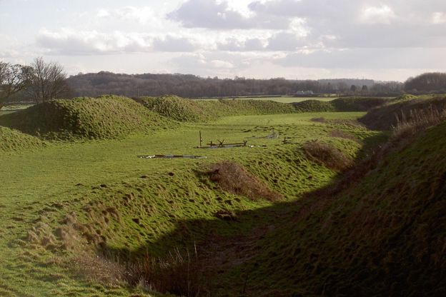
Sodbury Camp hill fort
Sight · Hill fort or barrow · Chipping Sodbury
An Iron Age hill fort with two wide-spaced ramparts on the Cotswold edge above Old Sodbury, where Edward IV camped on his way to the battle of Tewkesbury in 1471. A scheduled monument, crossed by the Cotswold Way and our stile-free circuit from the village.
-
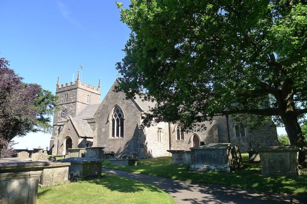
St John the Baptist, Old Sodbury
Sight · Church · Chipping Sodbury
Old Sodbury's hilltop church of Norman origin, on the Cotswold Way above the village, with a fifteenth-century tower and two rare knights' effigies: one carved in wood in the fourteenth century, one in stone about 1240. Grade II*.
-
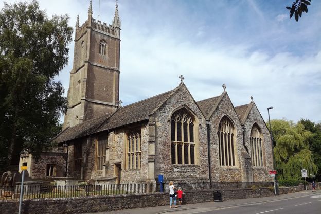
St John the Baptist, Chipping Sodbury
Sight · Church · Chipping Sodbury
Chipping Sodbury's Grade I parish church off Wickwar Road, dedicated in 1284 and rebuilt larger in the fifteenth century, with a tower over 30m tall holding eight bells, a fan-vaulted pulpit built into the arcade, St Katherine's chapel and a thirteenth-century font.