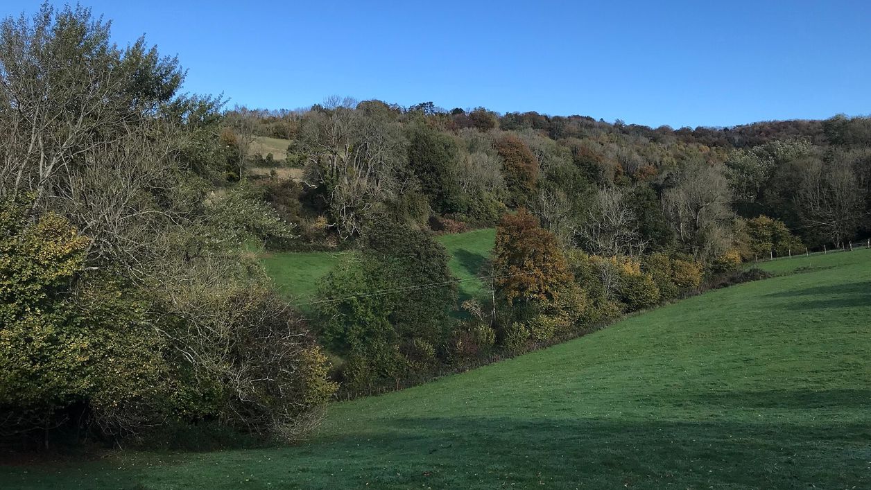
don cload, CC BY-SA 2.0, via Wikimedia Commons
Slad
The village Laurie Lee wrote about in Cider with Rosie, 2 miles up the valley from Stroud: his grave by the church, the Woolpack across the road, and four wildlife reserves on the slopes around it.
- Nearest station
- Stroud, about 2 miles; the 65A (Saturdays) and 228 (Thursdays) stop at the Woolpack once or twice a day
- Parking
- No public car park: limited street parking outside the Woolpack, as the church asks; a few disabled spaces up its drive; free layby at Bulls Cross
- Best time
- Late April and May for Frith Wood's bluebells; June for Swift's Hill orchids
- Toilets
- None public; the Woolpack's are for its customers and church visitors, and are not accessible
- Dogs
- Welcome at the Woolpack, which calls itself a tiny, dog-friendly pub; on a lead on Swift's Hill, in Frith Wood and at Snows Farm, where cattle and ponies graze
About Slad
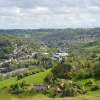
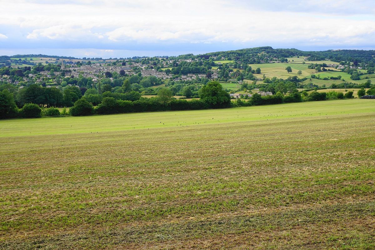
Slad is a scatter of stone houses along the B4070 in the valley Laurie Lee wrote about in Cider with Rosie, 2 miles (3km) north-east of Stroud. The church, the Woolpack and Lee's grave sit together on a bend of the road, and the rest is steep pasture, beech hangers and the Slad Brook in the bottom. There is no public car park, which is part of why it still looks like the book.
What to see
Holy Trinity is the small church built in 1831 to the designs of Charles Baker of Painswick and opened in 1834 as a chapel of ease to Painswick; Benjamin Bucknall reconstructed it in 1869, adding a north aisle and porch. A small stone spirelet sits on the nave gable. Laurie Lee is buried in its churchyard, and the church asks visitors to read both sides of his headstone. The grave lies opposite a memorial window installed by his family and supporters, and inside there is a permanent display on his life. The church is open in daylight hours.
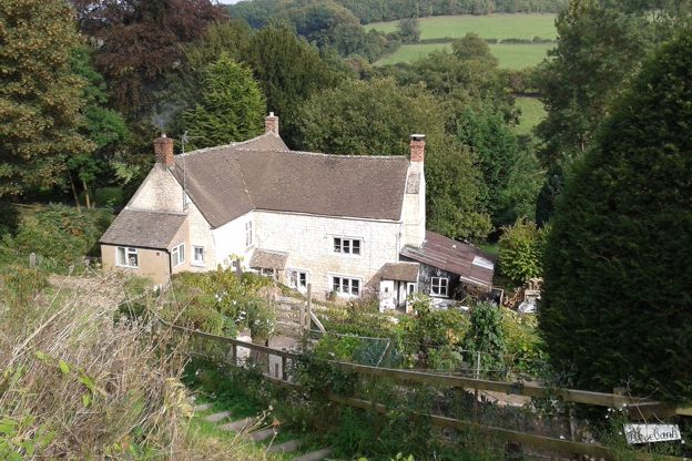
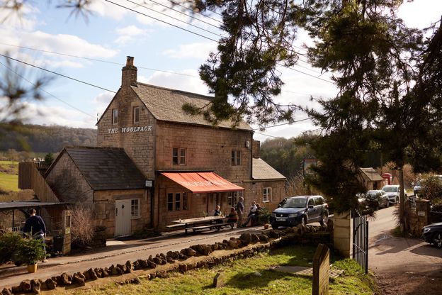
The Woolpack stands across the road. The Victoria County History records that it was built in the 1830s, at about the same time as the church and the school. CAMRA describes it as Laurie Lee's local, where he was a regular and helped save the pub from closure, and the pub itself says he spoke of it with great affection, and keeps a cabinet of his books in its dining room. Up the road is Rose Bank, a cottage with an early eighteenth-century front, listed Grade II; its list entry records Laurie Lee still living there in 1984. It is a private house, so look from the road.
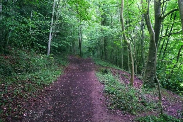
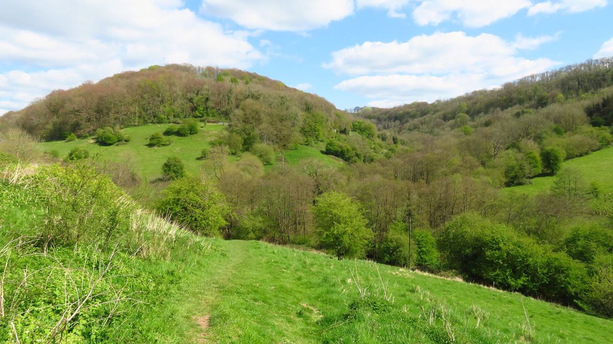
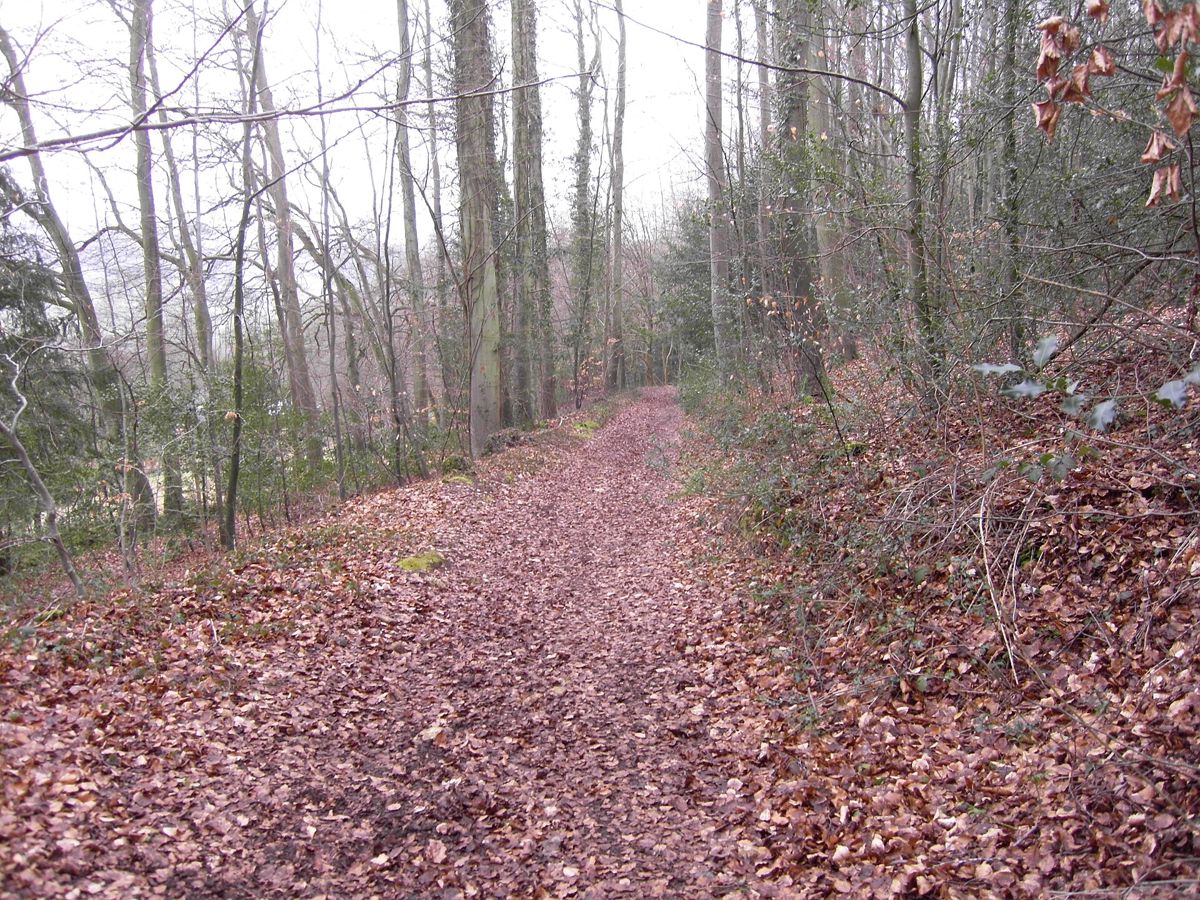
Much of the land around the village is Gloucestershire Wildlife Trust reserve. Swift's Hill, across the valley, is 10 hectares of steep limestone grassland with 13 kinds of orchid, and it appears in the book. Frith Wood is the beech wood on the ridge towards Painswick, recorded as woodland for more than a thousand years. Snows Farm is 21 hectares of old grassland and wood at the head of the valley, where more than 300 kinds of plant have been found. The fourth, Laurie Lee Wood on Knapp Lane at Elcombe, is 3 hectares of ancient woodland that belonged to the Lee family; the Trust bought it in 2013 after a public appeal and keeps it open all year, with dogs on a lead.
A morning here
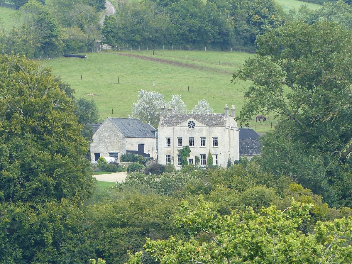
Park on the road by the Woolpack and start in the churchyard, then go inside for the display and the village guidebook, which is on sale and covers the walks. From the church, the narrow lane drops into the village and climbs the far side to the end of Steanbridge Lane for Snows Farm, where a public footpath crosses a stile in front of the farmhouse and drops to the Dillay Brook. Steanbridge itself, the crossing of the Slad Brook, is recorded in 1353.
Come back for lunch at the Woolpack. The dining room serves from midday to 2.30pm from Tuesday to Saturday and until 3.30pm on Sundays; on Mondays only the bar is open. The B4070 is the Stroud to Birdlip road and carries through traffic, so walk its verges with care.
Walks
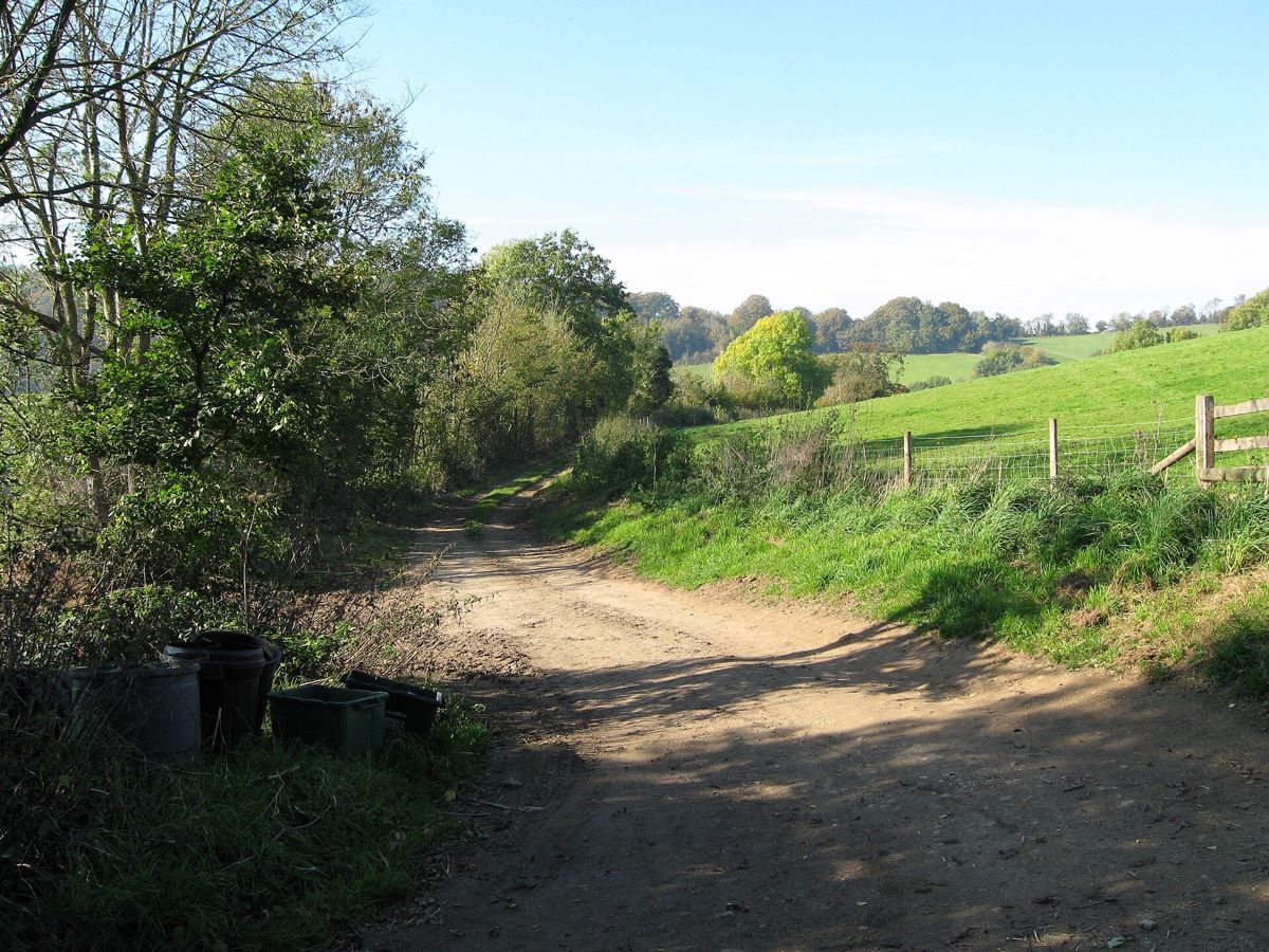
The Laurie Lee Wildlife Way is the walk to do here: a 5-mile (8.4km) circuit of the valley from the Bulls Cross layby, created by the Wildlife Trust in 2013, with ten wooden posts carrying Lee's poems. It climbs about 330m in all and the Trust suggests three to five hours with stops. It crosses the B4070 at the north end of the village by the war memorial, 400m from the pub, and returns through Frith Wood; the Trust names the climb of about 100m up from the Slad Brook as the hardest part. Walkers on AllTrails found the paths muddy and slippery in the winter of 2025 to 2026 and met rare-breed cattle on the slopes in May 2026, and the Trust warns that ash dieback has forced a diversion early on, so follow the signs on the ground.
Over the ridge to the west, the walk from Painswick to Painswick Beacon climbs to an Iron Age hillfort, and the Cotswold Way passes through Painswick itself. Frith Wood is on our list of bluebell woods.

The Cotswolds Info newsletter
Events, new places and the best of the season, about once a month. Unsubscribe at any time.
Food and drink
The Woolpack is the only place to eat or drink in Slad. It describes itself as a tiny, dog-friendly pub, with a fireside bar, a dining room, a snug and vine-covered terraces, serving real ales, craft beer and cider. CAMRA lists Stroud Brewery's Budding and two beers from Uley Brewery, Bitter and Pigs Ear, among its regular ales. The bar opens daily from midday; the dining room serves lunch and dinner from Tuesday to Sunday and takes bookings online. Our guide to Cotswold pubs and their breweries has more on Uley.
Over the hill in Sheepscombe, the Butchers Arms is a free house where Lee also drank, about 2 miles by road, and Painswick has the cafés.
When to come
Spring and early summer are the valley's seasons: bluebells and wild garlic in Frith Wood from late April, and orchids on Swift's Hill, where the Trust lists 13 species including bee and frog orchids and gives April to August as the best time. The Wildlife Trust grazes cattle on the hill from April to October, so keep dogs on a lead. October brings the beech colour and the fungi. In winter the paths are slippery, and after rain the climb out of the valley is hard work.
The Woolpack fills at weekends, so book the dining room for Sunday lunch. The village itself has no events of its own that we have confirmed; the Painswick clipping on the third Sunday of September is about 2 miles away.
Last verified 1 November 2026 by our editors
Part of
Stroud and the Five Valleys
The steep valleys that meet at Stroud: old cloth-mill country, with Painswick's churchyard of yews, Nailsworth's mills and the commons above Minchinhampton.
Things to do in Slad
Museums and galleries · Stroud
Museum in the Park
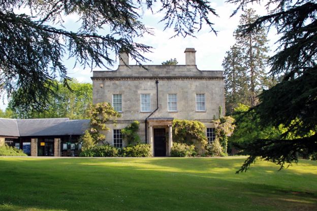
Stroud's free museum in a seventeenth-century house in Stratford Park, with a walled garden and a café, closed on Mondays and for a few weeks in winter.
-
Cotswold Canals Trust boat trips, Stroud
Tours and experiences · Stroud
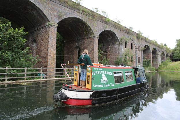
Volunteer-crewed trips on the restored Thames and Severn Canal from Wallbridge in Stroud, run by the Cotswold Canals Trust, including a lunch cruise to Stroud Brewery.
Family-friendly
Verified Nov 2026
-
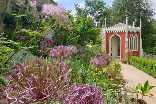
Painswick Rococo Garden
Parks and gardens · Painswick
An eighteenth-century pleasure garden restored from a painting of 1748, with snowdrops in late winter, a café and dogs welcome on short leads.
Dog-friendly · Family-friendly · Car-free
Verified Oct 2026
-
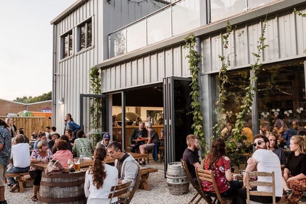
Stroud Brewery
Breweries and distilleries · Stroud
An organic brewery and taproom beside the Thames and Severn Canal at Thrupp, Stroud, founded in 2006, with wood-fired pizza, monthly brewery tours and tasting sessions.
Dog-friendly · Family-friendly
Verified Nov 2026
Where to stay in Slad
-
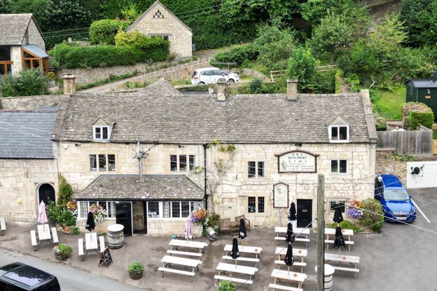
Shepherd Huts at the Butchers Arms
Glamping · Painswick
Two shepherd huts beside the Butchers Arms at Sheepscombe, about two miles by road from Painswick, each with a king-size bed, shower room and kitchen.
Dog-friendly · Walker-friendly · EV charging
Verified Nov 2026
Where to eat and drink in Slad
-
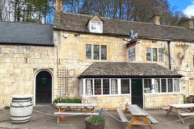
The Butchers Arms
Pubs · Painswick
A free house in the Sheepscombe valley, about two miles by road from Painswick, in Laurie Lee country, with dogs on a lead welcome in the garden and bar.
Dog-friendly · Walker-friendly · EV charging
Verified Oct 2026
Walks in and around Slad
-
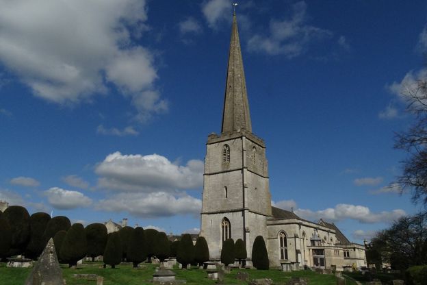
Painswick and Painswick Beacon
Walk · Starts in Painswick · 2 hrs, 45 mins · Circular · Dog-friendly
A 5-mile (8.2km) circular walk from Painswick, moderate and two and a half to three hours, with 250m of climbing: out by Butt Green and the Holcombe farms, over the B4073 and up to the Iron Age ramparts on Painswick Beacon, then down past the golf course and the Rococo Garden.
-
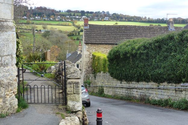
The Painswick Stream
Walk · Starts in Painswick · 1 hr, 30 mins · Circular
A 3-mile (4.6km) circular walk from Painswick, moderate, with stiles and one steep climb, in one to one and a half hours: through the churchyard and down Vicarage Street to the Painswick Stream, along it past five old mills, and back up Knapp Lane to the stocks.
Sights in and around Slad
-
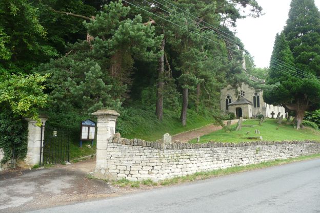
Holy Trinity Church, Slad
Sight · Church · Stroud and the Five Valleys
Holy Trinity is Slad's small village church, built in 1831 to designs by Charles Baker of Painswick and reconstructed by Benjamin Bucknall in 1869, with a stone spirelet. Laurie Lee, who grew up in the valley, is buried in its churchyard, opposite a memorial window. Open by day.
-
Frith Wood
Sight · Wood · Stroud and the Five Valleys
Frith Wood is an ancient beech wood of 24 hectares on the ridge between the Painswick and Slad valleys, a Gloucestershire Wildlife Trust reserve and SSSI recorded as beech woodland for over 1,000 years, with bluebells, wild garlic and woodruff in spring.
-
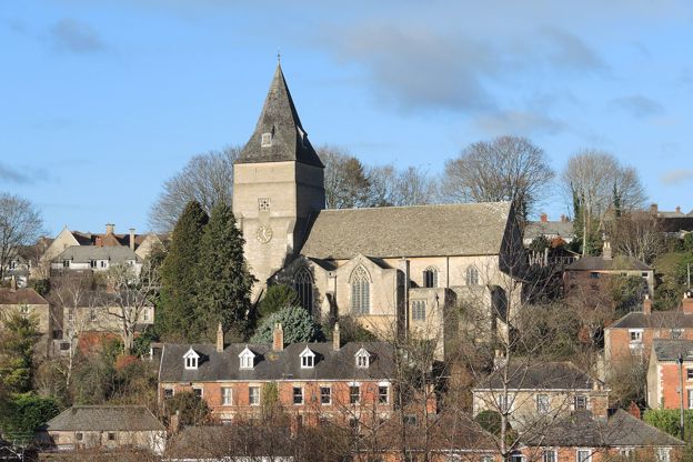
All Saints' Church, Uplands, Stroud
Sight · Church · Stroud
Temple Moore's Grade I church on the hillside at Uplands, above Stroud: built 1907 to 1910 and finished by Leslie Moore in 1932, with a tiled broach spire uncommon in Gloucestershire, a cool ashlar interior and oak stalls made by the Arts and Crafts cabinetmaker Peter Waals.
Stories about Slad
-
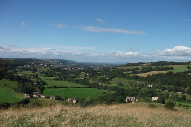
Laurie Lee and Slad
Story · History · 9 minute read
Laurie Lee's life and the Slad valley he wrote into Cider with Rosie: the cottage, the Woolpack, his grave at Holy Trinity, the Sheepscombe cricket field and the Wildlife Way.
Getting to Slad
- By car
- On the B4070 between Stroud and Birdlip, 2 miles from Stroud. There is no car park: park on the road by the Woolpack, or at the Bulls Cross layby a mile further on for the walk.
- By bus
- Cotswold Green's 65A (Saturdays, one journey each way) and 228 (Thursdays, twice a day) stop at the Woolpack and the war memorial. Check times on bustimes.org first.
- By train
- Stroud, on the line from London Paddington and Gloucester, is 2 miles away. A taxi from the station takes about ten minutes.
Access
The church has a few parking spaces for disabled drivers up its drive and is open in daylight; the valley paths are steep, uneven and muddy in winter
| Stroud station | 2.5 mi |
|---|---|
| Painswick | 1.9 mi |
| Bisley | 3.1 mi |
| Gloucester | 8.7 mi |
| Cheltenham | 13.7 mi |
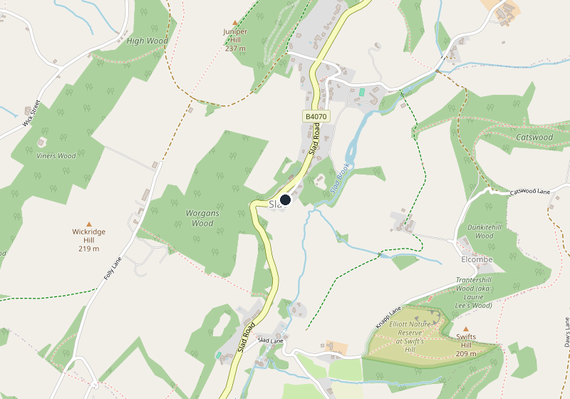
Places near Slad
-
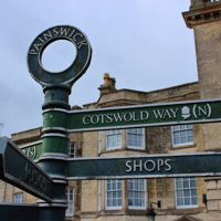 PainswickA former cloth town above the Stroud valleys, with a churchyard of clipped yews and carved tombs, a church clipping every September, and the Rococo Garden.
-
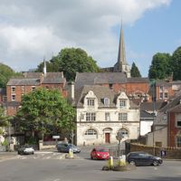 StroudThe cloth town where five valleys meet, with a Saturday farmers' market, a free museum in Stratford Park, a canal coming back to life and Laurie Lee's Slad next door.
-
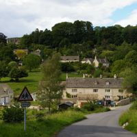 SheepscombeA former weaving village in a steep side valley above Painswick, with the Butchers Arms on the hillside, the cricket ground Laurie Lee bought on the top, and the beechwoods of the Cotswold Commons and Beechwoods reserve behind.
-
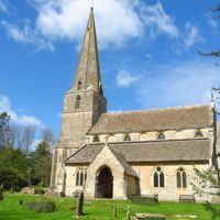 BisleyA high stone village east of Stroud with a row of wells dressed with flowers every Ascension Day, a two-cell lock-up of 1824, and a pub in the old courthouse with a colonnade along its front.