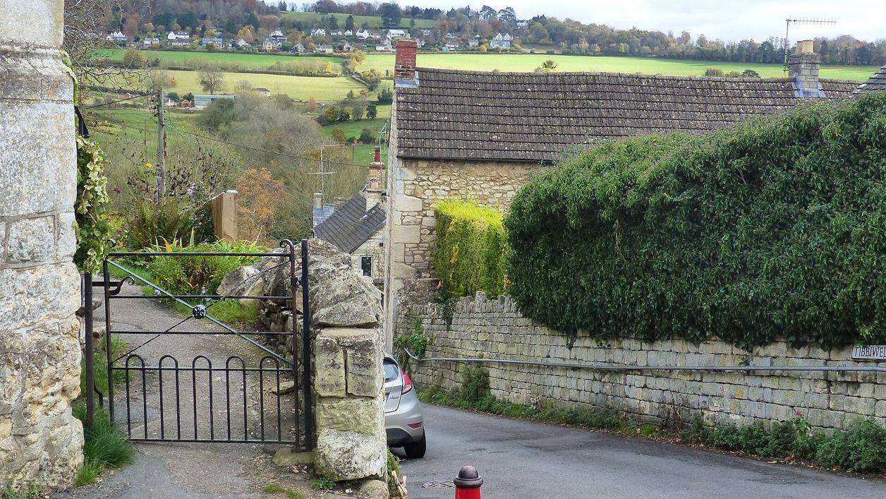
Ruth Sharville, CC BY-SA 2.0, via Wikimedia Commons
The Painswick Stream
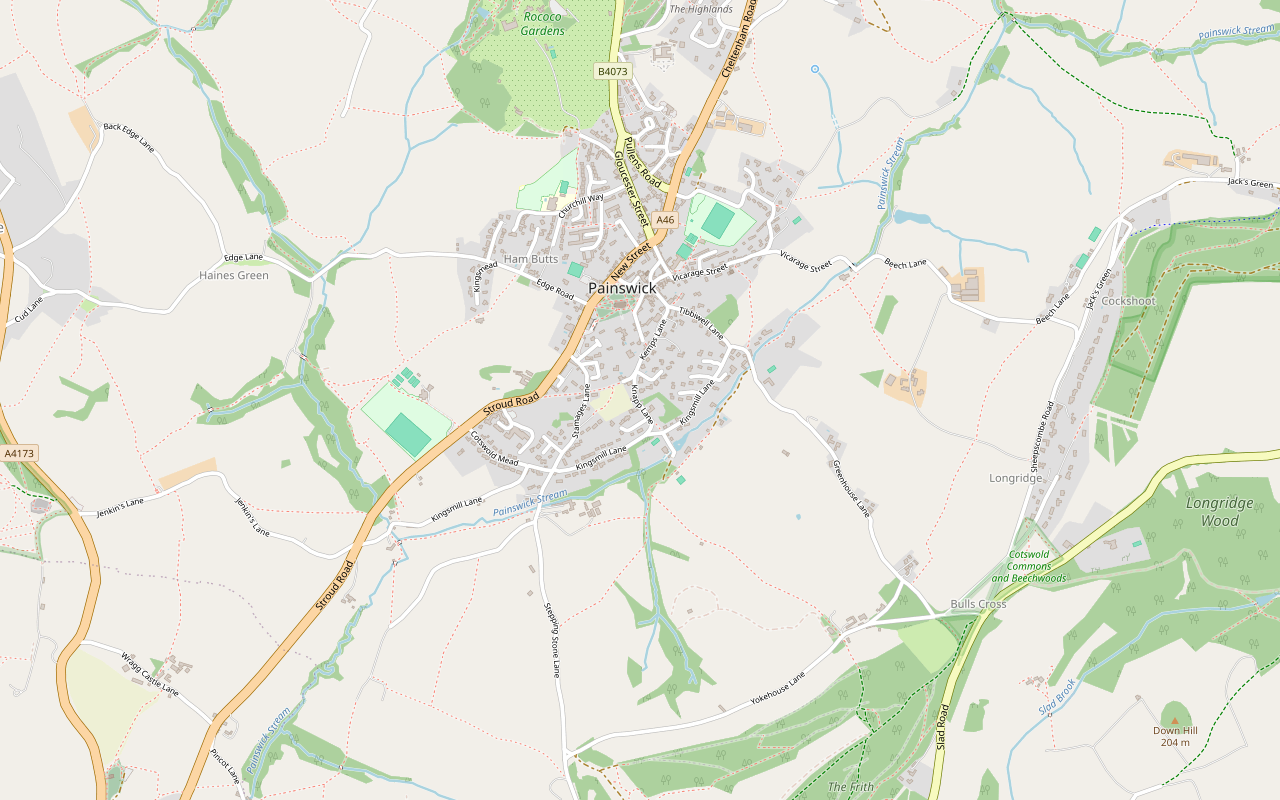
A 3-mile (4.6km) circular walk from Painswick, moderate, with stiles and one steep climb, in one to one and a half hours: through the churchyard and down Vicarage Street to the Painswick Stream, along it past five old mills, and back up Knapp Lane to the stocks.
- Distance
- 4.6 km (2.9 mi)
- Difficulty
- Moderate
- Time
- 1 hr, 30 mins
- Circular
- Circular
The route
Starts at Stamages Lane car park, Painswick StilesSteep section Download GPX
Step by step
-
Step 1: Through the churchyard to Vicarage Street
Leave the upper tier of Stamages Lane car park by the passage in the far right-hand corner. In the churchyard, follow the stepping-stone path along its edge to the main door of the church, turn right through the churchyard and come out into St Mary's Street. Carry straight on past the Royal Oak, then turn right into Vicarage Street and walk downhill between rows of weavers' cottages.
-
Step 2: Down to Loveday's Mill
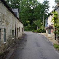
At Dover House, a marked lane on the right makes a short diversion to the garden of the Quaker Meeting House. Back on Vicarage Street, carry on down to a fork and keep right. At the bottom of the hill the road crosses the Painswick Stream, with Loveday's Mill on the right.
-
Step 3: Along the stream to Brookhouse Mill
Where the road bears left, go straight ahead over a stile into a field. Turn right and follow the field boundary behind the mill, cross a second stile and carry on the same way, following the stream. At the corner of the field, cross another stile onto a footpath and keep close to the bank of the stream until you reach a lane.
- Stiles
-
Step 4: Past Painswick Mill to the farm
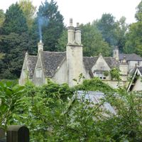
Join the broad drive opposite, beside the mill race for Brookhouse Mill, and keep to it past stables until a rough track joins from the right; a short detour down it leads to the mill pond and the entrance to Painswick Mill. Back on the path, carry on to the right. Where it forks, bear right, and after about 70m go through the gate into the field on your right. There is no clear path here: walk straight ahead, and from the brow of the rise head for the group of farm buildings ahead. Leave the field at the far corner by a squeeze stile onto the farm drive, go left to a lane and turn right.
- Stiles
-
Step 5: Skinners Mill to Kingsmill
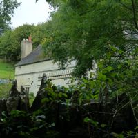
Opposite the entrance to Skinners Mill, cross the stone stile onto the waymarked footpath. Follow it to a kissing gate into a field, keep beside the stream to the far side, and go through another kissing gate and over the footbridge across the mill race and its sluice gates. Go through the gate; with the buildings of Kingsmill in front of you, turn right into Kingsmill Lane.
- Stiles
-
Step 6: Up Knapp Lane to the stocks
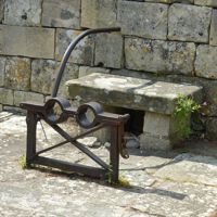
Follow Kingsmill Lane to a crossroads and go straight over, then carry on to a fork. Bear left up Knapp Lane, which climbs steeply. Near the top, turn left into Hale Lane, opposite Fig Tree Cottage; it is narrow at first and opens out into a wider road. At the top the churchyard is in front of you, with the village stocks by the wall to the right of the gate. Go back through the churchyard to the car park, or across it to the bus stops.
- Steep section
Sights on the way
The sights this walk passes, numbered as on the map.
-
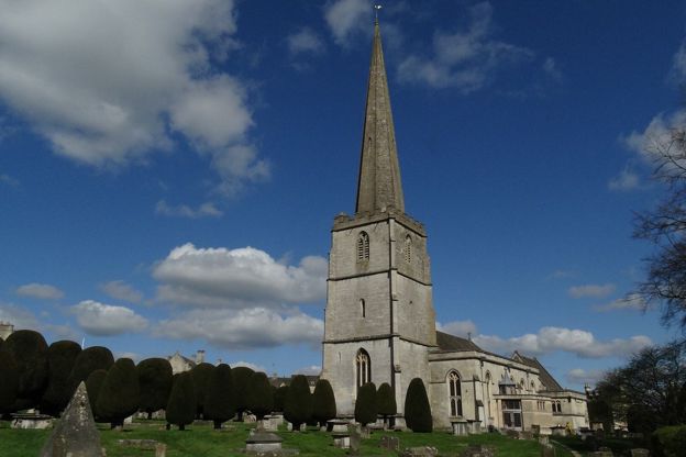
St Mary's Church, Painswick
Sight · Church · Painswick
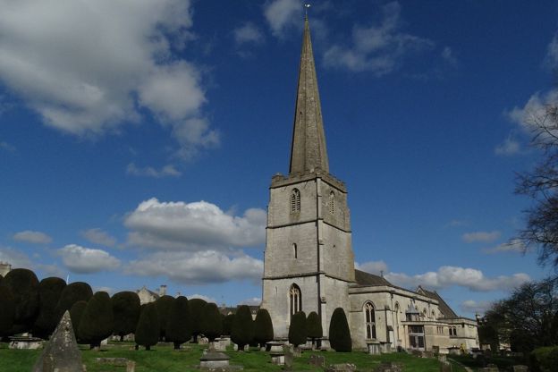
St Mary's is Painswick's Grade I parish church, of the late fourteenth and fifteenth centuries with a tall stone spire, set in a churchyard of clipped yews and carved table tombs that is on the national Register of Parks and Gardens. Open daily; the clipping is each September.
-
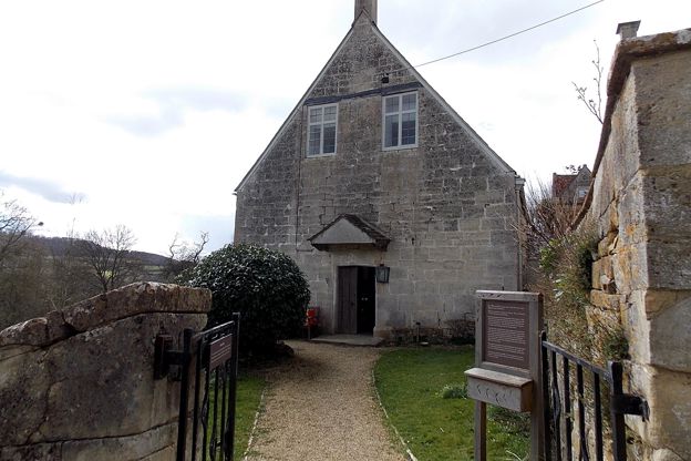
Quaker Meeting House, Painswick
Sight · Historic building · Painswick
Painswick's Friends Meeting House is a plain stone meeting house of 1706 off Vicarage Street, built on land given by the Loveday family and still used by Quakers every Sunday. Its walled garden, an old burial ground, is open for quiet reflection. Grade II.
-
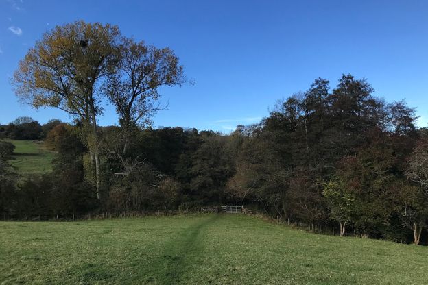
Painswick Stream
Sight · River · Painswick
The Painswick Stream runs south in the valley below Painswick to the River Frome at Stroud. It drove the town's cloth trade: 25 mills stood in the parish in 1820. Footpaths follow it past Loveday's Mill, Skinners Mill and Kingsmill, old mills that are now homes.
-

Court House, Painswick
Sight · Historic building · Painswick
The Court House is a gabled stone manor house of 1604 on Hale Lane, beside Painswick churchyard, with a panelled court room and a bedroom named after Charles I. Listed Grade I, it is a private home seen from the lane and the churchyard.
The walk in detail
The Painswick Stream walk is a 3-mile (4.6km) circular walk from the Stamages Lane car park in Painswick down to the Painswick Stream and along it past five old cloth mills, by the Royal Oak inn. It takes one to one and a half hours and is graded moderate, with stiles and one steep climb at the end.
It is Painswick 1 in the Cotswolds National Landscape's Cotswold Gateway series. The route page grades it uneven, with steep slopes, for good fitness, and there are several stiles and kissing gates.
The churchyard and St Mary's
The walk starts by crossing the churchyard, which is on the national Register of Parks and Gardens for its topiary and its monuments; the VCH calls it notable for its clipped yews. Many of the tombs are listed one by one, many of them carved by the Bryan family of stone carvers, and the oldest altar tomb is William Loveday's, who died in 1623. St Mary's is Grade I, built from the late fourteenth century, with a fifteenth-century tower; the spire was rebuilt after lightning struck it in 1883. The church page gives its opening hours as 9am to 6.30pm in summer and 9am to 4.30pm in winter.
Out in St Mary's Street you pass the Royal Oak, an inn of the seventeenth century that its listing says was once two inns, the Red Lion and the Royal Oak, joined in 1891.
Vicarage Street, Dover House and the Quakers
Vicarage Street runs downhill between rows of weavers' cottages. Dover House, on the south side of the street, is listed Grade II*: a house of about 1720 built for one of the Loveday family, joined to a smaller seventeenth-century cottage that was probably the first house on the site.
The short diversion from Dover House leads to the Quaker Meeting House, built in 1706 and altered in 1793 and 1794. The date 1706 is cut into the lintel of the original door on the south side, now blocked; since 1794 the way in has been at the east end.
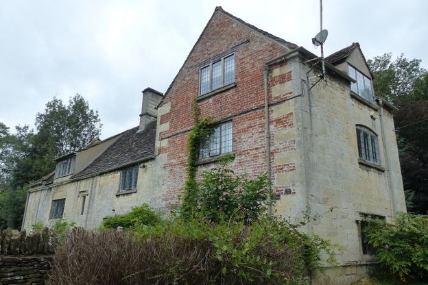
The mills on the Painswick Stream
Painswick was built on cloth. In 1820 the parish had 25 mills, 18 of them working cloth, but cloth-making fell away from the 1840s, and most of the mills had stopped by the early twentieth century. The walk passes five of them.
Loveday's Mill, where the walk reaches the stream, is a seventeenth-century miller's house set right against a later mill of the nineteenth century. Painswick Mill House, at the end of the detour by the mill pond, is a large house of the seventeenth century. Skinners Mill, a former mill and mill house that are now two cottages, has origins in the fifteenth century or earlier. The leaflet calls the buildings at Kingsmill Tudor; the listing of King's Mill House describes a mill and mill house of the eighteenth and nineteenth centuries, built in several stages round three sides of a courtyard.
The Cotswolds Info newsletter
Events, new places and the best of the season, about once a month. Unsubscribe at any time.
Back up to the stocks
The steep climb comes at the end, up Knapp Lane and then the narrow Hale Lane to the churchyard. The stocks by the churchyard wall, to the right of the gate, are a pair of nineteenth-century leg irons with a stone seat slab against the wall.
Paths, stiles and gates
The walk uses village lanes, streamside field paths, a broad drive and one field with no clear path across it. There are stiles, among them a squeeze stile and a stone stile, as well as kissing gates, field gates and a footbridge over a mill race. The leaflet says nothing about mud or livestock.
Food, parking, buses and dogs
The leaflet names three places for refreshments. The Falcon on New Street, opposite the church, opens every day from 8am and has 11 rooms, all of them dog friendly. The leaflet also names the Royal Oak Inn, passed on the way out, which CAMRA's pub guide, surveyed in July 2025, lists as open daily, from 3pm on Mondays and Tuesdays and from 11am the rest of the week, with food from Wednesday to Sunday. The leaflet's third stop, the Painswick Pooch on New Street, still trades as a coffee house, open in winter from 8.30am to 4.30pm on Monday to Wednesday, 10am to 4pm on Thursday and Friday, 9am to 4pm on Saturday and 10am to 3pm on Sunday. To stay in the town, The Painswick is a hotel on Kemps Lane, St Anne's on Gloucester Street is a bed and breakfast in a former wool merchant's house that welcomes Cotswold Way walkers, and our pick of places to stay in Painswick has more.
Park in Stroud District Council's Stamages Lane car park, GL6 6UT, a long-stay car park with 56 bays and four EV charging bays. Local buses stop across the churchyard from the end of the walk, among them Stagecoach West's 66 from Stroud, about 10 minutes away, and the route page notes a tourist information office in the churchyard that is not open in winter. The leaflet for Painswick 1 (opens in a new tab) has the map.
The leaflet gives no dog rules and says nothing about livestock. A dog will need help at the squeeze stile and the stone stile, so the walk suits a dog that can be lifted, and our guide to the Cotswolds with a dog has the rules in fields with stock.
More around Painswick
Painswick's other walk climbs the hill north of the town: the 5-mile loop to Painswick Beacon crosses Iron Age ramparts and comes home past the Rococo Garden. Our guide to Stroud and the Five Valleys covers the valleys below the town. The leaflet's map shows the Cotswold Way passing through Painswick. Painswick Rococo Garden, which Benjamin Hyett began to lay out in 1738 as a pleasure garden for Painswick House, is on the north side of the town. Stroud is about 4 miles south by road, and the loop from Stroud over Rodborough Common is the same length, graded strenuous.
Places on the way
-
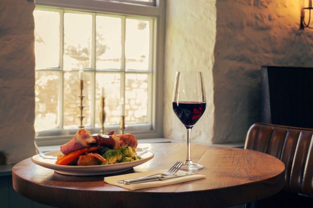
The Falcon Inn
Inn · Painswick
A family-run inn with eleven rooms on New Street, Painswick, established in 1828 and under new owners since February 2026, with dogs welcome throughout.
Dog-friendly · Wedding venues
Verified Oct 2026
-
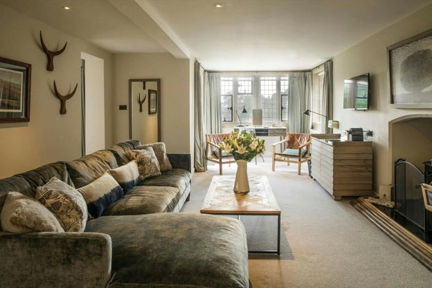
The Painswick
Hotel · Painswick
A 16-room hotel in a Palladian house on Kemps Lane, Painswick, part of the Calcot Collection, with an AA Rosette restaurant and dogs in some rooms.
Dog-friendly · Wedding venues
Verified Nov 2026
-
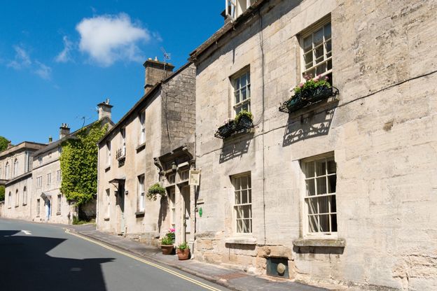
St Anne's
B&B · Painswick
A three-room bed and breakfast in a former wool merchant's house on Gloucester Street, Painswick, suited to Cotswold Way walkers.
Dog-friendly · Walker-friendly · Car-free
Verified Oct 2026
-
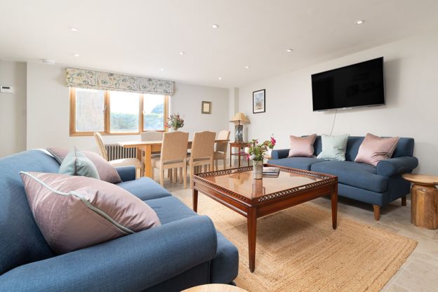
Barn Cottage, Painswick
Self-catering · Painswick
A three-bedroom barn conversion in Painswick, sleeping six in en suite rooms, with off-road parking, an enclosed courtyard and dogs welcome.
Dog-friendly
Verified Nov 2026
-
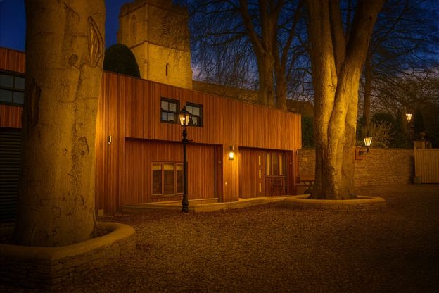
Stable Cottage, Painswick
Self-catering · Painswick
A two-bedroom barn conversion in Painswick sleeping four, with a private garden and a petanque piste, dogs welcome.
Dog-friendly
Verified Nov 2026
-
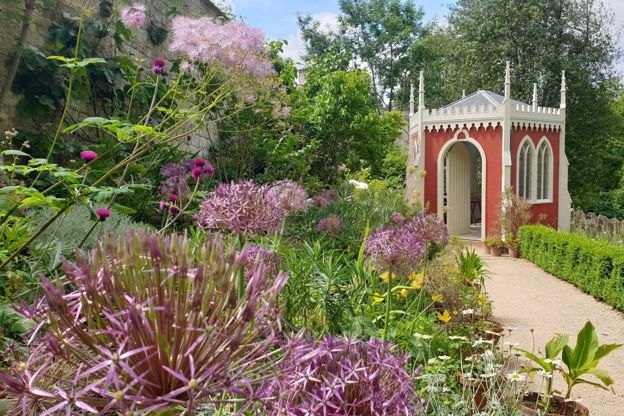
Painswick Rococo Garden
Parks and gardens · Painswick
An eighteenth-century pleasure garden restored from a painting of 1748, with snowdrops in late winter, a café and dogs welcome on short leads.
Dog-friendly · Family-friendly · Car-free
Verified Oct 2026
Stay near the start
Inns, cottages and hotels within a short drive of where the walk begins, so you can set off early.
Where to stay in Painswick-
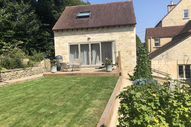
Cotswold Lodge
Self-catering · Painswick
A one-bedroom lodge on Stamages Lane, Painswick, for two adults and up to two young children, with a deck over the valley and free parking.
Verified Oct 2026
-
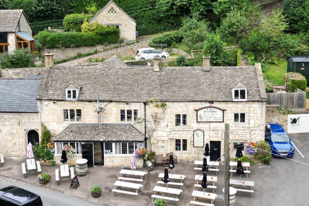
Shepherd Huts at the Butchers Arms
Glamping · Painswick
Two shepherd huts beside the Butchers Arms at Sheepscombe, about two miles by road from Painswick, each with a king-size bed, shower room and kitchen.
Dog-friendly · Walker-friendly · EV charging
Verified Nov 2026
-
Woody's Cottage
Self-catering · Sheepscombe
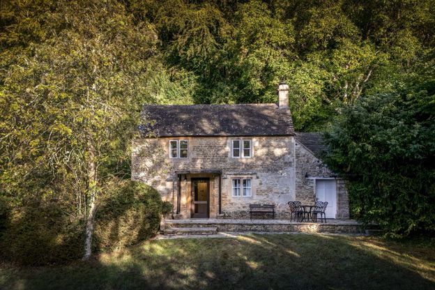
A National Trust holiday cottage for four in the beechwoods half a mile from Sheepscombe, built in the 19th century for the Ebworth estate, with a garden room looking down the valley.
Dog-friendly · Family-friendly · Walker-friendly
Verified Oct 2026
More like this
Stories on this walk
-
The Cotswolds in September
Story · Guides · 8 minute read
The Cotswolds in September: the schools back and the villages quiet on weekdays, the Moreton Show, Heritage Open Days, the Blenheim horse trials and Painswick's clipping, the last weeks of the summer gardens, walks on the edge and where to stay for them.
More walks to try
-
Painswick and Painswick Beacon
Walk · Starts in Painswick · 2 hrs, 45 mins · Circular · Dog-friendly
A 5-mile (8.2km) circular walk from Painswick, moderate and two and a half to three hours, with 250m of climbing: out by Butt Green and the Holcombe farms, over the B4073 and up to the Iron Age ramparts on Painswick Beacon, then down past the golf course and the Rococo Garden.
-

The Cotswold Way
Walk · Dog-friendly
The Cotswold Way is a 102-mile (164km) National Trail walk from Chipping Campden to Bath along the escarpment, in 15 sections; the official guidebook suggests seven to ten days, and its frequent steep climbs make it hard going.
-
The Laurie Lee Wildlife Way
Walk · Starts in Painswick · 2 hrs, 45 mins · Circular
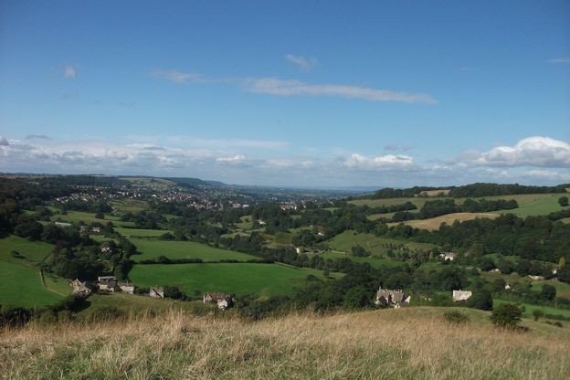
A 5-mile (8.4km) circular walk from Bulls Cross round the Slad valley, moderate with steep climbs and three to five hours with stops: Gloucestershire Wildlife Trust's loop by Longridge Wood, Snows Farm, Catswood and Swift's Hill, with ten posts carrying Laurie Lee's poems.