Gareth James, CC BY-SA 2.0, via Wikimedia Commons
Stroud, Capel's Mill and Rodborough Common
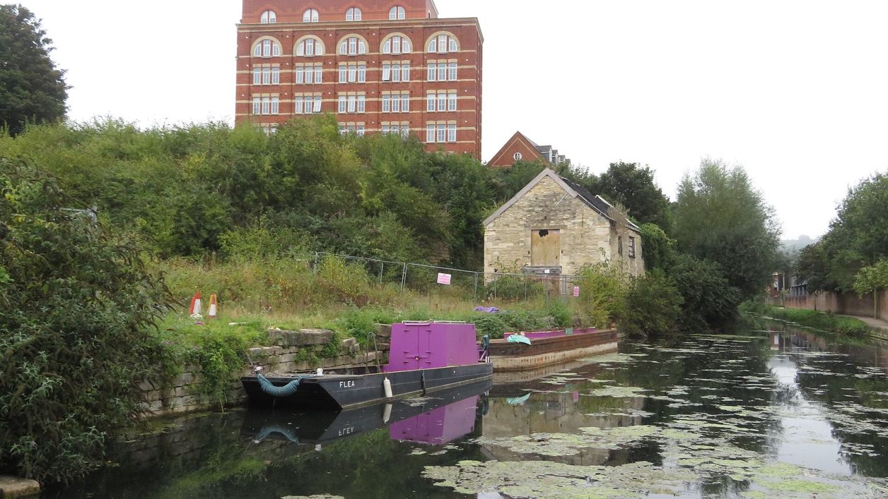
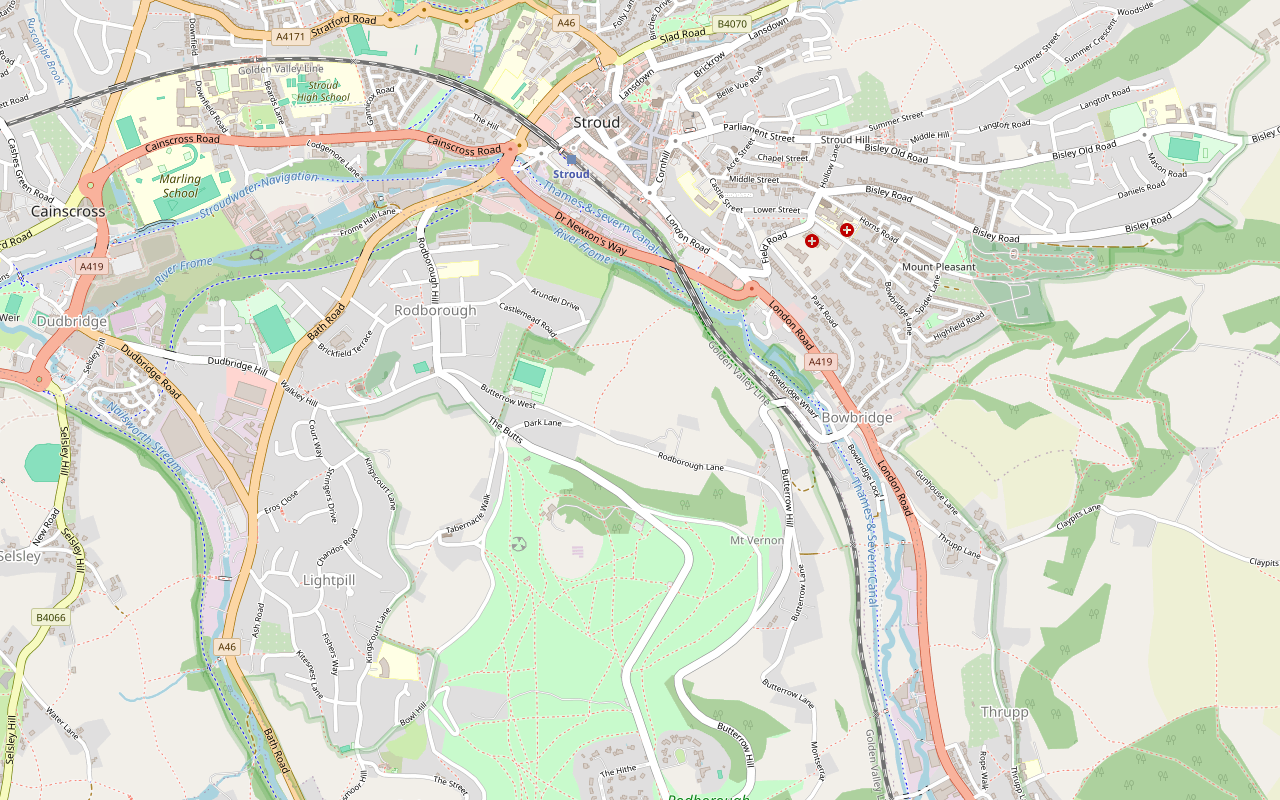
A 3-mile (5km) circular walk from the Subscription Rooms in Stroud, graded strenuous, of about an hour and a half: along the Frome Banks to the Capel's Mill viaduct, up over Rodborough Common past the fort, down through Butterow and back along the canal towpath.
- Distance
- 5.0 km (3.1 mi)
- Difficulty
- Hard
- Time
- 1 hr, 30 mins
- Circular
- Circular
The route
Starts at The Subscription Rooms, Bedford Street, Stroud StilesSteep section Download GPX
Step by step
-
Step 1: The Subscription Rooms to the canal
With the Subscription Rooms behind you, head for the right-hand corner of the forecourt and walk down George Street. At the bottom turn left along Rowcroft, under the railway bridge. Cross the road at one of the two crossing points to the Cotswold Canals Trust visitor centre at Wallbridge. Keeping the centre on your left, go through the subway and turn sharp left.
-
Step 2: The Frome Banks to Capel's Mill
The footpath runs through the Frome Banks Nature Reserve and comes out at the footbridge beneath the Capel's Mill viaduct. It can be soft underfoot and has steps and stiles. If you would rather avoid them, take the canal towpath opposite the visitor centre instead.
- Stiles
-
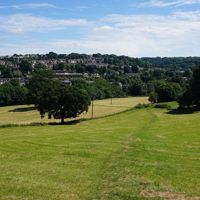
Step 3: Rodborough Fields to the common
At the viaduct, cross the bridge over the river and bear right at the top of the path into Rodborough Fields. The footpath is clear as it climbs through two fields and into a small wood, where either of the two trails brings you to the foot of the Rodborough Community Hall playing field. Walk past the hall towards its entrance road and keep left on the short path beside Elm Cottage. Cross the lane with care; opposite and to the right, a gate between two houses opens onto a narrow lane. Climb it to a gate and a road at the top, and cross the road with care.
- Steep section
-
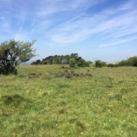
Step 4: Over Rodborough Common
You are now at the foot of Rodborough Common. Any of the trails will take you up it. At the top, keep the fort on your left and follow the line of its wall as it curves round for a few hundred metres, then leave it and head across the grassland towards the road. Do not make for the main car park over to the right; bear left to a second car park.
- Steep section
-
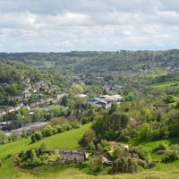
Step 5: Down through Butterow
Cross the road with this car park on your left and go down the grassland on the other side to a footpath running left and right. Turn left and follow it downhill with the Golden Valley on your right, past the entrance to an old quarry on your left and under a horse chestnut tree to a road. Cross, walk between a property wall and two more large horse chestnuts, and go down the tree-lined path, which can be a little difficult underfoot, to a road. Opposite, a few steps lead down to a narrow path to the left of a cottage. Follow it down to Butterow Hill, go straight across, and take another narrow footpath through a gate onto the main railway line. Take care crossing the track; on the far side, steps bring you down to the bottom of Butterow Hill on a bend.
- Steep section
-
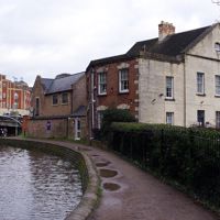
Step 6: Back along the canal
Walk a little further and cross the road at the bridge over the canal. Take the first turning on the left and then left again onto the towpath, and turn right along the path between the canal and the River Frome, which is on your right. After a few hundred metres you pass Arundel Mill Pond on your right, then come back to Capel's Mill. Follow the path to the main road and turn left to stay on the path under one of the arches of the viaduct. It brings you back to the main road and over a bridge across the canal. Turn left down to the towpath and left again under the bridge you have just crossed, and follow the towpath back to the visitor centre at Wallbridge. Retrace your steps along Rowcroft and up George Street to the Subscription Rooms.
Sights on the way
The sights this walk passes, numbered as on the map.
-
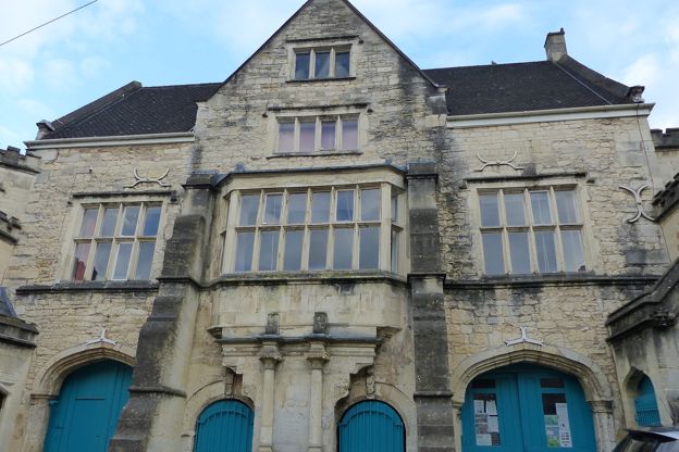
Old Town Hall, Stroud
Sight · Historic building · Stroud
Stroud's market house of the 1590s in the Shambles beside St Laurence's, with an eight-light oriel on scrolled brackets, lion-mask arches and Victorian battlemented stair towers. Grade II*; seen from the market place.
-
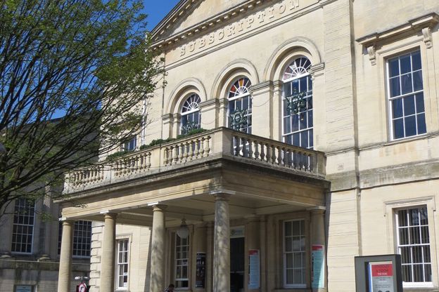
Subscription Rooms, Stroud
Sight · Historic building · Stroud
Stroud's Subscription Rooms on George Street, paid for by public subscription in 1833 and now an arts venue run by a charity: a pedimented stone front with a carriage porch and balcony, where election results were once read out, and a bar open daily.
-
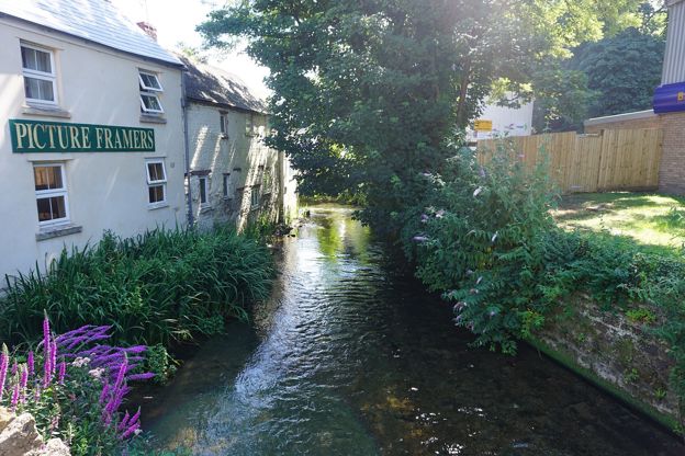
River Frome, Stroud
Sight · River · Stroud
The River Frome runs along the bottom of Stroud, where four streams join it to make the town's five valleys. It drove the mills of the Stroud cloth trade, and today a riverside path through Frome Banks and the canal towpath follow it below the town.
-
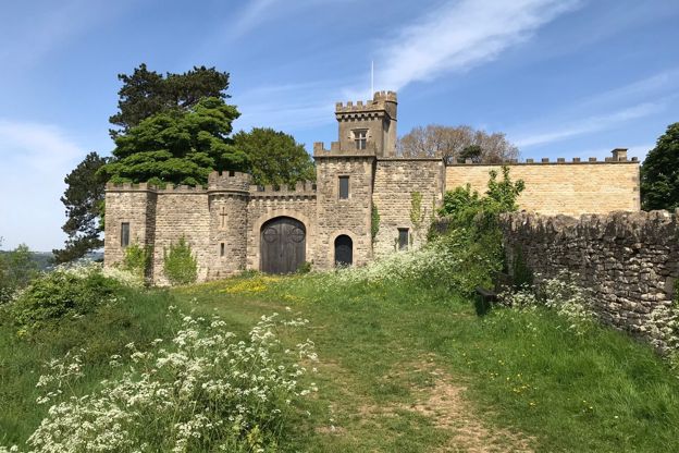
Rodborough Fort
Sight · Historic building · Stroud and the Five Valleys
Rodborough Fort is a battlemented house on the brow of Rodborough Common above Stroud, begun as a folly for Captain Hawker in 1761 and enlarged in 1870 with a four-storey tower, turreted curtain walls and a small chapel. Grade II; a private house, seen from the common.
-
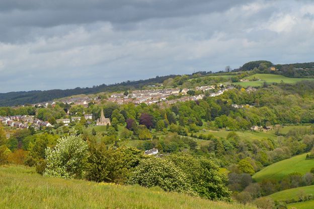
Rodborough Common
Sight · Common or park · Stroud and the Five Valleys
Open limestone grassland on the hill between Stroud and the Golden Valley, owned by the National Trust, known for rare pasqueflowers in spring, early purple orchids in May and over 30 kinds of butterfly, grazed by commoners’ cattle, with Rodborough Fort on its brow.
The walk in detail
The Stroud, Capel's Mill and Rodborough Common walk is a 3-mile (5km) circular walk from the Subscription Rooms in Stroud. It takes about an hour and a half and is graded strenuous, with fairly steep climbs. It follows the River Frome out of town, climbs over Rodborough Common past a battlemented folly and comes home along the canal.
It is Stroud 1 in the Cotswolds National Landscape's Cotswold Gateway series, and on the way it crosses the railway on foot at Butterow. The leaflet calls the riverside path uneven; the National Landscape's route page, last reviewed in April 2026, allows up to two hours.
The Subscription Rooms and the canal at Wallbridge
The walk starts at the Subscription Rooms, built in 1833 to designs by George Basevi, with Charles Baker of Painswick overseeing the work, and reaches the canal at Wallbridge at the bottom of the town. The listing describes a stone front of five windows with a pediment and a carriage porch on Tuscan columns carrying a balustraded balcony. Walking down George Street you pass the clock tower on its island, a mid nineteenth-century stone tower with a column at each corner and a dome of fish-scale stone.
Stroud sits where five valleys formed by the Frome and its tributaries meet, and its canals reached the Severn in 1779 and the Thames in 1789. At Wallbridge you meet the Cotswold Canals Trust, volunteer-led since 1972, which calls its work the UK's largest canal restoration project, 36 miles of the Stroudwater Navigation and the Thames and Severn Canal. About 100m west of its visitor centre stand the offices built in 1795 and 1796 by William Franklin for the company that ran the Stroudwater Navigation, with a board room, offices and a home for the clerk. Beside the canal near the visitor centre is Wallbridge Warehouse, built in 1828 as part of the wharf on the Thames and Severn Canal.
The Frome Banks and Capel's Mill
The first stretch follows the River Frome through the Frome Banks Nature Reserve to a footbridge beneath the Capel's Mill viaduct, where the climb begins. From the viaduct the path goes up through Rodborough Fields and a small wood to the community hall.
Near the end of the walk, the towpath brings you past Arundel Mill Pond. Arundell Mill, by the London Road, is listed as a seventeenth-century building with an eighteenth-century extension that was once a dyeworks.
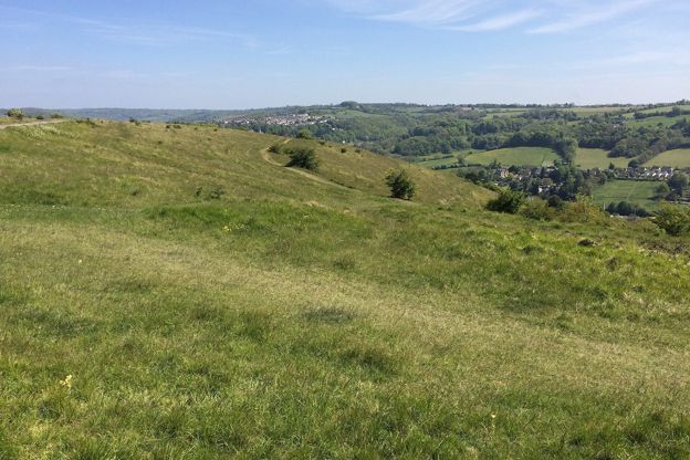
Rodborough Fort and Mount Vernon
Rodborough Fort, a folly of 1761, is the battlemented building you keep on your left at the top of the common. It was built for Captain Hawker, and a house was built inside it in 1870 for Alexander Holcombe. Its listing notes the tower with its machicolated parapet, the curtain walls of 1761 with their turrets and gateways, and a small chapel, probably of about 1870, inside the south-west courtyard. It is now a house, seen from the common.
On the way down towards Butterow the route passes close to Mount Vernon, a house of about 1800 enlarged around 1820 for Joseph Partridge, a dyer, in the Regency Gothick style, with a tall octagonal tower at the back.

The Cotswolds Info newsletter
Events, new places and the best of the season, about once a month. Unsubscribe at any time.
Paths, stiles and the railway crossing
Expect stiles and steps on the Frome Banks, two fairly steep climbs and a foot crossing of the main railway line. The Frome Banks path can be soft underfoot; the towpath opposite the visitor centre is the leaflet's alternative. The climbs through Rodborough Fields and up the common are fairly steep, and the tree-lined path down towards Butterow can be a little difficult underfoot. The route page puts the walk in its hardest grade and advises sturdy footwear, with walking poles suggested.
You cross roads at the top of the lane above The Butts, beside the car park on the common and several times on the way down through Butterow, and you cross the main railway line on foot through a gate, so take care. Cattle graze the commons and wander onto the roads that cross them: in September 2026 Minchinhampton Parish Council reported that cows had been killed by cars, the latest near the Bear on Rodborough Common. Watch for them where you cross the road, and keep a dog close. The leaflet itself says nothing about dogs.
Food and drink
There is no pub on the route itself, but the route page says there are many places to eat in Stroud. Near the start, Woodruffs on the High Street serves brunch and lunch, with food until 2.30pm (2pm on Sundays), and welcomes dogs, and on Saturdays the farmers' market fills the centre of town from 9am to 2pm, with Salt Bakehouse among the stalls.
Up the hill, the Prince Albert, a pub and music venue at the top of Rodborough Hill, is a few hundred metres off the route near the community hall. It opens in the afternoon (from 1pm at weekends) and is closed on Tuesdays. The Clothiers Arms at 1 Bath Road, near Wallbridge, has seven rooms, and our places to stay in Stroud has more.
Getting there and parking
The walk starts at the Subscription Rooms, 1 Bedford Street, GL5 1AE, and is easy to reach without a car. From the railway station, go down Station Road to Russell Street, turn right, then left into George Street. From the bus station, go through the Merrywalks shopping centre, turn left into Rowcroft and follow it round to the right into George Street.
The leaflet does not mention parking. Stroud District Council runs pay car parks in the town, among them Rowcroft, London Road, Parliament Street, Cheapside and Church Street; they charge Monday to Saturday, and most are free on Sundays and bank holidays. The leaflet for Stroud 1 (opens in a new tab) has the National Landscape's map.
More walks around Stroud
The shortest walk nearby is the 2-mile stroll round the top of Rodborough Common, which this walk crosses. Three miles south-east of Stroud, the walk over Minchinhampton Common to Amberley is a 5-mile loop without stiles, and 3 miles north the Painswick Stream walk follows a run of old mills for 3 miles. Our guide to Stroud and the Five Valleys covers the country round about, and the Museum in the Park in Stratford Park, free and closed on Mondays and from 21 December 2026 to 22 January 2027, is under a kilometre from the start.
Places on the way
-

Woodruffs
Cafes and tearooms · Stroud
A café on Stroud's High Street for brunch, lunch, coffee and cake, open every day, with dogs welcome.
Dog-friendly · Family-friendly · Car-free
Verified Oct 2026
-
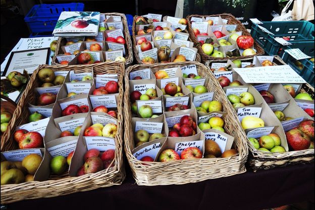
Stroud Farmers' Market
Farm shops and delis · Stroud
A farmers' market on Cornhill Market Place and the streets round it in Stroud every Saturday from 9am to 2pm, run by Made in Stroud and nominated for the FRA's Best Farmers' Market of the Year.
Verified Nov 2026
-
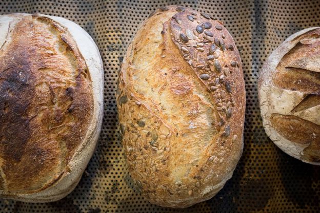
Salt Bakehouse
Farm shops and delis · Stroud
A bakery on Slad Road, Stroud, Baker of the Year 2016 at the BIA awards, selling from a kiosk on Union Street and at the Saturday farmers' market.
Verified Nov 2026
-

The Prince Albert
Pubs · Stroud
A pub and music venue at the top of Rodborough Hill, Stroud, serving pizzas and burgers, where dogs on a short lead are welcome in the day.
Dog-friendly · Family-friendly
Verified Nov 2026
-
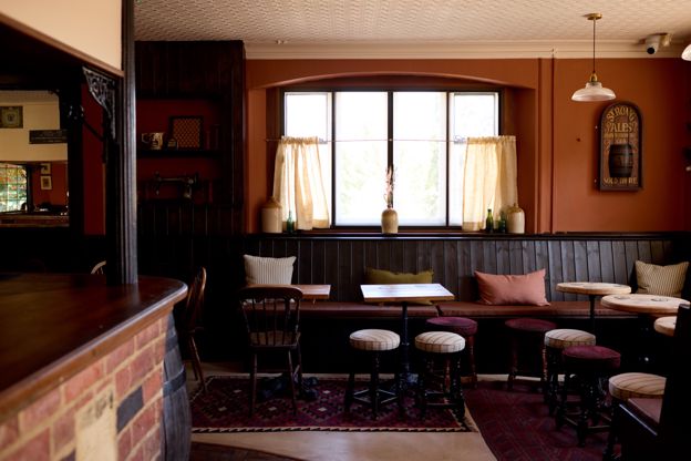
The Clothiers Arms
Inn · Stroud
A pub with seven rooms at the bottom of Rodborough Hill in Stroud, a pub since 1891, with a beer garden, an adventure play area next door and a family suite.
Family-friendly · Car-free
Verified Nov 2026
-
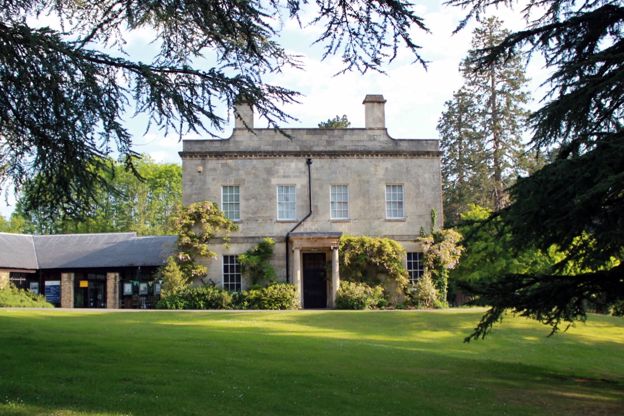
Museum in the Park
Museums and galleries · Stroud
Stroud's free museum in a seventeenth-century house in Stratford Park, with a walled garden and a café, closed on Mondays and for a few weeks in winter.
Rainy days · Car-free · Family-friendly
Verified Oct 2026
Stay near the start
Inns, cottages and hotels within a short drive of where the walk begins, so you can set off early.
Where to stay in Stroud-
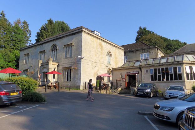
Premier Inn Stroud
Hotel · Stroud
A Premier Inn in the Grade II-listed Stratford Lodge, opposite Stratford Park in Stroud, with free parking and a pub next door for meals.
Verified Oct 2026
-
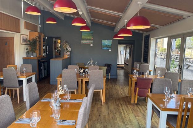
The Bell Inn, Selsley
Inn · Stroud
A chef-owned 17th-century inn, listed Grade II, with two bedrooms at Selsley, two miles from Stroud, with two AA Rosettes and dogs welcome throughout.
Dog-friendly
Verified Nov 2026
-
Old Fleece apartments
Self-catering · Nailsworth
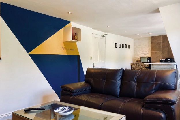
Three self-catering apartments behind the Old Fleece pub at Rooksmoor, between Nailsworth and Stroud, with an EV charging point and the garden.
EV charging
Verified Nov 2026
More like this
More walks to try
-
Rodborough Common and the fort
Walk · Starts in Stroud and the Five Valleys · 45 mins · Circular · Dog-friendly
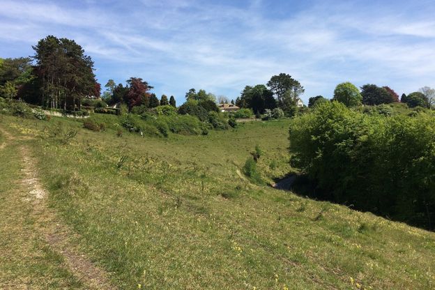
A 2-mile (3.4km) circular walk on Rodborough Common above Stroud, easy, nearly level and about 45 minutes: up to the battlemented folly of Rodborough Fort, down the open western edge, and back past the Bear and an ice-cream stop. Grassy, and grazed by cattle.
-
Cotswold Way: King's Stanley to Dursley
Walk · Starts in Stroud · 4 hrs, 15 mins · Dog-friendly
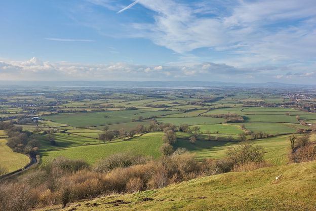
A 6.7-mile (10.8km) one-way walk on the tenth section of the Cotswold Way, moderate and about four and a quarter hours: from Middleyard up through Stanley Wood to Coaley Peak, along the edge past two long barrows, over Cam Long Down and down into Dursley.
-
Haresfield Beacon and Standish Wood
Walk · Starts in Stroud and the Five Valleys · 2 hrs, 15 mins · Circular
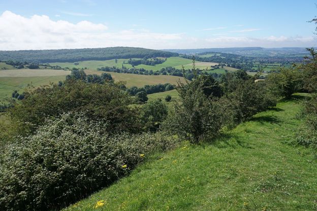
A 4.5-mile (7.2km) circular walk from the National Trust's Shortwood car park, moderate and two to two and a half hours: south through the beeches of Standish Wood, down across the fields below the escarpment, and a long climb back to the hillfort on Haresfield Beacon.