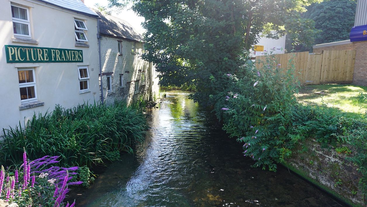
Bill Boaden, CC BY-SA 2.0, via Wikimedia Commons
River Frome, Stroud
The River Frome runs along the bottom of Stroud, where four streams join it to make the town's five valleys. It drove the mills of the Stroud cloth trade, and today a riverside path through Frome Banks and the canal towpath follow it below the town.
River
StroudThe River Frome runs along the bottom of Stroud, and the town grew where four streams come down to join it, making the five valleys that give the district its name. From the sixteenth century to the late nineteenth the river drove the mills of the Stroud cloth trade; today a riverside path and the canal towpath follow it below the town.
The river and its valleys
The Frome rises at Climperwell, near Brimpsfield, high on the Cotswolds, and by the reckoning of the Victorian historian P H Fisher runs about 14 miles to Stroud by way of Chalford, then on through the Vale of Stonehouse to the Severn at Framilode, about 8 miles further. Stroud's local history society follows Fisher in naming the five valleys by their streams:
- The Frome itself, down from Chalford
- The Slad Brook, which joins it at Wallbridge
- The Painswick Stream, which joins at Lodgemore
- The Nailsworth Stream, down from Nailsworth and Woodchester, and the Ruscombe or Cuckold's Brook, both joining at Dudbridge
The town's name may come from the river. The Victoria County History reads la Strode, first recorded in 1221, as the marshy ground where the Slad Brook meets the Frome.
History
The Frome made Stroud a cloth town. Two fulling mills were recorded at Stroud in about 1513, its water came to turn the wheels of mills all along the valleys, and by 1608 the parish already had 19 clothiers, 76 weavers, 33 fullers and three dyers. By the early eighteenth century the district was famous for its cloth and its dyes. The depression of the late nineteenth century closed most of the mills in the old parish.
The canals
Water brought trade as well as power. The Stroudwater Navigation, running beside the river, reached the Severn in 1779, and in 1789 the Thames and Severn Canal joined it to the Thames. Since 1972 the Cotswold Canals Trust, based at Wallbridge, has led their restoration, which it calls the largest in the UK: 36 miles of canal. The next stretch, about 6km from Saul Junction to Stonehouse, is being restored to join the Stroudwater to the national network, with reopening aimed for 2029.
What to see
At Wallbridge, by the canal trust's base, a path leaves the town to follow the Frome through Frome Banks, a narrow reserve of about two acres behind Dr Newton's Way, as far as Capel's Mill and the railway viaduct over the valley. Stroud Valleys Project looks after the reserve, and has put in woody deflectors for fish, planted wildflowers that cope with the mud and firmed up the path. Stroud Valleys Project names dippers, grey wagtails and kingfishers on this stretch, and Gloucestershire Wildlife Trust, which managed it from 2015, adds otters. Rodborough Fields lie across the river, and the canal towpath runs back towards the town between canal and river.
Visiting
The riverside path and the towpath are open at all times and free. The towpath is mostly level; the Frome Banks path is narrow, can be muddy after rain and has steps and stiles, so boots help in winter. The Cotswold Canals Trust runs short trips on its boat Perseverance from Bowbridge Lock, east of the town, to Capel's Mill and back on set dates; see its website.
Getting there
Wallbridge is at the bottom of Stroud beside the A419, a few minutes' walk from the station and from the Subscription Rooms on George Street. Stroud has direct trains to London Paddington, buses stop at Merrywalks, and London Road car park (GL5 2AJ) is in the town. The Rodborough Common walk climbs the hill above the valley to the south.
Nearby
Above the river to the south are Rodborough Common and Rodborough Fort. The Clothiers Arms and the Prince Albert are both within a short walk, and Woodruffs is up in the town. The Museum in the Park at Stratford Park is the town's museum, free to visit. In the town, St Laurence's Church was rebuilt in the 1860s on the wealth of the valley.
Walks past River Frome, Stroud
-
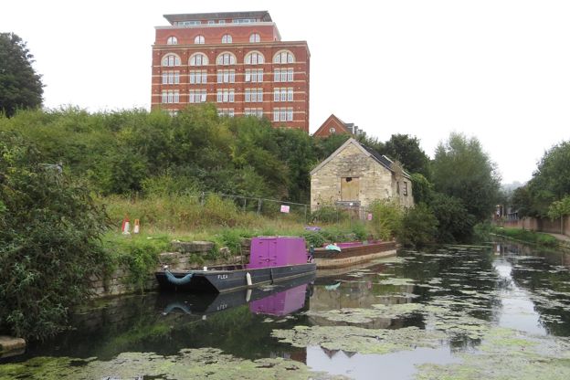
Stroud, Capel's Mill and Rodborough Common
Walk · Starts in Stroud · 1 hr, 30 mins · Circular
A 3-mile (5km) circular walk from the Subscription Rooms in Stroud, graded strenuous, of about an hour and a half: along the Frome Banks to the Capel's Mill viaduct, up over Rodborough Common past the fort, down through Butterow and back along the canal towpath.
-
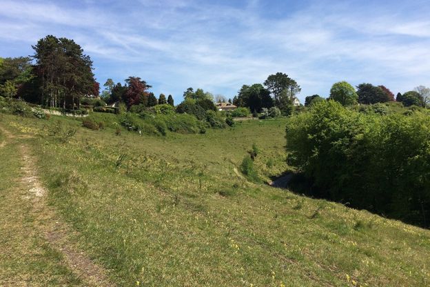
Rodborough Common and the fort
Walk · Starts in Stroud and the Five Valleys · 45 mins · Circular · Dog-friendly
A 2-mile (3.4km) circular walk on Rodborough Common above Stroud, easy, nearly level and about 45 minutes: up to the battlemented folly of Rodborough Fort, down the open western edge, and back past the Bear and an ice-cream stop. Grassy, and grazed by cattle.
Stay and eat near River Frome, Stroud
-
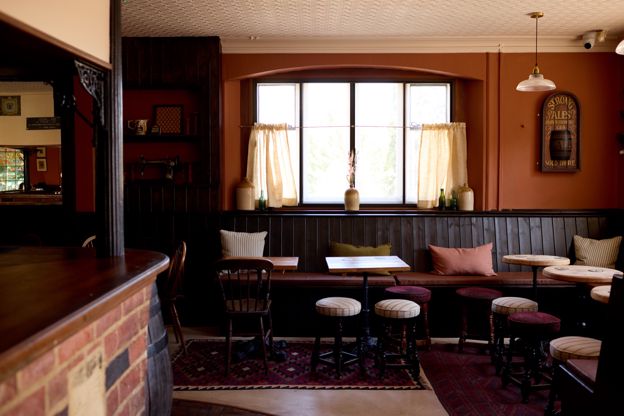
The Clothiers Arms
Inn · Stroud
A pub with seven rooms at the bottom of Rodborough Hill in Stroud, a pub since 1891, with a beer garden, an adventure play area next door and a family suite.
Family-friendly · Car-free
Verified Nov 2026
-

The Prince Albert
Pubs · Stroud
A pub and music venue at the top of Rodborough Hill, Stroud, serving pizzas and burgers, where dogs on a short lead are welcome in the day.
Dog-friendly · Family-friendly
Verified Nov 2026
-
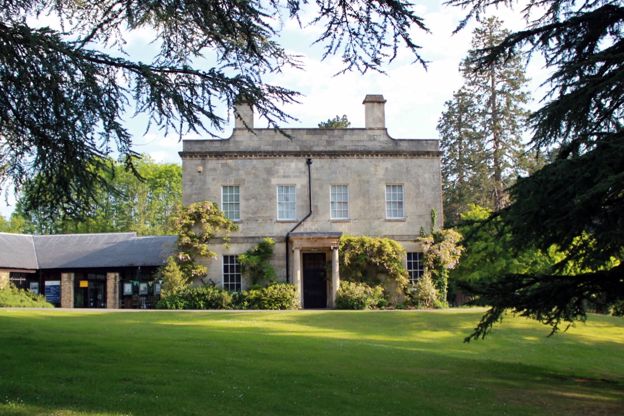
Museum in the Park
Museums and galleries · Stroud
Stroud's free museum in a seventeenth-century house in Stratford Park, with a walled garden and a café, closed on Mondays and for a few weeks in winter.
Rainy days · Car-free · Family-friendly
Verified Oct 2026
Stories about River Frome, Stroud
-
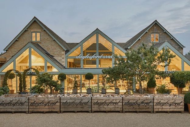
Cotswold food and drink: farm shops, breweries, distilleries and markets
Story · Guides · 10 minute read
What the Cotswolds make and where to buy it: Cotswold lamb, the Gloucester cheeses, Donnington and Uley beer, whisky from Stourton, wine from Woodchester Valley, the farm shops, the markets at Stroud, Moreton and Cirencester, and the tastings worth booking.
More sights to see
-
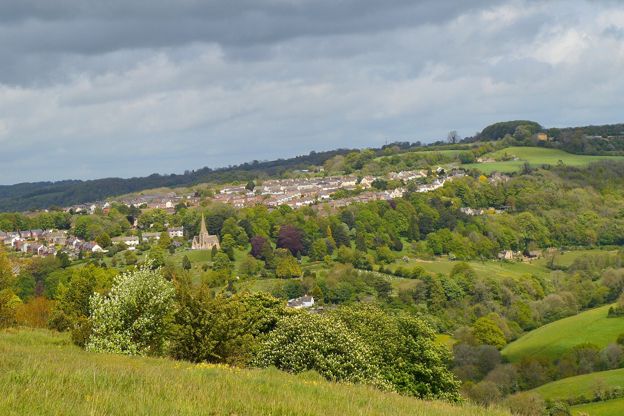
Rodborough Common
Sight · Common or park · Stroud and the Five Valleys
Open limestone grassland on the hill between Stroud and the Golden Valley, owned by the National Trust, known for rare pasqueflowers in spring, early purple orchids in May and over 30 kinds of butterfly, grazed by commoners’ cattle, with Rodborough Fort on its brow.
-
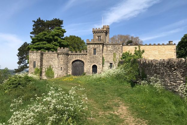
Rodborough Fort
Sight · Historic building · Stroud and the Five Valleys
Rodborough Fort is a battlemented house on the brow of Rodborough Common above Stroud, begun as a folly for Captain Hawker in 1761 and enlarged in 1870 with a four-storey tower, turreted curtain walls and a small chapel. Grade II; a private house, seen from the common.
-
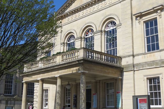
Subscription Rooms, Stroud
Sight · Historic building · Stroud
Stroud's Subscription Rooms on George Street, paid for by public subscription in 1833 and now an arts venue run by a charity: a pedimented stone front with a carriage porch and balcony, where election results were once read out, and a bar open daily.