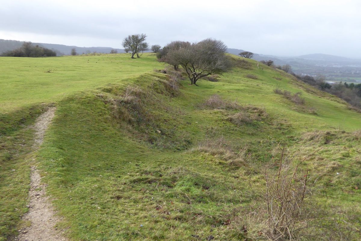
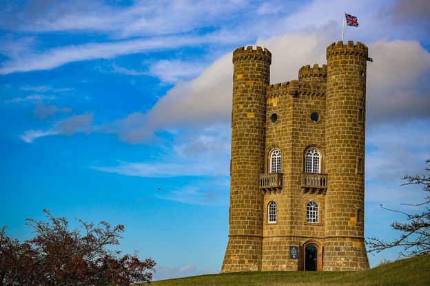
Chris Gorringe, CC BY-SA 2.0, via Wikimedia Commons
The Cotswold Edge
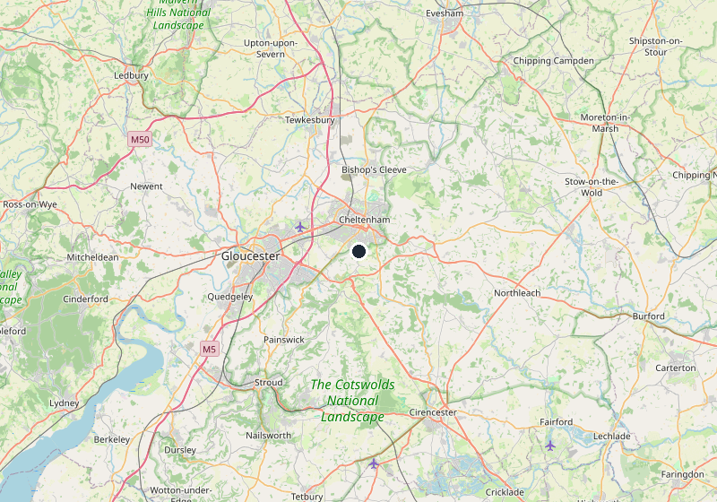
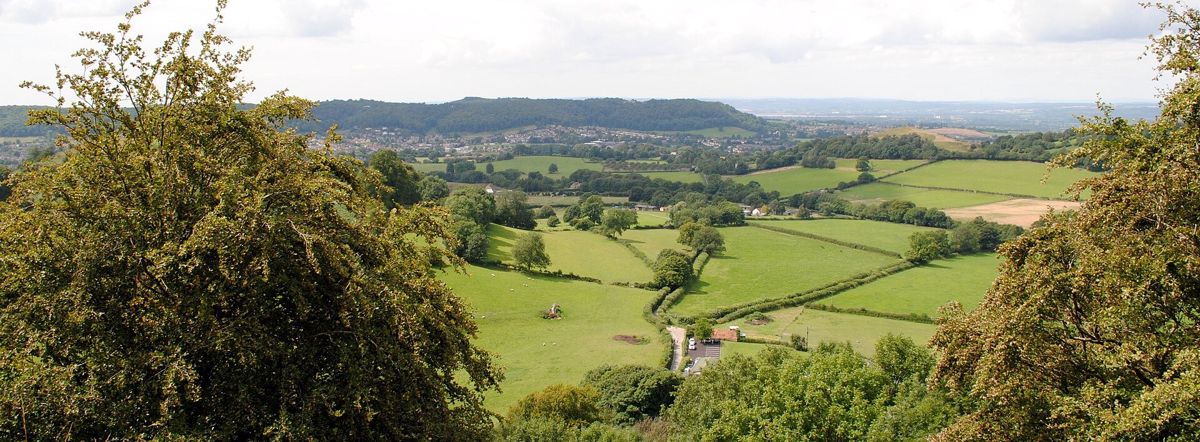
The western escarpment, where the wolds end in a wooded edge above the Severn vale: Winchcombe and Sudeley, Belas Knap, Cleeve Hill and the Cotswold Way along the top.
- Nearest station
- Cheltenham Spa, then the 606 bus to Winchcombe
- Best time
- Spring to autumn for walking; May for the walking festival (21 to 23 May 2027)
- When it's busy
- Winchcombe over the walking festival weekend in May, and the racecourse below Cleeve Hill in Cheltenham Festival week in March
About the Cotswold Edge
Along their western side the Cotswolds end in a steep escarpment, the Edge, looking out over the Severn vale. The Cotswold Way follows it for much of its 102 miles, and at Cleeve Hill, 330m up, it crosses the highest ground in the Cotswolds and reaches the highest point on the whole trail. This is walking country, with a castle, an abbey ruin and a Neolithic tomb along the way.
Where the Edge begins and ends
The Edge is the escarpment itself and the villages at its foot, from Stanton and Stanway in the north, past Winchcombe and over Cleeve Hill, Leckhampton Hill and Crickley Hill above Cheltenham, to the southern Edge beyond Stroud at Dursley, Uley, North Nibley, Wotton-under-Edge and Hawkesbury Upton. Above Cheltenham the Five Valleys cut into it round Painswick, so we treat them apart. North of Stanton the hills belong to the North Cotswolds, and south of Hawkesbury the Cotswold Way runs on towards Bath through the South Cotswolds. Below the scarp is the Severn vale, with Cheltenham the gateway town, Gloucester the cathedral city and Tewkesbury the abbey town.
Winchcombe
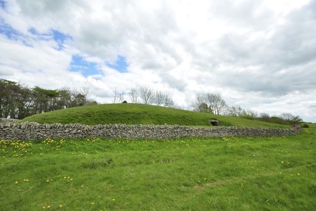
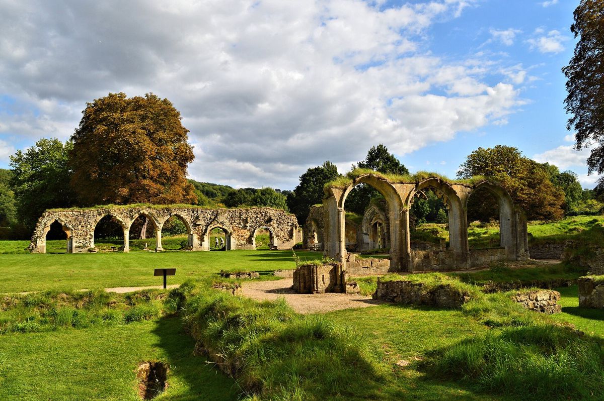
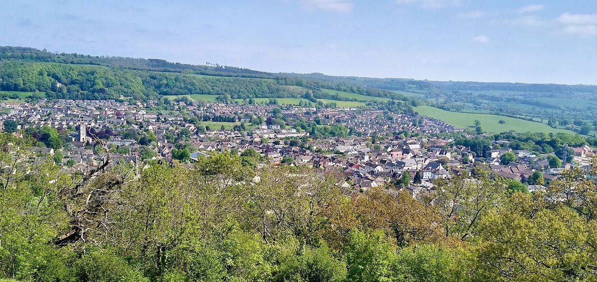
Winchcombe is the walkers' town of the Edge. Sudeley Castle, where Katherine Parr is buried, is on its doorstep; Hailes Abbey's ruins are 2 miles away and Belas Knap long barrow on the hill above. The Gloucestershire Warwickshire Railway's steam trains call at Winchcombe on their way between Cheltenham Race Course and Broadway. For a bed, see where to stay in Winchcombe. A dog-friendly weekend in the Cotswolds is based at an inn in Winchcombe that takes dogs in every room.
Wotton-under-Edge, at the southern end, is the other town on the trail: a small cloth town with almshouses of 1638, a Grade I church, free parking and the Tyndale Monument on the hill above. Dursley, the next town up the Edge, with Cam and Dursley station below it, is the walkers' stop between the two. Cheltenham is the gateway for both ends of the Edge, with the 606 bus to Winchcombe and the Festival racecourse under Cleeve Hill.
The villages
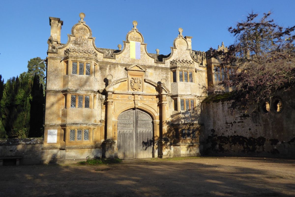
Stanton is the spring-line village Sir Philip Stott restored from 1906, one street under the hill with a Grade I church and the Mount Inn at the top. Stanway, under 2 miles on, has the Jacobean Stanway House, whose fountain, opened in 2004 and about 92m high, is the tallest in Britain; house and fountain open on Tuesday and Thursday afternoons in June, July and August. Nearby is the viaduct the steam trains cross. Hailes has the abbey, a twelfth-century church older than it, painted with beasts and a giant St Christopher, and Hayles Fruit Farm for cider and pick your own. Cleeve Hill is the village on the common, with a hotel on the Cotswold Way. Two miles south of Broadway, at the foot of the escarpment, Laverton and Buckland are two hamlets: Buckland has a Grade I church full of old woodwork and a manor that is now a hotel.
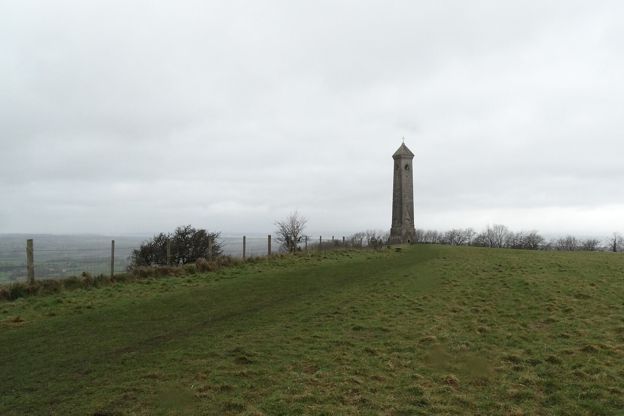
On the southern Edge, Uley has its own brewery, founded in 1833, and Hetty Pegler's Tump, a Neolithic long barrow 37m long that you can crawl into with a torch, free, on the hill above. North Nibley is the village under the Tyndale Monument, the tower of 1866 to William Tyndale, generally open to visitors; if it is locked, the notice board says where in North Nibley to find the key. Hawkesbury Upton has the Somerset Monument of 1846 on the Cotswold Way, and from there the trail drops to Old Sodbury and Chipping Sodbury.
Sights worth a detour
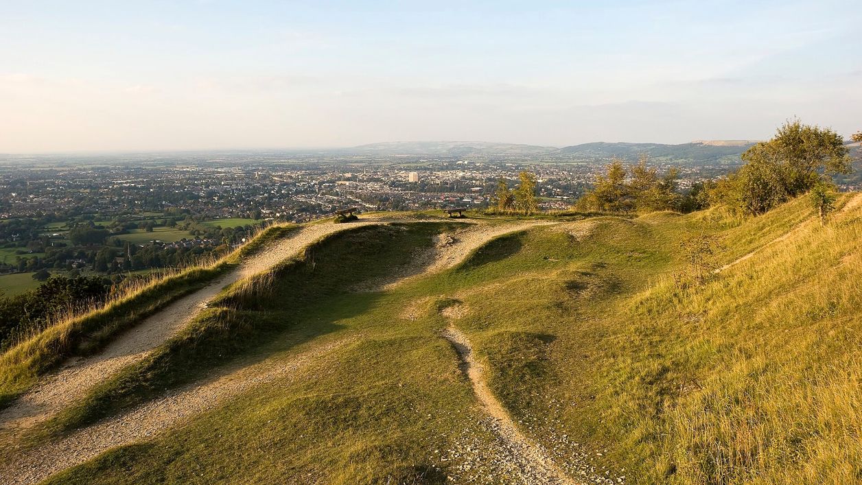
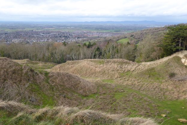
The Edge is thick with hillforts and towers. Cleeve Common, Gloucestershire's largest common, holds the highest point of the Cotswolds at 330m, Cleeve Hill camp on the cliff top and a topograph by the trig point on the edge of the escarpment. Leckhampton Hill has the Devil's Chimney below its edge, and Crickley Hill a Neolithic settlement destroyed in battle. Sudeley Castle and Belas Knap are Winchcombe's, and Beckbury Camp above Hailes has a nineteenth-century monument called Cromwell's Seat, where, the story goes, Thomas Cromwell watched the abbey burn. The Gloucestershire Warwickshire Railway runs 14 miles under the Edge from Cheltenham Race Course to Broadway.
Walking the Edge
From Winchcombe the Cotswold Way climbs to Belas Knap and on to Cleeve Hill, 5.6 miles. The Winchcombe Way is a 42-mile figure of eight through the hills around the town, and the Winchcombe Cotswolds Walking Festival brings three days of guided walks each May (21 to 23 May in 2027). Our long walks include day loops on the edge above Winchcombe and Wotton, and our half-day walks the shorter ones. Below Cleeve Hill, Cheltenham Racecourse holds the Cheltenham Festival, four days of jump racing each March with the Gold Cup on the Friday. For the views from the top, see the best viewpoints in the Cotswolds.
Further south, Wotton Hill and the Tyndale Monument is an easy ridge walk of about 3.5 miles (5.8km), and Wotton-under-Edge and the Cotswold Way climbs a steep gully on the Cotswold Way before dropping back into the town. Above Cheltenham, Leckhampton Hill and the Devil's Chimney and Cleeve Common and Cleeve Cloud are each about 4 miles, and Hailes and Beckbury Camp starts at the fruit farm. The Cotswold Way itself is in 15 sections, and the Winchcombe to Cleeve Hill stage is the one with the climb.
Eating and staying
Winchcombe has the beds: the White Hart and the Lion Inn on the High Street and North Street, Sudeley Castle Cottages on the estate with castle entry in season, and North Farmcote for a farmhouse above the town. The Pheasant Inn at Toddington serves Donnington ales, and in Wotton the Royal Oak is the pub and kitchen on Haw Street. Where to stay in Winchcombe has the full list, and pub walks the ones that end at a bar. Above Cheltenham, the Crickley Hill café feeds walkers on the Cotswold Way every day, the Royal George at Birdlip has 34 bedrooms, and below Leckhampton Hill the Wheatsheaf is a family-run Wadworth pub.

The Cotswolds Info newsletter
Events, new places and the best of the season, about once a month. Unsubscribe at any time.
Getting there and around
Cheltenham Spa is the station, about two hours direct from London Paddington and 38 minutes from Bristol. Pulhams' 606 leaves Pittville Street in the town centre for Winchcombe, about 48 minutes, roughly hourly from Monday to Saturday, and five a day go on by the Stanton turn and Broadway to Chipping Campden. Stagecoach's W also runs from Cheltenham to Winchcombe by Cleeve Hill, about hourly. There is no Sunday bus to Winchcombe, and the last 606 back from Campden leaves at 5.19pm. For the southern Edge, Cam and Dursley station is on the Bristol to Gloucester line, and from Dursley bus station Stagecoach's 60 runs by North Nibley to Wotton about every two hours from Monday to Saturday. The Robin minibus, booked ahead, covers Winchcombe and Stanway from 7am to 7pm, Monday to Saturday. Getting here and the buses page have the times, and the Cotswolds without a car the stations for walkers.
When to come and where it is busiest
The Edge is never crowded the way Bourton is, but it has two busy moments: the Winchcombe walking festival in May, and Cheltenham Festival week in March, four days of jump racing at the foot of Cleeve Hill. Sudeley opens from spring to autumn, Hailes Abbey for tours on the first weekend of each month, which can be booked ahead, and the steam trains run from spring to late autumn, with Santa and festive trains in December. The quiet corners are Hailes and Stanway on a weekday, and the whole southern Edge from Uley to Hawkesbury, where the only people on the trail are walking it. On the spring bank holiday Monday, Cooper's Hill Cheese Rolling sends runners after a Double Gloucester down the hill near Brockworth; it has been unofficial since 2010, with no organiser and no parking laid on, and you go at your own risk.
Last verified 28 October 2026 by our editors
Places in the Cotswold Edge
-
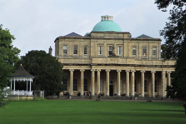
Cheltenham
Gateway · The Cotswold Edge
The Regency town under the escarpment and the best bus gateway to the Cotswolds: the 801 to Bourton and Stow every day, the 606 to Winchcombe, the X52 to Burford, Cleeve Hill and Leckhampton above the rooftops, and a racecourse that fills every bed in March.
-
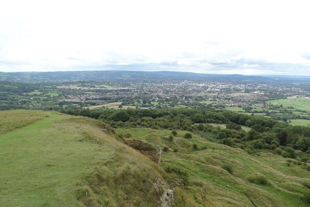
Cleeve Hill
Village · The Cotswold Edge
The village on the B4632 under Cleeve Common, between Cheltenham and Winchcombe: two hotels, a golf club on the common and the highest ground in the Cotswolds above, where one Cotswold Way stage ends and the next begins.
-
Dursley
Market town · The Cotswold Edge
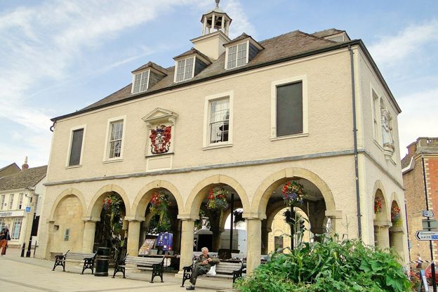
A small working town in a wooded valley below the escarpment, halfway between Gloucester and Bristol, where the Cotswold Way passes a market house of 1738. Free car parks, a heritage centre, Stinchcombe Hill above, and a railway station 2 miles out.
-
Gloucester
Gateway · The Cotswold Edge
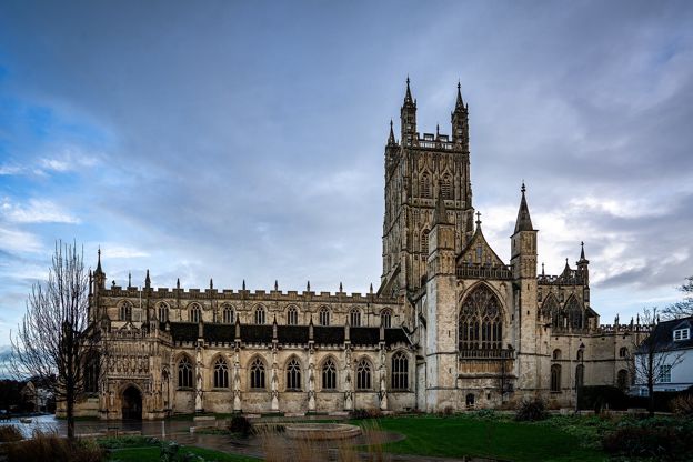
The cathedral city on the Severn below the Cotswold edge: fan-vaulted cloisters that stood in for Hogwarts, Victorian docks, a mainline station, the 63 bus to Stroud and the hills at Painswick Beacon and Cooper's Hill a few miles up the road.
-
Hailes and Didbrook
Village · The Cotswold Edge
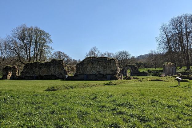
Two hamlets under the escarpment north-east of Winchcombe: the ruins of Hailes Abbey, a painted twelfth-century church across the lane, a fruit farm with a café, a halt on the steam railway, and the Cotswold Way climbing to Beckbury Camp.
-
Hawkesbury Upton
Village · The Cotswold Edge
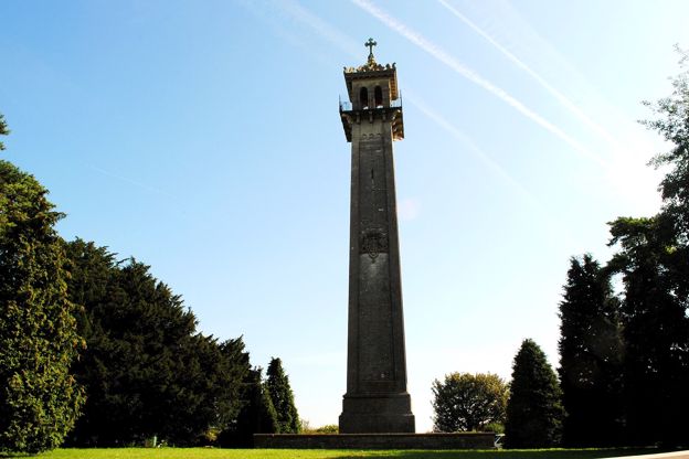
A village on top of the southern Cotswold edge where two stages of the Cotswold Way meet, with the Somerset Monument of 1846 on the lane north, an old drovers' pond, a pub said to date from 1602 and Horton Court 3 miles south.
-
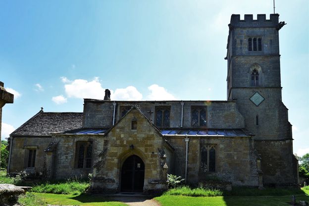
Laverton and Buckland
Village · The Cotswold Edge
Two hamlets at the foot of the escarpment 2 miles south of Broadway: Buckland, with a Grade I church full of old woodwork, a fifteenth-century rectory and a manor that is now a hotel, and Laverton's stone farmhouses. The Cotswold Way runs above.
-
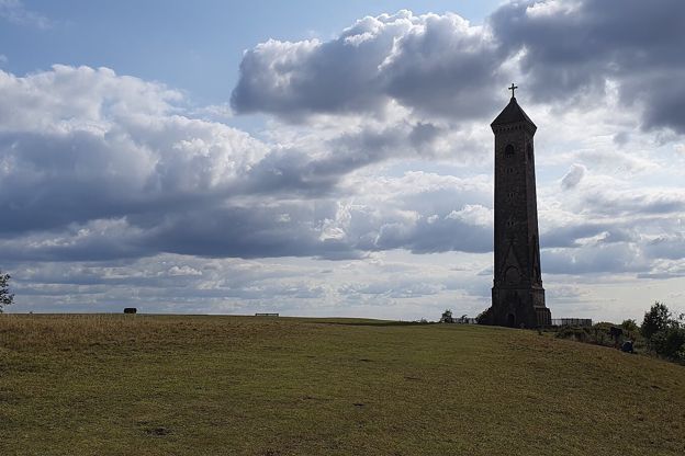
North Nibley
Village · The Cotswold Edge
The village under the Tyndale Monument, between Wotton-under-Edge and Dursley on the Cotswold Way: a tower you can climb for free, a church on a hill with a tower of 1632, a Grade II inn and the field where the last private battle in England was fought in 1470.
-
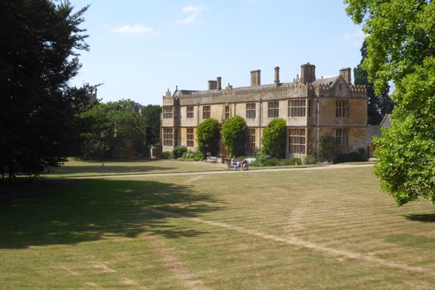
Stanway
Village · The Cotswold Edge
An estate village at the foot of the escarpment between Stanton and Winchcombe, with a Jacobean manor that opens two afternoons a week in summer, a fountain about 92m high, a fourteenth-century tithe barn and a thatched cricket pavilion on staddle stones.
-
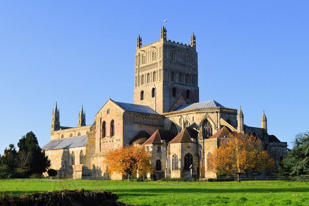
Tewkesbury
Gateway · The Cotswold Edge
The abbey town where the Avon meets the Severn, 8 miles from Winchcombe: the largest Norman tower in England, the battlefield of 1471 and its medieval festival each July, Ashchurch station and the 40 bus, the 42 to Cheltenham, and the Cotswold edge at Bredon Hill and Cleeve.
-
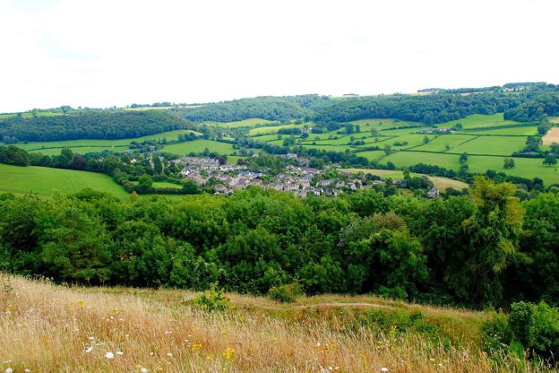
Uley
Village · The Cotswold Edge
A former cloth village in a wooded valley below the escarpment between Dursley and Stroud, with an Iron Age hillfort on the hill above, a Neolithic long barrow you can crawl into, a brewery founded in 1833 and an old coaching inn on the green.
-
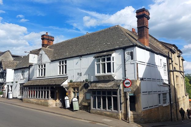
Winchcombe
Market town · The Cotswold Edge
A walkers' town below the escarpment, with Sudeley Castle and Katherine Parr's tomb, the ruins of Hailes Abbey, Belas Knap on the hill and a steam railway.
-
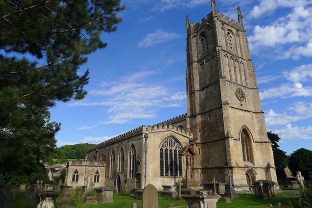
Wotton-under-Edge
Market town · The Cotswold Edge
A small cloth town tucked under the escarpment on the Cotswold Way, with almshouses, a Grade I church, council car parks with no published charge and the Tyndale Monument on the hill.
Things to do in the Cotswold Edge
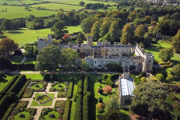
Historic houses and heritage · Winchcombe
Sudeley Castle and Gardens
A castle on the edge of Winchcombe where Katherine Parr, Henry VIII's last queen, is buried, with gardens, a Tudor history and the Dent family's home.
-
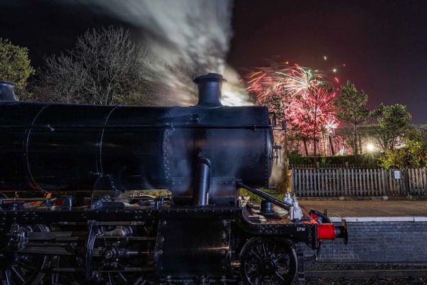
Gloucestershire Warwickshire Steam Railway
Family days out · Winchcombe
A heritage railway running steam and diesel trains for 14 miles between Cheltenham Race Course and Broadway, by Winchcombe and Toddington.
Family-friendly · Dog-friendly · Rainy days
Verified Oct 2026
-
Hailes Abbey
Historic houses and heritage · Winchcombe
The ruins of a Cistercian abbey near Winchcombe, founded in 1246, once a place of pilgrimage, now open for booked tours on the first weekend of each month.
Walker-friendly
Verified Nov 2026
-
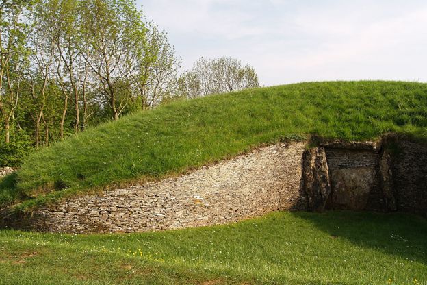
Belas Knap Long Barrow
Historic houses and heritage · Winchcombe
A Neolithic long barrow on the hill above Winchcombe, with a false entrance and side chambers, free to visit and on the Cotswold Way.
Walker-friendly
Verified Oct 2026
Where to stay in the Cotswold Edge
-
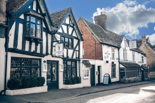
The White Hart Inn
Inn · Winchcombe
An inn with sixteen rooms on Winchcombe's High Street, with dog-friendly rooms and a restaurant and bar open all day to non-residents.
Dog-friendly · Wedding venues · Walker-friendly
Verified Nov 2026
-
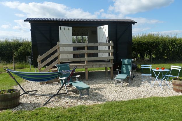
Elms Farm
B&B · Winchcombe
A converted freight wagon and five Caravan and Motorhome Club pitches on a working farm at Gretton, about two miles north-west of Winchcombe.
Verified Oct 2026
-
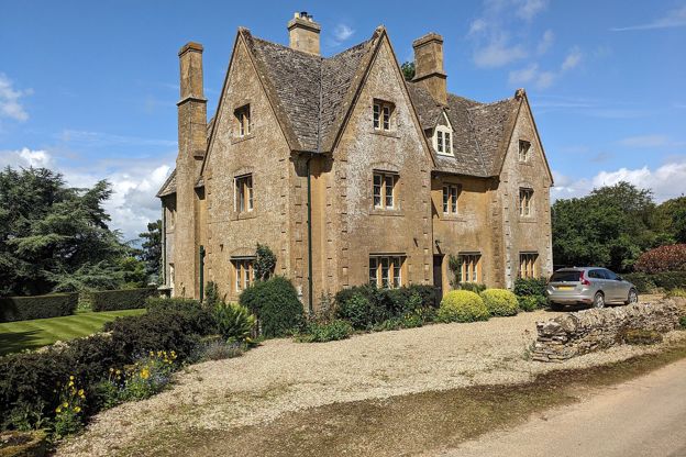
North Farmcote
B&B · Winchcombe
Bed and breakfast in a farmhouse above Winchcombe, built around 1840, its owners say, as a dower house for Lord Sudeley's mother.
Walker-friendly
Verified Oct 2026
-
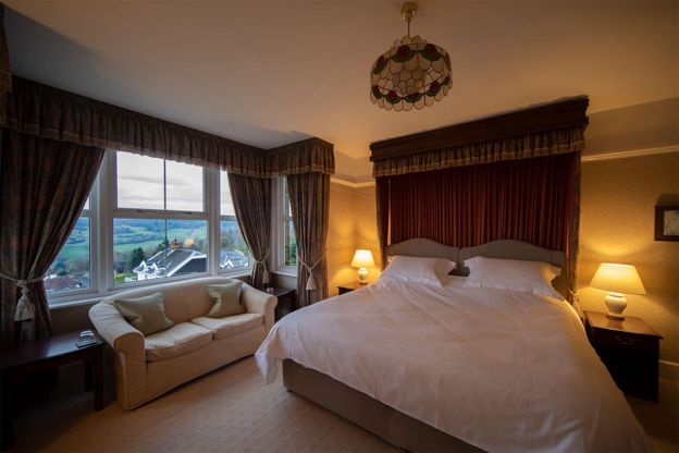
Cleeve Hill Hotel
B&B · Winchcombe
A 12-room bed and breakfast hotel on Cleeve Hill, about three miles south-west of Winchcombe, with views over the Severn Vale and a door onto Cleeve Common and the Cotswold Way.
Walker-friendly · Dog-friendly
Verified Oct 2026
-
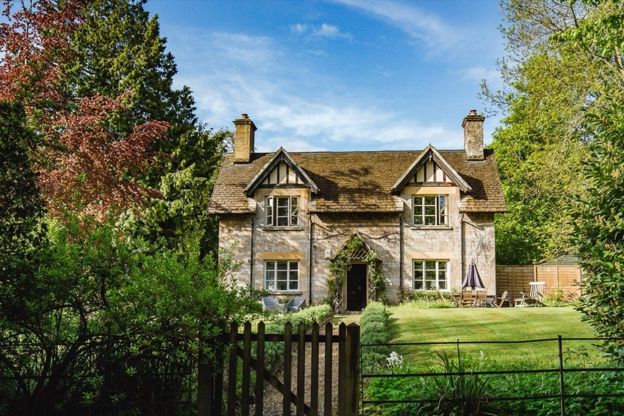
Sudeley Castle Cottages
Self-catering · Winchcombe
Nineteen holiday cottages on the Sudeley Castle estate at Winchcombe, sleeping three to fourteen, some dog-friendly, with free castle entry in season.
Dog-friendly
Verified Nov 2026
-
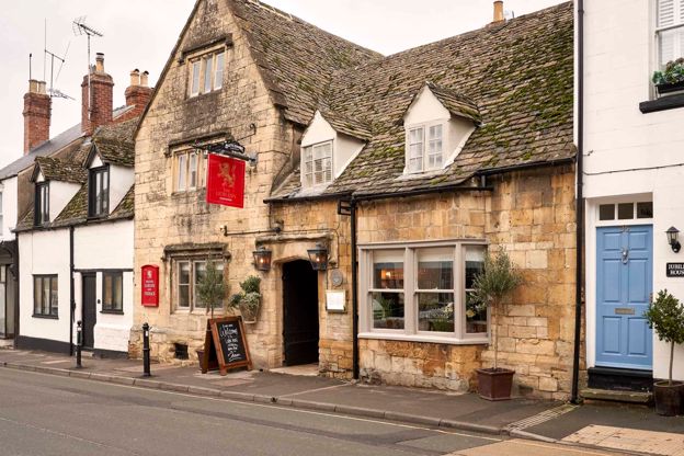
The Lion Inn
Inn · Winchcombe
A restored fifteenth-century coaching inn on North Street, Winchcombe, with nine rooms, run by Butcombe.
Dog-friendly · Walker-friendly
Verified Oct 2026
Where to eat and drink in the Cotswold Edge
-
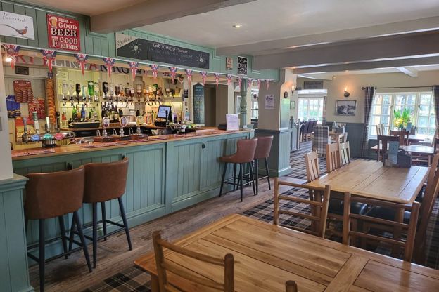
The Pheasant Inn
Pubs · Winchcombe
A traditional Cotswold inn at Toddington, about 3 miles north of Winchcombe, with homemade food, Donnington ales and a beer garden.
Family-friendly
Verified Oct 2026
-
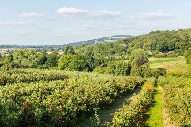
Hayles Fruit Farm
Farm shops and delis · Winchcombe
A fruit farm at Hailes, about 3 miles by road from Winchcombe, with a farm shop, the Orchard Kitchen tearoom, pick your own and its own Hayles cider.
Family-friendly · Walker-friendly
Verified Nov 2026
-
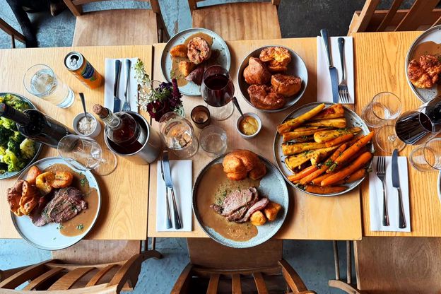
The Royal Oak, Wotton-under-Edge
Pubs · Wotton-under-Edge
A neighbourhood pub and kitchen on Haw Street, Wotton-under-Edge, serving pub classics from South West producers, open Tuesday to Sunday from midday.
Family-friendly
Verified Oct 2026
-
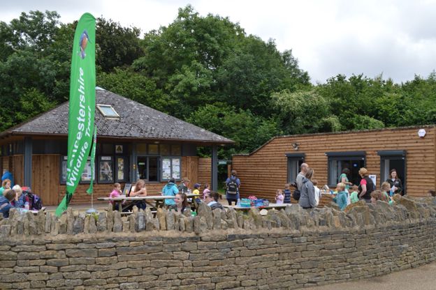
Crickley Hill café
Cafes and tearooms · The Cotswold Edge
Gloucestershire Wildlife Trust's café by the top car park at Crickley Hill Country Park, near Birdlip, on the Cotswold Way: breakfast, lunch and cakes, dogs welcome.
Dog-friendly · Walker-friendly · Family-friendly
Verified Nov 2026
-
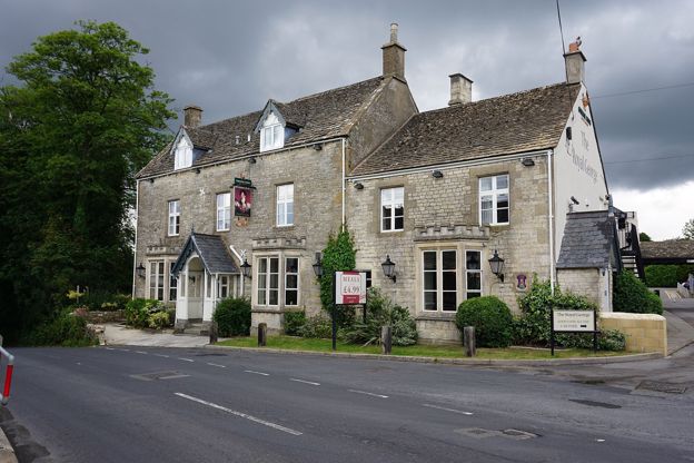
The Royal George Hotel
Pubs · The Cotswold Edge
An eighteenth-century inn in Birdlip, run by Greene King Inns, with a bar and restaurant of pub classics, a large beer garden and 34 bedrooms, where the Cotswold Way sections from Leckhampton Hill and to Painswick meet.
Dog-friendly · Walker-friendly · Family-friendly
Verified Oct 2026
-
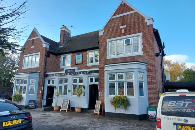
The Wheatsheaf, Leckhampton
Pubs · The Cotswold Edge
A family-run Wadworth pub on Old Bath Road in Leckhampton, below Leckhampton Hill, which Wadworth lists with a large garden, a heated patio, Sunday roasts and jazz and blues nights.
Dog-friendly · Family-friendly
Verified Nov 2026
Walks in and around the Cotswold Edge
-
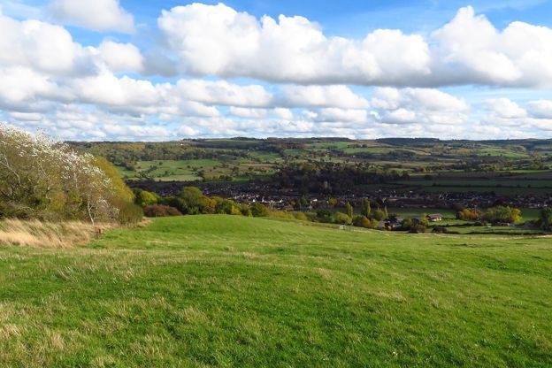
Winchcombe and Belas Knap
Walk · Starts in Winchcombe · 2 hrs, 45 mins · Circular
A 5.5-mile (8.8km) moderate loop of two to two and three quarter hours from Winchcombe, up the Cotswold Way and through the woods to Belas Knap, the Neolithic long barrow, then home on the Winchcombe Way by Wadfield Farm and Sudeley, with two stiles and a narrow road.
-
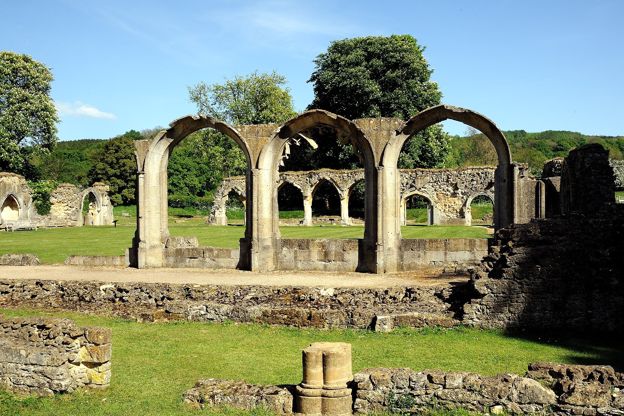
Hailes and Beckbury Camp
Walk · Starts in Winchcombe · 2 hrs, 15 mins · Circular
A 3.5-mile (5.6km) circular walk from Hayles Fruit Farm, moderate and about two and a quarter hours: up the monks' track to Beckbury Camp, down the edge of a wood over three stiles towards Wood Stanway, and back past Hailes church and the abbey ruins.
-
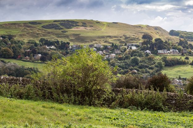
Winchcombe, Belas Knap and Cleeve Common
Walk · Starts in Winchcombe · 4 hrs, 15 mins · Circular · Dog-friendly
A 9.2-mile (14.8km) moderate loop of four to four and a half hours from Winchcombe: up the Cotswold Way through the Sudeley estate to Belas Knap, west along the byways to the top of Cleeve Common, then down by Postlip's Norman chapel and Breakheart Plantation.
Sights in and around the Cotswold Edge
-
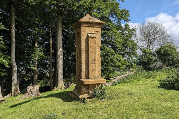
Beckbury Camp, Hailes
Sight · Hill fort or barrow · Winchcombe
An Iron Age hillfort on the Cotswold edge above Hailes, near Winchcombe, its bank still up to 4m high, with the nineteenth-century monument called Cromwell's Seat, where the story goes that Thomas Cromwell watched Hailes Abbey burn. On the Cotswold Way.
-
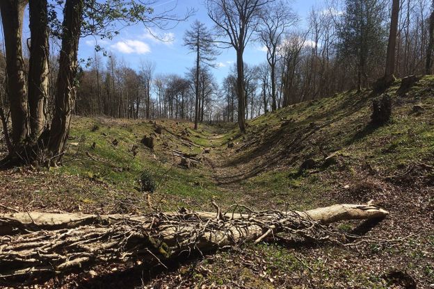
Brackenbury Ditches hill fort
Sight · Hill fort or barrow · Wotton-under-Edge
Brackenbury Ditches is an Iron Age hill fort in Westridge Wood on a spur of the Cotswold Edge above North Nibley, with a great inner rampart 3m high and a ditch 14m wide, unexcavated when surveyed in 1976 and now among the trees. Beside public footpaths through the wood.
-
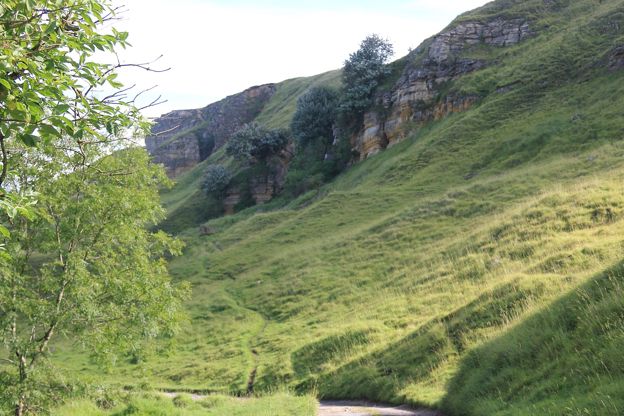
Cleeve Hill camp
Sight · Hill fort or barrow · The Cotswold Edge
Cleeve Hill camp is a small Iron Age hillfort of about 500 BC on the cliff top at Cleeve Cloud, above Cheltenham, with two rings of rampart up to 2.5m high and the scarp as its western wall. Cut by quarries and a golf course, it is a scheduled monument on Cleeve Common.
-
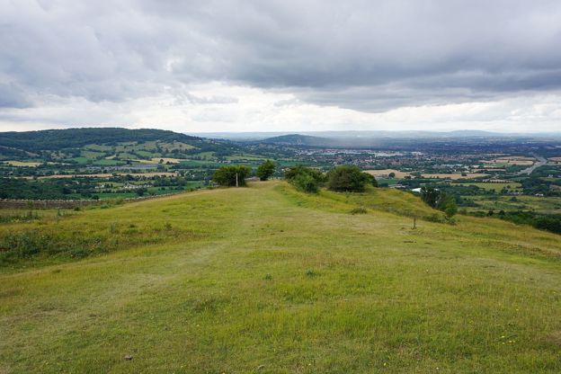
Crickley Hill
Sight · Common or park · The Cotswold Edge
Crickley Hill is a Cotswold Edge promontory near Birdlip, cared for by Gloucestershire Wildlife Trust and the National Trust, where 25 years of digging found a Neolithic settlement destroyed in battle and an Iron Age hillfort. Grassland, beech wood, a café and views to Wales.
-
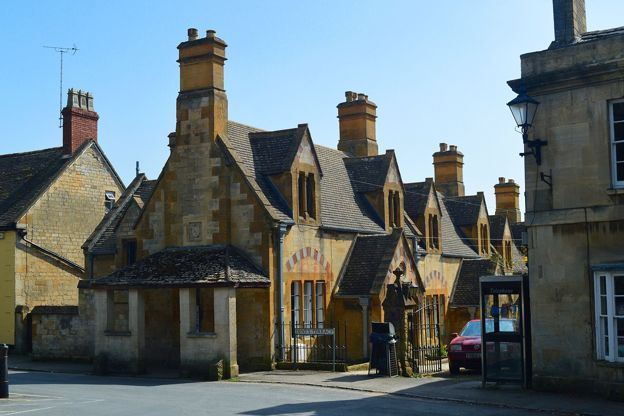
Dent's Terrace, Winchcombe
Sight · Historic building · Winchcombe
A row of ten almshouses of 1865 on Abbey Terrace, Winchcombe, by Sir George Gilbert Scott and J Drayton Wyatt for John and Emma Dent of Sudeley Castle: cream, yellow and pink stone under stepped gables. Grade II.
-
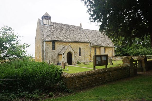
Hailes Church
Sight · Church · Winchcombe
A little twelfth-century church at Hailes, near Winchcombe, older than the abbey across the lane, with fourteenth-century paintings of heraldry and beasts, a giant St Christopher, medieval tiles and screen, and seventeenth-century pews. Grade I.
Stories about the Cotswold Edge
-
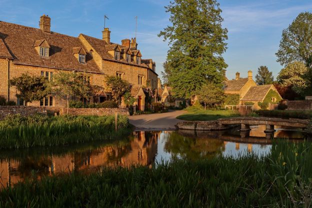
Cotswolds itineraries: one day to a week
Story · Guides · 12 minute read
Cotswolds itineraries from one day to a week: how many days you need, a day by car or by train, two days in the north, three days north to south, five days across two regions, a week with two bases or on the Cotswold Way, and themed weekends for gardens, walks, dogs and winter.
-
The best viewpoints in the Cotswolds
Story · Guides · 11 minute read
The best viewpoints in the Cotswolds, from Broadway Tower, Dover's Hill and Cleeve Hill to Haresfield Beacon, Crickley Hill and the Tyndale Monument: what you see from each, where to park and the walk that gets you there.
Getting to the Cotswold Edge