Tim Marshall, CC BY-SA 2.0, via Wikimedia Commons
Cleeve Common and Cleeve Cloud
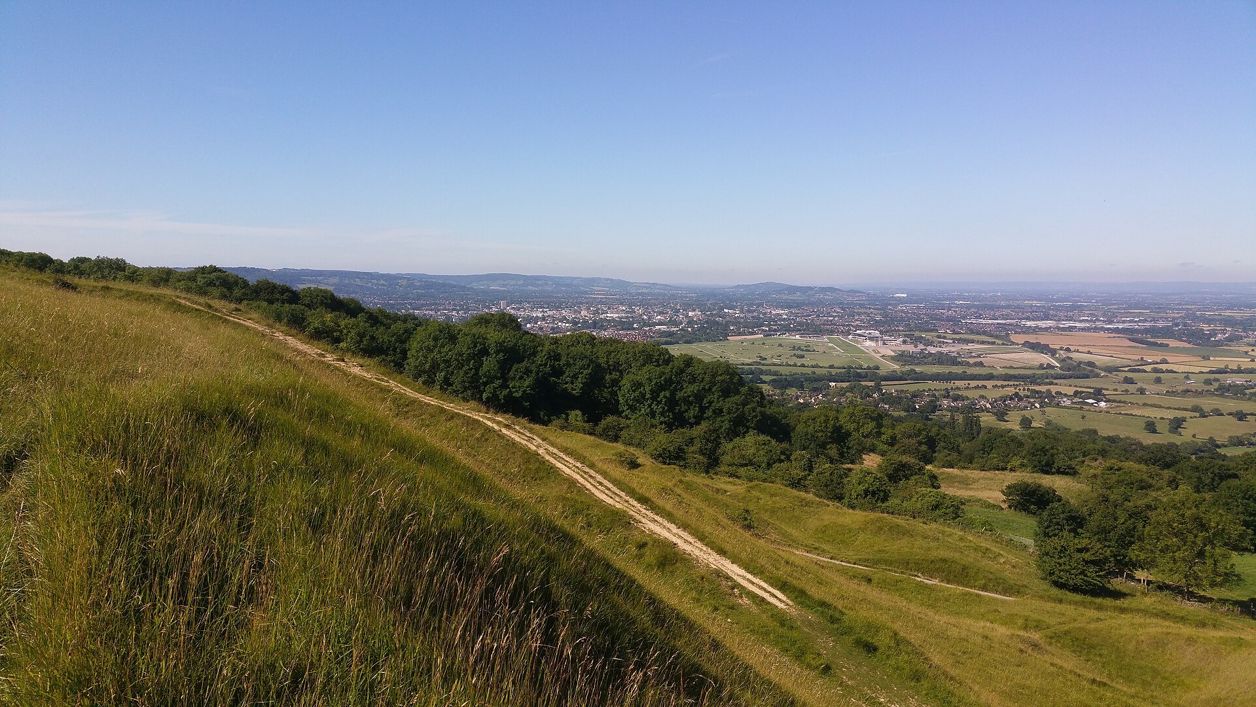
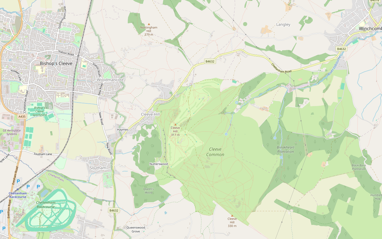
A 4-mile (6.4km) moderate loop of about an hour and three quarters on the highest ground in the Cotswolds: from the main road at Cleeve Hill past the golf club, across Cleeve Common, back along the scarp by the hill fort and Cleeve Cloud, and down through Thrift Wood.
- Distance
- 6.4 km (4.0 mi)
- Difficulty
- Moderate
- Time
- 1 hr, 45 mins
- Ascent
- 178 m
- Circular
- Circular
The route
Starts at Lay-by on the B4632 at Cleeve Hill Livestock in fieldsDogs on lead near sheepSteep sectionMuddy in winterCafé on route Download GPX
Step by step
-
Step 1: Up to the golf club
From the lay-by, take the path up from the road to the restricted byway and follow it north-east on to the common, past the golf clubhouse and its café and the quarry car park, about 600m.
- Steep section
- Café
-
Step 2: Across the common
Keep on along the byway, then the footpaths east and down across the common for about 1.5km, crossing the golf course with care, and climb gently back up to the main path.
- Dogs on lead
-
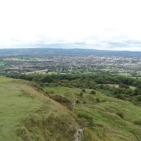
Step 3: Along the top
Follow the main path and the paths south-west along the top for about 1km, past the cross dyke and close to the ramparts of the hill fort, the highest part of the walk at about 320m.
- Dogs on lead
-
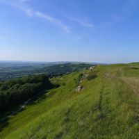
Step 4: Cleeve Cloud and Thrift Wood
Take the bridleway north along the scarp past Huddlestone’s Table and the cliffs of Cleeve Cloud, then the bridleway and restricted byway down past Thrift Wood, and follow the byway back to the road.
- Steep section
- Muddy in winter
Sights on the way
The sights this walk passes, numbered as on the map.
-

St James' Chapel, Postlip
Sight · Church · Winchcombe
St James' Chapel is a small Norman chapel of about 1140 beside Postlip Hall below Cleeve Common, with a chevron-carved doorway, used as a farm building for centuries and restored for Catholic worship in 1891. Grade I; seen from the Cotswold Way.
-
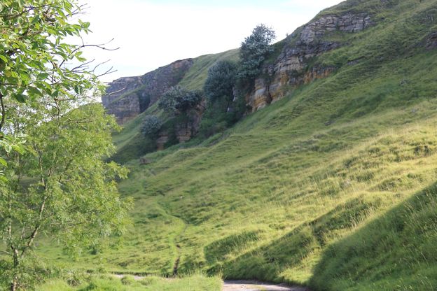
Cleeve Hill camp
Sight · Hill fort or barrow · The Cotswold Edge
Cleeve Hill camp is a small Iron Age hillfort of about 500 BC on the cliff top at Cleeve Cloud, above Cheltenham, with two rings of rampart up to 2.5m high and the scarp as its western wall. Cut by quarries and a golf course, it is a scheduled monument on Cleeve Common.
The walk in detail
The Cleeve Common and Cleeve Cloud walk is a 4-mile (6.4km) circular walk from the main road at Cleeve Hill across the highest ground in the Cotswolds, on top of the Cotswold Edge. It is moderate, with about 178m of climbing in short pulls, takes about an hour and three quarters, and passes the golf club café.
It reaches about 320m near the hill fort. The common is open ground with a golf course across it, cattle grazing all year and sheep from April to November, and the National Trail promises extensive views over Cheltenham and far beyond; the Cleeve Common Trust names the Malverns and the Black Mountains on a clear day.
The highest part of the Cotswold Way
The National Trail says that at Cleeve Hill walkers are on the highest part of the whole Cotswold Way, and the Cleeve Common Trust puts the top of the Cotswolds at 330m, at a trig point beyond the radio masts on Cleeve Common, which this loop does not visit. This loop shares the restricted byway by the golf clubhouse with the trail, where the trail’s section from Winchcombe ends at the golf clubhouse, and this walk crosses the golf course too.
Cleeve Hill camp and Cleeve Cloud
Near the high point of the walk the route passes close to Cleeve Hill camp, a hill fort of the kind Historic England calls a small multivallate hillfort. Historic England’s scheduling describes it on a promontory of the scarp in the area known as Cleeve Cloud, with the scarp itself forming its west side and two concentric ramparts elsewhere, each up to 9.1m wide and 2.5m high, with ditches. The interior is just under three hectares. There is no obvious entrance, because of later quarrying and the landscaping of a nineteenth-century golf course. Three tree-ring enclosures close by, once taken for watch towers, are post-medieval.
North of the fort the bridleway runs along the scarp past Huddlestone’s Table, a square block of stone at the foot of the cliff, and the cliffs that OpenStreetMap names Cleeve Cloud. The story goes that the stone marks a Saxon king’s farewell in 811, but the Cleeve Common Trust notes that the Huddlestone family did not come to Southam until the 1520s. Another scheduled earthwork, the Ring, is about 220m from the route near the end of the loop; the Trust describes it as a circular earthwork about 50m across, thought to be a Romano-British enclosure for animals.
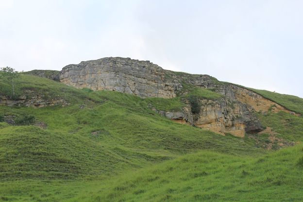
What walkers report
Walkers warn about the wind and say check the forecast, because the common is open and exposed, and the Cleeve Common Trust advises avoiding it in fog or low cloud. There is no shade, so take water in summer. The route drops steeply from the hill fort to the bridleway below the scarp, and the Trust asks walkers to take care on loose soil and stones.
Belted Galloway cattle graze the common all year in a fenceless paddock, and sheep from April to November. The Trust asks for dogs on a lead of no more than 2m from 1 March to 31 July, when skylarks nest on the ground, and on a short lead around livestock at any time. The route crosses the golf course, so watch for golfers. Many paths cross the common, so keep the map to hand, and walkers who want more of the view stay on the top longer than this route does.
The Cotswolds Info newsletter
Events, new places and the best of the season, about once a month. Unsubscribe at any time.
Parking, buses and food
The start is a lay-by on the B4632, a busy main road. The Quarry car park and the golf club car park cost £2 for 24 hours in 2026, paid on the Evology Pay app or at the machine outside the golf clubhouse, as there is no machine at the Quarry; parking is free with a £2 spend at Flynn’s on the Hill or the golf club that day, and the Trust lists free parking at the radio masts and the lay-bys near the top of Stockwell Lane. Stagecoach West’s W bus between Cheltenham and Winchcombe stops at Stockwell Lane beside the start, about hourly Monday to Saturday, with no Sunday service; our page on places to stay in Winchcombe covers the nearest town.
Flynn’s on the Hill at the golf clubhouse, near the start, is open to the public for brunch, lunch and coffee, with dogs welcome in the bar. The golf club lists it as open seven days a week for coffee, drinks and cakes, with its menu served Tuesday to Sunday; ring for the hours. The golf club has the only toilets on the common, reached by steps. The Cleeve Hill Hotel is a bed and breakfast beside the road at the end of the loop.
Longer walks on Cleeve Hill
For a whole day, our loop from Winchcombe crosses the common after visiting Belas Knap, and the Cotswold Way from Winchcombe ends at the golf club. Our guide to walking and the outdoors has more on the Cotswold Way, and our guide to the accessible Cotswolds lists Cleeve Common among the places where all-terrain mobility scooters can be used.
Places on the way
-
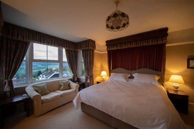
Cleeve Hill Hotel
B&B · Winchcombe
A 12-room bed and breakfast hotel on Cleeve Hill, about three miles south-west of Winchcombe, with views over the Severn Vale and a door onto Cleeve Common and the Cotswold Way.
Walker-friendly · Dog-friendly
Verified Oct 2026
Stay near the start
Inns, cottages and hotels within a short drive of where the walk begins, so you can set off early.
Where to stay in the Cotswold Edge-
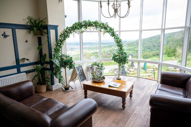
The Rising Sun Hotel
Hotel · Cleeve Hill
A Greene King Inns hotel, pub and restaurant with 23 bedrooms near the top of Cleeve Hill, with views over five counties from its beer garden.
Dog-friendly · Walker-friendly
Verified Nov 2026
-
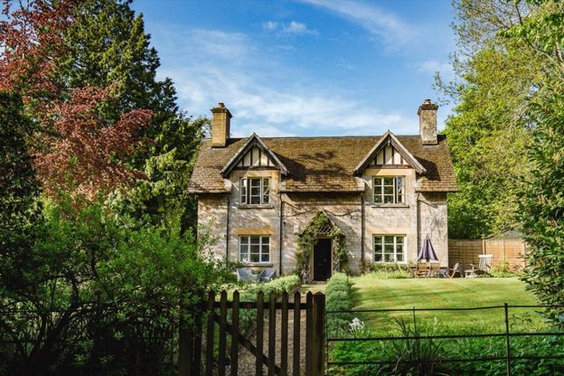
Sudeley Castle Cottages
Self-catering · Winchcombe
Nineteen holiday cottages on the Sudeley Castle estate at Winchcombe, sleeping three to fourteen, some dog-friendly, with free castle entry in season.
Dog-friendly
Verified Nov 2026
-
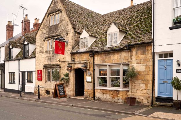
The Lion Inn
Inn · Winchcombe
A restored fifteenth-century coaching inn on North Street, Winchcombe, with nine rooms, run by Butcombe.
Dog-friendly · Walker-friendly
Verified Oct 2026
More like this
Stories on this walk
-
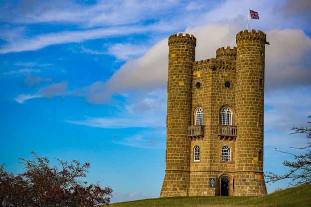
The best viewpoints in the Cotswolds
Story · Guides · 11 minute read
The best viewpoints in the Cotswolds, from Broadway Tower, Dover's Hill and Cleeve Hill to Haresfield Beacon, Crickley Hill and the Tyndale Monument: what you see from each, where to park and the walk that gets you there.
-
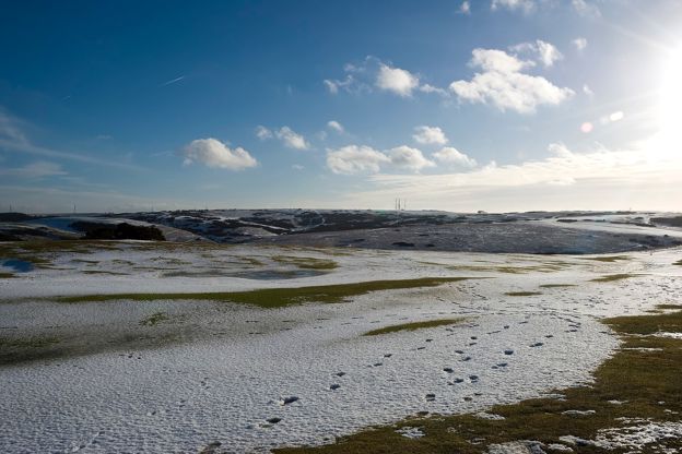
The Cotswolds in January
Story · Guides · 8 minute read
The Cotswolds in January: the quietest month, with frost on the wolds, the first snowdrops at Colesbourne and Painswick, wassails, New Year's Day racing, what is open and shut, four winter walks and the pubs with fires.
More walks to try
-

The Cotswold Way
Walk · Dog-friendly
The Cotswold Way is a 102-mile (164km) National Trail walk from Chipping Campden to Bath along the escarpment, in 15 sections; the official guidebook suggests seven to ten days, and its frequent steep climbs make it hard going.
-
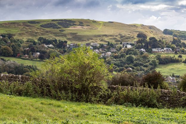
Winchcombe, Belas Knap and Cleeve Common
Walk · Starts in Winchcombe · 4 hrs, 15 mins · Circular · Dog-friendly
A 9.2-mile (14.8km) moderate loop of four to four and a half hours from Winchcombe: up the Cotswold Way through the Sudeley estate to Belas Knap, west along the byways to the top of Cleeve Common, then down by Postlip's Norman chapel and Breakheart Plantation.
-
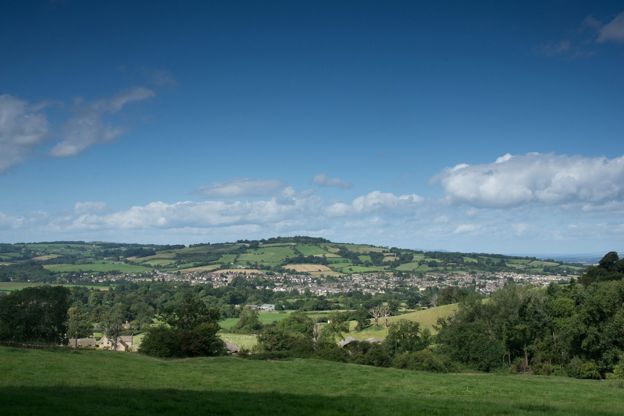
Cotswold Way: Winchcombe to Cleeve Hill
Walk · Starts in Winchcombe · 2 hrs, 45 mins · Dog-friendly
A 5.6-mile (9km) one-way walk on the fourth section of the Cotswold Way, moderate and two and a half to three hours: from Winchcombe by Sudeley up to Belas Knap, down through Breakheart Plantation to Postlip's Norman chapel, then up to the golf club on Cleeve Hill.