Walking, cycling and the outdoors in the Cotswolds
The Cotswolds are made for walking, and a growing network of cycle routes follows the valleys and the railway. Here is where to start.
· 5 minute read
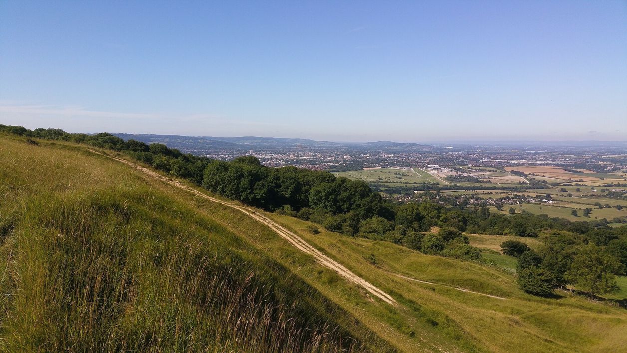
The Cotswolds are best seen slowly, on foot or by bike.
The Cotswold Way
The Cotswold Way National Trail runs 102 miles (164km) from Chipping Campden to Bath, and takes seven to ten days to walk end to end (opens in a new tab) by the official guidebook’s reckoning. It has been a promoted long-distance walk for more than fifty years and is well waymarked with the National Trail acorn. It crosses Cleeve Hill, whose common near Winchcombe rises to 330m, the highest ground in the Cotswolds.
You do not have to walk it all. The Cotswolds National Landscape publishes a series of circular walks that use short stretches of the Way, from Chipping Campden, Broadway, Stanton, Wotton-under-Edge and Old Sodbury among others, each linked from our place guides.
Other long walks
The Wardens' Way and the Windrush Way link Bourton-on-the-Water with Winchcombe by two different routes, and the Cotswolds National Landscape publishes them as a series of four circular day walks. The Winchcombe Way is a 42-mile figure of eight around Winchcombe, and the Tyndale Trail, about 28 miles from Bristol and ready to walk since January 2026, ends at the Tyndale Monument above North Nibley.
Our walk lists sort the routes by length and by what you want from the day: short walks under 5km, half-day walks of 5 to 10km, long walks of more than 10km, pub walks and dog-friendly walks. For the views, see the best viewpoints in the Cotswolds, most of them on the escarpment the Cotswold Way follows.
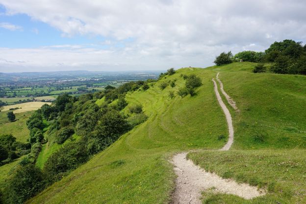
Cycling
National Cycle Network route 442 runs 53 miles from Worcester to Hanborough station near Oxford, mostly on quiet lanes, linking stations on the Cotswold Line railway, so you can ride one way and come back by train. National Cycle Network route 48 crosses the wolds from Tetbury to Moreton-in-Marsh. For a traffic-free ride, Walk Wheel Cycle Trust, formerly Sustrans, recommends the Stroud Valleys Trail (opens in a new tab), about 5 miles (8km) on the old railway line from Stonehouse to Nailsworth. Our page on cycling in the Cotswolds has the routes, the old railway paths, hire and bikes on the trains.

The Cotswolds Info newsletter
Events, new places and the best of the season, about once a month. Unsubscribe at any time.
The Cotswold Water Park
South of Cirencester, the Cotswold Water Park, now also called the Cotswold Lakes, is a landscape of lakes. The Cotswold Country Park and Beach at Shorncote may have closed: its website was a parked page and then not loading when we checked in October 2026, so check before you go. The Trust's Cleveland Lakes at Ashton Keynes runs open-water swims on Waterhay Lake, booked online in half-hour arrival slots, and paddleboarding booked by email. Wild swimming in the Cotswolds has the lakes, the lidos and the rivers, and where swimming is allowed.
Before you set out on any walk, check the route on the Cotswolds National Landscape's site, wear boots after rain, and keep dogs on leads near livestock.
Mentioned in this story
The places, sights and walks in this story, each with a page of its own: what it is, when to go and how to get there.
-
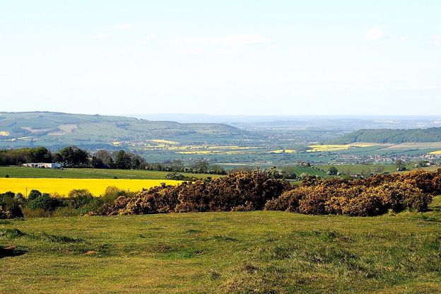
Cleeve Common
Sight · Common or park · The Cotswold Edge
-
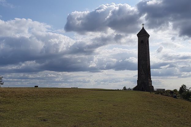
Tyndale Monument, North Nibley
Sight · Monument · Wotton-under-Edge
-

The Cotswold Way
Walk · Dog-friendly
Places to stay near Chipping Campden
-
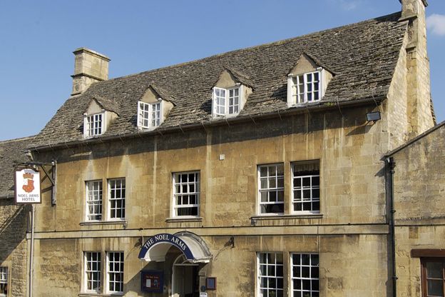
The Noel Arms Hotel
Inn · Chipping Campden
A Grade II listed inn with 27 rooms on Chipping Campden's High Street, with a restaurant, parking, accessible rooms and dogs by arrangement.
Dog-friendly
Verified Oct 2026
-
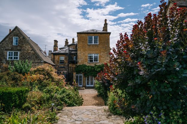
Cotswold House Hotel and Spa
Hotel · Chipping Campden
A Grade II listed Regency town house on Chipping Campden's Upper High Street, now a hotel and spa with the Hidcote restaurant.
Hot tubs · Wedding venues
Verified Nov 2026
-
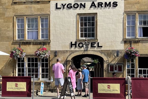
The Lygon Arms, Chipping Campden
Inn · Chipping Campden
A coaching inn with ten rooms on Chipping Campden's High Street, with family rooms, bike storage, free parking at the rear and dogs welcome.
Dog-friendly
Verified Oct 2026
Read next
-
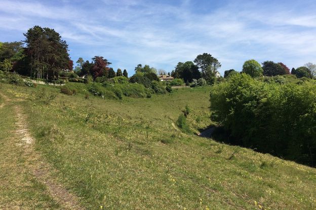
The Cotswolds with a dog
Story · Guides · 11 minute read
The rules for a dog in the Cotswolds, where sheep and cattle graze the commons and the fields, then the best dog walks, the rivers for a swim, the attractions, gardens, pubs and places to stay that welcome dogs, and what to do on a hot day or in an emergency.
-
Getting to the Cotswolds without a car
Story · Guides · 12 minute read
You can see the Cotswolds without a car: trains from London Paddington reach Moreton-in-Marsh, Kingham, Charlbury, Kemble and Stroud in 70 to 90 minutes, and buses go on to Stow, Bourton, Bibury and Chipping Campden. Every station, its bus, the fares and the limits.
-
Where are the Cotswolds?
Story · Guides · 11 minute read
The Cotswolds are a range of limestone hills in south-central England, a National Landscape of 787 square miles across six counties, most of it in Gloucestershire. Here is where they are, what the boundary includes, and what makes the stone golden.