Where are the Cotswolds?
The Cotswolds are not a county, a town or a single place. They are a range of hills, a stone and a protected landscape of 787 square miles, and the boundary is drawn more precisely than most people think.
· 11 minute read
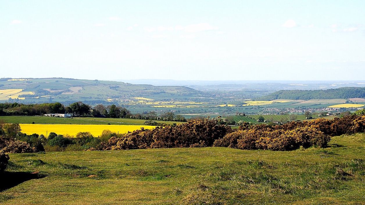
The Cotswolds are a range of limestone hills in south-central England, running for nearly 60 miles from Bath in the south to the edge of Warwickshire and Worcestershire in the north. Most of them are protected as the Cotswolds National Landscape, 787 square miles (2,038 square kilometres) across six counties and 15 council areas, with nearly two thirds in Gloucestershire. That boundary is what most people mean by "the Cotswolds", and it is the one this guide uses.
The nearest big cities are Oxford, Cheltenham, Gloucester, Bristol and Bath, and the hills sit between them. London is about 85 miles to the south-east, Birmingham about 50 miles to the north. The famous villages, Bibury, Bourton-on-the-Water, Castle Combe and Broadway, are scattered across the whole length of the hills, which is why a "Cotswolds day trip" so often turns into a long drive.
Is the Cotswolds a county?
No. The Cotswolds have never been a county, and there is no Cotswolds council in the way there is a Gloucestershire County Council. The nearest thing is Cotswold District, a local authority based in Cirencester, which holds about 44% of the National Landscape and nothing like all of it. The Board counts 15 local authority areas across the hills in all, county and district councils together.
Six counties share the Cotswolds. Gloucestershire has 63.7% of the National Landscape by area (its county council's share), and South Gloucestershire, a separate unitary council in the same historic county, a further 6.3%. Oxfordshire has 12.1%, Wiltshire 6.8%, Warwickshire 5.1%, Bath and North East Somerset 3.6% and Worcestershire 2.4%. Those figures come from the Cotswolds National Landscape management plan (opens in a new tab).
By district, Cotswold holds 43.8%, West Oxfordshire 11.9%, Stroud 10.9%, Tewkesbury 8.5%, Stratford-on-Avon 5.1%, Wychavon 2.4%, Cheltenham 0.5% and Cherwell 0.2%. That is why Broadway is a Cotswold village in Worcestershire, Castle Combe a Cotswold village in Wiltshire, and Burford a Cotswold town in Oxfordshire, and why the bus fares, the car parks and the bin days change as you cross an invisible line.
What the National Landscape is
The Cotswolds National Landscape is the protected area, the old Cotswolds Area of Outstanding Natural Beauty under a newer name. It was designated in 1966, extended in 1990, and renamed for most purposes in June 2020. AONB is still the legal term. At 787 square miles it is the largest National Landscape in England and the third largest protected landscape after the Lake District and Yorkshire Dales National Parks.
A board set up by an order of Parliament in 2004, the Cotswolds Conservation Board, now trading as the Cotswolds National Landscape Board, writes the management plan and speaks for the area, though by its own account it does not own or directly manage any of the land. It has 37 members: 15 from the principal councils, eight from parish councils and 14 appointed by the government. Its office, once at the Old Prison in Northleach, is now at Rendcomb, near Cirencester.
The boundary is a line on a map, not a wall. It takes in the hills and leaves out most of the towns at their feet, so Cheltenham, Gloucester, Stroud, Witney and Bath are gateways rather than members. Inside it are the high wolds, the river valleys, the escarpment and the villages, about 150,000 people in all, by the Board's own figure.
The escarpment and the dip slope
The Cotswolds are tilted. Along the western side a steep escarpment, the Cotswold Edge, rises above the Severn valley and the Vale of Evesham, reaching 330 metres at Cleeve Hill, though south of Hawkesbury it is less than 100 metres high. From its crest the land slopes gently east and south-east, down to the meadows of the upper Thames. Geologists call it a scarp and dip landscape, and the Board calls the edge the largest continuous landform in lowland England.
The escarpment is where the views are. Cleeve Hill above Cheltenham, Leckhampton Hill with the Devil's Chimney, Painswick Beacon, Haresfield Beacon, Dover's Hill above Chipping Campden and Broadway Tower all stand on it, and the Cotswold Way follows it for 102 miles from Chipping Campden to Bath. On a clear day from the Edge you can see across the Severn vale to the Malvern Hills.
The dip slope is where the villages are. The Windrush, the Coln, the Leach, the Evenlode and the Churn all rise near the crest and run south-east off the hills towards the Thames, and the villages everybody comes to see, the Slaughters, Naunton, Bibury, Coln St Aldwyns, sit in their valleys. The wolds between them are high, open and windy, mostly arable now, with the drystone walls that mark where the sheep once were.
The highest point
The highest point in the Cotswolds is Cleeve Hill, 330 metres above sea level on Cleeve Common above Cheltenham, by the common's own figure. The summit is a trig point on the flat top of the common, and the better views are from the toposcope on the northern spur and from Cleeve Cloud on the western edge.
Cleeve Common is over 400 hectares (1,000 acres) of privately owned land with a right to roam on foot, grazed by cattle, with a golf course across part of it and the Cotswold Way crossing the top. Our Cleeve Common and Cleeve Cloud walk takes in the summit, the Iron Age fort of Cleeve Hill camp and the escarpment edge, and the Winchcombe to Cleeve Hill stage of the Cotswold Way climbs it from the Winchcombe side. The thickest sections of Jurassic rock in the country are exposed here and at Leckhampton Hill, a feature the Board says is recognised by their designation as Sites of Special Scientific Interest.
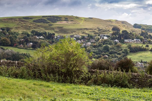
Why the stone is golden in the north and grey in the south
Cotswold stone is Jurassic oolitic limestone, and its colour comes from iron. The more iron oxide the stone holds, the warmer it weathers, from the honey and gold of the north Cotswolds around Stanton, Broadway and Chipping Campden to the silvery grey of Painswick and the cold grey of Minchinhampton, in the south.
The rocks were laid down between about 210 and 140 million years ago, when this part of England was a warm, shallow sea. The "oolite" is made of tiny rounded grains of lime that formed on the sea floor, like fish roe, which is what the word means. The Cotswolds are the best-known stretch of a limestone band that arcs across England from the Dorset coast to the Humber, and the escarpment is the same feature, worn back, all the way to Market Weighton in Yorkshire. The Board's geology page (opens in a new tab) puts the colour range as "silvery and creamy white, through subtleties of grey, to a golden ochre".
The stone is still quarried. Yellow Guiting stone, which weathers to a rich gold, comes from beds above Stanway, and the north Cotswold villages were built from the quarries on their own hills, which is why each is slightly different in tone. Walk from Stanton to Painswick and you cross the whole range in a day's drive, gold to grey, with the same roofs of stone slates on both. Our story on why Cotswold stone is golden has the quarries, the stone slate roofs and the dry-stone walls, and where to see each.
Where the name comes from
The usual reading among place-name scholars takes the name from a twelfth-century form, Codesuualt, and reads it as "Cod's wold", the high open land of a man called Cod. The English Place-Name Society's survey of Gloucestershire reads the first part of Cutsdean, a hamlet on the wolds above Stanway, as the same Old English personal name, Cōd, and says it is possibly the one in Cotswold.
The popular explanation, that the name means the wolds of the sheep cotes, the stone shelters the Cotswold sheep were kept in, is a guess that fits the wool trade and has stuck because of it. There is no record of a Cod, king or otherwise. The Cod reading is a reasonable reading of the evidence, not a proven fact, and the sheep-cote story has less behind it. "Wold" itself is the Old English for high, open ground, which the Cotswolds still are.
The six regions
We divide the Cotswolds into six regions, each with its own guide, because the hills are too big to visit as one place. The North Cotswolds is the famous part: Stow, Bourton, the Slaughters, Chipping Campden, Broadway and the Windrush valley, gold stone, and the busiest villages. The Cotswold Edge is the escarpment from Winchcombe south by Cheltenham and Painswick, with the Cotswold Way along its crest.
Stroud and the Five Valleys is the mill country south of the Edge: Stroud, Nailsworth, Minchinhampton, the commons and the Laurie Lee country of Slad. Cirencester and the Coln Valley is the centre and the south-east: Cirencester, Bibury, Coln St Aldwyns, Northleach, Fairford and Lechlade on the Thames. The South Cotswolds runs from Tetbury and Westonbirt down to Castle Combe, Lacock and Malmesbury, grey stone and quieter lanes. The Oxfordshire Cotswolds is the east: Burford, Witney, Woodstock and Blenheim, Kingham and the Evenlode.
For a first trip, the best villages and the best towns say what each place is like, three days in the Cotswolds runs from Chipping Campden in the north to Westonbirt in the south by car, and one day in the Cotswolds keeps to the North Cotswolds.

The Cotswolds Info newsletter
Events, new places and the best of the season, about once a month. Unsubscribe at any time.
What is in the Cotswolds and what is not
Bath, Cheltenham, Lacock and Malmesbury are edge places: each is at the foot of the hills or on their margin, and each is a sensible base, but none is a Cotswold village in the way Bibury is. The National Landscape reaches Bath in the south, where the Cotswold Way ends at the abbey, and Cheltenham lies in the vale below Cleeve Hill, with only a sliver of the hills inside the borough: half of one per cent of the National Landscape.
Chipping Norton, on the Oxfordshire edge of the hills, is in the Cotswolds but not in this guide: our sister site Banburyshire covers it, with Great Tew, Hook Norton and the Rollright Stones, because they are reached from Banbury rather than from the Gloucestershire side. Stratford-upon-Avon, Gloucester, Swindon and Oxford are not in the Cotswolds at all, whatever the brochures say. They are the cities you pass through on the way.
Within the boundary, the Cotswolds are not uniform. The honeypots take most of the visitors, and the Board's management plan calls the spread of tourism uneven, with the honeypots under heavy pressure while other communities could gain more from visitors. Our guide to the Cotswolds without the crowds is built on that gap.
How to get there, and how far it is
The Cotswolds are about two hours from London by road or 90 minutes by train, an hour from Birmingham, Bristol and Bath, and under an hour from Oxford. Trains from London Paddington reach Moreton-in-Marsh in about an hour and a half and Kemble, for Cirencester, in a little over an hour. Our guide to the Cotswolds without a car has the stations and the buses that meet them.
By road, central London to Moreton-in-Marsh is about 85 miles and two hours on a good day, by the M40 and the A44. London to Cirencester is about 95 miles by the M4. Birmingham to Moreton is about 53 miles and a little over an hour. Bristol to Cirencester is 38 miles, Bath to Castle Combe 15 miles and about half an hour, Oxford to Bourton-on-the-Water 29 miles and about 50 minutes. The distances are road distances we measured on the map. The times assume no traffic, which on a summer Saturday on the A429 is a big assumption.
There is no Cotswolds airport. Heathrow is about 75 miles from Bourton-on-the-Water, about an hour and a half by the M4 and A419 or the M40. Bristol Airport is about 45 miles from Cirencester and under 20 from Bath. Birmingham Airport is about 40 miles from Moreton-in-Marsh and Broadway, about an hour. From Heathrow the National Express 444 coach runs to Cirencester and Cheltenham without a change.
How many people live and visit here
About 150,000 people live inside the National Landscape, and it takes about 23 million day visits a year, according to a Board paper on the case for a Cotswolds National Park, written in 2018 and filed again with the Board's February 2025 agenda. Cotswolds Tourism's destination management plan for 2022 to 2025 counts the same 23 million day trips in 2019, worth £804 million, plus 2.4 million domestic overnight trips and 371,500 from overseas, though it builds the Cotswolds total by adding Gloucestershire and West Oxfordshire together. The Board's current management plan puts the Cotswolds tourism industry at around £1 billion a year.
Those figures are several years old, and the Board's paper gives no source for its own. The Board's own plan says updated visitor and tourism survey data are needed. What they do show is the shape of the thing: a region the size of a small county, with a resident population the size of one market town's catchment, visited 150 times over each year, mostly for a day and mostly in the same dozen places.
Mentioned in this story
The places, sights and walks in this story, each with a page of its own: what it is, when to go and how to get there.
-
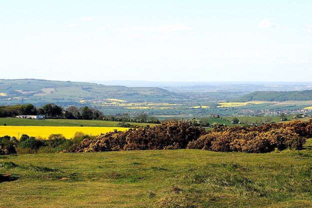
Cleeve Common
Sight · Common or park · The Cotswold Edge
-
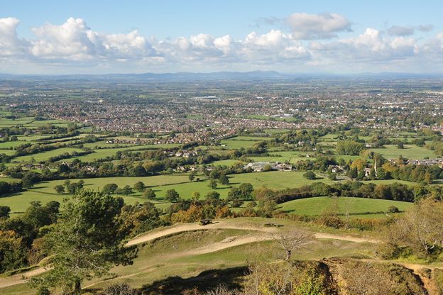
Leckhampton Hill and Charlton Kings Common
Sight · Nature reserve · The Cotswold Edge
-

The Cotswold Way
Walk · Dog-friendly
Places to stay near the North Cotswolds
-
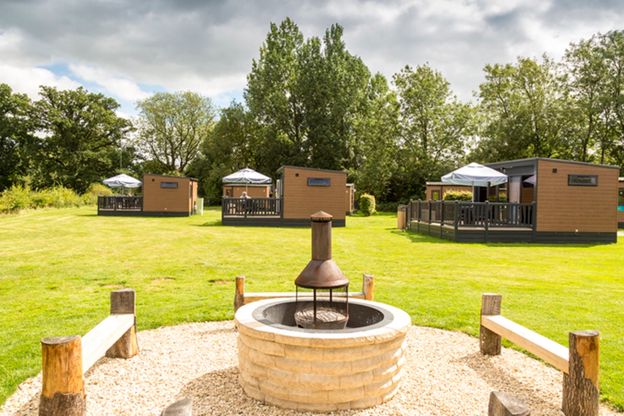
Moreton-in-Marsh Club Campsite
Camping · Moreton-in-Marsh
The Caravan and Motorhome Club's site on Bourton Road, Moreton-in-Marsh, open all year, with 184 touring pitches, ten pods and a dog walk.
Dog-friendly · Family-friendly · Walker-friendly
Verified Nov 2026
-
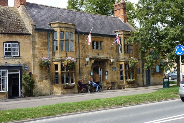
The Swan Inn, Moreton
Inn · Moreton-in-Marsh
An inn with eight rooms in a Grade II listed nineteenth-century building on Moreton-in-Marsh's High Street, with pub food five days a week.
Verified Oct 2026
-
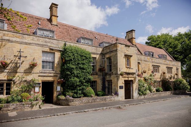
The Manor House
Hotel · Moreton-in-Marsh
A Grade II listed hotel on Moreton-in-Marsh's High Street with 34 bedrooms, a walled garden and a two-Rosette restaurant, dogs welcome.
Dog-friendly · Car-free · Wedding venues
Verified Nov 2026
Read next
-
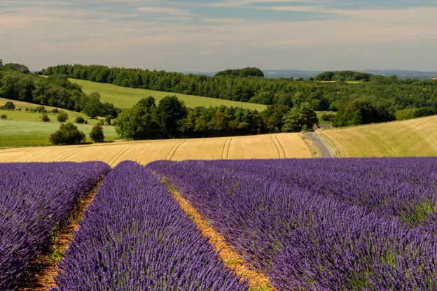
When to visit the Cotswolds, month by month
Story · Guides · 13 minute read
The best months to visit the Cotswolds are May, September and October. June to August and the bank holidays are the busiest, January the quietest. Here is the year month by month, with what is in flower, the customs, the weather and what to book ahead.
-
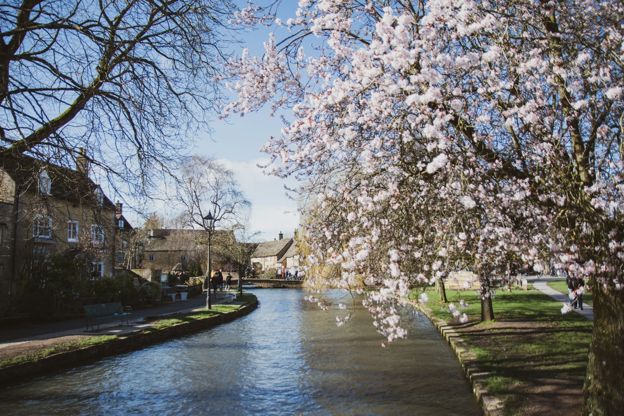
Getting to the Cotswolds without a car
Story · Guides · 12 minute read
You can see the Cotswolds without a car: trains from London Paddington reach Moreton-in-Marsh, Kingham, Charlbury, Kemble and Stroud in 70 to 90 minutes, and buses go on to Stow, Bourton, Bibury and Chipping Campden. Every station, its bus, the fares and the limits.
-
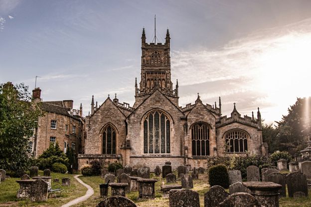
The wool churches of the Cotswolds
Story · Guides · 11 minute read
Northleach, Chipping Campden, Cirencester, Fairford, Burford and the other Cotswold churches rebuilt on medieval wool money: how the trade paid for them, what to look for in each, when they open and a route by car or on foot.