Bill Boaden, CC BY-SA 2.0, via Wikimedia Commons
Haresfield Beacon
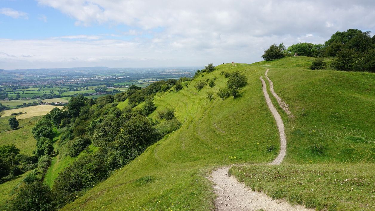
A National Trust promontory of the Cotswold Edge north-west of Stroud, with a small Iron Age hillfort reused in Roman times, a beacon mound carrying the trig point and a view over the Severn estuary to the Forest of Dean and, on a clear day, the Brecon Beacons.
Viewpoint
Stroud and the Five ValleysHaresfield Beacon is a spur of the Cotswold Edge north-west of Stroud, owned by the National Trust, where the scarp juts out over the Severn Vale. Its two hills carry an Iron Age hillfort, a pair of round mounds, one the old beacon with the trig point on it, and a great bank and ditch across the neck of the hill, scheduled together as one ancient monument.
History
Haresfield Beacon was fortified in the Iron Age, lived on again in Roman times, and later carried a beacon. Historic England schedules the hilltops as Haresfield Hill camp and the Ring Hill earthworks.
The hillfort on Ring Hill
The western hill, Ring Hill, is enclosed by a single rampart up to about 9m wide and 1.2m high, with the steep natural slopes sharpened to make the rest of the defence. Historic England classes it as a slight univallate hillfort, a type dated from the late Bronze Age to the early Iron Age, between the eighth and fifth centuries BC; about 150 are known in England. A rotary quern, pottery and animal bones were found by chance in 1837, with signs of a possible building, and a later survey confirmed occupation in the Roman period, suggesting the fort was reused as a Romano-British settlement.
The beacon and the barrows
In the centre of the enclosure are two round mounds, each about 18m across and up to 2m high. One is a bowl barrow, a burial mound of a kind usually dated to the Bronze Age. The other is the beacon that gives the hill its name, now crowned with a concrete trig pillar: a place where a fire could be lit as a warning, smoke by day and flame by night, a system already organised in England by 1325.
The Bulwarks
To the east a massive bank, up to 13.7m wide and 2.1m high, with a ditch 12m wide, runs across the hill. It was once taken for the outer defence of a larger fort; Historic England now reads it as a cross dyke, a prehistoric boundary. The hilltops have also been quarried from time to time, and trees have grown over parts of the earthworks.
Into the National Trust's care
The National Trust looks after the beacon with Standish Wood and the woods around Shortwood, an estate where it counts long and round barrows, the hillfort and the cross dyke, monuments it describes as more than 3,000 years old. A patch of the hill, 0.73 hectares, is also a geological Site of Special Scientific Interest, notified in 1985 for its exposures of Jurassic rocks and the ammonites and brachiopods found in them.
What to see
The view is the reason to come: west over the Severn estuary to the Forest of Dean and, on a clear day, to the Brecon Beacons.
- The trig point on the beacon mound, inside the hillfort.
- The rampart of the Ring Hill fort, and the Bulwarks bank and ditch across the hill to the east.
- The topograph near the Shortwood car park, which names the hills in view.
- Limestone grassland on the slopes, with orchids and butterflies in summer, and buzzards and kestrels over the scarp.
Visiting
Haresfield Beacon is National Trust countryside, free to walk on. The Trust asks for dogs on leads across the estate, and sheep graze the fields below the scarp; if cattle come close, the Trust's advice is to let your dog go and call it back when it is safe. The Trust lists no toilets. A coffee truck, Off Road Bean, trades at the Shortwood car park on most weekends from 10am to 1pm and on some Fridays in the morning, by the dates it published for autumn 2026; check its website before you rely on it. The walk out along the edge from the car park is on grass with some slopes. Come on a clear evening, when the sun sets over the Forest of Dean, or in spring for the bluebells in the woods below.
Getting there
The National Trust's Shortwood car park, reached by lanes from Whiteshill above Stroud (GL6 6PP), charges £1 for an hour, £3 for three hours or £4 for the day, and is free to members; from it the beacon is about 700m north-west along the edge. On foot, the Cotswold Way crosses the beacon on its stage from Painswick to King's Stanley, and our Haresfield Beacon and Standish Wood walk loops from Shortwood down through the woods and back up to the fort.
Nearby
Standish Wood, with its veteran beeches and bluebells, falls away below the car park. The Vine Tree Inn at Randwick is a pub close by. Along the escarpment are Painswick Beacon, another hillfort, to the north-east, and further on Crickley Hill and Leckhampton Camp; across the Frome valley, Rodborough Common and All Saints, Selsley look back at it. For cafés and inns, go to Painswick, a few miles north-east.
Walks past Haresfield Beacon
-
Haresfield Beacon and Standish Wood
Walk · Starts in Stroud and the Five Valleys · 2 hrs, 15 mins · Circular
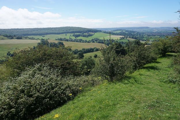
A 4.5-mile (7.2km) circular walk from the National Trust's Shortwood car park, moderate and two to two and a half hours: south through the beeches of Standish Wood, down across the fields below the escarpment, and a long climb back to the hillfort on Haresfield Beacon.
Stay and eat near Haresfield Beacon
-
The Vine Tree Inn
Pubs · Stroud
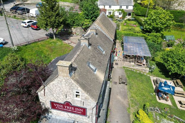
A pub at Randwick, about 2.5 miles by road from Stroud, whose chef was Cotswold Life's chef of the year in 2025, with dogs welcome and a tiered garden looking over the valleys.
Dog-friendly · Walker-friendly
Verified Nov 2026
-
Cotswold Lodge
Self-catering · Painswick
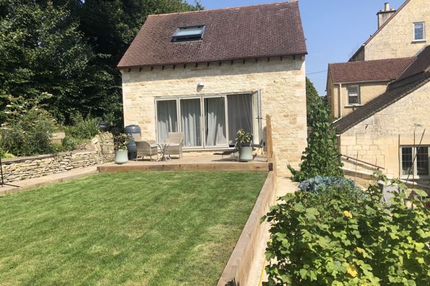
A one-bedroom lodge on Stamages Lane, Painswick, for two adults and up to two young children, with a deck over the valley and free parking.
Verified Oct 2026
-
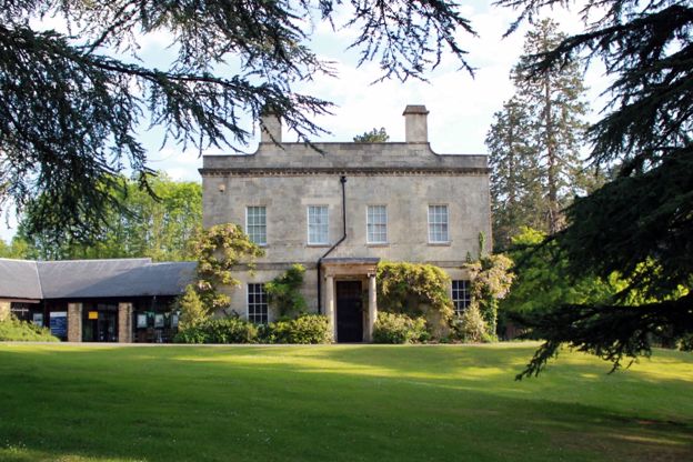
Museum in the Park
Museums and galleries · Stroud
Stroud's free museum in a seventeenth-century house in Stratford Park, with a walled garden and a café, closed on Mondays and for a few weeks in winter.
Rainy days · Car-free · Family-friendly
Verified Oct 2026
Stories about Haresfield Beacon
-
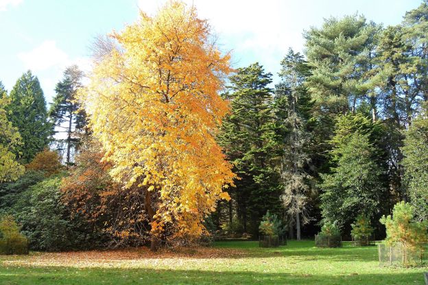
Autumn in the Cotswolds
Story · Guides · 10 minute read
Autumn in the Cotswolds, from Westonbirt's maples and Batsford to the beech woods of the escarpment, Blenheim's park and the Slad valley: when the colour comes, the best autumn walks, the October events, how to miss the half-term crowds, what to wear and where to stay for a fire.
-
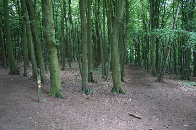
Bluebell woods in the Cotswolds
Story · Guides · 10 minute read
The best bluebell woods in the Cotswolds, from Westonbirt's Silk Wood and Lynches Wood below Dover's Hill to Standish Wood, Frith Wood, Siccaridge Wood and Foxholes: when they flower, who looks after each wood, where to park, the dog rule and the walk that goes through it.
-
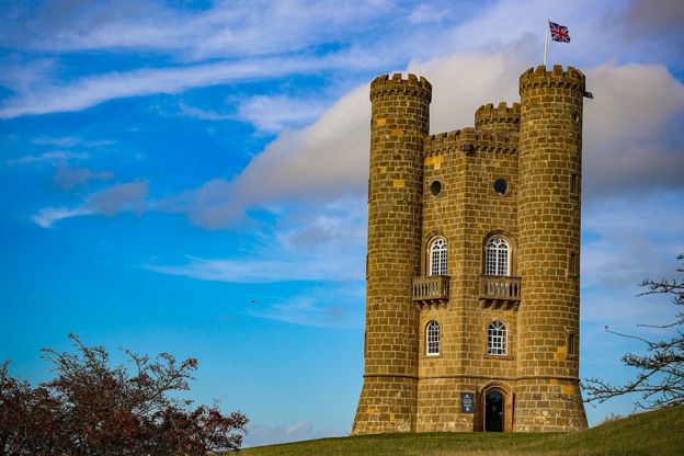
The best viewpoints in the Cotswolds
Story · Guides · 11 minute read
The best viewpoints in the Cotswolds, from Broadway Tower, Dover's Hill and Cleeve Hill to Haresfield Beacon, Crickley Hill and the Tyndale Monument: what you see from each, where to park and the walk that gets you there.
More sights to see
-
Standish Wood
Sight · Wood · Stroud and the Five Valleys
A National Trust beech wood on the Cotswold scarp below Haresfield Beacon near Stroud, known for bluebells and wild garlic in spring, with veteran beeches over 200 years old at Shortwood, a Neolithic long barrow on the ridge nearby and the Cotswold Way running through it.
-
Painswick Beacon
Sight · Hill fort or barrow · Painswick
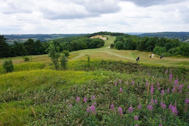
Painswick Beacon is a hill north of Painswick, about 280m high, crowned by a large Iron Age hill fort with triple ramparts. Royalist troops camped here in 1643. It is open common land on the Cotswold Way, shared with a golf course, with views over the Severn Vale.
-
Crickley Hill
Sight · Common or park · The Cotswold Edge
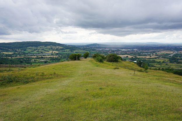
Crickley Hill is a Cotswold Edge promontory near Birdlip, cared for by Gloucestershire Wildlife Trust and the National Trust, where 25 years of digging found a Neolithic settlement destroyed in battle and an Iron Age hillfort. Grassland, beech wood, a café and views to Wales.