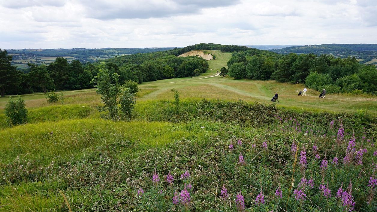
Bill Boaden, CC BY-SA 2.0, via Wikimedia Commons
Painswick Beacon
Painswick Beacon is a hill north of Painswick, about 280m high, crowned by a large Iron Age hill fort with triple ramparts. Royalist troops camped here in 1643. It is open common land on the Cotswold Way, shared with a golf course, with views over the Severn Vale.
Hill fort or barrow
PainswickPainswick Beacon is the hill that rises north of Painswick, about 280m high, on the western edge of the Cotswolds. Its top is ringed by the ramparts of a large Iron Age hill fort, also called Kimsbury, which royalist troops held in 1643. It is open common land on the Cotswold Way, and a golf course has been played across it since 1891.
History
The fort is one of only about 50 large multivallate hill forts recorded in England, Historic England says, and it was scheduled as an ancient monument in 1927. It encloses about 8.8 hectares, roughly a triangle, on the summit between three valleys: the River Twyer, the Painswick Stream and the Wash Brook.
The hill fort
On the west and south sides, where the slope is gentlest, the builders raised three banks with two ditches between them. On the north, a natural scarp topped by a single bank was enough. The main entrance, on the south-east, turns inwards between the banks; a simpler gap on the north-west meets an old trackway. Chance finds from inside include Iron Age and Romano-British pottery. Local names for the camp are Kimsbury and Castle Godwyn, and the Victoria County History records a tradition linking it to Earl Godwin, the eleventh-century earl of Wessex.
The king's camp
In 1643, after Charles I's army failed to take Gloucester, royalist troops occupied the hill as an outpost. King Charles's Stone, west of the camp, is said to mark where the king rested, and the Court House in the town has a room called King Charles's bedroom. Our story on the ghost of Charles I follows the king through the Cotswolds.
Quarries and golf
The hill was quarried for building stone over centuries, and Catsbrain Quarry and other old workings scar its slopes. In 1891 a golf course was laid out over the top and Painswick Golf Club was founded; holes are played over and through the ramparts. Quarrying and the course have damaged the fort, but Historic England judges that it survives comparatively well.
What to see
Walk the circuit of the ramparts to read the fort. On the west side the three banks and two ditches are clearest, rising in steps above the drop to the vale.
- The south-east entrance, where the banks turn inwards to make a passage
- The trig pillar on the highest rampart, the best viewpoint on the hill
- The view west over the Severn Vale towards the Forest of Dean and, on a clear day, the hills of Wales
- The old quarry faces on the slopes, and the short limestone turf, bright with wild flowers in summer
Visiting
Painswick Beacon is open common land, free and always open, and the paths and the Cotswold Way cross it. The golf course shares the hill, so look out for players, wait for a shot before crossing a fairway and keep off the greens. Walkers reported cattle grazing on the hill fort in June and September 2026, and on open access land dogs must be on a short lead from 1 March to 31 July and whenever there is livestock about. The ground is rough and the ramparts steep, with no surfaced path to the top. There are no public toilets on the hill; Painswick, below, has pubs and cafés. Come on a clear evening for the light over the Severn.
Getting there
By car, a small car park lies off the B4073 north of Painswick, a short walk south of the top, and a separate gravel walkers' car park lies off Golf Course Road above the Rococo Garden (GL6 6TL), about 1.5km south of the top, where the parish council's guided walks started in 2026. From Painswick, park at Stamages Lane (GL6 6UT) or take Stagecoach bus 66 from Stroud or Cheltenham, about hourly Monday to Saturday and every two hours on Sundays.
On foot, the Painswick and Painswick Beacon walk climbs from the town over the B4073 to the ramparts and comes down past the golf course and the Rococo Garden, 5 miles (8.2km) round. The Cotswold Way crosses the hill on its way south from Birdlip to Painswick.
Nearby
Painswick's St Mary's Church, with its yews and carved tombs, is about 2.5km south. The Painswick Rococo Garden lies between the hill and the town, and the Falcon Inn faces the church. Further along the Cotswold escarpment, Haresfield Beacon carries another hill fort with views over the Severn, and to the north-east the excavated fort on Crickley Hill was dug over 25 years and found a Neolithic settlement beneath an Iron Age fort.
Walks past Painswick Beacon
-
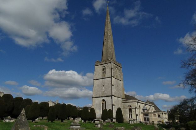
Painswick and Painswick Beacon
Walk · Starts in Painswick · 2 hrs, 45 mins · Circular · Dog-friendly
A 5-mile (8.2km) circular walk from Painswick, moderate and two and a half to three hours, with 250m of climbing: out by Butt Green and the Holcombe farms, over the B4073 and up to the Iron Age ramparts on Painswick Beacon, then down past the golf course and the Rococo Garden.
-
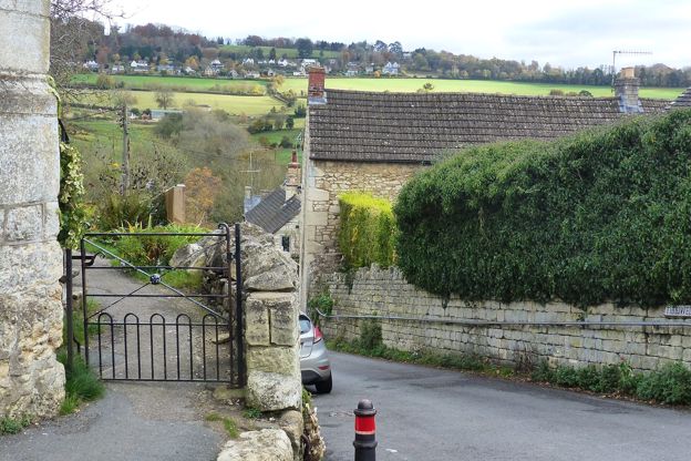
The Painswick Stream
Walk · Starts in Painswick · 1 hr, 30 mins · Circular
A 3-mile (4.6km) circular walk from Painswick, moderate, with stiles and one steep climb, in one to one and a half hours: through the churchyard and down Vicarage Street to the Painswick Stream, along it past five old mills, and back up Knapp Lane to the stocks.
Stay and eat near Painswick Beacon
-
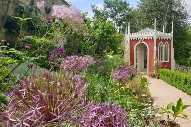
Painswick Rococo Garden
Parks and gardens · Painswick
An eighteenth-century pleasure garden restored from a painting of 1748, with snowdrops in late winter, a café and dogs welcome on short leads.
Dog-friendly · Family-friendly · Car-free
Verified Oct 2026
-
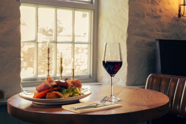
The Falcon Inn
Inn · Painswick
A family-run inn with eleven rooms on New Street, Painswick, established in 1828 and under new owners since February 2026, with dogs welcome throughout.
Dog-friendly · Wedding venues
Verified Oct 2026
-
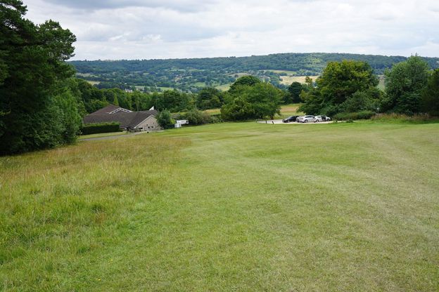
Painswick Golf Club Bar and Café
Cafes and tearooms · Painswick
The clubhouse bar and café of Painswick Golf Club on Painswick Beacon, open to non-golfers and dogs, with a sun terrace, breakfasts, lunches and a monthly carvery.
Dog-friendly
Verified Oct 2026
Stories about Painswick Beacon
-
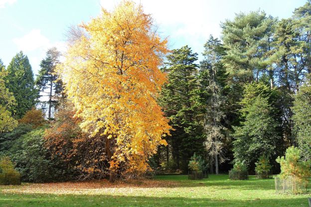
Autumn in the Cotswolds
Story · Guides · 10 minute read
Autumn in the Cotswolds, from Westonbirt's maples and Batsford to the beech woods of the escarpment, Blenheim's park and the Slad valley: when the colour comes, the best autumn walks, the October events, how to miss the half-term crowds, what to wear and where to stay for a fire.
-
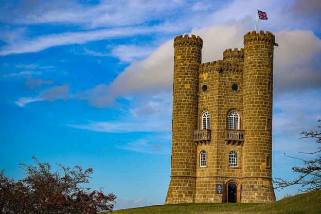
The best viewpoints in the Cotswolds
Story · Guides · 11 minute read
The best viewpoints in the Cotswolds, from Broadway Tower, Dover's Hill and Cleeve Hill to Haresfield Beacon, Crickley Hill and the Tyndale Monument: what you see from each, where to park and the walk that gets you there.
-
The Cotswolds in February
Story · Guides · 8 minute read
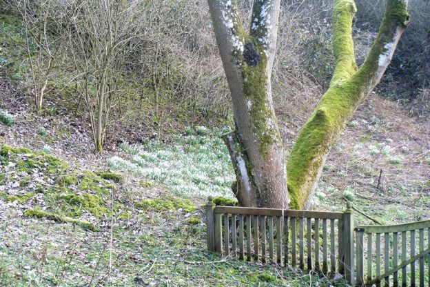
The Cotswolds in February: snowdrop month, with Colesbourne's weekends, Painswick's booked valley and Batsford, the Stroud Wassail, the first lambs, half term's one busy week, what is open, and three walks for the mud.
More sights to see
-
Painswick Stream
Sight · River · Painswick
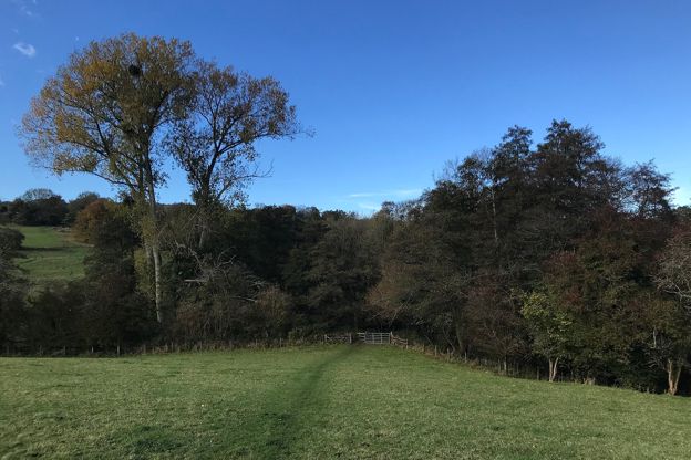
The Painswick Stream runs south in the valley below Painswick to the River Frome at Stroud. It drove the town's cloth trade: 25 mills stood in the parish in 1820. Footpaths follow it past Loveday's Mill, Skinners Mill and Kingsmill, old mills that are now homes.
-
St Mary's Church, Painswick
Sight · Church · Painswick
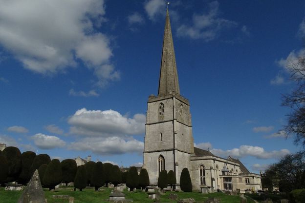
St Mary's is Painswick's Grade I parish church, of the late fourteenth and fifteenth centuries with a tall stone spire, set in a churchyard of clipped yews and carved table tombs that is on the national Register of Parks and Gardens. Open daily; the clipping is each September.
-

Court House, Painswick
Sight · Historic building · Painswick
The Court House is a gabled stone manor house of 1604 on Hale Lane, beside Painswick churchyard, with a panelled court room and a bedroom named after Charles I. Listed Grade I, it is a private home seen from the lane and the churchyard.