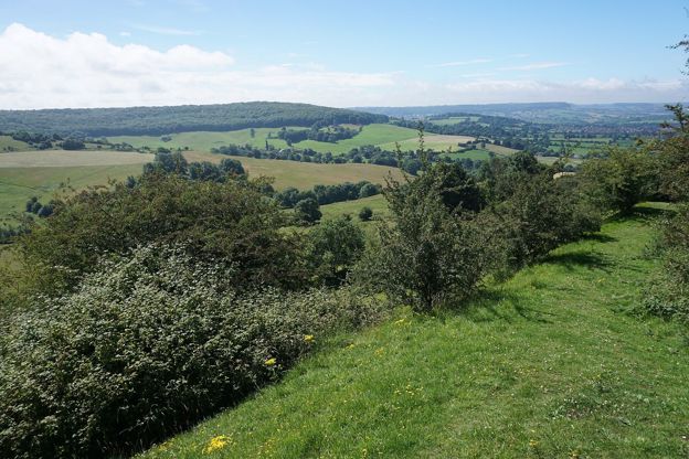
Colin Park, CC BY-SA 2.0, via Wikimedia Commons
Painswick and Painswick Beacon
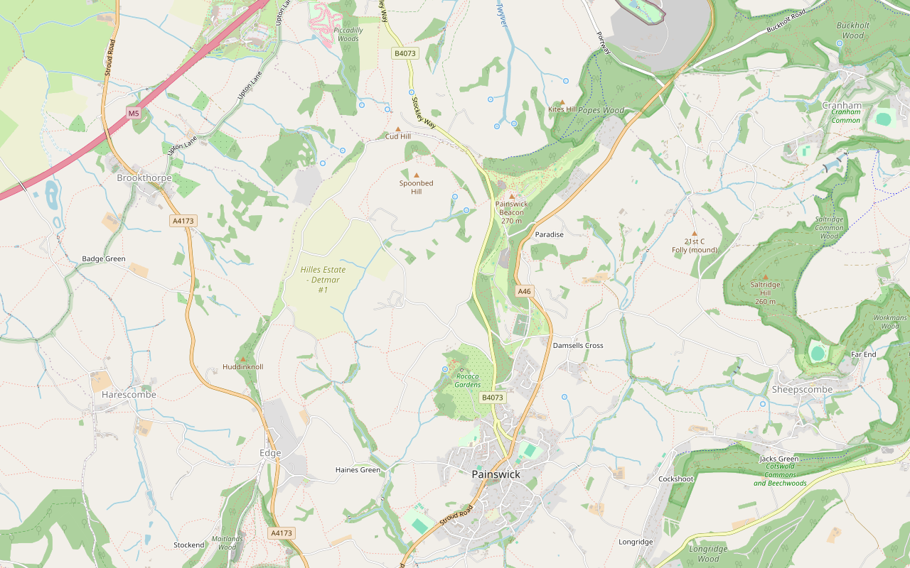
A 5-mile (8.2km) circular walk from Painswick, moderate and two and a half to three hours, with 250m of climbing: out by Butt Green and the Holcombe farms, over the B4073 and up to the Iron Age ramparts on Painswick Beacon, then down past the golf course and the Rococo Garden.
- Distance
- 8.2 km (5.1 mi)
- Difficulty
- Moderate
- Time
- 2 hrs, 45 mins
- Ascent
- 249 m
- Circular
- Circular
The route
Starts at Stamages Lane car park, Painswick follows the Cotswold Way for a while Muddy in winterSteep sectionRoad walkingLivestock in fieldsCafé on route Download GPX
Step by step
-
Step 1: Through Painswick to Butt Green
From the Stamages Lane car park, walk up Stroud Road into New Street, past the churchyard of St Mary's and the Falcon. Keep on into Gloucester Street, passing Christ Church, and fork left down the lane to Butt Green.
-
Step 2: Across the fields to Holcombe
At the end of Butt Green take the track and then the grassy field path north-west across the valley. Join a lane and follow it north past Holcombe Farm, Holcombe House and Upper Holcombe Farm, keeping to the lane for a little over a mile.
-
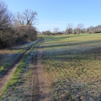
Step 3: Under Spoonbed Hill to the B4073
Leave the lane on the footpaths across the hillside below Spoonbed Hill, partly on a permissive path, and follow the bridleway east to the B4073. Cross with care: walkers report a short stretch beside a busy road here, with a narrow path alongside.
-
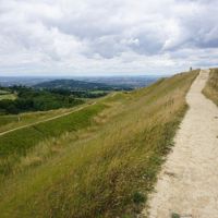
Step 4: Over Painswick Beacon
Climb on the footpaths over Cud Hill Common to the top of Painswick Beacon, inside the ramparts of the hillfort. Head south past the old Catsbrain quarry and follow the paths down along the edge of the golf course, watching for players, to the Ramblers car park.
-
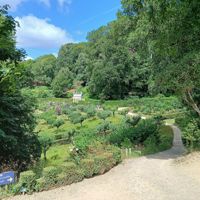
Step 5: Back past the Rococo Garden
Follow Golf Course Road down to Gloucester Road, the B4073, and walk south along it, with the grounds of the Rococo Garden on your right, into Gloucester Street. Turn into New Street by the Falcon and walk back down Stroud Road to the car park.
Sights on the way
The sights this walk passes, numbered as on the map.
-

Court House, Painswick
Sight · Historic building · Painswick
The Court House is a gabled stone manor house of 1604 on Hale Lane, beside Painswick churchyard, with a panelled court room and a bedroom named after Charles I. Listed Grade I, it is a private home seen from the lane and the churchyard.
-
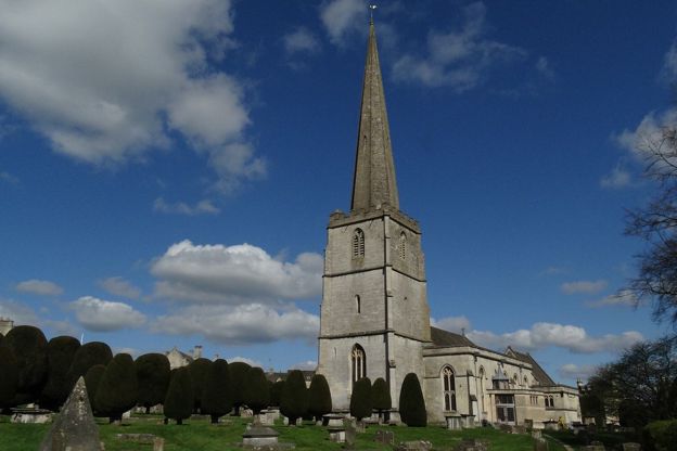
St Mary's Church, Painswick
Sight · Church · Painswick
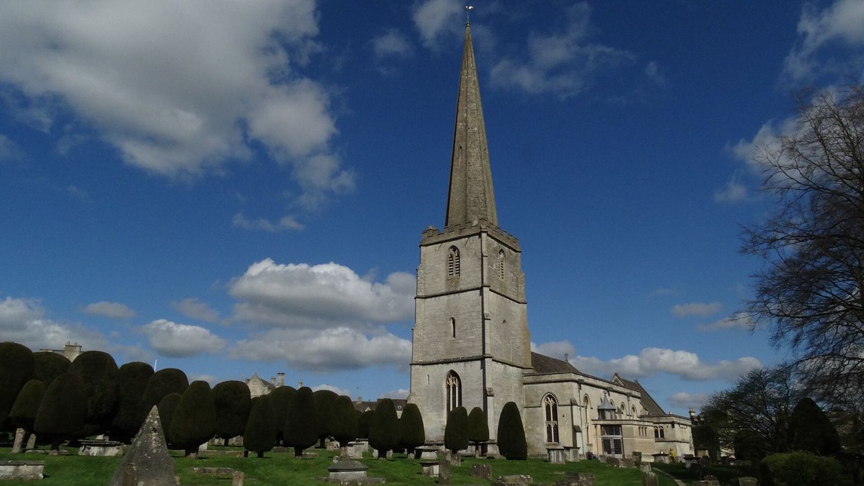
St Mary's is Painswick's Grade I parish church, of the late fourteenth and fifteenth centuries with a tall stone spire, set in a churchyard of clipped yews and carved table tombs that is on the national Register of Parks and Gardens. Open daily; the clipping is each September.
-
Painswick Beacon
Sight · Hill fort or barrow · Painswick
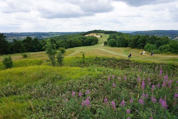
Painswick Beacon is a hill north of Painswick, about 280m high, crowned by a large Iron Age hill fort with triple ramparts. Royalist troops camped here in 1643. It is open common land on the Cotswold Way, shared with a golf course, with views over the Severn Vale.
The walk in detail
The Painswick Beacon walk is a 5-mile (8.2km) circular walk from the middle of Painswick to the top of Painswick Beacon and back, with about 250m of climbing. It is moderate and takes two and a half to three hours, over Iron Age ramparts and home along the Cotswold Way past the Rococo Garden to the Falcon Inn.
It leaves the town by its northern lanes and swings out across the fields to the farms at Holcombe before the climb. It is a popular route. We have checked the line against the mapped paths but not yet walked it ourselves.
Painswick, St Mary's and the Falcon
The walk starts and ends in New Street, beside the churchyard of St Mary's. The church is listed Grade I: late fourteenth century, with a nave of about 1480, a fifteenth-century tower, and a restoration by Waller in 1883. The churchyard is notable for its clipped yews and its seventeenth to nineteenth-century tombs, many of them carved by the Bryan family of Painswick masons.
Opposite stands the Falcon, an inn with a datestone of 1711 at its door and windows of the early nineteenth century. Its listing records a service wing behind of the later 1800s. The Falcon Inn takes guests today and is the obvious place to finish.
The Holcombe farms
North-west of the town the lane runs past three listed houses in a row. Holcombe Farmhouse has 1700 and the initials SRS carved over its door. Holcombe House beyond it is Grade II*, a sixteenth or seventeenth-century house with three main gables to the road, extended early in the twentieth century by Detmar Blow, with a seventeenth-century dovecote to the north. Upper Holcombe Farmhouse, of the late seventeenth or early eighteenth century, has a stone-slated pentice on four square stone piers over its entrance.
Painswick Beacon
The Beacon, also called Painswick or Kimsbury hill, is a large Iron Age hillfort. The Victoria County History records a tradition linking it to Earl Godwin, and Royalist troops held it in 1643 after the failed siege of Gloucester, a story told in our piece on Charles I's ghost. A golf course was laid out over the hill in 1891. The fort is a scheduled monument, damaged by quarrying and by the golf course but, in Historic England's words, surviving comparatively well.
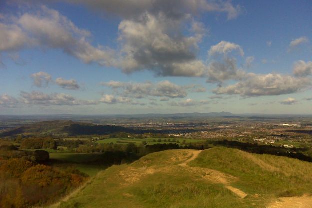
Walkers report cattle grazing on the hill. The way down passes the old Catsbrain quarry and runs beside the fairways, and walkers say the course is busy on Sundays, so you may wait for players to finish a hole.
The Rococo Garden
On the way back the route walks down the B4073 beside the grounds of the Rococo Garden. It was laid out in the eighteenth century as a pleasure garden for the owner of Painswick House, painted by Thomas Robins in 1748, abandoned and planted with timber in the 1950s, and restored from that painting in the decades since. It opens daily, 10am to 5pm with last entry at 4pm, until 1 November 2026, with free dog weekends on 7 and 8, 14 and 15, and 21 and 22 November (10am to 4pm), and it has a café, the Coffee Wagon. Our guide to the great Cotswold gardens has more.
The Cotswolds Info newsletter
Events, new places and the best of the season, about once a month. Unsubscribe at any time.
What walkers report
About a quarter of the route is on paved lanes and roads, and the rest on field paths, grass and earth tracks. Reviewers report mud in places, especially in winter and early spring, and a few steep, rocky climbs. Several mention the crossing of the B4073 and a short walk beside the road with only a narrow path, which needs care with children. One walker in June 2026 found a field path overgrown with thorns and walked through a herd of cattle, and another said the way is less well marked once you leave the Cotswold Way, so carry the map.
In summer reviewers found it quiet and partly shaded. Dogs are welcome on most of it, on a lead where there is livestock.
Food, parking and getting there
Painswick has cafés and pubs at both ends of the walk, and reviewers mention coffee shops in the town. The car park at Stamages Lane is long stay, with 56 bays and public toilets that Stroud District Council lists as open 7am to 7pm, and walkers report it and the nearby streets fill early on fine days. The 66 bus from Stroud stops in the town, about hourly from Monday to Saturday and every two hours on Sundays. For a night here, The Painswick is a hotel a short walk from the start, St Anne's is a B&B beside the route, and our pick of places to stay in Painswick has the rest.
Longer walks from Painswick
The route shares its last miles with stage 8 of the Cotswold Way, which comes over the Beacon from Birdlip. For a shorter valley walk from the same town, the Painswick Stream follows the old mill stream south of the church. Over the hill to the east, the Laurie Lee Wildlife Way starts at Bulls Cross, and to the south-west the Cotswold Way runs on to Haresfield Beacon.
Places on the way
-
Painswick Rococo Garden
Parks and gardens · Painswick
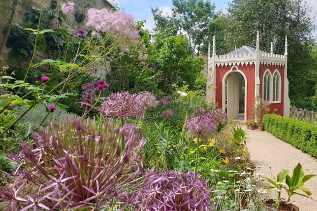
An eighteenth-century pleasure garden restored from a painting of 1748, with snowdrops in late winter, a café and dogs welcome on short leads.
Dog-friendly · Family-friendly · Car-free
Verified Oct 2026
-
The Painswick
Hotel · Painswick
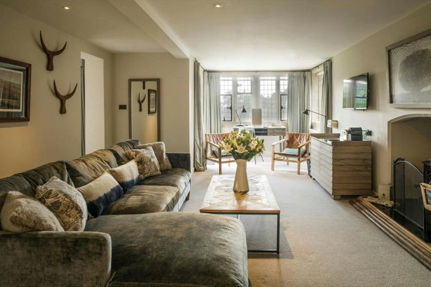
A 16-room hotel in a Palladian house on Kemps Lane, Painswick, part of the Calcot Collection, with an AA Rosette restaurant and dogs in some rooms.
Dog-friendly · Wedding venues
Verified Nov 2026
-
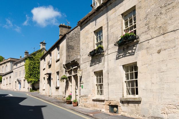
St Anne's
B&B · Painswick
A three-room bed and breakfast in a former wool merchant's house on Gloucester Street, Painswick, suited to Cotswold Way walkers.
Dog-friendly · Walker-friendly · Car-free
Verified Oct 2026
Stay near the start
Inns, cottages and hotels within a short drive of where the walk begins, so you can set off early.
Where to stay in Painswick-
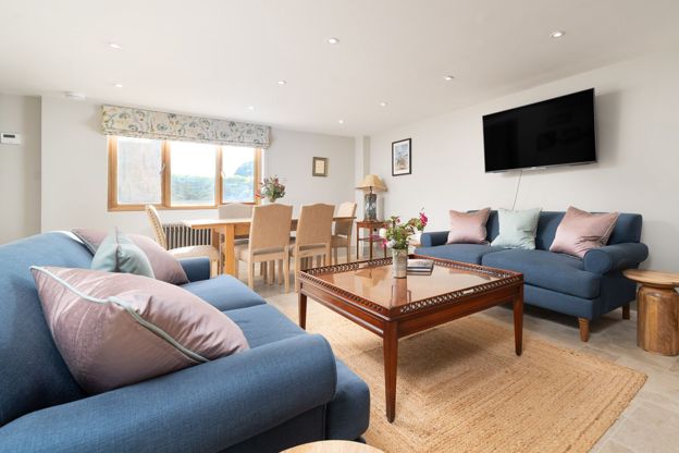
Barn Cottage, Painswick
Self-catering · Painswick
A three-bedroom barn conversion in Painswick, sleeping six in en suite rooms, with off-road parking, an enclosed courtyard and dogs welcome.
Dog-friendly
Verified Nov 2026
-
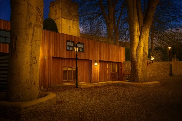
Stable Cottage, Painswick
Self-catering · Painswick
A two-bedroom barn conversion in Painswick sleeping four, with a private garden and a petanque piste, dogs welcome.
Dog-friendly
Verified Nov 2026
-
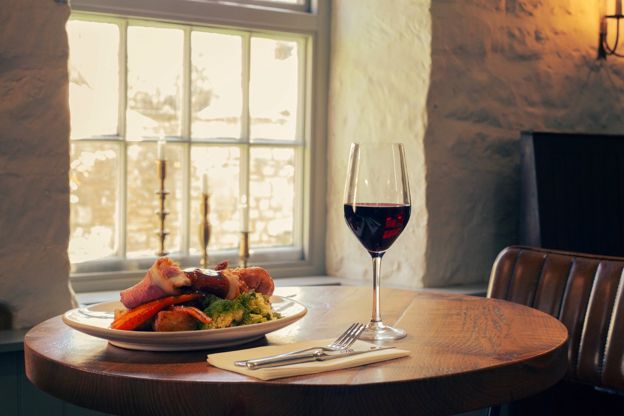
The Falcon Inn
Inn · Painswick
A family-run inn with eleven rooms on New Street, Painswick, established in 1828 and under new owners since February 2026, with dogs welcome throughout.
Dog-friendly · Wedding venues
Verified Oct 2026
More like this
Stories on this walk
-
Snowdrops in the Cotswolds
Story · Guides · 10 minute read
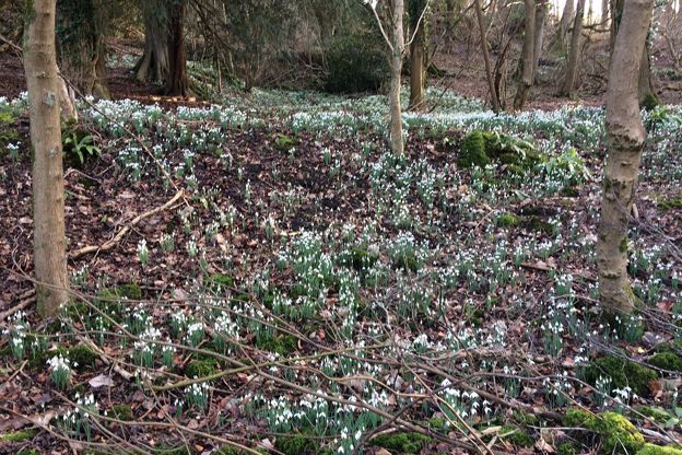
Where to see snowdrops in the Cotswolds, from Colesbourne Park's 350 varieties and the five million at Painswick Rococo Garden to Batsford, Rodmarton and Cerney House: when they peak, how each garden opens, what it costs and a winter walk to go with each.
-
The Cotswolds in February
Story · Guides · 8 minute read
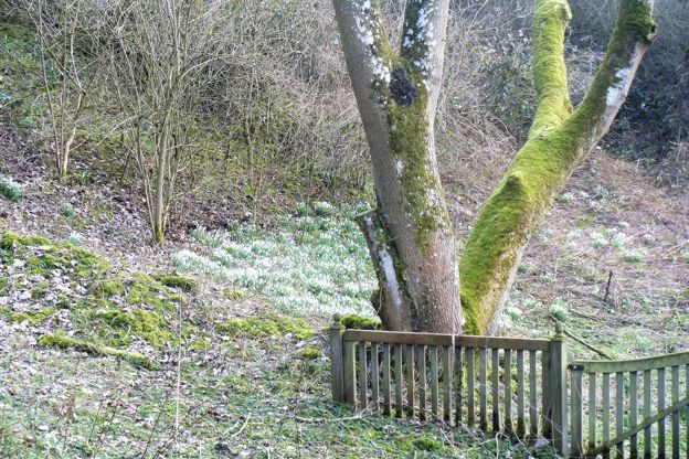
The Cotswolds in February: snowdrop month, with Colesbourne's weekends, Painswick's booked valley and Batsford, the Stroud Wassail, the first lambs, half term's one busy week, what is open, and three walks for the mud.
-
Why Cotswold stone is golden
Story · History · 9 minute read
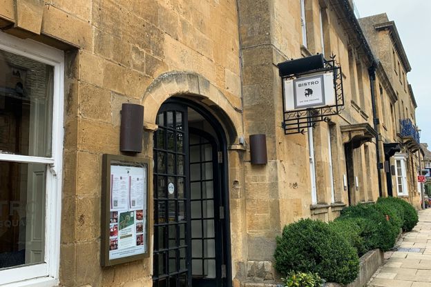
The Jurassic limestone that built the Cotswolds, the iron that colours it honey in the north and grey in the south, the quarries at Taynton, Barrington, Guiting and Painswick, the stone slate roofs and the dry-stone walls, and where to see each.
More walks to try
-

The Cotswold Way
Walk · Dog-friendly
The Cotswold Way is a 102-mile (164km) National Trail walk from Chipping Campden to Bath along the escarpment, in 15 sections; the official guidebook suggests seven to ten days, and its frequent steep climbs make it hard going.
-
The Laurie Lee Wildlife Way
Walk · Starts in Painswick · 2 hrs, 45 mins · Circular
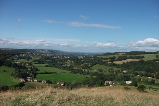
A 5-mile (8.4km) circular walk from Bulls Cross round the Slad valley, moderate with steep climbs and three to five hours with stops: Gloucestershire Wildlife Trust's loop by Longridge Wood, Snows Farm, Catswood and Swift's Hill, with ten posts carrying Laurie Lee's poems.
-
Haresfield Beacon and Standish Wood
Walk · Starts in Stroud and the Five Valleys · 2 hrs, 15 mins · Circular
A 4.5-mile (7.2km) circular walk from the National Trust's Shortwood car park, moderate and two to two and a half hours: south through the beeches of Standish Wood, down across the fields below the escarpment, and a long climb back to the hillfort on Haresfield Beacon.