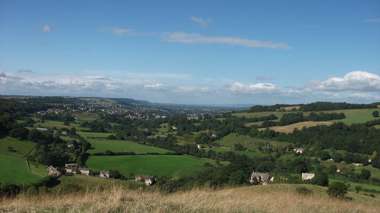
Heather from United Kingdom, CC BY 2.0, via Wikimedia Commons
The Laurie Lee Wildlife Way
A 5-mile (8.4km) circular walk from Bulls Cross round the Slad valley, moderate with steep climbs and three to five hours with stops: Gloucestershire Wildlife Trust's loop by Longridge Wood, Snows Farm, Catswood and Swift's Hill, with ten posts carrying Laurie Lee's poems.
- Distance
- 8.4 km (5.2 mi)
- Difficulty
- Moderate
- Time
- 2 hrs, 45 mins
- Ascent
- 327 m
- Circular
- Circular
The route
Starts at Bulls Cross, on the B4070 above Slad follows the Laurie Lee Wildlife Way for a while Steep sectionMuddy in winterLivestock in fieldsRoad walking Download GPX
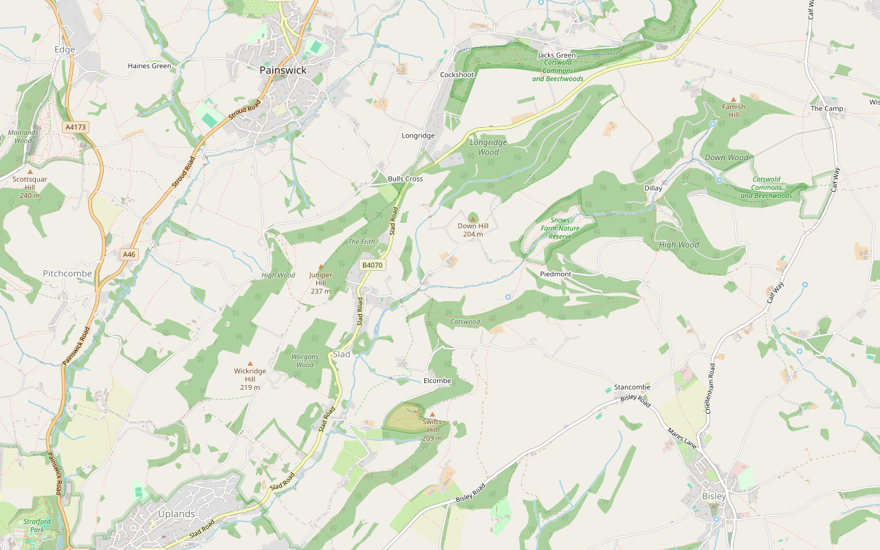
Step by step
-
Step 1: Bulls Cross to Snows Farm
From the layby opposite the Bulls Cross sign, walk a short way along the B4070 and turn onto the public footpath, a track heading east into the valley. Follow the Trust's red arrows along the track towards Longridge Wood, then take the footpath down towards Slad Brook and climb the steep slope beyond, the hardest pull of the walk, to Slad Slope and the edge of Snows Farm Nature Reserve.
-
Step 2: Through Catswood
Turn south on the footpaths past Snows Farm, cross the Dillay Brook and follow the path west through Catswood. A short byway and a farm track bring you out on Catswood Lane.
-
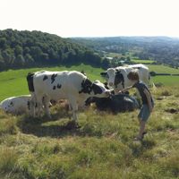
Step 3: Elcombe and Swift's Hill
Walk down Catswood Lane, take the footpath to Elcombe and join Knapp Lane. Leave the lane on the footpaths over Swift's Hill, the Wildlife Trust's grassland reserve, and come back down to Knapp Lane by Knapp Farm.
-
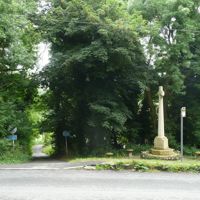
Step 4: Down to Slad Brook
Take the restricted byway north-west past Furners Farm and follow it down into the valley to cross Slad Brook. A lane climbs to the B4070 at the north end of Slad, by a memorial. The Woolpack is about 400m down the road to the left.
-
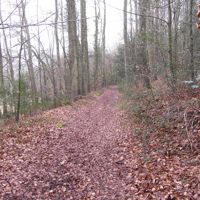
Step 5: Up through The Frith
Cross the B4070 with care and climb the public bridleway north through the woods of The Frith back to Bulls Cross. The Trust says the paths here cross the slope diagonally, with gradients of up to 10% in places.
Sights on the way
The sights this walk passes, numbered as on the map.
-
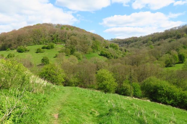
Snows Farm Nature Reserve
Sight · Nature reserve · Stroud and the Five Valleys
Snows Farm is a Gloucestershire Wildlife Trust reserve of 21 hectares at the head of the Slad valley: old limestone grassland, ancient beech wood and the Dillay Brook, with more than 300 kinds of plant, grazed by cattle and Dartmoor ponies, on the Laurie Lee Wildlife Way.
-
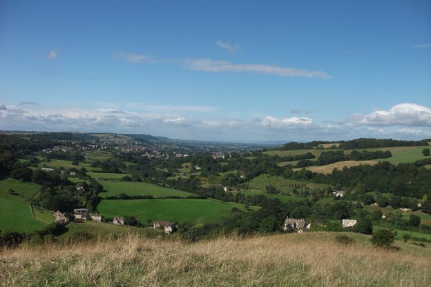
Swift's Hill
Sight · Nature reserve · Stroud and the Five Valleys
Swift's Hill is a Gloucestershire Wildlife Trust reserve of 10 hectares of steep limestone grassland above the Slad valley, an SSSI with more than 130 kinds of wildflower, 13 orchids and 29 butterflies, on a hill that appears in Laurie Lee's Cider with Rosie.
-
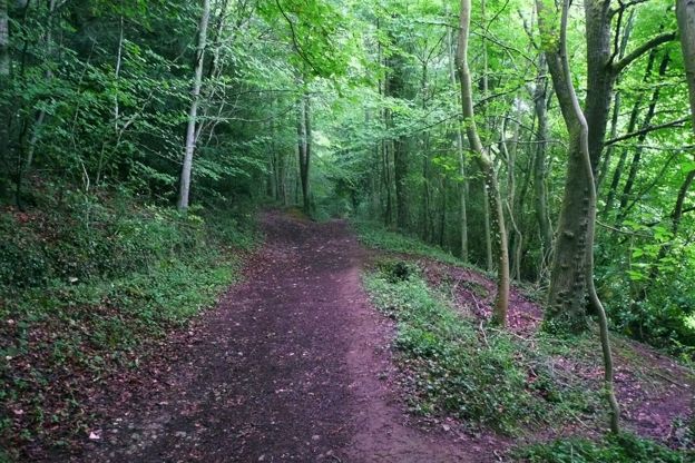
Frith Wood
Sight · Wood · Stroud and the Five Valleys
Frith Wood is an ancient beech wood of 24 hectares on the ridge between the Painswick and Slad valleys, a Gloucestershire Wildlife Trust reserve and SSSI recorded as beech woodland for over 1,000 years, with bluebells, wild garlic and woodruff in spring.
The walk in detail
The Laurie Lee Wildlife Way is a 5-mile (8.4km) circular walk round the Slad valley from Bulls Cross, on the B4070 between Painswick and Stroud, past ten posts carrying Laurie Lee's poems. It is moderate but steep in places, with about 330m of climbing, takes three to five hours with stops, and passes near the Woolpack.
Gloucestershire Wildlife Trust created it in 2013 to show the landscape of Cider with Rosie, and it links the Trust's nature reserves in the valley. AllTrails puts the walking time alone at two and a half to three hours.
The reserves and the poetry posts
The walk is a string of reserves. Longridge Wood comes first, then Snows Farm Nature Reserve on the far side of the valley. Catswood is ancient woodland of ash, beech and hazel. Laurie Lee Wood, on Knapp Lane at Elcombe, is ancient woodland the Trust says dates back beyond 1600, and a rare snail, Lauria sempronii, lives in a stone wall there. Swift's Hill, past the halfway point, is limestone grassland where the Trust records 13 species of orchid, autumn lady's tresses among them. The walk ends through Frith Wood.
On the unimproved grassland of the slopes the Trust lists harebells, thyme and yarrow, and in the woods bluebells in spring and the turning beech leaves in autumn. The ten poetry posts are wooden, each with lines from Lee's work. The Trust names one, Home From Abroad, by Slad Slope, and another, Landscape, at a viewpoint.
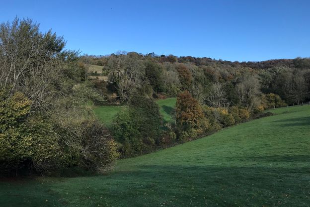
Slad and Laurie Lee
The Trust says the name Slad is thought to come from an old Saxon word for a damp valley, and that Laurie Lee is buried between the village's small church and the Woolpack. The route crosses the B4070 at the north end of the village. The pub and the churchyard are a detour of about 400m down the road. Our piece on famous Cotswold people has more on Lee and the valley.

The Cotswolds Info newsletter
Events, new places and the best of the season, about once a month. Unsubscribe at any time.
Food and drink
The Woolpack at Slad, which CAMRA describes as Laurie Lee's local, calls itself a tiny, dog-friendly pub. It has vine-covered terraces, and the Trust suggests it for lunch or a drink. When we checked its website in October 2026, the bar opened daily from noon and the dining room served lunch and dinner Tuesday to Sunday, with no food listed on Mondays. Walkers on AllTrails took the detour to it in January and June 2026. There is nothing else to eat on the route, so bring water and a snack. Our guide to Cotswold pubs covers the Woolpack and its beer.
Painswick, about a mile west of Bulls Cross by road, has more choice: the Falcon Inn on New Street has rooms, and our page on places to stay in Painswick has the rest.
What walkers report
Walkers on AllTrails in March and July 2026 found the climbs come at the beginning, the middle and the end, and the Trust singles out a steep climb of about 100m soon after the path drops towards Slad Brook. The Trust warns that the paths are uneven and muddy in wet weather and that the route is not suitable for wheelchairs. Good boots are worth it.
The Trust grazes rare-breed cattle on the slopes, on Swift's Hill from April to October, and walkers on AllTrails met a field full of cows in May 2026. The Trust asks for dogs on a lead on its reserves. On Snows Farm the footpath crosses a stile in front of the farmhouse. When the Trust walked the route in 2020, ash dieback had forced a diversion early on, so the path on the ground may differ from the leaflet map. Follow the red arrows and any signs, and carry the map.
Getting there
Park in the free layby on the B4070 opposite the Bulls Cross sign, where Yokehouse Lane meets the road; the Trust says cars are left at the owner's risk. There are a few more spaces in laybys on Knapp Lane, in the middle of the walk. The walk starts with a short stretch along the road, and later uses Catswood Lane and Knapp Lane, both quiet, and crosses the B4070 at Slad. The Trust sells a leaflet of the trail, illustrated by the local artist Andy Lovell.
More walks nearby
Over the ridge to the west, the walk from Painswick to Painswick Beacon climbs to an Iron Age hillfort, and the Painswick Stream follows the mill stream below the town. The Cotswold Way passes through Painswick, about a mile west of Bulls Cross, and runs south along the edge to Haresfield Beacon. Our guide to Stroud and the Five Valleys has the wider picture.
Stay near the start
Inns, cottages and hotels within a short drive of where the walk begins, so you can set off early.
Where to stay in Painswick-
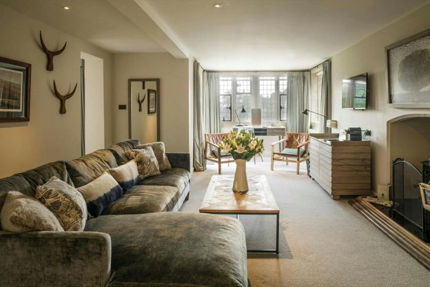
The Painswick
Hotel · Painswick
A 16-room hotel in a Palladian house on Kemps Lane, Painswick, part of the Calcot Collection, with an AA Rosette restaurant and dogs in some rooms.
Dog-friendly · Wedding venues
Verified Nov 2026
-
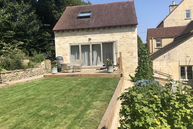
Cotswold Lodge
Self-catering · Painswick
A one-bedroom lodge on Stamages Lane, Painswick, for two adults and up to two young children, with a deck over the valley and free parking.
Verified Oct 2026
-
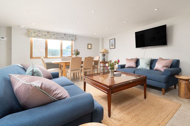
Barn Cottage, Painswick
Self-catering · Painswick
A three-bedroom barn conversion in Painswick, sleeping six in en suite rooms, with off-road parking, an enclosed courtyard and dogs welcome.
Dog-friendly
Verified Nov 2026
More like this
Stories on this walk
-
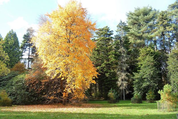
Autumn in the Cotswolds
Story · Guides · 10 minute read
Autumn in the Cotswolds, from Westonbirt's maples and Batsford to the beech woods of the escarpment, Blenheim's park and the Slad valley: when the colour comes, the best autumn walks, the October events, how to miss the half-term crowds, what to wear and where to stay for a fire.
-
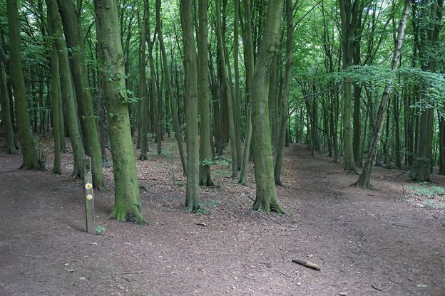
Bluebell woods in the Cotswolds
Story · Guides · 10 minute read
The best bluebell woods in the Cotswolds, from Westonbirt's Silk Wood and Lynches Wood below Dover's Hill to Standish Wood, Frith Wood, Siccaridge Wood and Foxholes: when they flower, who looks after each wood, where to park, the dog rule and the walk that goes through it.
-
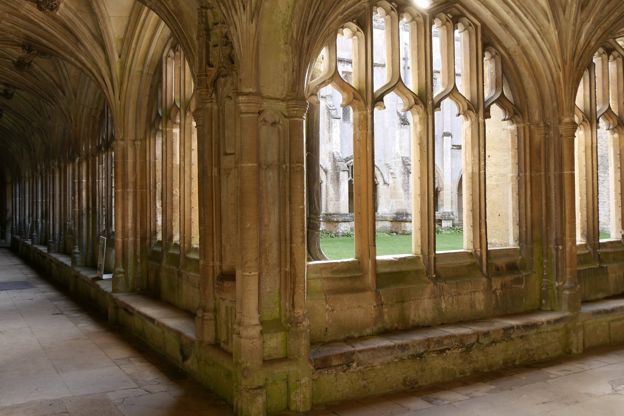
Cotswold film and TV locations
Story · Guides · 11 minute read
Where Clarkson's Farm, Downton Abbey, Harry Potter, Father Brown, Poldark, Bridget Jones and Cider with Rosie were filmed in and around the Cotswolds, what you can see today, and the claims that do not stand up.
More walks to try
-
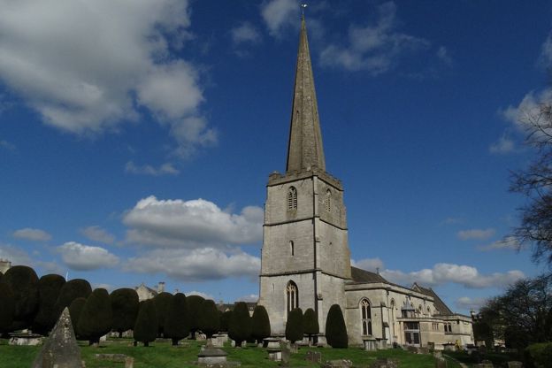
Painswick and Painswick Beacon
Walk · Starts in Painswick · 2 hrs, 45 mins · Circular · Dog-friendly
A 5-mile (8.2km) circular walk from Painswick, moderate and two and a half to three hours, with 250m of climbing: out by Butt Green and the Holcombe farms, over the B4073 and up to the Iron Age ramparts on Painswick Beacon, then down past the golf course and the Rococo Garden.
-

The Cotswold Way
Walk · Dog-friendly
The Cotswold Way is a 102-mile (164km) National Trail walk from Chipping Campden to Bath along the escarpment, in 15 sections; the official guidebook suggests seven to ten days, and its frequent steep climbs make it hard going.
-
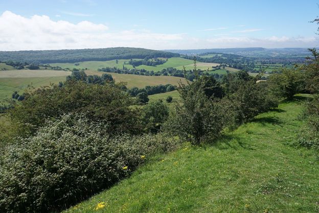
Haresfield Beacon and Standish Wood
Walk · Starts in Stroud and the Five Valleys · 2 hrs, 15 mins · Circular
A 4.5-mile (7.2km) circular walk from the National Trust's Shortwood car park, moderate and two to two and a half hours: south through the beeches of Standish Wood, down across the fields below the escarpment, and a long climb back to the hillfort on Haresfield Beacon.