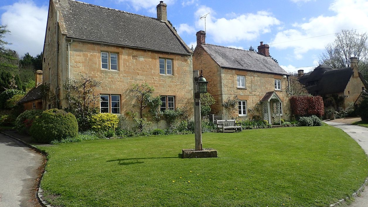
Marathon, CC BY-SA 2.0, via Wikimedia Commons
Cotswold Way: Broadway to Wood Stanway
A 6.5-mile (10.5km) one-way walk on the second section of the Cotswold Way, from Broadway's green, moderate and three to three and a half hours: a long climb to Shenberrow, a steep descent into Stanton, then field paths by Stanway's church and gatehouse to Wood Stanway.
- Distance
- 10.5 km (6.5 mi)
- Difficulty
- Moderate
- Time
- 3 hrs, 15 mins
- Ascent
- 248 m
- Circular
- One way
The route
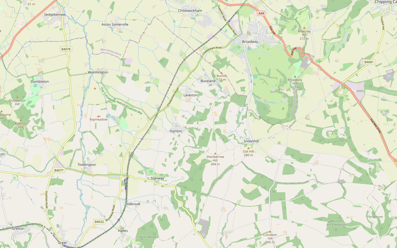
Starts at The Green, Broadway follows the Cotswold Way for a while Steep sectionMuddy in winterLivestock in fieldsDogs on lead near sheepStiles Download GPX
Step by step
-
Step 1: Broadway green to the top fields
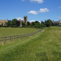
From the Green, follow Church Street south-west past St Michael’s Church, and take the Cotswold Way footpath on the left beyond Austin House. Follow the acorn waymarks south through the fields, past the Badsey Brook flood storage area, and climb steeply to a restricted byway near Manor Farm, about 2km from the start.
- Steep section
- Muddy in winter
-
Step 2: Along the top to Shenberrow
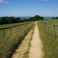
Follow the byway south, climbing gently for about 2.5km past Laverton Hill Farm and the edge of Snowswood, then keep on along a bridleway by Littleworth Wood and Long Hill Plantation to Shenberrow Buildings, at about 300m the highest point of the walk.
- Dogs on lead
-
Step 3: Down to Stanton
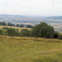
Take the footpath down the edge. The descent to Stanton is about 1.8km and drops nearly 200m, steep in places and muddy after rain, and the National Landscape’s leaflet for this slope notes two stiles. Come into Stanton at the top of the village and walk down the High Street past the cross.
- Steep section
- Muddy in winter
- Stiles
-
Step 4: Stanton to Stanway
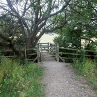
Follow Stanway Road out of the village, then the footpath south-west through the fields and past Ash Coppice for about 2km to the lane at Stanway, by the tithe barn, St Peter’s Church and the gatehouse of Stanway House.
-
Step 5: Stanway to Wood Stanway
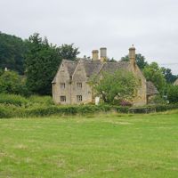
Leave the lane on the footpath south and follow the waymarks across the fields for about 1.2km to the hamlet of Wood Stanway, where the section ends by Wood Stanway House.
Sights on the way
The sights this walk passes, numbered as on the map.
-
Shenberrow Camp
Sight · Hill fort or barrow · Stanton
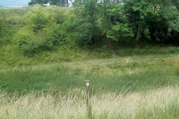
Shenberrow Camp is a small Iron Age hill fort on the Cotswold Edge above Stanton, a D-shaped enclosure of about 1.9 hectares inside two banks and ditches, nearly 300m up beside Shenberrow Buildings farm. The Cotswold Way runs through it. A scheduled monument.
-
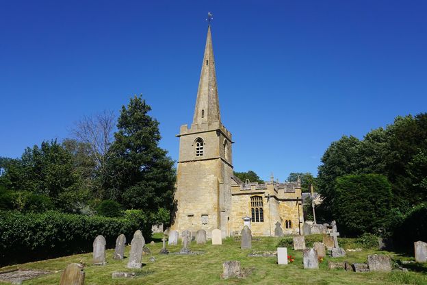
St Michael and All Angels, Stanton
Sight · Church · Stanton
St Michael and All Angels is Stanton's Grade I church, of the twelfth to seventeenth century, with a spired west tower, medieval wall paintings and a rood loft and east window by Sir Ninian Comper. It stands on Church Lane, by the cross and the Cotswold Way.
-
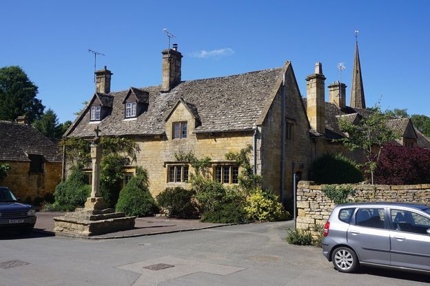
Stanton village cross
Sight · Monument · Stanton
Stanton's village cross stands where the High Street meets Church Lane: medieval steps and socket stone carrying a later shaft topped by a sundial, a ball and a cross. Listed Grade II and a scheduled monument, it is on the Cotswold Way, open at all times.
The walk in detail
The Cotswold Way from Broadway to Wood Stanway is a 6.5-mile (10.5km) one-way walk from the Green in Broadway over the top of the edge at Shenberrow and steeply down into Stanton. It is moderate, climbs about 250m, and takes three to three and a half hours, with the Mount Inn just off the path in Stanton.
It is the second of the fifteen sections into which the National Trail divides the Cotswold Way. Nearly all the climbing is in the first half; after Stanton it runs level through the fields to Stanway and Wood Stanway. Plan the way back before you start, because Wood Stanway has no bus.
The climb out of Broadway
The section starts on the Green, by the war memorial, and leaves the village down Church Street past St Michael’s, built in 1839 and restored in 1890. Beyond Austin House, a symmetrical stone house of about 1700, the trail takes to the fields. For the first kilometre it is level, past the Badsey Brook flood storage area, then it climbs hard to a byway near Manor Farm, about 80m higher. If you want a shorter outing, our loop by Pye Corner comes back down this slope.
Shenberrow and the top of the edge
The middle of the walk is a long, steady pull along the byway and then a bridleway, past Laverton Hill Farm and the woods of Snowswood, Littleworth Wood and Long Hill Plantation. The top, at about 300m, is by Shenberrow Buildings. The National Trail lists Shenberrow Camp among this section’s sights, and walkers single out the views from the top before the path turns down the edge.
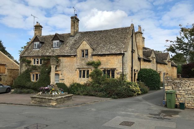
Stanton
Stanton is a spring-line village on the lower slopes of the edge. Sir Philip Stott, an architect from Oldham, bought it in 1906 and restored it, and in 1907 he lit it with electric lamps run from a generator at Stanton Court. The village cross on the High Street is medieval with seventeenth-century work, a tall shaft with a sundial and a ball finial under its cross. Old Manor Farmhouse opposite carries datestones of 1615, 1618 and 1622 and is listed Grade II*.
St Michael and All Angels, about 60m off the line, is Grade I, with an east window of 1918 by Comper that reuses medieval glass. The National Landscape’s walk from Stanton to Snowshill climbs this same stretch of the Cotswold Way, and our guide to Cotswold pubs covers the Mount Inn, the Donnington pub at the top of the village street, about 90m from the path. Its own site gives it as closed on Mondays and on Sunday evenings.
Stanway and Wood Stanway
At Stanway the path comes out on the lane between three listed buildings. The tithe barn was built around 1370 for Tewkesbury Abbey and restored in 1927 by Stott for the Earl of Wemyss, and is now the village hall. The gatehouse of Stanway House dates from about 1630, possibly by Timothy Strong of Barrington, for Sir Richard Tracy. Both are listed Grade I, and St Peter’s Church beside them, with twelfth-century work and a restoration of 1896, is Grade II*. Our guide to Cotswold country houses says when Stanway House opens.
The section ends at Wood Stanway, a hamlet below the edge. Wood Stanway House is early eighteenth century, extended in the nineteenth and twentieth, and listed Grade II.
What walkers report
Walkers on AllTrails describe the climb out of Broadway as long and steep, and the descent into Stanton as the part to watch: in reports from October 2024 to September 2026 they found it muddy, even after dry spells, and slippery after rain. They also point out that there are no toilets or cafés between Broadway and Wood Stanway, so take water and food. The National Trail warns that the Cotswold Way crosses farmland where sheep, cows and horses may be grazing, and asks walkers to keep at least 10m from livestock.

The Cotswolds Info newsletter
Events, new places and the best of the season, about once a month. Unsubscribe at any time.
Getting back, and getting there
Wood Stanway has no bus. The simplest way back is to leave the trail at Stanton: the 606 to Broadway stops at the Stanton turn on the main road, about half a mile from the village, Monday to Saturday only. Otherwise walk on along the next section, 5.4 miles past Beckbury Camp and Hailes Abbey to Winchcombe, where the 606 runs back to Broadway about every two hours, Monday to Saturday. The Hailes and Beckbury Camp walk covers part of that next section.
In Broadway, the long-stay car parks at Milestone Ground and Shear House charge £4 for up to ten hours. Walkers report a small free car park in Stanton if you want to walk only part of the section.
Before or after the walk, the Lygon Arms on Broadway's High Street is a historic coaching inn in a building of the early seventeenth century, and dogs are welcome; our page on places to stay in Broadway covers the village's hotels and inns for a night at the start.
Places on the way
-

Gordon Russell Design Museum
Museums and galleries · Broadway
A museum of the furniture designer Gordon Russell in one of his former workshops on Russell Square, Broadway, open Tuesday to Sunday, with a ticket that lasts a year.
Rainy days
Verified Nov 2026
-
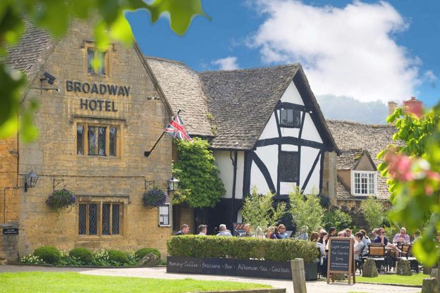
The Broadway Hotel
Hotel · Broadway
A sixteenth-century inn on Broadway's green with 19 rooms and seven cottages, a brasserie with two AA Rosettes, and dogs staying free in some rooms when you book direct.
Dog-friendly
Verified Nov 2026
-
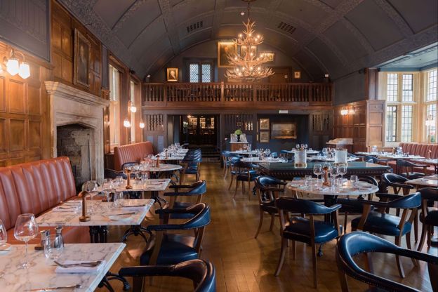
The Lygon Arms
Hotel · Broadway
A historic coaching inn on Broadway's High Street, first recorded in 1377, now a hotel with James Martin's Grill and Tavern, a spa with a pool, and dogs welcome.
Dog-friendly · Wedding venues · EV charging
Verified Nov 2026
-
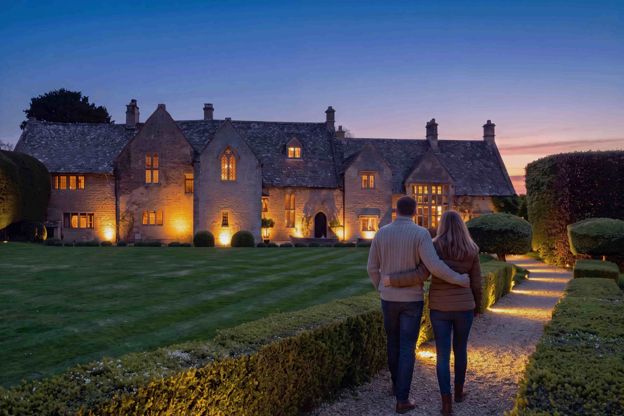
Abbots Grange
B&B · Broadway
A fourteenth-century house on Church Street, Broadway, said to have been the summer manor of the abbots of Pershore, with ten rooms and suites for adults and a full breakfast.
EV charging
Verified Oct 2026
-
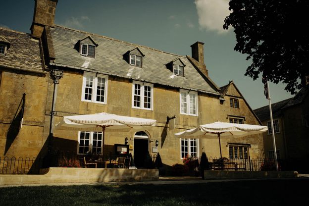
Russell's of Broadway
Inn · Broadway
A steak and seafood grill with eight rooms on Broadway's High Street, including a luxury suite and ground-floor rooms, with a full English breakfast included.
Verified Nov 2026
-
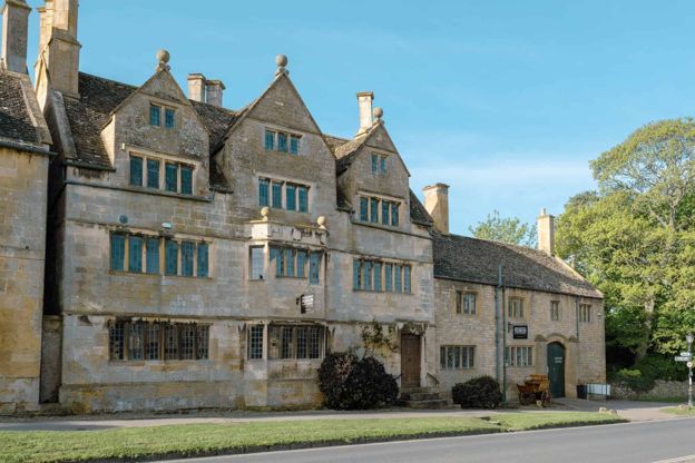
Broadway Museum and Art Gallery
Museums and galleries · Broadway
A museum and gallery in Broadway's Tudor House on the High Street, with John Singer Sargent's portrait of Elizabeth Eberstadt among its paintings, free for under-16s.
Rainy days
Verified Nov 2026
Stay near the start
Inns, cottages and hotels within a short drive of where the walk begins, so you can set off early.
Where to stay in Broadway-
House of George
Restaurants · Broadway
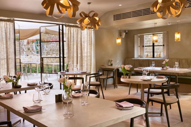
A restored seventeenth-century house on Broadway's High Street with ten bedrooms, a relaxed lunch from Wednesday to Sunday and Moda, its fine-dining restaurant, from Wednesday to Saturday evenings.
Verified Oct 2026
-
Foxhill Manor
Hotel · Broadway
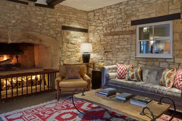
An eight-bedroom house on the Farncombe estate above Broadway, run as a small hotel where meals and drinks are included, with the spa at Dormy House and dogs welcome.
Dog-friendly · Hot tubs · Wedding venues
Verified Oct 2026
-
The Fish Hotel
Hotel · Broadway
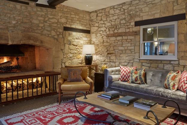
Rooms, suites, huts and three treehouses on a hillside of the Farncombe estate above Broadway, with Hook restaurant by Martin Burge and dogs welcome in set rooms.
Dog-friendly · Family-friendly
Verified Nov 2026
More like this
Stories on this walk
-
The Cotswolds without the crowds
Story · Guides · 15 minute read
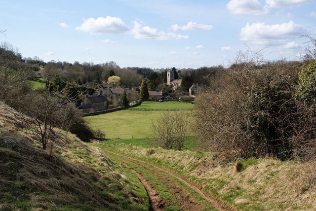
Five Cotswold villages take most of the visitors: Bibury, Bourton-on-the-Water, Castle Combe, Broadway and the Slaughters. Here is when each is busiest, what the councils have done about it, the best and worst hours, and the quieter village on the same river or ridge.
-
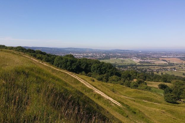
Walking, cycling and the outdoors in the Cotswolds
Story · Guides · 5 minute read
The Cotswold Way and other long walks, the cycle routes that follow the railway and the valleys, and the Cotswold Water Park's lakes: how to get outdoors in the Cotswolds.
More walks to try
-

The Cotswold Way
Walk · Dog-friendly
The Cotswold Way is a 102-mile (164km) National Trail walk from Chipping Campden to Bath along the escarpment, in 15 sections; the official guidebook suggests seven to ten days, and its frequent steep climbs make it hard going.
-
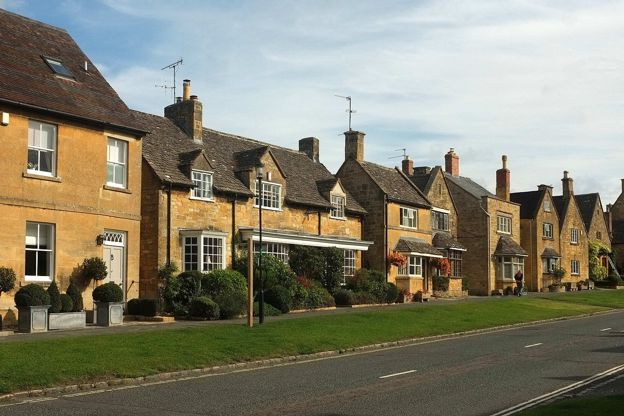
Broadway, Pye Corner and the Cotswold Way
Walk · Starts in Broadway · 1 hr, 45 mins · Circular · Dog-friendly
A 3.7-mile (6km) circular walk from Church Close car park in Broadway, about an hour and three quarters, moderate with one steep climb and descent. It crosses the fields south to Pye Corner, climbs to the Cotswold Way and comes down its fields to St Michael's.
-
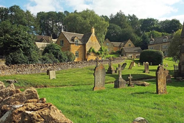
Stanton, Snowshill and the edge
Walk · Starts in Stanton · 4 hrs, 30 mins · Circular
A 6.6-mile (10.6km) moderate loop from Stanton of three and a half to four and a half hours, with steep sections and stiles: up the Cotswold Way, through Littleworth Wood to Snowshill and its manor, then back along the top to the Mount Inn, or 2.5 miles by a short cut.