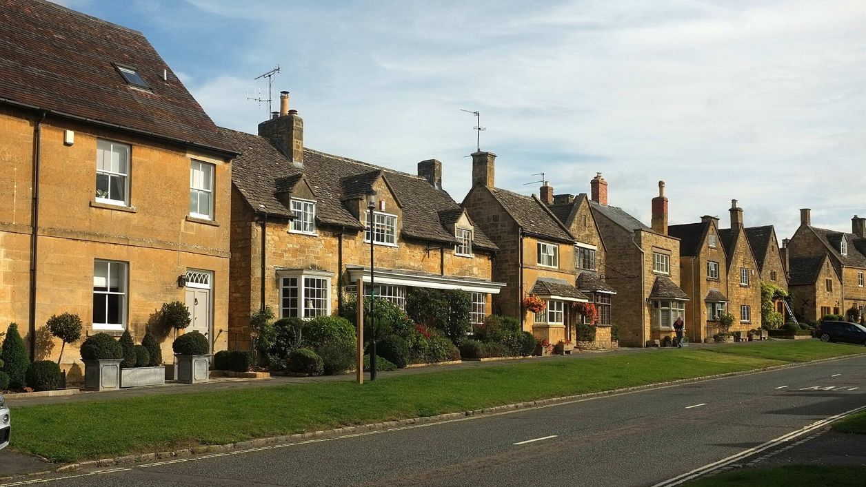
Derek Harper, CC BY-SA 2.0, via Wikimedia Commons
Broadway, Pye Corner and the Cotswold Way
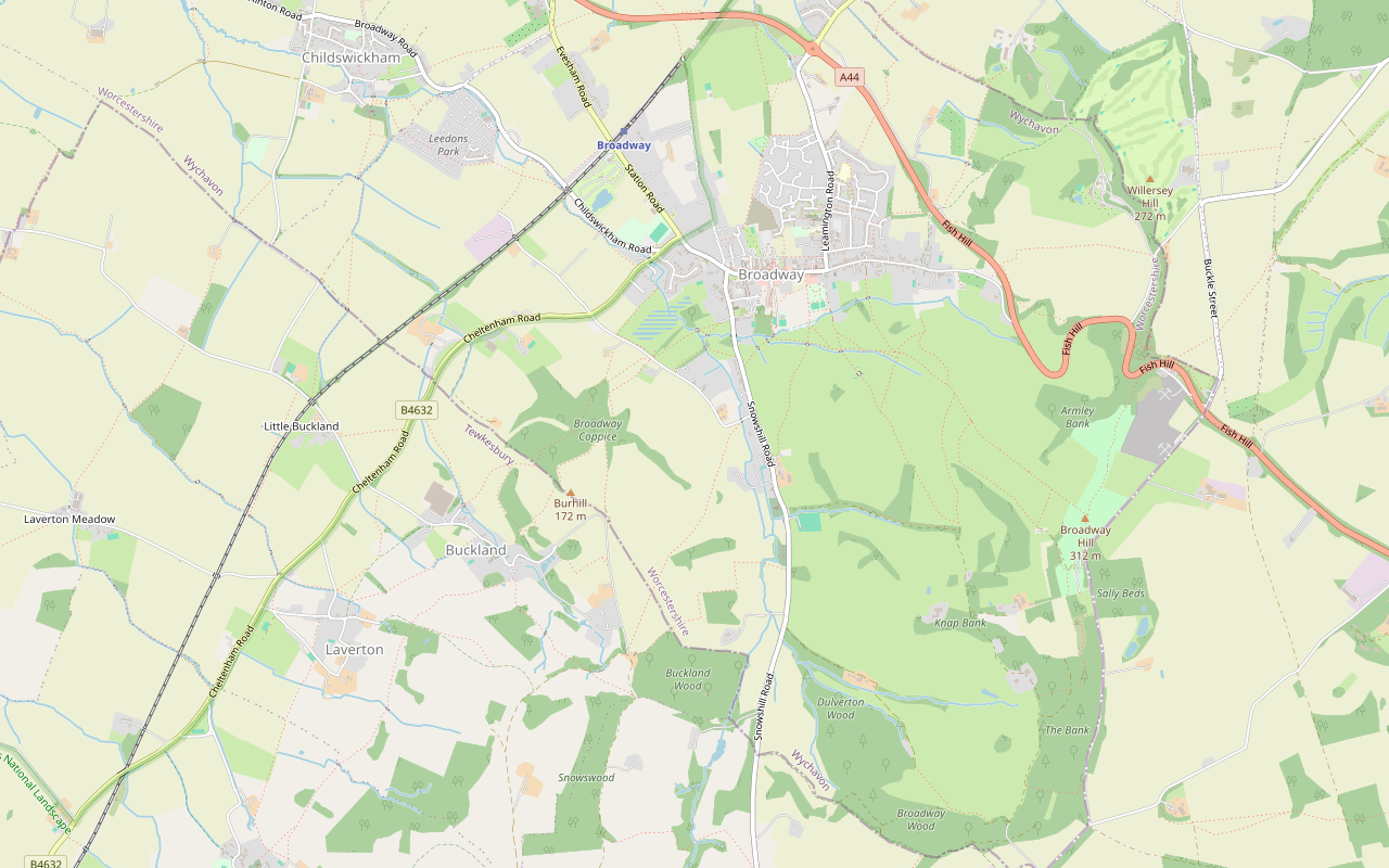
A 3.7-mile (6km) circular walk from Church Close car park in Broadway, about an hour and three quarters, moderate with one steep climb and descent. It crosses the fields south to Pye Corner, climbs to the Cotswold Way and comes down its fields to St Michael's.
- Distance
- 6.0 km (3.7 mi)
- Difficulty
- Moderate
- Time
- 1 hr, 45 mins
- Ascent
- 114 m
- Circular
- Circular
The route
Starts at Church Close car park, Broadway follows the Cotswold Way for a while Muddy in winterLivestock in fieldsDogs on lead near sheepSteep sectionStilesRoad walking Download GPX
Step by step
-
Step 1: Church Close to Tudor House
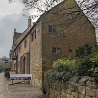
From the Church Close car park, follow the footpath south-east, then turn north up Kennel Lane to the High Street. Turn right along the High Street, past the Lygon Arms, to Tudor House and the Millennium Garden beside it.
-
Step 2: South to Pye Corner
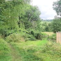
Take the footpath south beside the Activity Park and keep on across the fields for about two-thirds of a mile (1km) to Lybrook Farm. Follow the Snowshill road for about 250m, with traffic, past Pye Corner, then turn into West End Lane and cross the bridge.
- Muddy in winter
-
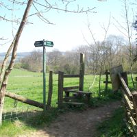
Step 3: Up by Lydbrook Coppice
Leave the lane by the footpath and climb south-west through the fields, past the edge of Lydbrook Coppice, for about a mile (1.4km). The climb is steady, then steep near the top, and the fields can hold sheep and horses.
- Steep section
- Dogs on lead
- Stiles
-
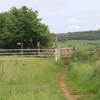
Step 4: Along the Cotswold Way
At the top, join the restricted byway, which is the Cotswold Way, and follow it north past Manor Farm for about half a mile (0.7km), with the vale opening out below.
-
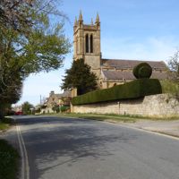
Step 5: Down to Broadway
Where the Cotswold Way leaves the byway, follow its footpaths downhill through the fields towards Broadway, past the Badsey Brook flood storage area, to Church Street by St Michael’s Church, and follow Church Close back to the car park.
- Steep section
- Muddy in winter
The walk in detail
The Broadway, Pye Corner and the Cotswold Way walk is a 3.7-mile (6km) circular route from Church Close car park in Broadway, through the quieter fields south of the village. It is moderate, with 114m of climbing and a steep descent, and takes about an hour and three quarters. The Lygon Arms is at the start and finish.
It comes home down the last mile and a half of the Cotswold Way before the trail reaches Broadway from the south. Allow longer if you stop in the village.
The High Street and Tudor House
The walk starts with Broadway at its best known: a few hundred metres of the High Street. The Lygon Arms is an early seventeenth-century inn, listed Grade II*, with a frieze dated 1620. Further along, Tudor House was built in 1659 and 1660 as a house and farm building. Its listing picks out the two-storey bay window, whose parapet carries three carved shields, the outer two dated 1659 and 1660. It is listed Grade II*.
Tudor House holds the Broadway Museum and Art Gallery, open from 10am to 4.30pm (last entry 4pm) and closed on Sundays. Its winter days are Monday to Thursday and Saturday, as it also closes on Fridays. Its 2026 show of finds from the 2016 flood works on Badsey Brook, which ties in with the end of this walk past the brook's flood storage area, ran until 23 October; finds from the Milestone Ground dig are on show in its place until 26 February 2027. The Gordon Russell Design Museum, in one of Russell's old workshops on Russell Square, is a short step off the High Street.
Pye Corner and the climb
The first half is a mile of level fields to Pye Corner, then the walk's one real climb. South of the Activity Park the path runs across the fields to Lybrook Farm, where you meet the Snowshill road for a short stretch. The house at the corner of West End Lane is Pye Corner: seventeenth century and late eighteenth, restored around 1900, of limestone rubble with a stone slate roof, and listed Grade II.
From West End Lane the climb begins. The path rises by about 90m in just under a mile (1.4km), past the edge of Lydbrook Coppice, to the top of the slope, where you join the Cotswold Way on a restricted byway near Manor Farm. This is the highest part of the walk, at about 180m.
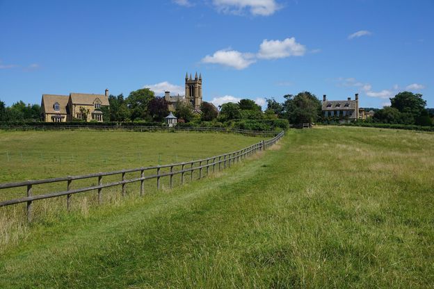
Down the Cotswold Way
The way home is the steepest part of the walk, down the Cotswold Way into Broadway. It is the first stretch of the National Trail's section from Broadway to Wood Stanway, walked in reverse, and our page on the Cotswold Way from Broadway to Wood Stanway carries on south from here. The descent runs through fields and past small patches of woodland, before the path levels out beside the Badsey Brook flood storage area.
You come out on Church Street by St Michael's, which was built in 1839 by H. Eginton and restored in 1890, with a First World War screen in the chancel. Also on Church Street, Austin House is a symmetrical house of about 1700 in limestone ashlar, with three gabled dormers, listed Grade II.
What walkers report
Walkers who have reviewed this loop on AllTrails agree on mud. From November to March they report wet, slippery fields and descents, and several say boots were not enough and wellies would have been better. In summer they found the ground dry and the path easy to follow, and in spring and summer wildflowers in the fields.
They report sheep and horses in several fields, cattle in a few, and electric fencing beside horses, so dogs need a short lead there. There are stiles, and walkers found dog gates beside some of them. Some prefer to go round anticlockwise, the reverse of the directions here, so that they climb the woodland stretch above Broadway rather than slide down it. Once out of the village, walkers report meeting few people, which makes this a quieter choice than the walk to Broadway Tower.

The Cotswolds Info newsletter
Events, new places and the best of the season, about once a month. Unsubscribe at any time.
Parking, buses and food
Park in Church Close car park, behind the High Street, and come early on fine days. It is Wychavon's short-stay car park, charged from 8am to 6pm every day (£3 for four hours in 2026), with accessible toilets, and walkers report that it fills early. The 606 bus from Cheltenham and Winchcombe stops at the Lygon Arms about every two hours, Monday to Saturday.
There is nowhere to eat on the loop itself, but the High Street is on the way out and back. Russell's of Broadway and the Broadway Hotel are within a couple of hundred metres of the route, and the Lygon Arms, which welcomes dogs, has its Grill. For more rooms, see places to stay in Broadway.
Longer walks from Broadway
Two more loops start in or above the village. For the hill east of Broadway, Broadway and Broadway Tower is the National Landscape's 4-mile loop up to the tower and back down the Cotswold Way. Snowshill and Snowswood is a short, steep loop from the hill village above Broadway, and our Snowshill guide has more on it.
Places on the way
-
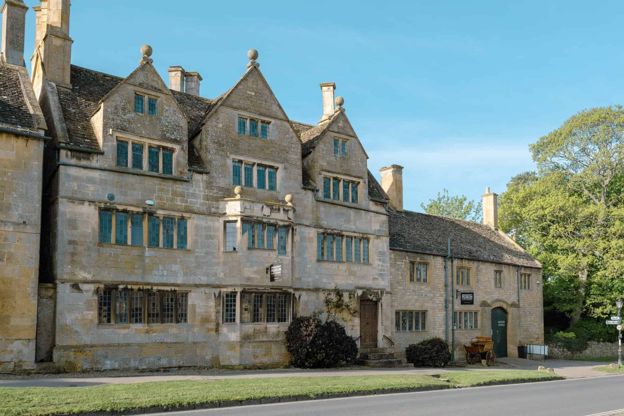
Broadway Museum and Art Gallery
Museums and galleries · Broadway
A museum and gallery in Broadway's Tudor House on the High Street, with John Singer Sargent's portrait of Elizabeth Eberstadt among its paintings, free for under-16s.
Rainy days
Verified Nov 2026
-

Gordon Russell Design Museum
Museums and galleries · Broadway
A museum of the furniture designer Gordon Russell in one of his former workshops on Russell Square, Broadway, open Tuesday to Sunday, with a ticket that lasts a year.
Rainy days
Verified Nov 2026
-
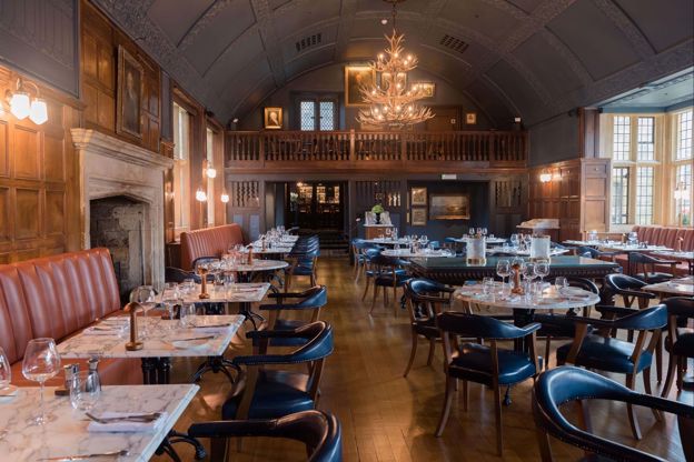
The Lygon Arms
Hotel · Broadway
A historic coaching inn on Broadway's High Street, first recorded in 1377, now a hotel with James Martin's Grill and Tavern, a spa with a pool, and dogs welcome.
Dog-friendly · Wedding venues · EV charging
Verified Nov 2026
-
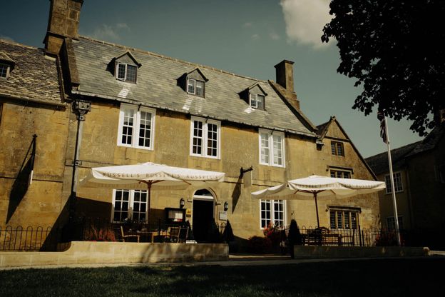
Russell's of Broadway
Inn · Broadway
A steak and seafood grill with eight rooms on Broadway's High Street, including a luxury suite and ground-floor rooms, with a full English breakfast included.
Verified Nov 2026
-
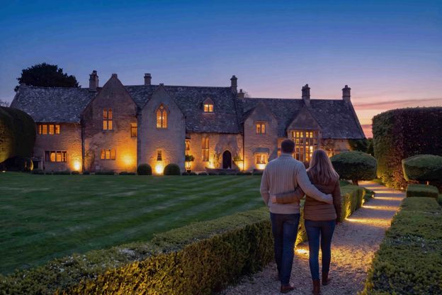
Abbots Grange
B&B · Broadway
A fourteenth-century house on Church Street, Broadway, said to have been the summer manor of the abbots of Pershore, with ten rooms and suites for adults and a full breakfast.
EV charging
Verified Oct 2026
-
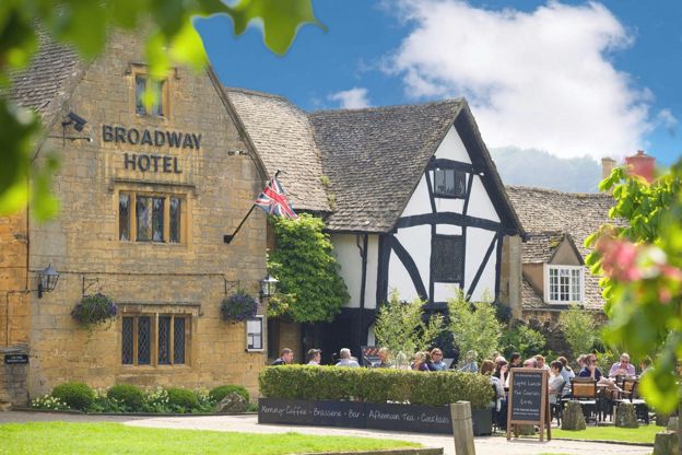
The Broadway Hotel
Hotel · Broadway
A sixteenth-century inn on Broadway's green with 19 rooms and seven cottages, a brasserie with two AA Rosettes, and dogs staying free in some rooms when you book direct.
Dog-friendly
Verified Nov 2026
Stay near the start
Inns, cottages and hotels within a short drive of where the walk begins, so you can set off early.
Where to stay in Broadway-
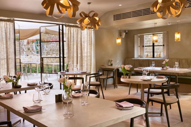
House of George
Restaurants · Broadway
A restored seventeenth-century house on Broadway's High Street with ten bedrooms, a relaxed lunch from Wednesday to Sunday and Moda, its fine-dining restaurant, from Wednesday to Saturday evenings.
Verified Oct 2026
-
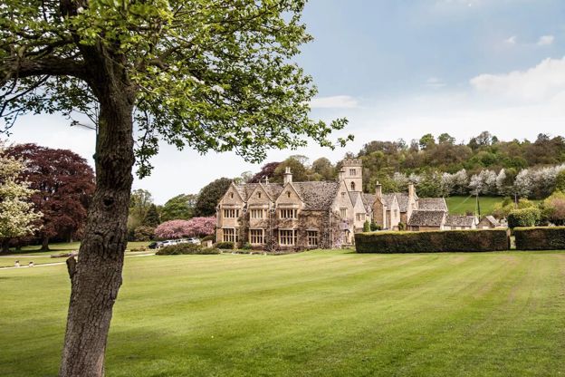
Buckland Manor
Hotel · Broadway
A country house hotel in a Grade II* manor house with 15 bedrooms in ten acres of gardens at Buckland, near Broadway, with a restaurant, tennis and croquet.
Dog-friendly · Family-friendly
Verified Oct 2026
-
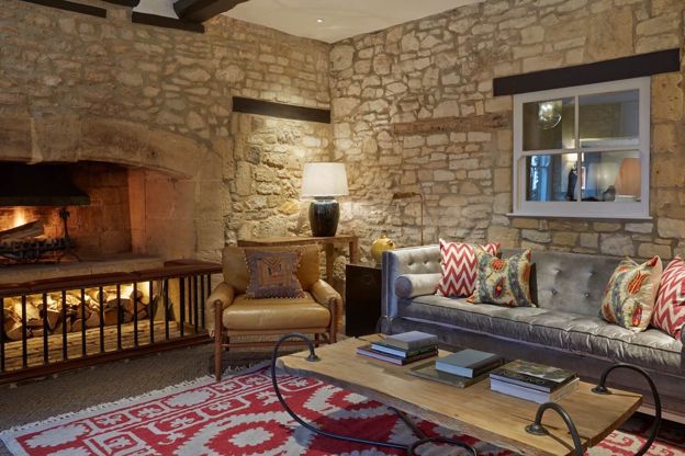
Foxhill Manor
Hotel · Broadway
An eight-bedroom house on the Farncombe estate above Broadway, run as a small hotel where meals and drinks are included, with the spa at Dormy House and dogs welcome.
Dog-friendly · Hot tubs · Wedding venues
Verified Oct 2026
More like this
More walks to try
-

The Cotswold Way
Walk · Dog-friendly
The Cotswold Way is a 102-mile (164km) National Trail walk from Chipping Campden to Bath along the escarpment, in 15 sections; the official guidebook suggests seven to ten days, and its frequent steep climbs make it hard going.
-
Cotswold Way: Broadway to Wood Stanway
Walk · Starts in Broadway · 3 hrs, 15 mins · Dog-friendly
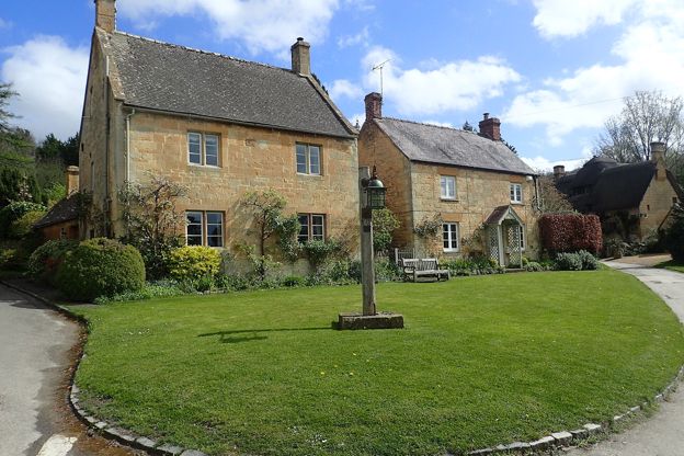
A 6.5-mile (10.5km) one-way walk on the second section of the Cotswold Way, from Broadway's green, moderate and three to three and a half hours: a long climb to Shenberrow, a steep descent into Stanton, then field paths by Stanway's church and gatehouse to Wood Stanway.
-
Broadway and Broadway Tower
Walk · Starts in Broadway · 3 hrs · Circular
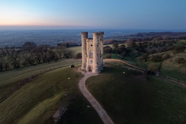
A 4-mile (6.5km) circular walk from the war memorial in Broadway, two and a half to three hours, moderate with steep sections and no stiles. It passes St Eadburgha's, climbs Coneygree Lane to Broadway Tower and comes back down the Cotswold Way.