Colin Watts on Unsplash
Broadway and Broadway Tower
A 4-mile (6.5km) circular walk from the war memorial in Broadway, two and a half to three hours, moderate with steep sections and no stiles. It passes St Eadburgha's, climbs Coneygree Lane to Broadway Tower and comes back down the Cotswold Way.
- Distance
- 6.5 km (4.0 mi)
- Difficulty
- Moderate
- Time
- 3 hrs
- Circular
- Circular
The route
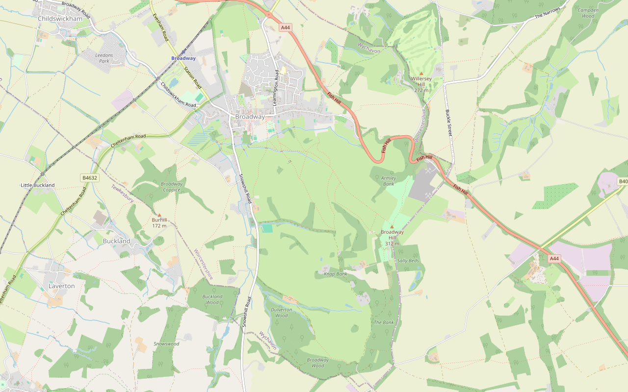
Starts at The war memorial at the bottom of the High Street, Broadway follows the Cotswold Way for a while Steep sectionMuddy in winterCafé on routeRoad walking Download GPX
Step by step
-
Step 1: Broadway to St Eadburgha's
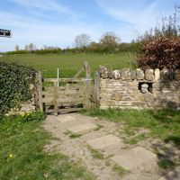
From the war memorial at the bottom of the High Street, walk east up the street past the red phone boxes and the shops to a sign on the right for the activity park and picnic area. Follow the path with the playground on your left, go through the gate at the end, cross the field, and go through a gate, over a small footbridge and through another gate into a ridge and furrow field. The ground by these gates is muddy after rain. Follow the arrows through two more gates and fields to Snowshill Road, then turn left and walk up the road, watching for traffic, to St Eadburgha's Church.
- Muddy in winter
-
Step 2: Up Coneygree Lane
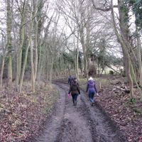
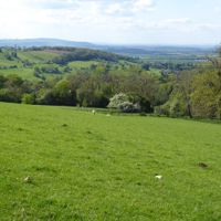
Just opposite the church, turn left through the gateway into Coneygree Lane and follow the track uphill for just over half a mile (0.8km). At the top, turn right through a 2-in-1 gate and follow the path across the field, passing to the right of the house. Follow the track for 200m, then turn left through another 2-in-1 gate just after two stone gate posts.
-
Step 3: Rookery Farm to the tower
Walk up the track to Rookery Farm and, keeping the farm buildings on your left, carry straight on up the track. Go through a gate on the left, past the gatehouse, across the field and through the gate into the café grounds. By the main entrance, go through the tall gate and up to the tower.
- Café
-
Step 4: Down the Cotswold Way
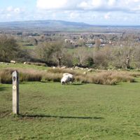
Go through the second high gate below the tower onto the Cotswold Way and turn left down to a gate. Follow the Cotswold Way signs downhill for a mile (1.6km), with a dry-stone wall on your right and one flight of steps. Where the path levels out, follow the signs through two gates and over a stream, heading for the houses at the far side of the last field. Go through two more gates and along the alley to the road, then turn left down the High Street to the war memorial.
Sights on the way
The sights this walk passes, numbered as on the map.
-
St Eadburgha's Church, Broadway
Sight · Church · Broadway
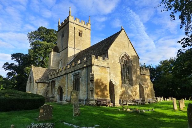
St Eadburgha's is Broadway's old parish church, out on Snowshill Road a mile from the village: a cross-shaped church of the twelfth century and about 1400, with a crossing tower, Tudor and Stuart brasses and medieval woodwork. Grade I; open daily, 10am to 4pm.
The walk in detail
The Broadway and Broadway Tower walk is a 4-mile (6.5km) circular route from the war memorial in Broadway up to Broadway Tower, 312m up on Beacon Hill. It takes two and a half to three hours, is moderate with steep sections and has no stiles. There is a café by the tower and the Lygon Arms at the end.
It is the second of the Cotswolds National Landscape's Cotswold Way Circular Walks: it climbs by an old church and a medieval lane and comes back down on the Cotswold Way. The National Landscape last reviewed the route in April 2026.
St Eadburgha's and Coneygree Lane
The way up leaves Broadway by the fields to St Eadburgha's church and climbs Coneygree Lane. From the High Street the walk goes by the activity park and crosses fields, one of them ridge and furrow, to Snowshill Road. St Eadburgha's stands beside the road, outside the village. The leaflet says parts of it go back to the eleventh century. Its listing dates most of the church to about 1400, with remains of the late twelfth century, and grades it I; the pulpit and choir benches keep some medieval carved woodwork. It was restored in 1866.
Opposite the church, Coneygree Lane climbs for half a mile. The leaflet says it takes its name from a medieval free rabbit warren, granted here by Henry III in 1251. Beyond it, the route goes by field paths and farm tracks to Rookery Farm and the country park around the tower.
Broadway Tower
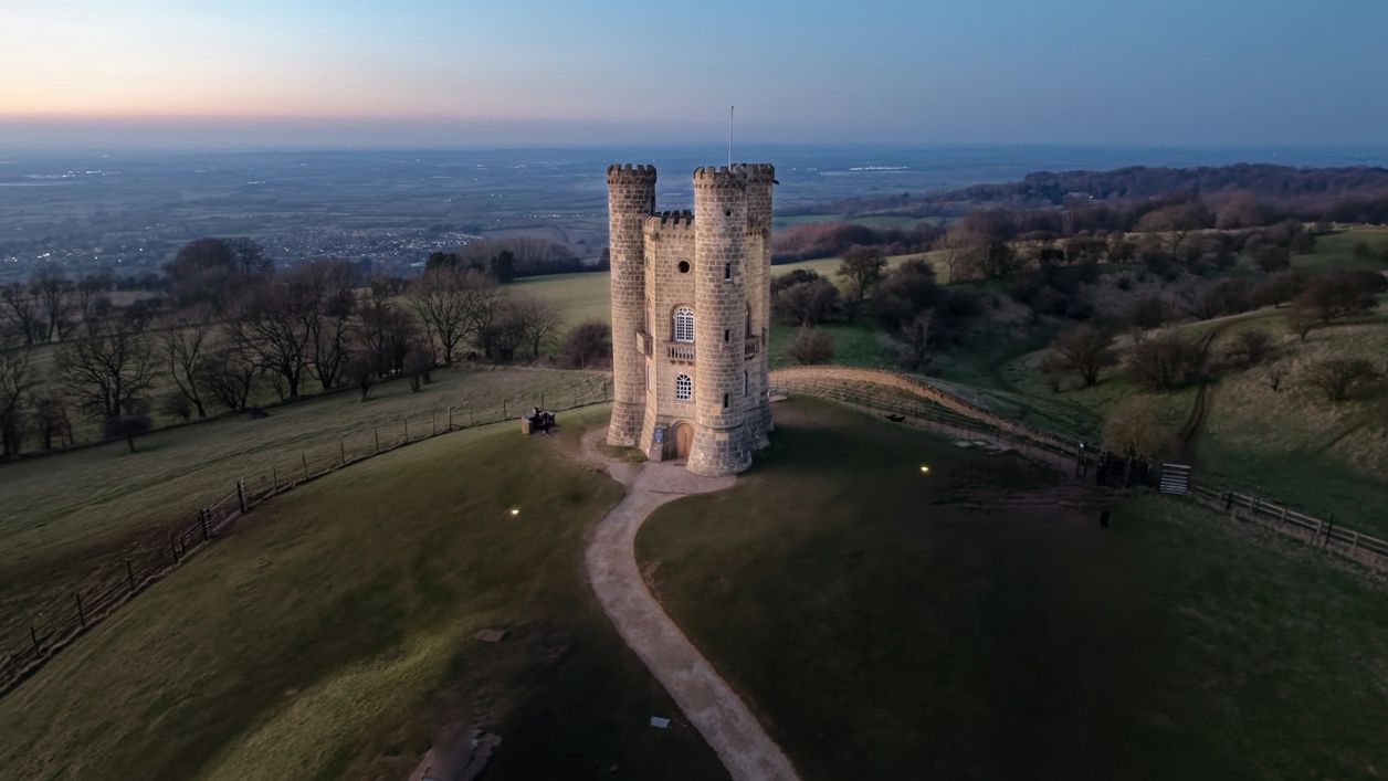
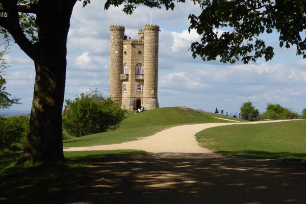
Broadway Tower is a folly of 1798, and the high point of the walk. James Wyatt built it for the Earl of Coventry, with three round turrets and four storeys, and it is listed Grade II. Its listing records that Sir Thomas Phillipps ran a printing press in it from 1822 to 1862, and that William Morris and Edward Burne-Jones stayed there. It opened to visitors in 1976 and is family-owned today, in a 200-acre estate with a herd of red deer.
The leaflet calls this the second highest point in the Cotswolds, with views as far as South Wales, and says that from the top of the tower you can see 13 counties on a clear day; the tower’s own site claims 16. The tower charges for entry; walkers without a ticket are asked to keep to the two signposted public footpaths through the park. When we checked, the tower museum opened 10am to 5pm daily from April to October (last admission 4.45pm), and from November to March 10.30am to 4pm on weekdays and 10am to 4.30pm at weekends. Near it, a memorial stone marks where a Whitley bomber crashed on 2 June 1943, killing its five crew, and a Royal Observer Corps bunker, in use from 1960 to 1991, opens for booked tours.
Down the Cotswold Way
The way down is a mile of the Cotswold Way, with a dry-stone wall on your right most of the way. The leaflet says volunteers have been restoring the wall over many years. There is one flight of steps, and the path levels out near the bottom, crosses a stream and comes into Broadway by an alley onto the High Street.
The Lygon Arms, on the High Street, has been there since the seventeenth century. Its listing records a frieze on the front, by the doorway, dated 1620 with the names of John and Ursula Treavis, and grades it II*. The parish council says Broadway was a staging post on the coach road from Worcester to London in the 1600s.

The Cotswolds Info newsletter
Events, new places and the best of the season, about once a month. Unsubscribe at any time.
Food and drink
There is a café at the top and plenty to eat at the bottom. The café is at Broadway Tower Country Park; check its opening hours before you set off. Back in the village, the Lygon Arms is a hotel with a grill restaurant, and dogs are welcome. Russell's of Broadway, a restaurant with rooms, is on the High Street too, and the leaflet notes many other cafés and pubs.
Parking, buses and toilets
Park in one of Broadway's car parks, which the leaflet places off Cheltenham Road, behind the High Street and off Leamington Road. The start is in the postcode WR12 7AA. Buses reach Broadway from three directions: the 606 from Cheltenham and Chipping Campden, Monday to Saturday, Stagecoach’s 1 and 2 between Stratford-upon-Avon and Moreton-in-Marsh by way of Chipping Campden, and Cresswells’ R4 from Evesham on weekdays. There are public toilets in Broadway, among them one at the activity park on the way out, open from 8am to 6pm. For a night or two, see places to stay in Broadway.
Paths, gates and dogs
There are no stiles, but there are steep sections and some mud. Expect field gates, two 2-in-1 gates on the way up, tall gates at the tower, a small footbridge and one flight of steps on the way down. The ground near the first field gates turns muddy after wet weather. The leaflet calls the walk moderate with some steep sections, and the stretch of Snowshill Road has traffic. Broadway Tower asks for dogs to be kept on leads in its park, because of the deer, and does not allow them in the tower museum.
Longer walks from Broadway
Broadway sits on the Cotswold Way, with walks along the edge in both directions. For a quieter loop from the village, Broadway, Pye Corner and the Cotswold Way goes south across the fields. The Cotswold Way runs on from Broadway south by Shenberrow and Stanton, 6.5 miles to Wood Stanway, and the National Landscape's circular walk from Stanton to Snowshill takes in the same edge further south. Northwards, the trail comes from Chipping Campden, 6 miles away, where the walk to Dover's Hill starts at the Market Hall. Snowshill and its manor are about 3 miles from Broadway by road.
Places on the way
-

Broadway Tower
Historic houses and heritage · Broadway
James Wyatt's folly of 1798 on Beacon Hill above Broadway, with a museum in the tower, a red deer park, two cafés and a Cold War nuclear bunker.
Family-friendly · Dog-friendly · Walker-friendly
Verified Oct 2026
-
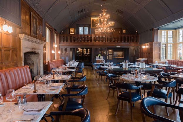
The Lygon Arms
Hotel · Broadway
A historic coaching inn on Broadway's High Street, first recorded in 1377, now a hotel with James Martin's Grill and Tavern, a spa with a pool, and dogs welcome.
Dog-friendly · Wedding venues · EV charging
Verified Nov 2026
-
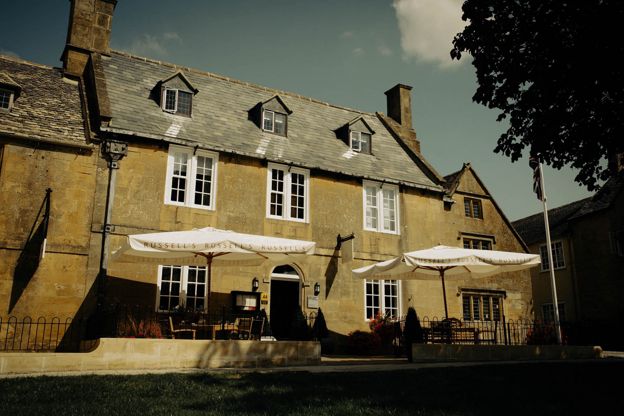
Russell's of Broadway
Inn · Broadway
A steak and seafood grill with eight rooms on Broadway's High Street, including a luxury suite and ground-floor rooms, with a full English breakfast included.
Verified Nov 2026
-
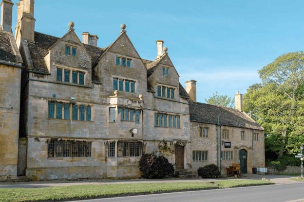
Broadway Museum and Art Gallery
Museums and galleries · Broadway
A museum and gallery in Broadway's Tudor House on the High Street, with John Singer Sargent's portrait of Elizabeth Eberstadt among its paintings, free for under-16s.
Rainy days
Verified Nov 2026
-

Gordon Russell Design Museum
Museums and galleries · Broadway
A museum of the furniture designer Gordon Russell in one of his former workshops on Russell Square, Broadway, open Tuesday to Sunday, with a ticket that lasts a year.
Rainy days
Verified Nov 2026
-
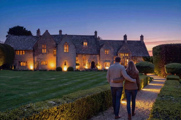
Abbots Grange
B&B · Broadway
A fourteenth-century house on Church Street, Broadway, said to have been the summer manor of the abbots of Pershore, with ten rooms and suites for adults and a full breakfast.
EV charging
Verified Oct 2026
Stay near the start
Inns, cottages and hotels within a short drive of where the walk begins, so you can set off early.
Where to stay in Broadway-
House of George
Restaurants · Broadway
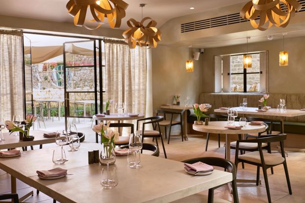
A restored seventeenth-century house on Broadway's High Street with ten bedrooms, a relaxed lunch from Wednesday to Sunday and Moda, its fine-dining restaurant, from Wednesday to Saturday evenings.
Verified Oct 2026
-
The Broadway Hotel
Hotel · Broadway
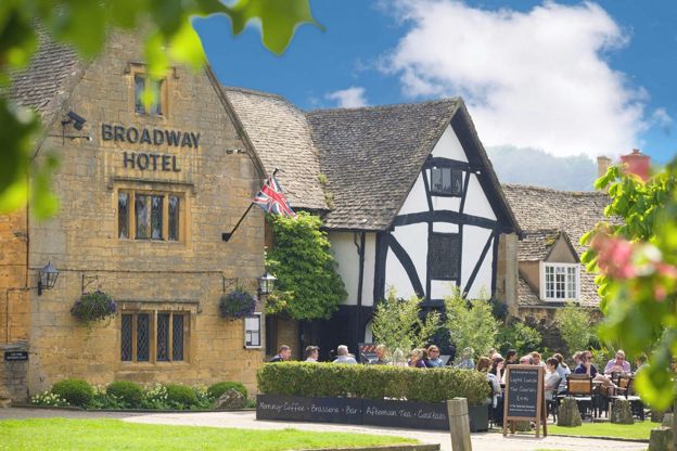
A sixteenth-century inn on Broadway's green with 19 rooms and seven cottages, a brasserie with two AA Rosettes, and dogs staying free in some rooms when you book direct.
Dog-friendly
Verified Nov 2026
-
Foxhill Manor
Hotel · Broadway
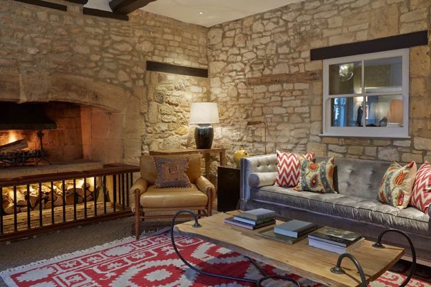
An eight-bedroom house on the Farncombe estate above Broadway, run as a small hotel where meals and drinks are included, with the spa at Dormy House and dogs welcome.
Dog-friendly · Hot tubs · Wedding venues
Verified Oct 2026
More like this
Stories on this walk
-
Bridget Jones at Snowshill: the village of her parents
Story · Guides · 4 minute read
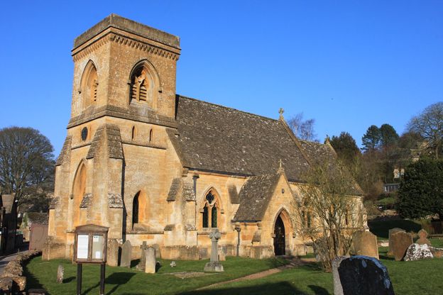
Snowshill, above Broadway, was the village of Bridget's parents in Bridget Jones's Diary: St Barnabas church and the cottages round it, what you can see, Snowshill Manor and the lavender, and how to get there.
-
Christmas in the Cotswolds
Story · Guides · 10 minute read
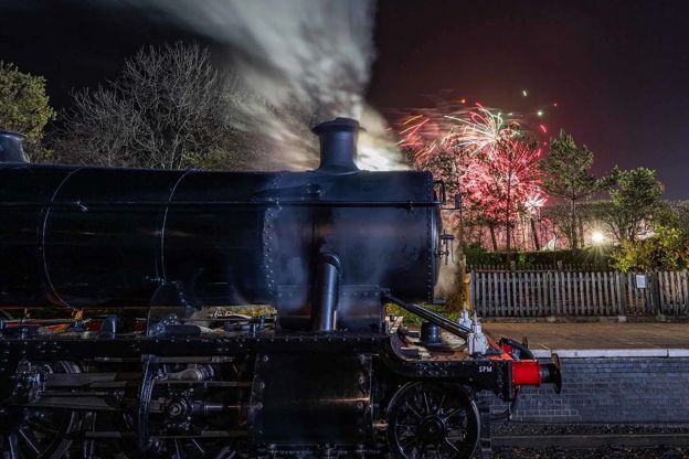
Christmas in the Cotswolds: Blenheim's and Sudeley's light trails, Christmas markets at Cogges and Stroud, steam trains to Broadway's late-night shopping, candlelit carols, Boxing Day mummers, winter walks and inns with fires.
-

Lavender and sunflower fields in the Cotswolds
Story · Guides · 9 minute read
Cotswold Lavender at Snowshill, the lavender farm that opens its fields to visitors, and where to find sunflowers and pick-your-own flowers in July and August: the season, tickets, harvest, best light, dogs, parking and how to photograph a working field without spoiling it.
More walks to try
-
The Cotswold Way
Walk · Dog-friendly
The Cotswold Way is a 102-mile (164km) National Trail walk from Chipping Campden to Bath along the escarpment, in 15 sections; the official guidebook suggests seven to ten days, and its frequent steep climbs make it hard going.
-
Broadway, Pye Corner and the Cotswold Way
Walk · Starts in Broadway · 1 hr, 45 mins · Circular · Dog-friendly
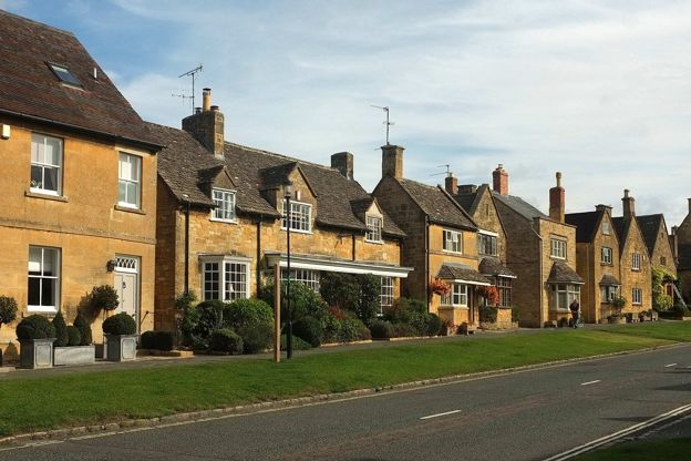
A 3.7-mile (6km) circular walk from Church Close car park in Broadway, about an hour and three quarters, moderate with one steep climb and descent. It crosses the fields south to Pye Corner, climbs to the Cotswold Way and comes down its fields to St Michael's.
-
Stanton, Snowshill and the edge
Walk · Starts in Stanton · 4 hrs, 30 mins · Circular
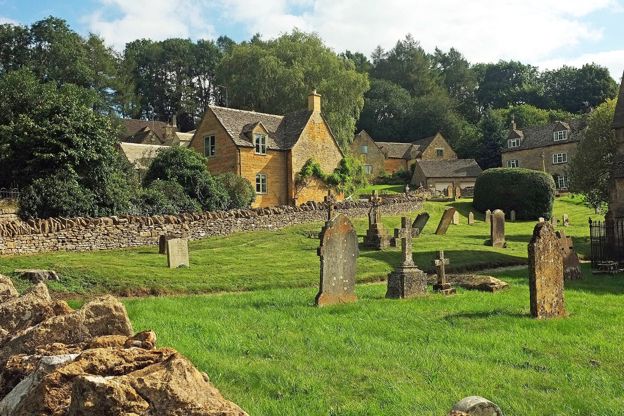
A 6.6-mile (10.6km) moderate loop from Stanton of three and a half to four and a half hours, with steep sections and stiles: up the Cotswold Way, through Littleworth Wood to Snowshill and its manor, then back along the top to the Mount Inn, or 2.5 miles by a short cut.