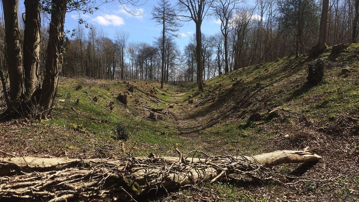
don cload, CC BY-SA 2.0, via Wikimedia Commons
Brackenbury Ditches hill fort
Brackenbury Ditches is an Iron Age hill fort in Westridge Wood on a spur of the Cotswold Edge above North Nibley, with a great inner rampart 3m high and a ditch 14m wide, unexcavated when surveyed in 1976 and now among the trees. Beside public footpaths through the wood.
Hill fort or barrow
Wotton-under-EdgeBrackenbury Ditches is an Iron Age hill fort on a spur of the Cotswold escarpment in Westridge Wood, between Wotton Hill and the Tyndale Monument and about 2km north of Wotton-under-Edge. Its ramparts are hidden in the trees, and an information board beside the track marks them.
History
Brackenbury Ditches is counted among the Iron Age hill forts of the Cotswold Edge. It had not been excavated when the Royal Commission surveyed it in 1976, so nothing more exact is known of its date or how long it was used. Historic England schedules it as an ancient monument under the name Brackenbury camp.
The Royal Commission's survey of the Gloucestershire Cotswolds, published in 1976, is the fullest description. It records a fort enclosing about 1.6 hectares at the tip of the spur, with two lines of defence across the side facing the plateau. An entrance on the south-east side was approached from the vale by a sunken way. The survey also notes older names for the fort: Blackenbury, and Becketsbury in the seventeenth and eighteenth centuries.
Historic England's scheduling calls it a slight univallate hillfort with outworks: a roughly triangular enclosure defined on two sides by a simple rampart bank, with an outer ditch about 6m wide and 1.2m deep. It suggests the outer line may be a slightly later phase of the fort, and notes that natural hollows inside were once mistaken for hut circles.
What to look for
Brackenbury Ditches is best seen in winter, when the leaves are down and the banks show through the trees. Look for:
- the inner rampart on the north-east side, the big one: about 15m wide and 3m high;
- the ditch beyond it, about 14m wide and 2.4m deep;
- the outer rampart further out across the spur, about 1.5m high with a ditch outside it;
- the sunken way climbing to the south-east entrance from the vale;
- the steep natural slopes round the tip of the spur, which needed no rampart;
- the history board beside the track, by the earthworks.
The paths through Westridge Wood pass beech trees, with a conifer plantation to one side, the Cotswolds National Landscape's route notes say.
Visiting
Brackenbury Ditches is free to see at any time from the track through Westridge Wood. The banks and ditches are steep and often slippery, so take care if you leave the track, and keep dogs under control. Walkers on AllTrails warn of loose stones and mud on the track after rain.
Getting there
By car, walkers report a small parking area beside Old London Road above Wotton-under-Edge, mapped as free roadside parking, where our shorter walk starts. Otherwise use Wotton's council car parks at The Chipping and Potters Pond, for which Stroud District Council lists no charge, and walk up past Jubilee Clump.
On foot, Wotton Hill and the Tyndale Monument and Wotton, the Tyndale Monument and Coombe Hill both pass the board and the earthworks on the broad track north through the wood, and the Cotswold Way passes the fort on its way through Westridge Wood.
Nearby
The Tyndale Monument is about 1km north on Nibley Knoll, and Jubilee Clump is just over 1km south on Wotton Hill. In Wotton-under-Edge, St Mary's Church has the Berkeley brasses, and the Royal Oak on Haw Street serves food.
Walks past Brackenbury Ditches hill fort
-
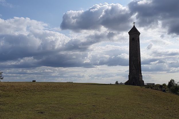
Cotswold Way: Dursley to Wotton-under-Edge
Walk · Starts in Dursley · 4 hrs, 30 mins · Dog-friendly
A 7.5-mile (12km) one-way walk on the eleventh section of the Cotswold Way, moderate and about four and a half hours: from Dursley round the rim of Stinchcombe Hill, down to North Nibley, up to the Tyndale Monument and along the ridge to Wotton-under-Edge.
-
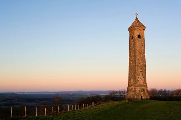
Wotton Hill and the Tyndale Monument
Walk · Starts in Wotton-under-Edge · 1 hr, 15 mins · Circular · Dog-friendly
A 3.5-mile (5.8km) easy ridge walk of an hour to an hour and a half from Old London Road above Wotton-under-Edge: out to the walled Jubilee Clump on Wotton Hill, through Westridge Wood past Brackenbury Ditches to the Tyndale Monument on Nibley Knoll, and back through the woods.
-
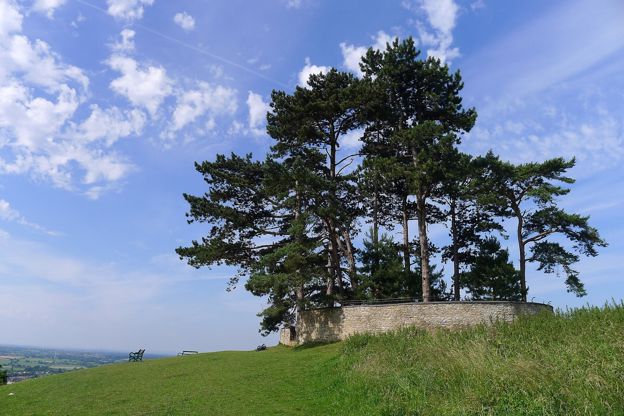
Wotton, the Tyndale Monument and Coombe Hill
Walk · Starts in Wotton-under-Edge · 4 hrs, 15 mins · Circular
An 8.5-mile (13.5km) moderate loop of four to four and a half hours from Wotton-under-Edge, with three big climbs: to the Tyndale Monument, down to North Nibley, north towards Stinchcombe Hill, round by Hermitage Wood and Waterley Bottom, and back over Coombe Hill.
Stay and eat near Brackenbury Ditches hill fort
-

The Royal Oak, Wotton-under-Edge
Pubs · Wotton-under-Edge
A neighbourhood pub and kitchen on Haw Street, Wotton-under-Edge, serving pub classics from South West producers, open Tuesday to Sunday from midday.
Family-friendly
Verified Oct 2026
-
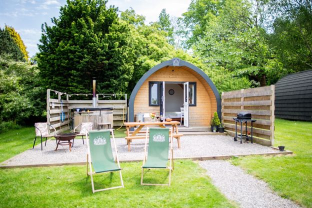
Hunts Court Huts
Glamping · North Nibley
Two glamping pods and a shepherd's hut for two, each with its own wood-fired hot tub, on a working farm at Forthay, North Nibley, by the Cotswold Way.
Hot tubs · Walker-friendly
Verified Oct 2026
-
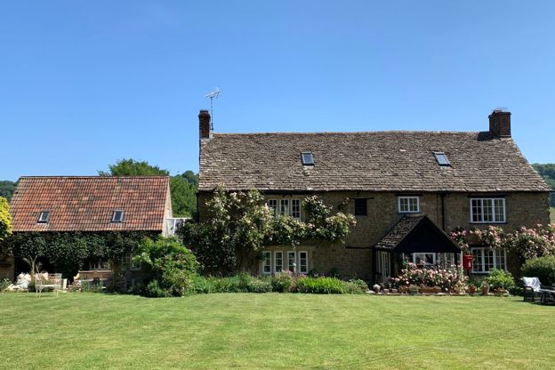
Forthay Bed and Breakfast
B&B · North Nibley
A late seventeenth-century farmhouse B&B with four rooms for two in the hamlet of Forthay, below the Tyndale Monument at North Nibley, on the Cotswold Way.
Dog-friendly · Walker-friendly
Verified Nov 2026
More sights to see
-
Tyndale Monument, North Nibley
Sight · Monument · Wotton-under-Edge
The Tyndale Monument is the tower on Nibley Knoll above North Nibley, built in 1866 by S. S. Teulon in memory of William Tyndale, translator of the first printed English New Testament. Grade II*; usually open to climb, free, with a key nearby if locked.
-
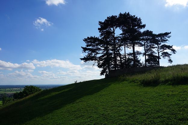
Jubilee Clump, Wotton Hill
Sight · Viewpoint · Wotton-under-Edge
Jubilee Clump is the walled ring of trees on Wotton Hill above Wotton-under-Edge, replanted in 1888 for Queen Victoria's Golden Jubilee on a spot said to have been first planted after Waterloo: a landmark and viewpoint on the Cotswold Way. Free.
-
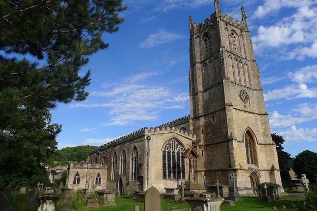
St Mary's Church, Wotton-under-Edge
Sight · Church · Wotton-under-Edge
St Mary's is Wotton-under-Edge's Grade I parish church, with late thirteenth-century arcades, a six-stage fourteenth-century tower, the brasses of Thomas, Lord Berkeley and his wife, and an organ bought in 1800. Open daily.