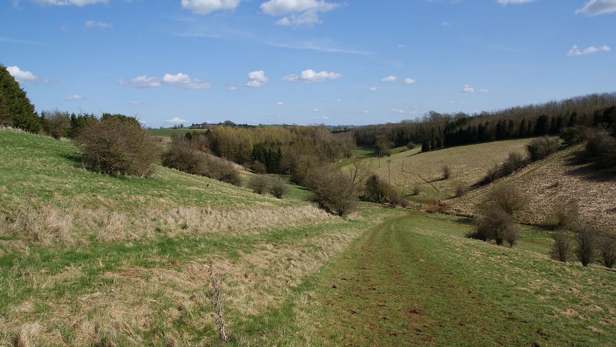
Bill Boaden, CC BY-SA 2.0, via Wikimedia Commons
Harford Bridge and Naunton
A 3-mile (4.8km) circular walk from Harford Bridge near Naunton, easy, stile-free and about an hour and a quarter: past the earthworks of the lost village of Lower Harford, along the Windrush Way, then into Naunton by its church, its rector's bridge and the Black Horse.
- Distance
- 4.8 km (3.0 mi)
- Difficulty
- Easy
- Time
- 1 hr, 15 mins
- Ascent
- 65 m
- Circular
- Circular
The route
Starts at The roadside verge by Harford Bridge, south-east of Naunton follows the Windrush Way for a while Download GPX
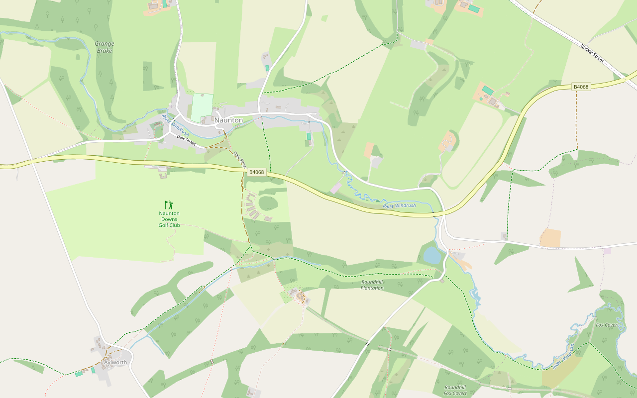
Step by step
-
Step 1: Harford Bridge to Lower Harford
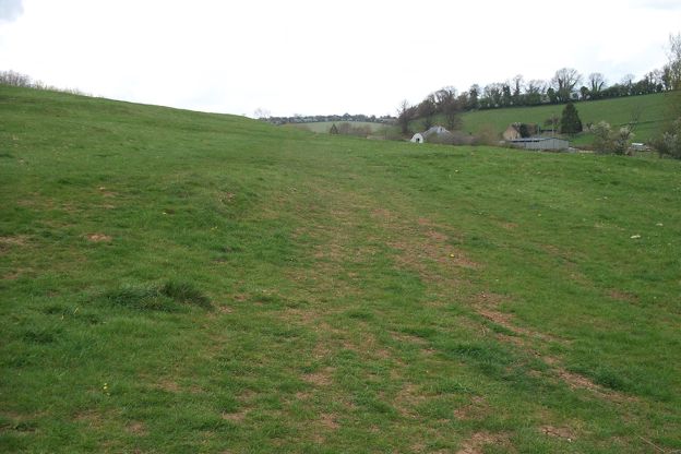
From the verge on the north side of the B4068, cross the road and follow the lane to Lower Harford Farm. Near the farm entrance, cross the footbridge over the River Windrush. The humps and hollows in the field south of the river are the site of the deserted village. Leaving the farm, follow the lane a short way uphill to a signpost on the right for the Windrush Way.
-
Step 2: Along the Windrush Way
Turn right through the gate and then left, following the Windrush Way along the valley floor for about half a mile (1km), through a field gate, until you reach another gate. Go through it, turn right over a stone bridge across the stream, and follow the path uphill to a field gate at the edge of the golf course. Racehorses are ridden here, so keep an eye out for them.
-
Step 3: Over the hill into Naunton
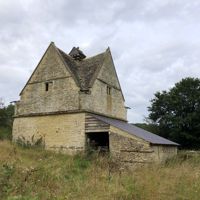
Follow the bridleway past the stables on your right and recross the B4068 to a farm gate, where the dovecote, the village and the church come into view below. Follow the track downhill, bear left at a fork to a field gate signed Wardens Way to Dale End Lane, walk along the lane, and turn right to the green and its beech trees.
-
Step 4: The church and the river
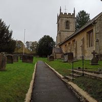
Behind the green, Windrush View leads to St Andrew's church. Beyond the green, cross Vicar's Bridge over the Windrush, with the old cider mill on its right. Bear right at the junction, then go uphill and follow the road.
-
Step 5: Through the village and back
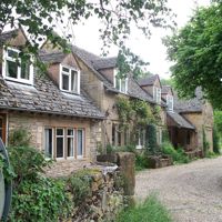
Opposite the village hall, a lane marked No Through Road makes a short detour past the manor house to the river and the dovecote. Back on the main street, walk on past the Black Horse Inn; about 40m beyond it is Cromwell House. Follow the lane back to the start at Harford Bridge.
Sights on the way
The sights this walk passes, numbered as on the map.
-
Clapper bridge, Lower Harford
Sight · Bridge · Naunton
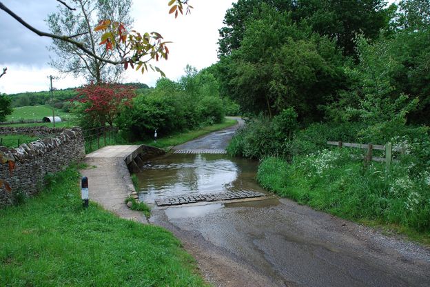
The clapper bridge at Lower Harford Farm near Naunton is a low bridge of limestone blocks laid flat on stone piers across the Windrush, of the eighteenth century or earlier: a rare survival here of a kind of bridge more often found in upland country. Grade II.
-
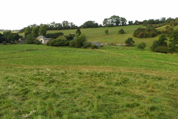
Lower Harford deserted village
Sight · Monument · Naunton
Lower Harford is a lost medieval village by the River Windrush near Naunton: house platforms beside a hollow way, terraces and water channels in a field. Seven people were recorded here in 1086 and two in 1327, and by 1341 it was largely deserted. A scheduled monument.
-
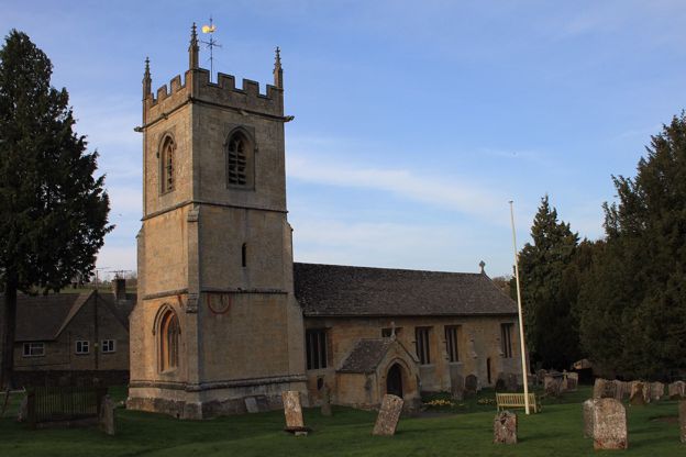
St Andrew's Church, Naunton
Sight · Church · Naunton
St Andrew's is Naunton's parish church in the Windrush valley: largely rebuilt around 1500 on an older site, with a pinnacled tower carrying two painted sundials, a stone pulpit of about 1500, a Saxon cross and a ring of six bells. Grade II*; open daily.
-
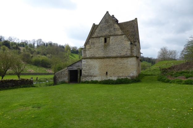
Naunton dovecote
Sight · Historic building · Naunton
Naunton's dovecote is a square stone pigeon house of the sixteenth century or earlier, with a gable on each face, a lantern on top and its nesting boxes still inside. Listed Grade II*, it is looked after by a charity, the Naunton Dovecote Trust.
The walk in detail
The Harford Bridge and Naunton walk is a 3-mile (4.8km) circular walk from Harford Bridge, a mile south-east of Naunton, on the Cotswolds National Landscape's Miles Without Stiles list. It has no stiles and about 65m of ups and downs, and takes about an hour and a quarter, past a lost village, Naunton's church and the Black Horse pub.
On the way it follows a stretch of the Windrush Way, passes a church with a sundial dated 1748 and crosses a bridge built by a rector. The leaflet was last checked by its authors in August 2025.
Lower Harford, the village that went
The walk begins with what is missing. In the field south of the river, the humps and hollows in the grass are the site of the deserted medieval village of Lower Harford. The farmhouse at Lower Harford Farm is listed, a square house of about 1700 with a freestone front, remodelled in the middle of the nineteenth century.
About 20m south-west of the farmhouse, a separate listing records a clapper bridge of squared limestone blocks laid over stone piers, eighteenth century or older, which it calls a rare survival for this region of a type more often found in upland country.
The Windrush Way and the golf course
For half a mile the walk follows the Windrush Way along the floor of the valley. The Way runs between Winchcombe and Bourton-on-the-Water, and with the Wardens' Way, which passes through Naunton too, it makes a loop. Here it keeps to the valley floor beside the stream, through field gates.
The climb from the stone bridge brings you to the edge of the old golf course, which is now part of Ben Pauling Racing. Racehorses are ridden here, so keep dogs close and give the horses room.
St Andrew's and its sundials
At the farm gate across the B4068, the leaflet suggests a pause for the view over the dovecote, the village and the church. St Andrew's has thirteenth-century origins and was largely rebuilt around 1500, with a fifteenth-century tower finished with pinnacles and gargoyles. Look for the two painted sundials at the south-west corner of the tower, one dated 1748 and the other inscribed Lux Umbra Dei.
Inside, the pulpit that the leaflet calls a wineglass pulpit is octagonal, of the fifteenth or early sixteenth century, its tracery matching the east window of the north aisle. A cross on the west wall of the nave is thought to be Anglo-Saxon, and there are three brasses, which the listing dates to the sixteenth century and the Victoria County History to the seventeenth, to the family of the rector Clement Barksdale. The church is listed Grade II*.
The rector's bridge, the dovecote and Cromwell House
The bridge the leaflet calls Vicar's Bridge is, on its listing, the work of John Hurd, the rector, around 1819: two low arches of squared rubble with a low parapet, over the Windrush beside the old cider mill.
The detour opposite the village hall is worth the few minutes. The dovecote south-west of the manor house is square, with a gable on each face and a small lantern on top, and its walls are lined inside with nesting boxes. Its listing dates it to the sixteenth century, perhaps earlier, and grades it II*; the Naunton Dovecote Trust, a charity set up in 1998, looks after it.
Back on the main street, Cromwell House stands about 40m past the pub. It is said to date from the sixteenth century, was probably extended in the seventeenth, and has two front gables with mullioned windows and a Tudor arched doorway; its listing records it as the former home of the Aylesworths, and it too is Grade II*.

The Cotswolds Info newsletter
Events, new places and the best of the season, about once a month. Unsubscribe at any time.
Food, parking and paths
The Black Horse in Naunton is the only pub on the walk, near the end, so it makes a natural stop. It is a Donnington Brewery pub serving food, with a garden, and dogs are welcome; our story on Cotswold pubs and their breweries has more on Donnington and its pubs.
Park on the roadside verge on the north side of the B4068, the Andoversford to Stow road, near Harford Bridge. The paths are unsurfaced, with field gates and a footbridge but no stiles, and the walk crosses the B4068 twice and finishes along a lane.
With no stiles the walk is easy going for dogs, but racehorses are ridden on the old golf course, so keep dogs close there. Our guide to the Cotswolds with a dog covers walking near horses and livestock.
Longer walks from Naunton
For a longer day, the National Landscape's circular walk from Guiting Power to Naunton is 6.3 miles with about 200m of climbing and some stiles, and the walk from Bourton by the Slaughters to Naunton is longer still. Naunton is one of the villages near famous ones that see far fewer visitors, as our guide to the Cotswolds without the crowds explains, and the longer loop starts in Guiting Power.
Stay near the start
Inns, cottages and hotels within a short drive of where the walk begins, so you can set off early.
Where to stay in Naunton-
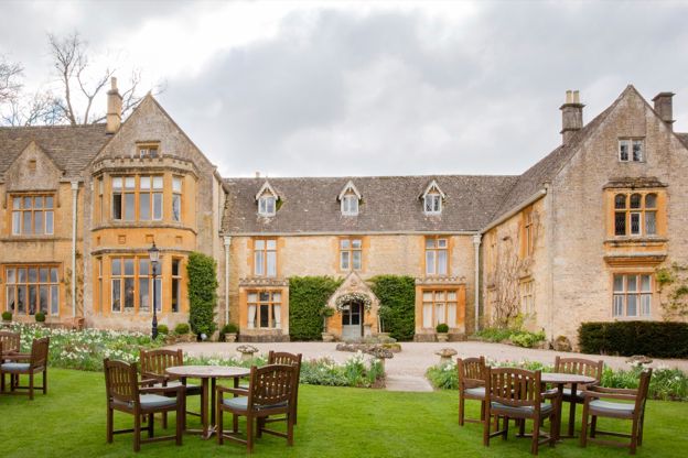
Lords of the Manor
Hotel · Upper Slaughter
A country house hotel with 25 bedrooms in eight acres of grounds in Upper Slaughter, in a house it dates to 1649, with dogs welcome.
Dog-friendly · EV charging · Wedding venues
Verified Oct 2026
-
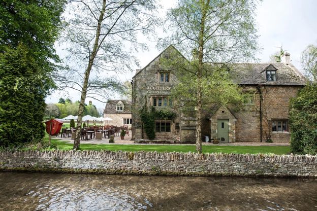
The Slaughters Country Inn
Inn · Lower Slaughter
An inn in Lower Slaughter, bought and renamed by the Brownsword family in 2011, with dog rooms and a Field Kitchen from April to September.
Dog-friendly · Family-friendly · Walker-friendly
Verified Oct 2026
-
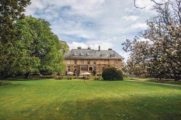
The Slaughters Manor House
Hotel · Lower Slaughter
A 17th-century manor house hotel with 19 bedrooms on Copsehill Road, Lower Slaughter, home of the Whitmore family until 1964, with dog rooms booked by phone.
Dog-friendly · Family-friendly · Wedding venues
Verified Oct 2026
More like this
Stories on this walk
-
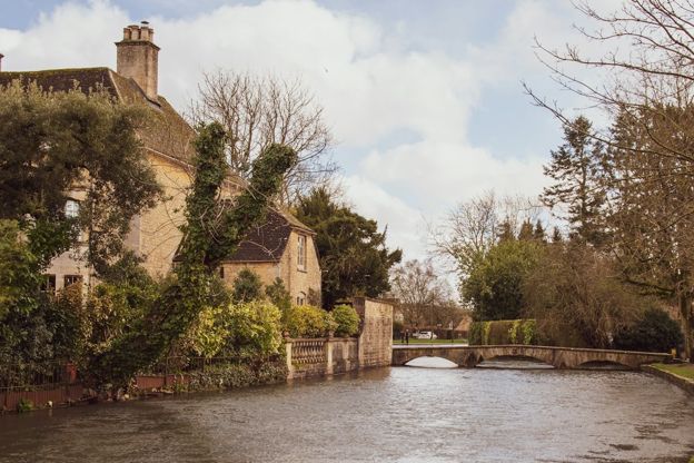
The accessible Cotswolds
Story · Guides · 12 minute read
The honest picture of access in the Cotswolds: which villages are level and which are cobbles and hills, the step-free days out, every Changing Places toilet we can confirm, Blue Badge parking, stile-free walks, accessible stays and getting about by train, bus and taxi.
More walks to try
-
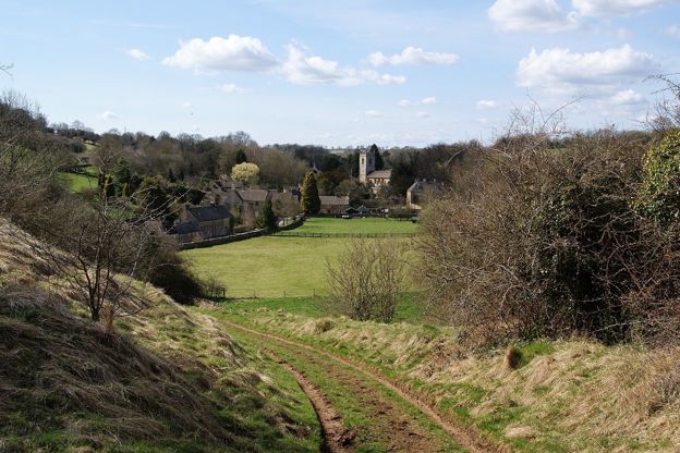
Guiting Power and Naunton
Walk · Starts in Guiting Power · 3 hrs, 30 mins · Circular
A 6.3-mile (10.1km) circular walk from Guiting Power's green, moderate and three to three and a half hours with two stiles: south on the Windrush Way round Gazeley Wood past Aylworth, up by the golf course above Naunton, and home on the Wardens' Way.
-
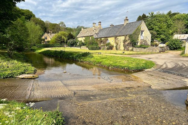
Bourton-on-the-Water, the Slaughters and Naunton
Walk · Starts in Bourton-on-the-Water · 5 hrs · Circular
A 10-mile (16.4km) circular walk from Bourton-on-the-Water, four to five hours of moderate walking with stiles and steep slopes. It follows the Wardens' Way through Lower and Upper Slaughter to Naunton, then comes home down the Windrush valley on the Windrush Way.
-
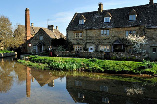
Lower Slaughter to Upper Slaughter
Walk · Starts in Lower Slaughter · 45 mins · Circular · Dog-friendly
A 2-mile (3.1km) there-and-back from Lower Slaughter, easy and almost level, in 45 minutes to an hour: on the Wardens' Way from Lower Slaughter's mill up the River Eye through riverside fields to Upper Slaughter's ford, church and manor, and back the same way.