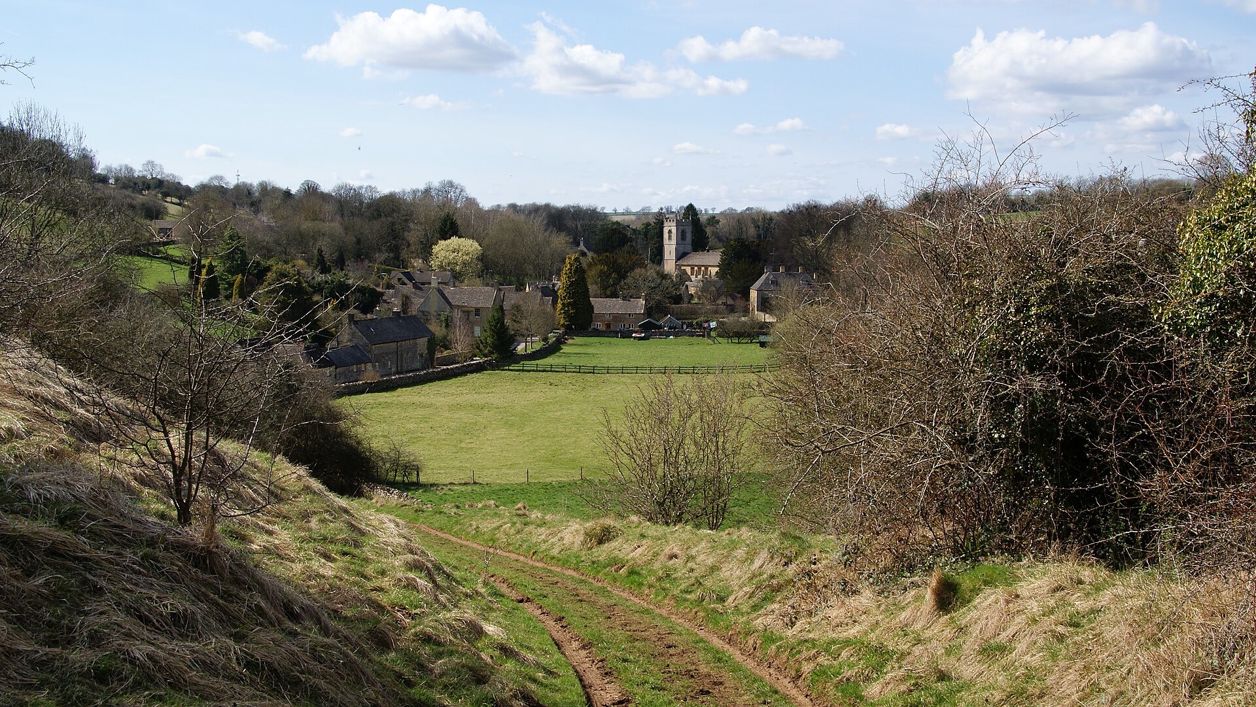
Bill Boaden, CC BY-SA 2.0, via Wikimedia Commons
Guiting Power and Naunton
A 6.3-mile (10.1km) circular walk from Guiting Power's green, moderate and three to three and a half hours with two stiles: south on the Windrush Way round Gazeley Wood past Aylworth, up by the golf course above Naunton, and home on the Wardens' Way.
- Distance
- 10.1 km (6.3 mi)
- Difficulty
- Moderate
- Time
- 3 hrs, 30 mins
- Ascent
- 200 m
- Circular
- Circular
The route
Starts at The village green, Guiting Power follows the Windrush Way and Wardens' Way for a while StilesSteep section Download GPX
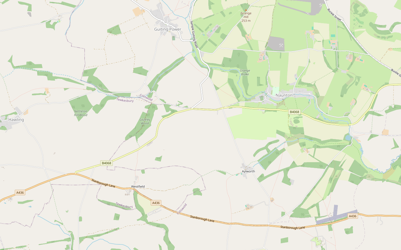
Step by step
-
Step 1: Guiting Power to the Windrush Way
From the war memorial on the green, facing the road, walk 20m to your right and turn right up the road to Hawling, following it round to the right in front of the school. Continue for a mile, then turn left down a road for 150m to a field gate on your right. Go through and continue ahead with the lake on your right for 200m to another field gate, where you join the Windrush Way.
-
Step 2: Over the B4068
Continue ahead along the track for half a mile, round the top of the wood and up a field edge on your right, to a gate by the B4068. Turn right along the road and after 50m cross to a stile. Go straight across the field to a stile in the top right-hand corner, cross it and follow the right-hand field edge for 300m. Bear slightly right through a gap in the wall and follow the left-hand field edge to a field gate.
- Stiles
-
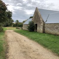
Step 3: East to Aylworth
Turn sharp left in front of the field gate through a gate, follow the fence round through another gate and keep to the right-hand field edge until you join a track. Turn left and follow the track for three quarters of a mile past the clay pigeon shoot, then straight ahead along the right-hand edges of two fields to a field gate. Go through and along the valley bottom to another field gate on your left. Go through and follow the track as it bears left and uphill, then after 20m bear right through a field gate onto a road.
-
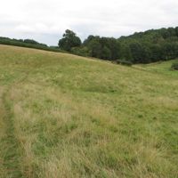
Step 4: Along the stream towards Naunton
Cross the road and go ahead through a field gate to another in the bottom right-hand corner of the field, where the path joins a track. Carry on with the wood on your right, through another field gate. At the end of the wood, continue with the stream on your right to a field gate.
-
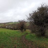
Step 5: Past the golf course to the Wardens' Way
Go through and, leaving the Windrush Way, follow the path diagonally across the slope and bear left up the hill to a field gate. Follow the track by the golf course to another field gate by the B4068. Cross the road, go through another field gate and continue downhill along the right-hand field edge to a field gate on the Wardens' Way. Do not go through it.
-
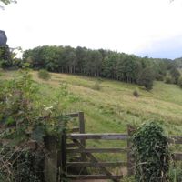
Step 6: Home on the Wardens' Way
Turn left along the Wardens' Way on the track along the valley bottom, through another field gate to where the track becomes a surfaced road. At the T-junction turn left up the hill for 400m to a gate on the right in the hedge. Go through and straight ahead across the field, following the contour, to a field gate, and on in the same direction to the corner of a copse. With the copse on your left, follow the path through a field gate to the road.
-
Step 7: Into Guiting Power
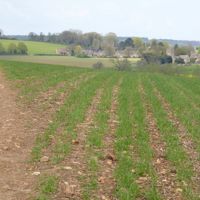
Turn right downhill along the road and go straight across the T-junction to a gate. Cross a field to another gate, go down the steps and over the bridge, and up to another gate. Go straight across the next field to a gate, follow the wall to a gate and then another gate by St Michael and All Angels church. Keep straight ahead past the village hall and the village shop into Guiting Power.
Sights on the way
The sights this walk passes, numbered as on the map.
-
Naunton dovecote
Sight · Historic building · Naunton
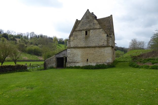
Naunton's dovecote is a square stone pigeon house of the sixteenth century or earlier, with a gable on each face, a lantern on top and its nesting boxes still inside. Listed Grade II*, it is looked after by a charity, the Naunton Dovecote Trust.
-
St Andrew's Church, Naunton
Sight · Church · Naunton
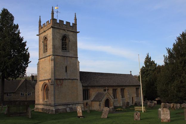
St Andrew's is Naunton's parish church in the Windrush valley: largely rebuilt around 1500 on an older site, with a pinnacled tower carrying two painted sundials, a stone pulpit of about 1500, a Saxon cross and a ring of six bells. Grade II*; open daily.
-
St Michael's Church, Guiting Power
Sight · Church · Guiting Power
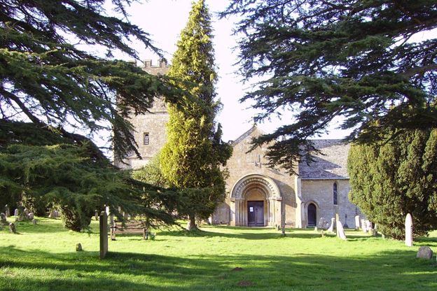
Guiting Power’s Norman church of about 1180, open daily, with two carved twelfth-century doorways (one capital a head with its tongue out), a fifteenth-century tower, transepts of 1820 and 1844 and Green Men in its roof. Grade II*; accessible toilet in the churchyard.
The walk in detail
The Guiting Power and Naunton walk is a 6.3-mile (10.1km) circular walk from the green in Guiting Power, out on the Windrush Way and home on the Wardens' Way by the edge of Naunton. It is moderate, with 200m of ups and downs and two stiles, takes three to three and a half hours, and ends by two village pubs.
It is Walk 3 in the Cotswolds National Landscape's series of circular walks on the two Ways, which the leaflet subtitles from dovecotes to racehorses. It has steps near the end and two crossings of the B4068, and the leaflet was last checked by its authors in November 2020.
Each of the two trails runs about 13 miles between Winchcombe and Bourton-on-the-Water, and together they make a loop. This walk takes the Windrush Way south and east from Guiting Power and comes home on the Wardens' Way, with a short link between them above Naunton.
Guiting Power
Guiting Power is in Domesday, and the village's amenity trust says there has been a settlement here since at least 780, with a Saxo-Norman chapel found by excavation near the church. The walk starts from the war memorial on the green and leaves along the road to Hawling, in front of the school.
Before the Conquest the manor was held under Edward the Confessor by Alwin, the sheriff of Gloucestershire. The village has two pubs, a village hall, a farm shop and café and the Old Post Office café, and the Guiting Manor Amenity Trust, set up to conserve the village's character, has restored the old lime kiln at Sheep Hill Quarry.
Gazeley Wood and the Windrush Way
After a mile on the Hawling road, a lane and a field path past a lake bring you onto the Windrush Way. It runs south round the top of Gazeley Wood to the B4068, and the walk's two stiles are in the field beyond the road. From there a track runs east for three quarters of a mile past a clay pigeon shoot, then along a valley bottom.
The leaflet's map marks the site of the medieval village of Aylworth where the walk meets the road there. Beyond it the Windrush Way follows a wood and then the stream, heading for Naunton.
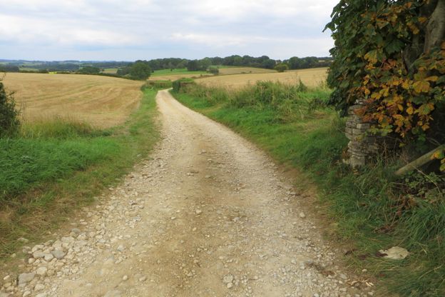
The golf course and the dovecote
Leaving the Windrush Way, the path climbs to the golf course above Naunton. On the National Landscape's Harford Bridge leaflet, the golf course is described as part of Ben Pauling Racing, where racehorses are ridden.
The leaflet's map marks Naunton's dovecote just east of where the walk meets the Wardens' Way. Naunton's dovecote is square, with a gable on each face and a small lantern on top, and is listed Grade II*; the Naunton Dovecote Trust looks after it. The route turns west along the south side of the village, past St Andrew's church, so the dovecote is a short detour, and so is the Black Horse, a Donnington Brewery pub.
Home on the Wardens' Way
The Wardens' Way runs west along the valley bottom, climbs to follow the contour past a copse, and crosses a road before dropping down steps and over a bridge towards Guiting Power. The last gates bring you to St Michael and All Angels, listed Grade II*, with twelfth-century north and south doorways, a Perpendicular west tower and transepts added in 1820 and 1844; its late twelfth-century chancel was mostly rebuilt in 1903. A medieval cross base in the churchyard is listed too.

The Cotswolds Info newsletter
Events, new places and the best of the season, about once a month. Unsubscribe at any time.
Food and drink in Guiting Power
The leaflet names two pubs and the Old Post Office Café in Guiting Power. The Old Post Office still trades on The Square, opening in winter from 9am to 3.30pm on weekdays and 9am to 4pm at weekends. The Farmers Arms is a Donnington Brewery pub with a skittle alley, one of the brewery's houses in our guide to Cotswold pubs, and the Hollow Bottom, called Ye Olde Inn until 1996, has six bedrooms, all described as dog friendly. The Cotswold Guy on Church Lane is a separate farm shop and café, open every day from 9am. The leaflet lists no refreshments on the way round.
Parking and getting there
Park near the green in Guiting Power, or follow the signs on Church Road. The leaflet for Walk 2 in the same series starts from the village hall car park, which takes a small charge. We found no current bus to Guiting Power.
Paths, stiles and roads
The two stiles are together, in the field beside the B4068 on the way out. Everything else is field gates and gates, with steps and a bridge near the end.
The B4068 is crossed twice: on the way out you walk 50m along it before crossing to the stile, and above Naunton you go straight across between two field gates.
Other walks nearby
From Naunton, the 3-mile Harford Bridge walk has no stiles and shares the golf course and the Windrush Way's valley floor with this one. Walk 4 in the series, from Bourton-on-the-Water by the Slaughters to Naunton, is 10.2 miles.
Places on the way
-
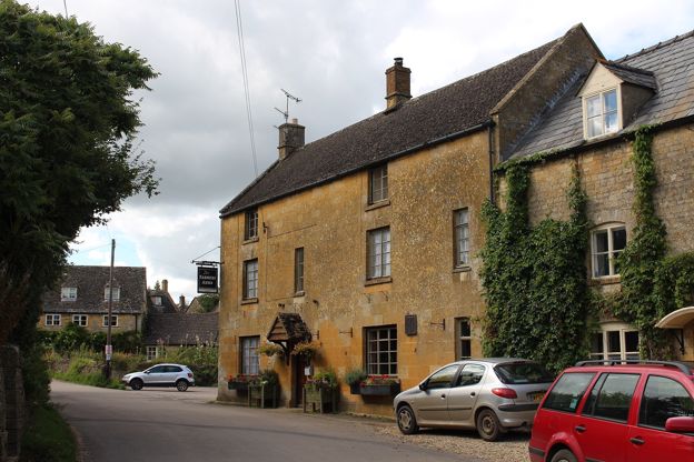
The Farmers Arms
Pubs · Guiting Power
A Donnington Brewery pub in Guiting Power with a log burner, a large beer garden and a skittle alley, serving food from Tuesday to Sunday.
Verified Nov 2026
-
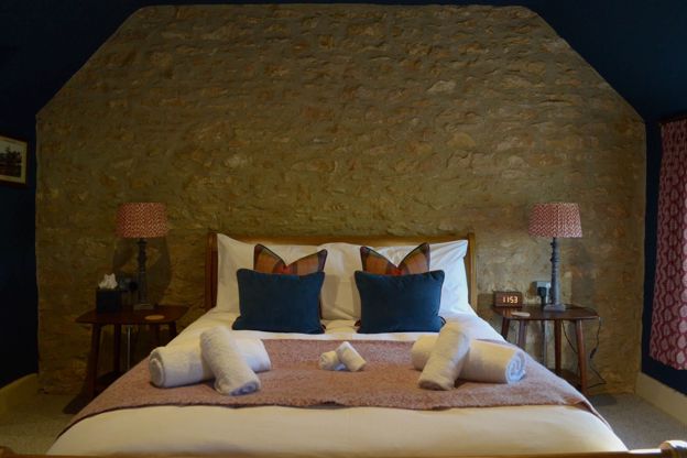
The Hollow Bottom
Inn · Guiting Power
A racing pub with six bedrooms in Guiting Power, once Ye Olde Inn, bought in 1996 by Nigel Twiston-Davies and Raymond Mould, with dogs welcome throughout.
Dog-friendly
Verified Oct 2026
-
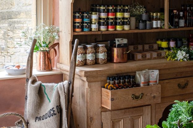
The Cotswold Guy
Farm shops and delis · Guiting Power
A chef-run farm shop and takeaway on Church Lane, Guiting Power, with seats inside and in the garden, which also does catering and events, open every day.
Verified Oct 2026
-
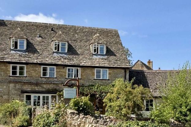
Guiting Guest House
B&B · Guiting Power
An adults-only guest house with six rooms in a seventeenth-century farmhouse in Guiting Power, kept free of pets, with an honesty bar and walking breaks.
Walker-friendly
Verified Nov 2026
Stay near the start
Inns, cottages and hotels within a short drive of where the walk begins, so you can set off early.
Where to stay in Guiting Power-
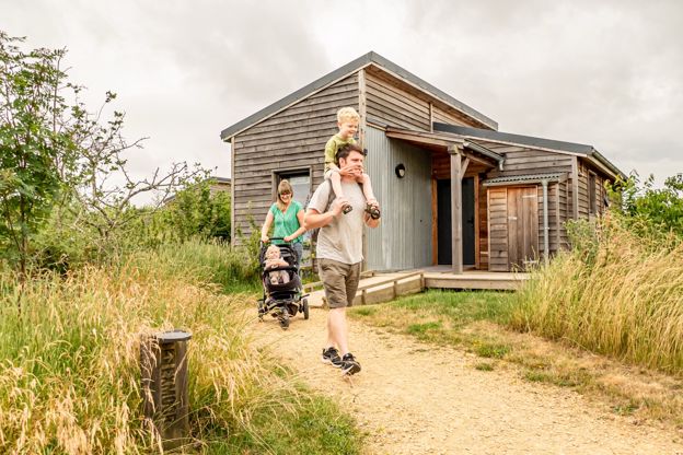
Cotswold Farm Park Holidays
Glamping · Guiting Power
Lodges, cabins, safari tents, glamping pods and camping pitches at Adam Henson's Cotswold Farm Park above Guiting Power, with entry to the farm included.
Dog-friendly · Family-friendly · Hot tubs
Verified Oct 2026
-
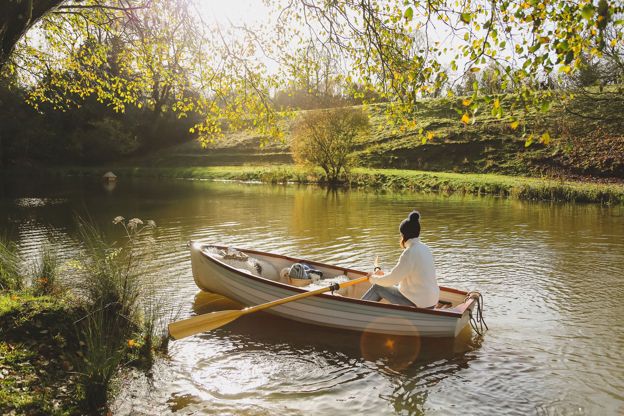
Temple Guiting Manor & Barns
Self-catering · Temple Guiting
A Grade I manor house and four converted farm buildings in 14.5 acres at Temple Guiting, let for exclusive-use holidays, celebrations and weddings for up to 32 guests.
Family-friendly · Hot tubs · Wedding venues
Verified Nov 2026
-
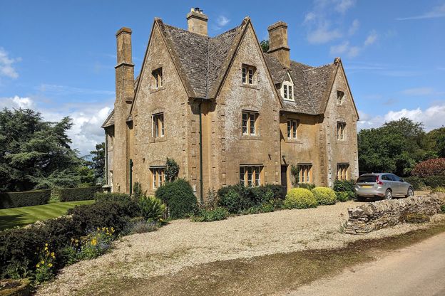
North Farmcote
B&B · Winchcombe
Bed and breakfast in a farmhouse above Winchcombe, built around 1840, its owners say, as a dower house for Lord Sudeley's mother.
Walker-friendly
Verified Oct 2026
More like this
Stories on this walk
-
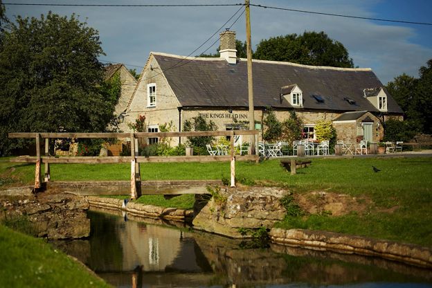
The best pubs in the Cotswolds
Story · Guides · 11 minute read
The best pubs in the Cotswolds: village pubs on the green at Biddestone and Guiting Power, medieval inns at Castle Combe and Lacock, riverside pubs at Lechlade and Swinbrook, pubs with rooms round Kingham, and the pubs at the end of our walks.
-
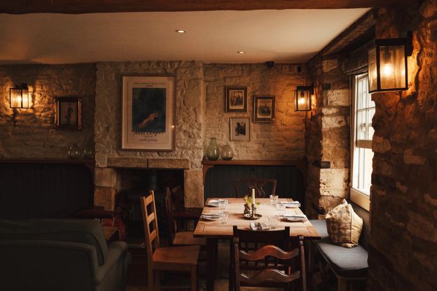
The best pubs with rooms in the Cotswolds
Story · Guides · 13 minute read
The best pubs with rooms in the Cotswolds, region by region: the Kingham Plough and the King’s Head at Bledington, the Lion at Winchcombe, the Falcon at Painswick and the Red Lion at Lacock, with the rooms, the food, the dog rules and the walk from the door.
-
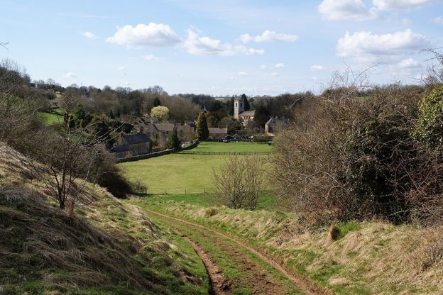
The Cotswolds without the crowds
Story · Guides · 15 minute read
Five Cotswold villages take most of the visitors: Bibury, Bourton-on-the-Water, Castle Combe, Broadway and the Slaughters. Here is when each is busiest, what the councils have done about it, the best and worst hours, and the quieter village on the same river or ridge.
More walks to try
-
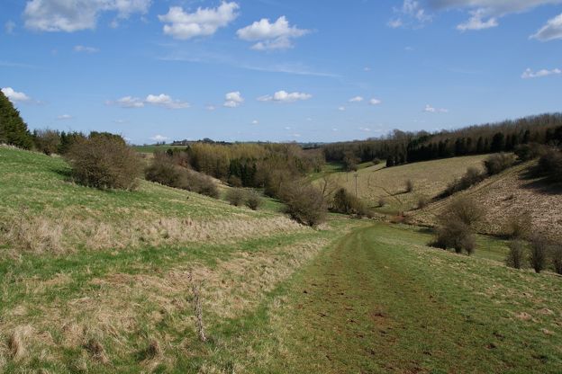
Harford Bridge and Naunton
Walk · Starts in Naunton · 1 hr, 15 mins · Circular
A 3-mile (4.8km) circular walk from Harford Bridge near Naunton, easy, stile-free and about an hour and a quarter: past the earthworks of the lost village of Lower Harford, along the Windrush Way, then into Naunton by its church, its rector's bridge and the Black Horse.
-
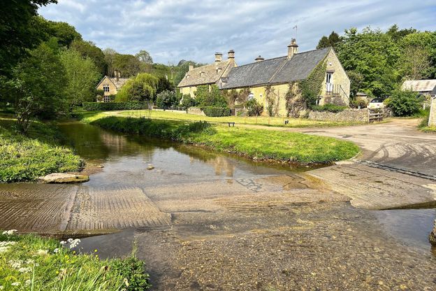
Bourton-on-the-Water, the Slaughters and Naunton
Walk · Starts in Bourton-on-the-Water · 5 hrs · Circular
A 10-mile (16.4km) circular walk from Bourton-on-the-Water, four to five hours of moderate walking with stiles and steep slopes. It follows the Wardens' Way through Lower and Upper Slaughter to Naunton, then comes home down the Windrush valley on the Windrush Way.
-
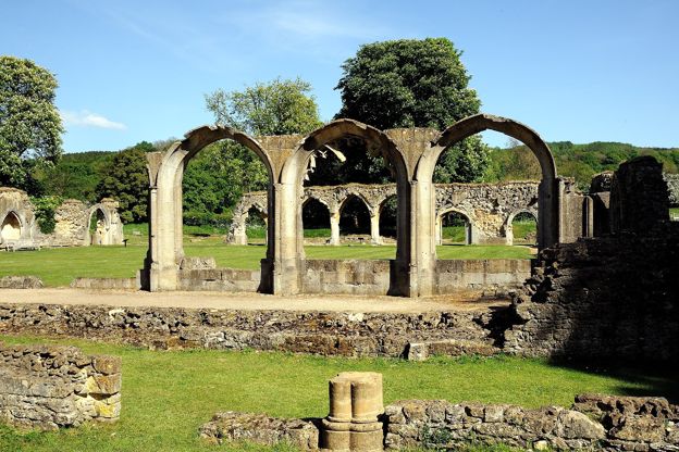
Hailes and Beckbury Camp
Walk · Starts in Winchcombe · 2 hrs, 15 mins · Circular
A 3.5-mile (5.6km) circular walk from Hayles Fruit Farm, moderate and about two and a quarter hours: up the monks' track to Beckbury Camp, down the edge of a wood over three stiles towards Wood Stanway, and back past Hailes church and the abbey ruins.