Roger Davies, CC BY-SA 2.0, via Wikimedia Commons
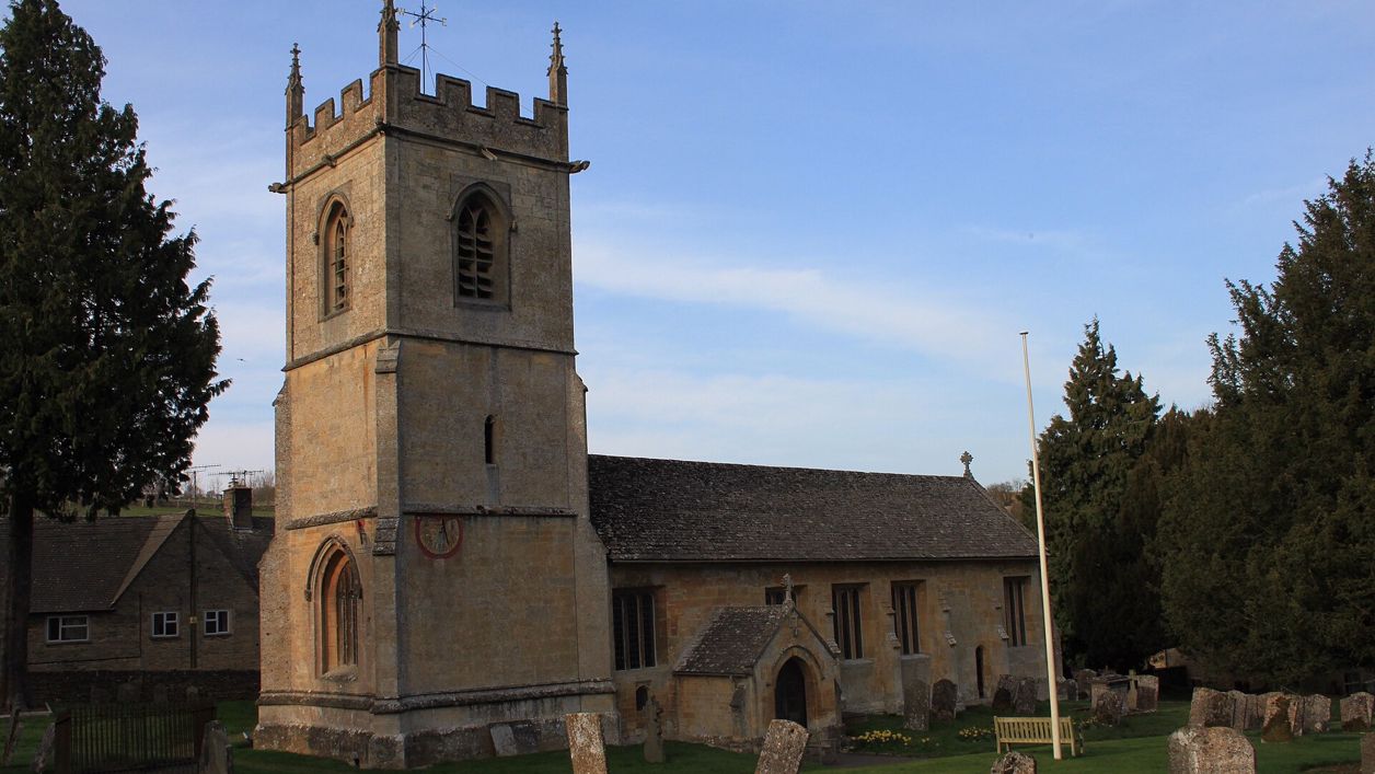
St Andrew's Church, Naunton
St Andrew's is Naunton's parish church in the Windrush valley: largely rebuilt around 1500 on an older site, with a pinnacled tower carrying two painted sundials, a stone pulpit of about 1500, a Saxon cross and a ring of six bells. Grade II*; open daily.
Church
NauntonSt Andrew's is the parish church of Naunton, a village strung along the River Windrush between Guiting Power and Bourton-on-the-Water. A church stood here by the twelfth century; the present building was largely rebuilt around 1500, with a fifteenth-century tower. It is listed Grade II* and open every day.
History
The first church was probably built in the twelfth century: the Victoria County History finds a dispute over its tithes in the middle of that century, and the south doorway kept a round twelfth-century arch. A cross believed to be Anglo-Saxon, found under the nave floor during the rebuilding of 1878, suggests something older still. Historic England's listing gives the building thirteenth-century origins. Around 1500 most of it was rebuilt: a new chancel, nave and north aisle, joined to a west tower of the fifteenth century.
Rectors and restorers
Naunton's rectors included two poets. Ulpian Fulwell, rector from 1570, seems to have lived in the village. Clement Barksdale, a royalist preacher, scholar and poet, came in 1660 after the minister of the Commonwealth years was turned out, lived at Naunton and died here in 1687. The Victorian rectors restored the church: in 1878 the south porch was rebuilt and a new east window put into the chancel, and in 1899 a further restoration altered the floor level. Edward Litton, a noted writer on theology, was rector in the late nineteenth century.
What to see
Start outside with the tower: three stages, finished with a crenellated parapet, corner pinnacles and gargoyles. At its south-west corner are two painted sundials. One is dated 1748 on its face, and the other carries the motto Lux Umbra Dei, light is the shadow of God; the Victoria County History says the rector put up sundials on the tower in 1743. Look too for a scratch dial, an older and simpler sundial, on the south wall of the tower.
Inside, the stone pulpit against the south wall of the nave dates from about 1500. It is octagonal, on a stem, the kind the walk leaflet calls a wineglass pulpit, and its tracery matches the east window of the north aisle. The Victoria County History dates the octagonal font bowl to the fifteenth century, though Historic England's listing calls the font nineteenth century. The Saxon cross found in 1878 is set in the north-west wall of the nave. There are three small brasses: Historic England's listing calls them sixteenth century, while the Victoria County History says they commemorate Clement Barksdale and his family, which would make them seventeenth; look at the inscriptions and judge for yourself. The tower holds a restored ring of six bells.
Visiting
St Andrew's is open every day from 9am to 6pm, with occasional exceptions, and entry is free. A Church Near You lists toilets, including an accessible toilet, baby changing, parking and guidebooks or notes for visitors. The church holds a coffee shop on Thursday mornings from 10.30am to 12.30pm, a film night on the first Tuesday of most months, and classical concerts in late spring, summer and early autumn. A short service is held on Wednesday mornings.
Getting there
The church is at the west end of Naunton (GL54 3AX), off the B4068 between Stow and Cheltenham. We found no public car park in the village; use the church's parking or park considerately on the street. On foot, the Harford Bridge and Naunton walk passes the church, and the Guiting Power and Naunton walk links it with Guiting Power along the Windrush valley. The long walk from Bourton by the Slaughters and Naunton comes through the village too.
Nearby
East along the village street is the dovecote, probably sixteenth century, with its nesting boxes still inside, and the Black Horse, the village pub. Down the valley at Lower Harford are a clapper bridge and the earthworks of a deserted medieval village. Up the valley in Guiting Power are St Michael's Church, the Farmers Arms and the Cotswold Guy, and over the hill to the east is St Peter's, Upper Slaughter.
Walks past St Andrew's Church, Naunton
-
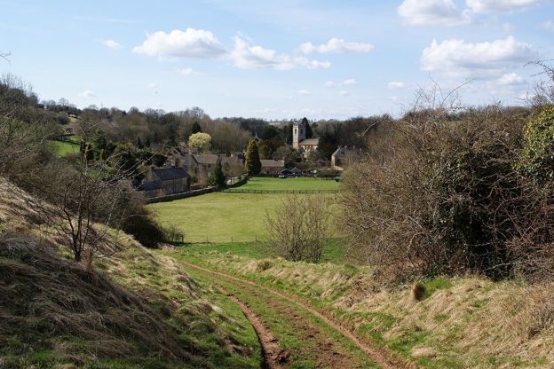
Guiting Power and Naunton
Walk · Starts in Guiting Power · 3 hrs, 30 mins · Circular
A 6.3-mile (10.1km) circular walk from Guiting Power's green, moderate and three to three and a half hours with two stiles: south on the Windrush Way round Gazeley Wood past Aylworth, up by the golf course above Naunton, and home on the Wardens' Way.
-
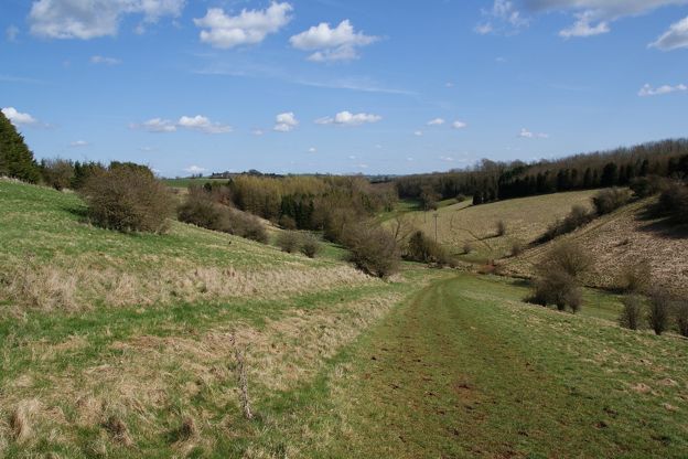
Harford Bridge and Naunton
Walk · Starts in Naunton · 1 hr, 15 mins · Circular
A 3-mile (4.8km) circular walk from Harford Bridge near Naunton, easy, stile-free and about an hour and a quarter: past the earthworks of the lost village of Lower Harford, along the Windrush Way, then into Naunton by its church, its rector's bridge and the Black Horse.
Stay and eat near St Andrew's Church, Naunton
-
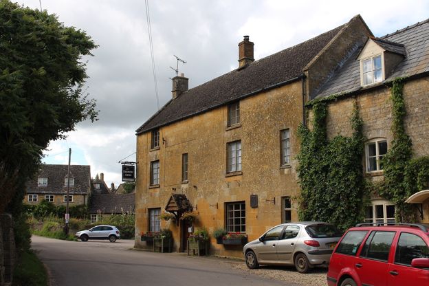
The Farmers Arms
Pubs · Guiting Power
A Donnington Brewery pub in Guiting Power with a log burner, a large beer garden and a skittle alley, serving food from Tuesday to Sunday.
Verified Nov 2026
-
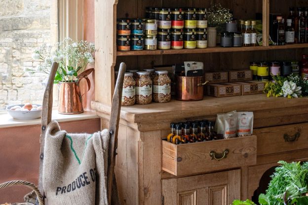
The Cotswold Guy
Farm shops and delis · Guiting Power
A chef-run farm shop and takeaway on Church Lane, Guiting Power, with seats inside and in the garden, which also does catering and events, open every day.
Verified Oct 2026
-
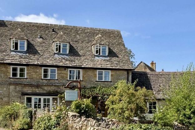
Guiting Guest House
B&B · Guiting Power
An adults-only guest house with six rooms in a seventeenth-century farmhouse in Guiting Power, kept free of pets, with an honesty bar and walking breaks.
Walker-friendly
Verified Nov 2026
More sights to see
-
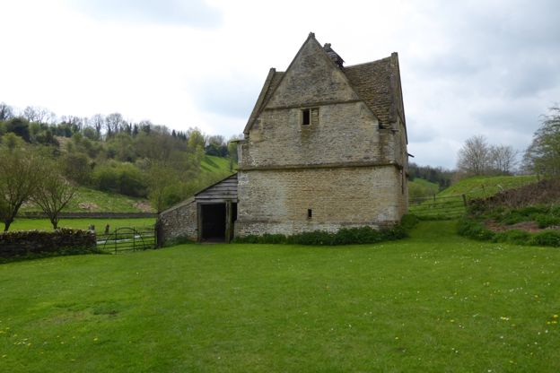
Naunton dovecote
Sight · Historic building · Naunton
Naunton's dovecote is a square stone pigeon house of the sixteenth century or earlier, with a gable on each face, a lantern on top and its nesting boxes still inside. Listed Grade II*, it is looked after by a charity, the Naunton Dovecote Trust.
-
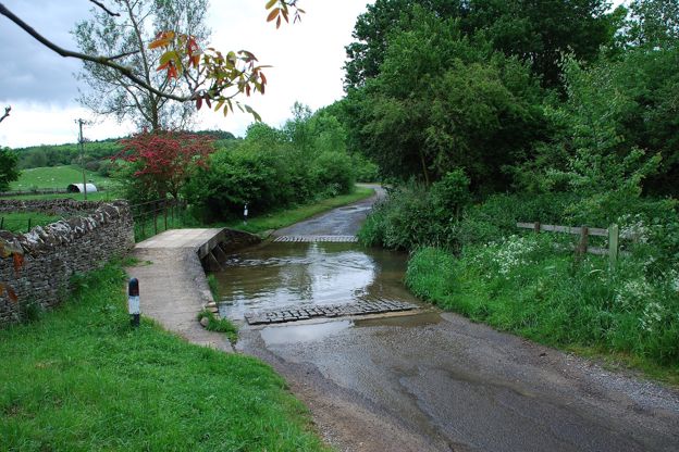
Clapper bridge, Lower Harford
Sight · Bridge · Naunton
The clapper bridge at Lower Harford Farm near Naunton is a low bridge of limestone blocks laid flat on stone piers across the Windrush, of the eighteenth century or earlier: a rare survival here of a kind of bridge more often found in upland country. Grade II.
-
Lower Harford deserted village
Sight · Monument · Naunton
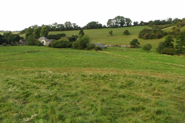
Lower Harford is a lost medieval village by the River Windrush near Naunton: house platforms beside a hollow way, terraces and water channels in a field. Seven people were recorded here in 1086 and two in 1327, and by 1341 it was largely deserted. A scheduled monument.