Saffron Blaze, CC BY-SA 3.0, via Wikimedia Commons
River Windrush
The River Windrush rises on the high wolds of Gloucestershire and runs south-east through Naunton, Bourton-on-the-Water, Burford, Minster Lovell and Witney to join the Thames at Newbridge. Public footpaths follow much of it, and eight of our walks meet it.
The River Windrush is the river of the eastern Cotswolds. It rises on the high wolds of Gloucestershire above Guiting Power, runs south-east through Naunton and Bourton-on-the-Water, flows into Oxfordshire to Burford, and flows on past Swinbrook, Minster Lovell and Witney to join the Thames at Newbridge. Footpaths follow long stretches of it, and our walks meet it in eight places.
History
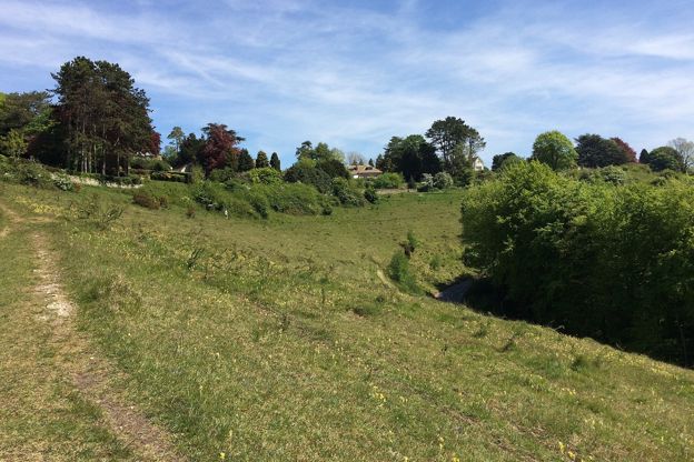
The Windrush has shaped every village on its banks. At Naunton the Victoria County History describes the river running through the parish with land rising steeply on both sides, and the hamlets of Aylworth and Harford in the south of the parish; a ford over the river gave Harford its name. At Lower Harford humps and hollows on the slope above the water meadows mark a medieval village, largely deserted by 1341, and at Lower Harford Farm a rare clapper bridge still crosses the stream.
Bridges and towns
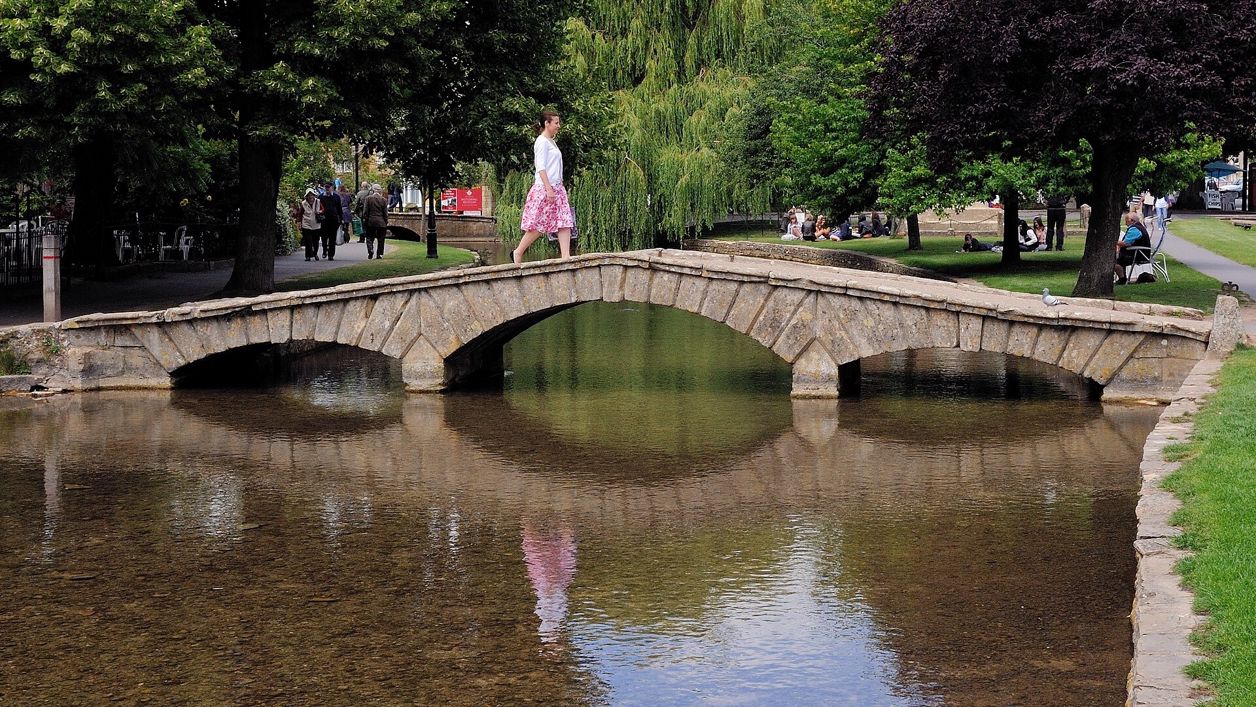
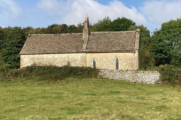
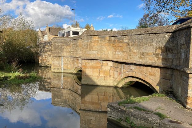
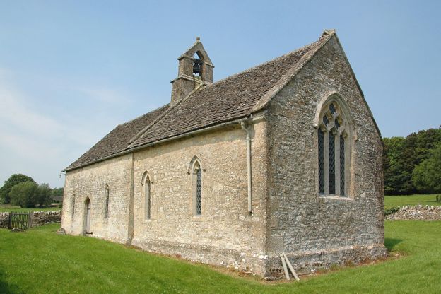
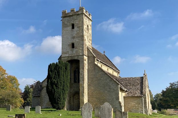
Downstream, the river made the towns. In Bourton-on-the-Water it runs shallow beside the green under a series of low stone footbridges, among them the Narrow Bridge. In Burford the High Street runs down the hill to the Windrush, which passes under the town's old bridge: Historic England's listing gives it a fifteenth-century origin, heavily remodelled in 1791, with four segmental arches. Below Burford the river passes the little church of St Oswald's, Widford, alone in its field, and St Mary's, Swinbrook, where the Mitford sisters are buried.
Minster Lovell and Witney
At Minster Lovell the ruins of Minster Lovell Hall, built in the 1430s by William, Lord Lovell, stand on the bank beside St Kenelm's Church. Minster Lovell Bridge, by the car park, is probably early nineteenth century, and Crawley's bridge downstream, probably late eighteenth, has three round arches with pointed cutwaters. In Witney the river divides into several streams through the meadows south of the town, where a traditional hay meadow and wet grassland lie beside Witney Lake. From there it runs south to the Thames.
What to see
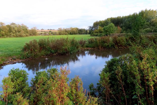
The river changes as it goes: a stream in the valley at Naunton, shallow and wide beside the green at Bourton, and winding through water meadows between Burford and Minster Lovell, past the churches at Widford and Swinbrook. In August and September 2026 walkers by the river at Minster Lovell and Crawley reported herons, a red kite and a kingfisher. In winter the meadows flood: walkers found the Burford meadows under water in January and February 2026, and the path beyond Crawley impassable in January.
Visiting
The Windrush is free to walk beside wherever a public footpath follows it; there is no single path along its whole length. The best stretches for a day are Burford to Swinbrook and back, Minster Lovell to Crawley, and the meadows at Witney. Paths are grass and field edges, with gates and some stiles, and they are muddy or flooded after rain. Cattle graze some of the meadows, so close the gates behind you. The Environment Agency runs a flood alert for the river from Bourton to Newbridge, covering Burford, Minster Lovell, Crawley and Witney, which you can check on GOV.UK before a winter walk.
Getting there
In Burford, park at the Guildenford car park (free, 166 spaces), close to the river. At Minster Lovell, English Heritage suggests the small car park serving St Kenelm's Church, if there is space; there is no parking on the lane down to the hall. On foot, eight of our walks meet the river:
- Burford, Fulbrook and Widford comes home along the Windrush meadows, and Burford's lanes and fields goes down to the river in the town.
- Swinbrook, Fulbrook and Widford takes the riverside path between Widford and Swinbrook.
- Minster Lovell, Crawley and the Windrush follows the river back to the hall.
- Witney Lake and Cogges runs down through the meadows south of Witney.
- Harford Bridge and Naunton crosses it at Lower Harford, and Bourton, the Slaughters and Naunton comes back down the Windrush Way along the valley floor.
- Bourton, Upper Slaughter and Lower Slaughter starts beside the river in Bourton.
Nearby
In Burford, the Lamb Inn and the Bull are a few minutes from the bridge, and the Swan at Swinbrook is the pub at Swinbrook. At Minster Lovell, the Old Swan is by the bridge and its sister hotel, Minster Mill, has a spa on the Windrush. Our guide to the Oxfordshire Cotswolds covers the lower valley.
Walks past River Windrush
-
Burford, Fulbrook and Widford
Walk · Starts in Burford · 2 hrs, 30 mins · Circular · Dog-friendly
A 6-mile (9.7km) circular walk from Guildenford car park in Burford, about two and a half hours of moderate walking with stiles and some road. It crosses the old bridge to Fulbrook and the fields to Widford's church, and returns along the Windrush meadows, which flood in winter.
-
Burford's lanes and fields
Walk · Starts in Burford · 1 hr · Circular
A 1.7-mile (2.7km) circular walk from Burford's free riverside car park, easy and about an hour, mostly on pavements and lanes. It climbs Witney Street and Barns Lane to a field west of the town, then comes back down Sheep Street and Priory Lane to the church.
-
Swinbrook, Fulbrook and Widford
Walk · Starts in Burford · 2 hrs · Circular · Dog-friendly
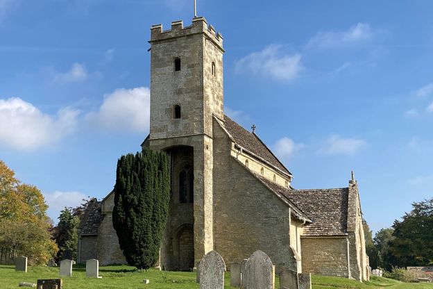
A 4.3-mile (6.9km) easy loop of about two hours from the Swan at Swinbrook: north on a lane and west over fields to Fulbrook, back by a lane, then down a wooded valley to Widford's lone church and along the Windrush to the Mitford graves at St Mary's.
Stay and eat near River Windrush
-
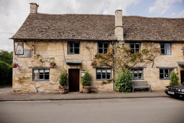
The Lamb Inn
Inn · Burford
An inn with rooms in Burford, part of Cotswold Inns and Hotels, taking bookings for rooms and tables and welcoming dogs.
Dog-friendly
Verified Nov 2026
-
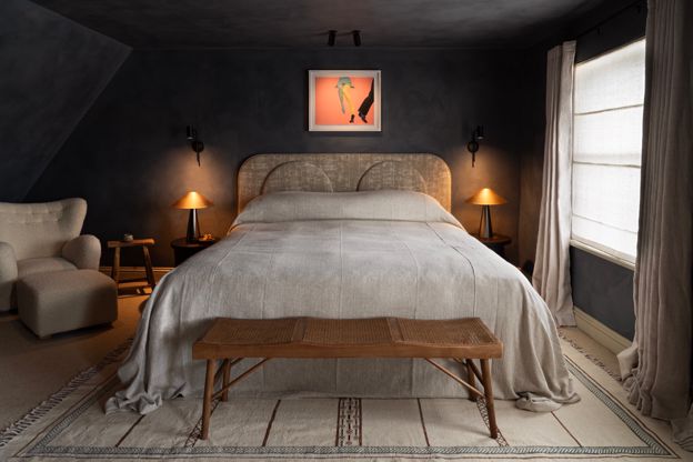
Bull, Burford
Hotel · Burford
A coaching inn on Burford's High Street, opened in 1536 by its own account, now a hotel with 18 rooms, three restaurants and a treatment suite.
Wedding venues
Verified Oct 2026
-
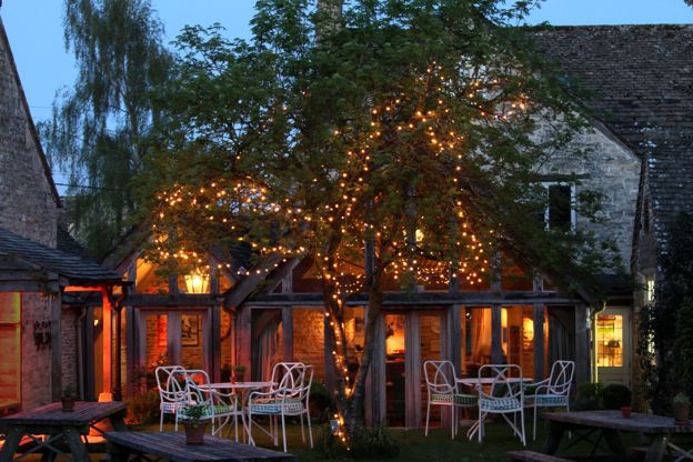
The Swan Inn, Swinbrook
Inn · Burford
An inn on the River Windrush at Swinbrook, near Burford, with bedrooms in its stables and a riverside cottage.
Verified Oct 2026
Stories about River Windrush
-
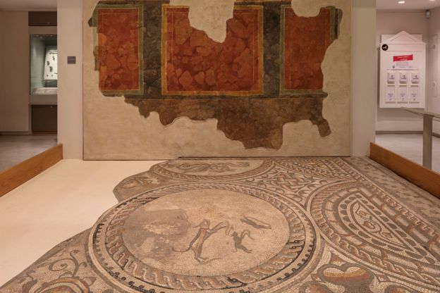
The Cotswolds on a rainy day
Story · Guides · 10 minute read
Museums, houses, a steam railway, spas with day passes, cinemas, theatres and pubs with fires: the Cotswolds when it rains, by region, with the free museums, what suits children and the honest bit about the rivers.
-
The Cotswolds with a dog
Story · Guides · 11 minute read
The rules for a dog in the Cotswolds, where sheep and cattle graze the commons and the fields, then the best dog walks, the rivers for a swim, the attractions, gardens, pubs and places to stay that welcome dogs, and what to do on a hot day or in an emergency.
-

The Cotswolds with children
Story · Guides · 11 minute read
The Cotswolds with children, by age: the big family days out with how long to allow and what they cost, short walks with a river or a tower, rainy days, farm stays and family rooms, eating out, a sample day and weekend, and the school holiday crowds.
More sights to see
-
Burford Bridge
Sight · Bridge · Burford
Burford Bridge carries the road over the River Windrush at the foot of Burford's High Street: four low arches with pointed cutwaters, medieval in origin and heavily remodelled in 1791. Grade II*, on the way in and out of the town.
-
St Oswald's Church, Widford
Sight · Church · Burford
St Oswald's is a small thirteenth-century church alone in a field above the Windrush at Widford, between Burford and Swinbrook: built on a Roman villa, the last trace of a lost village, with medieval wall paintings and box pews. Grade II*; reached on foot only.
-
St Mary's Church, Swinbrook
Sight · Church · Burford
St Mary's in Swinbrook, near Burford, is a medieval church by the Windrush with the stacked Fettiplace effigies in its chancel and, in the churchyard, the graves of four Mitford sisters, Nancy, Pamela, Diana and Unity; their parents lie there too. Open daily. Grade II*.