Rodw, CC BY-SA 4.0, via Wikimedia Commons
Burford, Fulbrook and Widford
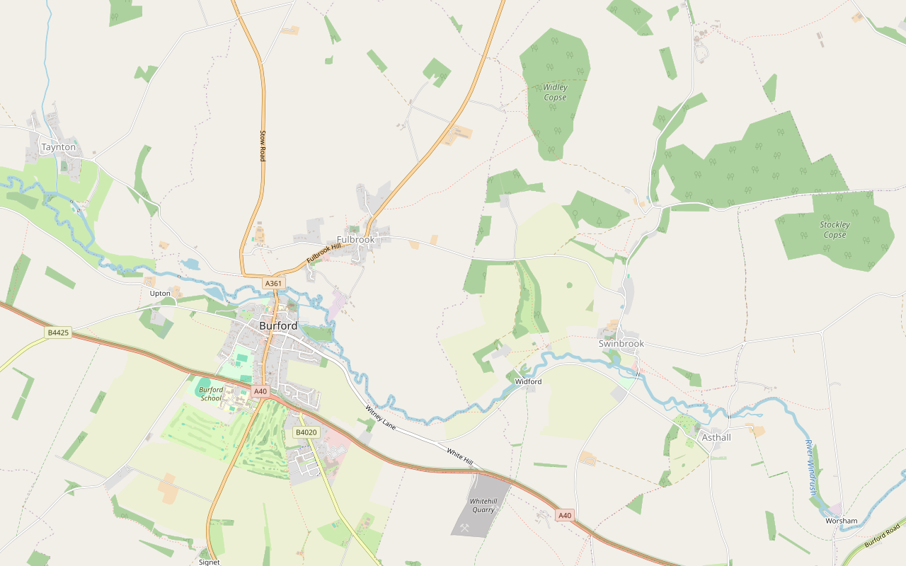
A 6-mile (9.7km) circular walk from Guildenford car park in Burford, about two and a half hours of moderate walking with stiles and some road. It crosses the old bridge to Fulbrook and the fields to Widford's church, and returns along the Windrush meadows, which flood in winter.
- Distance
- 9.7 km (6.0 mi)
- Difficulty
- Moderate
- Time
- 2 hrs, 30 mins
- Ascent
- 117 m
- Circular
- Circular
The route
Starts at Guildenford car park, Burford Muddy in winterStilesLivestock in fieldsRoad walking Download GPX
Step by step
-
Step 1: Through Burford to the bridge
From Guildenford car park, walk up to Church Lane, past the Great Almshouses, Warwick Hall and the grammar school, with the church behind the wall on your right. At the bottom of the High Street turn right over the bridge across the Windrush.
-
Step 2: Into Fulbrook
Beyond the bridge, follow Fulbrook Hill a short way, then take Fulbrook footpath 6 through kissing gates and over stiles into Fulbrook. Pass the war memorial, rejoin Fulbrook Hill briefly, and turn off on footpath 7.
- Stiles
-
Step 3: North-east over the fields
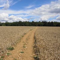
Follow footpath 7 and then the Swinbrook and Widford footpaths north-east across open fields to the edge of the woods. Walkers report ploughed fields where the line is hard to see, so keep to the field edges and waymarks. Join the track and follow it, as a footpath and then a restricted byway, round to the east and back south-west to the lane.
- Muddy in winter
-
Step 4: Down the valley to Widford
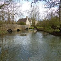
Cross the lane and take the footpath south down the wooded valley. At the bottom, St Oswald's church stands alone in its field. Follow the track past it to the lane and cross the Windrush on Widford Bridge.
-
Step 5: Back along the Windrush
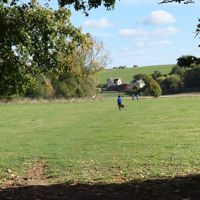
Turn west on Burford footpath 17 along the river meadows, over stiles; cattle and sheep may be grazing, and these meadows flood in winter. At the end, follow Witney Lane and Witney Street back into Burford, past Mill House and the Baptist church, to Guildenford.
- Stiles
- Muddy in winter
- Dogs on lead
Sights on the way
The sights this walk passes, numbered as on the map.
-
St John the Baptist, Burford
Sight · Church · Burford
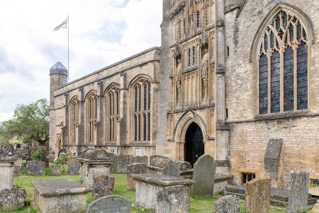
St John the Baptist is Burford's great wool church by the Windrush: Norman at its core, with a fan-vaulted porch, the Tanfield and Harman monuments, and the font where a Leveller carved his name before three were shot in 1649. Grade I; open daily, free.
-
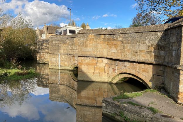
Burford Bridge
Sight · Bridge · Burford
Burford Bridge carries the road over the River Windrush at the foot of Burford's High Street: four low arches with pointed cutwaters, medieval in origin and heavily remodelled in 1791. Grade II*, on the way in and out of the town.
-
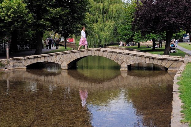
River Windrush
Sight · River · The Oxfordshire Cotswolds
The River Windrush rises on the high wolds of Gloucestershire and runs south-east through Naunton, Bourton-on-the-Water, Burford, Minster Lovell and Witney to join the Thames at Newbridge. Public footpaths follow much of it, and eight of our walks meet it.
-
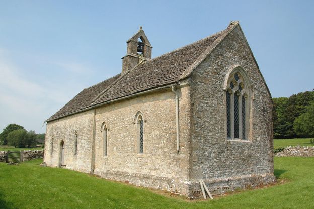
St Oswald's Church, Widford
Sight · Church · Burford
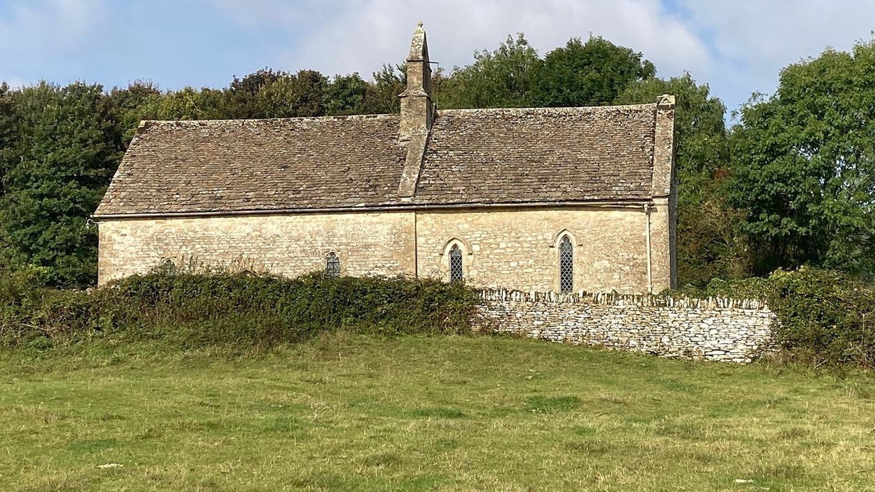
St Oswald's is a small thirteenth-century church alone in a field above the Windrush at Widford, between Burford and Swinbrook: built on a Roman villa, the last trace of a lost village, with medieval wall paintings and box pews. Grade II*; reached on foot only.
The walk in detail
The Burford, Fulbrook and Widford walk is a 6-mile (9.7km) circular route from the free Guildenford car park in Burford. It is moderate, with 117m of climbing, stiles and some road, and takes about two and a half hours. The highlight is Widford's church alone in its field, and the Lamb Inn in Burford is the pub at the end.
Church Lane and the bridge
The first few hundred metres pass some of Burford's oldest buildings. The Great Almshouses on Church Lane carry a tablet saying Richard, Earl of Warwick, founded them in 1457; they were rebuilt in 1828. Next door, the grammar school was rebuilt in the 1570s for Simon Wysdom, an alderman, and a tablet of 1579 says so; the ends of three iron tie rods on its front spell B.G.S.
Behind them is St John the Baptist, a Grade I wool church begun in the twelfth century, its spire planned by 1396. In May 1649 about 340 Leveller mutineers were locked in the church and their ringleaders were executed, and a plaque on the church wall recalls them. Our story on the wool churches of the Cotswolds has more on it.
The bridge at the foot of the High Street began in the fifteenth century and was heavily remodelled in 1791. It has four low arches with pointed cutwaters, and it stands partly in Fulbrook parish, where the walk goes next.
Fulbrook, the fields and Widford
The middle of the walk crosses open fields from Fulbrook and drops through a wooded valley to Widford. Fulbrook's church of St James the Great, about 100m off the path by the war memorial, is listed for its twelfth-century fabric: a round-arched Romanesque south doorway and an open stone porch of the thirteenth century. Beyond the village the walk heads out over open, unshaded fields, on footpaths and then a track that becomes a restricted byway, before a footpath drops south through a wooded valley.
At the bottom, St Oswald's church at Widford stands on its own in a field. Its listing says it was built on the site of a Roman villa, and fragments of Roman mosaic floor lie below the chancel floor. The nave and chancel are thirteenth century, with medieval wall paintings, eighteenth-century box pews and a pulpit probably made from a fifteenth-century screen. Widford Bridge, of three round arches, is probably early nineteenth century.
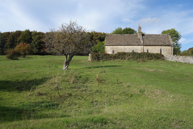
The Swan Inn at Swinbrook is about 700m east of Widford, and several walkers make the detour for lunch; Swinbrook's church, where the Mitford sisters are buried, is on our Swinbrook and Fulbrook walk.

The Cotswolds Info newsletter
Events, new places and the best of the season, about once a month. Unsubscribe at any time.
What walkers report
The return along the Windrush is the part that floods. Walkers in January and February 2026 found the meadows under water, needing knee-high boots; some turned back, and one group used the main road instead. In September 2026 two walkers found fields freshly ploughed, with the path hard to follow. Others mention a good deal of road walking, on Fulbrook Hill and on Witney Lane at the end, part of it without a pavement.
Expect stiles and gates, nettles on overgrown stretches in early summer, and sheep and cows in some fields (October and June 2026, December 2025).
Before and after
Burford has the food and the parking, at the start and finish. Guildenford car park is free, with 166 spaces split between 4-hour and 10-hour bays, and the public toilets there cost 20p, coins only. The Lamb Inn on Sheep Street welcomes dogs, as our guide to the Cotswolds with a dog notes, and the Bay Tree has rooms nearby, with dogs welcome too. The Angel at Burford, an inn on Witney Street, has a walled garden and opens from 8.30am every day. The Tolsey Museum on the High Street is free and opens in the afternoons from April to October. For more rooms, see places to stay in Burford.
Shorter walks from Burford
Burford has a shorter loop from the same car park, and two more walks downstream. Our Burford town walk is 1.7 miles round the town's lanes and fields. The Swinbrook and Fulbrook loop shares this walk's fields and valley path but starts at the Swan, and Minster Lovell and Crawley follows the Windrush further downstream.
Places on the way
-
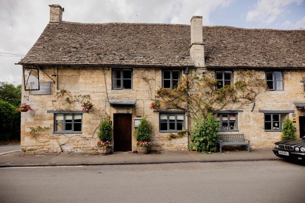
The Lamb Inn
Inn · Burford
An inn with rooms in Burford, part of Cotswold Inns and Hotels, taking bookings for rooms and tables and welcoming dogs.
Dog-friendly
Verified Nov 2026
-
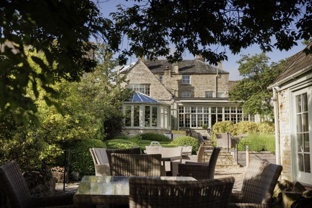
The Bay Tree
Hotel · Burford
A Grade II listed hotel on Sheep Street, Burford, with 21 rooms and a walled garden, part of Cotswold Inns and Hotels, dogs welcome.
Dog-friendly · Wedding venues
Verified Oct 2026
-
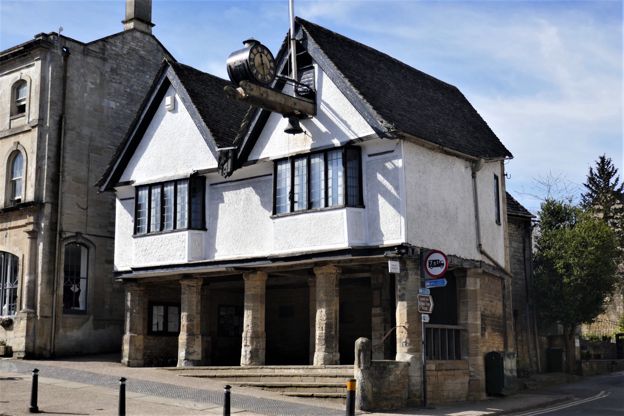
Burford Tolsey Museum
Museums and galleries · Burford
Burford's small free museum in the Tolsey, the sixteenth-century market house on the High Street, run by volunteers and open on summer afternoons.
Verified Oct 2026
-
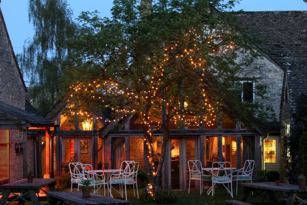
The Swan Inn, Swinbrook
Inn · Burford
An inn on the River Windrush at Swinbrook, near Burford, with bedrooms in its stables and a riverside cottage.
Verified Oct 2026
-
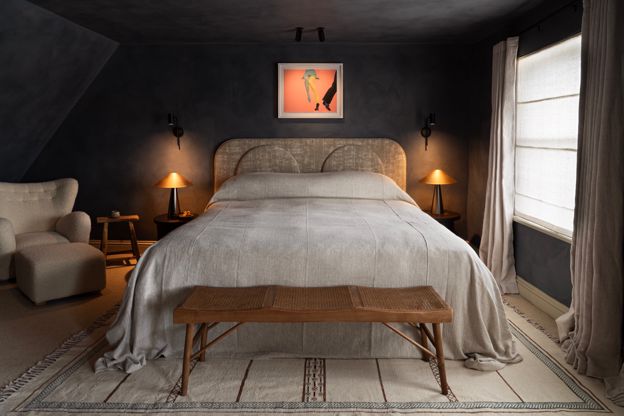
Bull, Burford
Hotel · Burford
A coaching inn on Burford's High Street, opened in 1536 by its own account, now a hotel with 18 rooms, three restaurants and a treatment suite.
Wedding venues
Verified Oct 2026
-
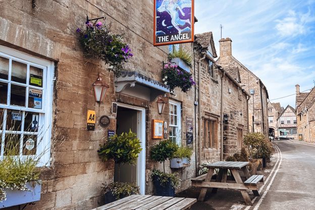
The Angel at Burford
Pubs · Burford
An inn on Witney Street, Burford, run by the King family since 2011, with an AA Rosette for its cooking, a walled garden and sun terrace, three bedrooms and food from breakfast onwards.
Verified Nov 2026
Stay near the start
Inns, cottages and hotels within a short drive of where the walk begins, so you can set off early.
Where to stay in Burford-
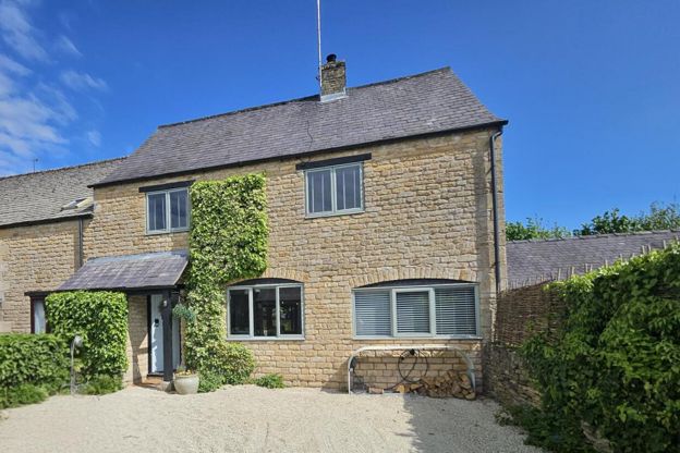
Cotswold Stay
Self-catering · Burford
A four-bedroom house in Burford that sleeps eight, let for self-catering, with no dogs.
Family-friendly
Verified Oct 2026
-
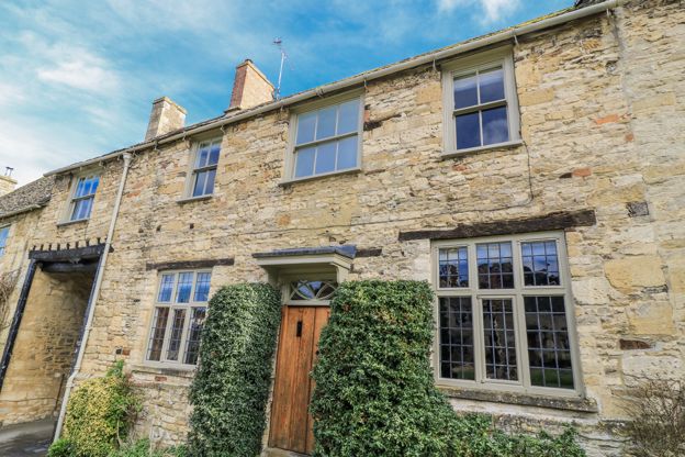
Ostlers
Self-catering · Burford
A three-bedroom holiday cottage in Burford, let through Manor Cottages, sleeping six, with a garden, a woodburner and parking for one car; no pets.
Family-friendly
Verified Oct 2026
-
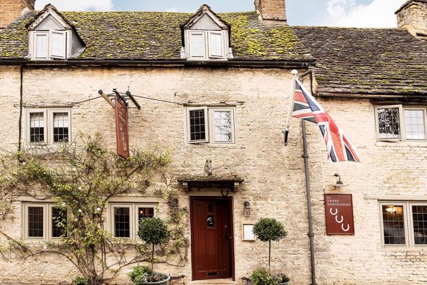
The Three Horseshoes, Asthall
Inn · Burford
An eighteenth-century pub with six rooms at Asthall, near Burford, where innkeepers have been recorded since 1726.
Verified Oct 2026
More like this
Stories on this walk
-
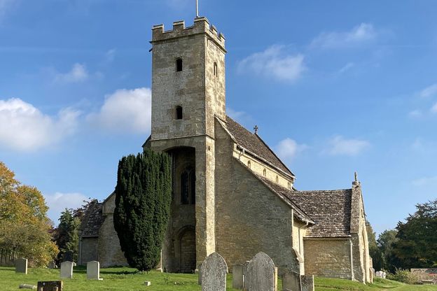
The Mitford sisters in the Cotswolds
Story · History · 8 minute read
Where the six Mitford sisters grew up in the Cotswolds, from Batsford to Asthall Manor and Swinbrook, the graves of Nancy, Pamela, Diana and Unity at St Mary's, the Swan, and the politics that divided the family, told plainly.
More walks to try
-
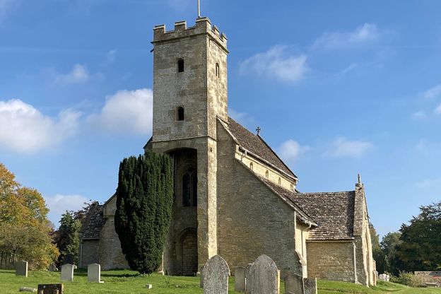
Swinbrook, Fulbrook and Widford
Walk · Starts in Burford · 2 hrs · Circular · Dog-friendly
A 4.3-mile (6.9km) easy loop of about two hours from the Swan at Swinbrook: north on a lane and west over fields to Fulbrook, back by a lane, then down a wooded valley to Widford's lone church and along the Windrush to the Mitford graves at St Mary's.
-
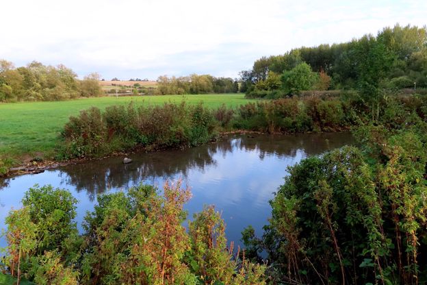
Burford's lanes and fields
Walk · Starts in Burford · 1 hr · Circular
A 1.7-mile (2.7km) circular walk from Burford's free riverside car park, easy and about an hour, mostly on pavements and lanes. It climbs Witney Street and Barns Lane to a field west of the town, then comes back down Sheep Street and Priory Lane to the church.
-
Minster Lovell, Crawley and the Windrush
Walk · Starts in the Oxfordshire Cotswolds · 1 hr, 30 mins · Circular · Dog-friendly
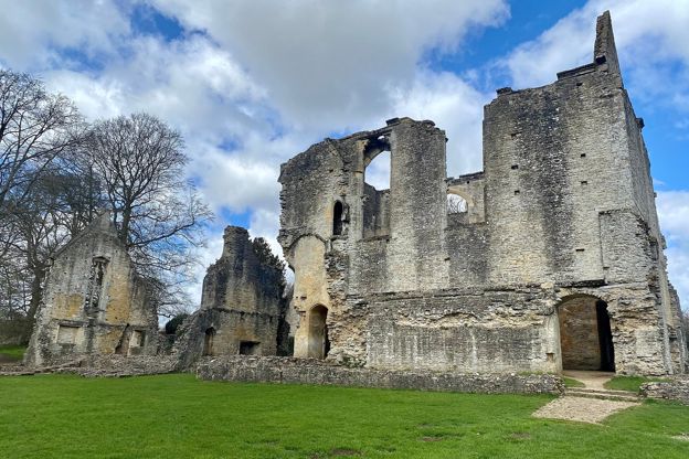
A 3.7-mile (6km) circular walk from the bridge at Minster Lovell, easy and about an hour and a half: over the fields to Crawley, back along the River Windrush to the ruins of Minster Lovell Hall, its dovecote and St Kenelm's church. Wet in winter.