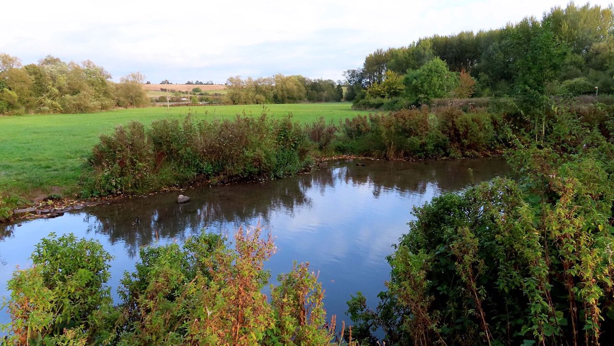
Steve Daniels, CC BY-SA 2.0, via Wikimedia Commons
Burford's lanes and fields
A 1.7-mile (2.7km) circular walk from Burford's free riverside car park, easy and about an hour, mostly on pavements and lanes. It climbs Witney Street and Barns Lane to a field west of the town, then comes back down Sheep Street and Priory Lane to the church.
- Distance
- 2.7 km (1.7 mi)
- Difficulty
- Easy
- Time
- 1 hr
- Ascent
- 41 m
- Circular
- Circular
The route
Starts at Guildenford car park, Burford Road walkingMuddy in winter Download GPX
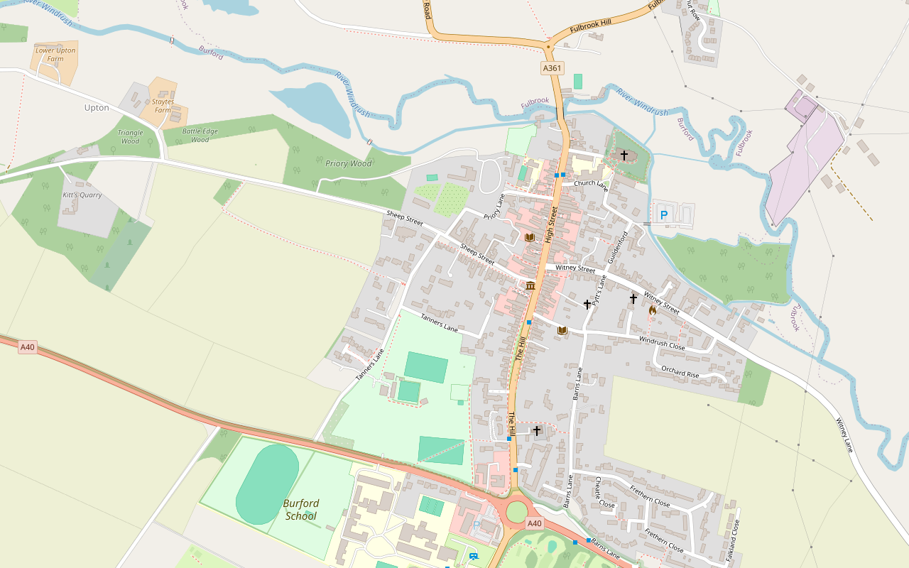
Step by step
-
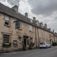
Step 1: Witney Street and Barns Lane
From Guildenford car park, walk up Guildenford to Witney Street, past the Great House and the Quaker meeting house, then turn up Pytt's Lane and follow Barns Lane uphill to the footpath at its end.
-
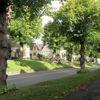
Step 2: Across the High Street
Follow Burford footpath 7 to the top of the High Street and cross it with care; Price's Almshouses are on the far side. Carry on along footpaths 8 and 9 and then the permissive path round the playing fields to Tanners Lane.
- Muddy in winter
-
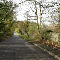
Step 3: The fields west of the town
From Tanners Lane take footpath 6 out across the field west of the town and round its edge, then follow the lane back to Sheep Street. Walkers report nettles and long grass here in summer and mud after rain.
- Muddy in winter
-
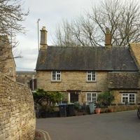
Step 4: Sheep Street, Priory Lane and Church Lane
Walk down Sheep Street past the Lamb, turn into Priory Lane past the gates of the Priory, and come out on the High Street by Falkland Hall. Cross into Church Lane, past the grammar school and the Great Almshouses, and back to Guildenford.
Sights on the way
The sights this walk passes, numbered as on the map.
-
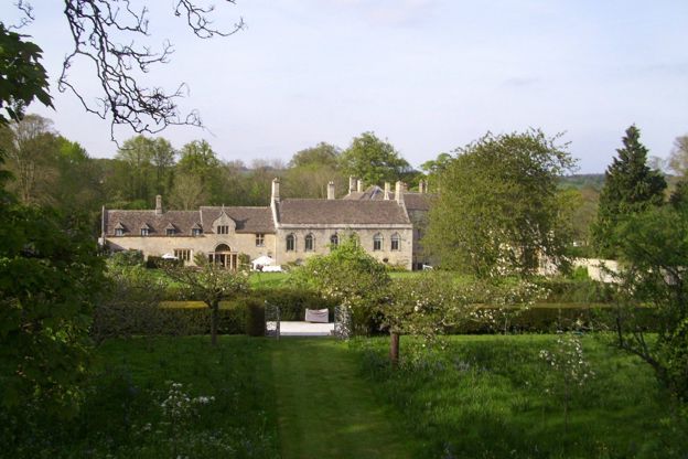
Burford Priory
Sight · Historic building · Burford
Burford Priory is a Jacobean mansion on the site of a medieval hospital in Burford, remodelled by Speaker Lenthall in the seventeenth century, with his chapel of 1661 to 1662 beside it. Grade I; a private house, seen only from Priory Lane.
-
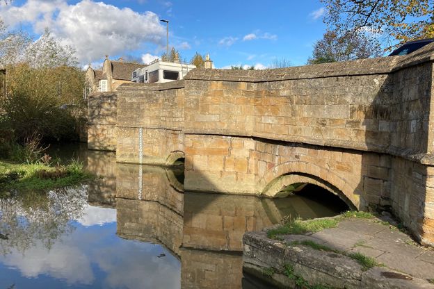
Burford Bridge
Sight · Bridge · Burford
Burford Bridge carries the road over the River Windrush at the foot of Burford's High Street: four low arches with pointed cutwaters, medieval in origin and heavily remodelled in 1791. Grade II*, on the way in and out of the town.
-
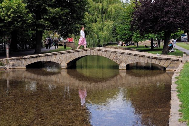
River Windrush
Sight · River · The Oxfordshire Cotswolds
The River Windrush rises on the high wolds of Gloucestershire and runs south-east through Naunton, Bourton-on-the-Water, Burford, Minster Lovell and Witney to join the Thames at Newbridge. Public footpaths follow much of it, and eight of our walks meet it.
-
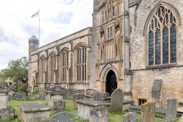
St John the Baptist, Burford
Sight · Church · Burford
St John the Baptist is Burford's great wool church by the Windrush: Norman at its core, with a fan-vaulted porch, the Tanfield and Harman monuments, and the font where a Leveller carved his name before three were shot in 1649. Grade I; open daily, free.
The walk in detail
The Burford town walk is a 1.7-mile (2.7km) circular route round Burford from the free Guildenford car park by the River Windrush. It is easy, with about 41m of climbing, mostly up Barns Lane, and takes about an hour. It passes the Great House, the Priory and the wool church, with the Lamb Inn on Sheep Street on the way.
Most of it is on pavements and lanes, with one field west of the town, so it works as a short first walk to get your bearings before a longer one.
Witney Street and the top of the town
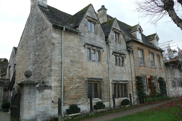
The walk starts by climbing out of the town on Witney Street and Barns Lane. Witney Street, just above the car park, has the Great House, a town mansion of seven bays first recorded on the burgage rent roll in 1685. Its listing calls the style a subdued English Baroque, with vases and flaming urn finials below a crenellated parapet. The route passes Burford's Quaker meeting house as it turns up Pytt's Lane.
Barns Lane climbs to a footpath that crosses the top of the High Street. On the far side, Price's Almshouses are dated 1912 on the arch of the central doorway, a single-storey row built in the Cotswold style, with mullioned windows and diamond-shafted chimneys.
Sheep Street and the Priory
After the field, the walk comes back into town on Sheep Street, past two of its inns and the Priory. The Lamb Inn has an eighteenth-century front that hides sixteenth-century features, with a mounting block beside one of its three wide entries. The Bay Tree hotel is a few doors along.
Priory Lane runs past the gates of the Priory, a Grade I house on the site of a small Augustinian hospital. Its listing traces it to about 1200 and the late sixteenth century, remodelled in the mid-seventeenth century by William Lenthall, Speaker of the House of Commons, and much reduced after 1808. His chapel of 1661 to 1662 stands beside it. The house is private; the lane gives the view.
Where Priory Lane meets the High Street, Falkland Hall is a tall town house of about 1578 with a stone oriel window on its first floor. Across the street and down the hill, the Methodist church began as a town mansion of about 1720 to 1730 for the Jordan family and became a chapel around 1849, and the Tolsey Museum, in the sixteenth-century market house, is free and opens daily from 2pm to 5pm between April and October.

The Cotswolds Info newsletter
Events, new places and the best of the season, about once a month. Unsubscribe at any time.
Church Lane
The walk ends along Church Lane, past the grammar school and the almshouses to the church. The grammar school was rebuilt in the 1570s for Simon Wysdom, and a tablet of 1579 on the front records it. The Great Almshouses beyond were founded by Richard, Earl of Warwick, in 1457 and rebuilt in 1828, and behind them stands the church of St John the Baptist, one of the Grade I wool churches of the Cotswolds, where Leveller mutineers were held in 1649.
What walkers report
Walkers' main note on AllTrails is how much of the walk is on roads and pavements (October 2025, August 2026), and AllTrails' surface data puts about 60% of the route on paved ground and a quarter on grass, so it suits a stroll more than a country walk. Walkers found the field section muddy after rain and slippery when wet (February 2026, February 2024), with nettles and long grass in summer (August and September 2023, July 2026).
Staying and walking on
Burford has plenty of places to stay within a few minutes of the route. The car park is free, with 166 spaces split between 4-hour and 10-hour bays, and the toilets there take 20p coins. Places to stay include the Bull on the High Street, Ostlers and Cotswold Stay for self-catering; our guide to where to stay in Burford has more. For a longer walk from the same car park, Burford, Fulbrook and Widford is 6 miles out over the fields and back along the river, and Swinbrook, Fulbrook and Widford starts two miles downstream. Our guide to the Cotswolds with a dog covers more walks with dogs.
Places on the way
-
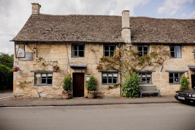
The Lamb Inn
Inn · Burford
An inn with rooms in Burford, part of Cotswold Inns and Hotels, taking bookings for rooms and tables and welcoming dogs.
Dog-friendly
Verified Nov 2026
-
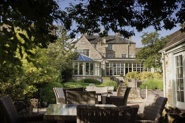
The Bay Tree
Hotel · Burford
A Grade II listed hotel on Sheep Street, Burford, with 21 rooms and a walled garden, part of Cotswold Inns and Hotels, dogs welcome.
Dog-friendly · Wedding venues
Verified Oct 2026
-
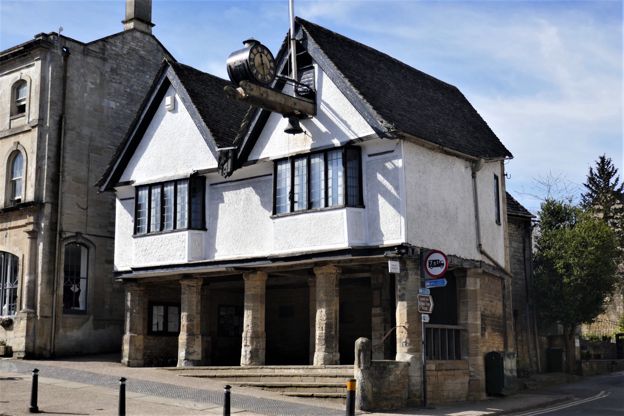
Burford Tolsey Museum
Museums and galleries · Burford
Burford's small free museum in the Tolsey, the sixteenth-century market house on the High Street, run by volunteers and open on summer afternoons.
Verified Oct 2026
-
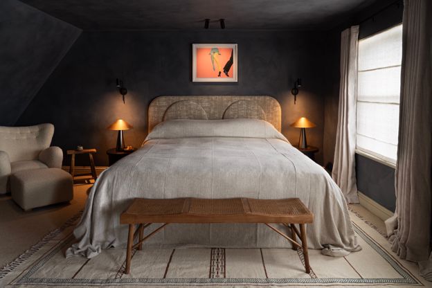
Bull, Burford
Hotel · Burford
A coaching inn on Burford's High Street, opened in 1536 by its own account, now a hotel with 18 rooms, three restaurants and a treatment suite.
Wedding venues
Verified Oct 2026
-
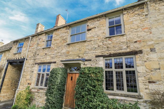
Ostlers
Self-catering · Burford
A three-bedroom holiday cottage in Burford, let through Manor Cottages, sleeping six, with a garden, a woodburner and parking for one car; no pets.
Family-friendly
Verified Oct 2026
-
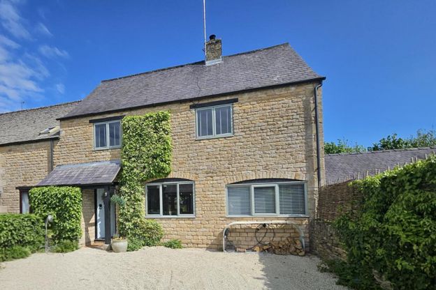
Cotswold Stay
Self-catering · Burford
A four-bedroom house in Burford that sleeps eight, let for self-catering, with no dogs.
Family-friendly
Verified Oct 2026
Stay near the start
Inns, cottages and hotels within a short drive of where the walk begins, so you can set off early.
Where to stay in Burford-
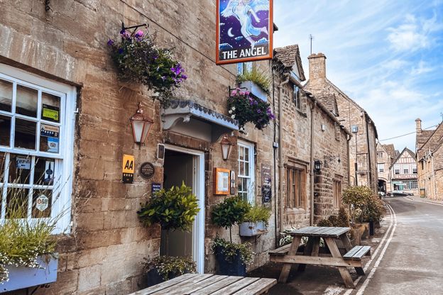
The Angel at Burford
Pubs · Burford
An inn on Witney Street, Burford, run by the King family since 2011, with an AA Rosette for its cooking, a walled garden and sun terrace, three bedrooms and food from breakfast onwards.
Verified Nov 2026
-
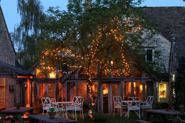
The Swan Inn, Swinbrook
Inn · Burford
An inn on the River Windrush at Swinbrook, near Burford, with bedrooms in its stables and a riverside cottage.
Verified Oct 2026
-
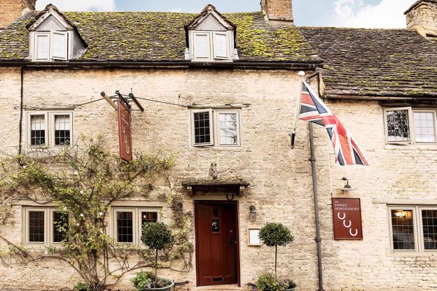
The Three Horseshoes, Asthall
Inn · Burford
An eighteenth-century pub with six rooms at Asthall, near Burford, where innkeepers have been recorded since 1726.
Verified Oct 2026
More like this
Stories on this walk
-
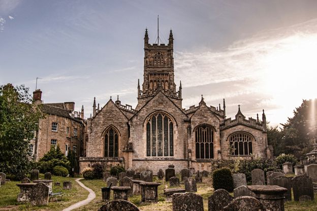
The wool churches of the Cotswolds
Story · Guides · 11 minute read
Northleach, Chipping Campden, Cirencester, Fairford, Burford and the other Cotswold churches rebuilt on medieval wool money: how the trade paid for them, what to look for in each, when they open and a route by car or on foot.
More walks to try
-
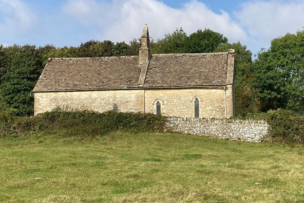
Burford, Fulbrook and Widford
Walk · Starts in Burford · 2 hrs, 30 mins · Circular · Dog-friendly
A 6-mile (9.7km) circular walk from Guildenford car park in Burford, about two and a half hours of moderate walking with stiles and some road. It crosses the old bridge to Fulbrook and the fields to Widford's church, and returns along the Windrush meadows, which flood in winter.
-
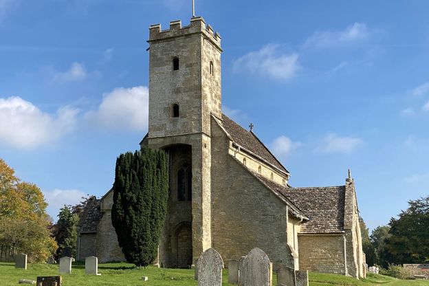
Swinbrook, Fulbrook and Widford
Walk · Starts in Burford · 2 hrs · Circular · Dog-friendly
A 4.3-mile (6.9km) easy loop of about two hours from the Swan at Swinbrook: north on a lane and west over fields to Fulbrook, back by a lane, then down a wooded valley to Widford's lone church and along the Windrush to the Mitford graves at St Mary's.
-
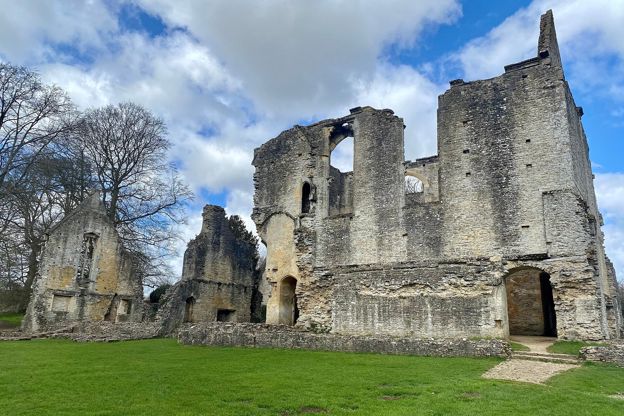
Minster Lovell, Crawley and the Windrush
Walk · Starts in the Oxfordshire Cotswolds · 1 hr, 30 mins · Circular · Dog-friendly
A 3.7-mile (6km) circular walk from the bridge at Minster Lovell, easy and about an hour and a half: over the fields to Crawley, back along the River Windrush to the ruins of Minster Lovell Hall, its dovecote and St Kenelm's church. Wet in winter.