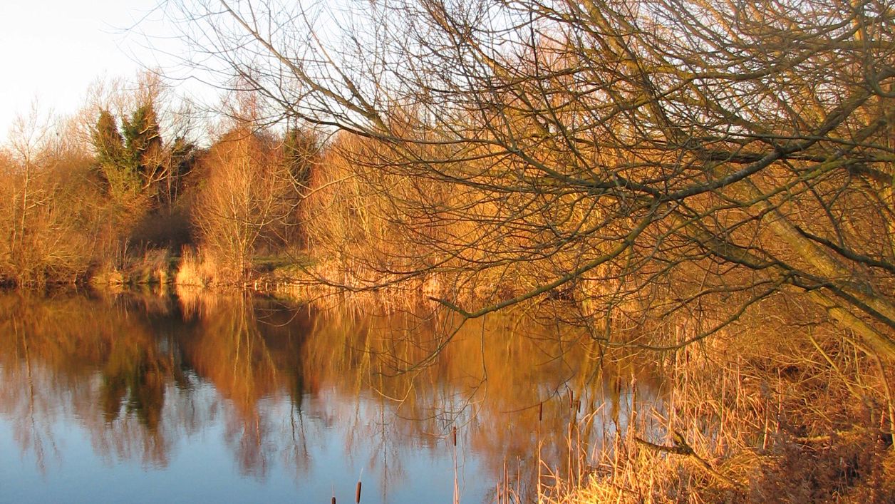
Paul Iddon, CC BY 2.0, via Flickr
Witney Lake and Country Park
Witney Lake and Country Park is a Local Nature Reserve on the south side of Witney: a former gravel pit and Windrush meadows run by the town council, with a lakeside path of under 2km, wildfowl in winter and terns in spring. Free.
Nature reserve
WitneyWitney Lake and Country Park lies on the south side of Witney, by the A40. It is a Local Nature Reserve, since March 2025, and a Local Wildlife Site, run by Witney Town Council: a former gravel pit turned into a lake, with a hay meadow and wet grassland between the streams of the River Windrush.
History
Witney Lake is a flooded gravel pit, one of many left by fifty years of mineral extraction in the Lower Windrush Valley. Known as Pit 37 or the Barrow Pit, it was dug in the mid 1980s for gravel used in building the Witney bypass, the A40 that now runs past it, and filled with water naturally. The town council bought it in the 1980s. Of all the lakes in the valley, it is the only one in public ownership and run as a country park, and Natural England has helped fund much of its development.
Beyond the lake the country park runs up to Bishop’s Mill and takes in Mill Meadow and Snipe Meadow, grazed by a local farmer’s cattle. The field north of the A40 is kept as a traditional hay meadow; the meadow to the south is much wetter, with a network of shallow ponds dug to attract snipe and lapwing in winter. The meadows often flood in winter, and the scrapes hold water late into spring for snipe and egrets. A study by the Lower Windrush Valley Project and Pond Conservation recorded 110 species of birds at the lake.
What to see
Witney Lake is good for birds all year. The council's panels suggest what to look for:
- on the lake all year, coot, moorhen and great crested grebe;
- in winter, pochard, teal and goldeneye on the water, and snipe and egrets feeding in the flooded meadows;
- in spring and summer, common terns nesting on the tern raft and Cetti's warblers arriving to nest, with swifts that nest in the town overhead;
- kingfishers along the Windrush and Emma's Dyke, and dragonflies over the lake and river in summer;
- the river itself flowing in two channels through the park, having divided just upstream in Witney.
The south end of the lake is kept as a quieter nature reserve, and the north end for picnics and fishing, with accessible picnic benches by the water. Quarter-mile markers round the lake let you measure a walk or a run, and information points and rubbing boards along the way describe the wildlife.
Visiting
Witney Lake is free and open to walkers, and the council publishes no opening hours. The lakeside footpath is 1.5km on the council’s 2025 map and 1.1 miles (about 1.8km) on its 2026 panel, and the 2025 map says the path round the north side of the lake is wheelchair accessible. Beyond it are rougher paths, which may not suit people with restricted mobility, through meadows grazed by cattle, which often flood in winter. Swimming and paddling are not allowed anywhere in the lake, because of its unpredictable depths and unstable banks, and nor are camping, e-scooters, horse riding, fires or barbecues. Keep dogs under close control and clean up after them. Fishing licences come from the Witney Angling Society through State Tackle on Fettiplace Road (01993 702587); the Town Hall (01993 704379) answers other questions about the lake. The A40 passes close by, between the lake and the town.
Getting there
The council’s map shows no car park at the lake or the country park, so leave the car in one of Witney’s free town-centre car parks; the council’s panel puts the town centre 0.3 miles away. On foot, come from the town centre by Avenue Two off Station Lane and the underpass under the A40; footpaths also come in from Ducklington, and from Farm Mill Lane to the entrance by Bishop's Mill. The council's map shows toilets, with an accessible toilet, at the corner of the Leys Recreation Ground, on the way in from the town. The park's grid reference is SP 360 085.
Witney Lake and Cogges crosses the park on its first half, down the Windrush to the lake, before turning back by Cogges. For a longer walk, the Windrush Path runs south from the park for 1.9 miles (about 3km) along the river to Hardwick.
Nearby
St Mary's Church at the end of Church Green is the nearest sight, about 800m from the lake, with the Butter Cross beyond it and the Fleece on Church Green for food. Across the river, St Mary's at Cogges and Cogges Manor Farm are at the end of the walk, and the Premier Inn is the closest place to stay.
Walks past Witney Lake and Country Park
-
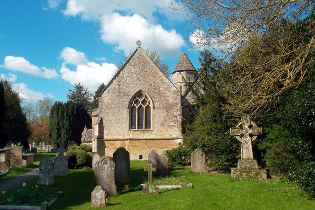
Witney Lake and Cogges
Walk · Starts in Witney · 1 hr, 15 mins · Circular
A 3.2-mile (5.1km) easy, flat loop of about an hour and a quarter from the middle of Witney: down the Windrush through the meadows to Witney Lake, back by farm tracks and a lane to Cogges, its manor farm, café and church.
Stay and eat near Witney Lake and Country Park
-
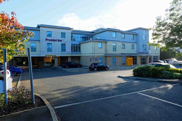
Premier Inn Witney
Hotel · Witney
A Premier Inn on Ducklington Lane, Witney, off the A40, with double, twin, family, accessible and Premier Plus rooms, a restaurant and free parking.
Verified Nov 2026
-
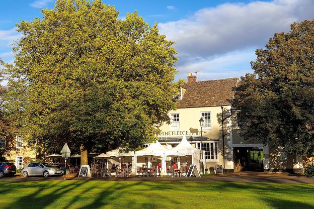
The Fleece, Witney
Inn · Witney
An inn with ten rooms on Church Green, Witney, run by Peach Pubs, with breakfast from 7.30am and food all day.
Verified Oct 2026
-
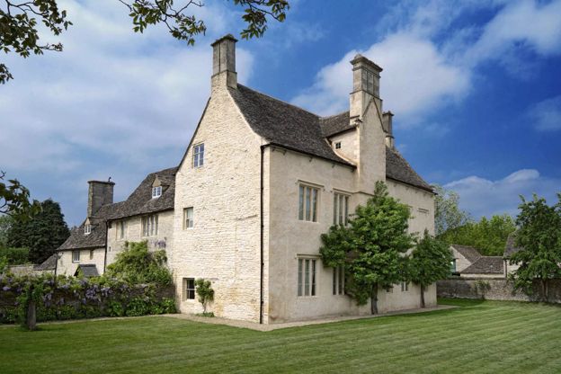
Cogges Manor Farm
Family days out · Witney
A manor house of the thirteenth century with a farm, walled garden, orchard and adventure playground on the edge of Witney, with free parking.
Family-friendly · Dog-friendly · Car-free
Verified Nov 2026
More sights to see
-
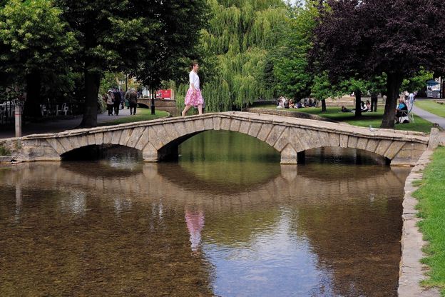
River Windrush
Sight · River · The Oxfordshire Cotswolds
The River Windrush rises on the high wolds of Gloucestershire and runs south-east through Naunton, Bourton-on-the-Water, Burford, Minster Lovell and Witney to join the Thames at Newbridge. Public footpaths follow much of it, and eight of our walks meet it.
-
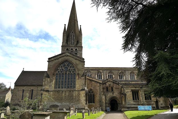
St Mary's Church, Witney
Sight · Church · Witney
St Mary the Virgin is Witney's cross-shaped parish church at the south end of Church Green, rebuilt in the thirteenth century around a central tower and broach spire, with a late Norman porch and a fine fourteenth-century north transept. Grade I; open daily.
-
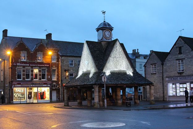
Butter Cross, Witney
Sight · Historic building · Witney
The Butter Cross is Witney's open market house in the Market Square, built soon after 1606 on 13 stone pillars, probably round an older cross, with a clock turret and sundial added in 1683 by William Blake of Cogges. Grade II* and scheduled; free to walk under.