Philip Jeffrey, CC BY-SA 2.0, via Wikimedia Commons
Lower Harford deserted village
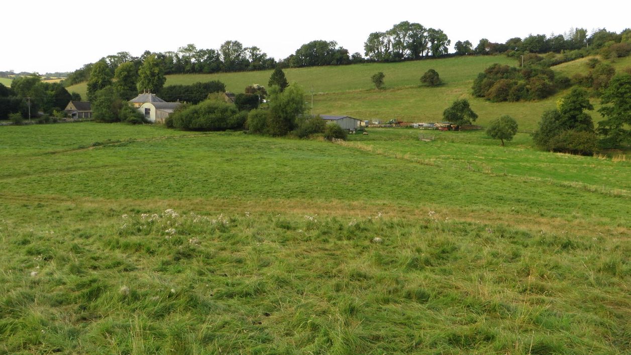
Lower Harford is a lost medieval village by the River Windrush near Naunton: house platforms beside a hollow way, terraces and water channels in a field. Seven people were recorded here in 1086 and two in 1327, and by 1341 it was largely deserted. A scheduled monument.
Monument
NauntonIn a field by the River Windrush at Lower Harford, a mile south-east of Naunton, the humps and hollows in the grass are all that is left of a medieval village. Seven people were recorded here in Domesday Book in 1086; by 1341 the settlement was largely deserted. Its earthworks are a scheduled monument, and two of our walks pass them.
History
Harford took its name from the ford over the Windrush, and in 1086 it was a small but busy place. The Victoria County History notes that its single hide, a unit of farmland, was valued as highly as Aylworth’s estate of four hides, with two ploughs on the lord’s land and two more worked by four villagers and a smallholder, and Domesday records a mill. Seven people were counted.
Decline
Then the village shrank. Only two people paid the lay subsidy, a tax, at Harford in 1327. By 1341 the settlement was largely deserted, and by 1381 the records no longer distinguished it from Naunton. Aylworth, the parish's other hamlet, was partly deserted too. The Victoria County History does not give a cause, but it records that from the fourteenth century Harford and Aylworth provided extensive sheep pastures. Tradition says the parish's earliest village was at Lower Harford, and the Victoria County History suggests the name Naunton, meaning a new settlement, may bear this out.
The farm and the college
By the seventeenth century Lower Harford Farm was the only house in the hamlet. From 1518 to 1958 the Harford estate belonged to Corpus Christi College, Oxford. The farmhouse was rebuilt in the eighteenth century, and Historic England's listing describes a house of about 1700 remodelled in the nineteenth; a vaulted cellar found in the twentieth century hints at something older beneath. Historic England first scheduled the earthworks in 1948.
What to see
The village lay on the lower slopes of a north-east-facing hillside above the river. On the higher ground, look for scarps cut into the hill to make level building platforms along the length of the settlement. At the south end a hollow way, the sunken line of the village street, runs north-east to south-west with six house platforms beside it.
Lower down, the villagers used the river. Channels drained the higher slopes into a water meadow on the flat valley floor, and at the south end a pond about 16m square has channels running into it. The earthworks show best in low winter light or after a frost, when every bank throws a shadow; in high summer the grass can hide them.
Visiting
The site is on farmland and is seen from the public footpaths, free and at any time; keep to the paths and close the gates. Animals may be grazing, so keep dogs close. The ground is uneven and can be wet on the valley floor in winter.
Getting there
Park on the verge on the north side of the B4068 near Harford Bridge, about a mile south-east of Naunton. The Harford Bridge and Naunton walk starts here, goes down the lane to Lower Harford Farm and crosses the Windrush by the footbridge near the farm entrance; the earthworks are in the field south of the river. The long walk from Bourton by the Slaughters and Naunton passes the site on its way back down the Windrush Way.
Nearby
By the farmhouse is a rare clapper bridge of squared limestone blocks over stone piers. Up the valley in Naunton are the Tudor dovecote and St Andrew's Church, with the Black Horse pub. Over the hill at Upper Slaughter is a medieval castle mound, with Lords of the Manor for a meal, and downstream at Bourton the Iron Age enclosure of Salmonsbury Camp shows how long people have lived along this river.
Walks past Lower Harford deserted village
-
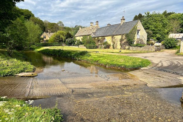
Bourton-on-the-Water, the Slaughters and Naunton
Walk · Starts in Bourton-on-the-Water · 5 hrs · Circular
A 10-mile (16.4km) circular walk from Bourton-on-the-Water, four to five hours of moderate walking with stiles and steep slopes. It follows the Wardens' Way through Lower and Upper Slaughter to Naunton, then comes home down the Windrush valley on the Windrush Way.
-
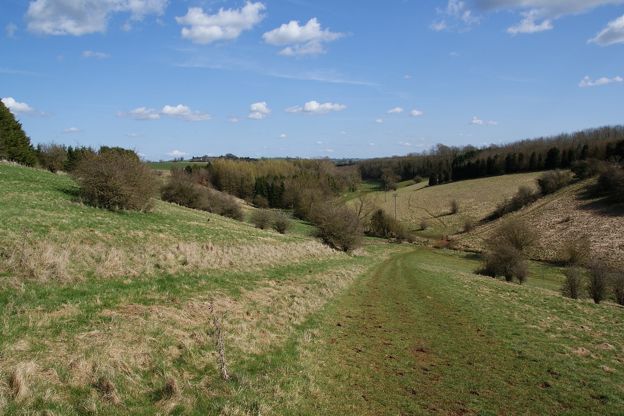
Harford Bridge and Naunton
Walk · Starts in Naunton · 1 hr, 15 mins · Circular
A 3-mile (4.8km) circular walk from Harford Bridge near Naunton, easy, stile-free and about an hour and a quarter: past the earthworks of the lost village of Lower Harford, along the Windrush Way, then into Naunton by its church, its rector's bridge and the Black Horse.
Stay and eat near Lower Harford deserted village
-
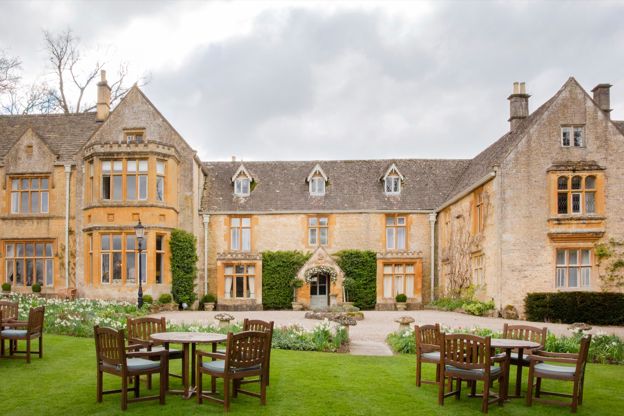
Lords of the Manor
Hotel · Upper Slaughter
A country house hotel with 25 bedrooms in eight acres of grounds in Upper Slaughter, in a house it dates to 1649, with dogs welcome.
Dog-friendly · EV charging · Wedding venues
Verified Oct 2026
-
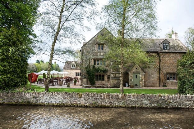
The Slaughters Country Inn
Inn · Lower Slaughter
An inn in Lower Slaughter, bought and renamed by the Brownsword family in 2011, with dog rooms and a Field Kitchen from April to September.
Dog-friendly · Family-friendly · Walker-friendly
Verified Oct 2026
-
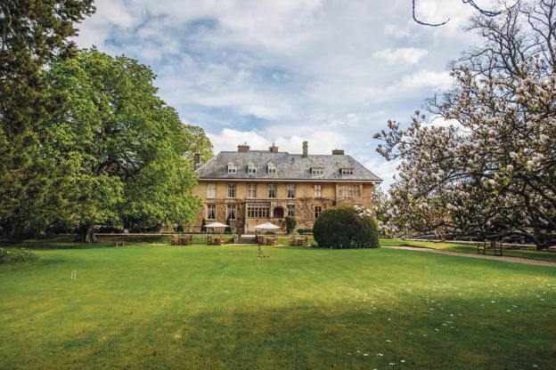
The Slaughters Manor House
Hotel · Lower Slaughter
A 17th-century manor house hotel with 19 bedrooms on Copsehill Road, Lower Slaughter, home of the Whitmore family until 1964, with dog rooms booked by phone.
Dog-friendly · Family-friendly · Wedding venues
Verified Oct 2026
More sights to see
-
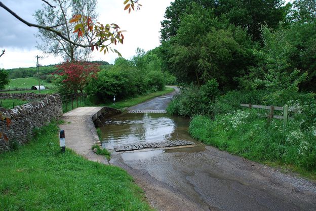
Clapper bridge, Lower Harford
Sight · Bridge · Naunton
The clapper bridge at Lower Harford Farm near Naunton is a low bridge of limestone blocks laid flat on stone piers across the Windrush, of the eighteenth century or earlier: a rare survival here of a kind of bridge more often found in upland country. Grade II.
-
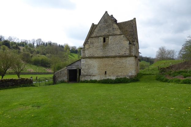
Naunton dovecote
Sight · Historic building · Naunton
Naunton's dovecote is a square stone pigeon house of the sixteenth century or earlier, with a gable on each face, a lantern on top and its nesting boxes still inside. Listed Grade II*, it is looked after by a charity, the Naunton Dovecote Trust.
-
St Andrew's Church, Naunton
Sight · Church · Naunton
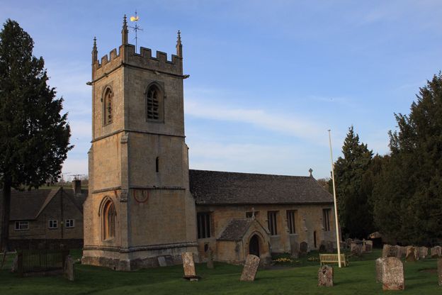
St Andrew's is Naunton's parish church in the Windrush valley: largely rebuilt around 1500 on an older site, with a pinnacled tower carrying two painted sundials, a stone pulpit of about 1500, a Saxon cross and a ring of six bells. Grade II*; open daily.