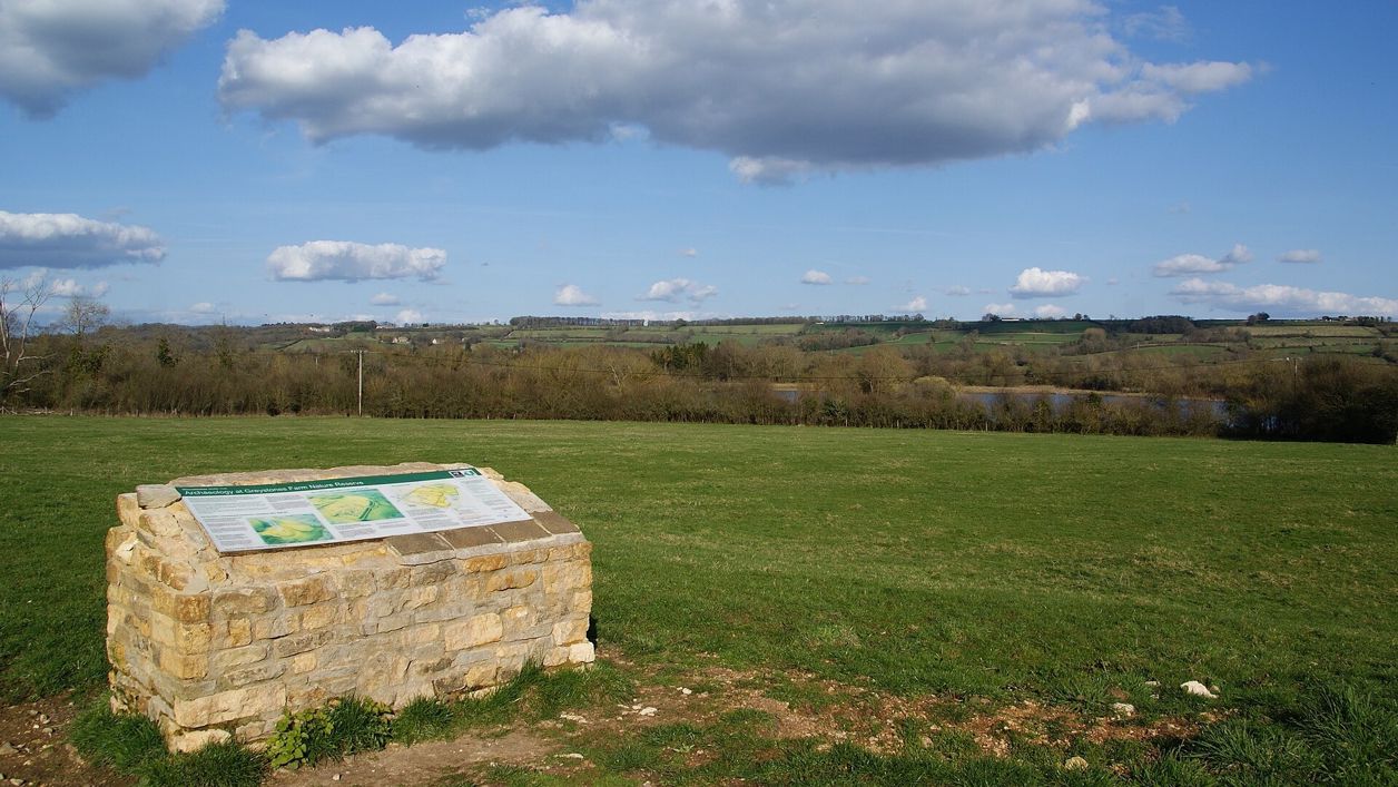
Bill Boaden, CC BY-SA 2.0, via Wikimedia Commons
Salmonsbury Camp
Salmonsbury Camp is an Iron Age fortified enclosure of about 23 hectares just east of Bourton-on-the-Water, its double banks still up to 2m high on three sides, with Roman and Saxon finds and a charter of AD 779. A scheduled monument on Greystones Farm reserve.
Hill fort or barrow
Bourton-on-the-WaterSalmonsbury Camp is an Iron Age fortified enclosure in the fields immediately east of Bourton-on-the-Water, on a gravel terrace between the Rivers Dikler and Windrush. It covers about 23 hectares inside a double bank and ditch that still stand up to 2m high on three sides. It is a scheduled monument, on Gloucestershire Wildlife Trust's Greystones Farm reserve.
History
Large Iron Age forts with more than one line of defence are rare, with around 50 recorded nationally, and the scheduling says Salmonsbury survives well, with evidence of settlement from the Late Neolithic or Early Bronze Age to the end of the Roman period.
Before the camp
People were here long before the banks went up. Excavation turned up a Palaeolithic axe, flint flakes and arrowheads, and Late Neolithic or Early Bronze Age pottery, and the Wildlife Trust describes the site as a Neolithic as well as an Iron Age meeting place.
The Iron Age enclosure
G. C. Dunning excavated the camp between 1931 and 1934 and found two Iron Age phases: an open settlement of the later first century BC, and then the defended enclosure, built in the first half of the first century AD. Inside were round houses, rubbish pits, pottery and metalwork, and in 1860 a hoard of 147 iron currency bars, an early form of money, was found here. The scheduling notes the suggestion that the camp was a market centre for the area, and the Roman small town at Bourton Bridge lies just over 1km to the west.
Romans, Saxons and the hundred court
People went on living inside the defences in Roman times, from the later first century to the early fourth, when the eastern banks may have been cut down for farming. No Anglo-Saxon settlement has been found inside, but burials were dug into the ramparts and two small cemeteries lie outside. A charter of Offa, king of Mercia, of AD 779 names the place Sulmonnes Burg, and through the Middle Ages the court of Salmonsbury hundred met at its north entrance.
What to look for
The defences are the thing to see. The enclosure is rectangular, with two banks, each with a ditch outside it. On the north, east and south they survive as earthworks up to about 2m high; on the west, towards the village, building has hidden them. An annexe of about 6 hectares runs east from the north-east and south-east corners towards the Dikler, round a marshy hollow.
Of the two original gateways, the one in the middle of the north side can still be seen; the other, in the middle of the west side, is built over. Look along the banks in low winter or evening light, when their line shows best. The replica Iron Age roundhouse on the reserve gives an idea of the houses that stood inside.
Visiting
The camp is on the Greystones Farm reserve, which the Trust describes as access land, free and open all year; keep to the marked paths, and remember that houses, Greystones Farm's buildings and the modern cemetery inside the old line are private or excluded. Dogs go on a lead, and on a short lead from 1 March to 31 July. The path from the farmyard to the roundhouse suits wheelchairs and pushchairs; the paths over the banks are grassy and can be wet, and the Trust closes the meadows walk in autumn and winter.
Getting there
There is no car park at the reserve, so park in Bourton, at Station Road (GL54 2AA) or the council's Rissington Road car park (GL54 2BN), and walk along Greystones Lane. The Pulhams 801 bus stops in the village.
On foot, Bourton, Salmonsbury and the lakes, a flat 2-mile loop from the High Street, crosses the camp on paths through the reserve, and Bourton-on-the-Water and Wyck Rissington goes through the reserve beside it in its first mile. The Oxfordshire Way long-distance path also crosses the reserve.
Nearby
The rest of Greystones Farm, with its meadows and rivers, is all around. Back in the village, the war memorial is about 800m west, and the Old New Inn, the Croft and the Willow are the nearest places to eat. For another earthwork near by, the castle mound at Upper Slaughter is a medieval one.
Walks past Salmonsbury Camp
-
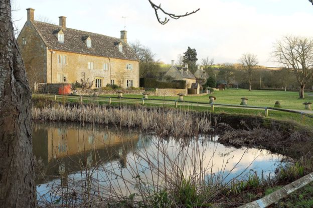
Bourton-on-the-Water and Wyck Rissington
Walk · Starts in Bourton-on-the-Water · 2 hrs · Circular
A 4-mile (7km) circular walk from the war memorial in Bourton-on-the-Water, about two hours, easy and without stiles but muddy at times. It passes a roundhouse on Greystones Farm, crosses the Eye and the Dikler to Wyck Rissington's church, and returns by Rissington Mill.
-
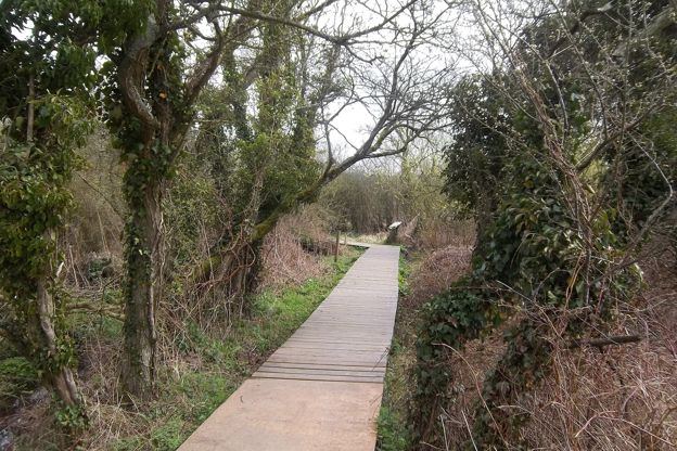
Bourton, Salmonsbury and the lakes
Walk · Starts in Bourton-on-the-Water · 45 mins · Circular · Dog-friendly
A 2-mile (3.1km) circular walk from the middle of Bourton-on-the-Water, flat and easy, in 45 minutes to an hour. It goes out along Rissington Road and back through Greystones Farm reserve, past a replica roundhouse and the banks of Salmonsbury Camp, and is often wet underfoot.
-
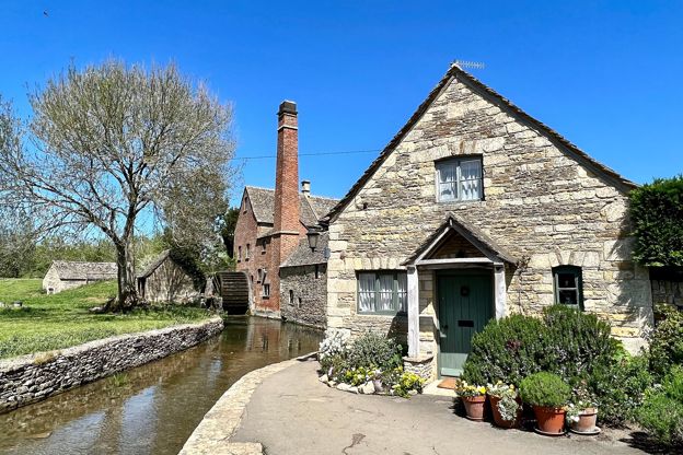
Bourton, Upper Slaughter and Lower Slaughter
Walk · Starts in Bourton-on-the-Water · 2 hrs, 15 mins · Circular
A 6-mile (9.7km) circular walk from Rissington Road in Bourton-on-the-Water, two to two and a half hours of moderate walking with a few stiles. It heads west on bridleways, up a quiet lane to Upper Slaughter, and down the River Eye to Lower Slaughter's mill.
Stay and eat near Salmonsbury Camp
-
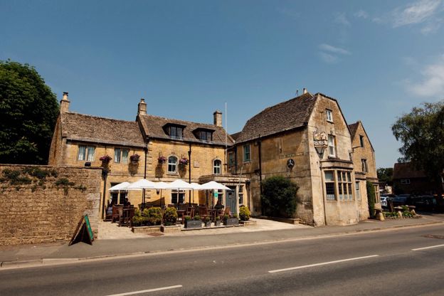
The Old New Inn
Pubs · Bourton-on-the-Water
A Grade II listed eighteenth-century inn in Bourton-on-the-Water with nine rooms, classic British food, a beer garden and the Model Village in its grounds.
Dog-friendly
Verified Nov 2026
-
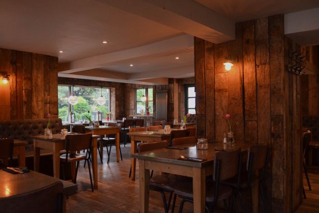
The Croft
Cafes and tearooms · Bourton-on-the-Water
A café and restaurant on Riverside in Bourton-on-the-Water, by the Windrush, serving breakfast, lunch and afternoon tea daily and dinner on Fridays and Saturdays.
Dog-friendly · Family-friendly
Verified Nov 2026
-
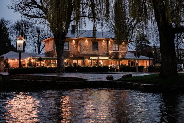
The Willow
Pubs · Bourton-on-the-Water
A Fuller's pub on the High Street in Bourton-on-the-Water, open from 10am, with a garden and outside seating, food all day, and dogs and families welcome.
Dog-friendly · Family-friendly
Verified Oct 2026
More sights to see
-
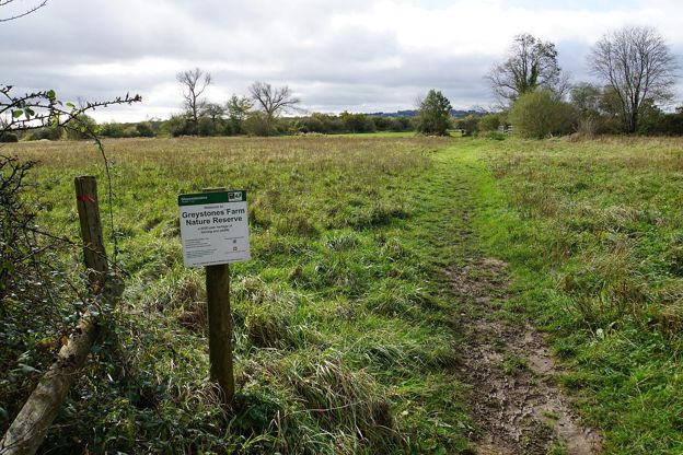
Greystones Farm nature reserve
Sight · Nature reserve · Bourton-on-the-Water
Greystones Farm is Gloucestershire Wildlife Trust's 66-hectare farm reserve on the edge of Bourton-on-the-Water: flower-rich meadows that are an SSSI, the Dikler and the Eye, a replica roundhouse and the banks of Salmonsbury Camp. Free and open all year.
-
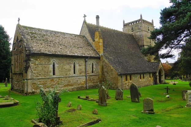
St Laurence's Church, Wyck Rissington
Sight · Church · Bourton-on-the-Water
St Laurence's is the Grade I church of Wyck Rissington near Bourton-on-the-Water, consecrated in 1269, where the young Gustav Holst was organist in 1892 and 1893. It keeps a Norman corbel table, diamond-shaped lights and a mosaic of a rector's lost maze. Open daily in daylight.
-
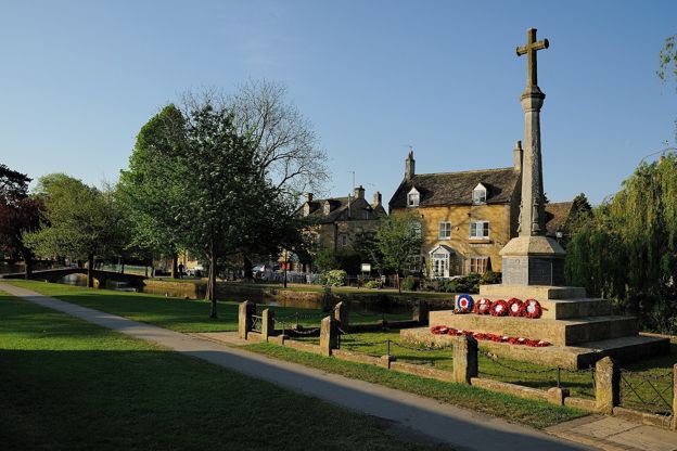
Bourton-on-the-Water war memorial
Sight · Monument · Bourton-on-the-Water
Bourton-on-the-Water's war memorial is a tall stone cross of 1920 on the green beside the Windrush, raised by the village for its 27 men who died in the First World War, with 12 names added after the Second. Listed Grade II; open at all times.