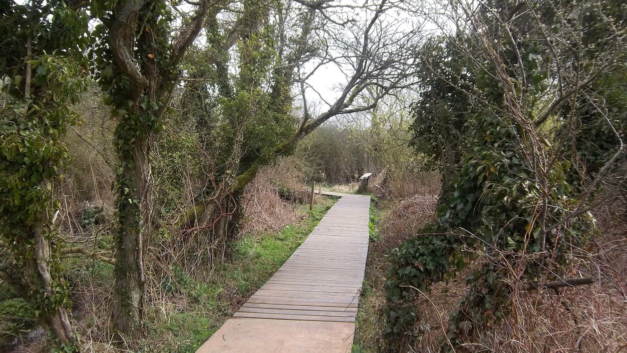
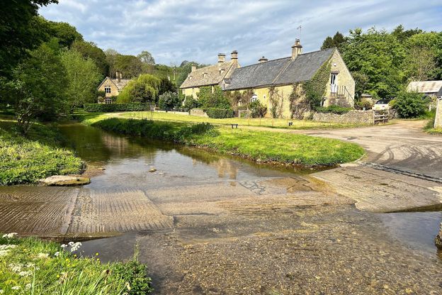
Michael Dibb, CC BY-SA 2.0, via Wikimedia Commons
Bourton, Salmonsbury and the lakes
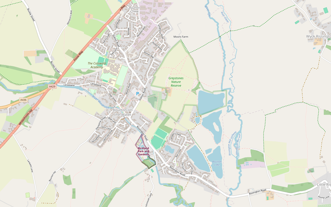
A 2-mile (3.1km) circular walk from the middle of Bourton-on-the-Water, flat and easy, in 45 minutes to an hour. It goes out along Rissington Road and back through Greystones Farm reserve, past a replica roundhouse and the banks of Salmonsbury Camp, and is often wet underfoot.
- Distance
- 3.1 km (1.9 mi)
- Difficulty
- Easy
- Time
- 45 mins
- Ascent
- 13 m
- Circular
- Circular
The route
Starts at The High Street by the River Windrush, Bourton-on-the-Water Muddy in winterLivestock in fieldsRoad walking Download GPX
Step by step
-
Step 1: Out along Rissington Road
From the High Street by the river, walk to Rissington Road and follow its pavement south-east past Birdland and out of the village, beyond the tennis courts and playing fields. Where a public footpath leaves the road on the left, take it along a field track.
-
Step 2: North through the reserve
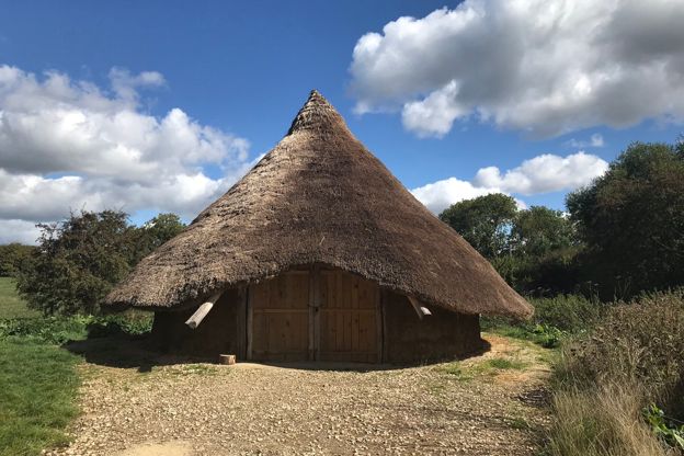
The path bends north along the eastern side of the reserve, a field path with lakes to the east. Follow it north past the replica Iron Age roundhouse to the far corner of the loop. Walkers have found a locked gate on this side; if you meet it, a path about 40m to its left rejoins the route about 100m further on.
- Muddy in winter
- Dogs on lead
-
Step 3: Through Greystones Farm
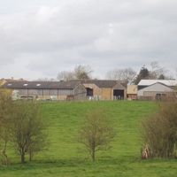
Turn back south-west across the reserve, past the site of Salmonsbury Camp, to the buildings of Greystones Farm. Follow Greystones Lane west to Station Road.
- Muddy in winter
-
Step 4: Back into Bourton
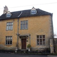
Turn left down Station Road and walk south back into the middle of the village to the High Street and the river.
- Café
Sights on the way
The sights this walk passes, numbered as on the map.
-
Narrow Bridge, Bourton-on-the-Water
Sight · Bridge · Bourton-on-the-Water
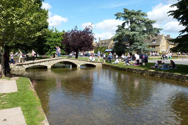
Narrow Bridge is the oldest dated of the low stone footbridges over the Windrush in Bourton-on-the-Water, built in 1756 with three rusticated arches and low parapets. Listed Grade II with three of its neighbours, it is crossed free at any time.
-
Salmonsbury Camp
Sight · Hill fort or barrow · Bourton-on-the-Water
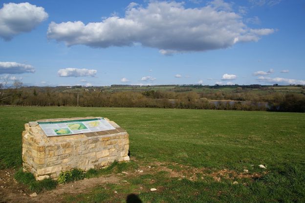
Salmonsbury Camp is an Iron Age fortified enclosure of about 23 hectares just east of Bourton-on-the-Water, its double banks still up to 2m high on three sides, with Roman and Saxon finds and a charter of AD 779. A scheduled monument on Greystones Farm reserve.
-
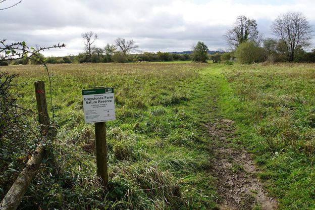
Greystones Farm nature reserve
Sight · Nature reserve · Bourton-on-the-Water
Greystones Farm is Gloucestershire Wildlife Trust's 66-hectare farm reserve on the edge of Bourton-on-the-Water: flower-rich meadows that are an SSSI, the Dikler and the Eye, a replica roundhouse and the banks of Salmonsbury Camp. Free and open all year.
The walk in detail
The Bourton, Salmonsbury and the lakes walk is a 2-mile (3.1km) circular route from the High Street by the Windrush in Bourton-on-the-Water. It is flat and easy, with 13m of rise and fall, and takes 45 minutes to an hour. The highlight is Salmonsbury Camp on Greystones Farm nature reserve, and the Old New Inn is back at the start.
Much of it is on paths through Gloucestershire Wildlife Trust's Greystones Farm reserve, and the rest is on pavements and lanes, so it is the walk to take when you want an hour away from the crowds by the river without driving anywhere.
Salmonsbury Camp
Salmonsbury Camp is an Iron Age enclosure of about 23 hectares between the River Dikler and the Windrush, and the walk crosses it. It is a scheduled monument, and the Wildlife Trust describes it as a meeting place in the Neolithic as well as the Iron Age. One walker describes seeing its ditches from the path, and a replica Iron Age roundhouse stands near the farmyard.
The Wildlife Trust says the reserve is open all year, a 5-minute walk from the village, with level or grassy trails and no stiles; the path from the farmyard to the roundhouse suits wheelchairs and pushchairs. It closes its meadows walk in the wetter months, autumn and winter and sometimes early spring. It asks for dogs on a lead all year, and on a short lead (2m or less) from 1 March to 31 July, when birds nest on the ground.
What walkers report
Mud is the thing nearly every reviewer mentions. Walkers describe the paths as boggy in November, mostly waterlogged one February and muddy enough for wellies; in a dry summer they are easy going, though some paths grow over and the waymarks are patchy. Cattle graze some of the fields, and dog owners report keeping dogs on a lead through them, or taking another way when cows were in the field.
In October 2026 a walker found a gate on the route locked and impassable, and picked up a path about 40m to the left that rejoined the line about 100m on; another reported a locked section midway in 2024, and one in 2026 found the way gated. Phone signal is poor, so download the map before you go. One walker put the loop at about half on pavement, most of it along Rissington Road and Station Road.
Bourton at its busiest
Bourton is at its busiest by the river in the middle of the day, and this loop leaves that behind within a few minutes. The county council puts the village's visitors at about 10,000 a day at its busiest, crowding the river and its low bridges: Narrow Bridge on the High Street, dated 1756, Payne's Bridge, rebuilt in 1776, and the Victoria Street bridge of 1911. By tradition the village football club plays a match in the river on the August bank holiday Monday, though we found no notice of it for 2026, so check locally.

The Cotswolds Info newsletter
Events, new places and the best of the season, about once a month. Unsubscribe at any time.
Before and after
The loop starts and ends among Bourton's cafés and pubs by the river, so food is easy before or after. The Croft on the riverside serves breakfast, lunch and afternoon tea, and the Old New Inn, a Grade II listed eighteenth-century inn, serves food and has a beer garden.
The Model Village behind the inn is a one-ninth scale Bourton of the 1930s, built by the inn's landlord in 1936; it takes cards only, and only assistance dogs go in. Birdland is on Rissington Road, which the loop passes early on; when we checked in October 2026 it opened daily from 10am to 4pm, with last entry at 3pm, and dogs go in on a short lead. The Dragonfly Maze, a yew hedge maze designed by Kit Williams, is on Rissington Road too. Our guides to the Cotswolds with a dog and the Cotswolds with children have more on both.
Parking and getting there
The district council's Rissington Road car park, GL54 2BN, is the place to park, because the loop sets out along that road. It has 192 bays and is free before 10am and charged from 10am to 8pm, by card or PayByPhone only; Blue Badge holders park free for up to 10 hours, and the public toilets (50p) are there too. Walkers report the village busy and parking hard to find on fine days. The 801 bus links Bourton with Moreton-in-Marsh station every day, about half an hour each way. For a night or two, see our page on places to stay in Bourton-on-the-Water.
Longer walks from Bourton
Three longer walks share some of this ground. Our walk to Wyck Rissington starts through Greystones Farm and goes on east, and the long loop from Bourton to Stow crosses the reserve too. West of the village, Bourton, Upper Slaughter and Lower Slaughter is a 6-mile circuit of the two villages.
Places on the way
-
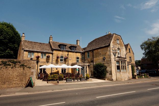
The Old New Inn
Pubs · Bourton-on-the-Water
A Grade II listed eighteenth-century inn in Bourton-on-the-Water with nine rooms, classic British food, a beer garden and the Model Village in its grounds.
Dog-friendly
Verified Nov 2026
-
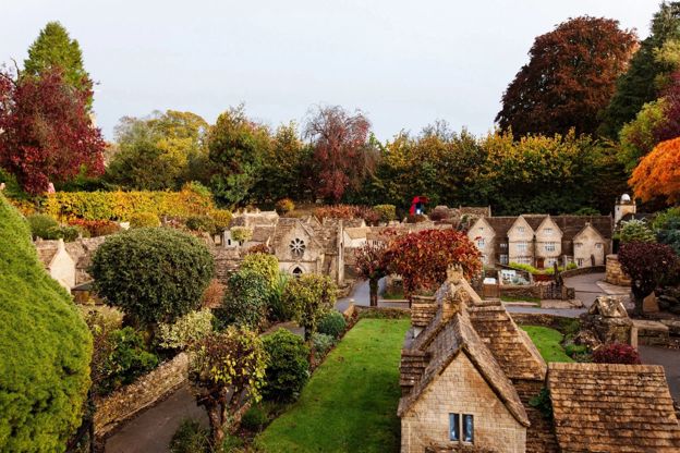
The Model Village, Bourton-on-the-Water
Family days out · Bourton-on-the-Water
A one-ninth scale model of Bourton-on-the-Water as it was in the 1930s, itself listed Grade II, in the garden of the Old New Inn.
Family-friendly
Verified Oct 2026
-

Birdland Park and Gardens
Wildlife and nature · Bourton-on-the-Water
A bird park on the Windrush at Bourton-on-the-Water since 1957, with what it calls England's only breeding King Penguins, flamingos, pelicans and a nature reserve.
Family-friendly · Dog-friendly · Car-free
Verified Oct 2026
-
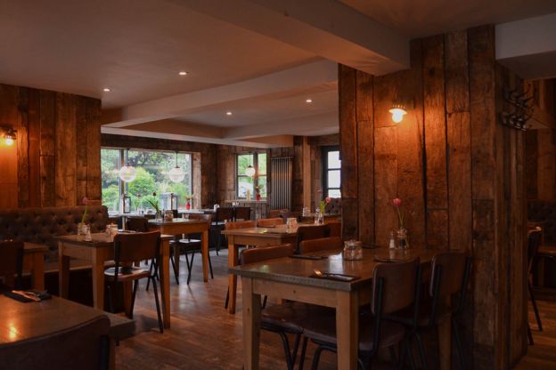
The Croft
Cafes and tearooms · Bourton-on-the-Water
A café and restaurant on Riverside in Bourton-on-the-Water, by the Windrush, serving breakfast, lunch and afternoon tea daily and dinner on Fridays and Saturdays.
Dog-friendly · Family-friendly
Verified Nov 2026
-
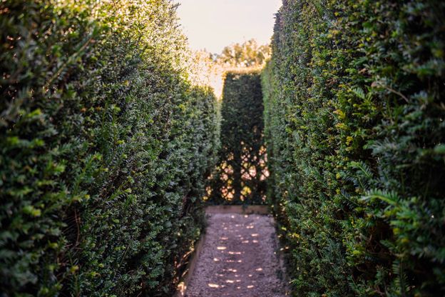
The Dragonfly Maze
Family days out · Bourton-on-the-Water
A yew hedge maze on Rissington Road in Bourton-on-the-Water, with 14 clues to a rebus and a golden dragonfly at the centre designed by Kit Williams.
Family-friendly · Dog-friendly
Verified Nov 2026
Stay near the start
Inns, cottages and hotels within a short drive of where the walk begins, so you can set off early.
Where to stay in Bourton-on-the-Water-
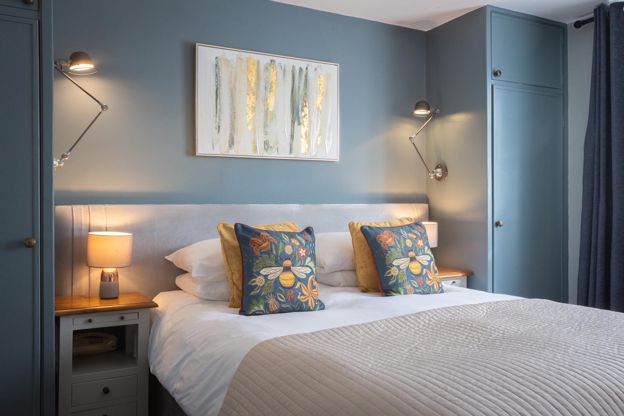
Chester House Hotel
Hotel · Bourton-on-the-Water
A family-owned hotel with 22 rooms on Victoria Street, Bourton-on-the-Water, with L'Anatra Italian Kitchen, a walled garden, a car park and rooms for small dogs.
Dog-friendly
Verified Nov 2026
-
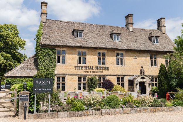
The Dial House
Hotel · Bourton-on-the-Water
A hotel with 13 rooms on Bourton-on-the-Water's High Street, five of them designed by Laurence Llewelyn-Bowen, with a restaurant, a garden and parking for guests.
Verified Nov 2026
-
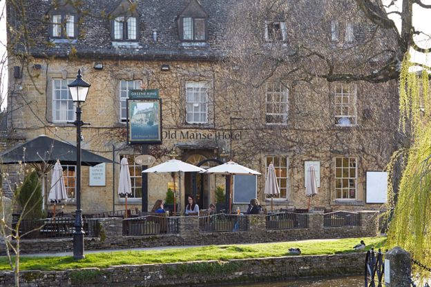
Old Manse Hotel
Inn · Bourton-on-the-Water
A Cotswold-stone inn of 1748 on Victoria Street, Bourton-on-the-Water, with 15 rooms, three of them for dogs, and pub food all day, run by Greene King Inns.
Dog-friendly
Verified Nov 2026
More like this
Stories on this walk
-
The Cotswolds in August
Story · Guides · 8 minute read
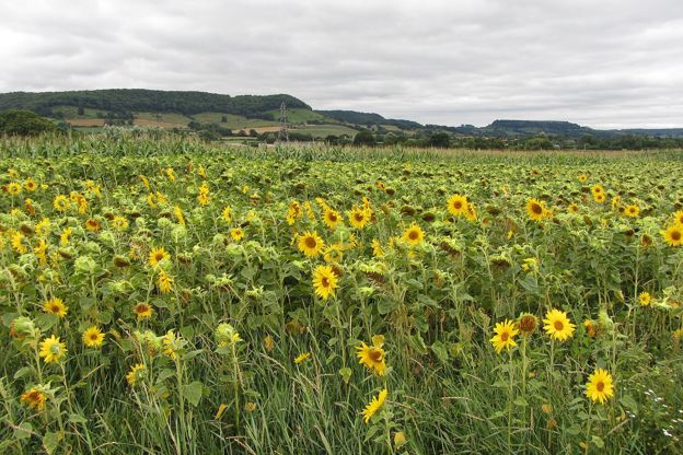
The Cotswolds in August: the busiest month in the famous villages, the football in the river at Bourton, Big Feastival, sunflowers and pick-your-own, the last weeks of the summer-only houses, quiet valley walks, and how to plan round the school holidays and the bank holiday.
More walks to try
-
Bourton-on-the-Water and Wyck Rissington
Walk · Starts in Bourton-on-the-Water · 2 hrs · Circular
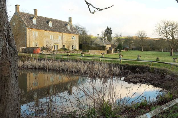
A 4-mile (7km) circular walk from the war memorial in Bourton-on-the-Water, about two hours, easy and without stiles but muddy at times. It passes a roundhouse on Greystones Farm, crosses the Eye and the Dikler to Wyck Rissington's church, and returns by Rissington Mill.
-
Bourton, Upper Slaughter and Lower Slaughter
Walk · Starts in Bourton-on-the-Water · 2 hrs, 15 mins · Circular
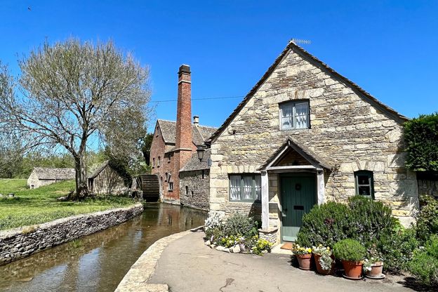
A 6-mile (9.7km) circular walk from Rissington Road in Bourton-on-the-Water, two to two and a half hours of moderate walking with a few stiles. It heads west on bridleways, up a quiet lane to Upper Slaughter, and down the River Eye to Lower Slaughter's mill.
-
Bourton-on-the-Water, the Slaughters and Naunton
Walk · Starts in Bourton-on-the-Water · 5 hrs · Circular
A 10-mile (16.4km) circular walk from Bourton-on-the-Water, four to five hours of moderate walking with stiles and steep slopes. It follows the Wardens' Way through Lower and Upper Slaughter to Naunton, then comes home down the Windrush valley on the Windrush Way.