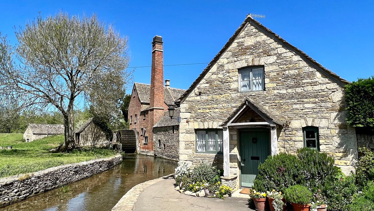
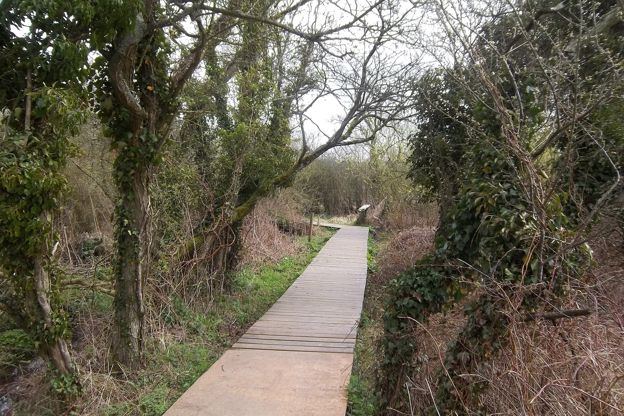
Andrew Abbott, CC BY-SA 2.0, via Wikimedia Commons
Bourton, Upper Slaughter and Lower Slaughter
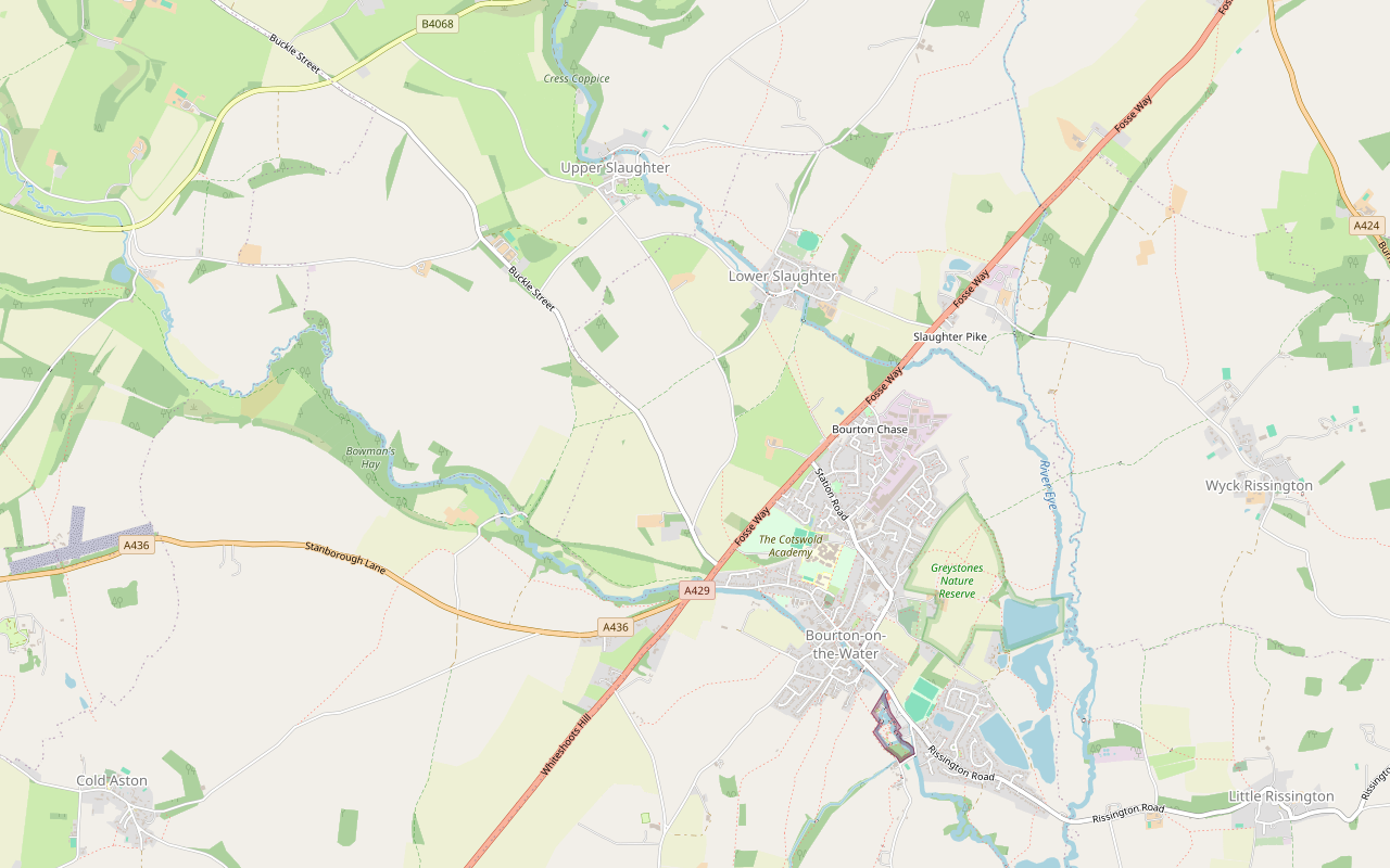
A 6-mile (9.7km) circular walk from Rissington Road in Bourton-on-the-Water, two to two and a half hours of moderate walking with a few stiles. It heads west on bridleways, up a quiet lane to Upper Slaughter, and down the River Eye to Lower Slaughter's mill.
- Distance
- 9.7 km (6.0 mi)
- Difficulty
- Moderate
- Time
- 2 hrs, 15 mins
- Ascent
- 93 m
- Circular
- Circular
The route
Starts at Rissington Road by Birdland, Bourton-on-the-Water follows the Wardens' Way for a while Muddy in winterRoad walkingStiles Download GPX
Step by step
-
Step 1: Through Bourton by the Windrush
From Rissington Road by Birdland, follow the paved paths beside the River Windrush north-west through the middle of Bourton, past the Model Village and the low stone bridges. Leave the river at Sherborne Street, follow the footway west to Lansdowne, and walk along Lansdowne to the Fosse Way. Cross the A429 with care; walkers name its crossings as the main hazard of the loop.
- Café
-
Step 2: West on the bridleways
Beyond the main road, a gravel bridleway heads west and soon crosses the line of the old Banbury and Cheltenham Direct Railway. The surface turns to earth as the bridleway runs on towards the Windrush, then swings north on a chain of bridleways across open farmland. Expect mud here after rain.
- Muddy in winter
-
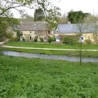
Step 3: Up the lane to Upper Slaughter
Where the bridleways meet a lane, turn north and follow it for about three-quarters of a mile (1.2km) into Upper Slaughter. It is a quiet lane with no pavement, so walk in single file and face the traffic. In the village, the road crosses the River Eye at a ford, with a footbridge for walkers, below St Peter's church.
-
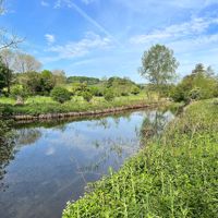
Step 4: Down the Eye to Lower Slaughter
From Upper Slaughter, take the footpath signed as the Wardens' Way south-east, about three-quarters of a mile (1.2km) through fields and gates beside the River Eye. It brings you into Lower Slaughter by the mill. Turn along Becky Hill, past the inns, and look for the bridleway heading south out of the village.
- Muddy in winter
-
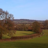
Step 5: South to Bourton
Follow the bridleway south across the fields, then a short stretch of paved lane, and the earth footpaths that carry on towards Bourton. Near the edge of the village you cross the Fosse Way and the line of the old railway again. From School Hill, walk down the High Street, cross Rissington Road and follow the paths back to Birdland. Walkers say the turn back into the village is easy to miss, so check the map here.
Sights on the way
The sights this walk passes, numbered as on the map.
-
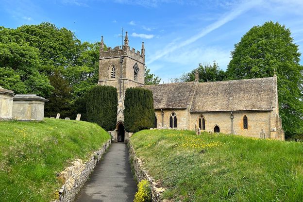
St Peter's Church, Upper Slaughter
Sight · Church · Upper Slaughter
Upper Slaughter's church, above the ford over the River Eye: a twelfth-century nave, a tower built from reused Norman stone, and the mortuary chapel of the diarist Francis Witts, rector here for 46 years. Grade II*; open every day.
-
Manor House, Upper Slaughter
Sight · Historic building · Upper Slaughter
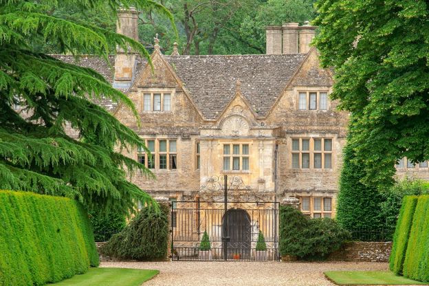
Upper Slaughter's Elizabethan manor house, Grade I, home of the Slaughter family until 1741: gabled Cotswold stone over a fifteenth-century vaulted basement, with a two-storey porch of the early seventeenth century covered in fretwork. A private house, seen from the lane.
-

Upper Slaughter castle mound
Sight · Castle or ruin · Upper Slaughter
The motte of a small Norman castle in the middle of Upper Slaughter, on a low hill in a bend of the River Eye below St Peter's church: a flat-topped mound about 22m across, its ditch and bailey still traceable. A scheduled monument, seen from the lanes.
-
The Old Mill, Lower Slaughter
Sight · Historic building · Lower Slaughter
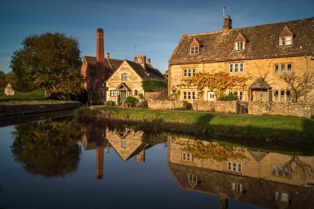
The red-brick mill with its tall chimney and iron water wheel at the top of Lower Slaughter, on the River Eye: early nineteenth century, on a site milled since at least 1502. Grade II. The museum and shop closed in 2023, when the mill was sold; check before visiting.
-
St Mary's Church, Lower Slaughter
Sight · Church · Lower Slaughter
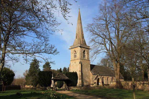
Lower Slaughter's church, almost entirely rebuilt in 1867 for the Whitmore family, lords of the manor, but keeping a north arcade of around 1200, with a broad spire behind a pierced parapet. Grade II*; open, with a ramp.
-
St Lawrence's Church, Bourton-on-the-Water
Sight · Church · Bourton-on-the-Water
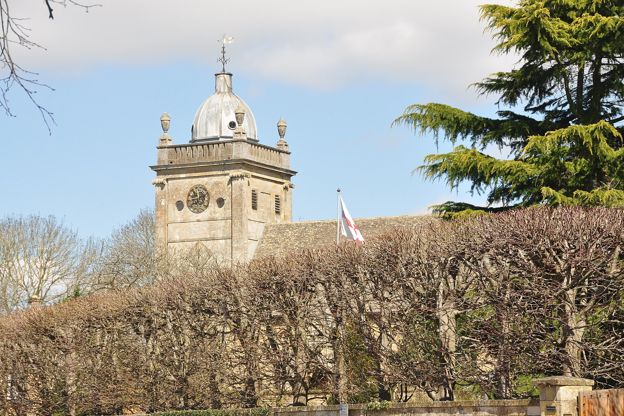
St Lawrence's is Bourton-on-the-Water's parish church on the High Street: a chancel of 1328, a Georgian tower of 1784 under a lead dome and a nave taken back to the Gothic style in 1891. Grade II*, open daily from about 10am to 4pm, step-free and dog friendly.
-
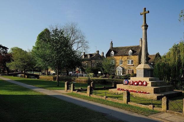
Bourton-on-the-Water war memorial
Sight · Monument · Bourton-on-the-Water
Bourton-on-the-Water's war memorial is a tall stone cross of 1920 on the green beside the Windrush, raised by the village for its 27 men who died in the First World War, with 12 names added after the Second. Listed Grade II; open at all times.
-
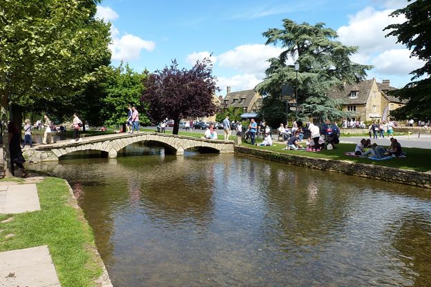
Narrow Bridge, Bourton-on-the-Water
Sight · Bridge · Bourton-on-the-Water
Narrow Bridge is the oldest dated of the low stone footbridges over the Windrush in Bourton-on-the-Water, built in 1756 with three rusticated arches and low parapets. Listed Grade II with three of its neighbours, it is crossed free at any time.
The walk in detail
The Bourton, Upper Slaughter and Lower Slaughter walk is a 6-mile (9.7km) circular route from Rissington Road in Bourton-on-the-Water. It is moderate, with 93m of climbing and a few stiles, and takes two to two and a half hours. The highlight is the River Eye between the two Slaughters, with the Slaughters Country Inn on the way back.
On AllTrails’ surface data, half of it is on earth paths and a quarter on tarmac, with three-quarters of a mile of quiet lane in the middle. It shares its last stretch with our longer walk from Bourton by the Slaughters to Naunton, but takes a wider line out to the west.
Bourton and the Windrush
The walk starts by Birdland on Rissington Road and follows the Windrush through the village. Bourton's bridges are listed: Narrow Bridge on the High Street dates from 1756, Payne's Bridge was rebuilt in 1776, and the Victoria Street bridge was built in 1911. The Model Village behind the Old New Inn is Bourton at one-ninth scale as it was in the 1930s, begun by the landlord in 1936 and opened in 1937. Birdland is beside the start.
Bourton takes about 10,000 visitors a day at its busiest, the county council says, and walkers on this loop report it crowded at times. Start early and the riverside is yours; by midday you will be sharing it.
The old railway and the lane
The first half of the walk is farmland west of the Fosse Way, with a lane up into Upper Slaughter. On the way the route twice crosses the line of the old railway, which reached Bourton from Kingham in 1862, was extended west to Cheltenham by the Banbury and Cheltenham Direct Railway in 1881 and closed in 1962; OpenStreetMap still traces it across the fields. From there the bridleways run out towards the Windrush and north across the open farmland, before a lane climbs gently into Upper Slaughter. Walkers find this the plainest part of the loop, and much of it has no shade on a hot day.
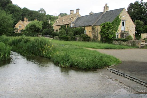
Upper Slaughter
Upper Slaughter has a church, a manor house and one hotel, and little else. It sits on a shoulder above the brook, with the castle mound on a bend of the stream and the church above it. St Peter's has a twelfth-century nave and a fourteenth-century tower, with the Witts mortuary chapel of 1854: Francis Edward Witts, rector from 1808 to 1854, wrote The Diary of a Cotswold Parson. The manor house is Grade I and private. The village is one of the doubly thankful villages, where everyone who served in both world wars came home.
The Witts family’s house of about 1649 has been Lords of the Manor, a hotel, since 1972. It has a restaurant and takes bookings for afternoon tea; the village has no pub, shop or café. When we checked we found no public car park and no public toilet in either Slaughter.
Lower Slaughter and its mill
The footpath from Upper to Lower Slaughter follows the River Eye and is part of the Wardens' Way, which runs from Bourton to Winchcombe. It reaches Lower Slaughter at the mill: early nineteenth century, of red brick and stone with a tall brick chimney and an iron wheel on its south gable, on a site where a mill was recorded in 1502. The museum and café there closed in 2023 when the family sold it, and a coffee kiosk at the entrance has opened from April to October since 2024. Walkers on this loop mention stopping there for coffee.
St Mary's was rebuilt in 1867 by Benjamin Ferrey but kept its medieval arcade. The manor house, built in 1656 by the mason Valentine Strong for Richard Whitmore, is now the Slaughters Manor House hotel, and the Slaughters Country Inn is on the walk as you leave. Lower Slaughter is one of the places our story on Cotswold film and TV locations visits.
The Cotswolds Info newsletter
Events, new places and the best of the season, about once a month. Unsubscribe at any time.
Food and drink
The only food on the way is in Lower Slaughter, late in the walk, so carry water. Between the edge of Bourton and Lower Slaughter there is nowhere to eat. The Slaughters Country Inn serves lunch from noon to 5pm and dinner from 6.30pm to 9pm every day. Back in Bourton, the Willow on the High Street is a pub with a garden that welcomes dogs, and the Croft by the river serves breakfast, lunch and afternoon tea, and dinner on Fridays and Saturdays, and welcomes well-behaved dogs. Hawkstone's brewery at College Farm, on the Fosse Way about 200m east of the path on the way back, has a taproom with food trucks on site.
What walkers report
Reviews through 2026 agree on the shape of the day: field paths and bridleways for the first half, then lanes and roads for part of the return. Walkers report mud on the bridleways after rain, nettles and long grass on some paths in summer, and a few stiles, one of which stopped a walker with a dog in a buggy. The Fosse Way crossings are the hazard most of them name, and the lane to Upper Slaughter has no pavement, though some found it quiet. There are no public toilets on the way, so use the ones at the Rissington Road car park (50p when we checked) before you set off. Our guide to the Cotswolds with a dog has more on walking with dogs here.
Parking and getting there
Park at the district council's car park on Rissington Road, GL54 2BN, close to the start. It is free before 10am, then charged until 8pm, £7.30 for five hours when we checked, by card or PayByPhone only; Blue Badge holders park free for up to 10 hours. Walkers report it busy, so come early. The 801 bus links Bourton with Moreton-in-Marsh station every day, about half an hour each way, which our guide to the Cotswolds without a car builds a day around. For hotels and inns, see places to stay in Bourton-on-the-Water.
Shorter and longer walks
Three more walks share this ground or this car park. For an hour's stroll, our walk from Lower to Upper Slaughter is the riverside stretch of this loop on its own, there and back. From the same car park, the Salmonsbury loop goes east past the Iron Age camp and the lakes, and Bourton and Wyck Rissington heads the other way.
Places on the way
-
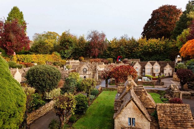
The Model Village, Bourton-on-the-Water
Family days out · Bourton-on-the-Water
A one-ninth scale model of Bourton-on-the-Water as it was in the 1930s, itself listed Grade II, in the garden of the Old New Inn.
Family-friendly
Verified Oct 2026
-

Birdland Park and Gardens
Wildlife and nature · Bourton-on-the-Water
A bird park on the Windrush at Bourton-on-the-Water since 1957, with what it calls England's only breeding King Penguins, flamingos, pelicans and a nature reserve.
Family-friendly · Dog-friendly · Car-free
Verified Oct 2026
-
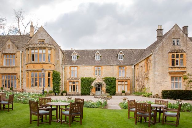
Lords of the Manor
Hotel · Upper Slaughter
A country house hotel with 25 bedrooms in eight acres of grounds in Upper Slaughter, in a house it dates to 1649, with dogs welcome.
Dog-friendly · EV charging · Wedding venues
Verified Oct 2026
-
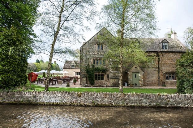
The Slaughters Country Inn
Inn · Lower Slaughter
An inn in Lower Slaughter, bought and renamed by the Brownsword family in 2011, with dog rooms and a Field Kitchen from April to September.
Dog-friendly · Family-friendly · Walker-friendly
Verified Oct 2026
-
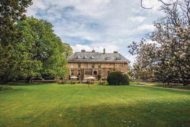
The Slaughters Manor House
Hotel · Lower Slaughter
A 17th-century manor house hotel with 19 bedrooms on Copsehill Road, Lower Slaughter, home of the Whitmore family until 1964, with dog rooms booked by phone.
Dog-friendly · Family-friendly · Wedding venues
Verified Oct 2026
-
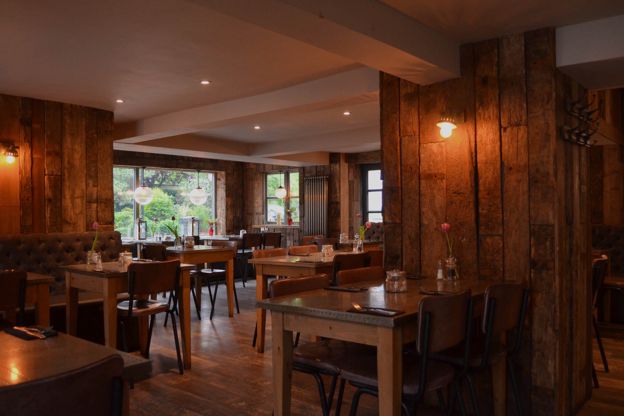
The Croft
Cafes and tearooms · Bourton-on-the-Water
A café and restaurant on Riverside in Bourton-on-the-Water, by the Windrush, serving breakfast, lunch and afternoon tea daily and dinner on Fridays and Saturdays.
Dog-friendly · Family-friendly
Verified Nov 2026
Stay near the start
Inns, cottages and hotels within a short drive of where the walk begins, so you can set off early.
Where to stay in Bourton-on-the-Water-
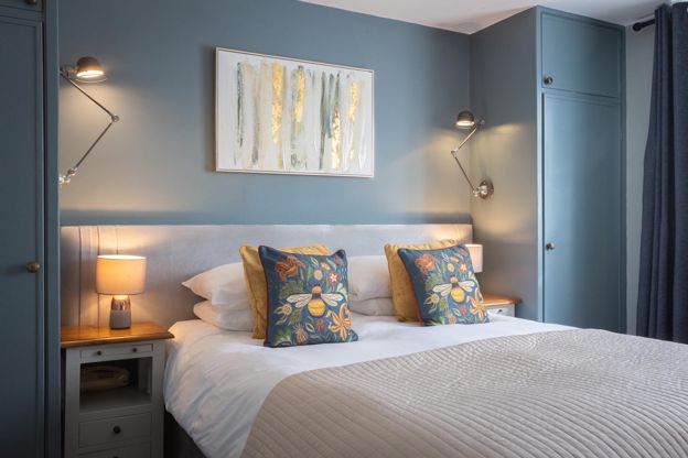
Chester House Hotel
Hotel · Bourton-on-the-Water
A family-owned hotel with 22 rooms on Victoria Street, Bourton-on-the-Water, with L'Anatra Italian Kitchen, a walled garden, a car park and rooms for small dogs.
Dog-friendly
Verified Nov 2026
-
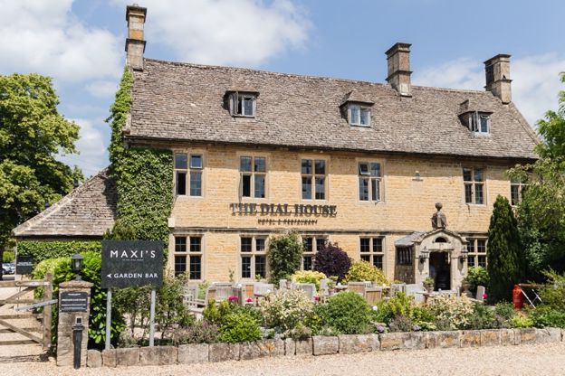
The Dial House
Hotel · Bourton-on-the-Water
A hotel with 13 rooms on Bourton-on-the-Water's High Street, five of them designed by Laurence Llewelyn-Bowen, with a restaurant, a garden and parking for guests.
Verified Nov 2026
-
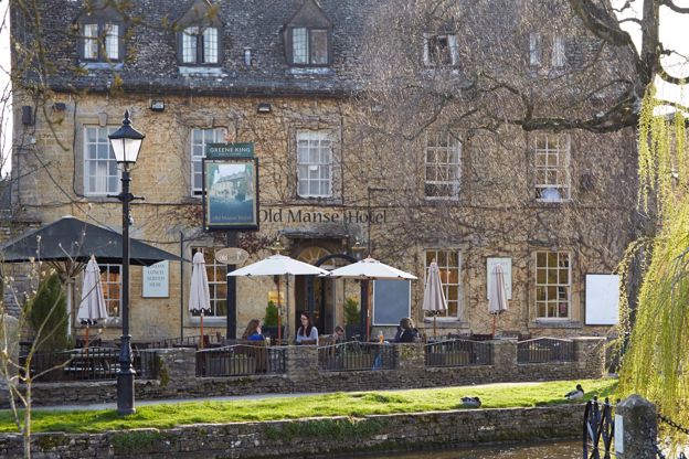
Old Manse Hotel
Inn · Bourton-on-the-Water
A Cotswold-stone inn of 1748 on Victoria Street, Bourton-on-the-Water, with 15 rooms, three of them for dogs, and pub food all day, run by Greene King Inns.
Dog-friendly
Verified Nov 2026
More like this
Stories on this walk
-
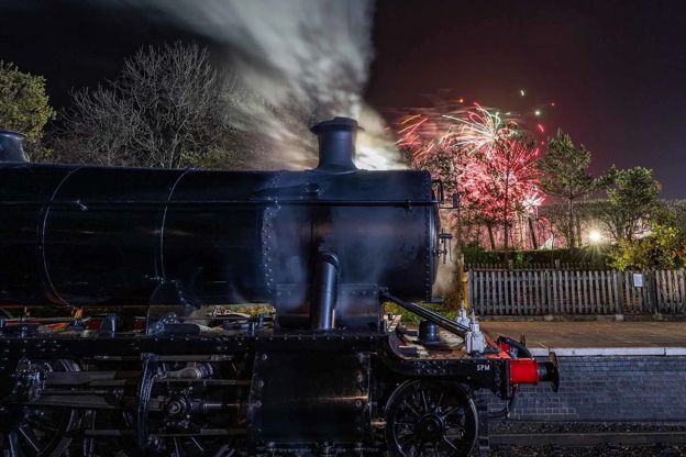
Christmas in the Cotswolds
Story · Guides · 10 minute read
Christmas in the Cotswolds: Blenheim's and Sudeley's light trails, Christmas markets at Cogges and Stroud, steam trains to Broadway's late-night shopping, candlelit carols, Boxing Day mummers, winter walks and inns with fires.
-
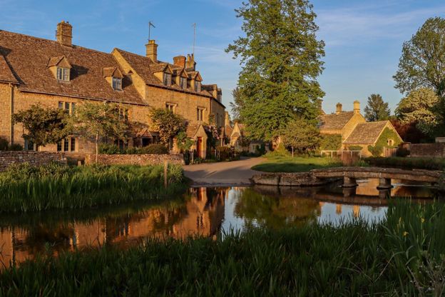
Cotswolds itineraries: one day to a week
Story · Guides · 12 minute read
Cotswolds itineraries from one day to a week: how many days you need, a day by car or by train, two days in the north, three days north to south, five days across two regions, a week with two bases or on the Cotswold Way, and themed weekends for gardens, walks, dogs and winter.
-
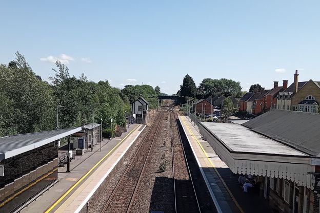
Day trips from London to the Cotswolds
Story · Guides · 10 minute read
How to do the Cotswolds as a day trip from London: by train from Paddington to Moreton-in-Marsh for Stow and Bourton, to Kingham for the Evenlode villages, to Kemble for Cirencester and Bibury or to Bath for Lacock, with worked plans, the car and parking, and tours compared.
More walks to try
-
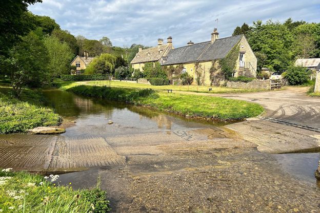
Bourton-on-the-Water, the Slaughters and Naunton
Walk · Starts in Bourton-on-the-Water · 5 hrs · Circular
A 10-mile (16.4km) circular walk from Bourton-on-the-Water, four to five hours of moderate walking with stiles and steep slopes. It follows the Wardens' Way through Lower and Upper Slaughter to Naunton, then comes home down the Windrush valley on the Windrush Way.
-
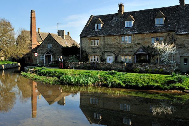
Lower Slaughter to Upper Slaughter
Walk · Starts in Lower Slaughter · 45 mins · Circular · Dog-friendly
A 2-mile (3.1km) there-and-back from Lower Slaughter, easy and almost level, in 45 minutes to an hour: on the Wardens' Way from Lower Slaughter's mill up the River Eye through riverside fields to Upper Slaughter's ford, church and manor, and back the same way.
-
Bourton, Salmonsbury and the lakes
Walk · Starts in Bourton-on-the-Water · 45 mins · Circular · Dog-friendly
A 2-mile (3.1km) circular walk from the middle of Bourton-on-the-Water, flat and easy, in 45 minutes to an hour. It goes out along Rissington Road and back through Greystones Farm reserve, past a replica roundhouse and the banks of Salmonsbury Camp, and is often wet underfoot.