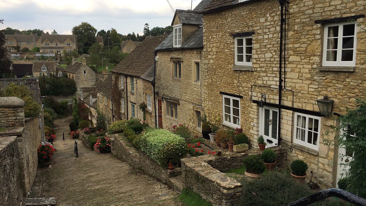
don cload, CC BY-SA 2.0, via Wikimedia Commons
Tetbury and Ashley
A 6.5-mile (10.5km) moderate circular walk of about three hours from Tetbury's Goods Shed, with stiles: along the old railway line, over the fields to Ashley and its Norman church, and back on the Monarch's Way past a brick pillbox, walking towards the town's spire.
- Distance
- 10.5 km (6.5 mi)
- Difficulty
- Moderate
- Time
- 3 hrs
- Circular
- Circular
The route
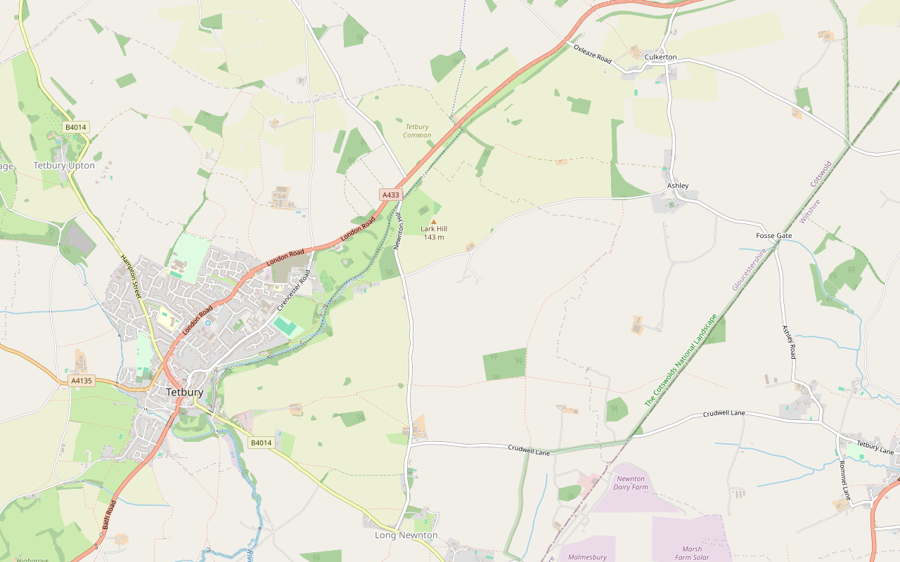
Starts at The Goods Shed car park, bottom of Chipping Street, Tetbury follows the Monarch's Way for a while Stiles Download GPX
Step by step
-
Step 1: The old railway line
From the car park by the Goods Shed at the bottom of Chipping Street, take the path along the old railway line from the far end of the car park, away from the Shed. Stay on it, going straight through any stiles or gates. After about 30 minutes, with traffic growing louder on your left, the path rises left to a gate; go through and over the road, Newnton Hill, then bear slightly right down a cinder track towards the trees to carry on in the same direction. After about 15 minutes more, with the main road close on your left again, a gate bars the way ahead.
-
Step 2: Over the fields to Ashley
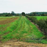
Turn right over a stile into a field and follow the slope uphill with the trees on your left. Go into the next field with the hedge on your left, and just before its end go through a gap on the left, so the hedge is on your right and a barn comes into view. After the barn the track improves; follow it for half a mile beside a line of young trees on your left, with Cotswold Airport ahead at eleven o'clock. Go through a gate and on to a road, and turn right into Ashley, past a duck pond. A short way on, turn right along the lane signposted Long Newnton and Tetbury; for the church, carry on into the village first and come back to this junction.
- Stiles
-
Step 3: The Monarch's Way
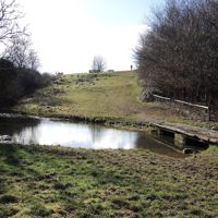
Pass a house and pond on your left and continue to a gate on the left signposted as a public footpath and the Monarch's Way. Cross two fields with the hedge close on your left, go through a gap in the wall and follow a broad path through the middle of a third field towards a line of trees. Where the path bends right, go straight ahead through a gap in the trees, bear a little left and, with the hedge on your left, walk towards a wood. Turn left between the hedge and the wood into another field, and keep the wood on your right through another gap into a further field. At the corner of the wood is a crossroads: turn right, keeping the wood on your right. Where the wood gives way to a hedge and the hedge ends, go into the next field, past a brick pillbox on your left, and follow the track with the hedge on your left to a gate and a road.
- Stiles
-
Step 4: Back to Tetbury
Go through the gate and across the road, bearing left to a kissing gate in the hedge signposted Monarch's Way. Keep the hedge on your right, and when it ends carry on along the same line round the corner of the field to a stile in the hedge. Over the stile, cross the middle of the next field to its bottom right corner, aiming at the spire of St Mary the Virgin. Go through a gate and across the field to the farm, between the farm buildings and onto a concrete track. Stay on the concrete to its end, where a stone stile and kissing gate on your right lead onto another track. Follow it down some steps to the B4014, turn right along the pavement to the signpost for the Tetbury Trail, and turn right along the trail back to the Goods Shed and the car park.
- Stiles
Sights on the way
The sights this walk passes, numbered as on the map.
-

St James's Church, Ashley
Sight · Church · Tetbury
The small Norman parish church of Ashley, a village north-east of Tetbury, with a south doorway carved in dogtooth and horseshoe patterns, an Early English arcade and fine eighteenth-century wall tablets. Grade II*; on the Tetbury and Ashley walk.
The walk in detail
The Tetbury and Ashley walk is a 6.5-mile (10.5km) circular walk from the Goods Shed car park in Tetbury, out along the old railway line to the village of Ashley and back on the Monarch's Way. It is moderate, with stiles, and takes about three hours. The Trouble House pub is just off the route on the way out.
It is one of the Cotswolds National Landscape's Cotswold Gateway walks, and on the way back Tetbury's spire gives you something to aim at near the end. The leaflet allows three hours; the route page says three to three and a half, on unsurfaced paths needing basic fitness.
The old railway
The first 45 minutes or so follow the old railway line north-east out of Tetbury, the Tetbury Trail you come back on at the end. The Tetbury Rail Lands Trust looks after it, and in July 2025 it began laying crushed limestone on the earthy stretch from Preston Park to Newnton Hill, which used to turn to thick mud when wet. The leaflet says it has a good all-weather surface for some distance, and it runs along a sheltered, tree-lined valley; the leaflet's only instruction is to stay on it, straight through any stiles or gates. After about half an hour it climbs to cross the road at Newnton Hill and carries on as a cinder track beside the main road.
Where a gate finally bars the line, near the A433, you turn off over a stile and into the fields. The path climbs gently past a barn and along a farm track lined with young trees, with Cotswold Airport in view ahead.
Ashley and St James
Ashley's church of St James, listed Grade II*, is a short detour along the lane into the village, and the leaflet suggests it. It is a Norman foundation, with a south aisle rebuilt in about 1200 and the chancel rebuilt in 1848. The Norman south doorway has dogtooth and horseshoe patterns cut into its lintel and tympanum, and the upper stage of the tower is fifteenth century, with gargoyles. Inside are an Early English arcade of three bays and several fine stone tablets, mostly of the eighteenth century.
Ashley Manor, also Grade II*, probably has a fifteenth-century core, enlarged in the early seventeenth century, with a great chimney stack carrying a plaque dated 1712.
The Monarch's Way and the spire
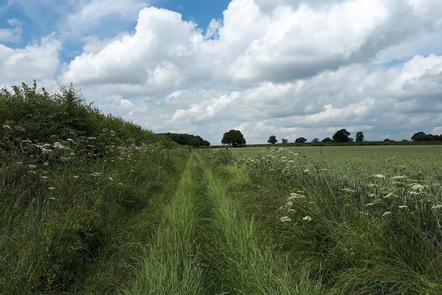
The way back follows the Monarch's Way, the long-distance path, all the way from the lane west of Ashley to Tetbury. It is field-edge walking, along hedges and the side of a wood, past a brick pillbox on the left, then across a road and over a stile into the field where the spire of St Mary the Virgin lines up ahead. The last part goes between the buildings of a farm, along a concrete track and down steps to the B4014.
The church you have been aiming at is listed Grade I. It was built in 1781 by Francis Hiorn of Warwick as a large Gothic Revival hall church with box pews, on the site of the medieval church, and its medieval tower was rebuilt in 1890 and 1891.
The Cotswolds Info newsletter
Events, new places and the best of the season, about once a month. Unsubscribe at any time.
Food and drink
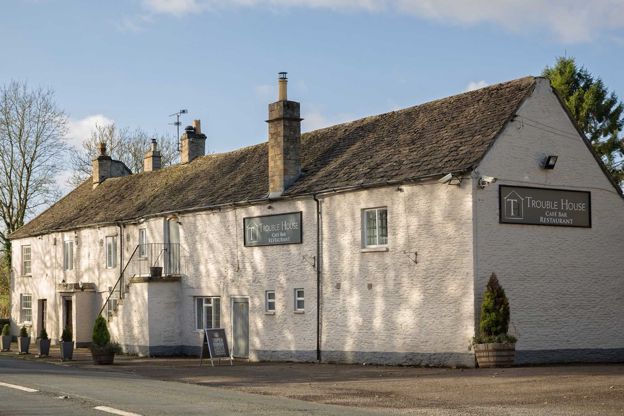
The only pub on the way is the Trouble House; the rest are in Tetbury, which has several hotels, pubs and cafés. Out on the walk, where you leave the railway path, the Trouble House stands on the London Road just off the route: a family and dog-friendly bar, restaurant and B&B that says it has served since 1754. Check its hours, as it closes on Mondays and Tuesdays.
On the Market Place, the Snooty Fox is a hotel, restaurant and bar that welcomes dogs; the Royal Oak on Cirencester Road is a late eighteenth-century free house with rooms, restored and reopened in 2013; the Priory Inn on London Road is an Arkell's pub; and the Gilbertine Kitchen on Long Street serves breakfast and lunch from Wednesday to Sunday. For a night or two, see our places to stay in Tetbury.
Parking, buses and toilets
The walk starts from the Old Railway Yard car park (GL8 8EY), which is free and has 72 spaces. From Cirencester, turn left before the town at the sign for the industrial estate and follow the road downhill for half a mile; from the town centre, take Chipping Lane downhill opposite the Market House and turn right. The council's public toilets are in West Street car park (50p, with disabled facilities); the route page calls it Warn's Court car park.
Buses come from Gloucester, Cirencester and Kemble station on the Stagecoach 882, about five times a day Monday to Saturday, and from Stroud and Bath on the Stagecoach 620, about six or seven times a day Monday to Saturday. There are no Sunday buses.
Stiles, gates, roads and dogs
There are stiles all round, including a stone stile near the end, as well as gates, gaps and a kissing gate. You cross the road at Newnton Hill and another road on the way back, walk a short way along the road through Ashley, and finish down steps and along the pavement of the B4014.
The leaflet says nothing about dogs or livestock. Most of the way is on field edges, so keep a dog close where there is stock, and expect to lift it over the stiles.
More near Tetbury
For a shorter walk, the Tetbury town walk is a 1.7-mile loop from the same car park, past the Market House and two old bridges. The start's address is on Gumstool Hill, the 1 in 4 slope up and down which the Tetbury Woolsack Races are run, carrying sacks of wool, and our guide to when to visit the Cotswolds has them in the calendar. Westonbirt, the National Arboretum, is about 3 miles away by road, with a walk of its own through the trees.
Places on the way
-
The Trouble House
Restaurants · Tetbury
A bar, restaurant and B&B on the London Road outside Tetbury, family and dog friendly, which says it has been serving since 1754.
Dog-friendly · Family-friendly · Wedding venues
Verified Nov 2026
-
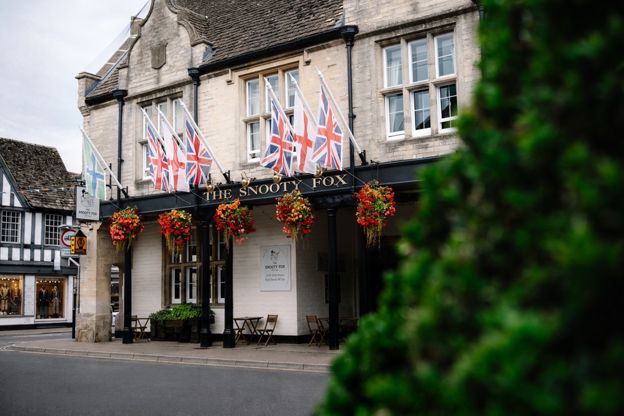
The Snooty Fox
Hotel · Tetbury
A hotel, restaurant and bar with 12 rooms on Tetbury's Market Place, with dogs welcome.
Dog-friendly · Wedding venues
Verified Nov 2026
-
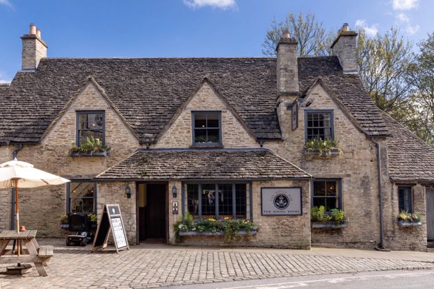
The Royal Oak, Tetbury
Inn · Tetbury
A late eighteenth-century pub with rooms on Cirencester Road, Tetbury, back in community hands since 2013, with dog-friendly rooms.
Dog-friendly · Family-friendly
Verified Oct 2026
-
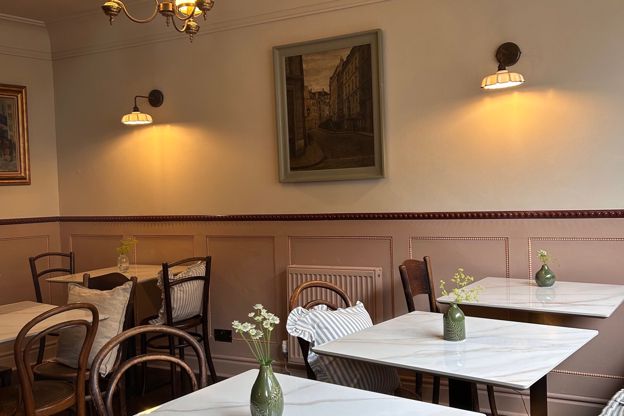
The Gilbertine Kitchen
Cafes and tearooms · Tetbury
A café on Long Street, Tetbury, for breakfast and lunch from Wednesday to Sunday, with guest-chef and pop-up evenings.
Verified Nov 2026
-
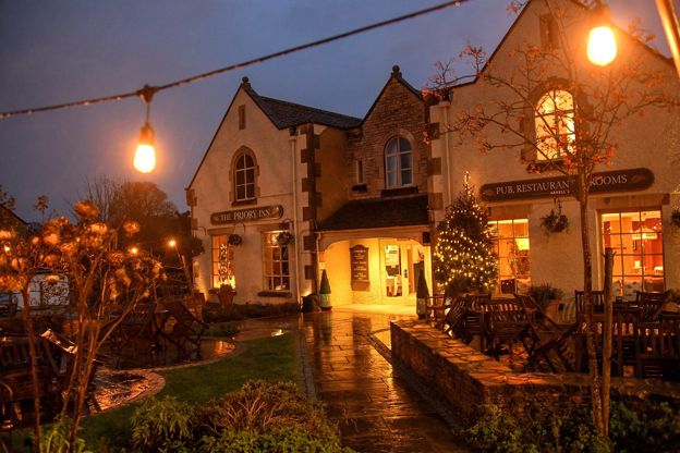
The Priory Inn
Inn · Tetbury
An Arkell's pub with 14 en-suite rooms, including a large family room, on London Road, Tetbury, with an EV charger in the car park.
EV charging · Family-friendly
Verified Nov 2026
-
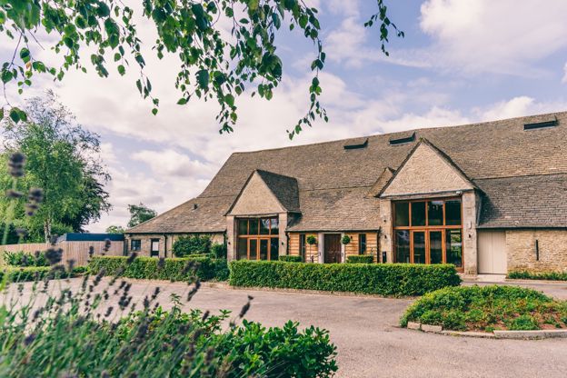
Great Tythe Barn
Self-catering · Tetbury
Lodge rooms, a house and ten cottages at Great Tythe Barn, an event estate on the edge of Tetbury, open for stays outside weddings too.
Wedding venues
Verified Oct 2026
Stay near the start
Inns, cottages and hotels within a short drive of where the walk begins, so you can set off early.
Where to stay in Tetbury-
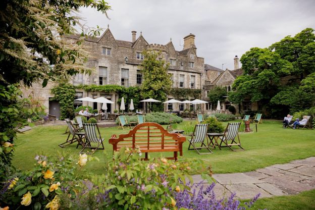
The Close Hotel
Hotel · Tetbury
A hotel on Long Street, Tetbury, set back from the street, part of Cotswold Inns and Hotels, with dogs welcome.
Dog-friendly · EV charging
Verified Nov 2026
-
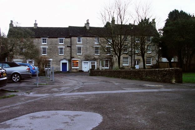
Angel Cottage
Self-catering · Tetbury
A holiday cottage for two on New Church Street in the middle of Tetbury, for short breaks or weekly stays.
Verified Nov 2026
-
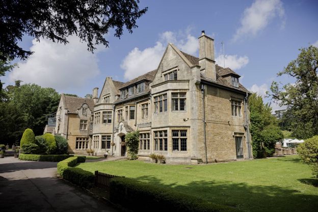
Hare and Hounds
Hotel · Tetbury
A hotel at Westonbirt near Tetbury, close to the National Arboretum, with the Gamekeeper's Cottage and its hot tub next door, and dogs welcome.
Dog-friendly · Hot tubs · Wedding venues
Verified Oct 2026
More like this
Stories on this walk
-
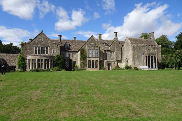
Poldark at Chavenage House: visiting Trenwith
Story · Guides · 5 minute read
Chavenage House near Tetbury played Trenwith in the BBC's Poldark: which rooms you see on screen, the other dramas the house names, its Civil War ghost, and how to book a tour while filming limits the dates.
More walks to try
-
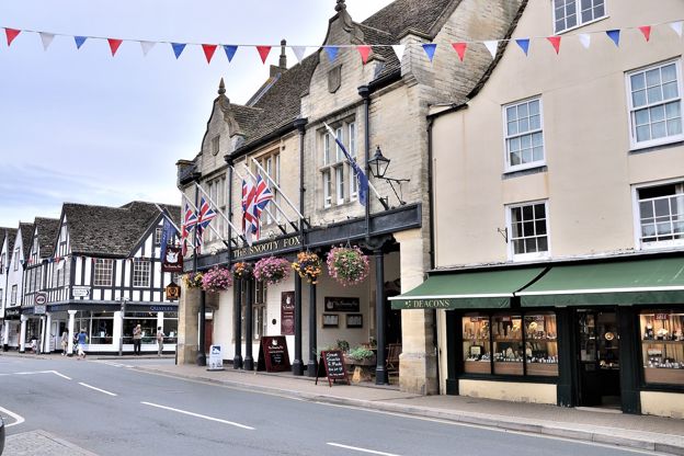
Tetbury town walk
Walk · Starts in Tetbury · 45 mins · Circular
A 1.7-mile (2.7km) easy loop round Tetbury from the Old Railyard car park, about 45 minutes on paved paths: St Saviour's and the old police court, the packhorse bridge at Cutwell, Bath Bridge, St Mary's, the Market House and back along the old railway to the Goods Shed.
-
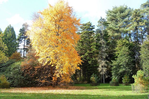
Silk Wood at Westonbirt Arboretum
Walk · Starts in Tetbury · 1 hr · Circular · Dog-friendly
A 2.6-mile (4.2km) easy, nearly level loop of about an hour through Silk Wood at Westonbirt, the National Arboretum, from the treetop walkway out to the Waste Gate, round by Oak Avenue and the maples and back along The Link. Inside the arboretum, so entry is paid.
-
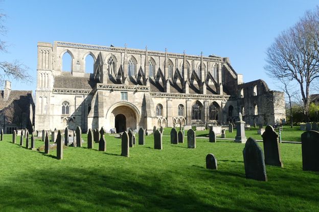
Malmesbury and the River Avon
Walk · Starts in Malmesbury · 1 hr · Circular · Dog-friendly
A 2.5-mile (3.9km) circular walk from Cross Hayes in Malmesbury, easy and about an hour, mostly level with some stiles: down from the Market Cross past Daniel's Well, along the Avon by the meads and the silk mills, and back round under the abbey.