Brian Chadwick, CC BY-SA 2.0, via Wikimedia Commons
Tetbury town walk
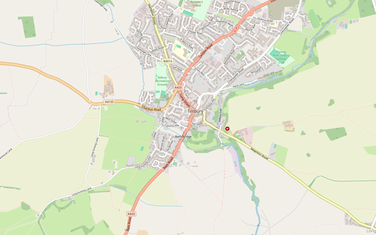
A 1.7-mile (2.7km) easy loop round Tetbury from the Old Railyard car park, about 45 minutes on paved paths: St Saviour's and the old police court, the packhorse bridge at Cutwell, Bath Bridge, St Mary's, the Market House and back along the old railway to the Goods Shed.
- Distance
- 2.7 km (1.7 mi)
- Difficulty
- Easy
- Time
- 45 mins
- Ascent
- 46 m
- Circular
- Circular
The route
Starts at Old Railyard car park, Tetbury Café on route Download GPX
Step by step
-
Step 1: Up into the town
From the Old Railyard car park, walk up to Chipping Street and turn left. Take the footpath through Eccles Court, then The Ferns, to London Road, and turn left past the Priory Inn and the old police station and court at the top of Long Street into New Church Street, passing St Saviour's church.
-
Step 2: Cutwell and Bath Bridge
Turn down Cutwell, crossing the little packhorse bridge on a short footpath, and follow the lane on to Berrells Road. At the end turn left onto Bath Road and walk back up into the town over Bath Bridge.
-
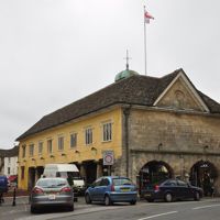
Step 3: St Mary's and the Market Place
Walk up Church Street past St Mary's church into Market Place and the Market House. Bear right into Silver Street.
-
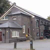
Step 4: Along the old line
At the bottom of Silver Street join the Tetbury Trail, a traffic-free path, and follow it north past the Goods Shed back to the car park.
Sights on the way
The sights this walk passes, numbered as on the map.
-
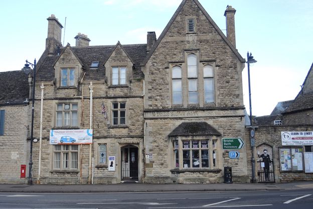
Old police station and court, Tetbury
Sight · Historic building · Tetbury
Tetbury's police station and magistrates' court of 1884 on Long Street, with its cells and courtroom intact, now the town council offices and a free police museum holding what the council calls the largest collection of British handcuffs and restraints on public view.
-
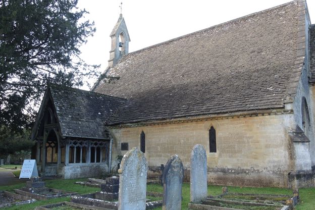
St Saviour's Church, Tetbury
Sight · Church · Tetbury
A Victorian chapel of ease of 1848 on New Church Street, Tetbury, built for the poor who could not pay for pews at St Mary's and furnished with help from Pugin and Hardman; now cared for by the Churches Conservation Trust and open Monday to Saturday.
-
Cutwell Bridge, Tetbury
Sight · Bridge · Tetbury
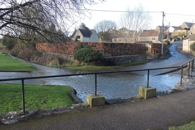
A small packhorse and foot bridge of about 1622 on the old road into Tetbury from the south-west: one triangular stone arch about a metre high over a tributary of the Avon, with a long ramp. Grade II, on a public path the Tetbury town walk follows.
-
Bath Bridge, Tetbury
Sight · Bridge · Tetbury
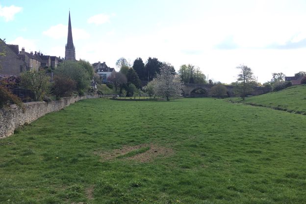
Bath Bridge carries the Bath road, now the A433, over the valley south of Tetbury and up into the town: four arches of rubble stone, each a different size, built by Thomas Webb in 1774 to 1776 as part of the town's Georgian improvements. Grade II.
-
St Mary the Virgin, Tetbury
Sight · Church · Tetbury
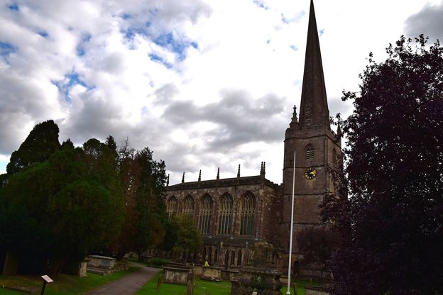
Tetbury's parish church, rebuilt in 1777 to 1781 by Francis Hiorn as a tall Gothick hall with wooden clustered columns, box pews and side passages, under a medieval tower and spire rebuilt in the 1890s. Grade I; open every day.
-
Market House, Tetbury
Sight · Historic building · Tetbury
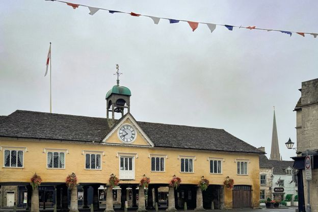
Tetbury's pillared Market House of 1655 stands in the middle of the town: a timber-framed hall on three rows of stone columns, built and still owned by the Tetbury Feoffees, with a cupola, a dolphin weathervane and markets underneath every week. Grade I.
The walk in detail
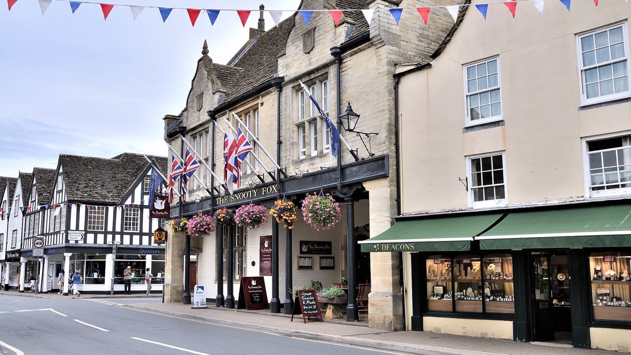
The Tetbury town walk is a 1.7-mile (2.7km) easy loop round the middle of Tetbury from the free Old Railyard car park, almost all of it paved (97% by AllTrails' surface data), with a couple of short hills. It takes about 45 minutes, longer with stops, and passes two churches, two old bridges, the Market House and pubs including the Snooty Fox.
That is the point of it: it passes a string of listed buildings and most of the town's cafés, pubs and antique shops.
St Saviour's and the old court
The first two sights are the old police court, at the top of Long Street, and St Saviour's church just beyond it on New Church Street. St Saviour's was built in 1848 by S W Daukes, in the Decorated style, with a separate chancel, a sanctus bellcote and a south porch of open timberwork. Its listing notes that all its fittings are original to the building. It is no longer a parish church and is cared for by the Churches Conservation Trust.
The former police station and petty sessional court of 1884, at 63 Long Street, carries its purpose in raised Gothic lettering across the front, with Magistrates over the door. Its cross-wing holds the old guard's room and three cells, with the double-height court above. Today it houses the town council's offices and the police museum.
Two bridges
The walk crosses two old bridges on the south-west side of town: Cutwell Bridge of about 1622 and Bath Bridge of the 1770s. Cutwell Bridge, on the old road into Tetbury from the south-west, is a packhorse and foot bridge: a single triangular arch about a metre high over a tributary of the Avon, with a long ramp. A few minutes later the route crosses Bath Bridge, built in 1774 to 1776 by Thomas Webb to carry the Bath road over the valley. Its four arches are all different sizes because the bridge slopes up the hill into the town.
St Mary's and the Market House
St Mary the Virgin and the Market House are the walk's two Grade I buildings, a few steps apart up Church Street. St Mary's, listed Grade I, was built in 1781 by Francis Hiorn of Warwick as a Gothic Revival hall church with box pews. Its tower and spire were rebuilt in 1890 and 1891. The Market House was built in 1655, altered in 1740 and 1817, timber-framed on three rows of stone columns, and still owned by the Tetbury Feoffees, a body founded in 1633. Markets are held beneath it on Wednesdays and Saturdays.
Tetbury was an important wool market in the Middle Ages, but Visit Tetbury says it never made cloth itself, for lack of running water to drive mills. The Woolsack Races are run up and down Gumstool Hill, which climbs at 1 in 4, on the spring bank holiday Monday (expected to be 31 May in 2027, a date the organisers have still to confirm), a short way off the route. Our guide to when to visit the Cotswolds puts them in the calendar.

The Cotswolds Info newsletter
Events, new places and the best of the season, about once a month. Unsubscribe at any time.
What walkers report
Walkers on AllTrails describe a town walk rather than a country one. AllTrails' surface data puts 97% of the route on paved ground. Walkers in August 2025 and May 2026 mention a few short, steep hills, and reviewers in December 2024 and February 2026 note that the route uses residential streets and roads with traffic.
Food, drink and parking
The walk passes two pubs and ends near a third. The Priory Inn on London Road is an Arkell's pub, the Snooty Fox on the Market Place is a hotel, restaurant and bar that welcomes dogs, and the Royal Oak, near the end, is a late eighteenth-century free house that reopened in 2013 after restoration. Our guide to Cotswold pubs has more like them. There are cafés on Church Street, where Hobbs House Bakery sells bread and takeaway coffee, and the Close on Long Street is a hotel that also takes dogs; for more, see our places to stay in Tetbury.
The Old Railyard car park at the start (GL8 8EY) is free, with 72 spaces; The Chipping car park nearby charges, except on Sundays. Public toilets (50p) are in West Street, near the route. Stagecoach buses reach Tetbury from Kemble station, Cirencester and Stroud from Monday to Saturday, with none on Sundays.
Longer walks from Tetbury
For a walk into the country, Tetbury and Ashley heads out from the town over the fields. Westonbirt Arboretum is about 3 miles south-west, and Malmesbury, about 5 miles south, has its own walk along the River Avon.
Places on the way
-
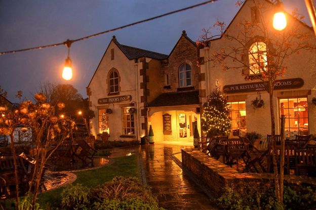
The Priory Inn
Inn · Tetbury
An Arkell's pub with 14 en-suite rooms, including a large family room, on London Road, Tetbury, with an EV charger in the car park.
EV charging · Family-friendly
Verified Nov 2026
-
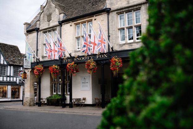
The Snooty Fox
Hotel · Tetbury
A hotel, restaurant and bar with 12 rooms on Tetbury's Market Place, with dogs welcome.
Dog-friendly · Wedding venues
Verified Nov 2026
-
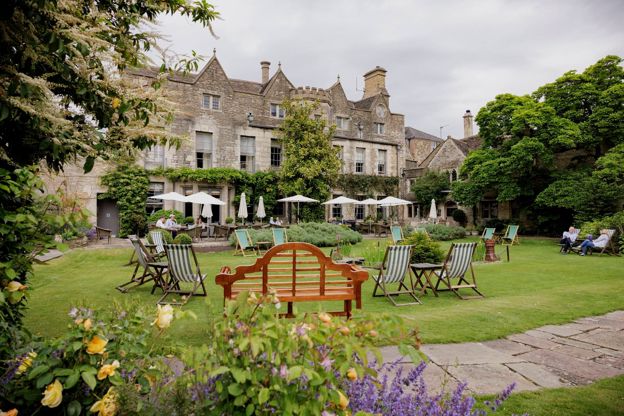
The Close Hotel
Hotel · Tetbury
A hotel on Long Street, Tetbury, set back from the street, part of Cotswold Inns and Hotels, with dogs welcome.
Dog-friendly · EV charging
Verified Nov 2026
-
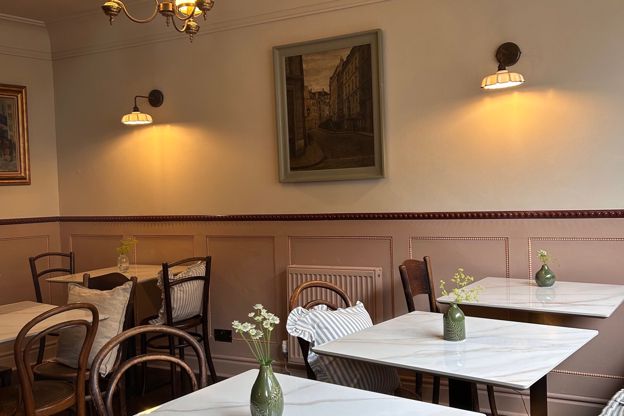
The Gilbertine Kitchen
Cafes and tearooms · Tetbury
A café on Long Street, Tetbury, for breakfast and lunch from Wednesday to Sunday, with guest-chef and pop-up evenings.
Verified Nov 2026
-
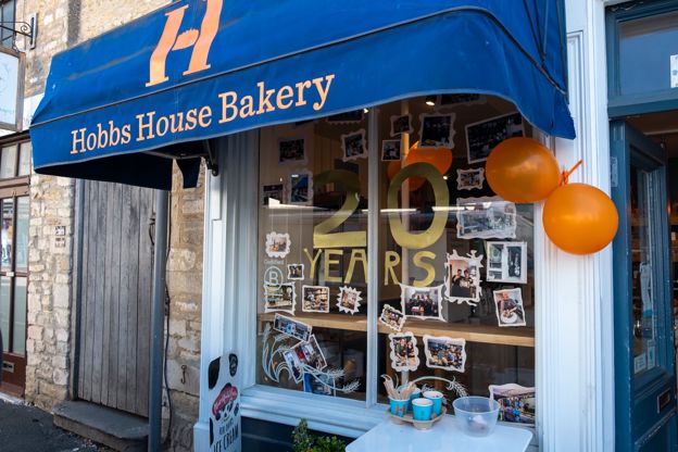
Hobbs House Bakery, Tetbury
Farm shops and delis · Tetbury
The Tetbury shop of Hobbs House, the fifth-generation family bakery, on Church Street, selling fresh bread, cakes and takeaway Extract coffee from Monday to Saturday.
Verified Nov 2026
Stay near the start
Inns, cottages and hotels within a short drive of where the walk begins, so you can set off early.
Where to stay in Tetbury-
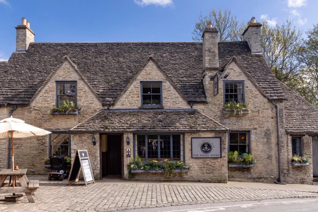
The Royal Oak, Tetbury
Inn · Tetbury
A late eighteenth-century pub with rooms on Cirencester Road, Tetbury, back in community hands since 2013, with dog-friendly rooms.
Dog-friendly · Family-friendly
Verified Oct 2026
-
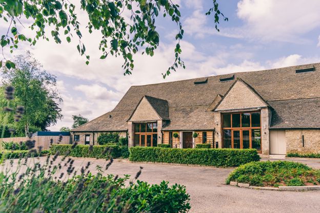
Great Tythe Barn
Self-catering · Tetbury
Lodge rooms, a house and ten cottages at Great Tythe Barn, an event estate on the edge of Tetbury, open for stays outside weddings too.
Wedding venues
Verified Oct 2026
-
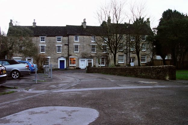
Angel Cottage
Self-catering · Tetbury
A holiday cottage for two on New Church Street in the middle of Tetbury, for short breaks or weekly stays.
Verified Nov 2026
More like this
Stories on this walk
-
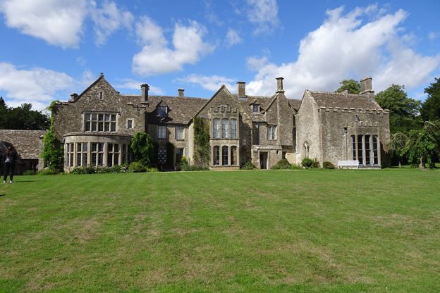
Poldark at Chavenage House: visiting Trenwith
Story · Guides · 5 minute read
Chavenage House near Tetbury played Trenwith in the BBC's Poldark: which rooms you see on screen, the other dramas the house names, its Civil War ghost, and how to book a tour while filming limits the dates.
-
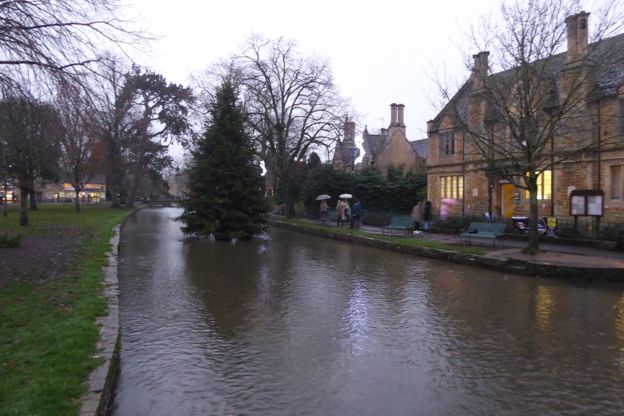
The Cotswolds in December
Story · Guides · 8 minute read
The Cotswolds in December: the shortest days, light trails and late shopping, the attractions that close over Christmas and the ones that stay open, the quiet week between Christmas and New Year, short walks on firm ground and where to stay for it.
More walks to try
-
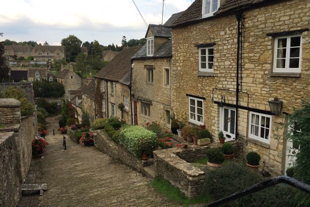
Tetbury and Ashley
Walk · Starts in Tetbury · 3 hrs · Circular
A 6.5-mile (10.5km) moderate circular walk of about three hours from Tetbury's Goods Shed, with stiles: along the old railway line, over the fields to Ashley and its Norman church, and back on the Monarch's Way past a brick pillbox, walking towards the town's spire.
-
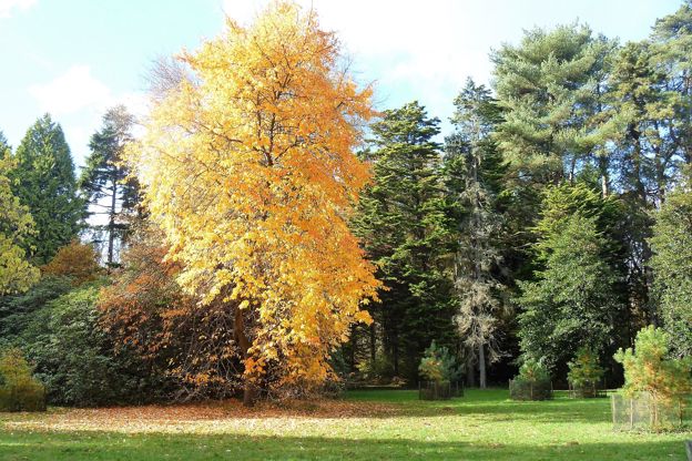
Silk Wood at Westonbirt Arboretum
Walk · Starts in Tetbury · 1 hr · Circular · Dog-friendly
A 2.6-mile (4.2km) easy, nearly level loop of about an hour through Silk Wood at Westonbirt, the National Arboretum, from the treetop walkway out to the Waste Gate, round by Oak Avenue and the maples and back along The Link. Inside the arboretum, so entry is paid.
-
Malmesbury and the River Avon
Walk · Starts in Malmesbury · 1 hr · Circular · Dog-friendly
A 2.5-mile (3.9km) circular walk from Cross Hayes in Malmesbury, easy and about an hour, mostly level with some stiles: down from the Market Cross past Daniel's Well, along the Avon by the meads and the silk mills, and back round under the abbey.