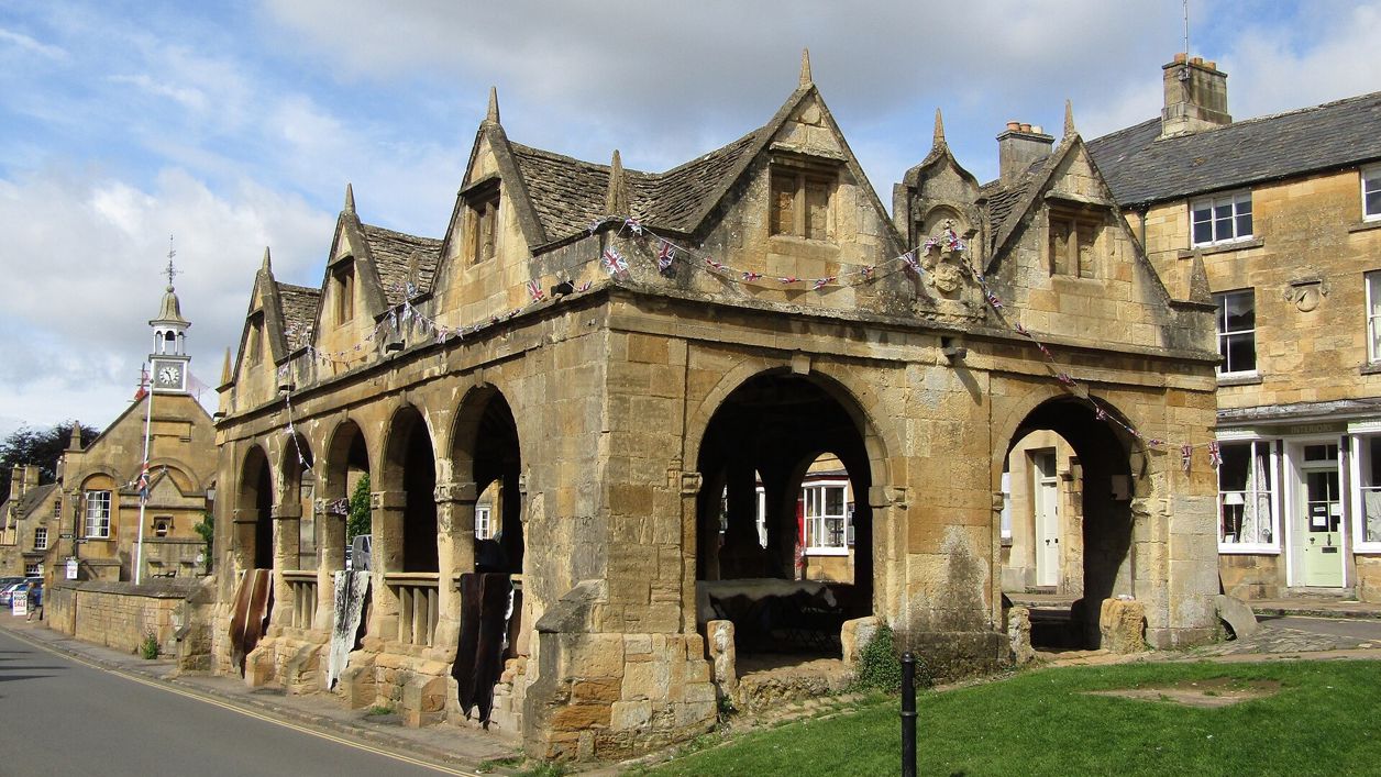
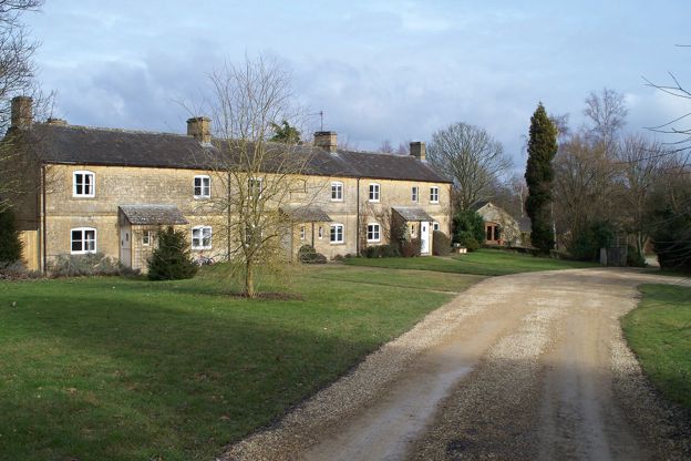
Colin Smith, CC BY-SA 2.0, via Wikimedia Commons
Chipping Campden to Blockley
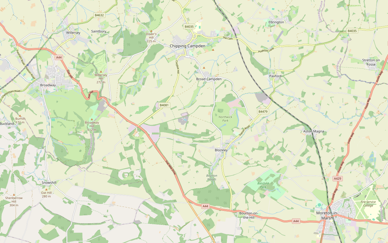
A 9-mile (14.5km) circular walk from the Noel Arms in Chipping Campden to Blockley and back, about three and three quarter hours of moderate walking with 306m of climbing. It goes by Broad Campden, the Monarch's Way and Norcombe Wood, with five stiles and 200m of busy road.
- Distance
- 14.5 km (9.0 mi)
- Difficulty
- Moderate
- Time
- 3 hrs, 45 mins
- Ascent
- 306 m
- Circular
- Circular
The route
Starts at Outside the Noel Arms, High Street, Chipping Campden follows the Monarch's Way for a while StilesSteep sectionRoad walkingMuddy in winter Download GPX
Step by step
-
Step 1: Campden to Broad Campden
From outside the Noel Arms, walk through the archway onto George Lane and follow it, then the narrow road and path straight on, up to the main road. Turn left into the field and immediately right along the hedge. At the end of the hedge, carry straight on up the hill and take the right fork to Broad Campden. Go through the gate onto a path that crosses a private drive to a second gate and a lane. Follow the lane past the Quaker Meeting Room on your left to the small church, then turn right along the road to the Bakers Arms.
-
Step 2: The Monarch's Way to Norcombe Wood
Opposite the Bakers Arms, follow the signed Monarch's Way up the track to a field gate marked Northwick Estate. Go through, past a waymarker post to the top of the hill, through another field gate, and bear right onto a track up to the main road. Turn left; this road can be especially busy, so take care. After about 200m turn left through a gap in the wall by a waymarker, right through a gap in a low wall, then immediately left. Go down the left-hand edge of the field, past a small wood on your left, to another small wood. Turn right at the waymarker and after about 100m turn left into a field with the hedge on your right. Follow the field edge down to a track and in about 200m reach a crossroads in Norcombe Wood.
-
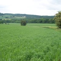
Step 3: Shales Coppice and Day's Lane into Blockley
Carry straight on out of the wood along the track. Cross the road, go through the field gate and follow the bridleway along the left-hand edge of the field. At the waymarker, turn left down the right-hand edge of the next two fields; before the end of the second, the path turns right through a gap in the wall onto a house drive. Turn left along the drive and, where it turns sharply left, go straight on across the field into Shales Coppice. Bear left through the coppice, crossing another path, and go down the middle of the next field to a bridleway. Bear slightly right and follow the track down Day's Lane into Blockley. At the bottom, turn left along the High Street for about three quarters of a mile (1.2km), past the shop and café and the green, into Park Road.
-
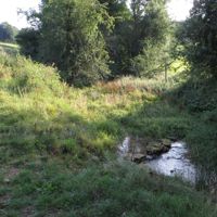
Step 4: Blockley to Campden Hill Farm
Opposite the last cottage on the right, turn left over a stile by a field gate and then right over a stile. Cross the field diagonally left for about 200m to a point left of three large trees, then walk down to the gate near the bottom right-hand corner; the path is indistinct here. Climb the next field to the gate in its top right-hand corner, not the earlier gate onto the road. Turn right over a stile into the trees and immediately left. Out of the copse, after about 200m, follow the left-hand edge of an open field for 200m to a track, go straight on to a junction and bear slightly right on the track past a disused quarry on your left. Go downhill, bearing left towards Campden Hill Farm, and just before the buildings turn right down some steps and through a gate onto a bridleway beside the buildings, up to a gate. If the ground is wet, go through this gate and up the hedge line to the Monarch's Way, and retrace your steps to Broad Campden.
- Stiles
- Muddy in winter
-
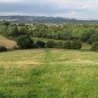
Step 5: Back to Broad Campden and Campden
Turn right before the gate and follow the path through the trees, through a kissing gate and past an enclosure with iron railings. Beyond it, bear half right downhill to the bottom left-hand corner of the field, into trees and a waymarker. Cross the field to a wooded area with two stiles, then go straight across the next field towards the left-hand corner of the fenced area and follow the right-hand edge of the field to a stone wall. Follow the wall, turn right at its end and go through a gate with the Bakers Arms ahead of you. Retrace the outward route to Chipping Campden.
- Stiles
Sights on the way
The sights this walk passes, numbered as on the map.
-
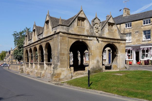
Market Hall, Chipping Campden
Sight · Historic building · Chipping Campden
The open arcade of 1627 in the middle of Chipping Campden's High Street, built by Sir Baptist Hicks as a sheltered market for butter, cheese and poultry, saved from sale to America in the 1940s and now the National Trust's. Grade I; the Cotswold Way starts beside it.
-
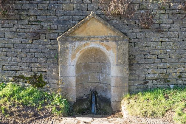
Russell Spring, Blockley
Sight · Monument · Blockley
The Russell Spring is a small gabled niche on Blockley's High Street, inscribed "Water from the Living Rock God's Precious Gift to Man", built in the middle of the nineteenth century by men out of work in winter, in the wall below a raised walkway. Grade II; seen at any time.
-
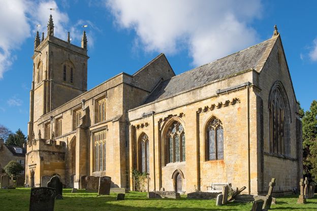
St Peter and St Paul, Blockley
Sight · Church · Blockley
St Peter and St Paul is Blockley's church by the square, founded about 800 by its own account: a late twelfth-century chancel, medieval brasses, Childe and Rushout monuments and a tower of 1725 to 1727 attributed to the Woodwards. Grade II*, open daily and Father Brown's church.
The walk in detail
The Chipping Campden to Blockley walk is a 9-mile (14.5km) circular route from outside the Noel Arms in Chipping Campden to Blockley and back. It is moderate, with 306m of climbing, five stiles and steep slopes in places, and the leaflet allows three and three quarter hours. The Bakers Arms in Broad Campden is on the route twice.
It is one of the Cotswolds National Landscape's Walks With Stiles. Its authors last checked the leaflet in January 2021, so follow the waymarks on the ground as well.
Broad Campden
Broad Campden is the first village, a mile out, and the walk passes through it on the way out and back. The walk leaves Campden through the archway of the Noel Arms, an inn listed Grade II, and climbs George Lane and the fields to Broad Campden. The lane through the village passes the Quaker Meeting Room and then the small church. That church is St Michael's, built in 1867 and 1868 to designs by J. Pritchard of Llandaff with a round belfry at its west end. Its listing records a communion rail designed by C. R. Ashbee in 1913, the leader of the Guild of Handicraft that our guide to the Arts and Crafts movement follows to Campden. The Bakers Arms, opposite the start of the Monarch's Way, is where the loop leaves the village and where it comes back in.
The Northwick Estate and Norcombe Wood
The outward half follows the Monarch's Way over the Northwick Estate and down through Norcombe Wood to Blockley. Out of Broad Campden the path goes uphill through a gate marked Northwick Estate. The Rushout family held Northwick Park from 1683 to 1912 and rebuilt the house about 1730, according to the Victoria County History. After the short and busy stretch of main road, the paths run down field edges and between small woods to a crossroads in Norcombe Wood, then on by Shales Coppice to Day's Lane, which drops into Blockley. That part of the wood is also on our shorter Blockley and Norcombe Wood loop.
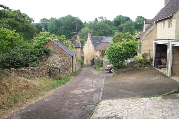
Blockley and its silk mills
Blockley is the halfway point, an old silk village, and the walk follows its High Street for about three quarters of a mile. It passes the village shop and café and the green before leaving by Park Road. The leaflet says the village's buildings still reflect its mills and silk production: Blockley was a main centre of the silk industry in the eighteenth and nineteenth centuries, with several mills powered by the brook. The Victoria County History records the first silk mill, built by Henry Whatcot, who died in 1718, and five mills working by 1780.
Blockley was a detached part of Worcestershire until 1931. Its church, St Peter and St Paul, has a late twelfth-century chancel and a west tower of 1725 to 1727, and is listed Grade II*. It plays St Mary's, Kembleford, in the BBC's Father Brown, as our guide to Cotswolds film locations notes.
The quarry and Campden Hill Farm
The way home climbs out of Blockley, past a quarry, and has all five of the walk's stiles. You go over stiles and through a small copse to a track that passes a disused quarry. The leaflet explains that the quarry is now home to an anaerobic digestion plant, which recycles food waste: bacteria feed on it and make biogas, which is captured and used as fuel. Below it, steps lead down past Campden Hill Farm, and the path runs back through trees and fields, over two more stiles, to the Bakers Arms in Broad Campden.

The Cotswolds Info newsletter
Events, new places and the best of the season, about once a month. Unsubscribe at any time.
Food and drink
There are pubs at both ends and in the middle, and a café in Blockley. The leaflet names the Bakers Arms in Broad Campden, which you pass twice, and the village shop and café in Blockley. Blockley Café, on Bell Lane in the village, says it opens seven days a week, with walk-in service from 9am to 5pm. The Great Western Arms, a Hook Norton Brewery pub with a large patio, is on Station Road, a few minutes off the route. The walk starts and ends at the Noel Arms in Campden, which has a restaurant and bar, and there are cafés along Campden's High Street, among them Bantam Tea Rooms, which also lets rooms; ring 01386 840386 for its opening times.
Parking, buses and toilets
The leaflet gives no parking, so use Chipping Campden's. The Cotswolds National Landscape's Dover's Hill walk asks walkers to use the free parking in Back Ends, and the Market Square car park (GL55 6AW) has 32 bays, with the first 20 minutes free, then £1 for an hour or £2 for two, card or PayByPhone only. The walk starts outside the Noel Arms on Campden's High Street; the leaflet gives the grid reference SP 150391. There are public toilets in Sheep Street, Chipping Campden (50p), and none listed for Blockley. Stagecoach buses 1, 1A, 2 and 2A link Campden and Blockley about six times a day each way, Sundays included (six each way from Blockley Village Green on Wednesday 28 October and on Sunday 1 November 2026), so check the timetable. To stay over, see places to stay in Chipping Campden.
Paths, stiles and road
The outward half has gates and gaps in walls, and the return has the stiles. The leaflet's route has 200m on a main road that the leaflet warns can be busy, so take care. The stiles are all on the return: two at the edge of Blockley, one into the copse above the village and two in the wooded area before Broad Campden. The path below Park Road is indistinct for a stretch, and there are steps down at Campden Hill Farm. If the ground is wet, the leaflet's alternative from Campden Hill Farm rejoins the Monarch's Way and retraces the outward route to Broad Campden. The leaflet gives no rules for dogs.
Shorter walks from Campden
Campden has shorter walks for a half day. The circuit of Dover's Hill is 4.5 miles and follows the start of the Cotswold Way from the Market Hall, where a carved stone marks the trail's start, and the level loop from Broad Campden is a mostly level 3.3 miles over the fields and along Campden's High Street.
Places on the way
-
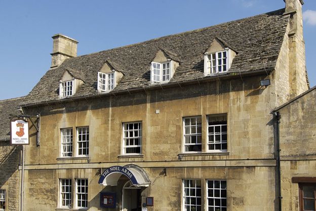
The Noel Arms Hotel
Inn · Chipping Campden
A Grade II listed inn with 27 rooms on Chipping Campden's High Street, with a restaurant, parking, accessible rooms and dogs by arrangement.
Dog-friendly
Verified Oct 2026
-
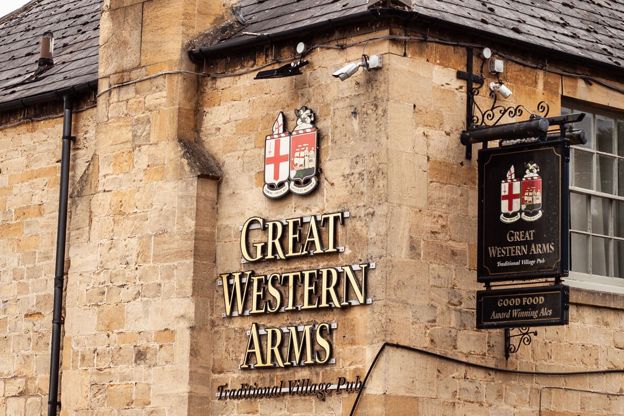
Great Western Arms
Pubs · Blockley
A Hook Norton Brewery pub on Station Road, Blockley, with a large patio, a car park, Hooky ales and dogs welcome.
Dog-friendly · Walker-friendly
Verified Nov 2026
-
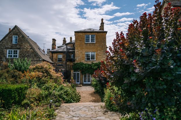
Cotswold House Hotel and Spa
Hotel · Chipping Campden
A Grade II listed Regency town house on Chipping Campden's Upper High Street, now a hotel and spa with the Hidcote restaurant.
Hot tubs · Wedding venues
Verified Nov 2026
-
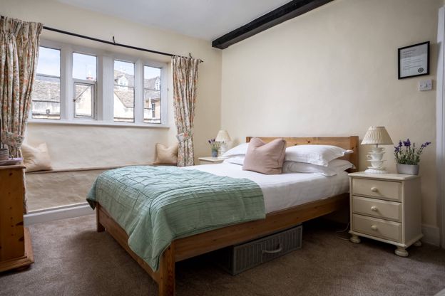
Bantam Tea Rooms
Cafes and tearooms · Chipping Campden
Tea rooms with rooms on the High Street in Chipping Campden, open every day from 9.30am to 5pm.
Verified Oct 2026
-
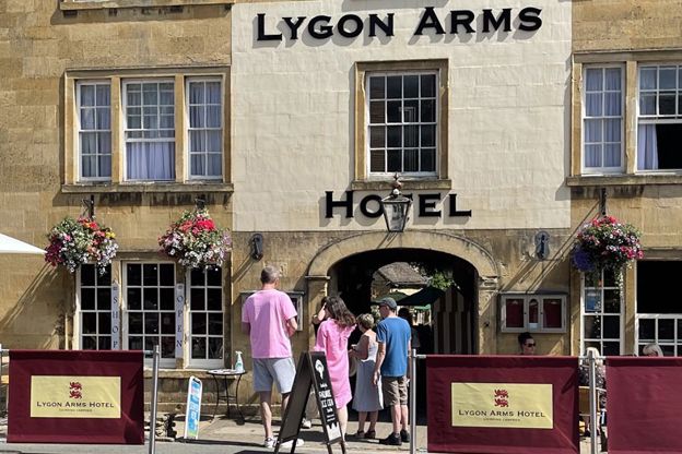
The Lygon Arms, Chipping Campden
Inn · Chipping Campden
A coaching inn with ten rooms on Chipping Campden's High Street, with family rooms, bike storage, free parking at the rear and dogs welcome.
Dog-friendly
Verified Oct 2026
-
Court Barn Museum
Museums and galleries · Chipping Campden
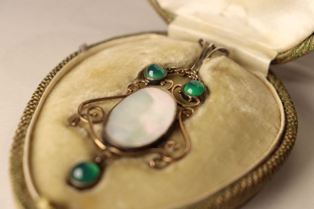
Chipping Campden's museum of craft and design, telling the story of Ashbee's Guild of Handicraft and the makers who followed, with half price for bus passengers.
Rainy days · Car-free
Verified Oct 2026
Stay near the start
Inns, cottages and hotels within a short drive of where the walk begins, so you can set off early.
Where to stay in Chipping Campden-
The Eight Bells Inn
Inn · Chipping Campden
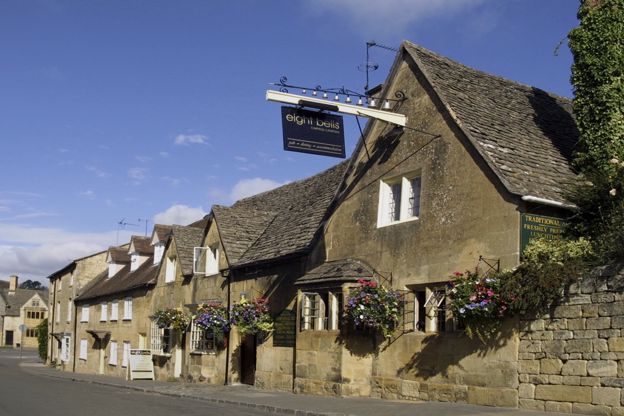
A pub with six rooms on Church Street, Chipping Campden, serving lunch and dinner, on Church Street.
Verified Nov 2026
-
The Seagrave Arms
Inn · Chipping Campden
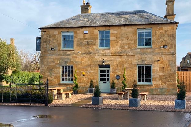
A seventeenth-century coaching inn with seven rooms at Weston Subedge, about two and a half miles from Chipping Campden, renovated in 2021.
Verified Nov 2026
-
Dormy House
Hotel · Broadway
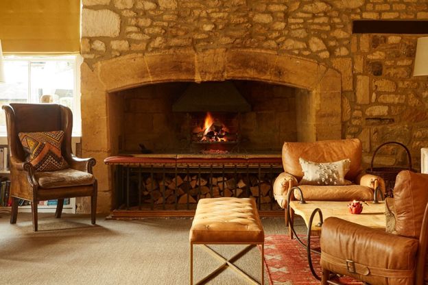
A hotel and spa on Willersey Hill above Broadway, on the 500-acre Farncombe estate it shares with the Fish and Foxhill Manor, with a pool, hot tub suites and dogs in set rooms.
Dog-friendly · Family-friendly · Hot tubs
Verified Nov 2026
More like this
Stories on this walk
-
Father Brown in the Cotswolds: Blockley as Kembleford
Story · Guides · 6 minute read
Where the BBC's Father Brown is filmed in the Cotswolds: Blockley as Kembleford, its church as St Mary's, and the railway station, villages and tower that have appeared since 2013, with how to visit each.
More walks to try
-
Blockley and Norcombe Wood
Walk · Starts in Blockley · 1 hr, 15 mins · Circular
A 3-mile (5km) circular walk from Park Road at the top of Blockley, about an hour and a quarter, moderate with one longer climb and muddy woods. It goes up beside Northwick Park into Norcombe Wood, then down the brook valley and back through the old silk-mill village.
-
Chipping Campden and Dover's Hill
Walk · Starts in Chipping Campden · 3 hrs, 30 mins · Circular
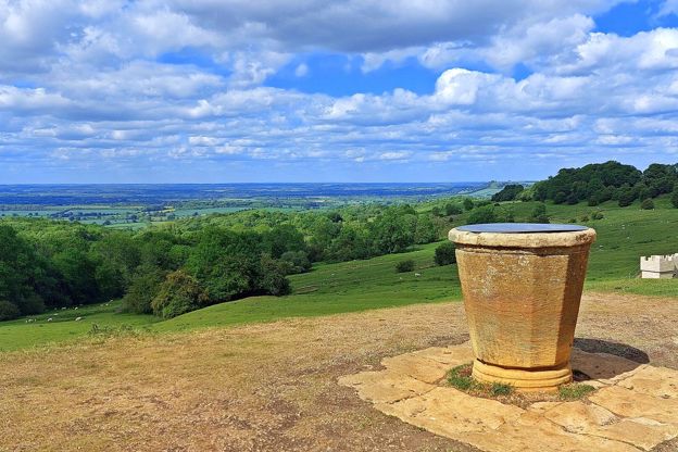
A 4.5-mile (7.2km) circular walk from the Market Hall in Chipping Campden, two and a half to three and a half hours, moderate with steep sections. It climbs the Cotswold Way to Dover's Hill, home of the Olimpicks, and drops through Lynches Wood; a 3-mile version skips the climbs.
-

The Cotswold Way
Walk · Dog-friendly
The Cotswold Way is a 102-mile (164km) National Trail walk from Chipping Campden to Bath along the escarpment, in 15 sections; the official guidebook suggests seven to ten days, and its frequent steep climbs make it hard going.