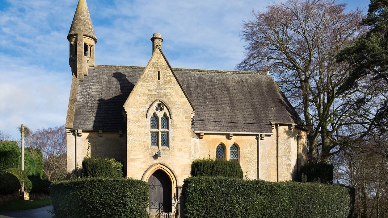
DeFacto, CC BY-SA 4.0, via Wikimedia Commons
Chipping Campden from Broad Campden
A 3.3-mile (5.3km) circular walk from St Michael's church in Broad Campden, easy and mostly level, in about an hour and a quarter. It draws a figure of eight over the fields to Lady Juliana's Gateway, along Chipping Campden's High Street, by St James's and back.
- Distance
- 5.3 km (3.3 mi)
- Difficulty
- Easy
- Time
- 1 hr, 15 mins
- Ascent
- 60 m
- Circular
- Circular
The route
Starts at St Michael’s Church, Broad Campden Muddy in winterLivestock in fieldsDogs on lead near sheepRoad walkingCafé on route Download GPX
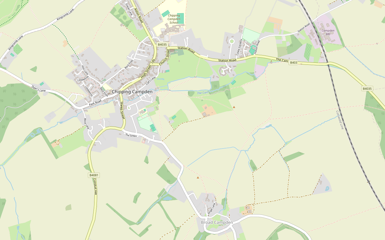
Step by step
-
Step 1: Broad Campden to the Cam
From St Michael’s Church in Broad Campden, walk up Angel Lane past Quaker Cottage and take the public footpath on the right, which can be hard to spot. Follow it north across the fields for about 1.2km, crossing the Cam, a stream, near Cam Farm.
- Muddy in winter
- Dogs on lead
-
Step 2: Into Chipping Campden
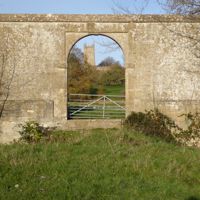
Keep on the footpath to Lady Juliana’s Gateway and its stone bridge, then past Haydon Mill and along Badgers Field and Calf Lane to the High Street by the Noel Arms.
- Café
-
Step 3: The High Street to St James’s
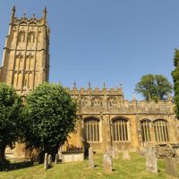
Walk along the High Street past the Town Hall and the Market Hall, Woolstaplers’ Hall and Grevel’s House, then turn along Leysbourne, Cidermill Lane and Church Street to the gateway of Old Campden House and St James’s Church. Take the path beside the churchyard to Station Road.
-
Step 4: Back across the fields
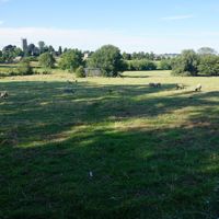
Follow Station Road a short way with care, then take the public footpath south-east across the fields for about 1.8km, past the tennis club, crossing the sheep field again, back to Broad Campden by the Friends’ Meeting House.
- Dogs on lead
- Muddy in winter
Sights on the way
The sights this walk passes, numbered as on the map.
-
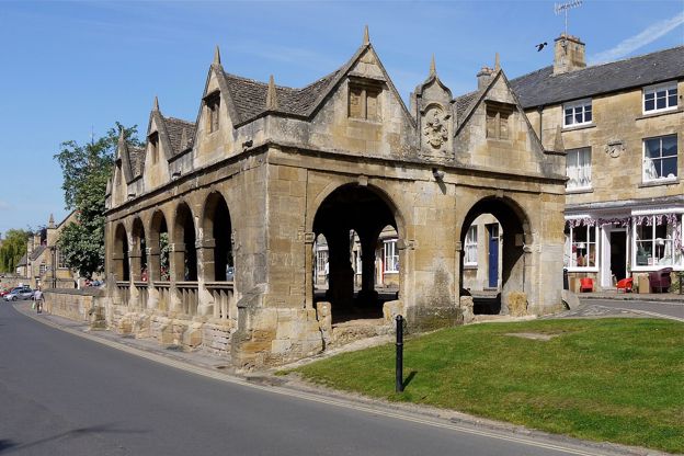
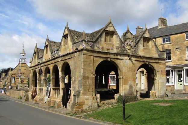
Market Hall, Chipping Campden
Sight · Historic building · Chipping Campden
The open arcade of 1627 in the middle of Chipping Campden's High Street, built by Sir Baptist Hicks as a sheltered market for butter, cheese and poultry, saved from sale to America in the 1940s and now the National Trust's. Grade I; the Cotswold Way starts beside it.
-
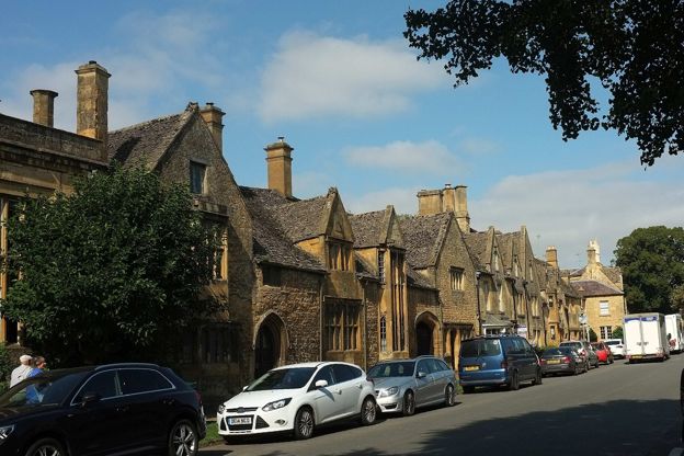
Grevel's House, Chipping Campden
Sight · Historic building · Chipping Campden
A medieval house on Chipping Campden's High Street with a two-storey Perpendicular bay window under gargoyles, named after William Grevel, perhaps the richest Cotswold wool merchant of his day, who died in 1401. Grade I; a private house seen from the street.
-
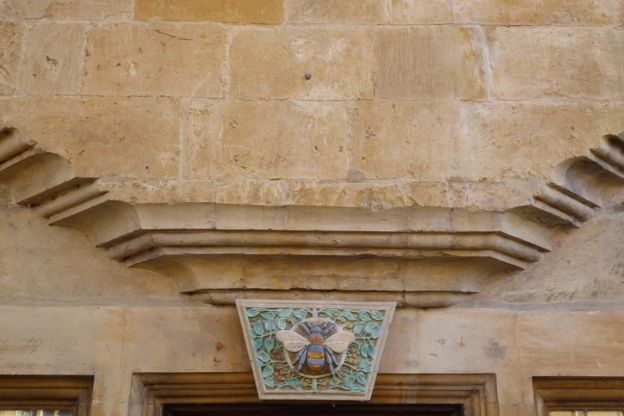
Woolstaplers' Hall, Chipping Campden
Sight · Historic building · Chipping Campden
A fifteenth-century merchants' hall on Chipping Campden's High Street, home of the Calf family of wool merchants and later of C R Ashbee of the Guild of Handicraft, who restored it after 1904. Grade I; seen from the street.
-
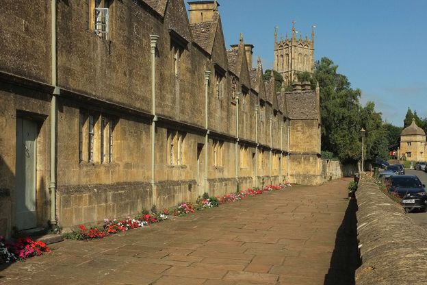
Almshouses, Chipping Campden
Sight · Historic building · Chipping Campden
Twelve almshouses on Church Street in Chipping Campden, built in 1612 for Sir Baptist Hicks at a cost of £1,000 on an I-shaped plan said to honour James I, and still homes for older people. Grade I; seen from the street.
-
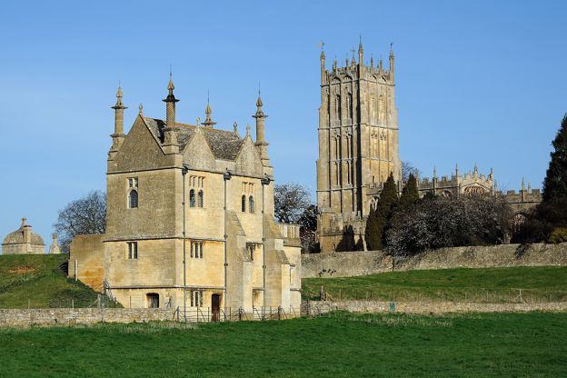
Old Campden House, Chipping Campden
Sight · Historic building · Chipping Campden
The lodges, gateway and two banqueting houses that survive of Sir Baptist Hicks's great house beside St James's in Chipping Campden, burned by its own Royalist garrison in 1645. The banqueting houses are Landmark Trust holiday lets; the grounds open only on occasional open days.
-
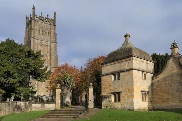
St James's Church, Chipping Campden
Sight · Church · Chipping Campden
Chipping Campden's wool church at the end of Church Street: a soaring fifteenth-century tower, William Grevel's brass of 1401, Sir Baptist Hicks's marble tomb and a medieval cope and altar hangings. Grade I, open to visitors most days.
The walk in detail
The Chipping Campden from Broad Campden walk is a 3.3-mile (5.3km) circular route from St Michael's church in Broad Campden, a mile south-east of Chipping Campden. It is easy and mostly level, with 60m of climbing, and takes about an hour and a quarter. Campden's High Street is halfway, and walkers recommend the Bakers Arms by the start.
It is the easiest walk we cover around Campden, mostly on field paths. It comes back by St James's Church on a second loop, so the route draws a figure of eight. Allow longer if you stop in town.
Broad Campden
The walk starts and ends in Broad Campden, at its church and its Quaker meeting house. St Michael's was built in 1867 and 1868 by J. Pritchard of Llandaff, with a round belfry at its west end and an apse at its east, and is listed Grade II. The walk ends a few doors away at the Friends' Meeting House, a cottage of probably the seventeenth century. Its listing says it is probably the cottage called the Quakers' Meeting House in a deed of 1757. It later became a Baptist chapel, then a cottage, and is a Friends' Meeting House again.
Across the Cam to Lady Juliana's Gateway
The way to Chipping Campden is across level fields and over the Cam, a stream, by a footbridge near Cam Farm. As you reach the edge of the town you pass Lady Juliana's Gateway, an archway of the early or middle seventeenth century approached by a vaulted stone bridge with no parapet. Its listing places it in the layout of Campden House, the mansion Sir Baptist Hicks began in 1613.
Through Chipping Campden
The halfway stretch follows Chipping Campden's High Street from the Noel Arms past the Market Hall. You come out by the Noel Arms and pass the Town Hall, remodelled in 1897 and said to contain stone from a Norman chapel of St Catherine dedicated in 1180. The Market Hall, built in 1627 for Sir Baptist Hicks for the sale of dairy produce and poultry, is listed Grade I and owned by the National Trust. A carved stone beside it marks the start of the Cotswold Way.
Further along are Woolstaplers' Hall, mostly fifteenth century, and Grevel's House, with its two-storey bay window and gargoyles, both Grade I. The Bantam Tea Rooms are on this stretch of the High Street, and walkers recommend the town for coffee and cake at the halfway point.
Old Campden House and St James's
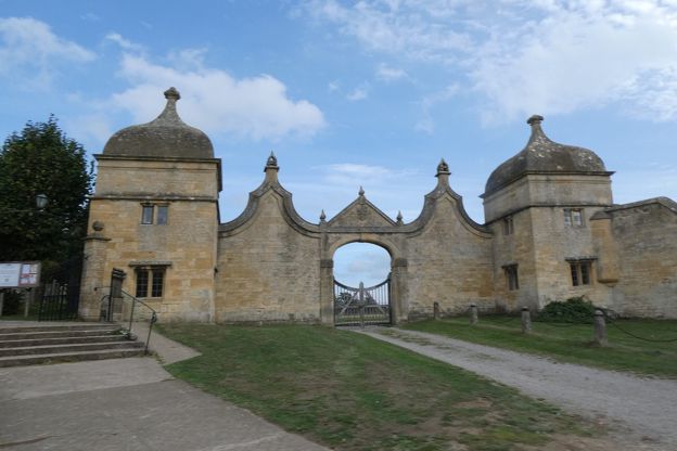
The second loop goes up Church Street past the gateway of Old Campden House to St James's. The lodges, gates and archway were built by Hicks around 1613 and repaired by F. L. Griggs around 1930; the two square lodges have ogee stone domes, and the pedimented gateway carries a coat of arms. The house itself was burnt by the retreating Royalist garrison in 1645. Court Barn, the museum of craft and design, is beside the route on Church Street, and our guide to the Arts and Crafts movement tells its story.
St James's, listed Grade I, is mostly of the fifteenth century, with a five-stage west tower; our story on the wool churches of the Cotswolds includes it. Inside are the brass of William Grevel, who died in 1401, and Hicks's marble tomb. The walk takes the path beside the churchyard to Station Road and turns back across the fields.
What walkers report
Walkers describe this as an easy, mostly flat walk on clear paths, with livestock in the fields. The first turning off the lane after the start can take some finding. They report a field of sheep that you cross twice, horses in other fields and footbridges over streams, and keep dogs on a lead by the sheep and in town. In winter the fields are muddy, and in late summer parts are overgrown. One walker found it quiet in the early evening.

The Cotswolds Info newsletter
Events, new places and the best of the season, about once a month. Unsubscribe at any time.
Parking, buses and food
Parking is the weak point, so think about starting in Chipping Campden. Walkers report only roadside spaces in Broad Campden, and one suggests starting in town instead, where the Cotswolds National Landscape asks walkers to use the free parking in Back Ends. The small Market Square car park is free for 20 minutes, then £1 for an hour or £2 for two, by card or phone. The public toilets on Sheep Street cost 50p. Stagecoach buses 1, 1A, 2 and 2A stop in Chipping Campden about every one to two hours from Monday to Saturday.
Several walkers recommend lunch at the Bakers Arms on Angel Lane in Broad Campden, by the start; its website gives food from noon to 9pm Monday to Saturday and noon to 5pm on Sundays. In Chipping Campden, the Eight Bells on Church Street is a short step from the route. To stay the night, see places to stay in Chipping Campden.
Longer walks from Chipping Campden
Three longer walks start in or near the town. The National Landscape's Chipping Campden and Dover's Hill climbs the edge north-west of the town, and Chipping Campden to Blockley goes through Broad Campden on its way south to Blockley. North of the town, Mickleton, Hidcote and Kiftsgate visits two of the best-known gardens in the Cotswolds.
Places on the way
-
Court Barn Museum
Museums and galleries · Chipping Campden
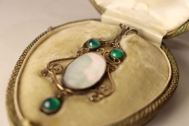
Chipping Campden's museum of craft and design, telling the story of Ashbee's Guild of Handicraft and the makers who followed, with half price for bus passengers.
Rainy days · Car-free
Verified Oct 2026
-
Bantam Tea Rooms
Cafes and tearooms · Chipping Campden
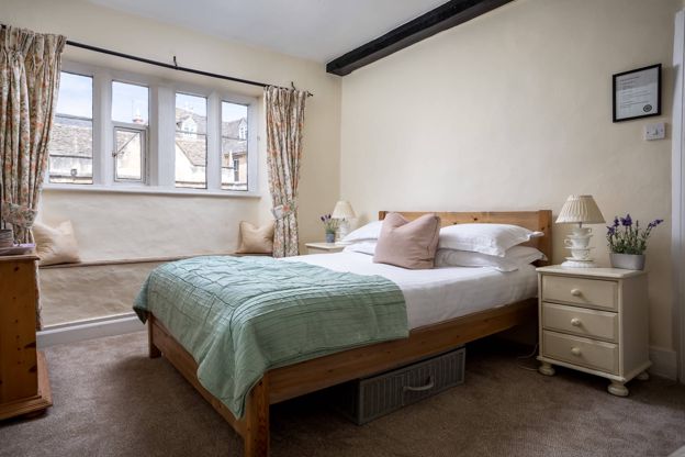
Tea rooms with rooms on the High Street in Chipping Campden, open every day from 9.30am to 5pm.
Verified Oct 2026
-
The Noel Arms Hotel
Inn · Chipping Campden
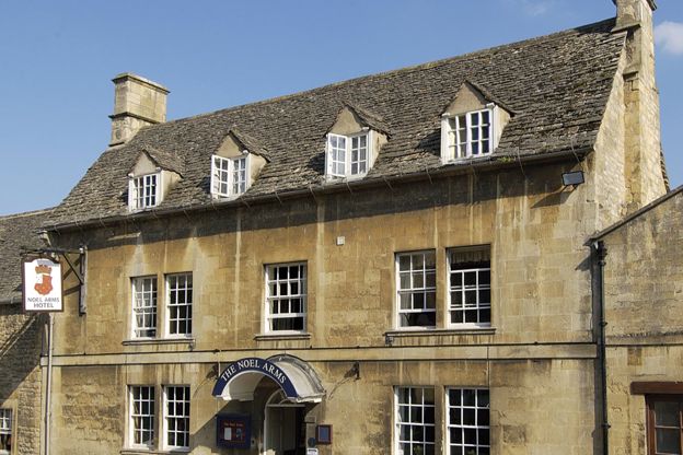
A Grade II listed inn with 27 rooms on Chipping Campden's High Street, with a restaurant, parking, accessible rooms and dogs by arrangement.
Dog-friendly
Verified Oct 2026
-
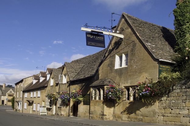
The Eight Bells Inn
Inn · Chipping Campden
A pub with six rooms on Church Street, Chipping Campden, serving lunch and dinner, on Church Street.
Verified Nov 2026
-
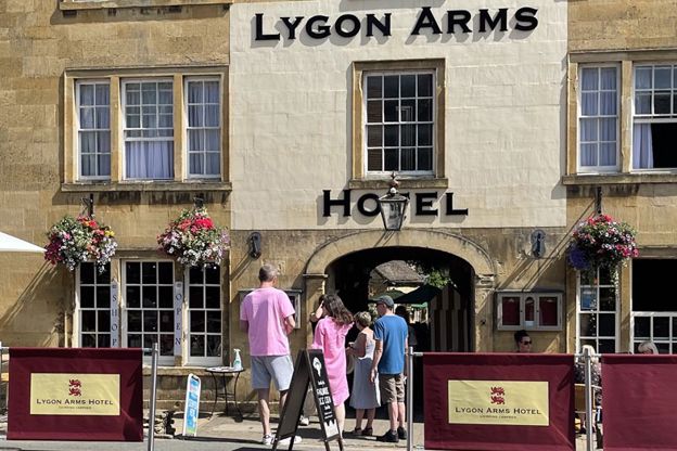
The Lygon Arms, Chipping Campden
Inn · Chipping Campden
A coaching inn with ten rooms on Chipping Campden's High Street, with family rooms, bike storage, free parking at the rear and dogs welcome.
Dog-friendly
Verified Oct 2026
-
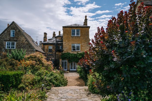
Cotswold House Hotel and Spa
Hotel · Chipping Campden
A Grade II listed Regency town house on Chipping Campden's Upper High Street, now a hotel and spa with the Hidcote restaurant.
Hot tubs · Wedding venues
Verified Nov 2026
Stay near the start
Inns, cottages and hotels within a short drive of where the walk begins, so you can set off early.
Where to stay in Chipping Campden-
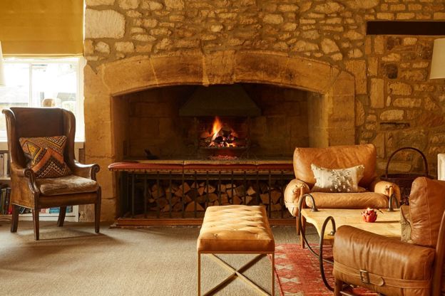
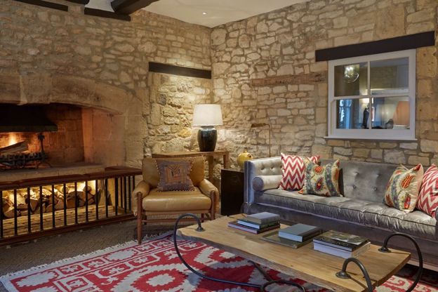
Dormy House
Hotel · Broadway
A hotel and spa on Willersey Hill above Broadway, on the 500-acre Farncombe estate it shares with the Fish and Foxhill Manor, with a pool, hot tub suites and dogs in set rooms.
Dog-friendly · Family-friendly · Hot tubs
Verified Nov 2026
-
The Fish Hotel
Hotel · Broadway
Rooms, suites, huts and three treehouses on a hillside of the Farncombe estate above Broadway, with Hook restaurant by Martin Burge and dogs welcome in set rooms.
Dog-friendly · Family-friendly
Verified Nov 2026
-
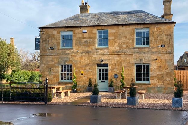
The Seagrave Arms
Inn · Chipping Campden
A seventeenth-century coaching inn with seven rooms at Weston Subedge, about two and a half miles from Chipping Campden, renovated in 2021.
Verified Nov 2026
More like this
Stories on this walk
-
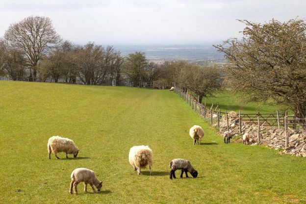
The Cotswold wool trade
Story · History · 9 minute read
How the Cotswold sheep made the hills rich: the medieval export of raw wool through the Staple at Calais, the woolmen of Campden, Northleach and Fairford, the cloth mills of the Stroud valleys, the decline, and where to see it all today.
More walks to try
-

The Cotswold Way
Walk · Dog-friendly
The Cotswold Way is a 102-mile (164km) National Trail walk from Chipping Campden to Bath along the escarpment, in 15 sections; the official guidebook suggests seven to ten days, and its frequent steep climbs make it hard going.
-
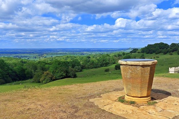
Chipping Campden and Dover's Hill
Walk · Starts in Chipping Campden · 3 hrs, 30 mins · Circular
A 4.5-mile (7.2km) circular walk from the Market Hall in Chipping Campden, two and a half to three and a half hours, moderate with steep sections. It climbs the Cotswold Way to Dover's Hill, home of the Olimpicks, and drops through Lynches Wood; a 3-mile version skips the climbs.
-
Chipping Campden to Blockley
Walk · Starts in Chipping Campden · 3 hrs, 45 mins · Circular
A 9-mile (14.5km) circular walk from the Noel Arms in Chipping Campden to Blockley and back, about three and three quarter hours of moderate walking with 306m of climbing. It goes by Broad Campden, the Monarch's Way and Norcombe Wood, with five stiles and 200m of busy road.