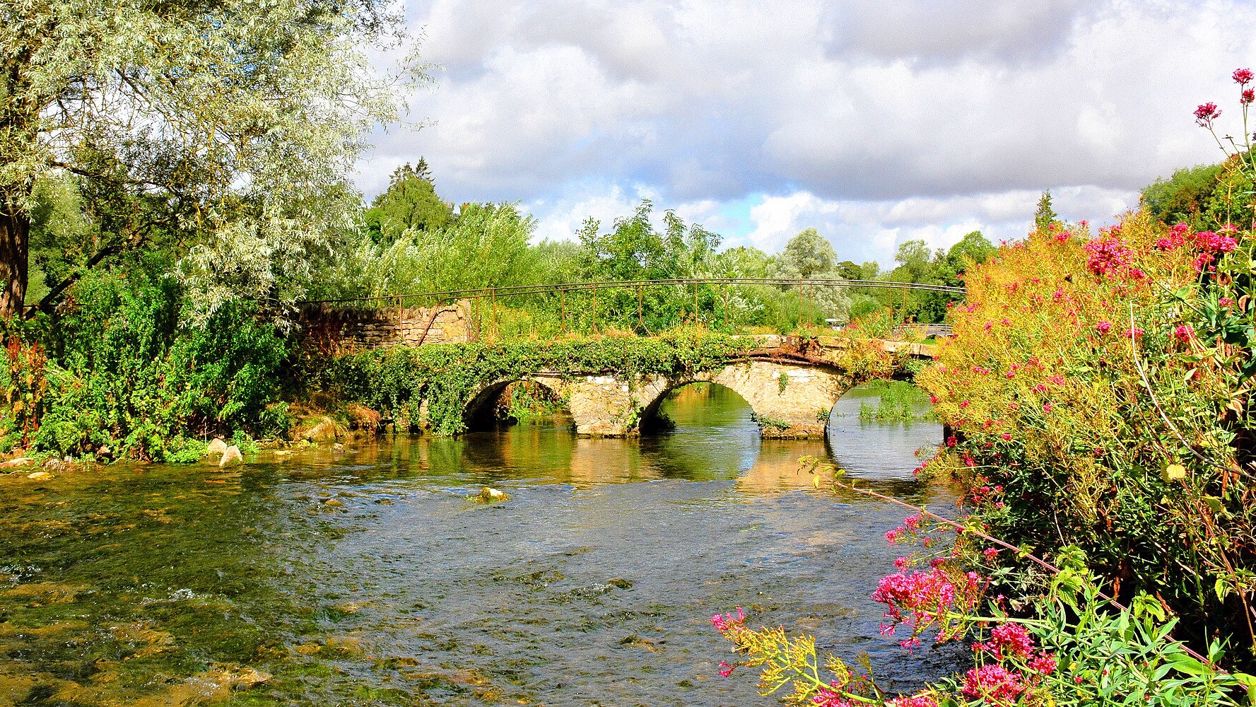
Mike McBey, CC BY 2.0, via Wikimedia Commons
River Coln
The limestone river of the south Cotswolds, rising near Sevenhampton and running south-east past Chedworth, Bibury and Arlington Row, Coln St Aldwyns, Quenington and Fairford to join the Thames at Inglesham above Lechlade. Five of our walks follow or cross it.
The River Coln is a Cotswold river that rises on the high wolds near Sevenhampton and runs south-east through Bibury, Coln St Aldwyns, Quenington and Fairford, to join the Thames at Inglesham, just west of Lechlade. At Bibury it flows past the Swan, Bibury Mill and Arlington Row, the stretch most visitors know.
Course
The Coln is a river of the limestone. The Environmental Change Network, which monitors its water, puts its source at about 200m above sea level near Sevenhampton, east of Cheltenham, from where it flows over the Inferior Oolite and then the Great Oolite, before crossing the Oxford Clay to meet the Thames at about 75m. It has no major tributaries; water is taken from the catchment, and discharges and low flows make its water quality vary along its length.
From the source the river runs south-east past Andoversford and Withington. Between Withington and Fossebridge it passes below Chedworth Roman Villa, and then it comes down past Ablington to Bibury, on to Coln St Aldwyns and Quenington, which face each other across the valley, and Fairford, a market town on its banks. Below Fairford it crosses the flat land to the Thames at Inglesham, where the old Thames and Severn Canal also met the river.
The river at Bibury
Bibury is where most people meet the Coln. The river runs beside the road past the Swan, under a bridge of three oval arches dated 1792 beside Bibury Mill, and past Rack Isle, the water meadow between the river and the leat of Arlington Mill, in front of Arlington Row. The National Trust owns both. The Victoria County History says fulled cloth was evidently dried on Rack Isle, which was linked with Arlington Mill by 1680, and that it became a wildfowl reserve in about 1956; the National Trust says the name comes from the racks on which wool was hung to dry after washing. Arlington Row, across the meadow, is listed as a late fourteenth-century wool store that was altered into weavers' houses in the late seventeenth century.
Bibury Trout Farm is also on the river here; the Environmental Change Network names it as the largest discharge into the Coln, most of it flowing through its fish ponds.
Wildlife and water
The valley around the Coln is mostly farmland, grazed in its upper reaches, with large deciduous woods to the south-west. At Bibury the National Trust looks after Rack Isle as a wildlife habitat and says it is home to water voles, and that you might also see kingfishers, grass snakes and dragonflies there. A small herd of Belted Galloway cattle grazes the meadow in late summer.
Keep to the public paths, as much of the valley is private farmland. The Environmental Change Network names sewage works at Andoversford, Bibury and Fairford as the main sewage inputs to the river.
Walks along the Coln
Five of our walks follow or cross the river:
- Bibury and the River Coln, a 4-mile (6.5km) loop from the bridge by the Swan, crosses it beside the mill and goes up through Oxhill Wood
- Bibury and Ablington, 5 miles (8.2km), goes over the wold to the hamlet of Ablington and comes back along the river
- Bibury, Oxhill Wood and Akeman Street, 4 miles (6.6km), starts at the same bridge and climbs to the Roman road
- Coln St Aldwyns and Bibury, 6.5 miles (10.6km), follows the river upstream from Coln St Aldwyns to Arlington Row on field paths
- Lechlade and St John's Lock, 3 miles (4.8km), goes out to the Round House, where the Coln and the line of the old canal meet the Thames
Visiting
The Coln is free to walk beside wherever a public path runs. In Bibury the National Trust's tarmac path in front of Arlington Row and round Rack Isle is level, narrowing at a small bridge over the mill stream, and dogs are welcome on leads. Bibury is crowded on summer weekends; come early in the morning or out of season, and park with care, as the village has no council car park. Elsewhere the river paths cross fields with stock, gates and stiles. On the Bibury river loop, walkers on AllTrails reported deep mud and slippery paths after heavy rain in November 2025, and cattle in the fields in April 2025 and May 2026.
Nearby
Along the river are Arlington Row and St Mary's Church in Bibury, St John the Baptist's Church in Coln St Aldwyns, the Knights Hospitallers' Gateway in Quenington and St Mary's Church in Fairford, with the Thames at Lechlade at the end. To eat and stay, the Swan stands by the bridge in Bibury, the New Inn is in Coln St Aldwyns, the Keepers Arms in Quenington and the Bull on Fairford's Market Place. Our guide to Cirencester and the Coln valley covers the villages.
Walks past River Coln
-
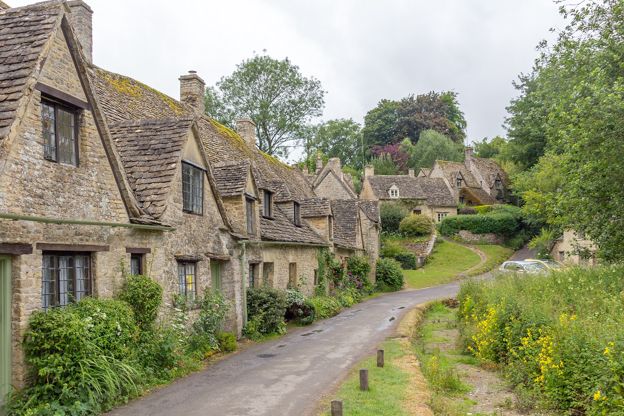
Bibury and Ablington
Walk · Starts in Bibury · 1 hr, 45 mins · Circular
A 5-mile (8.2km) circular walk from Arlington Row in Bibury, an hour and a half to two hours of moderate walking with a few stiles. It goes up Packhorse Lane and the Salt Way over open wold, down to Ablington and its Elizabethan manor, and back beside the River Coln.
-
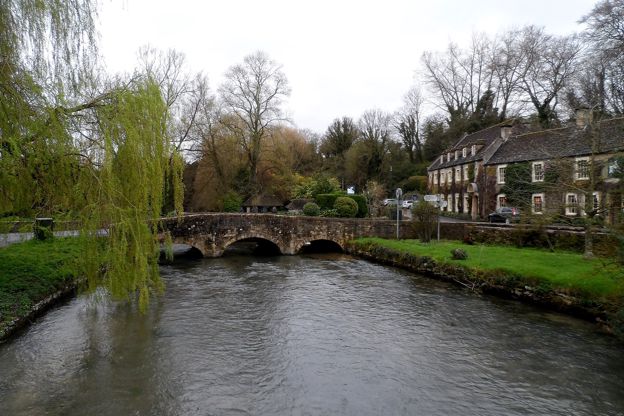
Bibury and the River Coln
Walk · Starts in Bibury · 2 hrs · Circular
A 4-mile (6.5km) circular walk from the bridge by the Swan in Bibury, about two hours with one climb and a muddy stretch. It crosses the Coln below Bibury Court, climbs through Oxhill Wood to the line of Akeman Street, passes a dewpond and returns by Arlington Row.
-
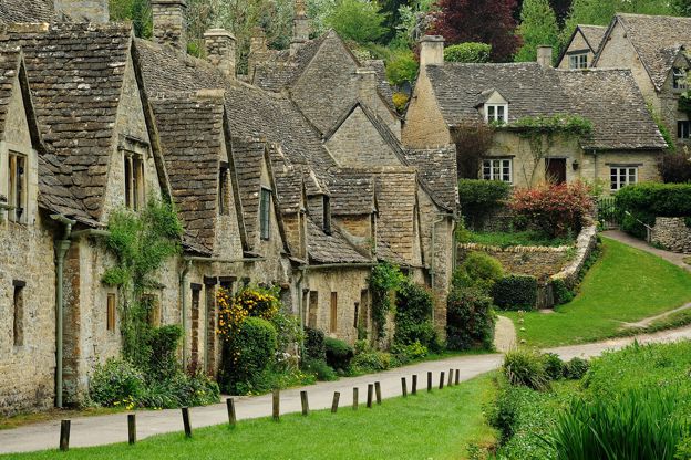
Bibury, Oxhill Wood and Akeman Street
Walk · Starts in Bibury · 1 hr, 45 mins · Circular · Dog-friendly
A 4-mile (6.6km) circular walk from the bridge by the Swan in Bibury, an hour and a half to two hours with a few short, steep climbs. It goes out by the church and up above the Coln to Oxhill Wood, along the line of the Roman Akeman Street and back over farmland to Arlington Row.
Stay and eat near River Coln
-
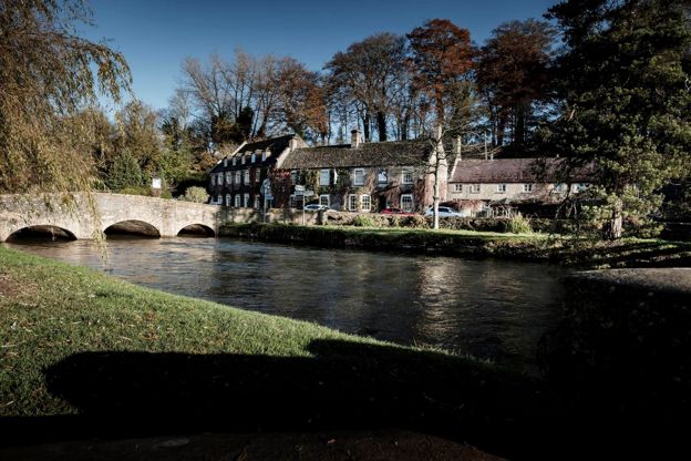
The Swan Hotel
Hotel · Bibury
A former coaching inn by the bridge over the River Coln in Bibury, part of Cotswold Inns and Hotels, with a brasserie, a lift, a free car park and dog-friendly rooms.
Dog-friendly · Wedding venues
Verified Nov 2026
-
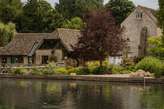
Bibury Trout Farm
Family days out · Bibury
A working trout farm on the River Coln at Bibury, founded in 1902, with a café, a shop, catch-your-own fishing and its own pay car park.
Family-friendly · Dog-friendly
Verified Oct 2026
-
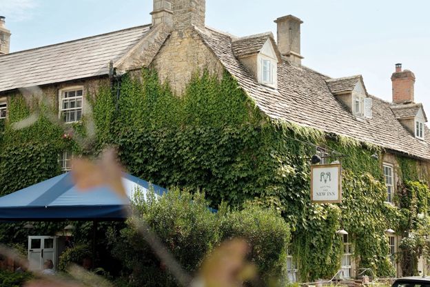
The New Inn
Inn · Coln St Aldwyns
A 16th-century coaching inn with rooms in Coln St Aldwyns, reopened in 2020 by Baz and Fred, with a Garden Suite and food every day.
Verified Nov 2026
Stories about River Coln
-

The Cotswolds with children
Story · Guides · 11 minute read
The Cotswolds with children, by age: the big family days out with how long to allow and what they cost, short walks with a river or a tower, rainy days, farm stays and family rooms, eating out, a sample day and weekend, and the school holiday crowds.
-
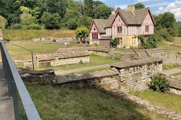
The Roman Cotswolds
Story · Guides · 10 minute read
Corinium at Cirencester, Chedworth Roman Villa, the amphitheatre, the Fosse Way and the villas you can and cannot see: where to find Roman Britain in the Cotswolds, by car and by train.
More sights to see
-
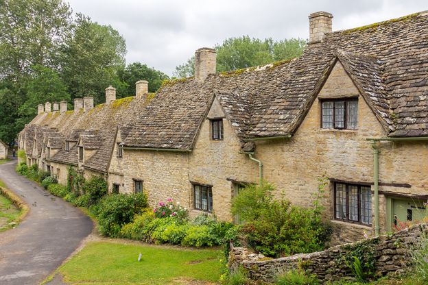
Arlington Row, Bibury
Sight · Historic building · Bibury
Arlington Row is a terrace of stone cottages above the mill stream in Bibury, built as a wool store in the late fourteenth century and turned into weavers' homes in the seventeenth. Grade I and owned by the National Trust, the cottages are lived in and seen from the path.
-
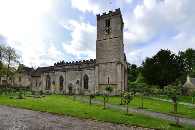
St Mary's Church, Bibury
Sight · Church · Bibury
St Mary's in Bibury is a Saxon church grown over five centuries, with eleventh-century walling, Saxon stones in the chancel, carved capitals of the Oseney canons, the county's earliest stained glass and a Karl Parsons window of 1927. Grade I and open daily.
-
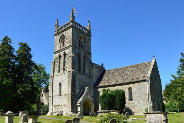
St John the Baptist, Coln St Aldwyns
Sight · Church · Coln St Aldwyns
Coln St Aldwyns' parish church: a late Norman doorway of chevrons, a demon carved over a blocked window, a two-tier chandelier of about 1767, and windows remembering the two John Kebles, father and son, who served here. Grade II*.