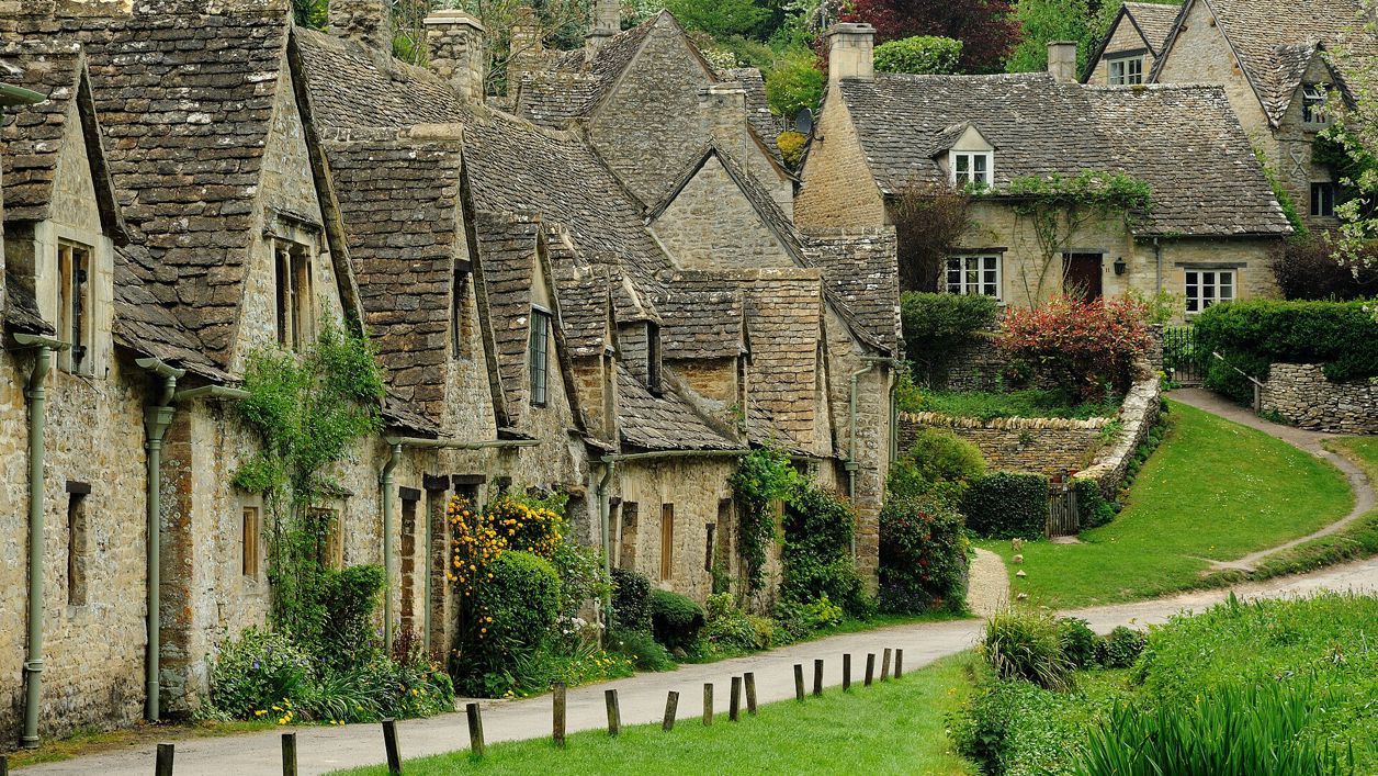
Saffron Blaze, CC BY-SA 3.0, via Wikimedia Commons
Bibury, Oxhill Wood and Akeman Street
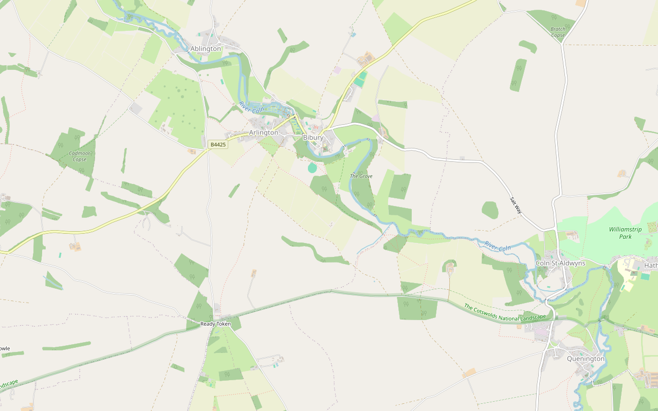
A 4-mile (6.6km) circular walk from the bridge by the Swan in Bibury, an hour and a half to two hours with a few short, steep climbs. It goes out by the church and up above the Coln to Oxhill Wood, along the line of the Roman Akeman Street and back over farmland to Arlington Row.
- Distance
- 6.6 km (4.1 mi)
- Difficulty
- Moderate
- Time
- 1 hr, 45 mins
- Ascent
- 102 m
- Circular
- Circular
The route
Starts at The bridge over the Coln by the Swan, Bibury Muddy in winterSteep sectionLivestock in fields Download GPX
Step by step
-
Step 1: Through Bibury to the church
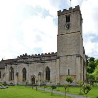
From the bridge by the Swan, follow the paved path beside the River Coln south-east through the village, then Church Road past the village hall and St Mary's. Follow the lane to the main road, walk along it and the side road beyond for a short way with care, and turn into the lane that becomes a public bridleway.
-
Step 2: Up to Oxhill Wood
The bridleway climbs south-east above the river, past Mill Copse, to a footpath through Oxhill Wood. Beyond the wood, the footpaths run on across the fields to a track that leads south to Coneygar Road.
- Steep section
- Muddy in winter
-
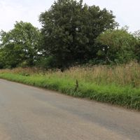
Step 3: Along Akeman Street
Turn west along Coneygar Road, on the line of the Roman Akeman Street, for a short way past Coneygar Wood, then take the footpath and the long byway north-west across open farmland, past Shagborough Copse. It is exposed up here and can be windy.
- Muddy in winter
-
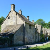
Step 4: Down to Arlington Row
The byway turns north as a footpath and drops towards Arlington, past the meadow at Green Bank. Walk down Awkward Hill and along Arlington Row, then over the footbridge by Rack Isle back to the road and the start.
- Steep section
Sights on the way
The sights this walk passes, numbered as on the map.
-
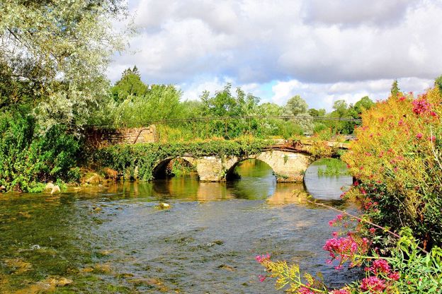
River Coln
Sight · River · Cirencester and the Coln Valley
The limestone river of the south Cotswolds, rising near Sevenhampton and running south-east past Chedworth, Bibury and Arlington Row, Coln St Aldwyns, Quenington and Fairford to join the Thames at Inglesham above Lechlade. Five of our walks follow or cross it.
-
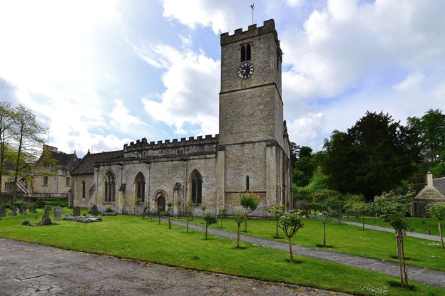
St Mary's Church, Bibury
Sight · Church · Bibury
St Mary's in Bibury is a Saxon church grown over five centuries, with eleventh-century walling, Saxon stones in the chancel, carved capitals of the Oseney canons, the county's earliest stained glass and a Karl Parsons window of 1927. Grade I and open daily.
-
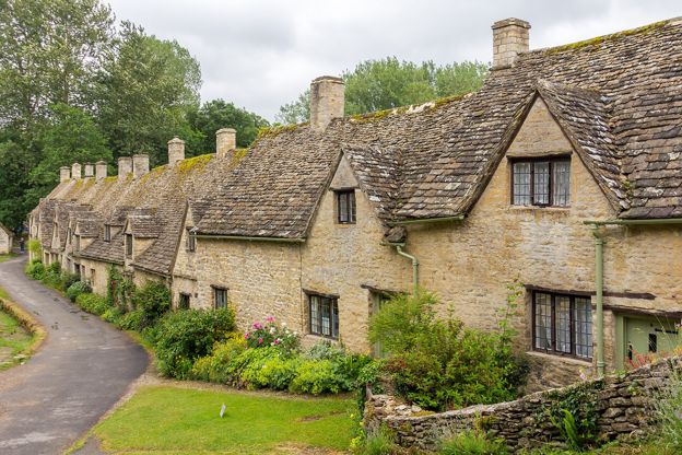
Arlington Row, Bibury
Sight · Historic building · Bibury
Arlington Row is a terrace of stone cottages above the mill stream in Bibury, built as a wool store in the late fourteenth century and turned into weavers' homes in the seventeenth. Grade I and owned by the National Trust, the cottages are lived in and seen from the path.
The walk in detail
The Bibury, Oxhill Wood and Akeman Street walk is a 4-mile (6.6km) circular route from the bridge by the Swan in Bibury. It takes an hour and a half to two hours, with about 102m of short, steep climbs, and follows the line of a Roman road above the River Coln before coming back down to Arlington Row.
It covers much of the same ground as our Bibury and the River Coln walk from the National Landscape's leaflet, on a slightly different line.
Bibury before the crowds
The best time to start is early or midweek, because Bibury is busy and the crowds stay in the village. It takes up to 20,000 visitors on a peak weekend, by press estimates that a county council report repeats, and walkers on this loop describe the start as packed and parking as the hardest part of the day. Within a few minutes of leaving the village the crowds thin out, and several walkers who started at 7am or midweek in winter had the paths almost to themselves. Our guide to the Cotswolds without the crowds has more on when to come.
The Swan, where the walk starts, is a coaching inn recorded as an inn from 1672 and said to have held the manor courts, with the village lock-up just north of it. Beside the bridge is Bibury Trout Farm, founded in 1902. St Mary's church, Grade I, has Saxo-Norman fabric of the mid to late eleventh century, enlarged in the late twelfth and early thirteenth.
Bibury Court and the mill
The two big buildings by the river at the start of the climb are Bibury Court and Bibury Mill. Close to the church, Bibury Court is a large house of the late sixteenth century with a range dated 1633 for Sir Thomas Sackville, whose arms are over the doorway and whose initials are carved in the porch; it is listed Grade I, and it was converted to a hotel in 1968. Bibury Mill is recorded from 1608; it was still grinding corn in 1920 and disused by 1934.
Akeman Street
The Roman part of the walk is a short stretch of Coneygar Road at the top of the climb, which runs on the line of Akeman Street. Here the Roman road marks the southern edge of Bibury parish, on its way west to Cirencester, and our story on the Roman Cotswolds follows it across the county. The byway back runs over high, open farmland, where walkers mention wind, birds of prey and long views back to the village.
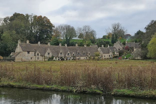
Arlington Row and Rack Isle
The loop ends along Arlington Row, a Grade I terrace built in the late fourteenth century as a wool store and turned into weavers' cottages in the late seventeenth. The Royal Society of Arts repaired it in 1929 and the National Trust, which owns it, restored it in the early 1970s; the cottages are private homes. Rack Isle opposite is the Trust's water meadow, and the Trust asks for dogs on leads on the path in front of the Row and round the meadow. You will often read that William Morris called Bibury the most beautiful village in England, but as our piece on William Morris explains, nobody has found where he said it.

The Cotswolds Info newsletter
Events, new places and the best of the season, about once a month. Unsubscribe at any time.
What walkers report
Walkers rate the climbs as a few short hills rather than anything hard, but warn of steep dirt sections that are slippery in the wet. Walkers found the paths deep in mud after heavy rain in November 2025 and again in January 2026, so wear boots from autumn to spring. The fields can hold livestock, so keep dogs close. There is nowhere to buy food or drink once you leave the village.
Parking, toilets and the bus
The bus is the easiest way to this walk, because parking in Bibury is scarce. There is no council car park, and 651 parking penalty notices were issued in the village in 2025, against 28 in 2019. Walkers describe the paid car parks as busy and expensive, so come early or take the 855 bus from Cirencester or Bourton, Monday to Saturday; our page on the Cotswolds without a car has more. The public toilets are on The Street (50p).
Longer walks from Bibury
Two other loops start close by. Bibury and Ablington heads up the Coln the other way, over the wold to an Elizabethan manor, and the loop from Coln St Aldwyns shares this one's southern half.
Places on the way
-
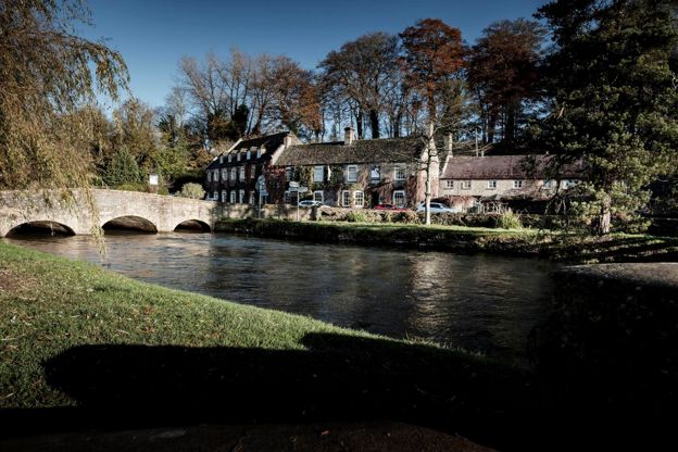
The Swan Hotel
Hotel · Bibury
A former coaching inn by the bridge over the River Coln in Bibury, part of Cotswold Inns and Hotels, with a brasserie, a lift, a free car park and dog-friendly rooms.
Dog-friendly · Wedding venues
Verified Nov 2026
-
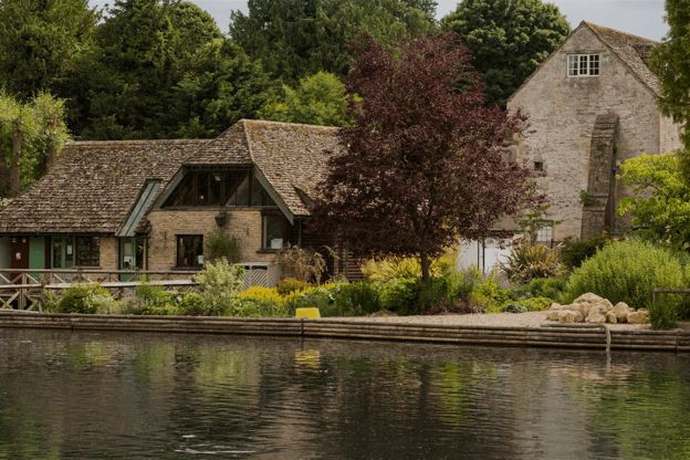
Bibury Trout Farm
Family days out · Bibury
A working trout farm on the River Coln at Bibury, founded in 1902, with a café, a shop, catch-your-own fishing and its own pay car park.
Family-friendly · Dog-friendly
Verified Oct 2026
Stay near the start
Inns, cottages and hotels within a short drive of where the walk begins, so you can set off early.
Where to stay in Bibury-
9 Arlington Row
Self-catering · Bibury
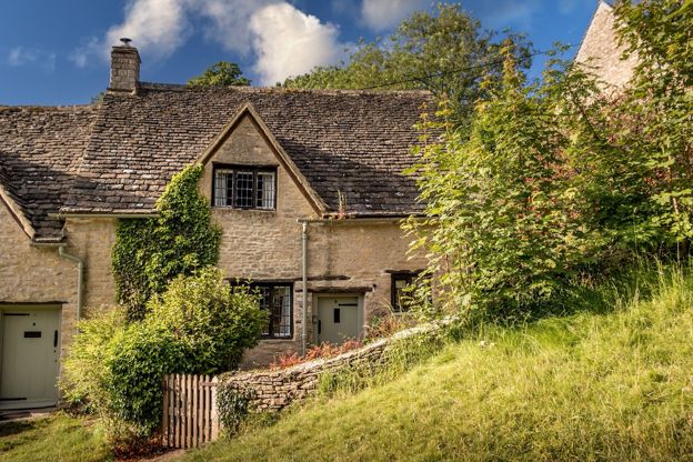
The National Trust's holiday cottage in Arlington Row, Bibury: a two-bedroom former weaver's cottage for three, with a wood burner and a private garden behind the famous terrace.
Verified Oct 2026
-
Cotteswold House
B&B · Bibury
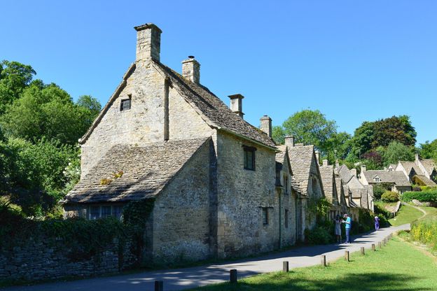
A renovated guest house in Arlington, Bibury, a short walk from Arlington Row, with double rooms, a family suite and two self-catering cottages, and a cooked breakfast for those in the rooms.
Verified Oct 2026
-
The New Inn
Inn · Coln St Aldwyns
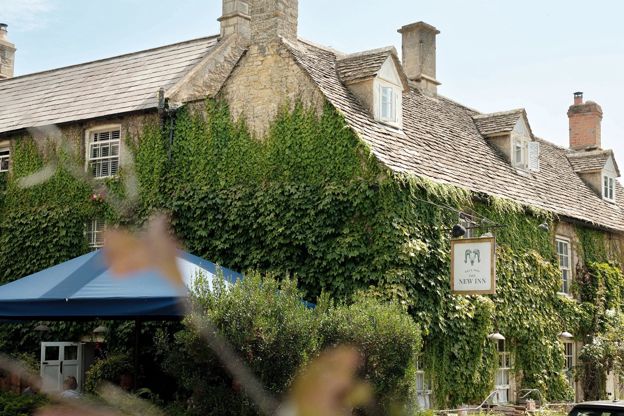
A 16th-century coaching inn with rooms in Coln St Aldwyns, reopened in 2020 by Baz and Fred, with a Garden Suite and food every day.
Verified Nov 2026
More like this
Stories on this walk
-
The Roman Cotswolds
Story · Guides · 10 minute read
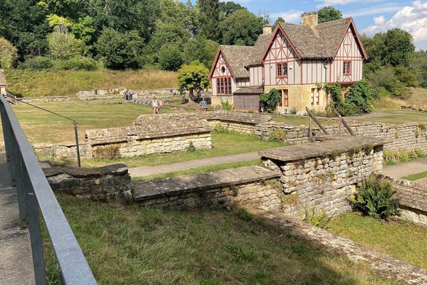
Corinium at Cirencester, Chedworth Roman Villa, the amphitheatre, the Fosse Way and the villas you can and cannot see: where to find Roman Britain in the Cotswolds, by car and by train.
More walks to try
-
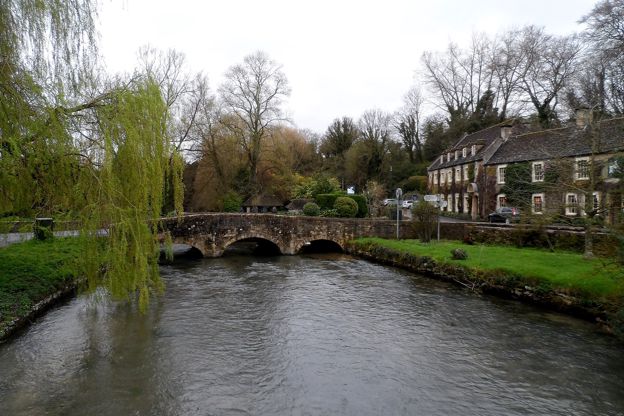
Bibury and the River Coln
Walk · Starts in Bibury · 2 hrs · Circular
A 4-mile (6.5km) circular walk from the bridge by the Swan in Bibury, about two hours with one climb and a muddy stretch. It crosses the Coln below Bibury Court, climbs through Oxhill Wood to the line of Akeman Street, passes a dewpond and returns by Arlington Row.
-
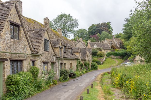
Bibury and Ablington
Walk · Starts in Bibury · 1 hr, 45 mins · Circular
A 5-mile (8.2km) circular walk from Arlington Row in Bibury, an hour and a half to two hours of moderate walking with a few stiles. It goes up Packhorse Lane and the Salt Way over open wold, down to Ablington and its Elizabethan manor, and back beside the River Coln.
-
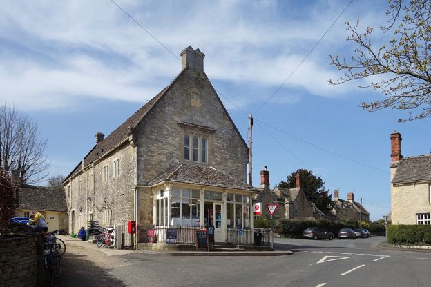
Coln St Aldwyns and Bibury
Walk · Starts in Coln St Aldwyns · 2 hrs, 45 mins · Circular · Dog-friendly
A 6.5-mile (10.6km) circular walk from Coln St Aldwyns, moderate and two and a half to three hours: up the River Coln and through Oxhill Wood to Bibury and Arlington Row, then back over the open wold by the Roman Akeman Street to the village pub and shop.