Mike Peel, CC BY-SA 4.0, via Wikimedia Commons
Bibury and Ablington
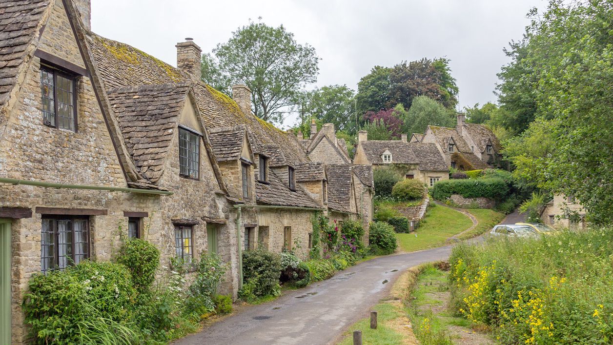
A 5-mile (8.2km) circular walk from Arlington Row in Bibury, an hour and a half to two hours of moderate walking with a few stiles. It goes up Packhorse Lane and the Salt Way over open wold, down to Ablington and its Elizabethan manor, and back beside the River Coln.
- Distance
- 8.2 km (5.1 mi)
- Difficulty
- Moderate
- Time
- 1 hr, 45 mins
- Ascent
- 107 m
- Circular
- Circular
The route
Starts at Arlington Row and Rack Isle, Bibury Muddy in winterStilesLivestock in fields Download GPX
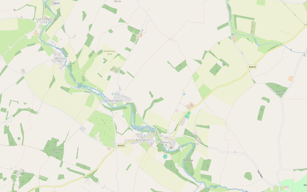
Step by step
-
Step 1: Out of Bibury by Packhorse Lane
From Arlington Row, cross by Rack Isle and walk through the village by Church Road. Turn up Packhorse Lane, a public bridleway, and follow it north out of the village as a farm track.
-
Step 2: North to the Salt Way
The bridleway runs north across the fields past Hale Barn to meet the Salt Way, a restricted byway. Turn north along it over open, exposed farmland; walkers report mud in wet weather.
- Muddy in winter
-
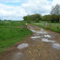
Step 3: West to Ablington
Where the byways meet, turn south-west on the restricted byway past Gore Hill Covert, a long straight track across the fields. It meets a lane; follow the lane south-west down into Ablington.
- Muddy in winter
-
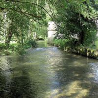
Step 4: Through Ablington to the Coln
Walk through the hamlet past its old cottages by the river. At the west end, take the public footpath south-east, which follows the valley of the River Coln back towards Arlington. Walkers report cattle and sheep in the fields.
- Dogs on lead
-
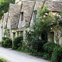
Step 5: Arlington and back to the Row
The footpath comes into Arlington by the Baptist chapel. Follow the footpaths on past Green Bank, down to Arlington Row and the start.
Sights on the way
The sights this walk passes, numbered as on the map.
-
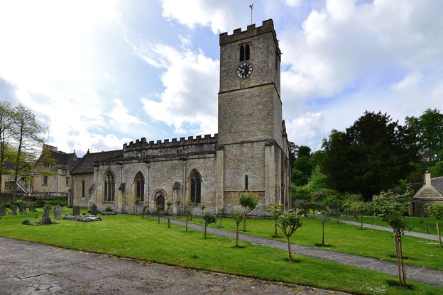
St Mary's Church, Bibury
Sight · Church · Bibury
St Mary's in Bibury is a Saxon church grown over five centuries, with eleventh-century walling, Saxon stones in the chancel, carved capitals of the Oseney canons, the county's earliest stained glass and a Karl Parsons window of 1927. Grade I and open daily.
-
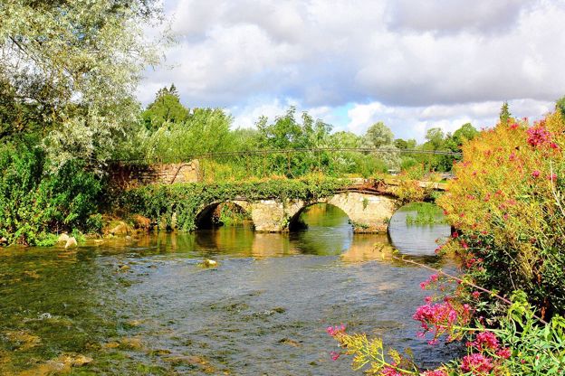
River Coln
Sight · River · Cirencester and the Coln Valley
The limestone river of the south Cotswolds, rising near Sevenhampton and running south-east past Chedworth, Bibury and Arlington Row, Coln St Aldwyns, Quenington and Fairford to join the Thames at Inglesham above Lechlade. Five of our walks follow or cross it.
-
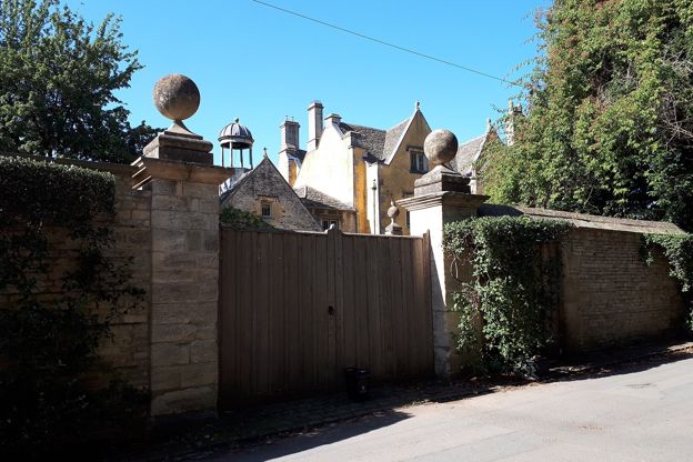
Ablington Manor
Sight · Historic building · Bibury
Ablington Manor is an Elizabethan house in the hamlet of Ablington near Bibury, dated 1590 for John Coxwell, with five carved royal heads over its porch. Listed Grade I and a private home, it is seen from the lane through the hamlet.
-
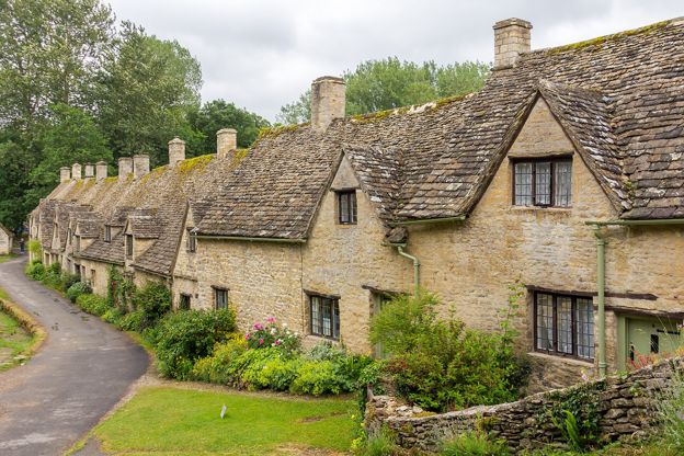
Arlington Row, Bibury
Sight · Historic building · Bibury
Arlington Row is a terrace of stone cottages above the mill stream in Bibury, built as a wool store in the late fourteenth century and turned into weavers' homes in the seventeenth. Grade I and owned by the National Trust, the cottages are lived in and seen from the path.
The walk in detail
The Bibury and Ablington walk is a 5-mile (8.2km) circular route from Arlington Row in Bibury, over the wold to the hamlet of Ablington and back along the River Coln. It is moderate, with 107m of climbing and a few stiles, and takes up to two hours, with the Catherine Wheel pub in Arlington near the end.
Packhorse Lane and the Salt Way
The first half of the walk is long, straight byways across open fields, with little shelter. The route leaves Bibury by Packhorse Lane, now a bridleway, and joins the Salt Way, which OpenStreetMap names along the restricted byway north of the village. Up here the land is open arable, and walkers describe it as exposed to the weather, with no shade.
Ablington
Ablington is a hamlet of Bibury parish on the Coln, and its manor of 1590 is the reason to come this way. Ablington Manor, listed Grade I, was built for John Coxwell. Its porch is the thing to see: over the arch are five carved heads, which the listing identifies as Queen Elizabeth with Mary and Henry VIII beside her, and Philip of Spain and James I at the ends, and above them Coxwell's inscription asking the Lord to plead his cause, with the year. Ablington House nearby is a mid seventeenth-century house with two gables and ball finials, and the two-arched bridge over the Coln west of the manor, early nineteenth century, carries its drive.
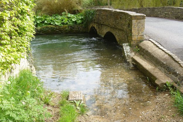
Down the Coln to Arlington
The second half follows the river. From Ablington the footpath follows the Coln valley back to Arlington, also in Bibury parish, coming in by the Baptist chapel. Arlington Row at the end of the walk is a Grade I terrace built in the late fourteenth century as a wool store and turned into weavers' cottages in the late seventeenth, now owned by the National Trust and lived in.
The Royal Society of Arts repaired the Row in 1929 and the National Trust restored it in the early 1970s; two of the cottages are Trust holiday lets, the rest private homes, so there is no access to them or their gardens. Opposite is Rack Isle, the Trust's water meadow, with a level path in front of the Row and round the meadow that narrows in places and crosses the mill stream on a small bridge. Dogs go on leads there.

The Cotswolds Info newsletter
Events, new places and the best of the season, about once a month. Unsubscribe at any time.
What walkers report
Reviews of this one are mixed, and most of the complaints are about the first 3 miles. Several walkers found that half samey, open to the weather and mostly through crop fields, and the paths are boggy after rain, with heavy mud reported in the winters and early springs of 2025 and 2026. There are cattle and sheep in the fields, so dogs go on a lead, and walkers report a few stone stiles that are awkward with a dog: one counted two with dog gates and two by a farm where a dog has to be lifted over. Carry the map. Our guide to the Cotswolds with a dog has general advice on livestock.
Food, parking and the bus
There is nothing to eat on the way, so plan to eat at the end. The Catherine Wheel on the main road in Arlington, an early seventeenth-century house that is now a pub, is close to the end of the walk (ring 01285 740250 to check food times); back in Bibury there is the Swan by the bridge or Bibury Trout Farm, which has a café. Parking in Bibury is the problem: there is no council car park, and walkers report limited free roadside spaces. The public toilets are on The Street (50p). The 855 bus runs from Cirencester and Bourton, Monday to Saturday, as our guide to the Cotswolds without a car explains.
Other walks from Bibury
Bibury has two shorter loops south of the village and a longer one down the valley. Bibury, Oxhill Wood and Akeman Street and the National Landscape's Bibury and the River Coln cover the other side of the valley, and the loop from Coln St Aldwyns follows the Coln down to the next village. Our guide to the Coln valley covers the villages downstream.
Places on the way
-
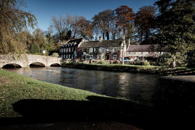
The Swan Hotel
Hotel · Bibury
A former coaching inn by the bridge over the River Coln in Bibury, part of Cotswold Inns and Hotels, with a brasserie, a lift, a free car park and dog-friendly rooms.
Dog-friendly · Wedding venues
Verified Nov 2026
-
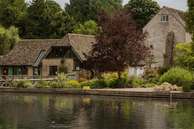
Bibury Trout Farm
Family days out · Bibury
A working trout farm on the River Coln at Bibury, founded in 1902, with a café, a shop, catch-your-own fishing and its own pay car park.
Family-friendly · Dog-friendly
Verified Oct 2026
Stay near the start
Inns, cottages and hotels within a short drive of where the walk begins, so you can set off early.
Where to stay in Bibury-
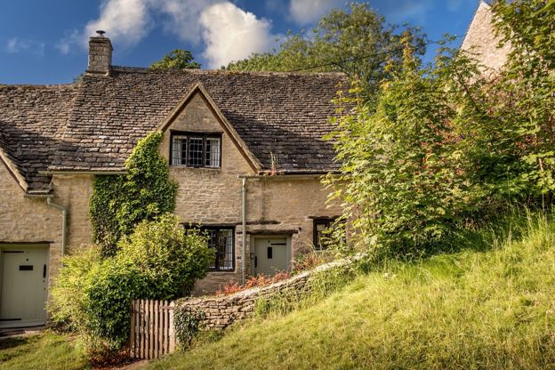
9 Arlington Row
Self-catering · Bibury
The National Trust's holiday cottage in Arlington Row, Bibury: a two-bedroom former weaver's cottage for three, with a wood burner and a private garden behind the famous terrace.
Verified Oct 2026
-
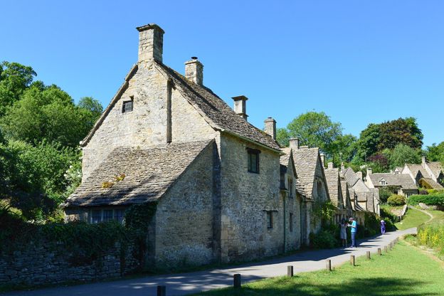
Cotteswold House
B&B · Bibury
A renovated guest house in Arlington, Bibury, a short walk from Arlington Row, with double rooms, a family suite and two self-catering cottages, and a cooked breakfast for those in the rooms.
Verified Oct 2026
-
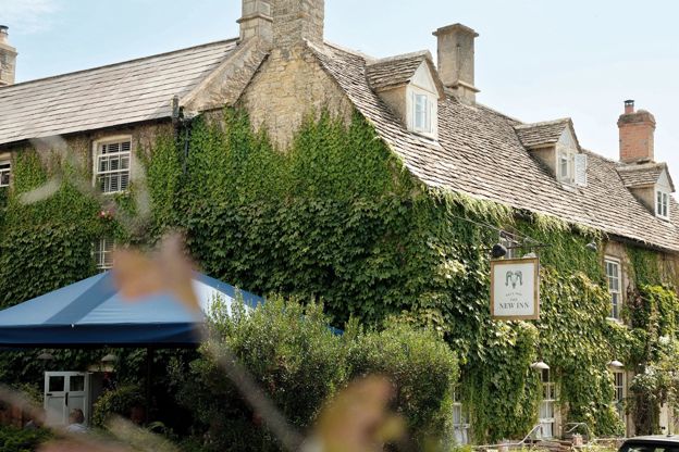
The New Inn
Inn · Coln St Aldwyns
A 16th-century coaching inn with rooms in Coln St Aldwyns, reopened in 2020 by Baz and Fred, with a Garden Suite and food every day.
Verified Nov 2026
More like this
More walks to try
-
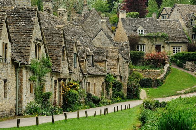
Bibury, Oxhill Wood and Akeman Street
Walk · Starts in Bibury · 1 hr, 45 mins · Circular · Dog-friendly
A 4-mile (6.6km) circular walk from the bridge by the Swan in Bibury, an hour and a half to two hours with a few short, steep climbs. It goes out by the church and up above the Coln to Oxhill Wood, along the line of the Roman Akeman Street and back over farmland to Arlington Row.
-
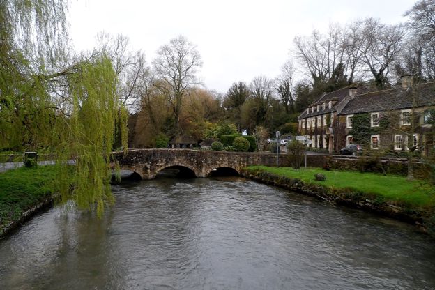
Bibury and the River Coln
Walk · Starts in Bibury · 2 hrs · Circular
A 4-mile (6.5km) circular walk from the bridge by the Swan in Bibury, about two hours with one climb and a muddy stretch. It crosses the Coln below Bibury Court, climbs through Oxhill Wood to the line of Akeman Street, passes a dewpond and returns by Arlington Row.
-
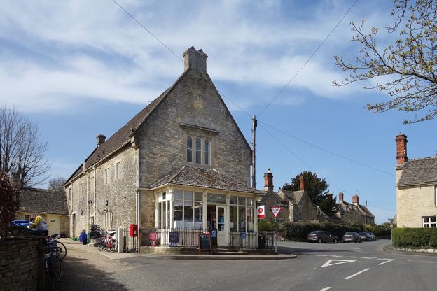
Coln St Aldwyns and Bibury
Walk · Starts in Coln St Aldwyns · 2 hrs, 45 mins · Circular · Dog-friendly
A 6.5-mile (10.6km) circular walk from Coln St Aldwyns, moderate and two and a half to three hours: up the River Coln and through Oxhill Wood to Bibury and Arlington Row, then back over the open wold by the Roman Akeman Street to the village pub and shop.