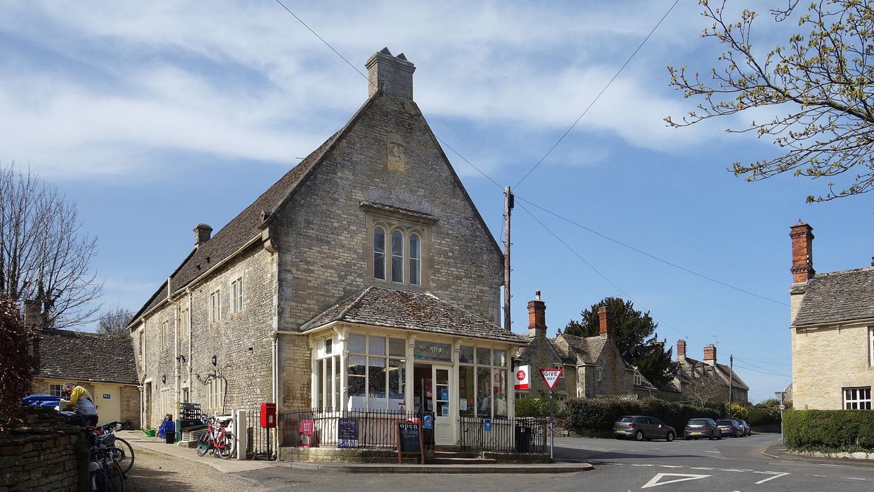
Des Blenkinsopp, CC BY-SA 2.0, via Wikimedia Commons
Coln St Aldwyns and Bibury
A 6.5-mile (10.6km) circular walk from Coln St Aldwyns, moderate and two and a half to three hours: up the River Coln and through Oxhill Wood to Bibury and Arlington Row, then back over the open wold by the Roman Akeman Street to the village pub and shop.
- Distance
- 10.6 km (6.6 mi)
- Difficulty
- Moderate
- Time
- 2 hrs, 45 mins
- Ascent
- 139 m
- Circular
- Circular
The route
Starts at Coln Community Stores, Main Street, Coln St Aldwyns Muddy in winterLivestock in fieldsStilesCafé on route Download GPX
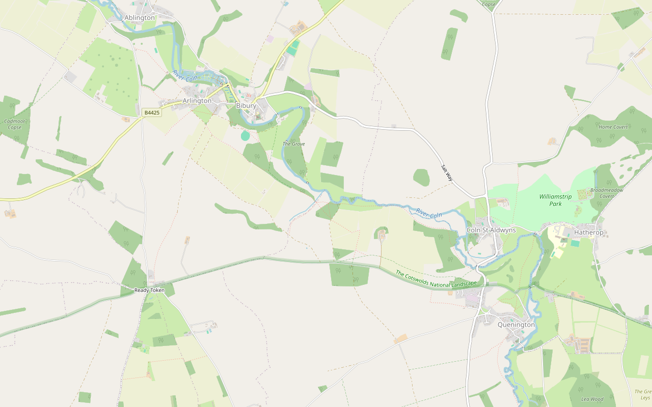
Step by step
-
Step 1: Down to the Coln
From the stores on Main Street, walk south-west out of the village on the lane, then take the public footpath down to the river. Follow the footpath and a short paved drive to the start of the long riverside path.
- Café
-
Step 2: Up the valley towards Bibury
Follow the footpath west along the valley of the Coln for about 1.4 miles (2.2km), through fields and the edge of the woods. The path then climbs away from the river.
- Muddy in winter
- Dogs on lead
-
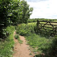
Step 3: Through Oxhill Wood into Bibury
Take the footpath up through Oxhill Wood and join the bridleway north past Mill Copse, which becomes a lane and drops to the main road on the edge of Bibury. Walk along the road with care, then by Church Road past the village hall and St Mary's to the river and across to Arlington Row.
- Café
-
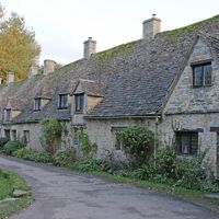
Step 4: Up Awkward Hill and over the wold
From the Row, climb Awkward Hill and take the footpath south past Green Bank, then the long restricted byway south-east across open farmland past Shagborough Copse to Coneygar Road, on the line of Akeman Street.
- Muddy in winter
-
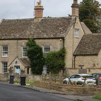
Step 5: East to Coln St Aldwyns
Follow the road a short way east and take the bridleway on past Coneygar Wood, Fox Covert and Fir Copse, with fields of stock in the last mile or so. It comes down to the footpath you set out on; turn up it to the lane and back into the village.
- Dogs on lead
Sights on the way
The sights this walk passes, numbered as on the map.
-
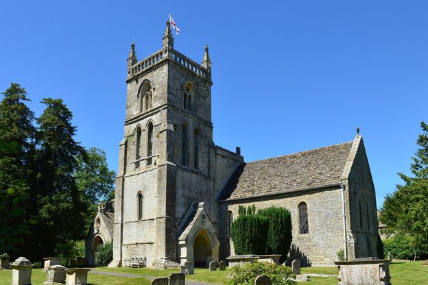
St John the Baptist, Coln St Aldwyns
Sight · Church · Coln St Aldwyns
Coln St Aldwyns' parish church: a late Norman doorway of chevrons, a demon carved over a blocked window, a two-tier chandelier of about 1767, and windows remembering the two John Kebles, father and son, who served here. Grade II*.
-
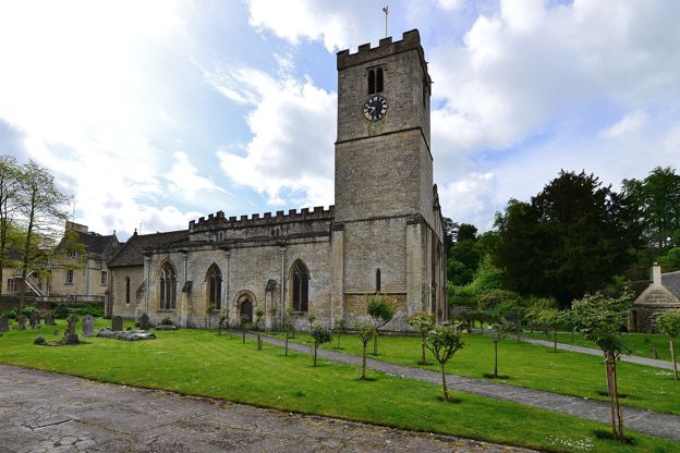
St Mary's Church, Bibury
Sight · Church · Bibury
St Mary's in Bibury is a Saxon church grown over five centuries, with eleventh-century walling, Saxon stones in the chancel, carved capitals of the Oseney canons, the county's earliest stained glass and a Karl Parsons window of 1927. Grade I and open daily.
-
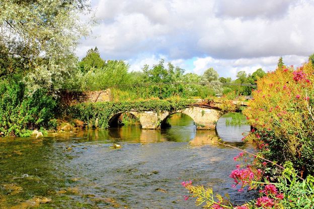
River Coln
Sight · River · Cirencester and the Coln Valley
The limestone river of the south Cotswolds, rising near Sevenhampton and running south-east past Chedworth, Bibury and Arlington Row, Coln St Aldwyns, Quenington and Fairford to join the Thames at Inglesham above Lechlade. Five of our walks follow or cross it.
-
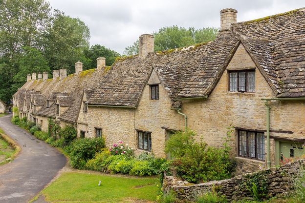
Arlington Row, Bibury
Sight · Historic building · Bibury
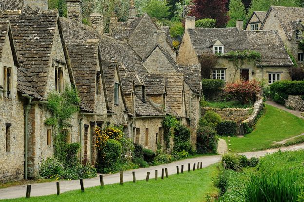
Arlington Row is a terrace of stone cottages above the mill stream in Bibury, built as a wool store in the late fourteenth century and turned into weavers' homes in the seventeenth. Grade I and owned by the National Trust, the cottages are lived in and seen from the path.
The walk in detail
The Coln St Aldwyns and Bibury walk is a 6.5-mile (10.6km) circular walk from Coln St Aldwyns up the River Coln to Arlington Row in Bibury, and back over the wold. It is moderate, with about 139m of climbing in short pulls, takes two and a half to three hours, and starts and ends by the New Inn.
Starting from Coln rather than Bibury means easier parking, the pub and shop at both ends, and Bibury in the middle of the walk, when you can choose how long to spend in the crowds. Our guide to the Cotswolds without the crowds also points walkers from Bibury down the Coln to this village.
Coln St Aldwyns
Coln St Aldwyns has a Norman church, a pub with rooms and a community shop, all a few minutes from the start. St John the Baptist in the village is late twelfth and thirteenth century, heavily restored in the 1850s and 1860s and listed Grade II*, with a south doorway carved in rows of chevrons under a hoodmould ending in beasts' heads. Look to the right of the porch for a small blocked window whose head is carved with a demon chasing a man. The tower is said to carry the initials of John de Gamages, abbot of Gloucester from 1284 to 1306. John Keble the elder was vicar here, with his son, the poet and churchman, as his curate.
Williamstrip Park, in the parish, is a house of about 1700 altered by John Soane in 1791. In the village, the mill by the river carries a datestone of 1858, and the New Inn, a late eighteenth-century house turned pub, has rooms. Coln Community Stores on Main Street, the village shop, café and post office, has been a community society since 2012 and is owned by more than 250 local shareholders; when we checked, its café opened 8am to 3.30pm on weekdays, 8am to 1pm on Saturdays and 9am to 1pm on Sundays, with tables in the garden.
Up the Coln to Bibury
The outward half follows the Coln on field paths, through woodland edges and fields of sheep. It climbs through Oxhill Wood and comes into Bibury by the church. St Mary's there is Grade I, with Saxo-Norman fabric of the eleventh century, and the walk crosses to Arlington Row, a late fourteenth-century wool store turned into weavers' cottages in the late seventeenth century, owned by the National Trust.
Bibury takes up to 20,000 visitors on a busy weekend, by press estimates, and some walkers on this loop skip the village centre. The Swan by the bridge, a coaching inn recorded from 1672, and Bibury Trout Farm, which has a café, are both a few minutes off the route, and Eleven Bibury on The Street is a café open every day from 9am to 5pm. The village’s public toilets are on The Street too (50p).
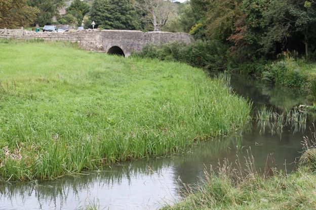
Back over the wold
The way home is over open farmland on an old byway, with no villages until Coln. The return climbs Awkward Hill out of Arlington and runs south-east on an old byway to Coneygar Road, which follows the line of Akeman Street, the Roman road that marks the southern edge of Bibury parish on its way west to Cirencester; our story on the Roman Cotswolds traces it. The last mile or so is a bridleway along the edge of the woods back to Coln, where walkers report cows, sheep and horses.

The Cotswolds Info newsletter
Events, new places and the best of the season, about once a month. Unsubscribe at any time.
What walkers report
Expect mud after rain: the National Landscape warns that Oxhill Wood is muddy at times. Walkers describe the climbs as short. Most field boundaries are crossed by gates; we have not walked the route to count stiles. Take water: there are no shops on the open stretches between the villages.
Parking and other walks
There is no car park on the Coln St Aldwyns walk: you park on the road in the village. Walkers leave cars near the shop, and there are no public toilets in the village; the nearest are on The Street in Bibury. For a shorter walk from Bibury, Bibury, Oxhill Wood and Akeman Street shares this loop's middle, and Bibury and the River Coln is the National Landscape's version. Downstream, the Quenington to Fairford walk follows the Coln on to Fairford.
Places on the way
-
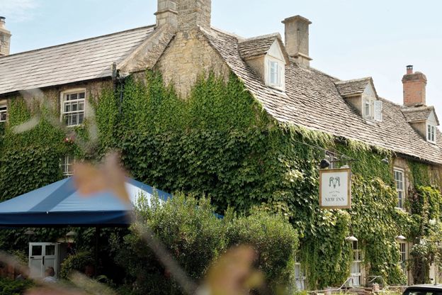
The New Inn
Inn · Coln St Aldwyns
A 16th-century coaching inn with rooms in Coln St Aldwyns, reopened in 2020 by Baz and Fred, with a Garden Suite and food every day.
Verified Nov 2026
-
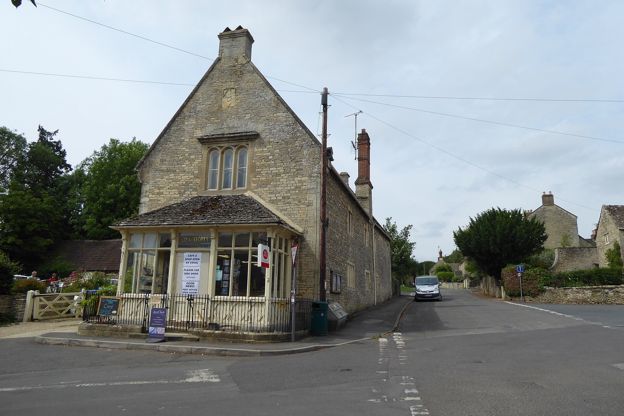
Coln Community Stores
Cafes and tearooms · Coln St Aldwyns
The village shop, café and post office on Main Street, Coln St Aldwyns, owned by local residents and the Countryside Alliance's best shop in the south west for 2026.
Walker-friendly
Verified Oct 2026
-
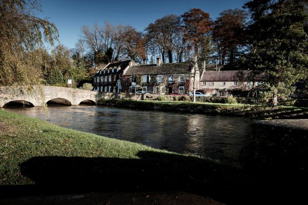
The Swan Hotel
Hotel · Bibury
A former coaching inn by the bridge over the River Coln in Bibury, part of Cotswold Inns and Hotels, with a brasserie, a lift, a free car park and dog-friendly rooms.
Dog-friendly · Wedding venues
Verified Nov 2026
-
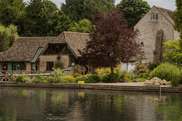
Bibury Trout Farm
Family days out · Bibury
A working trout farm on the River Coln at Bibury, founded in 1902, with a café, a shop, catch-your-own fishing and its own pay car park.
Family-friendly · Dog-friendly
Verified Oct 2026
Stay near the start
Inns, cottages and hotels within a short drive of where the walk begins, so you can set off early.
Where to stay in Coln St Aldwyns-
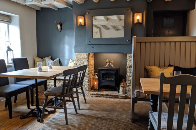
The Keepers Arms
Inn · Coln St Aldwyns
A family-run free house in Quenington with four adults-only bed and breakfast rooms above the pub, independent real ales and dogs welcome.
Dog-friendly
Verified Nov 2026
-
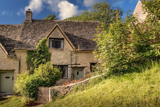
9 Arlington Row
Self-catering · Bibury
The National Trust's holiday cottage in Arlington Row, Bibury: a two-bedroom former weaver's cottage for three, with a wood burner and a private garden behind the famous terrace.
Verified Oct 2026
-
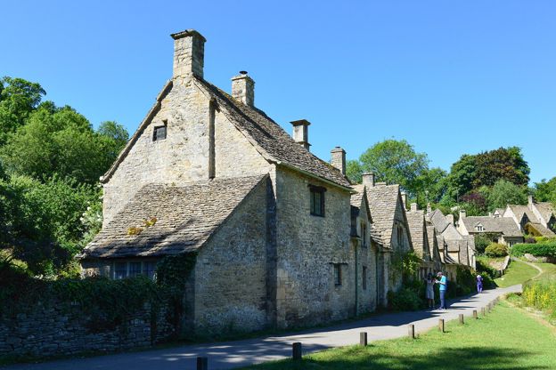
Cotteswold House
B&B · Bibury
A renovated guest house in Arlington, Bibury, a short walk from Arlington Row, with double rooms, a family suite and two self-catering cottages, and a cooked breakfast for those in the rooms.
Verified Oct 2026
More like this
Stories on this walk
-
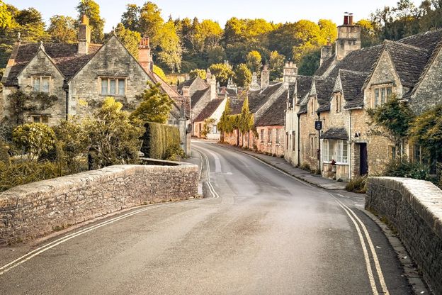
The best villages in the Cotswolds
Story · Guides · 13 minute read
The best villages in the Cotswolds, from Bibury, Castle Combe and the Slaughters to quieter Naunton, Eastleach and Biddestone: what to see in each, a walk from the green and a pub or tearoom.
-
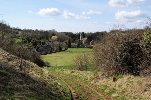
The Cotswolds without the crowds
Story · Guides · 15 minute read
Five Cotswold villages take most of the visitors: Bibury, Bourton-on-the-Water, Castle Combe, Broadway and the Slaughters. Here is when each is busiest, what the councils have done about it, the best and worst hours, and the quieter village on the same river or ridge.
More walks to try
-
Bibury, Oxhill Wood and Akeman Street
Walk · Starts in Bibury · 1 hr, 45 mins · Circular · Dog-friendly
A 4-mile (6.6km) circular walk from the bridge by the Swan in Bibury, an hour and a half to two hours with a few short, steep climbs. It goes out by the church and up above the Coln to Oxhill Wood, along the line of the Roman Akeman Street and back over farmland to Arlington Row.
-
Bibury and the River Coln
Walk · Starts in Bibury · 2 hrs · Circular
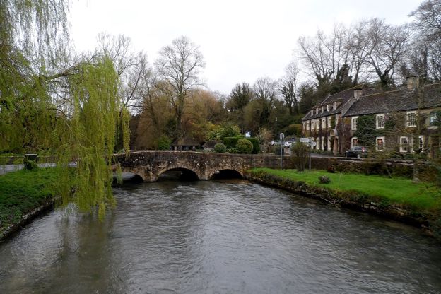
A 4-mile (6.5km) circular walk from the bridge by the Swan in Bibury, about two hours with one climb and a muddy stretch. It crosses the Coln below Bibury Court, climbs through Oxhill Wood to the line of Akeman Street, passes a dewpond and returns by Arlington Row.
-
Quenington to Fairford
Walk · Starts in Coln St Aldwyns · 3 hrs · Circular
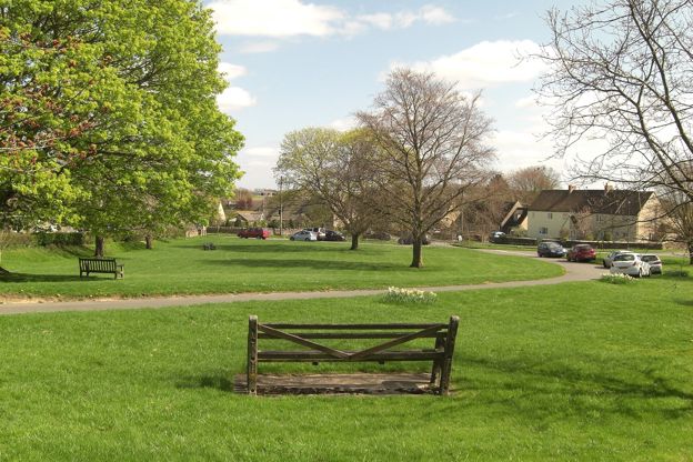
A 5.75-mile (9.25km) circular walk from the Keepers Arms in Quenington, moderate with several stiles, in two and a half to three hours: down the river valley and through a permitted wood to Fairford's Mill Bridge and church, and back. The permitted path is closed on Tuesdays.