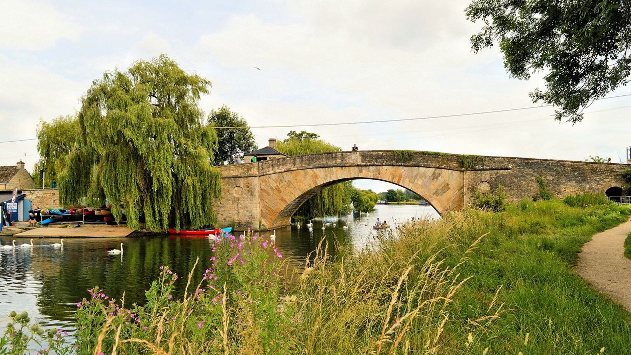
Philip Pankhurst, CC BY-SA 2.0, via Wikimedia Commons
Lechlade and St John's Lock
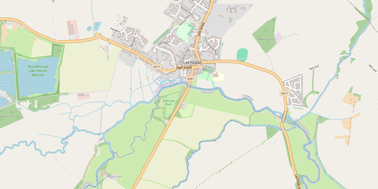
A flat 3-mile (4.8km) circular walk from Lechlade's Market Place, easy and about an hour: out to the Round House where the Coln and the old canal meet the Thames, back along the meadows past Ha'penny Bridge to St John's Lock and the Trout Inn, home by Shelley's Walk.
- Distance
- 4.8 km (3.0 mi)
- Difficulty
- Easy
- Time
- 45 mins
- Ascent
- 8 m
- Circular
- Circular
The route
Starts at The Market Place, Lechlade-on-Thames follows the Thames Path for a while Muddy in winterLivestock in fieldsRoad walkingCafé on route Download GPX
Step by step
-
Step 1: West out of Lechlade
From the Market Place, walk west along the High Street and the main road out of the town for about 400m. Where a public footpath leaves on the left, take it west across the fields.
-
Step 2: To the Round House
The footpath follows a farm drive and then the field edges south-west to the river by the Round House, where the River Coln and the old Thames and Severn Canal come in. Cross the footbridge and turn east along the Thames on the far bank.
- Muddy in winter
-
Step 3: Along the river to Ha'penny Bridge
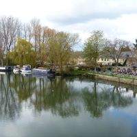
Follow the grassy riverside path east through the meadows, past the marina to Ha'penny Bridge. Cattle and geese graze here at times. Carry on east under the bridge and along the bank.
- Muddy in winter
- Dogs on lead
-
Step 4: St John's Lock and the Trout
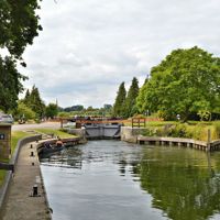
The path reaches St John's Lock, with the statue of Father Thames beside it. Beyond the lock, climb to St John's Bridge and cross the river on the A417 to the Trout Inn; walkers report no pavement on the bridge, so take care.
- Café
-
Step 5: Home by Shelley's Walk
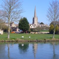
From the Trout, take Church Path, the footpath that runs west across the meadows to St Lawrence's church, and walk through to the Market Place.
Sights on the way
The sights this walk passes, numbered as on the map.
-
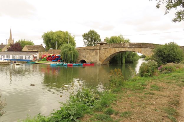
Halfpenny Bridge, Lechlade
Sight · Bridge · Lechlade-on-Thames
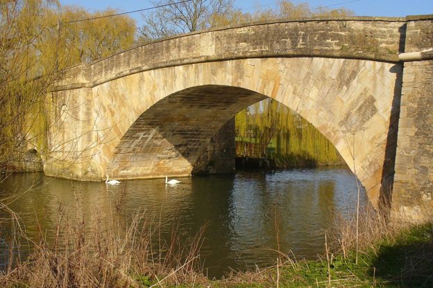
The single tall stone arch that carries Thames Street over the Thames at Lechlade, built under a turnpike Act of 1792, with a little square tollhouse on its corner. Named after the halfpenny walkers paid until 1839. Grade II; free.
-
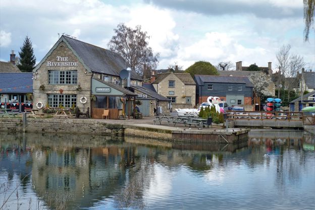
River Thames at Lechlade
Sight · River · Lechlade-on-Thames
The young Thames at Lechlade, where the Coln and the Leach join it and the old Thames and Severn Canal met it at the Round House: long the head of the navigable river, with the Thames Path past Halfpenny Bridge to St John's Lock.
-
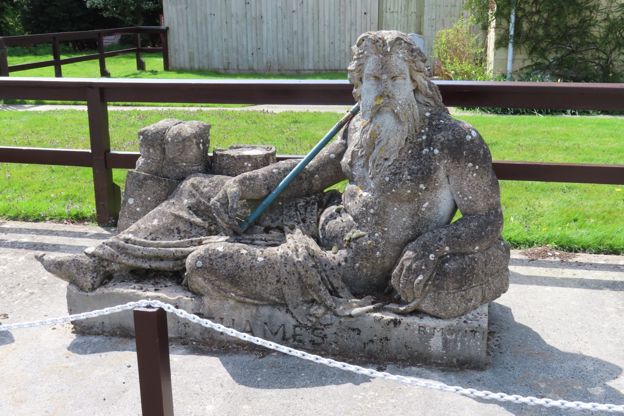
Father Thames and St John's Lock
Sight · Monument · Lechlade-on-Thames
Raffaelle Monti's reclining river god, modelled in cement for the Crystal Palace in 1854, beside St John's Lock below Lechlade, the first lock on the Thames. He lay at the river's source from 1958 until vandals drove him here in 1974. Grade II.
-
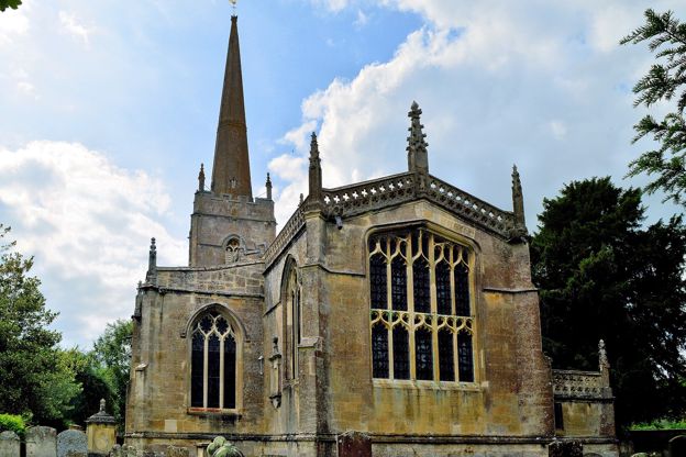
St Lawrence's Church, Lechlade
Sight · Church · Lechlade-on-Thames
Lechlade's wool church on the Market Place, rebuilt in Taynton stone in the 1470s, with a spire seen across the Thames meadows and a churchyard that moved Shelley to verse in 1815. Grade I; closed for restoration through 2026, with reopening expected by Christmas.
The walk in detail
The Lechlade and St John's Lock walk is a flat 3-mile (4.8km) loop from the Market Place in Lechlade-on-Thames, with barely 8m of climb, and takes 45 minutes to an hour. It follows the Thames past the Round House, Ha'penny Bridge and the highest lock on the river, with the Trout Inn near the end.
The Round House and Ha'penny Bridge
The first half of the walk crosses fields west of the town to the Round House, where the Coln and the old canal meet the Thames, and the river path brings you back under Ha'penny Bridge. Lechlade stands where the Thames is joined by the Leach near St John's Bridge and by the River Coln at Inglesham, west of the town, and it stood at the head of the navigable Thames. At the Round House, OpenStreetMap shows the Coln and the line of the Thames and Severn Canal meeting the river. The way back is the Thames Path, the National Trail that runs 185 miles from the river's source near Kemble to Woolwich.
Ha'penny Bridge, with its square tollhouse on the north-east corner, carries Thames Street over the river in a single arch about 8m high, built in 1792 when the street was laid out. The story in its listing is that it was named after the halfpenny toll walkers paid until 1839.
St John's Lock and the Trout
St John's Lock, built in 1791, is the highest lock on the Thames, and walkers mention a picnic table there. Beside it is Father Thames, Raffaelle Monti's statue made for the grounds of the Crystal Palace in 1854, which stood at the river's source from 1958 and was moved to the lock in 1974 after vandalism.
St John's Bridge was rebuilt in 1831 by Peter Cox on the site of a stone bridge of about 1229. The Trout Inn beside it began, its listing says, as an almshouse and hospital founded to care for the men who built that bridge, carried on as an inn after the priory nearby was dissolved in 1472 and 1473, and took the name the Trout in 1704. The Trout is closed on Mondays; from Tuesday to Sunday it serves lunch from noon and dinner from 5.30pm.
Shelley's Walk and the town
The way home is Church Path across the meadows to St Lawrence's. A visit to the churchyard in 1815 inspired one of Shelley's poems, and the church path, relaid in 2023, is known as Shelley's Walk. The church, Grade I and largely rebuilt in the 1470s, has been closed for restoration since January 2026, and the parish expects it to reopen in time for Christmas 2026, so check before you plan to go in; our story on the Cotswold wool churches has more on it. Near the end you pass a small mid eighteenth-century brick summerhouse with a pediment, west of Church House. The New Inn on the Market Place, an early eighteenth-century coaching inn recorded by that name from 1754, is where the walk finishes. Also on the Market Square, Lynwood & Co is a café for breakfast, coffee and lunch, open from 8am to 4pm (3pm on Sundays).

The Cotswolds Info newsletter
Events, new places and the best of the season, about once a month. Unsubscribe at any time.
What walkers report
Flooding in winter and cattle beside the river are the two things walkers mention most. Walkers turned back in January and February 2026 with the path under water, and found it impassable in November 2024, so check before you go after rain. In summer it is dry, with flies by the water and a few overgrown patches, and one walker in October 2026 found the field-edge half narrow and enclosed by trees and bushes. Walkers also report a short stretch of road without a pavement, by the Trout over St John's Bridge.
Dogs and parking
Dogs are welcome on the walk, but walkers report cattle and geese beside the river, sometimes loose on the path, so keep a dog on a lead or under close control there; in September 2025 and April 2025 walkers' dogs swam in the Thames. Our guide to walking the Cotswolds with a dog has the rules around livestock.
The route gives no car park of its own. Walkers report town-centre parking limited to 2 hours, and use the riverside pay-and-display car park a short walk from the start, which is busy at peak times. The public toilets are on Burford Street. Without a car, the 77 runs from the Market Place to Fairford and Cirencester about four or five times a day, Monday to Saturday.
Longer walks from Lechlade
For a longer day, the 4.5-mile loop by Buscot and the Thames goes on downstream from the same bridges, crossing the river at Buscot Weir. Up the Coln, the walk from Quenington to Fairford is 5.75 miles, and to the north, the loop from Eastleach up the River Leach follows the Thames's other tributary through the fields. Kelmscott Manor, William Morris's country home, is about 3 miles away and opens from April to October; it closes for the winter on 31 October 2026 and reopens in April 2027.
Places on the way
-
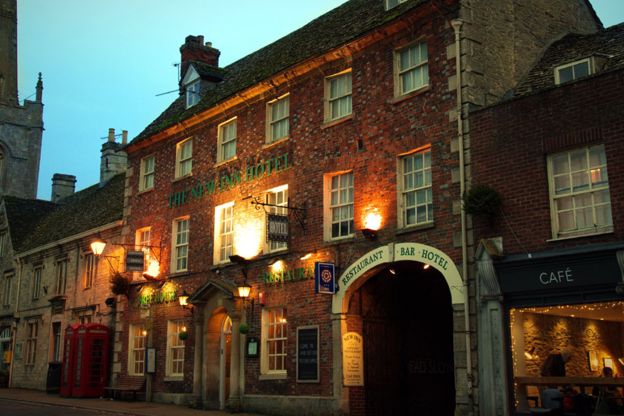
The New Inn Hotel
Hotel · Lechlade-on-Thames
A 17th-century coaching inn on the Market Place in Lechlade-on-Thames, with thirty rooms, a restaurant and bar, and weddings.
Wedding venues
Verified Nov 2026
-
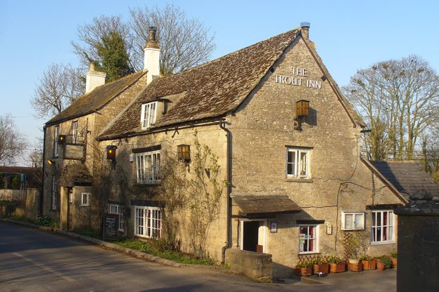
The Trout Inn
Pubs · Lechlade-on-Thames
A family-run pub by St John's Lock at St John's Bridge, Lechlade, recorded as an inn by 1692, with a riverside garden and fishing rights on the Thames.
Walker-friendly · Family-friendly
Verified Oct 2026
-
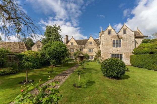
Kelmscott Manor
Historic houses and heritage · Lechlade-on-Thames
William Morris's country home by the upper Thames near Lechlade, which he rented from 1871 until 1896, with its rooms, gardens and his grave nearby.
Walker-friendly · Family-friendly
Verified Oct 2026
-
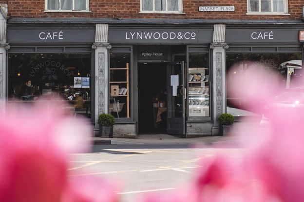
Lynwood & Co, Lechlade
Cafes and tearooms · Lechlade-on-Thames
The first Lynwood & Co café, opened on Lechlade's Market Square in January 2015: an Australian-style café for breakfast, coffee and lunch, open from 8am every day.
Verified Oct 2026
Stay near the start
Inns, cottages and hotels within a short drive of where the walk begins, so you can set off early.
Where to stay in Lechlade-on-Thames-
Bridge House Campsite
Camping · Lechlade-on-Thames
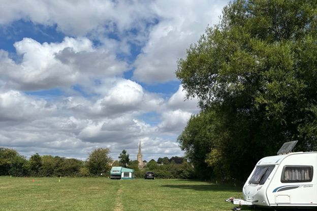
A small family-run touring and camping field on Thames Street, Lechlade, a short walk from the river and the town, with 42 pitches and three bell tents, open from late March until it closes for the winter.
Dog-friendly · Walker-friendly
Verified Nov 2026
-
The Lakes by YOO
Self-catering · Lechlade-on-Thames
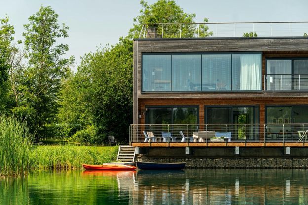
An 850-acre lakeside estate at Coln Park, west of Lechlade, with rooms, apartments, cabins and houses sleeping up to 14, a spa with a 17-metre pool, and a lakeside bar and kitchen.
Family-friendly · Hot tubs
Verified Nov 2026
-
The Plough, Kelmscott
Pubs · Kelmscott
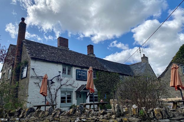
Kelmscott's village pub, a listed stone inn dated 1690, a few minutes from Kelmscott Manor and the Thames Path, serving British pub classics, breakfast and Sunday roasts, with a garden and eight bedrooms.
Verified Oct 2026
More like this
Stories on this walk
-
The best pubs in the Cotswolds
Story · Guides · 11 minute read
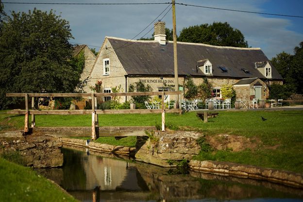
The best pubs in the Cotswolds: village pubs on the green at Biddestone and Guiting Power, medieval inns at Castle Combe and Lacock, riverside pubs at Lechlade and Swinbrook, pubs with rooms round Kingham, and the pubs at the end of our walks.
-
The Cotswolds in July
Story · Guides · 8 minute read
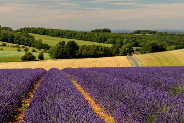
The Cotswolds in July: the warmest and sunniest month, the lavender at its peak, the air tattoo, the Cotswold Show and four music festivals, the gardens and houses that open only in summer, cool walks for hot days, and the day the schools break up.
-
William Morris and the Cotswolds
Story · History · 9 minute read
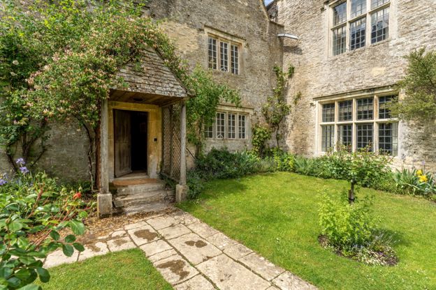
William Morris's Cotswold life: Kelmscott Manor, his heaven on earth by the upper Thames, his grave at Kelmscott, the churches at Inglesham and Burford he fought for, and the Bibury line he may never have said.
More walks to try
-
Eastleach and the River Leach
Walk · Starts in Cirencester and the Coln Valley · 1 hr, 45 mins · Circular · Dog-friendly
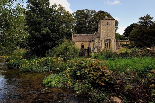
A 4.4-mile (7.1km) circular walk from Eastleach, an hour and a half to two hours with about 70m of climbing and plenty of mud: past two Norman churches and over the Leach, up the quiet valley to the Roman Akeman Street, and back down the other side to the Victoria Inn.
-
Lechlade, Buscot and the Thames
Walk · Starts in Lechlade-on-Thames · Circular
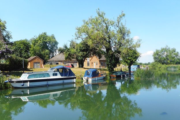
A level 4.5-mile (7.2km) circular walk from Halfpenny Bridge, Lechlade, with three stiles and no time given: by the Thames Path meadows to Inglesham church, over to Buscot by lanes and fields, across Buscot Weir and Lock, and back by St John's Lock and the Trout Inn.
-
Quenington to Fairford
Walk · Starts in Coln St Aldwyns · 3 hrs · Circular
A 5.75-mile (9.25km) circular walk from the Keepers Arms in Quenington, moderate with several stiles, in two and a half to three hours: down the river valley and through a permitted wood to Fairford's Mill Bridge and church, and back. The permitted path is closed on Tuesdays.