The Fosse Way through the Cotswolds
Nearly two thousand years after the army laid it out, the Fosse Way is still the spine of the north Cotswolds. Here is its line across the hills, the old roads that cross it, the towns that grew up along it and where to walk it.
· 8 minute read
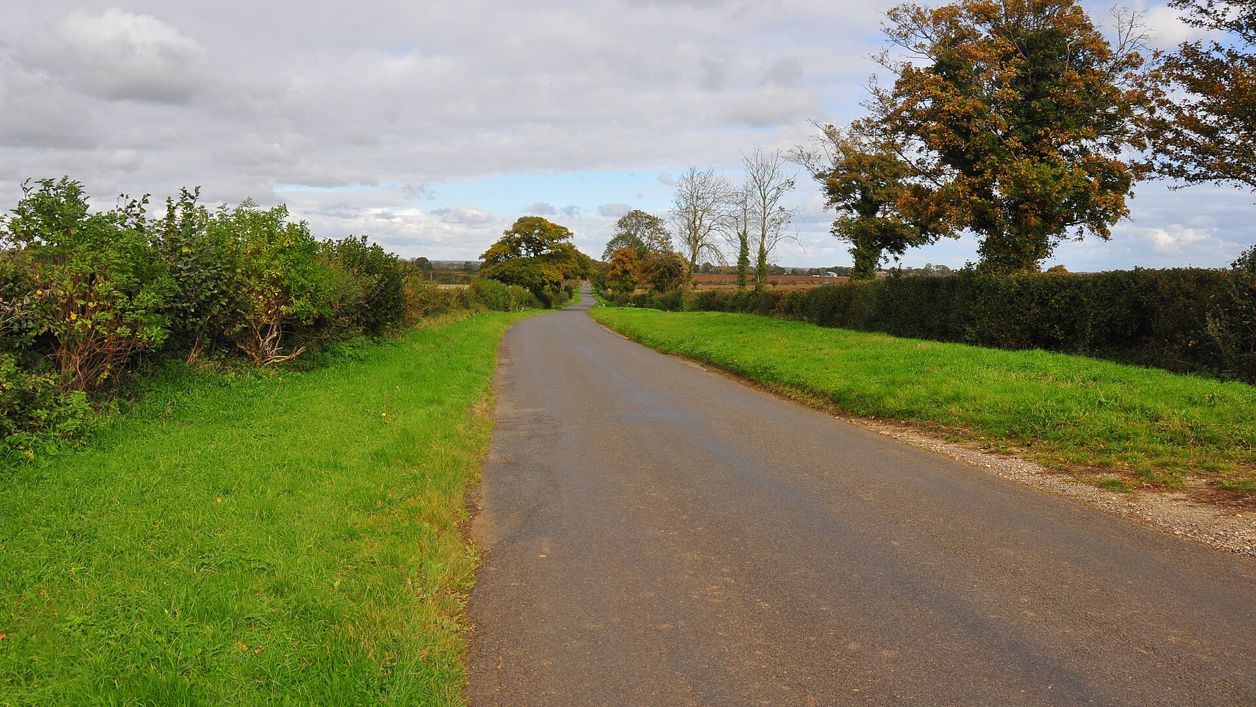
The Fosse Way is the Roman road that ran from Exeter to Lincoln, and it crosses the Cotswolds on a nearly straight line from Cirencester to the Warwickshire border. North of Cirencester it is the A429 almost all the way, past Northleach and through Stow-on-the-Wold and Moreton-in-Marsh to Stretton-on-Fosse. South-west of Cirencester, beyond Kemble, it leaves the tarmac and runs for miles as a green lane. Our guide to the Roman Cotswolds covers Corinium and the villas. This is the story of the road itself, the old ways that cross it, and the towns it made.
A Roman road across England
The Roman army laid out the Fosse Way from Exeter by Ilchester, Bath, Cirencester and Leicester to Lincoln, crossing Watling Street at High Cross in Leicestershire, and Lincolnshire's Historic Environment Record says it was established by AD 47. Its name probably comes from the Latin fossa, a ditch. In the Cotswolds the Cotswolds National Landscape Board describes the Roman road network growing up around two main routes, the Fosse from Bath through Cirencester to Stow and Moreton, and Ermin Street from Gloucester to Cirencester.
The line is the thing to notice. The road runs across the grain of the hills in long straight lengths, climbing out of each valley and over the next wold rather than winding round, and at Stow it tops a hill about 240m up. From a car on the A429 you feel it as long climbs and long descents with almost no bends.
Cirencester to Northleach
Cirencester was Corinium, where the Fosse met Ermin Street from Gloucester and Akeman Street from St Albans, and the Corinium Museum says it grew into the second-largest town in Roman Britain after London. The Corinium Museum on Park Street, open daily, has the finds.
North-east of the town the A429 drops into the Coln valley at Fossebridge, where the Inn at Fossebridge, an early seventeenth-century inn with riverside gardens, has stood by the crossing for four centuries. Then it climbs again to Northleach. The Victoria County History (opens in a new tab) notes that the road was recorded there as the 'Fos' about 1220, and that it formed the western boundary of the parish, so the little wool town stands just off it rather than on it.
At the crossroads on the Fosse west of Northleach stands the Old Prison, a house of correction of 1791 built on the lines of Sir George Onesiphorus Paul's prison reforms, now a café with the old cells and Victorian courtroom free to see. The county history adds that before the coaching age the Fosse mattered more than the road through the town: an account of about 1710 described where Northleach lay by reference to the Fosse.
The Saltway and the roads that cross it
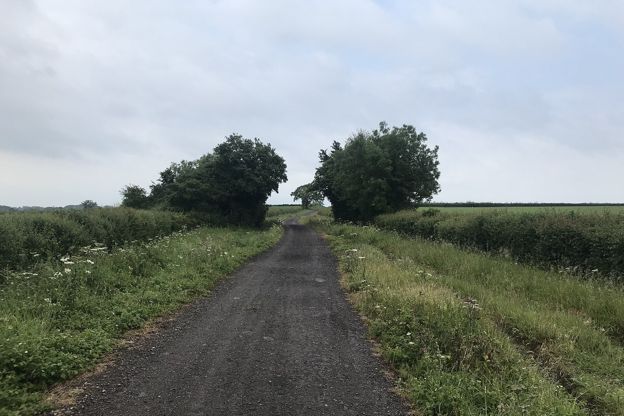
Old roads cross the Fosse all the way up, and the best known is the Saltway. Salt from the brine springs at Droitwich in Worcestershire was carried south-east over the hills to the Thames at Lechlade, and the county history (opens in a new tab) finds the route recorded as salt street in 1383 at Hampnett and as the salt way in 1652 at Northleach. South-west of Northleach it marks the parish boundary as far as the Fosse, meeting it at a crossroads that was probably the meeting place of Bradley hundred.
Our walk from Northleach to Hampnett and back by the Saltway crosses the Fosse by the Old Prison on the way out and comes back along the Saltway to cross it again, both times on the fast A429, so take care. At Stow the Fosse crosses the old Cotswold Ridgeway, and the road from Evesham to Burford runs with it for a mile; the county history suggests that this too may be an ancient saltway from Droitwich.
Further north, at Moreton, the Fosse crosses the old London to Worcester road, which enters the parish at the Four Shire Stone, where Gloucestershire, Oxfordshire, Warwickshire and Worcestershire once met, and which was turnpiked in 1731. The Fosse itself became a turnpike in 1755 and stayed one until 1877.
Bourton and the Windrush crossing
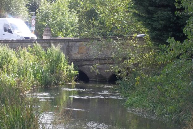
The Fosse skirts Bourton-on-the-Water on the parish's north-west edge, but the Roman village there grew up because of it. The county history (opens in a new tab) describes a settlement round a posting house, the mansio, beside the road at the Windrush crossing at Bourton Bridge, its ruins mostly under the old railway embankment, and buildings spreading from the bridge to the Iron Age camp at Salmonsbury. There was a Roman bridge there, a ford by the eighth century and a stone bridge by 1483.
The road was not always busy. The county history records that by the sixth or seventh century it had fallen out of use near Bourton, where eight pagan Saxon burials were found dug into the gravel of the road half a mile south-west of Slaughter Bridge. A coin of King Egbert, dropped by the ford at Slaughter Bridge, shows it in use again by the ninth century.
Stow and Moreton: towns made by the road
Stow-on-the-Wold and Moreton-in-Marsh were both founded by abbeys to make money from the road. At Stow, the county history (opens in a new tab) says, Evesham Abbey laid out a town round a long market square where the Fosse, the Ridgeway and the Evesham road meet, probably from the mid eleventh century, and had a royal grant of a market in 1107. The abbey guarded its investment: late in the twelfth century it persuaded Walter of Clifford to pull down houses built just across the Fosse to share in its trade. The Square, though houses were later built across part of it, its fifteenth-century market cross and the streets running from its corners to the main roads still show the plan the abbey made.
Moreton-in-Marsh was the abbot of Westminster's project. Between 1222 and 1246 Abbot Richard of Barking built a new town along the Fosse beside the old village, with a weekly market granted in the 1220s, and the town grew northwards along the road for centuries after. The wide High Street is the Fosse, which the people of Moreton called Stow Highway in the seventeenth century, and the Curfew Tower on its corner is said to have been the town's lock-up. Our walk from Moreton to Batsford starts on it.

The Cotswolds Info newsletter
Events, new places and the best of the season, about once a month. Unsubscribe at any time.
North to Stretton-on-Fosse
Beyond Moreton the A429 runs on north towards Halford and Warwickshire, past the village of Stretton-on-Fosse, which carries the road in its name. North Cotswold Brewery has brewed at Ditchford Farm beside it since 1999, with a shop and bar open on weekdays and Saturday mornings, and it is a fair place to end a drive up the line.
Where the Fosse Way is a green lane
South-west of Cirencester the Fosse is a different road. It leaves the town on the line of the A433 Tetbury road, then strikes off near Kemble on its own line, and OpenStreetMap shows it running south-west for about 12 miles (19km) towards Easton Grey in Wiltshire, most of the way as a track, mostly a byway open to all traffic and for a little over 2 miles a restricted byway, closed to motor vehicles. South of there, lanes carry it on towards Bath.
This is the stretch to walk if you want to feel the Roman road, a wide hedged way of grass and stone with nothing but fields either side. It is not one of our walks yet: the surface is rough and muddy in winter, vehicles may use the byway sections, and the rights of way are worth checking on Gloucestershire's and Wiltshire's maps before you go.
Walking on and across the Fosse
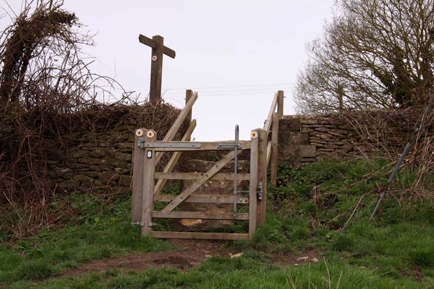
Most of our walks meet the Fosse as a crossing of a busy road, so treat it with care. The Stow and Maugersbury loop crosses the A429 twice by traffic islands and follows its pavement back into town, the Northleach walk crosses it twice, and the Moreton walk begins on the High Street, a metre above the Roman surface by the leaflet's reckoning. For a Roman road you can walk in peace, our walk from Bibury by Akeman Street follows the line of the road that came in from St Albans to meet the Fosse at Cirencester.
Mentioned in this story
The places, sights and walks in this story, each with a page of its own: what it is, when to go and how to get there.
-
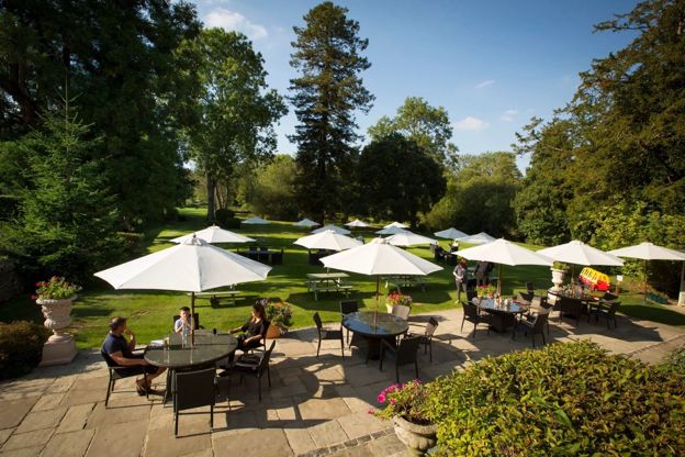
The Inn at Fossebridge
Pubs · Chedworth
-
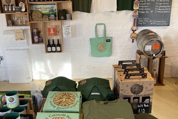
North Cotswold Brewery
Breweries and distilleries · Moreton-in-Marsh
-
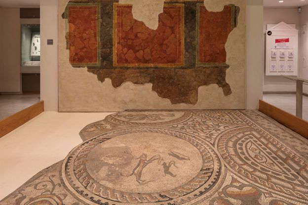
Corinium Museum
Museums and galleries · Cirencester
-
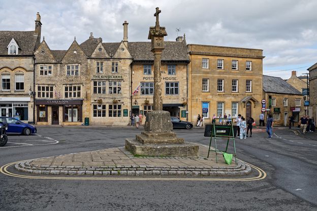
Market cross, Stow-on-the-Wold
Sight · Monument · Stow-on-the-Wold
-
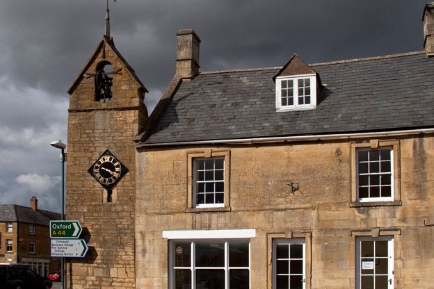
Curfew Tower, Moreton-in-Marsh
Sight · Historic building · Moreton-in-Marsh
-
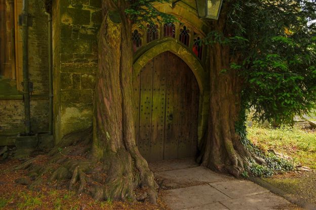
St Edward's Church, Stow-on-the-Wold
Sight · Church · Stow-on-the-Wold
-
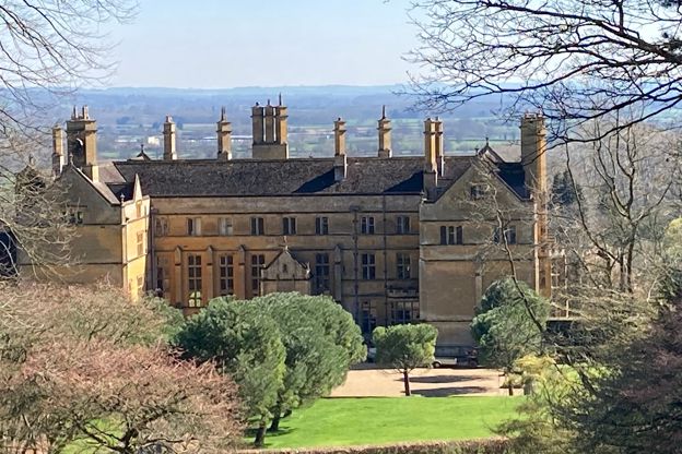
Moreton-in-Marsh and Batsford
Walk · Starts in Moreton-in-Marsh · 2 hrs · Circular
Places to stay near Cirencester
-
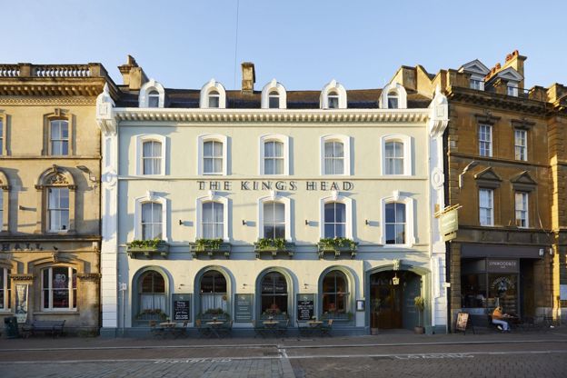
The King's Head
Hotel · Cirencester
A former coaching inn on Cirencester's Market Place with 63 bedrooms, one of Brakspear's Honeycomb Houses, open from 7am daily, with dog-friendly dining.
Dog-friendly
Verified Nov 2026
-
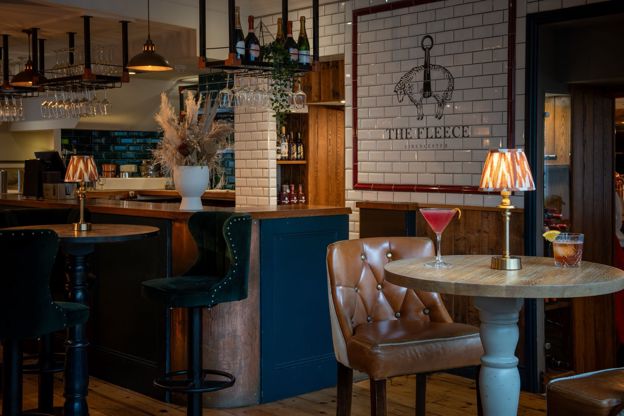
The Fleece
Inn · Cirencester
An inn with rooms on Cirencester's Market Place, run by Thwaites, with stays from £125 a room and dogs welcome in the bar.
Verified Oct 2026
-
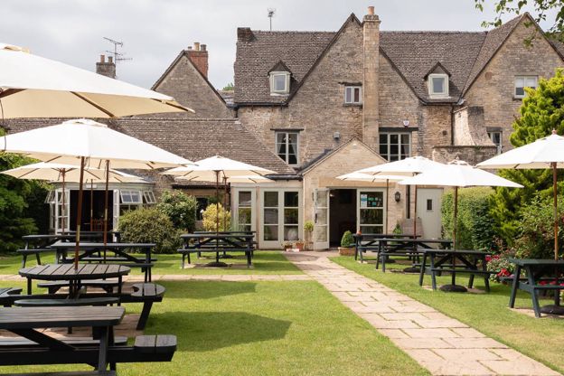
The Corinium Hotel
Hotel · Cirencester
A family-run hotel in a listed old house on Gloucester Street, Cirencester, with 15 rooms, a walled garden, free parking and dogs in every room.
Dog-friendly · Wedding venues
Verified Oct 2026
Read next
-
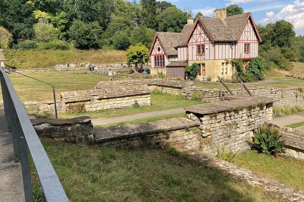
The Roman Cotswolds
Story · Guides · 10 minute read
Corinium at Cirencester, Chedworth Roman Villa, the amphitheatre, the Fosse Way and the villas you can and cannot see: where to find Roman Britain in the Cotswolds, by car and by train.
-
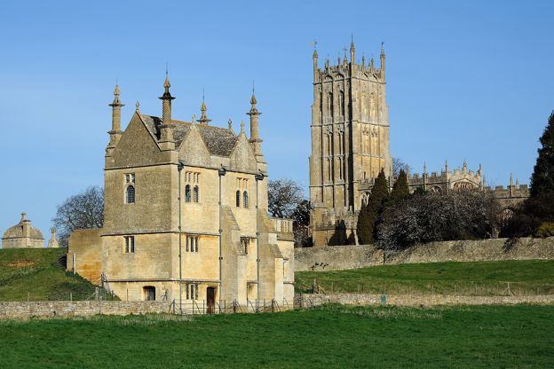
The Civil War in the Cotswolds
Story · History · 9 minute read
The storming of Cirencester and the battle of Lansdown in 1643, Sudeley Castle besieged and slighted, Campden House burned, the last battle of the first war at Stow in 1646, the Levellers at Burford and Chastleton's hidden Royalist, with where to see each.
-
The Cotswold wool trade
Story · History · 9 minute read
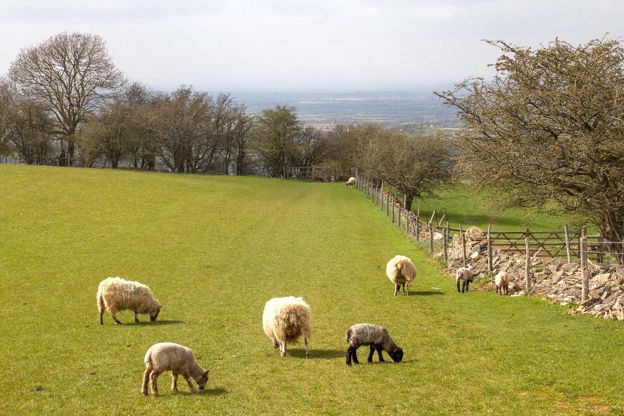
How the Cotswold sheep made the hills rich: the medieval export of raw wool through the Staple at Calais, the woolmen of Campden, Northleach and Fairford, the cloth mills of the Stroud valleys, the decline, and where to see it all today.