Tim Heaton, CC BY-SA 2.0, via Wikimedia Commons
Cotswold Way: Cleeve Hill to Dowdeswell
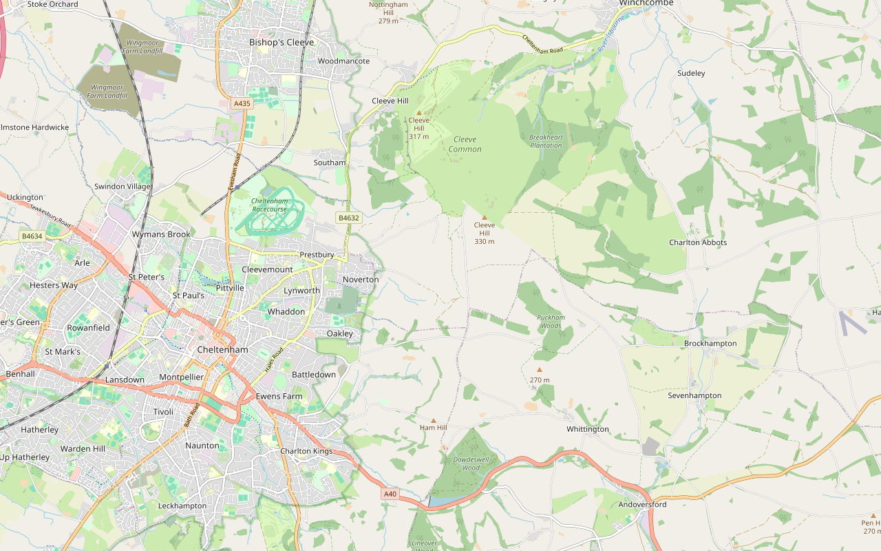
A 5.5-mile (8.8km) one-way walk on the fifth section of the Cotswold Way, from the golf club on Cleeve Hill to Dowdeswell reservoir, moderate and about three and a quarter hours: along Cleeve Cloud and across the common, then quiet lanes and a wood down to the A40.
- Distance
- 8.8 km (5.5 mi)
- Difficulty
- Moderate
- Time
- 3 hrs, 15 mins
- Ascent
- 150 m
- Circular
- One way
The route
Starts at Quarry car park by Cleeve Hill Golf Club, off the B4632 follows the Cotswold Way for a while Steep sectionLivestock in fieldsDogs on lead near sheepStilesRoad walkingCafé on route Download GPX
Step by step
-
Step 1: Cleeve Hill to Cleeve Cloud
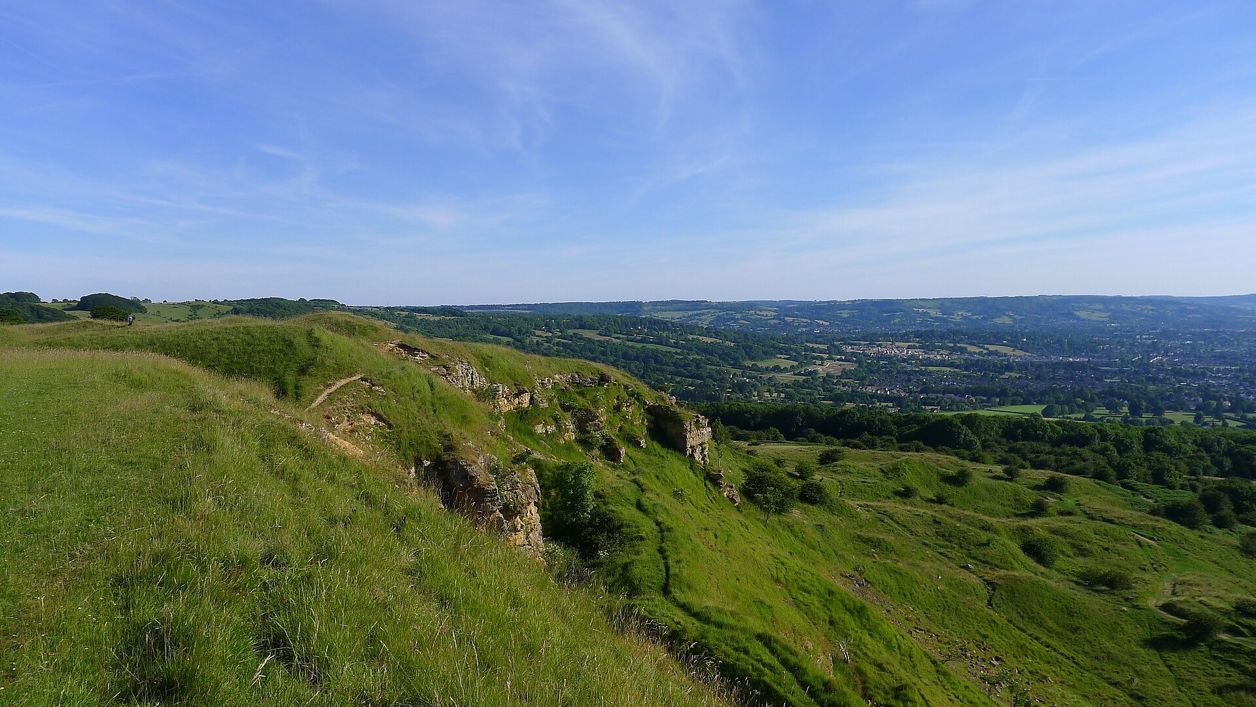
Start at the Quarry car park beside Cleeve Hill Golf Club, where the clubhouse has the café and the only toilets on the common. Follow the Cotswold Way south along the western edge of the common, past Rolling Bank Quarry and the round earthwork called the Ring.
Climb gently to the trig point on the edge, at about 317m and about 1km from the start, crossing the golf fairways on the way, and keep along the cliff top of Cleeve Cloud.
- Café
-
Step 2: Cleeve Hill camp and the common
About 2km from the start, pass the curving ramparts of Cleeve Hill camp on the cliff top. Huddlestone's Table, a square stone block, lies at the foot of the cliff below. Keep children and dogs close along the edge.
Go through the gates at the southern end of the edge and follow the waymarks south across the open common, where cattle graze all year and sheep from April to November, through two more gates.
- Dogs on lead
-
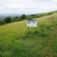
Step 3: Noverton Lane
Leave the common for Noverton Lane, a paved restricted byway, and follow it south along the top for about a kilometre, over the second high point of the section at about 300m.
Keep on along the lanes past Aggs Hill, about 5.7km from the start.
-
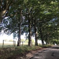
Step 4: Lanes to Ham Road
Follow the lanes south, cross a stile about 6.5km from the start, and go on past Arle Grove, a small wood that is a nature reserve, to Ham Road.
- Stiles
-
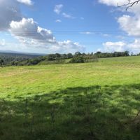
Step 5: Down through Dowdeswell Wood
Cross Ham Road and follow the public footpath past Middle Colgate Farm and into Dowdeswell Wood.
The path drops about 90m through the wood in under a kilometre and comes out by Dowdeswell Reservoir, where the section ends, about 8.8km from the start and a few hundred metres above the A40.
- Steep section
Sights on the way
The sights this walk passes, numbered as on the map.
-
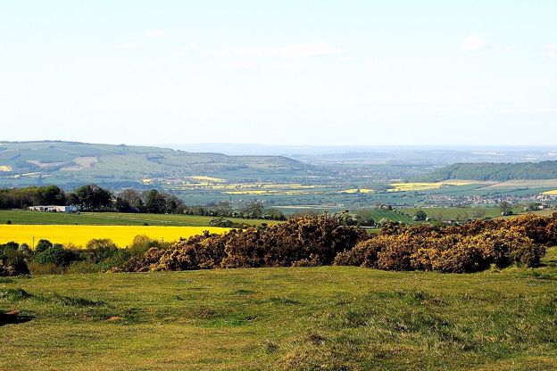
Cleeve Common
Sight · Common or park · The Cotswold Edge
Gloucestershire’s largest common: more than 400 hectares of open limestone grassland on the Cotswold Edge above Cheltenham, with the highest point of the Cotswolds at 330m, an Iron Age hillfort, a Bronze Age cross dyke and views to the Malverns and the Black Mountains.
-
Cleeve Hill camp
Sight · Hill fort or barrow · The Cotswold Edge
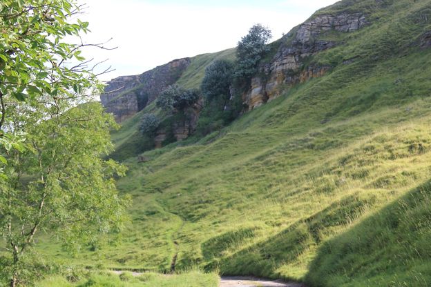
Cleeve Hill camp is a small Iron Age hillfort of about 500 BC on the cliff top at Cleeve Cloud, above Cheltenham, with two rings of rampart up to 2.5m high and the scarp as its western wall. Cut by quarries and a golf course, it is a scheduled monument on Cleeve Common.
The walk in detail
The Cotswold Way from Cleeve Hill to Dowdeswell is a 5.5-mile (8.8km) one-way walk from the golf club on Cleeve Hill, across Cleeve Common and down to Dowdeswell reservoir by the A40 above Cheltenham. It is moderate, climbs about 150m and takes about three and a quarter hours, with a café only at the start.
It is the fifth of the fifteen sections of the Cotswold Way, after Winchcombe to Cleeve Hill, and the National Trail calls Cleeve Common the highest part of the whole trail. From Dowdeswell, the sixth section carries on to Leckhampton Hill.
What the section is like
It is a walk of two halves. For the first 4km you are on open grassland along the top of the Cotswold Edge, with Cheltenham spread out below on the right and, on clear days, the Malverns and the Black Mountains beyond. Then the trail turns south along Noverton Lane and quiet lanes over the top, and finishes with a descent through Dowdeswell Wood to the reservoir.
The climbing is gentle, about 150m in all, and most of the height is lost in the last kilometre through the wood. There is no shelter on the common, which is exposed in wind and rain.
Cleeve Common and the hillfort
Cleeve Common is the largest common in Gloucestershire, about 405 hectares of limestone grassland that has never been ploughed and reseeded, and the highest ground in the Cotswolds. The trail passes the trig point on the edge, at about 317m, which has the view. The official top, at 330m, is a flat plateau beyond the radio masts, off the line. In spring and summer the grass has orchids, pyramidal, bee and common spotted among them.
Cleeve Hill camp is a small Iron Age hillfort of about 500 BC on the cliff top at Cleeve Cloud, with two curving ramparts up to 2.5m high. Quarrying and a nineteenth-century golf course have left about a third of it. Below the cliff, Huddlestone's Table is a square stone that legend ties to a Saxon king in 811, though the Cleeve Common Trust points out that the Huddlestones did not reach Southam until the 1520s.
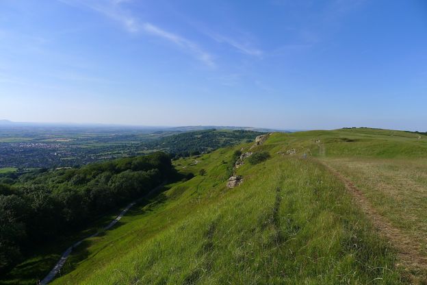
Our loop over Cleeve Common and Cleeve Cloud walks the same edge from the main road. Further on, the National Trail points out a butterfly reserve on Prestbury Hill, Bill Smylie's, and at the end Dowdeswell reservoir, one of the few places where the native white-clawed crayfish survives.

The Cotswolds Info newsletter
Events, new places and the best of the season, about once a month. Unsubscribe at any time.
Where to eat and sleep at Cleeve Hill and Dowdeswell
At the start, Flynn's on the Hill in the golf clubhouse is open every day for coffee, drinks, snacks and cakes, with a food menu from Tuesday to Sunday (ring the golf club for its hours), and the clubhouse has the only toilets on the common. Both are up steps. The Cleeve Hill Hotel, a 12-room bed and breakfast on the main road below, has a back gate on to the common and the Cotswold Way.
We list nothing at Dowdeswell. The buses at the end run into Cheltenham, a Regency town with plenty of places to eat and stay.
Getting back to Cleeve Hill
Catch a bus into Cheltenham from the stops by the Reservoir Inn at Lower Dowdeswell, on the A40 a few hundred metres from the end. Pulhams 801 runs about hourly, Sundays included, and Pulhams X52 about every two hours, Monday to Saturday, with two journeys on Sundays. From Cheltenham, Stagecoach's W runs to Cleeve Hill about hourly, Monday to Saturday, and stops on the main road below the golf club. It does not run on Sundays.
If you drive, the Quarry car park (GL52 3PW) and the golf club car park off the B4632 charge £2 for 24 hours (2026), and the Quarry car park gate is locked at night.
When to walk it
Choose a clear day, because the view is the point of the first half, out to the Malverns and the Black Mountains, and on the clearest days the Shropshire hills. Spring and summer bring the orchids. Between 1 March and 31 July dogs must by law be on a lead of 2m or less on the common, and cattle graze it all year.
Places on the way
-
Cleeve Hill Hotel
B&B · Winchcombe
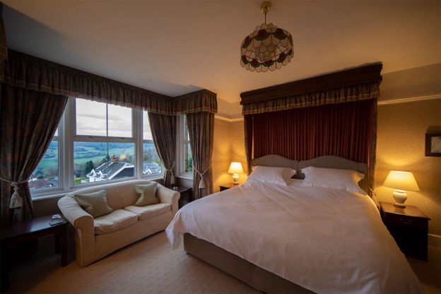
A 12-room bed and breakfast hotel on Cleeve Hill, about three miles south-west of Winchcombe, with views over the Severn Vale and a door onto Cleeve Common and the Cotswold Way.
Walker-friendly · Dog-friendly
Verified Oct 2026
Stay near the start
Inns, cottages and hotels within a short drive of where the walk begins, so you can set off early.
Where to stay in the Cotswold Edge-
The Rising Sun Hotel
Hotel · Cleeve Hill
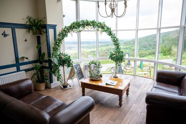
A Greene King Inns hotel, pub and restaurant with 23 bedrooms near the top of Cleeve Hill, with views over five counties from its beer garden.
Dog-friendly · Walker-friendly
Verified Nov 2026
-
Sudeley Castle Cottages
Self-catering · Winchcombe
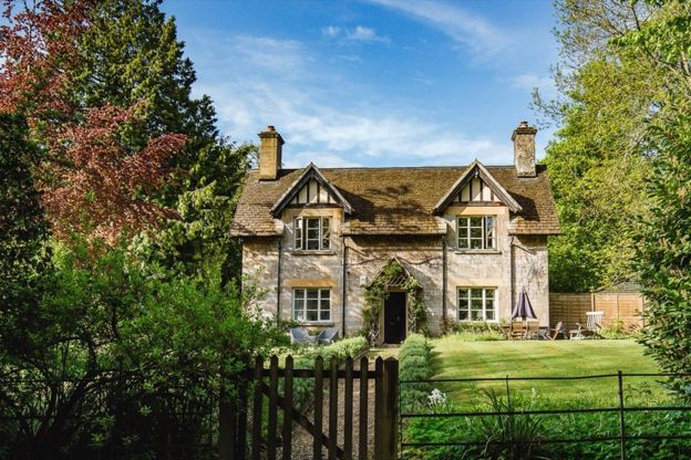
Nineteen holiday cottages on the Sudeley Castle estate at Winchcombe, sleeping three to fourteen, some dog-friendly, with free castle entry in season.
Dog-friendly
Verified Nov 2026
-
The Lion Inn
Inn · Winchcombe
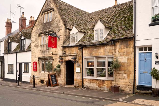
A restored fifteenth-century coaching inn on North Street, Winchcombe, with nine rooms, run by Butcombe.
Dog-friendly · Walker-friendly
Verified Oct 2026
More like this
More walks to try
-
Cotswold Way: Winchcombe to Cleeve Hill
Walk · Starts in Winchcombe · 2 hrs, 45 mins · Dog-friendly
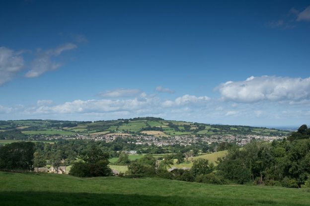
A 5.6-mile (9km) one-way walk on the fourth section of the Cotswold Way, moderate and two and a half to three hours: from Winchcombe by Sudeley up to Belas Knap, down through Breakheart Plantation to Postlip's Norman chapel, then up to the golf club on Cleeve Hill.
-
Cotswold Way: Dowdeswell to Leckhampton Hill
Walk · Starts in the Cotswold Edge · 3 hrs · Dog-friendly
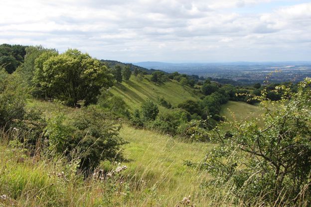
A 4.7-mile (7.6km) one-way walk on the sixth section of the Cotswold Way, from Dowdeswell reservoir to Leckhampton Hill, moderate and about three hours: a stiff climb through Lineover Wood, field paths to Seven Springs, then Hartley Lane and Charlton Kings Common.
-

The Cotswold Way
Walk · Dog-friendly
The Cotswold Way is a 102-mile (164km) National Trail walk from Chipping Campden to Bath along the escarpment, in 15 sections; the official guidebook suggests seven to ten days, and its frequent steep climbs make it hard going.