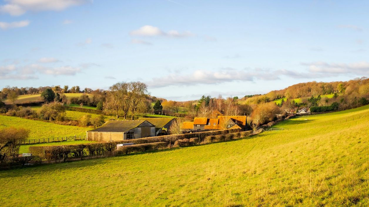
Whitfield's Tump, Minchinhampton Common
Whitfield's Tump is a Neolithic long barrow on Minchinhampton Common, a low mound 26m long where early farmers buried their dead, named from the tradition that the preacher George Whitefield spoke from it in 1743. A scheduled monument on free National Trust land.
Hill fort or barrow
MinchinhamptonWhitfield's Tump is a long, low mound on the north-west of Minchinhampton Common, above Amberley and the valley towards Nailsworth. It is a Neolithic long barrow, a communal grave built by the first farmers in Britain more than four thousand years ago. It takes its name from the eighteenth-century preacher George Whitefield.
History
Long barrows are the earliest monuments to the dead in Britain. Historic England dates long barrows as a class to the Early and Middle Neolithic, about 3400 to 2400 BC by its reckoning, when farming communities built long mounds of earth and stone over the bones of many people, often added to over generations. This one survives as a clear earthwork in the turf.
What the mound holds
The mound was dug from two parallel ditches, one on either side, which have since silted up and now lie buried under the turf. Its south-eastern end has been disturbed, possibly by an excavation that nobody recorded, and a small round mound beside it is thought to be the spoil heap from that dig. No record of what it found survives.
George Whitefield's sermon
The name comes from George Whitefield, one of the leaders of the evangelical revival, who preached in the open air to crowds across England. His diary for March 1743, as Playne quotes it, records preaching to about 12,000 people at Stroud and then, at about six in the evening, to "a like number on Hampton Common", and Playne's history of the parishes of Minchinhampton and Avening says he no doubt spoke from the top of this mound. Historic England gives the name as a tradition, and the spelling has drifted from his: the barrow is usually written Whitfield's, the preacher Whitefield.
What to see
The barrow runs north-west to south-east, 26m long and 15m wide, and rises to about 1.3m at its highest. It is easiest to read from a little distance, as a long swelling in the grass, with the hollow and the small spoil mound at the south-east end. From here the ground falls away to the west, and the views run out over Amberley and the wooded valleys.
Visiting
Whitfield's Tump is on open National Trust common land, free and open at all times. The ground is rough grass, with no surfaced path to the mound. Cattle graze the common and wander across its roads; dogs are welcome under close control, and the National Trust asks for a short lead around livestock and from March to August, when birds nest on the ground. It is a scheduled monument, so do not dig or ride on it. Winter and evening light show the mound and its old disturbance best.
Getting there
Drive onto the common and use one of the small car parks beside the roads across it, open dawn until dusk, then walk north-west over the grass towards Amberley. The 620 bus between Stroud and Bath stops at Tom Long's Post on the common, Monday to Saturday, a longer walk across the grass. From Minchinhampton itself it is about 2km on foot across the common.
Nearby
The Amberley Inn is the closest place for a drink, about half a kilometre away, and the Old Lodge is in the middle of the common. The Black Horse at Littleworth, on the common's edge, has a conservatory looking across the valley. On the same common lie the Iron Age bank of the Bulwarks; south-east of the town stands the Long Stone, and to the north is Rodborough Common, with the Bear of Rodborough on its edge. Our guide to Stroud and the Five Valleys covers the country round about.
Walks past Whitfield's Tump, Minchinhampton Common
-
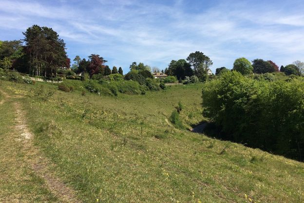
Rodborough Common and the fort
Walk · Starts in Stroud and the Five Valleys · 45 mins · Circular · Dog-friendly
A 2-mile (3.4km) circular walk on Rodborough Common above Stroud, easy, nearly level and about 45 minutes: up to the battlemented folly of Rodborough Fort, down the open western edge, and back past the Bear and an ice-cream stop. Grassy, and grazed by cattle.
Stay and eat near Whitfield's Tump, Minchinhampton Common
-
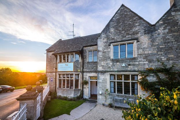
The Amberley Inn
Inn · Nailsworth
An inn with 13 en-suite rooms on the hillside above the Woodchester valley at Amberley, near Nailsworth and Stroud, which describes itself as a restored 16th-century inn.
Dog-friendly · Family-friendly
Verified Nov 2026
-

The Old Lodge
Inn · Nailsworth
An inn with six rooms on Minchinhampton Common, about two miles by road from Nailsworth, breakfast included and food all day.
Walker-friendly
Verified Nov 2026
-
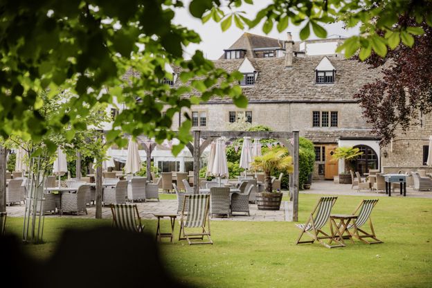
The Bear of Rodborough
Hotel · Stroud
A seventeenth-century former coaching inn on the National Trust's Rodborough Common above Stroud, now a hotel in the Cotswold Inns and Hotels group, with dogs welcome.
Dog-friendly · Walker-friendly · Wedding venues
Verified Oct 2026
More sights to see
-
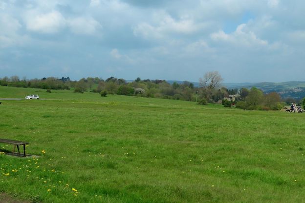
Minchinhampton Common
Sight · Common or park · Minchinhampton
Minchinhampton Common is a wide sweep of limestone grassland above Stroud and Nailsworth, in the care of the National Trust since 1913, where commoners' cattle graze and an Iron Age bank, a long barrow, pillow mounds and wartime trenches lie in the turf. Free to wander.
-
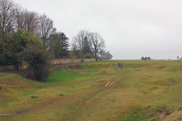
The Bulwarks, Minchinhampton
Sight · Hill fort or barrow · Minchinhampton
The Bulwarks is a Late Iron Age bank and ditch that sweeps across Minchinhampton Common north and north-west of the town: a bank 10m to 12m wide with a stone face, dated by pottery found in the 1937 excavation. It lies on free National Trust common land.
-
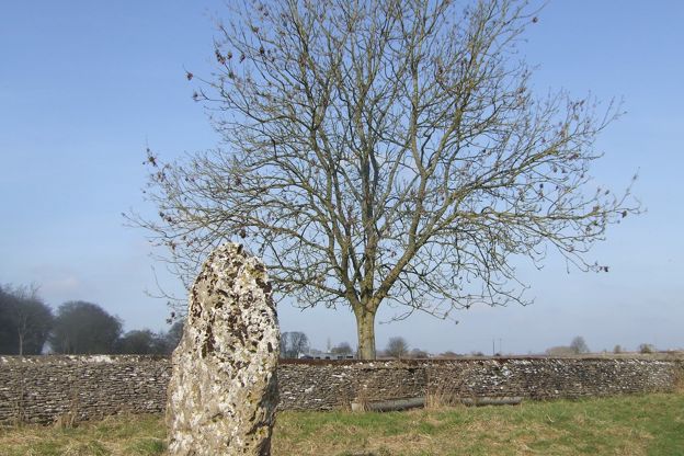
The Long Stone, Minchinhampton
Sight · Hill fort or barrow · Minchinhampton
The Long Stone is a prehistoric standing stone in farmland south-east of Minchinhampton: a slab of oolite 2.1m high, pierced by holes that give it its local name, the Holey Stone. Tradition says children were passed through them as a cure for rickets. A scheduled monument.