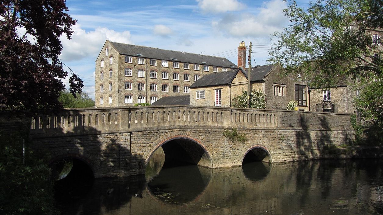
Gareth James, CC BY-SA 2.0, via Wikimedia Commons
River Avon at Malmesbury
The two branches of the Bristol Avon that almost ring Malmesbury's hilltop and meet below it, with riverside meads, old mill sites, Daniel's Well and a level path round the town. Free, on public paths and town council parks.
River
MalmesburyMalmesbury stands on a hill almost encircled by water: the Tetbury and Sherston branches of the Bristol Avon, which curl round either side of the town and meet at its southern end. The rivers gave the hilltop its defences and its mills, and today a ring of meads and footpaths runs below the abbey.
History
The rivers explain why the town is where it is. The Victoria County History describes Malmesbury on a steep outcrop of Cornbrash limestone, more than 76m up, with the two branches of the Avon almost surrounding it; an Iron Age bank found in 2000 shows the hill was fortified long before the abbey. In the Middle Ages a stone town wall ran round the top, roughly parallel with the rivers; it was feeble by the early sixteenth century and had largely gone by about 1800.
Bridges
Each road into the town had to cross water. The Victoria County History names St John's, or Mill, bridge on the Chippenham road; Holloway, or St Leonard's, bridge over the Tetbury Avon on the old road between Oxford and Bristol; Staines, or Theyn, bridge; Goose, or Wyniard, bridge; and Cow bridge on the road to Wootton Bassett and Swindon.
Mills and silk
The rivers drove Malmesbury's mills for centuries. Wyniard, Postern and Cowbridge mills were in the hands of clothiers in the late sixteenth and early seventeenth centuries, and a fulling mill, Cannop's Mill, was built by St John's bridge in about 1600. On its site, Francis Hill built Burton Hill Mill as a cloth mill in about 1790. Thomas Bridget & Co. of Derby bought it in about 1850 and turned it to making silk ribbon; in 1862 it had 56 power looms and 281 workers, and its ownership changed several times later in the century. It closed soon after 1900, reopened by 1923 making fancy silk and cotton goods until about 1950, and was sold for flats in 1984. The buildings are still called the Silk Mills.
What to see
The meads are the heart of it. OpenStreetMap names the riverside green spaces St Aldhelm's Mead and King Athelstan's Mead, after the abbot and the king who matter most in the town's story; St Aldhelm's Mead is a town council park with play areas, picnic tables, an outdoor gym and toilets. The council also looks after Conygre Mead, a nature reserve of 2.58 hectares run by the Malmesbury River Valleys Trust, and Jubilee Gardens, a small garden with benches looking out over the river valley.
West of the town centre, steps from Gloucester Street lead down a public footpath to Daniel's Well, a riverside spot on the Sherston branch. The Athelstan Museum says it is named after Daniel, a disciple of Aldhelm who became an adviser to kings and popes and came back to Malmesbury to retire; the story goes that he stood up to his neck in the cold river as a penance. In 2026 Malmesbury Town Council bought the 8.5 acres of riverside fields at Daniel's Well, which run from Foxley Road along the river, with backing from local groups including the Malmesbury River Valleys Trust; local press reports plans for tree planting, riverbank repairs and restoring a flood-damaged stone clapper bridge. From the meads, look up to the abbey on its hill.
Visiting
The riverside paths are public footpaths, free and open at all times. They are mostly level, with a few stiles, and walkers warn that some stretches are muddy after rain.
Getting there
The long-stay car park at Station Yard is at the bottom of a short hill behind the abbey and is free for up to two hours, with steep steps up into the town; the short-stay car park is at Cross Hayes by the Town Hall (SN16 9BZ), where there are public toilets. Coachstyle's bus 99 runs about hourly, Monday to Saturday, from Chippenham and Swindon, with no Sunday service.
On foot, Malmesbury and the River Avon is a 2.5-mile (3.9km) loop from Cross Hayes that drops to Daniel's Well, follows the river through the meads to the Silk Mills and comes back below the abbey and through Westport, in about an hour.
Nearby
At the top of the town are the abbey, the Market Cross and St Paul's Bell Tower, and the free Athelstan Museum in the Town Hall. The Three Cups Inn in Westport is a dog-friendly pub on the way back from the river; The Old Bell and The Kings Arms are in the town, and The Stables at The Rookery is a place to stay on the edge of town.
Walks past River Avon at Malmesbury
-
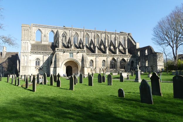
Malmesbury and the River Avon
Walk · Starts in Malmesbury · 1 hr · Circular · Dog-friendly
A 2.5-mile (3.9km) circular walk from Cross Hayes in Malmesbury, easy and about an hour, mostly level with some stiles: down from the Market Cross past Daniel's Well, along the Avon by the meads and the silk mills, and back round under the abbey.
Stay and eat near River Avon at Malmesbury
-
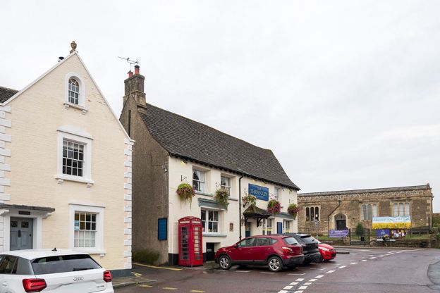
The Three Cups Inn
Pubs · Malmesbury
A dog-friendly pub on the Triangle in Westport, Malmesbury, with a meat-free kitchen named best vegan pub in Wiltshire by Vegan Food and Living, and music and events.
Dog-friendly · Family-friendly
Verified Nov 2026
-
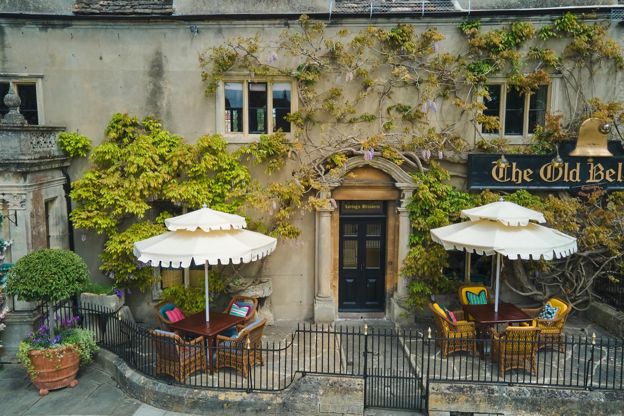
The Old Bell
Hotel · Malmesbury
A Grade I listed hotel beside Malmesbury Abbey, which says it has welcomed guests since 1220, with the Abbey Row restaurant, afternoon tea and dogs welcome.
Dog-friendly
Verified Nov 2026
-
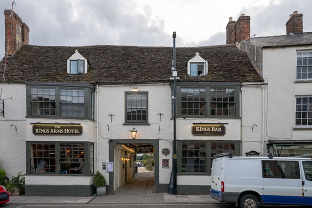
The Kings Arms, Malmesbury
Inn · Malmesbury
A refurbished coaching inn with 15 rooms and a tapas restaurant on Malmesbury's High Street, two minutes' walk from the abbey.
Verified Nov 2026
More sights to see
-
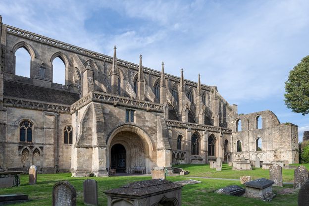
Malmesbury Abbey
Sight · Church · Malmesbury
The surviving nave of Malmesbury's great Norman abbey church, built mostly about 1160 to 1180 and the parish church since 1541, with a south porch of carved Romanesque Apostles and King Athelstan's empty tomb. Grade I; free, open daily.
-
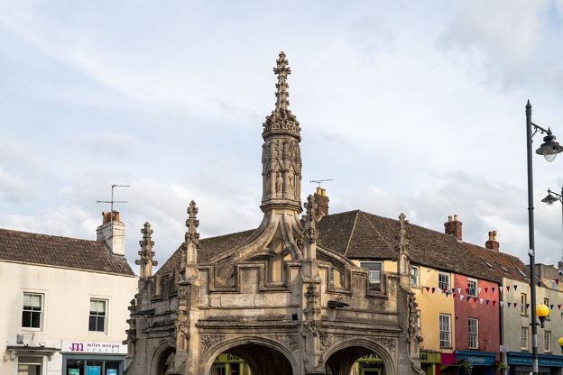
Market Cross, Malmesbury
Sight · Historic building · Malmesbury
Malmesbury's octagonal stone market cross of the late fifteenth or early sixteenth century, a vaulted shelter with pinnacles, flying buttresses and a lantern of saints, built, John Leland wrote, to keep poor market folk dry. Grade I; free.
-
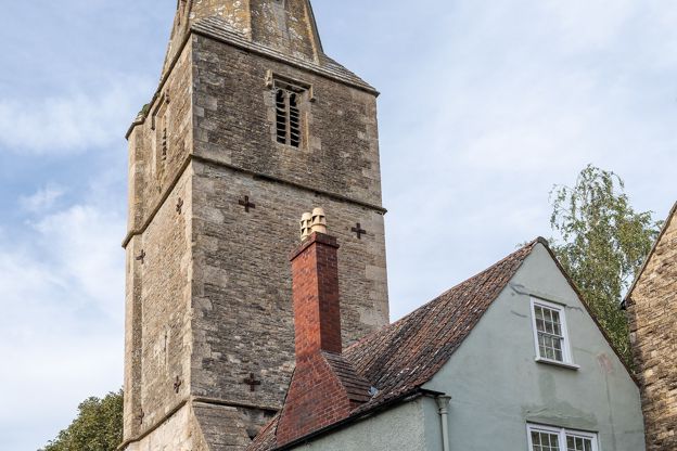
St Paul's Bell Tower, Malmesbury
Sight · Historic building · Malmesbury
The tower and spire of St Paul's, Malmesbury's medieval parish church, left standing alone on the edge of the abbey churchyard after the church fell. It has clocks below its spire and still holds a ring of eight bells, long rung for the abbey. Grade I.