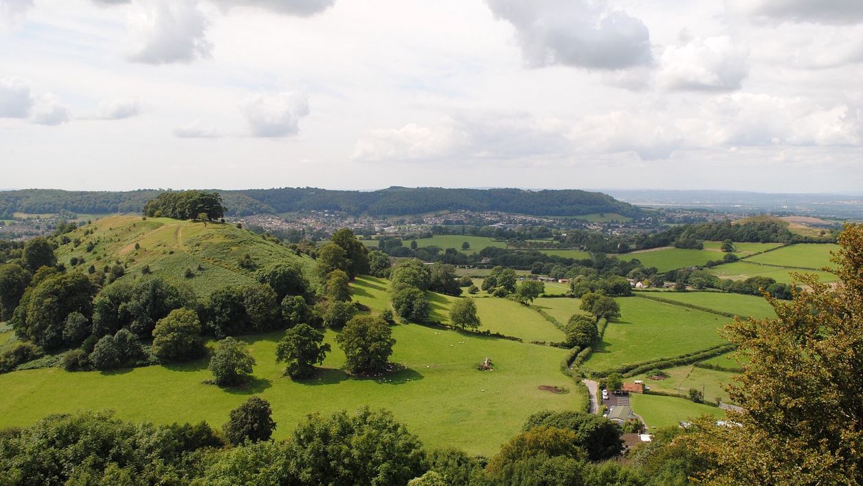
Ray Bird, CC BY-SA 2.0, via Wikimedia Commons
Things to do · Uley
Uley Bury
One of the largest Iron Age hillforts in the Cotswolds, a plateau of about 23 hectares above Uley ringed by terraced ramparts, free to walk round on the rampart path with views to Cam Long Down and the Severn.
Walker-friendly
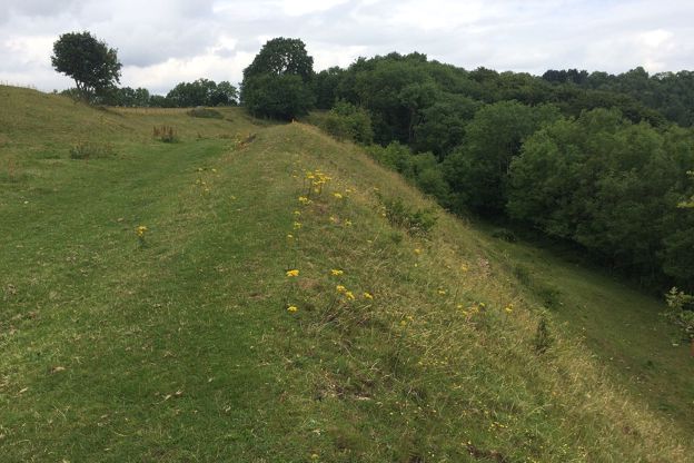
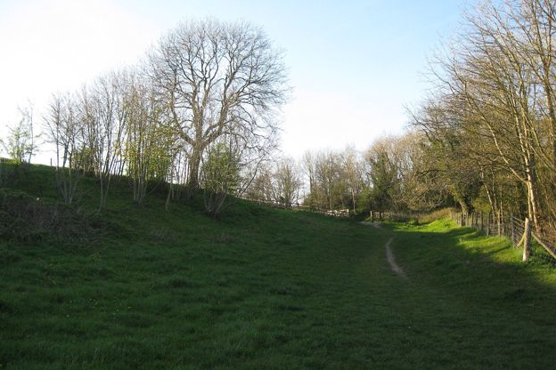
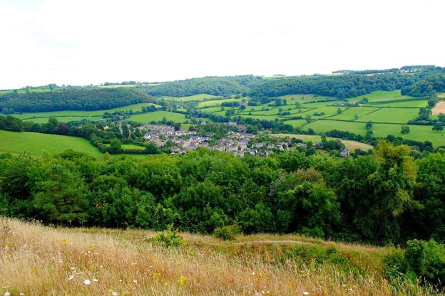
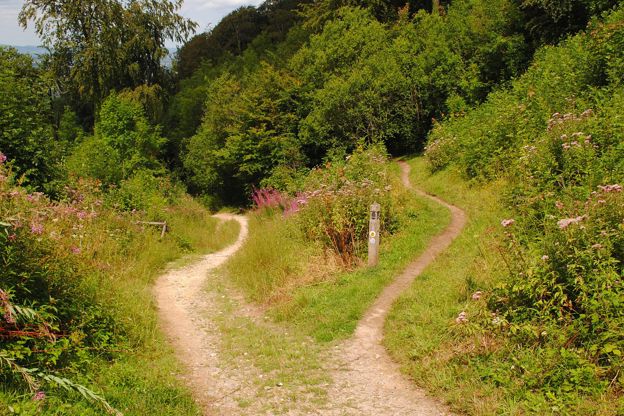
A circuit of the ramparts is one of the best short walks on the Cotswold edge, with the hills of the Severn vale laid out below. The interior is farmed, so keep to the path, and wear boots for the climb.
- Good: Free, with a path right round the ramparts
- Good: Views of Cam Long Down, Cam Peak, Downham Hill and Uley
- Good: On the Cotswold Way's circular walk from Uley
- Worth knowing: Steep climb from Uley church; steps and stiles on the full walk
- Worth knowing: No facilities on the hill; refreshments in Uley
- Worth knowing: The interior is farmed: keep to the rampart path
About
Uley Bury is an Iron Age hillfort on the flat top of the hill above Uley, which Historic England counts among the largest in the Cotswolds. Terraced ramparts and steep scarps enclose about 23 hectares, with a main entrance to the north and smaller ones to the east and south. Digging for a pipeline in 1976 found a crouched burial, Iron Age pottery, a glass bead and two iron currency bars, and over 2,000 flints show people were here long before, probably in the Neolithic.
There is nothing to pay and no gate: a path runs right round the ramparts, and the interior is farmed, so keep to it. From the rim you look across to Downham Hill, Cam Peak and Cam Long Down, and on a clear day over the Severn to Wales. The circuit takes under an hour. The Cotswold Way's circular walk from Uley, 4 miles (6.5km), climbs from the church, crosses the fort, goes over Cam Long Down and comes back round the ramparts in two and a half to three and a half hours. The leaflet warns that the bridleway on the way back can be too muddy or overgrown, in which case keep to the road.
The climb from Uley church is steep, through kissing gates and woods, and the return on the full walk adds steep steps and three stiles, so wear boots. The Cotswold Way crosses the B4066 at the lay-by just below the fort. There are no facilities on the hill; Uley has a pub and a café. Hetty Pegler's Tump, a Neolithic long barrow, is under a mile north along the edge.
Opening hours and season
No gate or opening hours; a path runs round the ramparts. The interior is farmland.
Facilities
- Roadside parkingConsiderately on the street in Uley, or the lay-by on the B4066
The details
- Time to allow
- An hour for the ramparts; three for the full walk
- Features
- Views
- History
- Iron Age hillfort; scheduled monument since 5 January 1927
- Parking
- Park considerately on the street in Uley and walk up from the church, or use the lay-by on the B4066 where the Cotswold Way meets the road below the fort.
- Without a car
- Buses run to Uley from Stroud and Dursley (Traveline South West has times). Cam and Dursley station is about 5 miles (8.7km) from Uley by road.
Photos
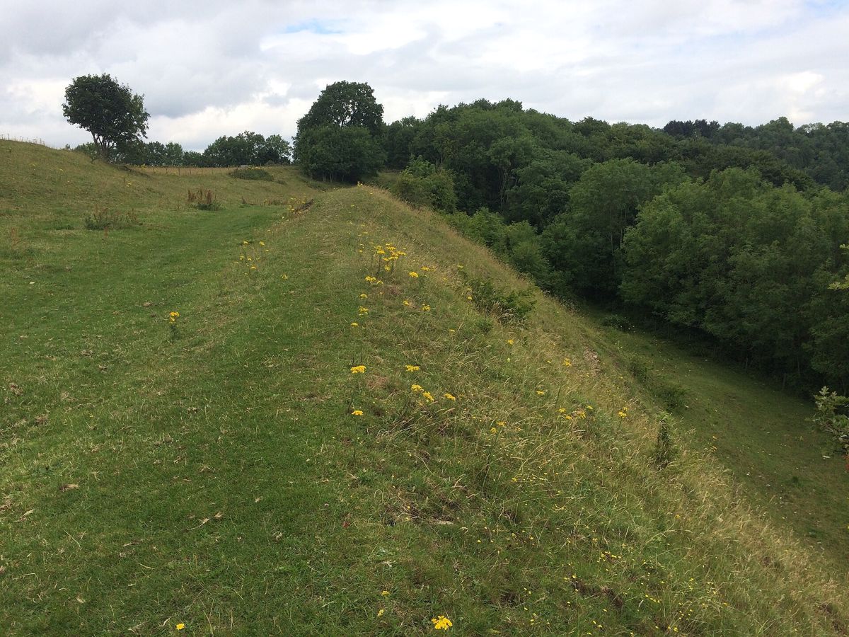
The rampart Photo: don cload, CC BY-SA 2.0, via Wikimedia Commons 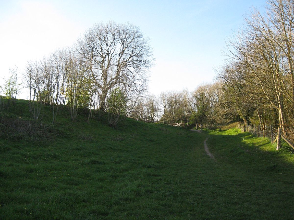
The path round the hill fort Photo: Martin Richard Phelan, CC BY-SA 2.0, via Wikimedia Commons 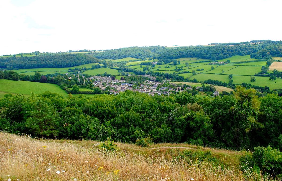
Uley from the hill Photo: Ray Bird, CC BY-SA 2.0, via Wikimedia Commons 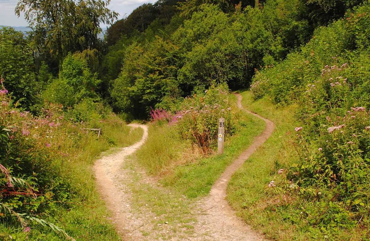
The Cotswold Way at Uley Bury Photo: Ray Bird, CC BY-SA 2.0, via Wikimedia Commons
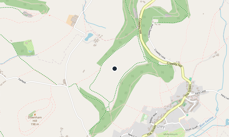
Location
Places to stay nearby
-
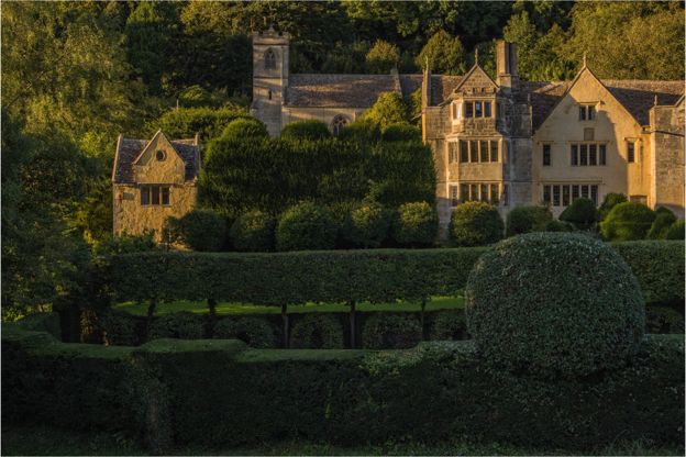
Owlpen Manor Cottages
Self-catering · Uley
Nine dog-friendly holiday cottages for two to eight, and a glamping camp, on the Owlpen Manor estate in a wooded valley a mile east of Uley.
Dog-friendly · Walker-friendly · Family-friendly
Verified Oct 2026
-
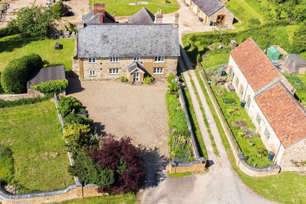
Downhouse Farm Holidays
Self-catering · Dursley
A Grade II listed farmhouse for ten and a converted granary barn for four on a working family farm at Springhill, about a mile from Dursley; dogs welcome.
Dog-friendly · Family-friendly · Walker-friendly
Verified Nov 2026
-
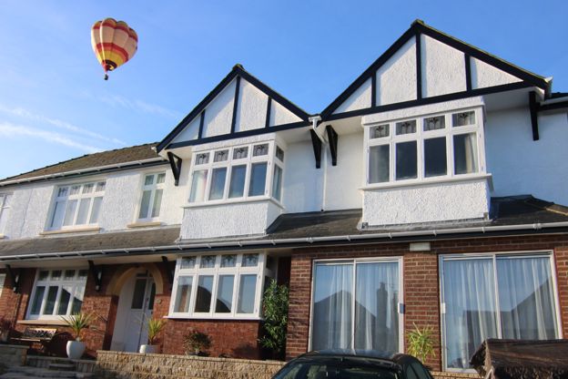
Woodland House
B&B · Dursley
A seven-room B&B in a quiet cul-de-sac six minutes' walk from Dursley, with a hot tub, a sauna, a guest kitchen and parking for seven cars.
Walker-friendly · Hot tubs · Family-friendly
Verified Nov 2026
Nearby walks, places and things to do
- Uley Brewery 0.7 km away
- Hetty Pegler's Tump (Uley Long Barrow) 1.2 km away
- Owlpen Manor Cottages 1.7 km away
- Downhouse Farm Holidays 2.0 km away
Sights nearby
-
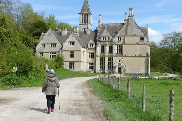
Woodchester Park
Sight · Common or park · Nailsworth
A steep wooded valley west of Nailsworth, National Trust since 1994: a deer park walled by the Huntleys after a grant of 1564, with five lakes of the early nineteenth century, a boathouse of about 1820 and the unfinished Woodchester Mansion at its head.
-
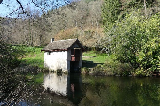
Woodchester Park boathouse
Sight · Historic building · Nailsworth
The boathouse on Old Pond in Woodchester Park is a small rustic building of about 1820, probably by John Adey Repton for the first Earl Ducie, with a boat dock below and a timber oriel over the boat opening. Grade II; seen from the path over the dam.